The best mountain hikes in Pendici Del Monte Chaberton
4.5
(6)
109
hikers
12
hikes
Mountaineering in Pendici Del Monte Chaberton offers challenging terrain and diverse landscapes. The region is characterized by majestic peaks, serene larch forests, and ancient glacial valleys. Dolomitic rocks, often containing fossils, and extensive scree slopes define much of the rugged environment, leading to significant elevation gains. The summit of Monte Chaberton, at 3,131 meters (10,272 feet), features the historic Fort du Chaberton, adding a unique historical element to the alpine experience.
Best mountaineering routes in Pendici Del Monte Chaberton
- The…
Last updated: August 3, 2026
4.0
(1)
30
hikers
6.22km
03:18
410m
410m
Hard mountaineering route. Good fitness required. Sure-footedness, sturdy shoes and alpine experience required.
12
hikers
5.90km
02:56
510m
510m
Hard mountaineering route. Good fitness required. Sure-footedness, sturdy shoes and alpine experience required.

Sign up for free
17
hikers
16.1km
06:15
840m
840m
Hard mountaineering route. Very good fitness required. Mostly accessible paths. Sure-footedness required.
4.0
(1)
7
hikers
17.7km
06:50
1,020m
1,020m
Hard mountaineering route. Very good fitness required. Mostly accessible paths. Sure-footedness required.
4.5
(2)
5
hikers
13.3km
05:38
810m
810m
Hard mountaineering route. Very good fitness required. Mostly accessible paths. Sure-footedness required.
Get access to more routes and recommendations from other explorers.
Sign up for free
Already have an account?
Our route recommendations are based on thousands of hikes, rides, and runs completed by other people on komoot.
Start today with a free account
Your next adventure awaits.
Login or Signup

Tips from the Community

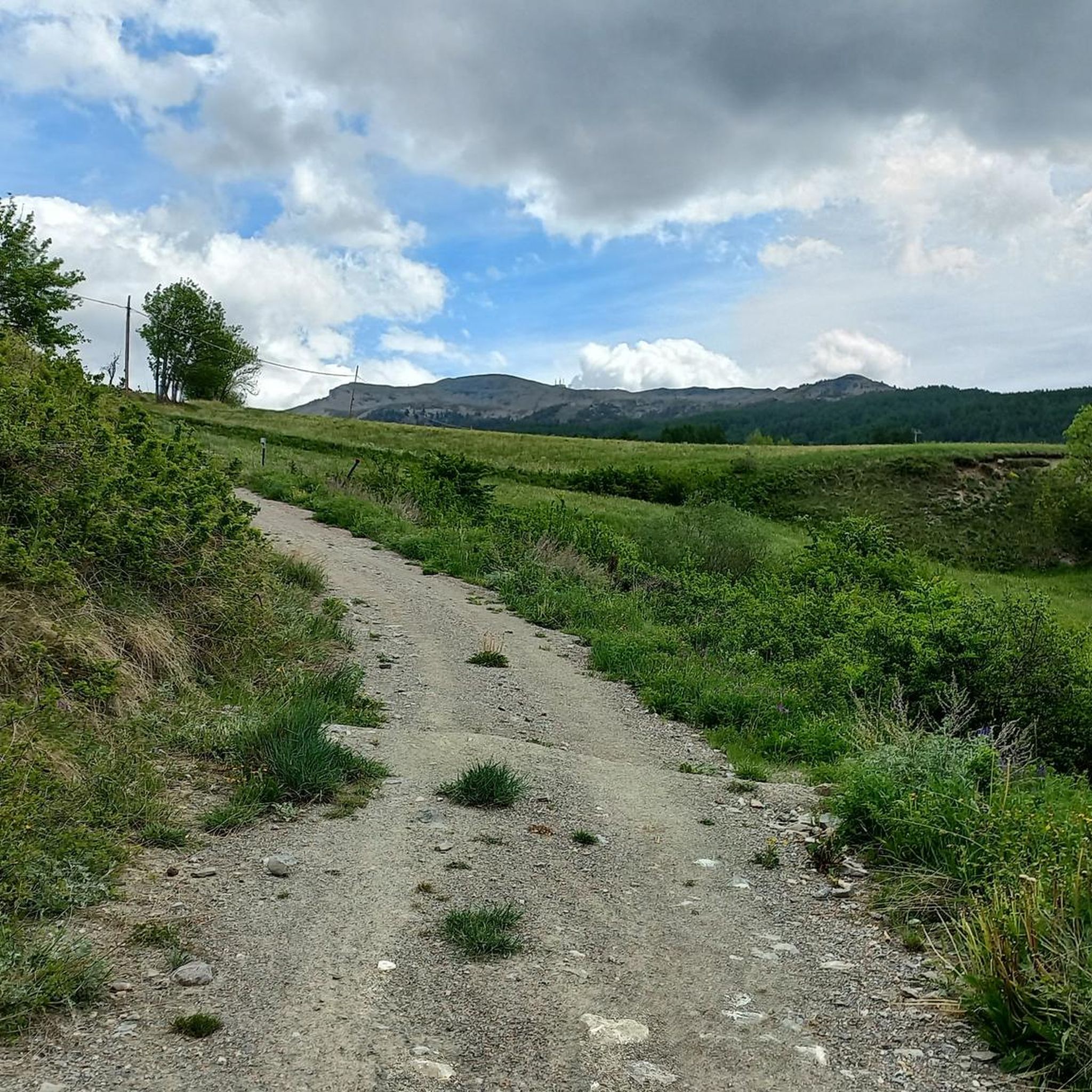
It's the first thing you notice, even from afar, when you arrive at Monginevro
0
1

https://youtu.be/_XngZJ_PL2Y?si=LbELjPjkioAoMLl7 It's not that difficult to reach from Fouillouse, but the view is amazing and worth it. A great descent.
0
0

Entrance to the village of Monginevro from the Italian side. Note the Napoleonic obelisk and a statue of three soldiers supporting a ski-jumping officer (surreal).
0
0
Alpine watershed between the Dora and Durance valleys, and a historic crossing point between Italy and France.
0
0

The climb is smooth and the view is fantastic.
18
0
The climb is never too steep and offers excellent views.
16
0

as soon as you arrive at the high battery you will see a semi-ruined building...go in and admire the 224 steps that lead you directly to the highest point of the battery...bring a small torch
0
0

Frequently Asked Questions
What kind of terrain can I expect on mountaineering routes in Pendici Del Monte Chaberton?
Mountaineering in Pendici Del Monte Chaberton involves challenging and diverse terrain. You'll encounter serene larch forests, ancient glacial valleys, and rugged dolomitic rock formations, some of which still contain fossils. Expect steep slopes of carbonatic rock and extensive scree slopes, particularly visible from the road connecting Cesana to Claviere. Routes often feature significant elevation gains, requiring good fitness and sure-footedness.
Are there any historical landmarks or natural features to see along the routes?
Yes, the region is rich in both historical landmarks and natural features. The most prominent is the historic Fort du Chaberton, also known as the 'Fort of the Clouds,' located at the summit of Monte Chaberton. You can also explore remnants of WWI and WWII artillery batteries. Other notable historical sites include Batteria Bassa del Petit Vallon and Batteria Alta du Petit Vallon. Naturally, you'll traverse through beautiful larch and pine forests, and witness the unique geology of dolomitic rocks and scree slopes.
How many mountaineering routes are available in Pendici Del Monte Chaberton?
There are over 15 mountaineering routes documented in Pendici Del Monte Chaberton, offering a range of experiences for different skill levels. The majority of these, about 14, are rated as difficult, with a few moderate options available.
What is the best time of year for mountaineering in Pendici Del Monte Chaberton?
The best time for mountaineering in Pendici Del Monte Chaberton is typically during the warmer months when trails are clear of snow and weather conditions are more stable. However, the region offers activities year-round, with snowshoeing being popular in winter. Always check local weather forecasts and trail conditions before heading out, as alpine environments can change rapidly.
Are there any circular mountaineering routes in the area?
Yes, several routes in Pendici Del Monte Chaberton are designed as loops, allowing you to start and finish in the same location. For example, the Cima Saurel / Cime de Saurel – Baita Gimont loop from Claviere is a moderate 13.6 km path traversing varied alpine scenery. Another option is the challenging Fort de la Turra – Col du Chaberton loop from Claviere, which covers over 15 km.
What are the typical durations for mountaineering routes here?
The duration of mountaineering routes in Pendici Del Monte Chaberton varies significantly based on difficulty and length. Shorter, more intense routes like the Low battery loop from Claviere can take around 3 hours, while longer, more challenging expeditions such as the Fort de la Turra – Col du Chaberton loop from Claviere can extend to over 7 hours.
What do other mountaineers say about the routes in Pendici Del Monte Chaberton?
The mountaineering routes in Pendici Del Monte Chaberton are highly regarded by the komoot community, holding an average rating of 4.6 stars from over 18 reviews. Mountaineers often praise the challenging nature of the trails, the stunning 360° panoramas from the summit, and the unique historical elements like the Fort du Chaberton.
Are there any routes suitable for families or beginners?
While many routes in Pendici Del Monte Chaberton are rated as difficult and require alpine experience, good fitness, and sturdy shoes, there are a few moderate options available. These might be more suitable for families with older children or beginners who are already accustomed to hiking in mountainous terrain. Always check the route details for elevation gain and distance to ensure it matches your group's capabilities.
Can I spot any wildlife while mountaineering in this region?
Yes, the diverse landscapes of Pendici Del Monte Chaberton provide habitat for various wildlife. In the lower slopes and pine forests, you might spot chamois and roe deer. Keep an eye on the skies above, as griffons have also been observed soaring in the area, adding to the natural allure of your mountaineering experience.
Are there any via ferratas or aided climbs in Pendici Del Monte Chaberton?
Yes, for those seeking aided climbs, the region offers via ferratas such as the Low Battery, High Battery, and Perona on the ridge, which typically depart from Claviere. These routes provide a different kind of mountaineering challenge, combining hiking with climbing elements.
Where can I find parking for the trailheads in Pendici Del Monte Chaberton?
Many mountaineering routes in Pendici Del Monte Chaberton, including popular ones like the Fungo Magico Climbing Route loop, often start from towns like Claviere or Montgenèvre. These locations typically offer designated parking areas, though it's always advisable to check specific trailhead information or local regulations for the most up-to-date parking details before your trip.
Most popular routes in Pendici Del Monte Chaberton
Most popular attractions in Pendici Del Monte Chaberton

Get inspired with the komoot mobile app


Explore more
Browse the best Mountain Hikes & Routes in other regions.
