The best walks and hikes in Casse Di Espansione Fiume Panaro
4.4
(440)
3,479
hikers
250
hikes
Hiking trails in Casse Di Espansione Fiume Panaro are primarily defined by the Panaro River and its associated floodplains and expansion basins. The region features a relatively flat to gently undulating landscape, characterized by riverbanks, artificial dams, and small lakes. This area provides a network of paths suitable for exploring the riverine environment and its surrounding natural spaces.
Best hiking trails in Casse Di Espansione Fiume Panaro
- The most popular hiking route is Sant'Anna Dam Walk along Panaro River, a 5.9 miles (9.4 km) trail that takes about 2 hours 25 minutes to complete, offering views along the river and dam.
- Another top favourite among local hikers is Panaro River Bridge – Lakes of Sant'Anna loop from Sant'Anna, a moderate 7.0 miles (11.3 km) path. This route navigates through the river landscape, connecting bridges and the lakes of Sant'Anna.
- Local hikers also love the Panaro Bridge – Iron Bridge over the Panaro loop from San Damaso, a 5.0 miles (8.1 km) trail leading through the river's floodplains, often completed in about 2 hours 5 minutes.
- Hiking in Casse Di Espansione Fiume Panaro is defined by river paths, dam structures, and small lakes, offering a mix of natural and engineered landscapes. The network includes over 220 routes, providing options for easy, moderate, and difficult ability levels.
- The routes in Casse Di Espansione Fiume Panaro are highly rated by the komoot community with an average score of 4.4 stars from over 300 reviews. More than 2800 hikers have used komoot to explore Casse Di Espansione Fiume Panaro's varied terrain.
Last updated: October 8, 2026
4.4
(22)
74
hikers
9.42km
02:23
20m
20m
Embark on the Sant'Anna Dam Walk along Panaro River, a moderate hike that offers a unique blend of nature and engineering. This route spans 5.9 miles (9.4 km) with a gentle elevation gain of just 70 feet (21 metres), making it accessible for many. You can expect to complete this walk in about 2 hours and 23 minutes, enjoying varied terrain from asphalt to gravel and natural surfaces as you explore the flood control system.
To begin your adventure, you can park your vehicle at via Togliatti. From there, a gravel path leads directly to the embankment, where the paved cycle-pedestrian path starts. The trail is well-maintained and clearly marked, thanks to the municipality of San Cesario sul Panaro. This ensures a smooth and enjoyable experience for all visitors, with easy access to the route.
This trail is set within a 300-hectare flood control system designed to protect local communities from the Panaro River. The area, despite its engineered origins, has become a haven for wildlife, with water bodies formed from old gravel extraction sites now supporting diverse plant and animal species. Walking across the Diga di Sant'Anna sul Panaro offers a close-up view of this vital infrastructure and the surrounding protected wetlands.
4.5
(34)
111
hikers
11.3km
02:52
20m
20m
Moderate hike. Good fitness required. Easily-accessible paths. Suitable for all skill levels.

3.3
(3)
30
hikers
Easy hike. Great for any fitness level. Easily-accessible paths. Suitable for all skill levels.
4.5
(2)
13
hikers
Easy hike. Great for any fitness level. Easily-accessible paths. Suitable for all skill levels.
3.5
(4)
29
hikers
Easy hike. Great for any fitness level. Easily-accessible paths. Suitable for all skill levels.
Get access to more routes and recommendations from other explorers.
Already have an account?
Our route recommendations are based on thousands of hikes, rides, and runs completed by other people on komoot.
Start today with a free account
Your next adventure awaits.
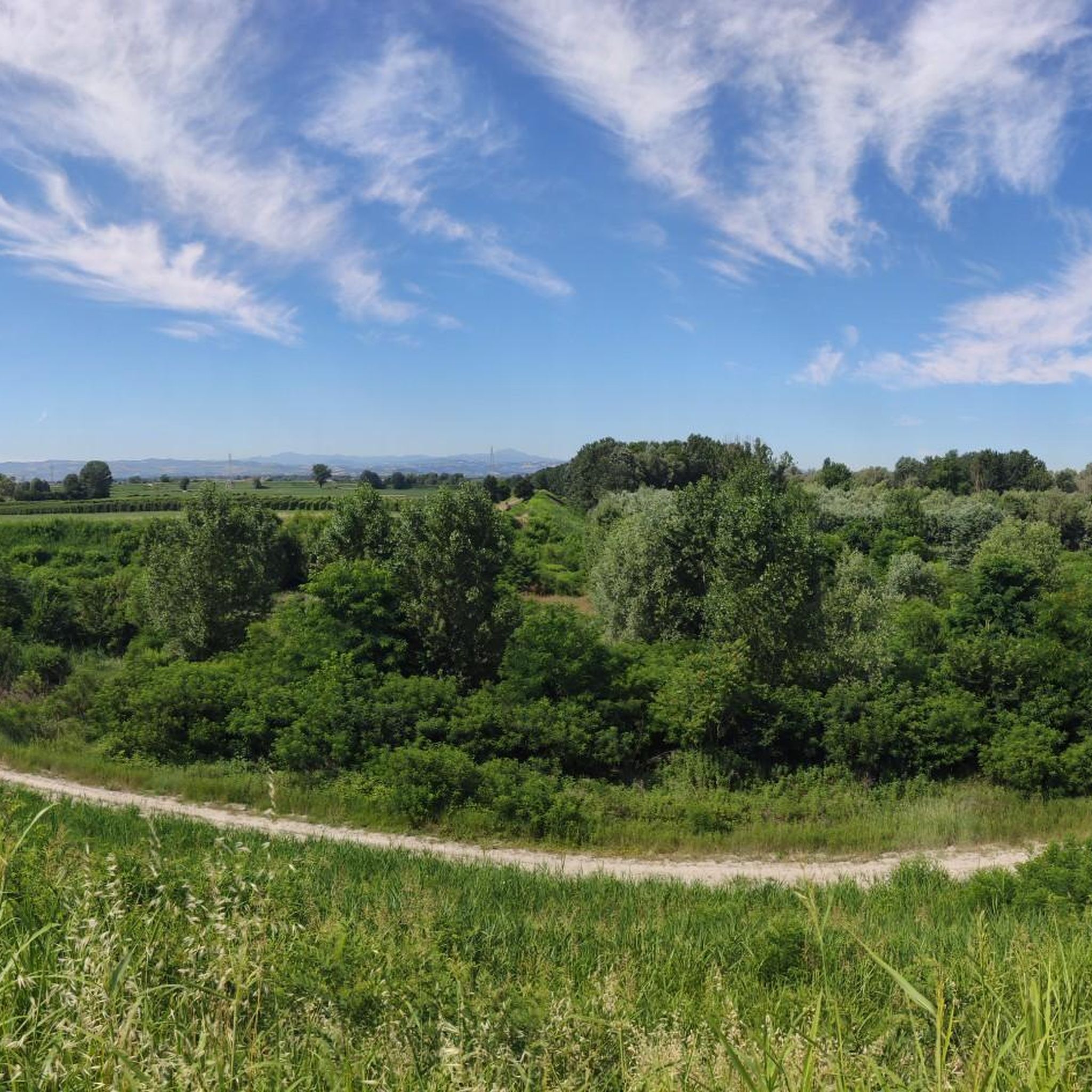
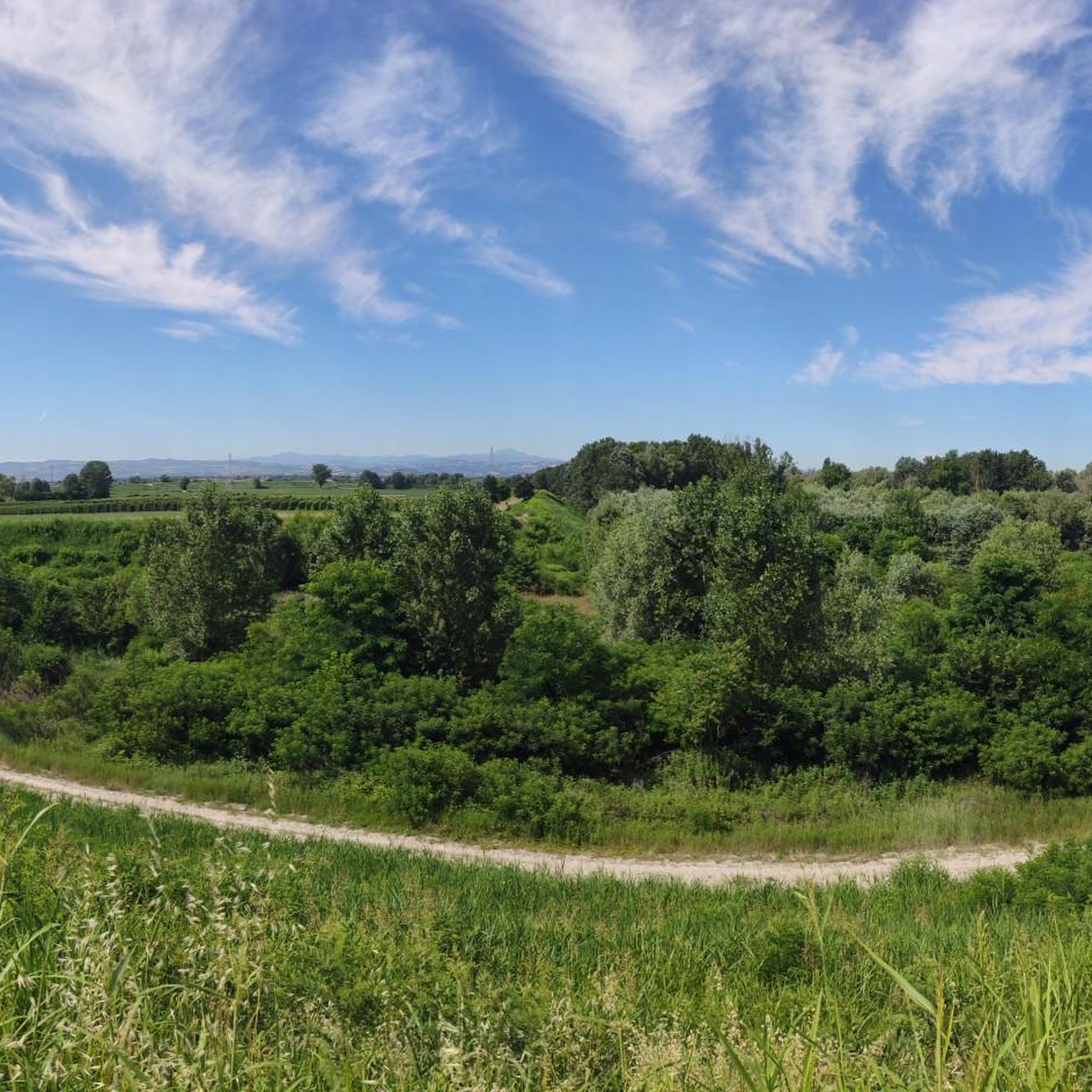
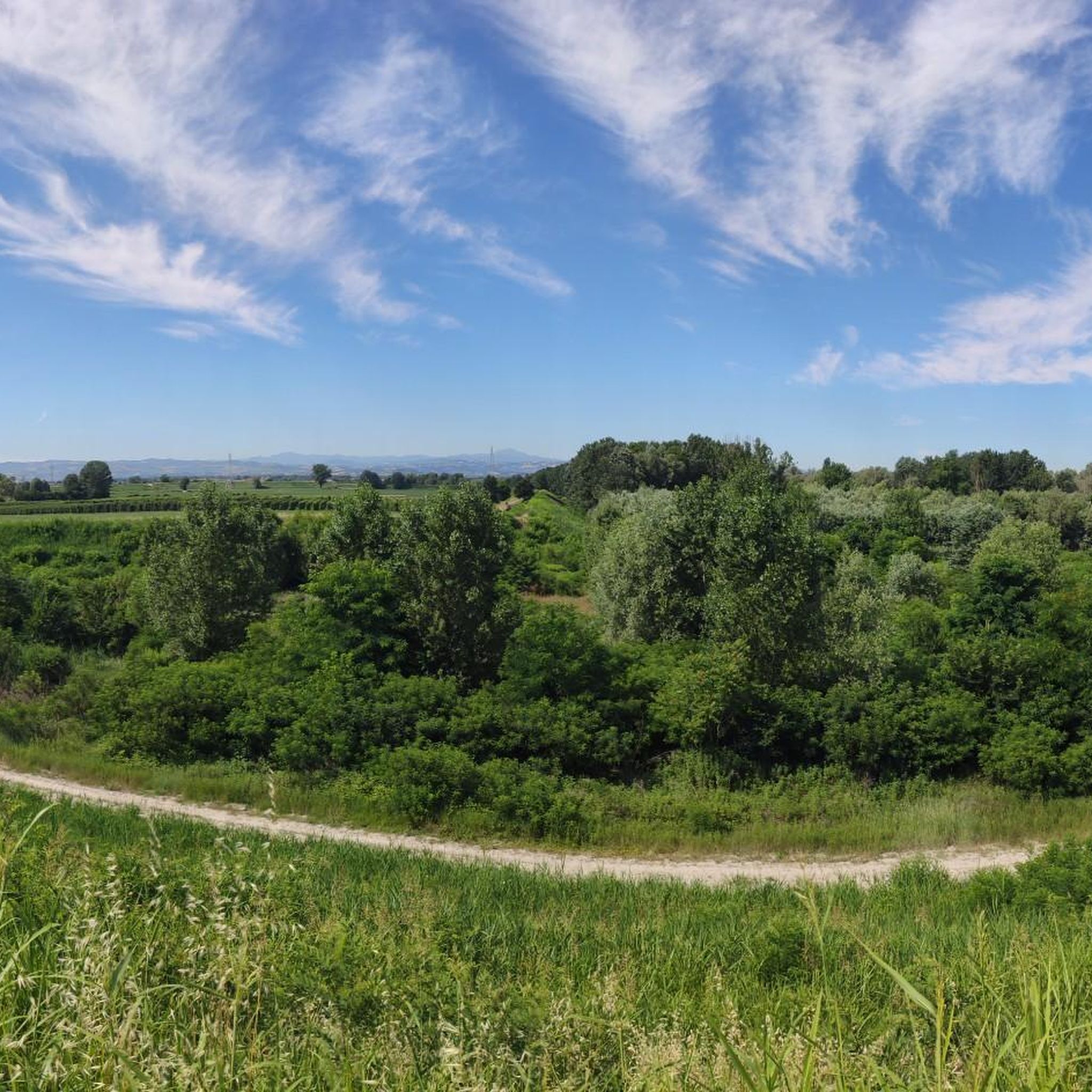


Tips from the Community

panorama both underfoot, above the head, to the left and to the right
1
0
For crossing the Panaro river
1
0

Beautiful route created on the banks of the Panaro river, in the San Damaso area of Modena.
0
0

pleasant walk, without elevation gain
0
0

Lush countryside and marshy habitats around the Panaro expansion basins. It can be easily reached via the asphalt path that runs above the embankment
0
0


original metal structure, easy to cross. Pay attention only when wet because it becomes slippery.
0
0
Frequently Asked Questions
How many hiking trails are available in Casse Di Espansione Fiume Panaro?
There are over 220 hiking routes in Casse Di Espansione Fiume Panaro, offering a wide range of options for different skill levels. This includes more than 100 easy routes, over 110 moderate routes, and a few more challenging trails.
Are there easy hiking trails suitable for beginners in Casse Di Espansione Fiume Panaro?
Yes, the region offers a good selection of easy trails perfect for beginners. For instance, the Iron Bridge over the Panaro – Lakes of Sant'Anna loop from Fornacetta is an easy 2.3 km (1.4 miles) route that takes about 40 minutes to complete, offering a gentle introduction to the area's riverine landscape.
Can I find family-friendly hiking options in this area?
Many of the trails in Casse Di Espansione Fiume Panaro are relatively flat and follow the riverbanks, making them suitable for families. The easy routes, such as the one around the Lakes of Sant'Anna, are particularly good for walks with children. These paths often provide open spaces and views of the water.
Are dogs allowed on the trails in Casse Di Espansione Fiume Panaro?
Generally, dogs are welcome on the hiking trails in Casse Di Espansione Fiume Panaro. However, it's always recommended to keep them on a leash, especially near wildlife or other hikers, and to clean up after them. The open nature of the floodplains provides good space for walks with your canine companion.
What kind of landscape can I expect while hiking here?
The landscape in Casse Di Espansione Fiume Panaro is primarily defined by the Panaro River and its floodplains. You'll encounter a relatively flat to gently undulating terrain, characterized by riverbanks, artificial dams, and small lakes. It's a unique mix of natural riverine environment and engineered basins designed for flood control.
Are there any circular hiking routes in Casse Di Espansione Fiume Panaro?
Yes, there are several circular routes available. A popular option is the Panaro River Bridge – Lakes of Sant'Anna loop from Sant'Anna, which is a moderate 11.3 km (7.0 miles) path. Another good choice is the Lakes of Sant'Anna – Iron Bridge over the Panaro loop from Gramignone, an easy 2.3 km (1.4 miles) loop.
What are some interesting sights or landmarks to look out for on the trails?
Along the trails, you can explore several points of interest related to the river and its management. Notable sights include the Panaro River Bridge, the extensive Panaro River Flood Basins, and the serene Lakes of Sant'Anna. These features highlight the area's unique hydrological landscape.
What do other hikers say about the trails in Casse Di Espansione Fiume Panaro?
The trails in Casse Di Espansione Fiume Panaro are highly rated by the komoot community, with an average score of 4.4 stars from over 300 reviews. Hikers often praise the peaceful river views, the well-maintained paths, and the opportunity to experience a unique natural and engineered landscape.
Is there parking available near the trailheads?
Parking is generally available at various access points along the Casse Di Espansione Fiume Panaro. Many of the routes start from small towns or villages adjacent to the river, where you can often find public parking areas. It's advisable to check specific starting points for the most convenient parking options.
What is the best time of year to go hiking in Casse Di Espansione Fiume Panaro?
Spring and autumn are generally the best times for hiking in Casse Di Espansione Fiume Panaro. During these seasons, the weather is mild, and the natural scenery along the river is particularly pleasant. Summer can be warm, but the open nature of the floodplains can offer refreshing breezes. Winter hiking is also possible, though some paths might be muddy after rain or snow.
Are there opportunities for wildlife spotting?
Yes, the riverine environment of Casse Di Espansione Fiume Panaro provides habitats for various wildlife. You might spot different species of birds, especially waterfowl around the lakes and riverbanks. Keep an eye out for small mammals and insects that thrive in this wetland-like ecosystem.
What should I wear for hiking in Casse Di Espansione Fiume Panaro, especially in summer?
In summer, lightweight, breathable clothing is recommended, along with a hat and sunscreen, as many trails are exposed. Comfortable walking shoes are essential. During spring and autumn, layers are advisable, and a light waterproof jacket can be useful. For all seasons, bringing enough water is crucial, as amenities might not be directly on the trails.
Are there any accessible trails for people with limited mobility?
While specific 'accessible' trails are not explicitly designated, many of the paths along the riverbanks are relatively flat and wide, making them potentially suitable for individuals with limited mobility or those using strollers. However, surfaces can vary, so it's best to check the specific route details for ground conditions before heading out.
Most popular routes in Casse Di Espansione Fiume Panaro
Most popular attractions in Casse Di Espansione Fiume Panaro

Get inspired with the komoot mobile app


Explore more
Browse the best Hikes in other regions.
