The best MTB trails in Area Naturale Protetta Di Interesse Locale Valle Del Lato
4.3
(1750)
6,551
riders
222
rides
Mountain bike trails in Area Naturale Protetta Di Interesse Locale Valle Del Lato traverse a diverse landscape characterized by extensive wooded terrain, including chestnut, pine, holm oak, and cypress forests. The area features the scenic Lato stream valley, which offers varied riparian environments. Mountainous and hilly terrain provides significant elevation changes and rugged sections, ideal for challenging mountain biking routes. This protected area offers a network of trails suitable for exploring its natural features.
Best mountain bike trails in Area…
Last updated: November 13, 2026
4.9
(14)
85
riders
32.9km
03:22
1,000m
1,000m
Hard mountain bike ride. Very good fitness required.
4.5
(4)
25
riders
15.9km
01:35
520m
520m
Moderate mountain bike ride. Good fitness required.

13
riders
12.8km
01:24
470m
470m
Hard mountain bike ride. Good fitness required. Advanced riding skills necessary. Some portions of the route may require you to push your bike.
4.0
(1)
11
riders
25.6km
02:24
760m
760m
Moderate mountain bike ride. Good fitness required.
3
riders
11.2km
00:50
250m
250m
Easy mountain bike ride.
Get access to more routes and recommendations from other explorers.
Already have an account?
Our route recommendations are based on thousands of hikes, rides, and runs completed by other people on komoot.
Start today with a free account
Your next adventure awaits.
Popular around Area Naturale Protetta Di Interesse Locale Valle Del Lato
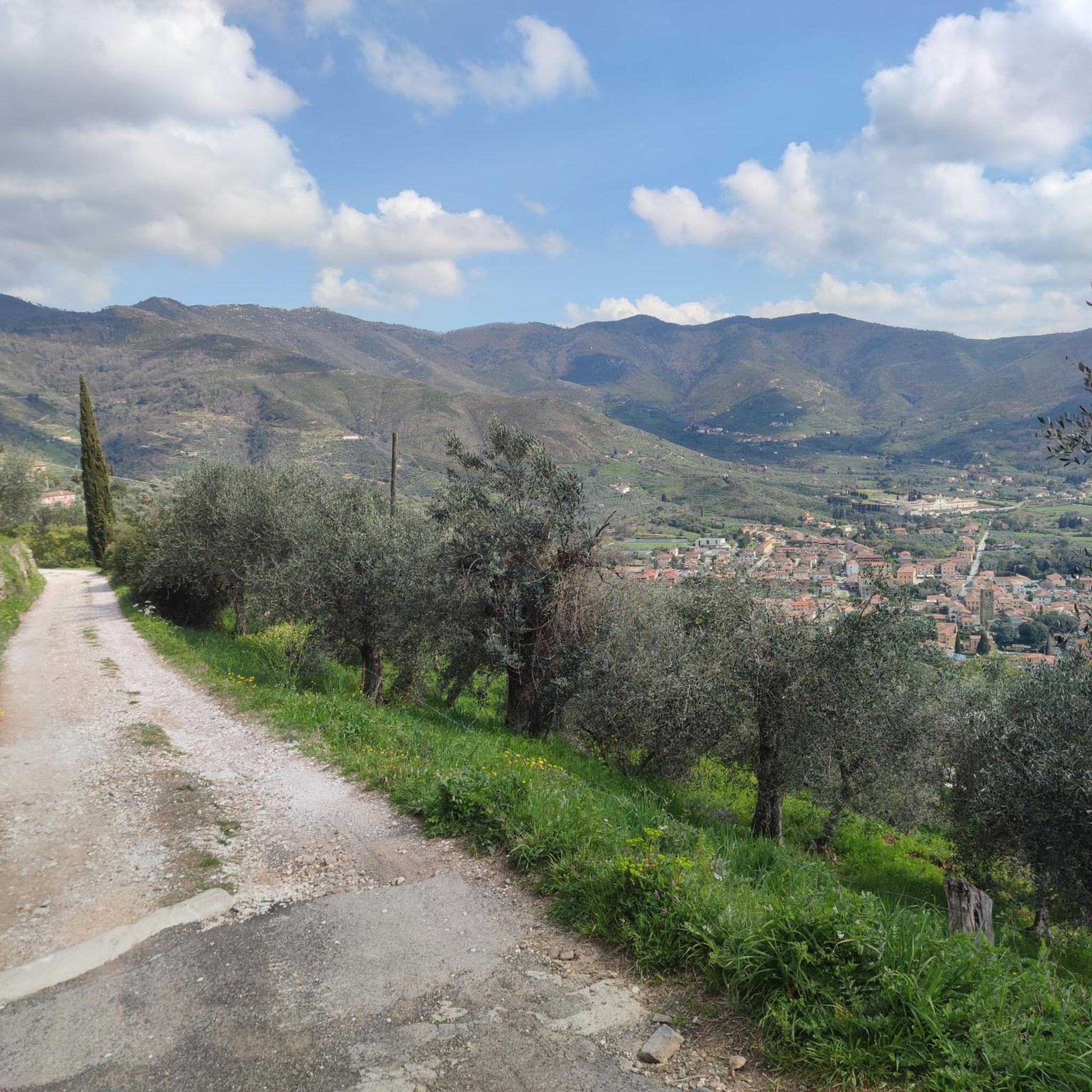
Hiking in Area Naturale Protetta Di Interesse Locale Valle Del Lato
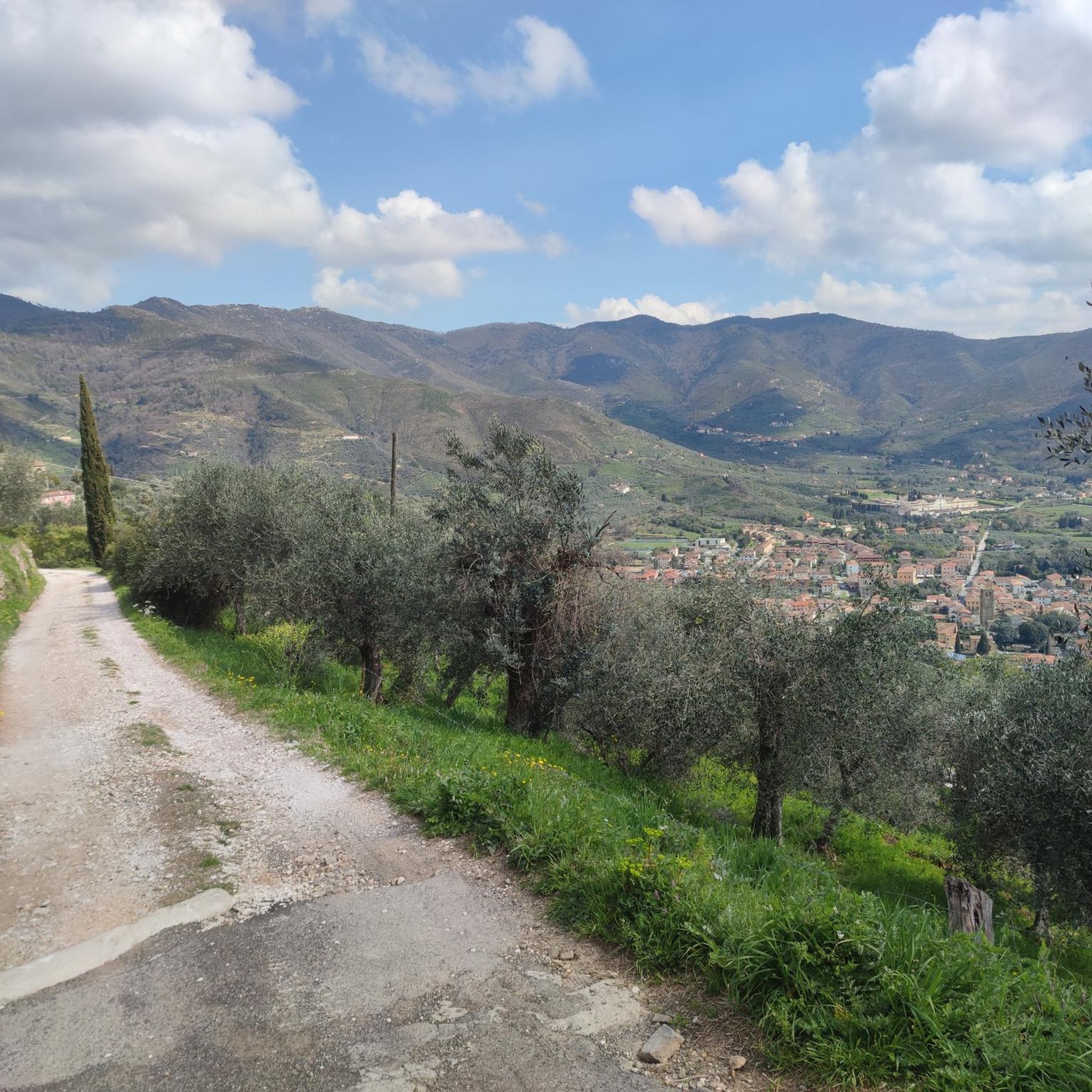
Road Cycling Routes in Area Naturale Protetta Di Interesse Locale Valle Del Lato
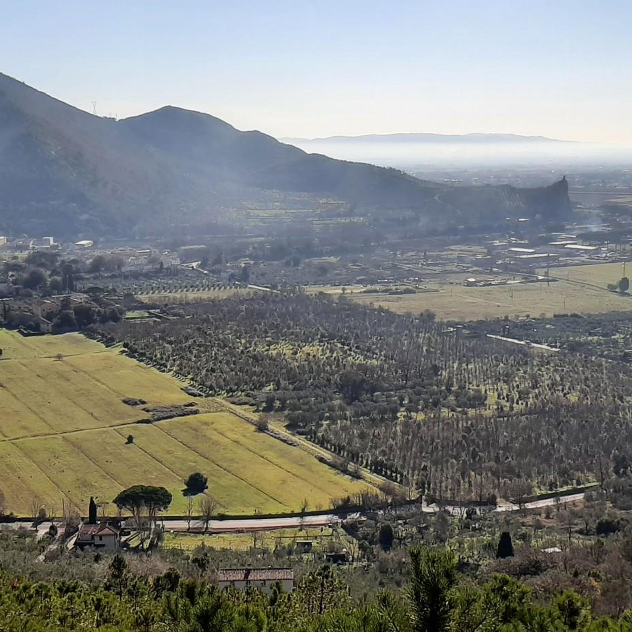
Running Trails in Area Naturale Protetta Di Interesse Locale Valle Del Lato
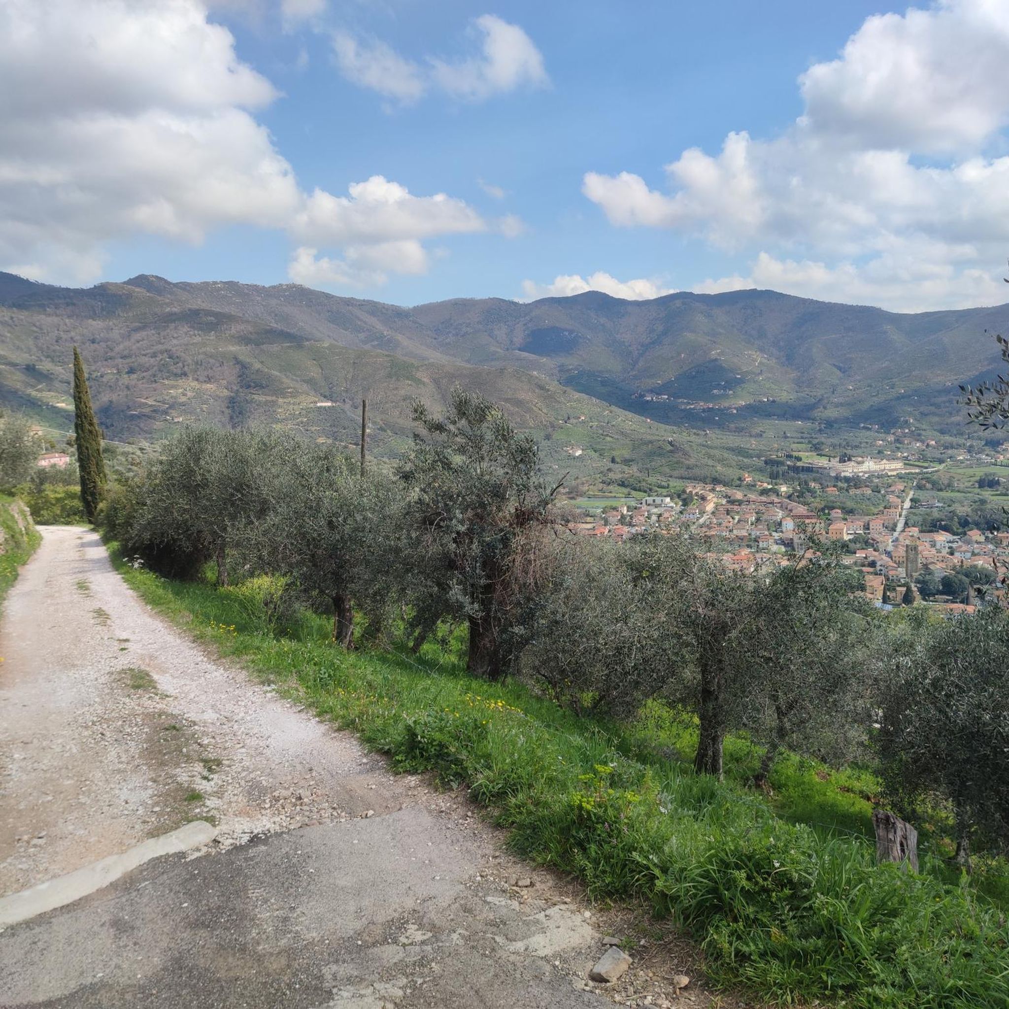
Cycling in Area Naturale Protetta Di Interesse Locale Valle Del Lato
Gravel biking in Area Naturale Protetta Di Interesse Locale Valle Del Lato
Tips from the Community

The Certosa di Calci (also known as Certosa di Pisa or di Val Graziosa) is one of the most extraordinary historical and architectural complexes in Tuscany, located about 10 kilometers from Pisa, in the municipality of Calci. This ancient 14th-century Carthusian monastery, profoundly renovated in Baroque style in the 17th and 18th centuries, amazes with its enormous spaces, the elegance of its cloisters, and the richness of its frescoes.
0
0

Beautiful panoramic point... it's a shame whoever bought the wart thought it was a good idea to close it 😡
0
0
Best way to get to the mouth of the river
0
0

The Rocca della Verruca was an important site in the defense system of the Pisan Republic, so much so that it was called "the eye of the Pisans" because much of the territory could be controlled from up there. If a village was attacked, it would signal its request for help by waving flags, lighting fires, and ringing bells. These signals were repeated until they were seen by the Verruca, who would then repeat them, alerting Pisa.
0
0
Important crossroads for climbing many trails
0
0
Beautiful, I often go there with my daughter. Anyone who comes to Pisa must absolutely visit it.
0
0
Excellent starting point for climbing towards Monte Serra.
1
0

From Agnano we continue on the asphalt road "Via delle Sorgenti" to the end of the route and arrive in Caprona at approximately 16:00.
1
0
Frequently Asked Questions
How many mountain bike trails are available in Area Naturale Protetta Di Interesse Locale Valle Del Lato?
There are over 240 mountain bike trails in Area Naturale Protetta Di Interesse Locale Valle Del Lato. These routes offer a range of difficulties, with 57 easy, 128 moderate, and 58 difficult options to explore the diverse landscapes.
What kind of terrain will I encounter on the mountain bike trails?
You can expect a diverse landscape characterized by extensive wooded terrain, including chestnut, pine, holm oak, and cypress forests. The area also features the scenic Lato stream valley, offering varied riparian environments. Mountainous and hilly terrain provides significant elevation changes and rugged sections, making for engaging rides.
Are there any family-friendly or easy mountain bike trails?
Yes, there are 57 easy mountain bike trails in the area, many of which are suitable for families. These routes often traverse less challenging forest paths, allowing for a more relaxed experience amidst the natural beauty of the protected area.
What are some notable natural features or landmarks I can see while mountain biking?
The area is rich in natural features. You'll ride through diverse forests, encounter the picturesque Lato stream valley, and experience the mountainous arc overlooking Calci. For specific points of interest, consider routes that pass by the Campo di Croce Trail Junction or offer views from the Monte Verruchino Summit.
Are there any loop trails for mountain biking in the region?
Yes, many of the mountain bike trails in Area Naturale Protetta Di Interesse Locale Valle Del Lato are designed as loops, allowing you to start and finish at the same point. An example is the Piazzale Milite Ignoto loop from Calci, a moderate 20.3 km route, or the more challenging Ascent to the Foce di Calci – Foce di Calci loop from Calci.
What do other mountain bikers say about the trails in Area Naturale Protetta Di Interesse Locale Valle Del Lato?
The mountain bike trails in Area Naturale Protetta Di Interesse Locale Valle Del Lato are highly rated by the komoot community, with an average score of 4.3 stars from over 1600 reviews. Riders often praise the diverse wooded areas, the varied terrain, and the engaging challenges offered by the routes.
Are there any specific bike parks or dedicated mountain biking trails?
Yes, within the protected area, you can find dedicated trails like the Picabeba Enduro Trail, the Santi XC Trail, and the Enduro Poppo Trail. These offer specific experiences for enduro and cross-country enthusiasts.
What is the best time of year for mountain biking in this region?
The diverse forested terrain, including Mediterranean scrub, suggests pleasant conditions during spring and autumn when temperatures are milder. Summer can be warm, but the extensive wooded areas provide shade. Winter might offer cooler, potentially wetter conditions, but the trails remain accessible.
Are dogs allowed on the mountain bike trails?
While the region is a protected natural area, specific regulations regarding dogs on mountain bike trails are not explicitly detailed. It's generally advisable to keep dogs on a leash to protect local wildlife and ensure a safe experience for all trail users.
Where can I find parking for mountain biking in Area Naturale Protetta Di Interesse Locale Valle Del Lato?
The municipality of Calci has established an educational water path starting from the public parking in Castelmaggiore, which serves as a good starting point for exploring the area. Many routes also begin near Calci, suggesting parking availability in or around the town.
How long do mountain bike trails typically take to complete?
Trail durations vary significantly based on distance and difficulty. For example, a moderate route like the Grotti Enduro/Downhill Trail loop from Calci, which is 14.1 km, typically takes about 1 hour 29 minutes. More challenging routes, such as the 19.5 km Campo di Croce Trail Junction – Ascent to the Foce di Calci loop from Calci, can take around 2 hours 27 minutes.
Are there any amenities like cafes or restaurants near the mountain bike trails?
The protected area is located near the municipality of Calci, which offers various amenities. You can find cafes, restaurants, and accommodation options in Calci, providing convenient stops before or after your ride.
Most popular routes in Area Naturale Protetta Di Interesse Locale Valle Del Lato
Most popular attractions in Area Naturale Protetta Di Interesse Locale Valle Del Lato

Get inspired with the komoot mobile app


Explore more
Browse the best MTB trails in other regions.
