Parc Naturel Régional Du Mont-Ventoux
Parc Naturel Régional Du Mont-Ventoux
Top 16 Mountain Passes in Parc Naturel Régional Du Mont-Ventoux
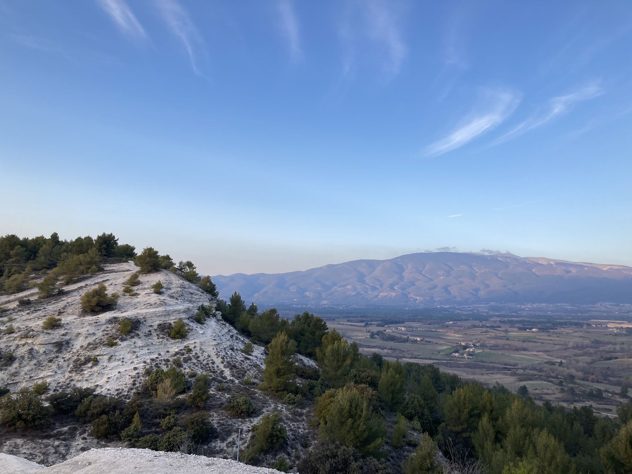
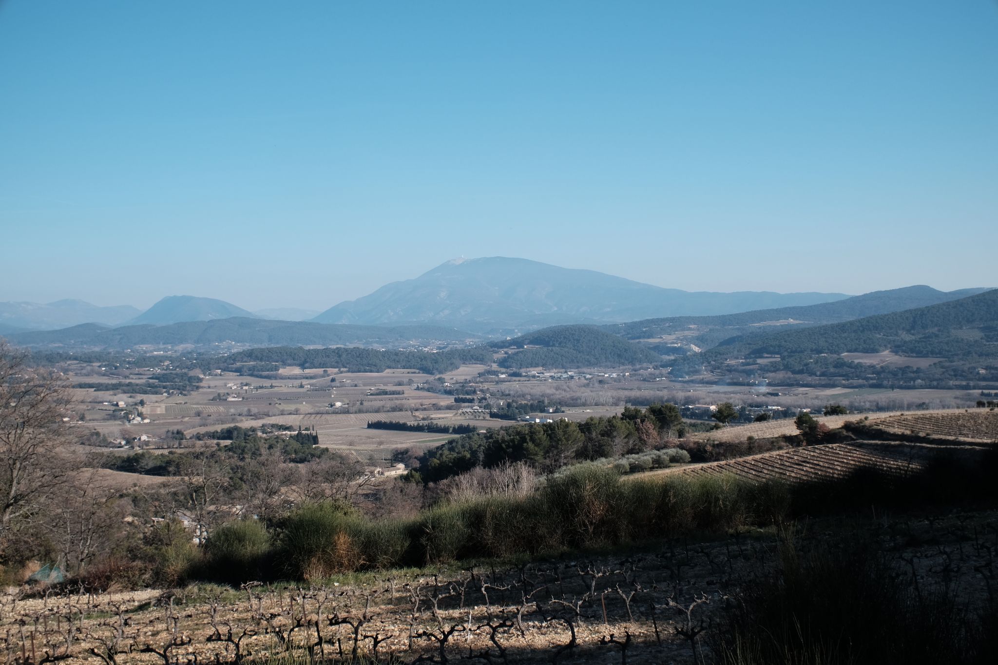
Best mountain passes in Parc Naturel Régional Du Mont-Ventoux are primarily found on the iconic Mont Ventoux, known as the "Giant of Provence." This region features diverse landscapes, from Mediterranean vegetation at its base to a barren, lunar-like summit at 1,910 meters. The area is a UNESCO Biosphere Reserve, offering challenging ascents and panoramic views across Provence. Its unique terrain and significant elevation gains attract cyclists and outdoor enthusiasts.
Best mountain passes in Parc Naturel Régional Du Mont-Ventoux
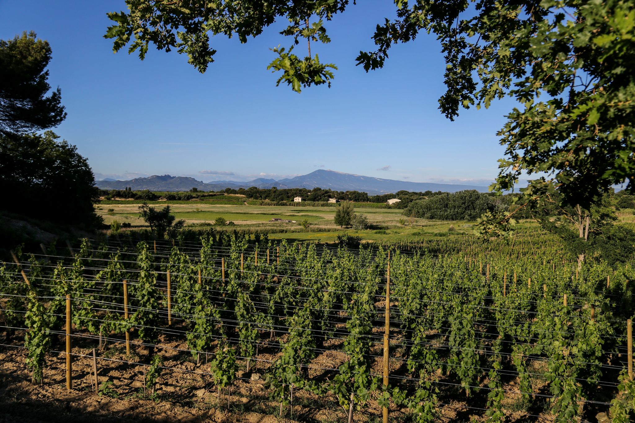
- The most popular mountain passes is Col de la Madeleine, a cycle way that offers superb landscapes of surrounding vineyards. It serves as a warm-up before the Mont Ventoux ascent and connects Bédoin and Malaucène.
- Another must-see spot is Pass of Storms, a mountain pass. This location is one of the final bends of the Mont Ventoux ascent, providing a magnificent view and proximity to the memorial dedicated to cyclist Tom Simpson.
- Visitors also love Madeleine Pass (Mont Ventoux), a mountain pass with light climbs and short descents. The road surface is good, and it offers numerous spots with expansive views.
- Parc Naturel Régional Du Mont-Ventoux is known for challenging climbs, scenic cycle routes, and intermediate mountain passes. The region offers a variety of mountain passes to explore, ranging from forested sections to exposed, high-altitude terrain.
- The mountain passes in Parc Naturel Régional Du Mont-Ventoux are appreciated by the komoot community, with more than 2,200 upvotes and over 1,300 photos shared by visitors.
Last updated: October 13, 2026
Mont Ventoux summit
Highlight • Summit
On this square are the Belvedere of Provence which offers views of the Albion plateau to the Mediterranean and the Belvedere of the Alps which opens onto the northern part. On a clear day, you can clearly see the department of Drôme, the Pre-Alps and the Alps.
By climbing slightly to the base of the antenna, you will be able to read below written on the ground, in large figures, the new official measurement of the Giant of Provence by the IGN: 1,910 meters.
Translated by Google •
Tip by

Col de la Madeleine
Highlight • Cycleway
Translated by Google •
Tip by

Sign up now to discover places like this
Get recommendations on the best single tracks, peaks, & plenty of other exciting outdoor places.
Pass of Storms
Highlight • Mountain Pass
Translated by Google •
Tip by
Madeleine Pass (Mont Ventoux)
Highlight (Segment) • Mountain Pass
- Good road surface and lots of spots with a great view
Tip by

Mont Ventoux Ascent from Sault
Highlight (Segment) • Climb
From Sault to the Reynard Chalet, the climb is 17.4 kilometers with an elevation gain of 705 meters. The average gradient is 4%.
If you're going to attempt to climb all three sides of Mont Ventoux in one day, then this is the slope to tackle last.
Translated by Google •
Tip by

Sign up for free to discover even more mountain passes in Parc Naturel Régional Du Mont-Ventoux.
Already have an account?
Start today with a free account
Your next adventure awaits.
Popular around Parc Naturel Régional Du Mont-Ventoux
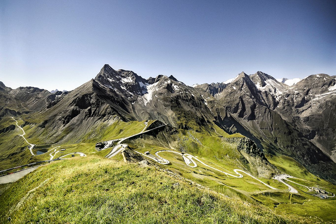
Three Peaks Bike Race — Vienna to Nice
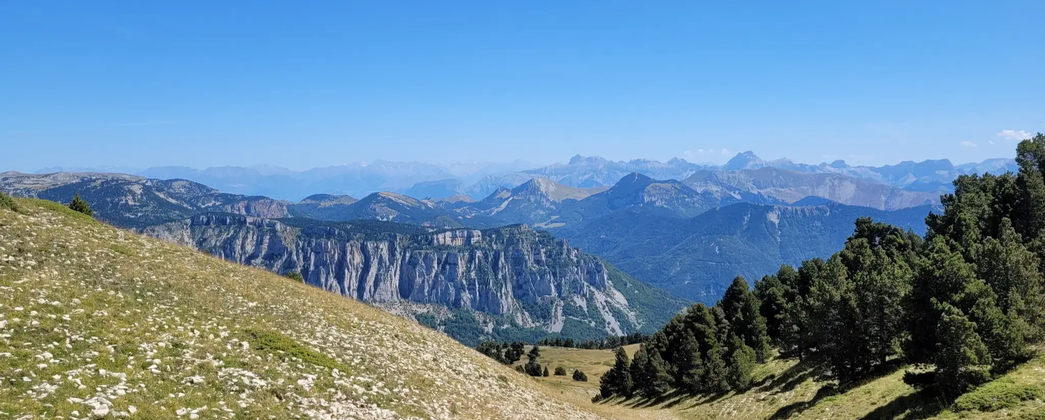
GR 91 - From the Vercors High Plateaux to Provence
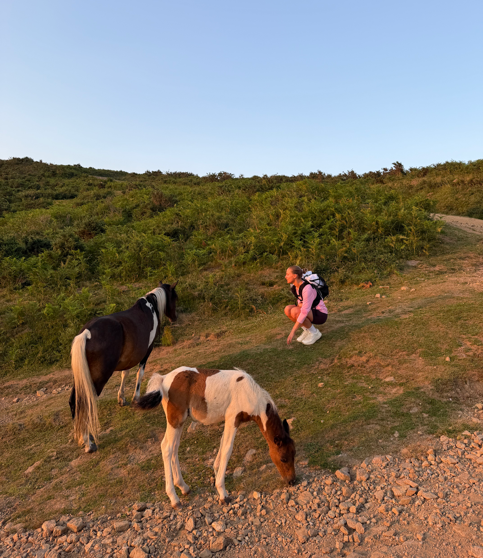
France’s Best Sunrise & Sunset Hikes
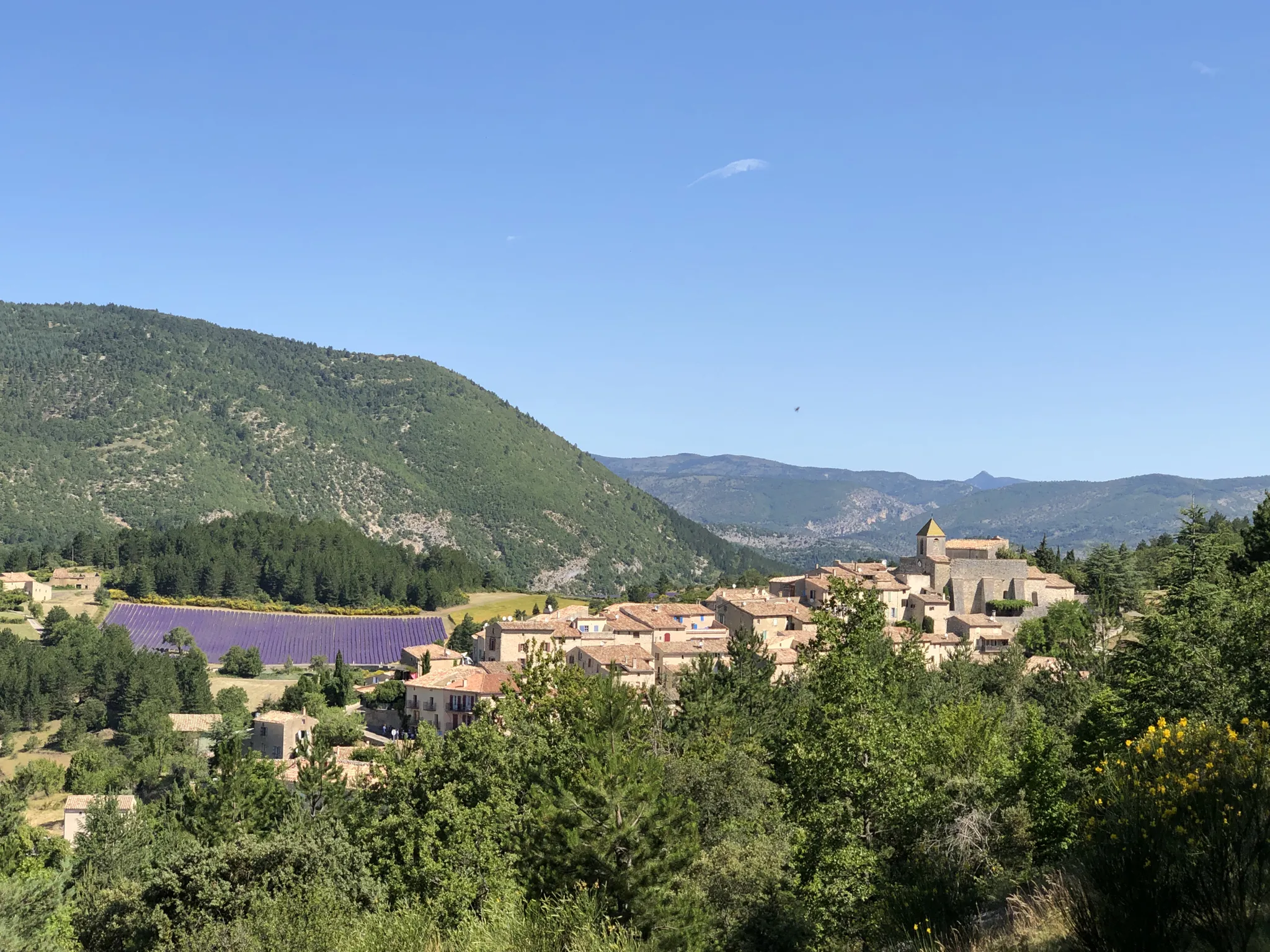
Exceptional natural landscapes — La Grande Traversée de Vaucluse à VTT
The giant of Provence – Mont Ventoux trail running resort
Cycling and wine – Côtes-du-Rhône tour
Adventure from north to south – Grande Traversée de Vaucluse
The French Circuit – Golden Trail National Series
From the Dentelles de Montmirail to the Ventoux - seven hikes in Vaucluse
Best gravel routes from Bédoin — Cycling Mont Ventoux
Other adventures in Parc Naturel Régional Du Mont-Ventoux


Tips from the Community

The view from the top is sublime.
4
0

A superb climb on smooth asphalt, even if it's not the most popular climb. Therefore, traffic is very light, which I personally find more important. Up to Chalet Reynard, you're surrounded by trees. Views are rare. Overall, the climb is very pleasant and suitable for those who want to take it easy.
3
0

Very nice route, not too steep
5
0
Beautiful pass with wonderful landscapes of the surrounding vineyards
5
1

Nice first mountain stopover from Bedoin towards Malaucene
5
0

Beautiful, not too difficult col in the Ventoux region. Very beautiful coniferous forests and Provence atmosphere.
2
1
The giant of Provence is incredibly full of character
6
0
Frequently Asked Questions
What makes the mountain passes in Parc Naturel Régional Du Mont-Ventoux unique?
The mountain passes in this region are primarily the iconic ascents of Mont Ventoux, often called the "Giant of Provence." They are renowned for their dramatic landscapes, transitioning from lush Mediterranean vegetation at the base to a barren, lunar-like limestone summit. The area is a UNESCO Biosphere Reserve, offering challenging climbs, breathtaking panoramic views, and a unique micro-climate.
Which ascent of Mont Ventoux is considered the most challenging for cyclists?
The ascent from Bédoin is widely regarded as the most challenging and famous route. This 21.8 km climb involves a significant elevation gain of 1,617 meters with an average gradient of 7.43%, with the final 16 km averaging a relentless 8.9%. It's frequently featured in the Tour de France, making it a pilgrimage for many cyclists.
Are there easier options for cycling Mont Ventoux?
Yes, the ascent from Sault is the longest but gentlest of the three main routes. Covering 26 km with an elevation gain of 1,210 meters and an average gradient of 4.4%, it's a more accessible option for less experienced cyclists or those seeking a less strenuous climb. The route winds through picturesque lavender fields before joining the Bédoin route at Chalet Reynard for the final 6 km.
What kind of views can I expect from the summit of Mont Ventoux?
From the Mont Ventoux summit, you can expect breathtaking panoramic views. On a clear day, you can see across the Albion plateau to the Mediterranean Sea and north towards the Drôme department, the Pre-Alps, and the Alps. The distinctive barren, rocky landscape near the summit, often described as 'lunar,' offers a truly unique visual experience.
What is the "Pass of Storms" and why is it significant?
The Pass of Storms (Col des Tempêtes) is a notable point near the summit of Mont Ventoux, known for its strong and often violent Mistral winds. It's one of the final bends of the Mont Ventoux ascent, offering magnificent views. It is also significant as it is very close to the memorial dedicated to British cyclist Tom Simpson, who tragically died on the mountain during the 1967 Tour de France.
What outdoor activities are available near the Mont Ventoux passes besides cycling?
Beyond cycling, the region offers a variety of outdoor activities. You can explore numerous mountain hikes, such as the "Pass of Storms – Grand panorama loop from Mont Ventoux" or the "Summit of Mont Ventoux loop from Mont Ventoux." There are also challenging running trails like "Grand Ventoux" and gravel biking routes, including the "Mont Ventoux summit – Mont Ventoux loop from Malaucène." For more details on these activities, visit the Mountain Hikes, Running Trails, and Gravel Biking guides for the region.
What is the best time of year to visit the mountain passes of Mont Ventoux?
The best time to visit is generally from late spring to early autumn (May to October). During this period, the weather is more stable, and the roads to the summit are typically open. Spring offers blooming lavender fields on the Sault ascent, while autumn provides pleasant temperatures and vibrant foliage. Be aware that strong winds (Mistral) can occur year-round, potentially leading to road closures, especially near the summit.
Are there any other notable passes or cycling routes in the area?
Yes, the Col de la Madeleine is a popular cycle way that offers superb landscapes of surrounding vineyards. It serves as an excellent warm-up before tackling Mont Ventoux and connects Bédoin and Malaucène. Another point of interest is the Madeleine Pass (Mont Ventoux), known for its light climbs, short descents, and good road surface with expansive views.
What are the typical weather conditions on Mont Ventoux, especially near the summit?
Mont Ventoux is famous for its powerful and often violent winds, known as the Mistral, which can reach speeds as high as 320 km/h. Near the summit, the environment can be polar-like, even when it's warm at the base. It's crucial to be prepared for significant temperature drops and strong winds, especially in the exposed upper sections. Always bring extra layers, even in summer.
What historical significance do the Mont Ventoux ascents hold?
The ascents of Mont Ventoux, particularly the Bédoin route, hold immense historical significance in professional cycling, being a frequent and legendary stage in the Tour de France. The mountain is also tragically famous for the death of British cyclist Tom Simpson in 1967, commemorated by a memorial near the summit, making it a site of pilgrimage for cycling enthusiasts.
Is the Malaucène ascent of Mont Ventoux different from the Bédoin route?
The Malaucène ascent is an equally difficult alternative to the Bédoin side, climbing 1,570 meters over 21.5 km. While similar in challenge, it is generally better sheltered from the wind in its lower sections, which can be an advantage on windy days. This route offers spectacular views of the Rhône Valley and passes through the Mont Serein ski resort, showcasing a different perspective of the mountain's diverse environments.
Most popular routes in Parc Naturel Régional Du Mont-Ventoux
Most popular attractions in Parc Naturel Régional Du Mont-Ventoux

Get inspired with the komoot mobile app


Explore more
See even more epic mountain passes by checking out these guides in Parc Naturel Régional Du Mont-Ventoux:
