The best road cycling routes in Zone C
4.3
(304)
7,197
riders
195
rides
Road cycling in Zone C, located around Béziers, features a landscape characterized by its proximity to the Mediterranean coast and a significant canal network. The region offers a mix of flat coastal paths and routes alongside the Canal du Midi, interspersed with gently rolling terrain further inland. This natural park environment provides varied surfaces suitable for different road cycling preferences, from leisurely rides to more challenging distances.
Best road cycling routes in Zone C
- The most popular road cycling route…
Last updated: November 10, 2026
4.0
(3)
113
riders
70.6km
03:02
560m
560m
Moderate road ride. Good fitness required. Mostly well-paved surfaces and easy to ride.
56
riders
56.5km
02:30
350m
350m
Moderate road ride. Good fitness required. Mostly well-paved surfaces and easy to ride.

30
riders
63.3km
02:46
570m
570m
Moderate road ride. Good fitness required. Mostly well-paved surfaces and easy to ride.
4.0
(2)
33
riders
48.9km
02:06
300m
300m
Moderate road ride. Good fitness required. Mostly well-paved surfaces and easy to ride.
16
riders
46.7km
01:59
310m
310m
Moderate road ride. Good fitness required. Mostly well-paved surfaces and easy to ride.
Get access to more routes and recommendations from other explorers.
Already have an account?
Our route recommendations are based on thousands of hikes, rides, and runs completed by other people on komoot.
Start today with a free account
Your next adventure awaits.

Tips from the Community

From the greenway, your gaze plunges onto the Thau pond and its immense checkerboard of shellfish farming tables. These regular alignments are the farming facilities where the lagoon's oysters and mussels are produced. Bouzigues holds a special place in this story: in 1925, Antoine Louis Tudesq and other Bouzigues oyster farmers developed the "Pyramid" technique, which contributed to the development of shellfish farming in the pond.
2
0
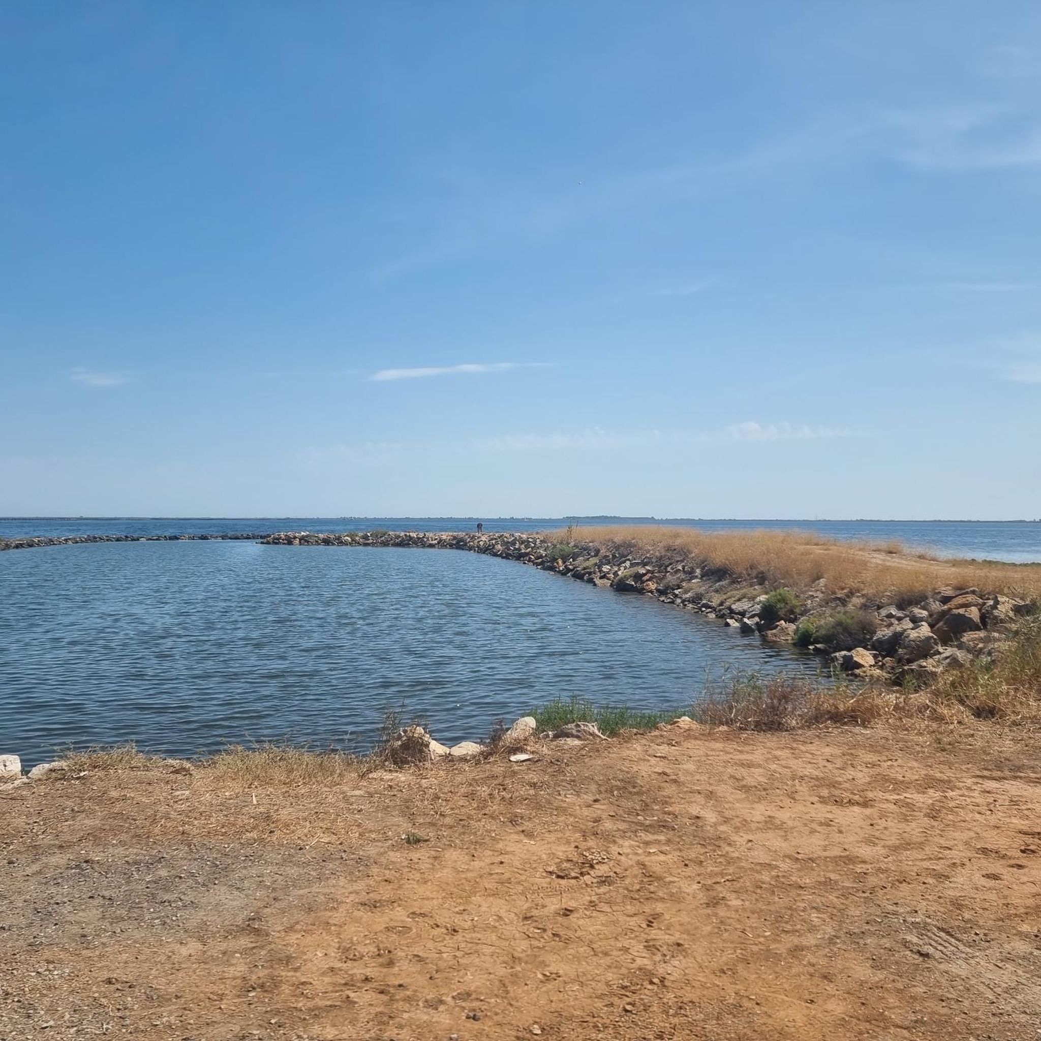
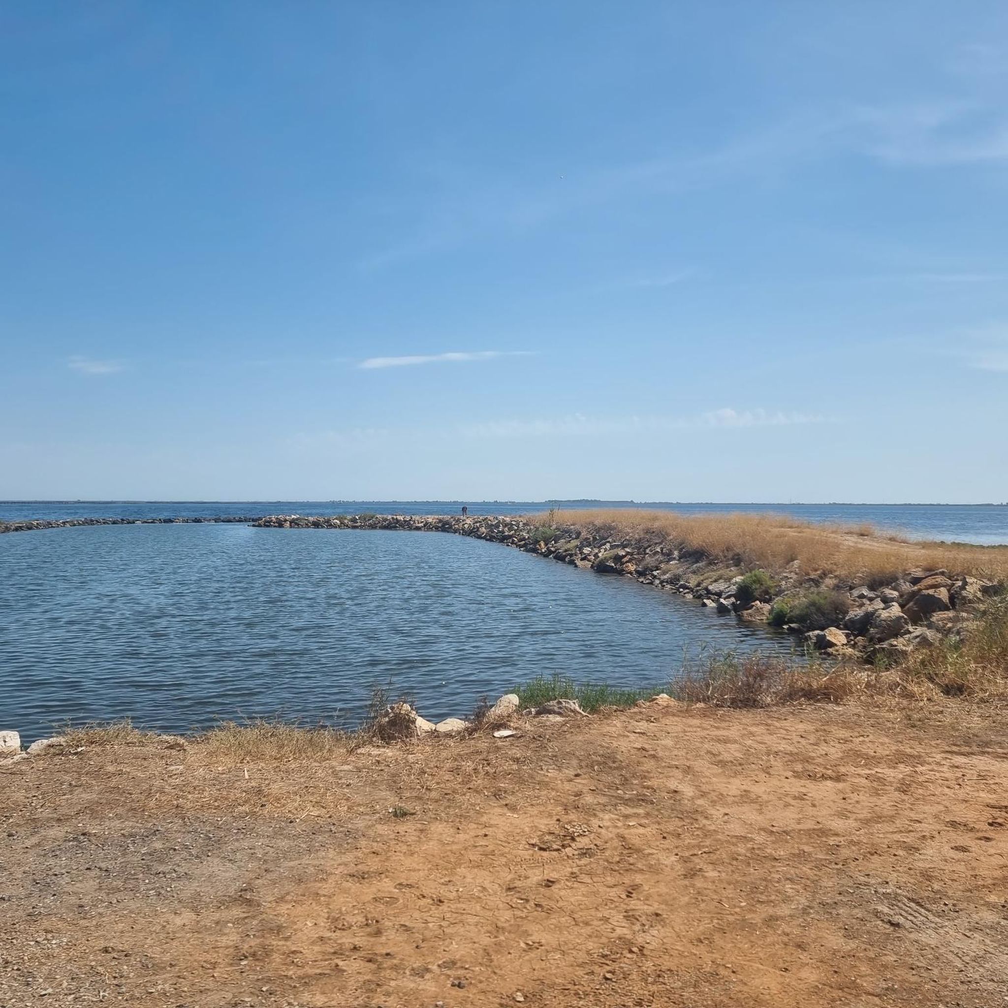
The greenway runs here on a narrow strip of land between the Étang de la Moulière to the north and the Crique de l’Angle to the south. The latter is a natural cove located at the eastern end of the Étang de Thau, where the fresh waters of the Vène meet the brackish waters of the lagoon. This wetland, classified Natura 2000, hosts numerous water birds in particular.
2
0
The view plunges over the Thau lagoon and its immense checkerboard of shellfish farms. These regular alignments are the breeding facilities where the oysters and mussels of the lagoon are produced. Bouzigues holds a special place in this history: in 1925, Antoine Louis Tudesq and other Bouzigues oyster farmers developed the "Pyramid" technique, which contributed to the development of shellfish farming in the lagoon. Thus, the panorama allows us to read the landscape differently: behind this vast expanse of water lies a real production area, shaped for over a century by the work of the "sea farmers".
3
0
From La Catonnière, the view plunges over the étang de Thau and its immense checkerboard of shellfish tables. These regular alignments are the breeding facilities where the lagoon's oysters and mussels are produced. Bouzigues holds a special place in this history: in 1925, Antoine Louis Tudesq and other Bouzigues oyster farmers developed the "Pyramid" technique, which contributed to the development of shellfish farming in the étang. The panorama thus allows us to read the landscape differently: behind this vast expanse of water lies a true production space, shaped for over a century by the work of the "sea peasants".
2
0
The greenway runs here on a narrow strip of land between the Étang de la Moulière and the Crique de l’Angle. To the south, the view opens up beyond the Crique de l’Angle over the Étang de Thau, then over Sète, dominated by the silhouette of Mont Saint-Clair (183 m).
3
0

This medieval village, which appeared in the 11th century, had a strategic position, perched above the Hérault valley. Even today, its castle, fortifications, and towers give it a military appearance.
1
0
Nézignan-L'Évêque has a long history marked by the passage of Celts, Phoenicians, Greeks, Romans, Visigoths, and Arabs. It was, however, in the Middle Ages that the village experienced its true development with the construction of a fortified castle in place of the ancient castrum. Despite the wars of religion, the village has endured through the centuries to the present day, as evidenced by its heritage.
1
0
A few steps from the Saint-Saturnin church, this small sector between the place du Quai and the rue Venel reveals a more intimate face of Tourbes! Narrow alleys, old facades, exposed stones bear witness to a habitat built over the centuries.
2
0
Frequently Asked Questions
What does 'Zone C' refer to in the context of these road cycling routes?
In this guide, 'Zone C' designates the region around Béziers, characterized by its Mediterranean coastline and extensive canal network. It offers a diverse landscape for road cycling, from flat coastal paths to routes alongside the Canal du Midi and gently rolling inland terrain.
How many road cycling routes are available in Zone C?
There are over 190 road cycling routes available in Zone C, catering to various skill levels and preferences.
What types of terrain can I expect when road cycling in Zone C?
You can expect a mix of terrain, including flat coastal paths, routes running alongside the historic Canal du Midi, and gently rolling hills further inland. This variety allows for both leisurely rides and more challenging distances.
Are there easy road cycling routes suitable for beginners in Zone C?
Yes, Zone C offers a good selection of easy routes. For instance, the Beach View – Pumptrack track loop from Dunes is an easy 24.0 km (14.9 mi) path that provides coastal views with a relatively flat profile. There are 32 easy routes in total.
Are there any longer or more challenging road cycling routes in Zone C?
Yes, for those seeking more challenge, Zone C has 37 difficult routes and 122 moderate routes. A moderate option is the Olivettes Dam – Saint-Thibéry Roman Bridge loop from Marseillan-Plage, which covers 103.6 km (64.4 mi) with significant elevation gain.
What do other road cyclists enjoy most about the routes in Zone C?
The routes in Zone C are highly rated by the komoot community, with an average score of 4.2 stars from over 270 reviews. Cyclists often praise the scenic views along the Canal du Midi and the Mediterranean coast, as well as the varied terrain suitable for different abilities.
Are there circular road cycling routes available in Zone C?
Many of the routes in Zone C are designed as loops, offering convenient circular journeys. Examples include the popular Canal du Midi – Grau du Rieu loop from Marseillan and the Canal du Midi – Fountain of the Belle Agathoise loop from Marseillan-Plage.
Can I find routes that combine coastal views with historical landmarks?
Absolutely. Routes like the Saint-Thibéry Roman Bridge – View of the Hérault loop from Marseillan-Plage offer a blend of scenic coastal areas and points of interest such as the historic Roman bridge.
What is the typical duration for road cycling routes in Zone C?
Route durations vary widely depending on distance and difficulty. Easy routes like the Beach View – Pumptrack track loop from Dunes can be completed in just over an hour, while longer, moderate routes such as the Olivettes Dam – Saint-Thibéry Roman Bridge loop from Marseillan-Plage can take several hours.
Is Zone C suitable for family-friendly road cycling?
Yes, the region's flat coastal paths and canal-side routes, particularly the easier ones, are well-suited for family cycling. These paths often provide a safe and enjoyable environment away from heavy traffic.
Are there any specific highlights or points of interest along the road cycling routes in Zone C?
While there are no specific highlights listed in the data, the routes frequently pass along the picturesque Canal du Midi and offer views of the Mediterranean coast. You'll also encounter charming towns and local architecture, such as the area around Marseillan and the historic Saint-Thibéry Roman Bridge.
What are the best seasons for road biking in Zone C?
Given its Mediterranean climate, spring and autumn generally offer the most pleasant conditions for road cycling in Zone C, with mild temperatures and less intense sun than the summer months. However, the region can be enjoyed year-round, with appropriate preparation for summer heat or occasional winter chill.
Most popular routes in Zone C

Get inspired with the komoot mobile app


Explore more
Browse the best Road cycling routes in other regions.
