The best cycling routes in Réserve Biologique Dirigée De Laurenti
4.8
(27)
1,720
riders
35
rides
Touring cycling routes in Réserve Biologique Dirigée De Laurenti traverse a landscape characterized by dense forests, deep valleys, and challenging mountain passes within the Ariège Pyrenees. This region, part of the Parc Naturel Régional des Pyrénées Ariégeoises, offers varied terrain for cyclists. Routes often feature significant elevation changes, winding through forested areas and past high-altitude lakes. The area provides a natural setting for demanding cycling experiences.
Best touring cycling routes in Réserve Biologique Dirigée De Laurenti
- The most popular touring…
Last updated: October 7, 2026
19
riders
101km
08:39
3,400m
3,400m
Hard bike ride. Very good fitness required. Mostly paved surfaces. Suitable for all skill levels.
32
riders
74.3km
05:19
1,460m
1,460m
Hard bike ride. Very good fitness required. Mostly paved surfaces. Suitable for all skill levels.

5.0
(1)
15
riders
56.4km
04:19
1,300m
1,300m
Hard bike ride. Very good fitness required. Mostly paved surfaces. Suitable for all skill levels.
10
riders
36.3km
02:55
550m
550m
Hard bike ride. Very good fitness required. Mostly paved surfaces. Suitable for all skill levels.
4.3
(6)
307
riders
52.9km
04:35
1,940m
1,940m
Hard bike ride. Very good fitness required. Mostly paved surfaces. Suitable for all skill levels.
Get access to more routes and recommendations from other explorers.
Already have an account?
Our route recommendations are based on thousands of hikes, rides, and runs completed by other people on komoot.
Start today with a free account
Your next adventure awaits.
Popular around Réserve Biologique Dirigée De Laurenti
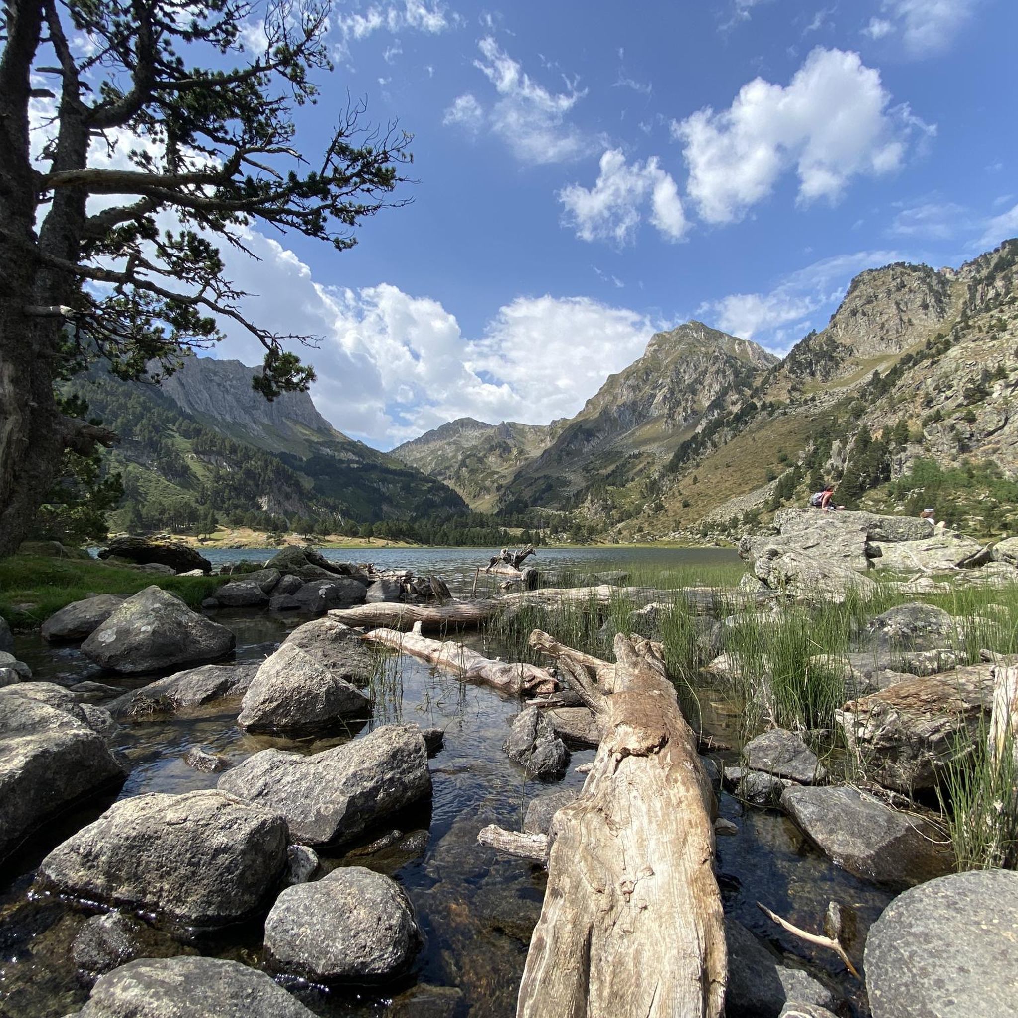
Hiking in Réserve Biologique Dirigée De Laurenti
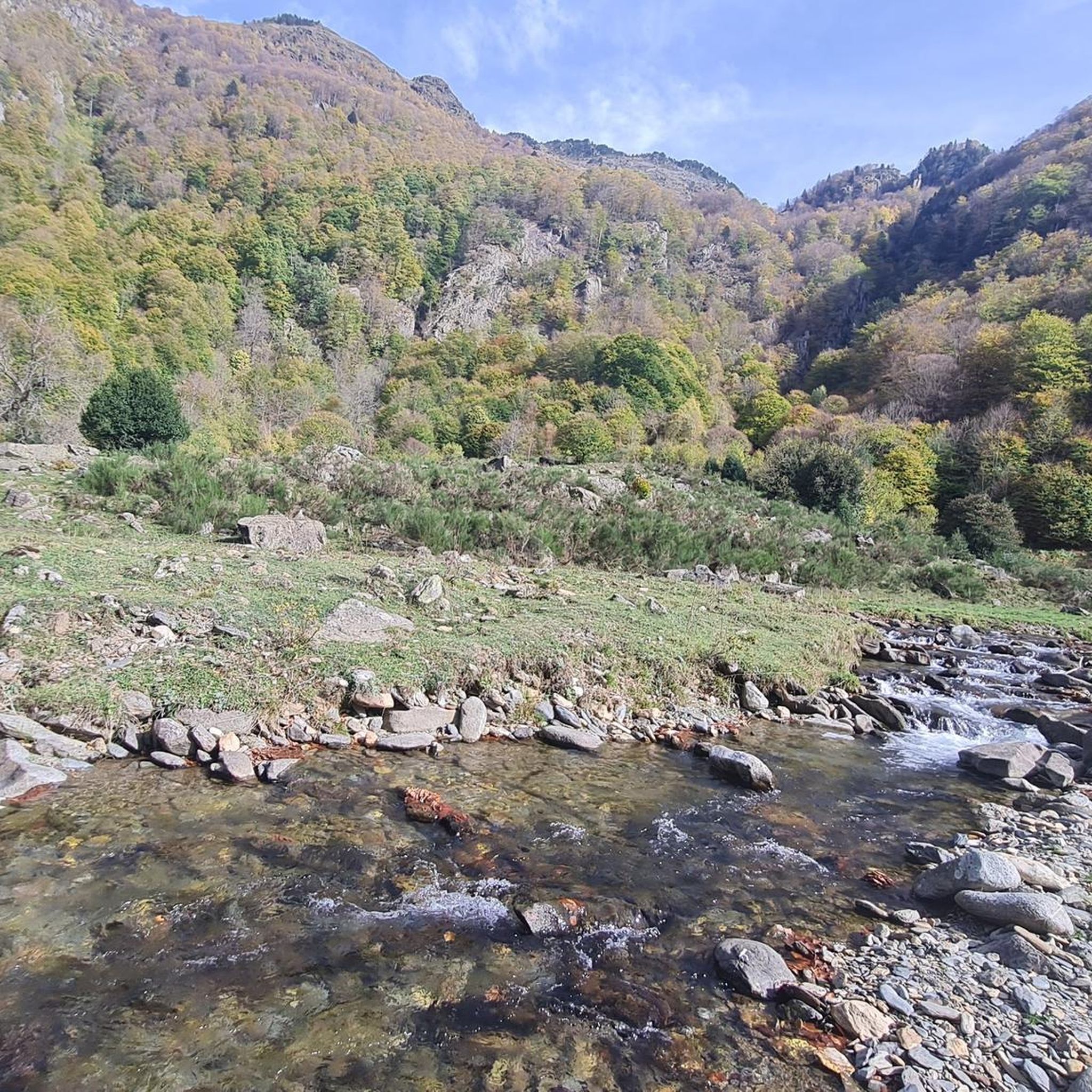
Road Cycling Routes in Réserve Biologique Dirigée De Laurenti
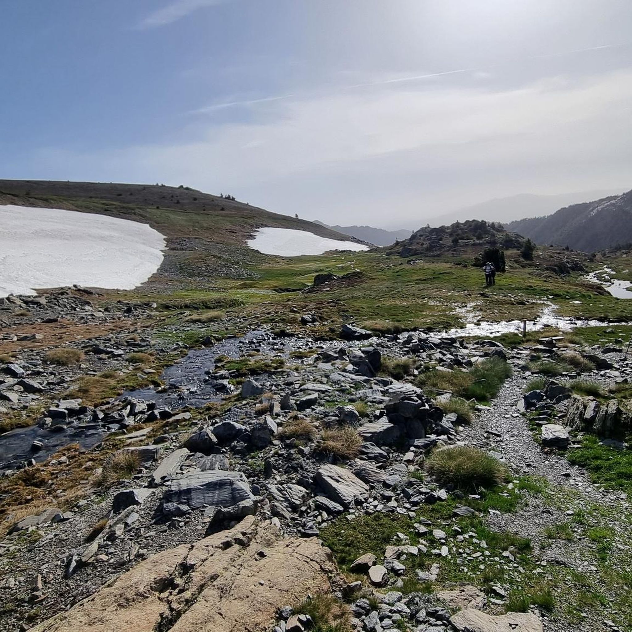
Running Trails in Réserve Biologique Dirigée De Laurenti
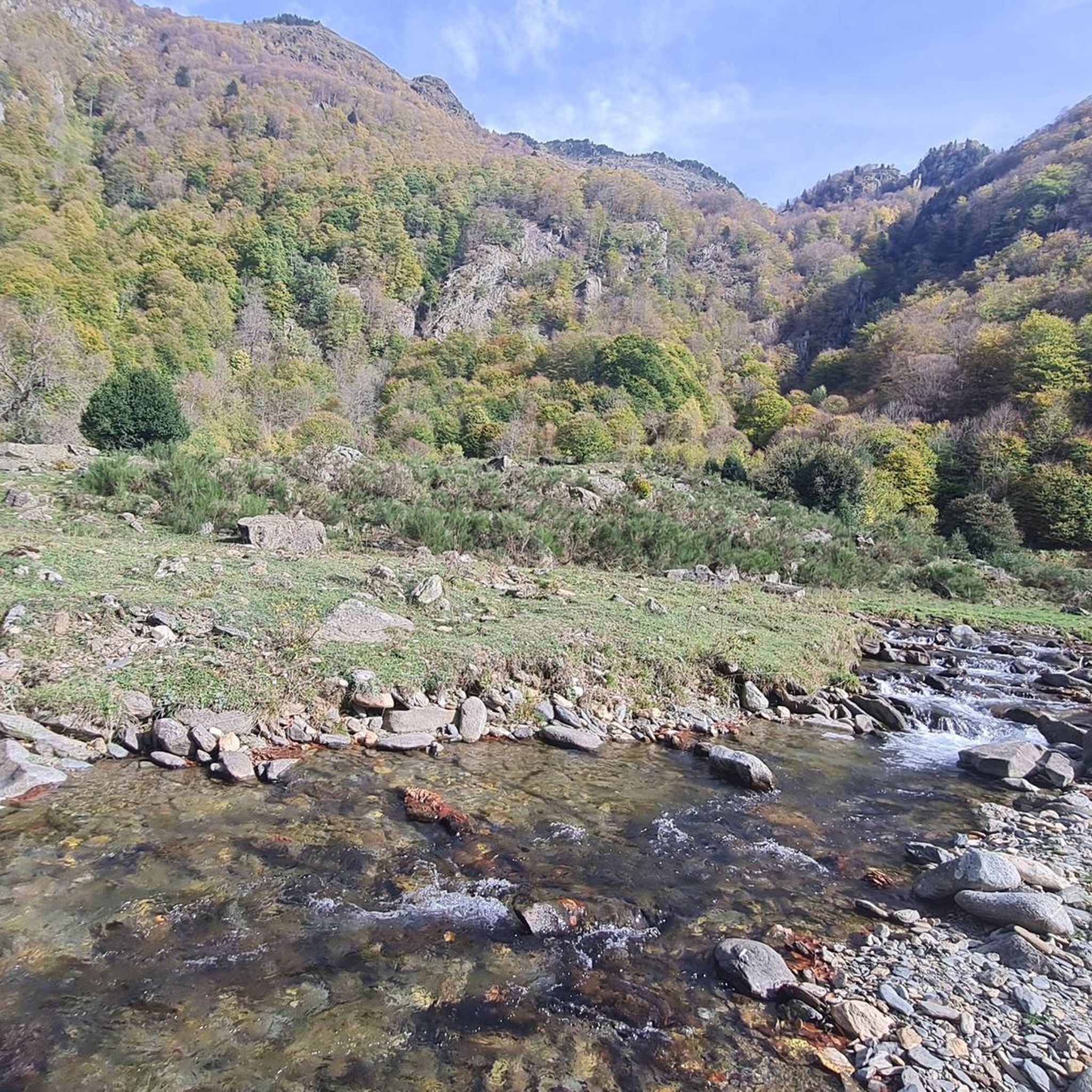
MTB Trails in Réserve Biologique Dirigée De Laurenti

Gravel biking in Réserve Biologique Dirigée De Laurenti

Mountain Hikes in Réserve Biologique Dirigée De Laurenti
Tips from the Community

The Matemale lake is located in the middle of the Capcir plateau. The color of its waters captures the attention and creates a desire: to get closer and perhaps take a dip. The lake is developed, and a equipped leisure base opens onto its shores. An ideal stopover.
0
0

Beautiful, quiet road. It's really nice to be away from traffic, especially if you're leaving the main road that leads to Lake Matemale.
0
0

It is a simply spectacular port that unites the regions of Conflent and Capcir. It is one of the most beautiful ports in the easternmost Pyrenees. It is very close to the Col de la Llosa, and you can take a circular route that is known as the "Route des Cols". It is also indicated on nearby road signs. The hardest slope is the one that begins in Olette (Conflent) and goes up through Aiguatèbia. There are almost 22 km of ascent and 1,089 meters of elevation gain. It has 3 very different zones: (1) the first is a constant 5 km at 7%; (2) the second is 10 km at 4% and with some very pleasant rest areas, with beautiful views; (3) The final part is 6 km on average at 7%, since it passes the town of Railleu, although the hard part is the last 3 km, with several ramps that exceed 10%. The road is narrow and has uneven asphalt, with hardly any cars and motorcycles. For me, the final part of this port is truly spectacular and should not be missed. The west slope begins in the town of Matamala (Capcir) and is 3 km with an average of close to 8%. It is a long irregular stretch along a narrow and very quiet road, with panoramic views of the valley when the thick black pine forest gives some opportunity.
0
0

From Puyvalador, a real pleasure!
0
0
A little disappointing: the pass is in the middle of the forest and offers no view. The climb from (and to!) Railleu is nevertheless superb. A nice picnic area to have a bite to eat.
1
0

Status in April: It is still winter above, spring is slowly coming below
1
0
One of the best experiences on my entire tour. I have this picture with the view of the mountains as my screen background. The roads are still closed, the snow is piled up meters high on the sides and at the same time there is not a single car on the road. Simply fantastic
1
0
Small road, little traffic. Just enjoy the nature and keep going. Remember to bring enough food and water. The climb is long but it's worth it!
0
0
Frequently Asked Questions
How many touring cycling routes are available in Réserve Biologique Dirigée De Laurenti?
There are over 25 touring cycling routes in Réserve Biologique Dirigée De Laurenti. The region is known for its diverse terrain, offering options from easier paths to very challenging climbs.
What are the difficulty levels of touring cycling routes in Réserve Biologique Dirigée De Laurenti?
The majority of touring cycling routes in this region are considered difficult, with 21 routes falling into this category. There are also 3 moderate routes and 2 easier options, catering to a range of fitness levels. The mountainous terrain often involves significant elevation changes.
Are there any particularly challenging touring cycling routes for experienced riders?
Yes, experienced riders seeking a challenge will find many options. A notable difficult route is the Mijanès – Pailhères Pass loop from Étang de Laurenti, which covers over 100 km and features significant climbs with more than 3300 meters of elevation gain. Another demanding option is the Ascent to the Col du Chioula – Col du Pradel loop from Le Fanguil-Chalet, offering over 1400 meters of ascent.
What natural features or landmarks can I expect to see while cycling?
The Réserve Biologique Dirigée De Laurenti offers stunning natural beauty. You'll cycle through picturesque forests of beech and fir trees, experience challenging mountainous terrain, and encounter the beautiful Étang du Laurenti (Laurenti Lake), often described as one of the most scenic lakes in Ariège. The region, sometimes called 'the little Quebec Ariégeois,' provides a wild and spectacular backdrop for your rides.
When is the best time of year for touring cycling in Réserve Biologique Dirigée De Laurenti?
Given the mountainous terrain and potential for snow at higher elevations, the best time for touring cycling is typically from late spring through early autumn (May to October). During these months, the weather is generally more favorable, and mountain passes are usually clear. Always check local weather conditions before heading out.
Are there family-friendly touring cycling routes in the area?
While many routes are challenging, there are a couple of easier touring cycling routes available. These routes are generally shorter and have less elevation gain, making them more suitable for families or those looking for a more relaxed ride. Look for routes categorized as 'easy' on komoot.
Can I find circular touring cycling routes in Réserve Biologique Dirigée De Laurenti?
Yes, many of the touring cycling routes in the region are designed as loops, allowing you to start and finish at the same point. Examples include the Lake Matemale – Lake Matemale loop from Station de Puyvalador and the Lake Matemale – Cycle path along the D118 loop from Station de Puyvalador.
What do other touring cyclists enjoy most about cycling in Réserve Biologique Dirigée De Laurenti?
The area is highly rated by the komoot community, with an average score of 4.4 stars from more than 10 reviews. Cyclists often praise the stunning natural landscapes, the challenging yet rewarding climbs, and the opportunity to connect with nature in this protected biological reserve.
Are there routes that pass by lakes?
Yes, several routes offer scenic views of lakes. The Lake Matemale – Lake Matemale loop from Station de Puyvalador and the Lake Matemale – Cycle path along the D118 loop from Station de Puyvalador both feature beautiful sections around Lake Matemale. The Étang du Laurenti is also a significant highlight in the region.
What kind of terrain can I expect on the touring cycling routes?
You can expect varied terrain, primarily characterized by mountainous landscapes with significant elevation changes. Routes often wind through dense forests and along paved surfaces, offering a mix of challenging climbs and scenic descents. The region is part of the Ariège Pyrenees, so be prepared for a true mountain cycling experience.
Most popular routes in Réserve Biologique Dirigée De Laurenti
Most popular attractions in Réserve Biologique Dirigée De Laurenti

Get inspired with the komoot mobile app


Explore more
Browse the best Cycling routes in other regions.
