The best mountain hikes in Réserve Nationale De Chasse Et Faune Sauvage D'Orlu
4.9
(8)
47
hikers
10
hikes
Mountaineering routes in Réserve Nationale De Chasse Et Faune Sauvage D'Orlu traverse a high mountain environment characterized by elevated plains and steep valleys. The reserve spans a significant altitude range, from 930 meters to 2,765 meters, offering diverse landscapes. The Oriège Valley, where the river originates, provides access to higher elevations, and numerous lakes, such as En Beys pond, are notable natural features. This varied terrain includes high-altitude heathlands, meadows, and rocky environments, providing challenging and rewarding mountaineering experiences.
Best…
Last updated: November 17, 2026
5.0
(2)
9
hikers
8.01km
02:54
250m
250m
Moderate mountaineering route. Good fitness required. Mostly walkable paths. Sure-footedness required.
4.5
(2)
3
hikers
4.95km
01:45
200m
200m
Moderate mountaineering route. Mostly walkable paths. Sure-footedness required.

5.0
(1)
2
hikers
10.9km
03:39
330m
330m
Moderate mountaineering route. Good fitness required. Mostly walkable paths. Sure-footedness required.
2
hikers
14.3km
04:46
420m
420m
Moderate mountaineering route. Good fitness required. Mostly walkable paths. Sure-footedness required.
8
hikers
17.1km
07:38
1,190m
1,190m
Hard mountaineering route. Very good fitness required. Sure-footedness, sturdy shoes and alpine experience required.
Get access to more routes and recommendations from other explorers.
Already have an account?
Our route recommendations are based on thousands of hikes, rides, and runs completed by other people on komoot.
Start today with a free account
Your next adventure awaits.
Popular around Réserve Nationale De Chasse Et Faune Sauvage D'Orlu
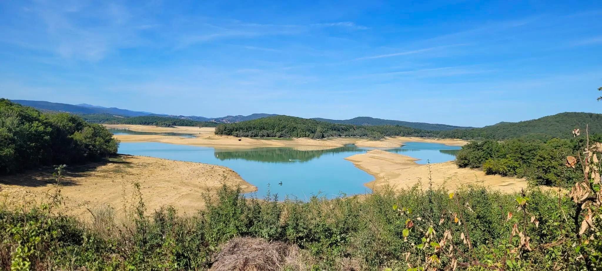
Plains, hills and mountains – GR 7 in the heart of France’s Occitania
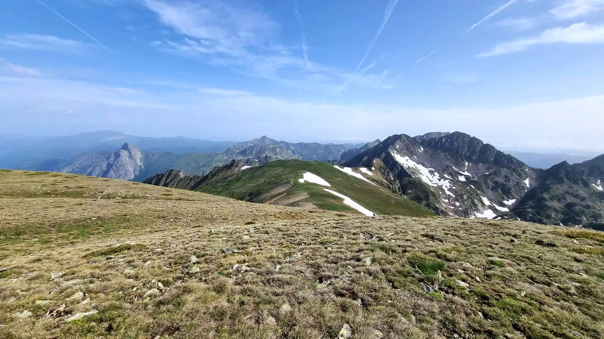
From refuge to refuge — Tour des Pérics
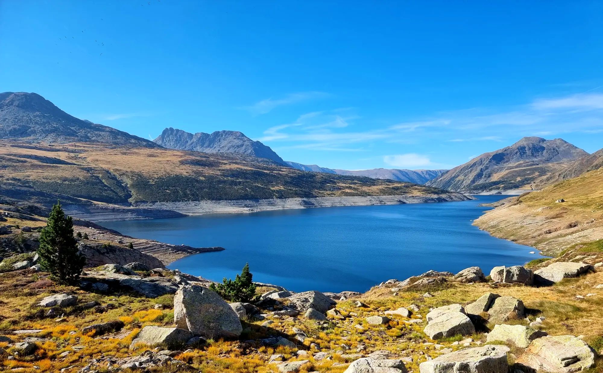
Tour des Pérics – Carlit and Grand Péric variants
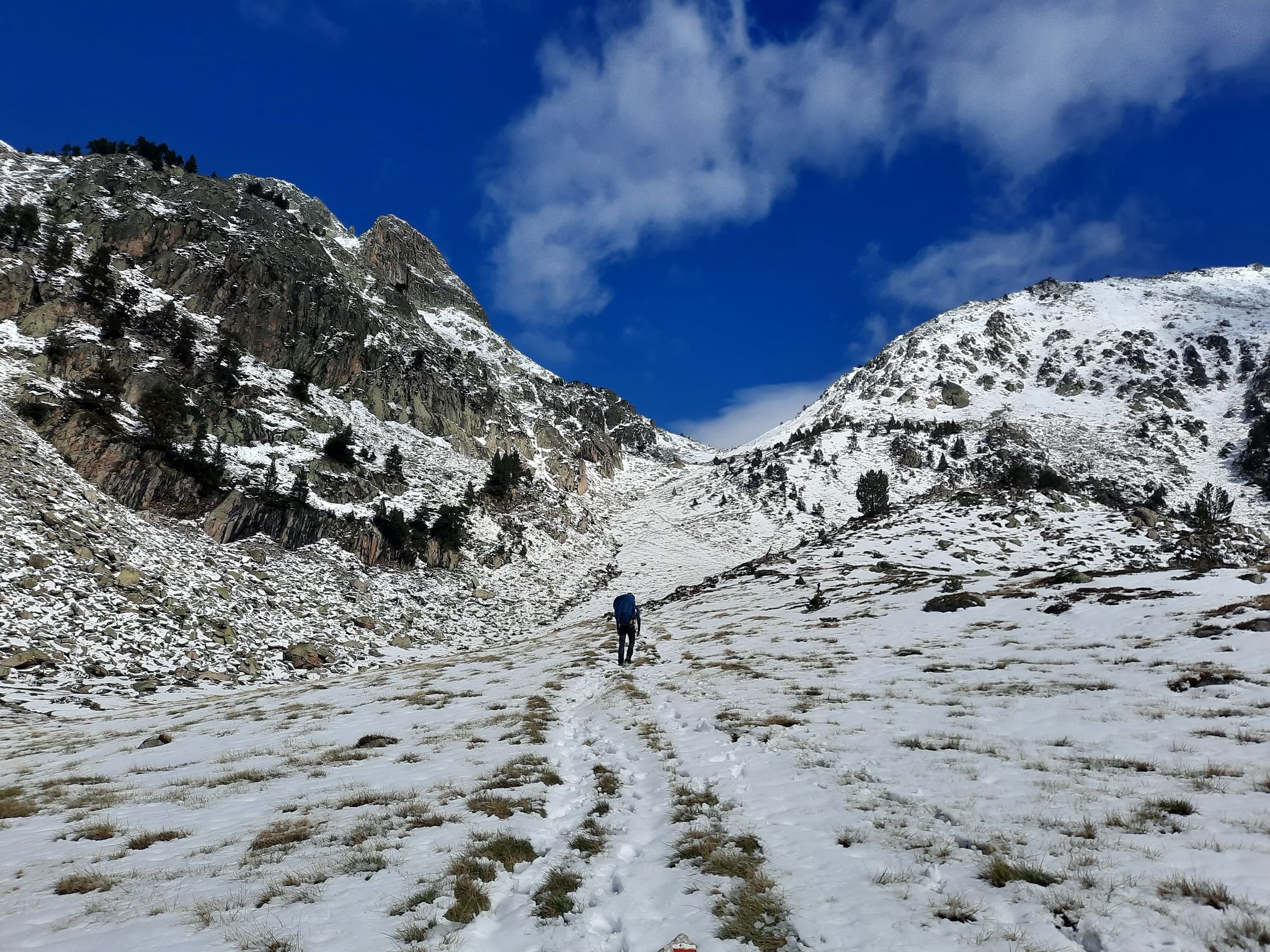
Between the Pyrenean peaks – GRP tour of the Montagnes d'Ax

Hiking in Réserve Nationale De Chasse Et Faune Sauvage D'Orlu

Road Cycling Routes in Réserve Nationale De Chasse Et Faune Sauvage D'Orlu

Cycling in Réserve Nationale De Chasse Et Faune Sauvage D'Orlu

Running Trails in Réserve Nationale De Chasse Et Faune Sauvage D'Orlu

MTB Trails in Réserve Nationale De Chasse Et Faune Sauvage D'Orlu

Gravel biking in Réserve Nationale De Chasse Et Faune Sauvage D'Orlu
Other adventures in Réserve Nationale De Chasse Et Faune Sauvage D'Orlu


Tips from the Community

Very good and there are even ducks
0
0
Magnificent. A memorable hike for the family.
0
0

More "high mountain" atmosphere than the other lakes in Carlit
0
0

A superb lake reflecting the neighboring peaks. The morning light amplifies this mirror effect.
1
0

Snowshoeing itinerary in the Bulloses area https://www.youtube.com/watch?v=esdackshECU
0
0

Frequently Asked Questions
How many mountaineering routes are available in Réserve Nationale De Chasse Et Faune Sauvage D'Orlu?
There are over 15 mountaineering routes in Réserve Nationale De Chasse Et Faune Sauvage D'Orlu. These routes range from moderate to difficult, offering diverse challenges across the high mountain terrain.
What are the general difficulty levels for mountaineering in Réserve Nationale De Chasse Et Faune Sauvage D'Orlu?
The routes in Réserve Nationale De Chasse Et Faune Sauvage D'Orlu are primarily moderate to difficult. You'll find 8 moderate routes, suitable for those with some experience, and 7 difficult routes, which require good physical condition and mountaineering skills.
Are there any circular mountaineering routes in Réserve Nationale De Chasse Et Faune Sauvage D'Orlu?
Yes, several routes offer circular options. For example, the Refuge d'En Beys loop from Le Fanguil-Chalet is a challenging 17.1 km circular route. Another popular choice is the moderate Étang Bleu – Étang Noir loop from Port de Pailhères, covering 11.6 km.
What kind of natural attractions can I expect to see along the mountaineering routes?
The reserve is rich in natural beauty. You can expect to encounter stunning alpine lakes like Étang Faury, and enjoy panoramic views from peaks such as Mortiers Peak and Puig de Terrers. The Oriège valley itself is a central feature, with numerous torrents and waterfalls, including those found on the Rec de Lanos Waterfalls – Font Vive Lake loop.
Is there a refuge available for multi-day mountaineering trips?
Yes, the guarded Refuge d'En Beys is situated at 1,950 meters in the heart of the reserve. It serves as a crucial base for multi-day expeditions and is accessible after about a three-hour walk. The Refuge d'En Beys loop from Le Fanguil-Chalet is a route that passes by this refuge.
What is the best time of year for mountaineering in Réserve Nationale De Chasse Et Faune Sauvage D'Orlu?
The best time for mountaineering typically spans from late spring to early autumn (roughly June to September) when the snow has melted from higher elevations and weather conditions are generally more stable. However, conditions can change rapidly in the mountains, so always check local forecasts.
Are there any routes that offer views of multiple lakes?
Yes, the Lac de la Coumasse – View of the lakes loop from Lac des Bouillouses is a moderate 8 km route specifically designed to offer scenic views of several lakes in the area.
What kind of wildlife might I encounter in the reserve?
Réserve Nationale De Chasse Et Faune Sauvage D'Orlu is a sanctuary for characteristic Pyrenean wildlife, including endemic species. As a Natura 2000 site, it protects valuable habitats, so you might spot various mountain flora and fauna. Respecting the wildlife and staying on marked trails is essential.
What do other mountaineers enjoy most about the routes in Réserve Nationale De Chasse Et Faune Sauvage D'Orlu?
The area is highly rated by the komoot community, with an average score of 4.9 stars from over 20 reviews. Mountaineers often praise the challenging high-altitude terrain, the stunning alpine lakes, and the diverse mountain habitats encountered on routes like the Étang Bleu – Étang Noir loop.
Are there any specific regulations or permits needed for mountaineering in the reserve?
Réserve Nationale De Chasse Et Faune Sauvage D'Orlu is a protected area. While general access for hiking and mountaineering is permitted, specific regulations may apply to certain activities or areas to protect the environment and wildlife. For detailed information on any required permits or specific rules, it's advisable to consult the official website of the Office Français de la Biodiversité: ofb.gouv.fr.
Where can I find parking for mountaineering trails in the Orlu reserve?
Many routes, such as the Refuge d'En Beys loop, start from accessible points like Le Fanguil-Chalet, which typically offers parking facilities. Other routes might originate near Lac des Bouillouses or Port de Pailhères. Always check the specific route details on komoot for recommended starting points and parking information.
Most popular routes in Réserve Nationale De Chasse Et Faune Sauvage D'Orlu
Most popular attractions in Réserve Nationale De Chasse Et Faune Sauvage D'Orlu

Get inspired with the komoot mobile app


Explore more
Browse the best Mountain Hikes & Routes in other regions.
