The best road cycling routes in Réserve De Vie Sauvage Du Grand Barry
4.4
(124)
1,979
riders
36
rides
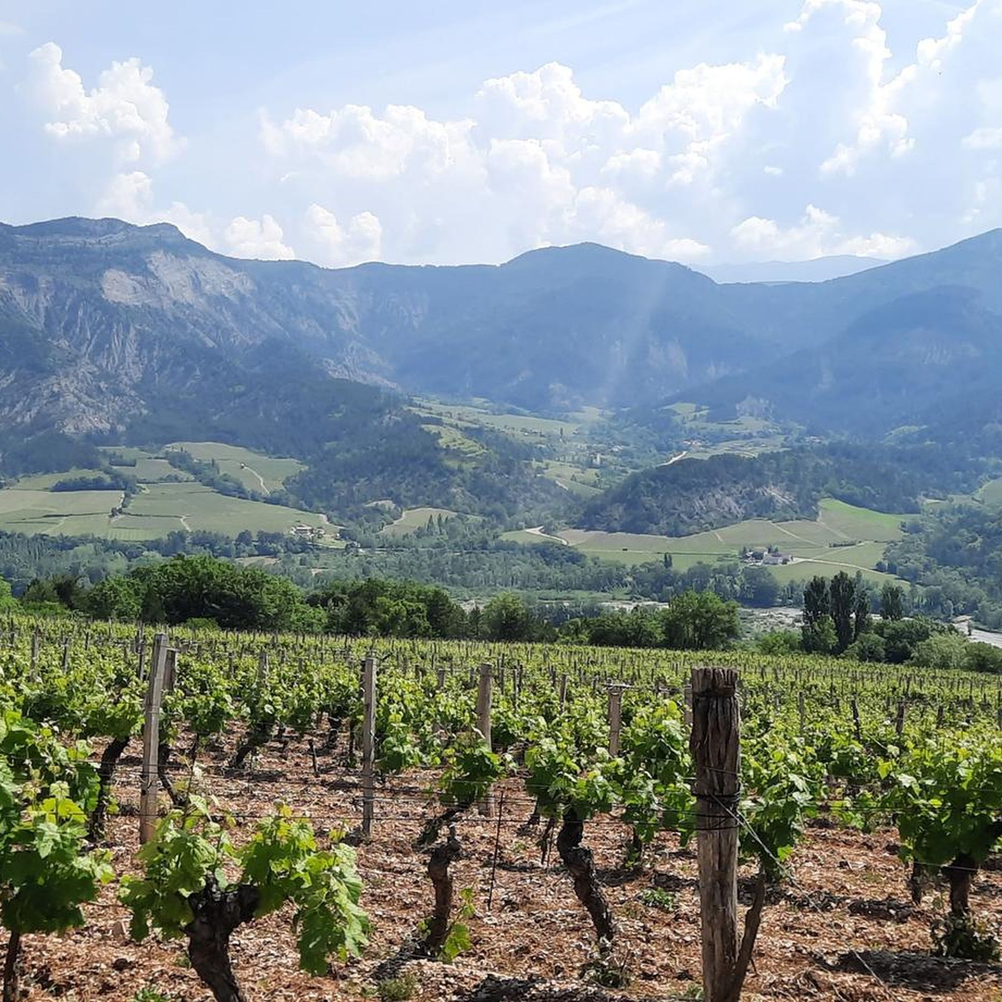
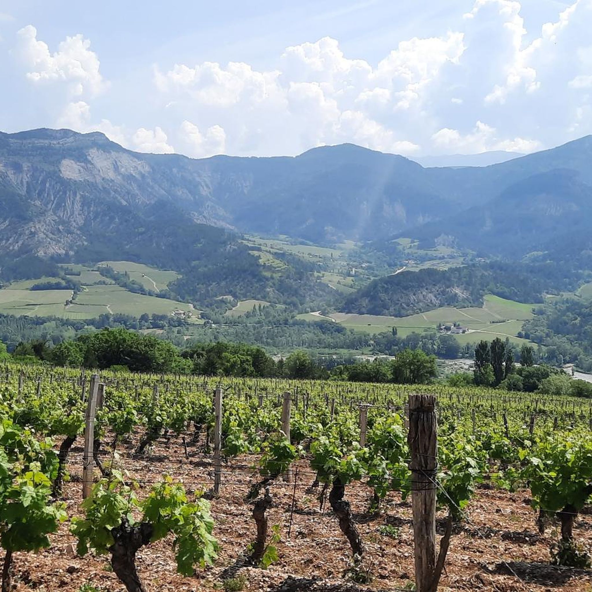
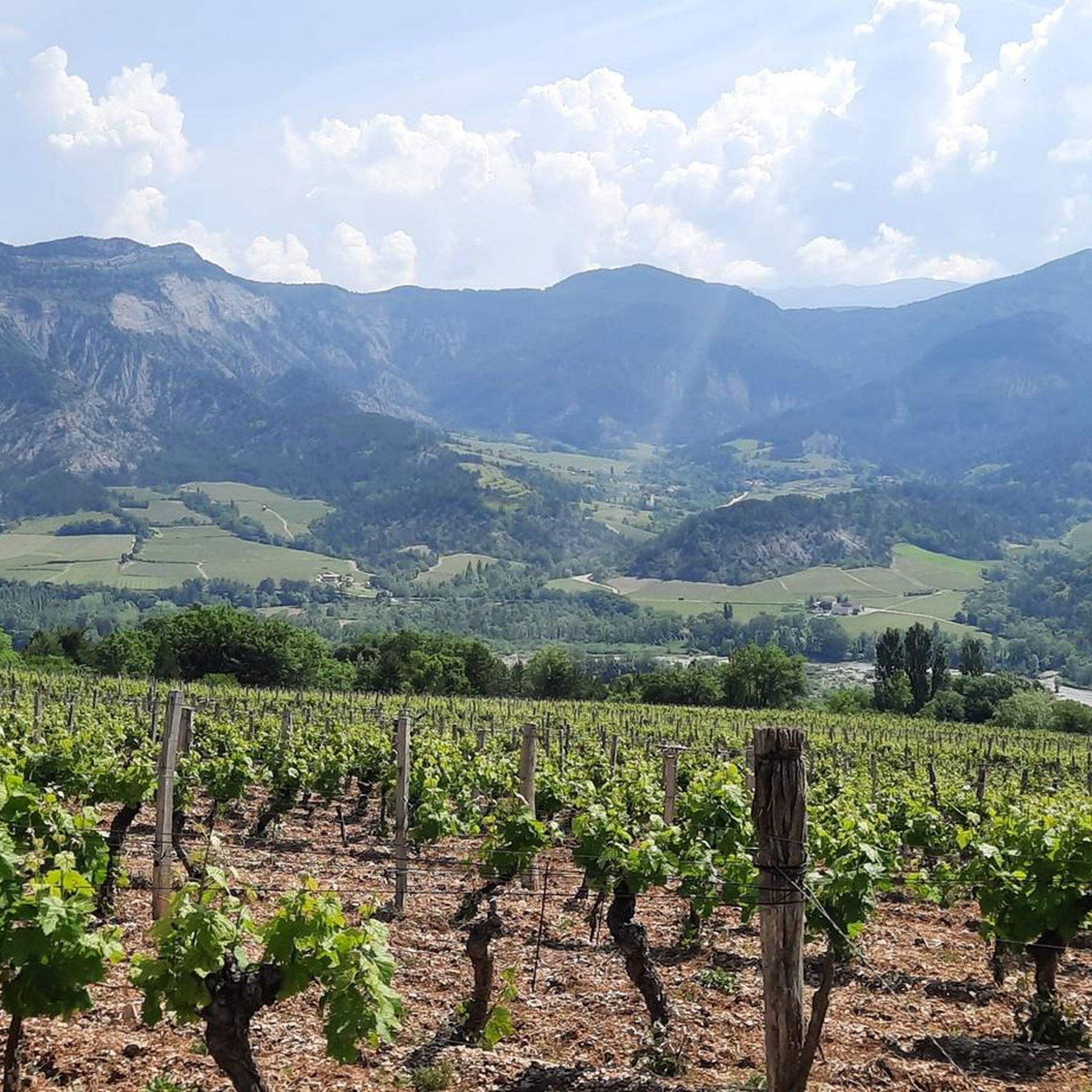
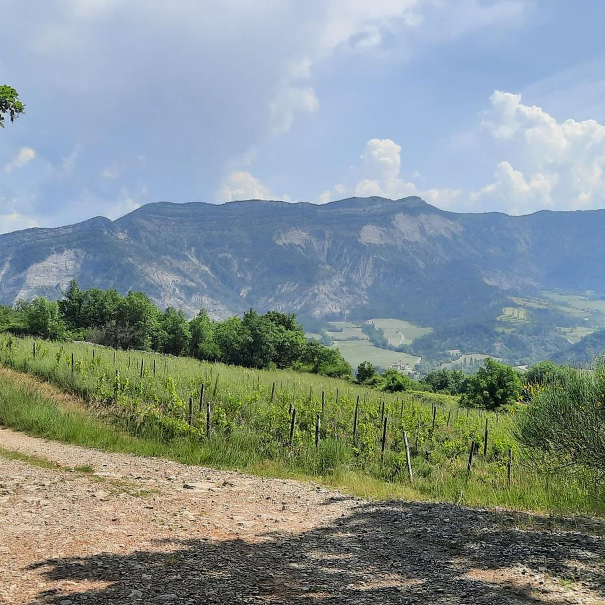
Road cycling routes near Réserve De Vie Sauvage Du Grand Barry are situated within the Drôme department, at the foothills of the Vercors massif. While the reserve itself is protected and does not permit cycling, the surrounding region offers diverse terrain for road cyclists. This area features limestone cliffs, deep gorges, rolling hills, and river valleys, with elevations ranging from gentle slopes to challenging cols.
Best road cycling routes in Réserve De Vie Sauvage Du Grand Barry
- The most popular…
Last updated: November 15, 2026
4.0
(1)
23
riders
28.0km
01:19
300m
300m
Moderate road ride. Good fitness required. Mostly well-paved surfaces and easy to ride.
3.8
(14)
158
riders
52.9km
02:08
300m
300m
Moderate road ride. Good fitness required. Mostly well-paved surfaces and easy to ride.

5.0
(4)
82
riders
36.0km
02:04
840m
840m
Moderate road ride. Good fitness required. Mostly well-paved surfaces and easy to ride.
4
riders
28.4km
01:28
500m
500m
Moderate road ride. Good fitness required. Mostly well-paved surfaces and easy to ride.
5.0
(1)
69
riders
105km
05:53
2,240m
2,240m
Hard road ride. Very good fitness required. Mostly well-paved surfaces and easy to ride.
Get access to more routes and recommendations from other explorers.
Already have an account?
Our route recommendations are based on thousands of hikes, rides, and runs completed by other people on komoot.
Start today with a free account
Your next adventure awaits.
Popular around Réserve De Vie Sauvage Du Grand Barry

Tips from the Community

The former monastery has a small refreshment stand and a shop with local products in its courtyard.
0
0

Beautiful photo, the city is also very nice
0
0

The Viadotto di Pontaix offers one of the most photogenic and evocative passages in the Drôme Valley. Crossing this historic viaduct, you can enjoy a spectacular panoramic view of the river, the surrounding vineyards, and the imposing limestone cliffs that mark the entrance to the Vercors massif.
7
0
Road without traffic, the asphalt is in perfect condition.
6
0
The Vercors Massif is an immense limestone plateau located in the French Prealps, divided between the departments of Isère and Drôme, a stone's throw from Grenoble and Valence.
6
0
Conversation in AI Mode: valle di la sureThe Sûre Valley (or Vallée de la Sûre) is a splendid natural region that extends along the course of the Sûre river (called Sauer in German), mainly located between Belgium and Luxembourg, with some extensions into Germany.If, on the other hand, you were looking for a location related to the French mountains (in the Chartreuse massif), you might be referring to the area around the summit of Grande Sure.Here are the main attractions and activities related to the Sûre Valley (Ardennes/Luxembourg):🏞️ Nature and National ParksHaute-Sûre Natural Park: Located in the province of Luxembourg (Belgium), it includes dense forests, marshy areas, and vast agricultural plateaus.Haute-Sûre Lake: Located in Luxembourg, it is the country's largest reservoir and a paradise for water sports, hiking, and relaxation.🚴 Hiking and CyclingCycling Routes: The valley offers spectacular and flat cycling routes along the river, such as the famous S3 Tour de la Vallée de la Sûre in Luxembourg, ideal for discovering typical villages and castles.Trekking Trails: There are numerous circular routes of varying difficulty, perfect for walks in the woods and along waterways.👨👩👧👦 Featured AttractionsZooParc Vallée de la Sûre: Located in Vaux-sur-Sûre (Belgium), it is a wildlife park in the Ardennes where you can observe rare species and participate in educational activities such as the "zookeeper for a morning".Would you like more information about a specific area of the Sûre Valley? Let me know if you are interested in:Detailed trekking or cycling routesInformation about castles and historic villages in the areaDetails about the Grande Sure summit in France, in case you were looking for the mountainAI responses may contain errors. Learn moreZooParc Vallée de la SûreZooParc Vallée de la Sûre • Parc animalier de l'ArdenneÀ Vaux-sur-Sûre, à deux battements d'ailes de Bastogne, Libramont et Neufchâteau, laissez-vous emporter par une aventure unique où...Decathlon OutdoorThe great Sure di Currière - Decathlon OutdoorJune 17, 2026 — From its 1,920-meter summit, the Grande Sure majestically overlooks the valley. From its peak, it offers a magnificent view of the valley...visit WalloniaHaute-Sure and Anlier Forest Natural ParkIt consists of vast agricultural plateaus, the Sûre basin, with its resinous valleys, the Anlier massif, the important relief...Show allvalle di la sure in the VercorsIn the Vercors Massif (France), the name "La Sure" does not refer to a long watercourse, but to a splendid alpine basin and a panoramic peak that dominates the northern part of the massif. In particular, it refers to the area and hiking route of Le Val de la Sure, located near the municipality of Autrans-Méaudre en Vercors.
8
0

Great little pass coming from Marignic
0
0
magnificent panorama, very pleasant walk
0
0
Frequently Asked Questions
Is road cycling permitted within the Réserve De Vie Sauvage Du Grand Barry itself?
No, the Réserve De Vie Sauvage Du Grand Barry is a protected area focused on rewilding and wildlife observation. Road cycling is not permitted within its boundaries. However, the surrounding Drôme and Vercors regions offer an extensive network of road cycling routes.
What kind of terrain can I expect when road cycling near the Grand Barry reserve?
The region surrounding the Grand Barry reserve, particularly the Drôme and Vercors massifs, offers incredibly diverse terrain. You'll encounter everything from narrow gorges and precipitous cliffs to rolling hills, river valleys, and alpine meadows. Expect challenging ascents with cols typically ranging from 6-20 km at 5-7% gradients, alongside more moderate routes through picturesque landscapes.
Are there any challenging road cycling routes in the area?
Yes, the region is well-known for its challenging ascents, especially in the Vercors Massif. Routes like Panoramic View of the Diois – Col de Rousset loop from Vercheny, a 69.5 km trail with over 1100 meters of elevation gain, are classified as difficult and offer significant climbs and panoramic views.
What are some scenic road cycling routes that offer great views?
Many routes in the Drôme and Vercors regions are designed for scenic beauty. The Vercors offers 'sublime routes' with spectacular gorges and balcony roads, such as the famous Combe Laval. For a route with river valley views, consider View of the Crest Tower – The Drôme at Crest loop from Vercheny, which passes through rolling hills and offers vistas of the Drôme river.
Are there any moderate road cycling options for those looking for a less strenuous ride?
Absolutely. While the region is known for its climbs, there are also moderate routes. For example, the Col de la Chaudière – Col de la Chaudière loop from Vercheny is a 35.1 km moderate trail with varied terrain. The Drôme river valleys also offer more rolling hills and less intense climbs.
What is the best time of year for road cycling in the Drôme and Vercors regions?
The region benefits from a diverse climate. The Southern Vercors, or Drôme Provençale, offers a warmer and drier climate with Mediterranean influences, making spring and autumn particularly pleasant. Summer is also popular, though some higher passes might be warm. Always check local weather conditions before heading out.
Are there any circular road cycling routes available?
Yes, many routes in the area are designed as loops, allowing you to start and finish in the same location. Examples include the Panoramic View of the Diois – Col de Rousset loop from Vercheny and the Saou – Col du Pas de Lauzun loop from Espenel, offering varied distances and difficulties.
What do other road cyclists say about the routes near Réserve De Vie Sauvage Du Grand Barry?
The road cycling routes in this area are highly rated by the komoot community, with an average score of 4.6 stars from over 160 reviews. Cyclists often praise the stunning natural beauty, the varied terrain, and the challenging yet rewarding ascents found throughout the Drôme and Vercors regions.
Are there options for family-friendly road cycling in the wider Drôme region?
While the immediate area around the Grand Barry reserve might feature more challenging terrain, the broader Drôme region offers family-friendly cycling options. Look for routes along river valleys or dedicated cycle paths like sections of the Véloroute Vallée de l'Isère or ViaRhôna, which provide easier, flatter terrain suitable for families.
Can I find charming villages or cultural stops along the cycling routes?
Yes, the region is dotted with charming villages that make for excellent cultural stops. The area includes some of France's 'Beaux Villages,' such as Saint-Antoine de l'Abbaye, with its narrow, ancient streets. Many cycling routes pass through or near these picturesque settlements, offering opportunities to explore and refuel.
Where can I find information on parking or public transport access for cyclists in the Drôme Vercors area?
For specific parking locations at route start points, it's best to check individual route descriptions on komoot. Public transport options for cyclists in the Drôme Vercors region can vary, so consulting local tourist information or regional transport websites is recommended for the most up-to-date details on bike-friendly services.
Are there any less-known or 'hidden gem' road cycling routes to explore?
The Drôme and Vercors regions are vast, and while popular routes are well-documented, there are always less-traveled paths. Exploring routes like Roanne Gorges – Travard Pass loop from Espenel, a moderate 32.1 km ride, can lead you through beautiful, quieter landscapes away from the busiest spots, offering a sense of discovery.
Most popular routes in Réserve De Vie Sauvage Du Grand Barry

Get inspired with the komoot mobile app


Explore more
Browse the best Road cycling routes in other regions.
