The best mountain hikes in Feldberg
4.6
(35)
189
hikers
34
hikes
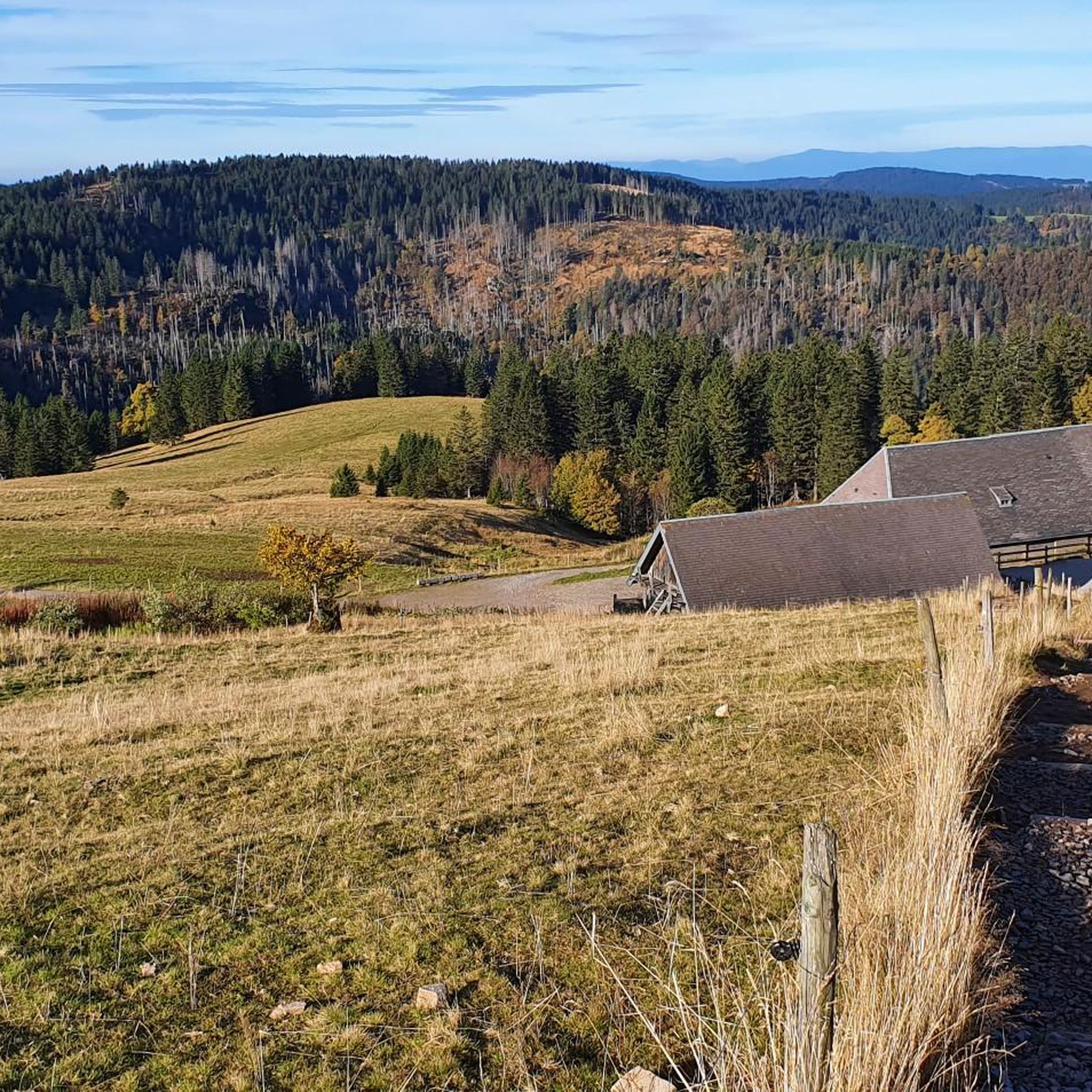
Mountaineering routes in Feldberg traverse the highest peaks of the Black Forest, offering diverse terrain for outdoor enthusiasts. The region is characterized by its forested slopes, open summit plateaus, and glacial cirques like the Feldsee. These routes often feature significant elevation changes, providing panoramic views across the surrounding landscape.
Best mountaineering routes in Feldberg
- The most popular mountaineering route is Bismarck Monument on the Seebuck – Feldberg Summit loop from Feldbergturm, a 6.5 miles (10.5 km) trail that takes…
Last updated: October 5, 2026
5.0
(3)
29
hikers
10.5km
03:05
300m
300m
Moderate mountaineering route. Good fitness required. Easily-accessible paths. Suitable for all skill levels.
5.0
(2)
11
hikers
8.41km
02:59
480m
480m
Moderate mountaineering route. Good fitness required. Mostly accessible paths. Sure-footedness required.

5.0
(2)
11
hikers
8.88km
03:00
340m
340m
Moderate mountaineering route. Good fitness required. Mostly accessible paths. Sure-footedness required.
8
hikers
11.2km
03:58
590m
590m
Moderate mountaineering route. Good fitness required. Mostly accessible paths. Sure-footedness required.
5.0
(2)
9
hikers
Moderate mountaineering route. Good fitness required. Mostly accessible paths. Sure-footedness required.
Get access to more routes and recommendations from other explorers.
Already have an account?
Our route recommendations are based on thousands of hikes, rides, and runs completed by other people on komoot.
Start today with a free account
Your next adventure awaits.
Popular around Feldberg
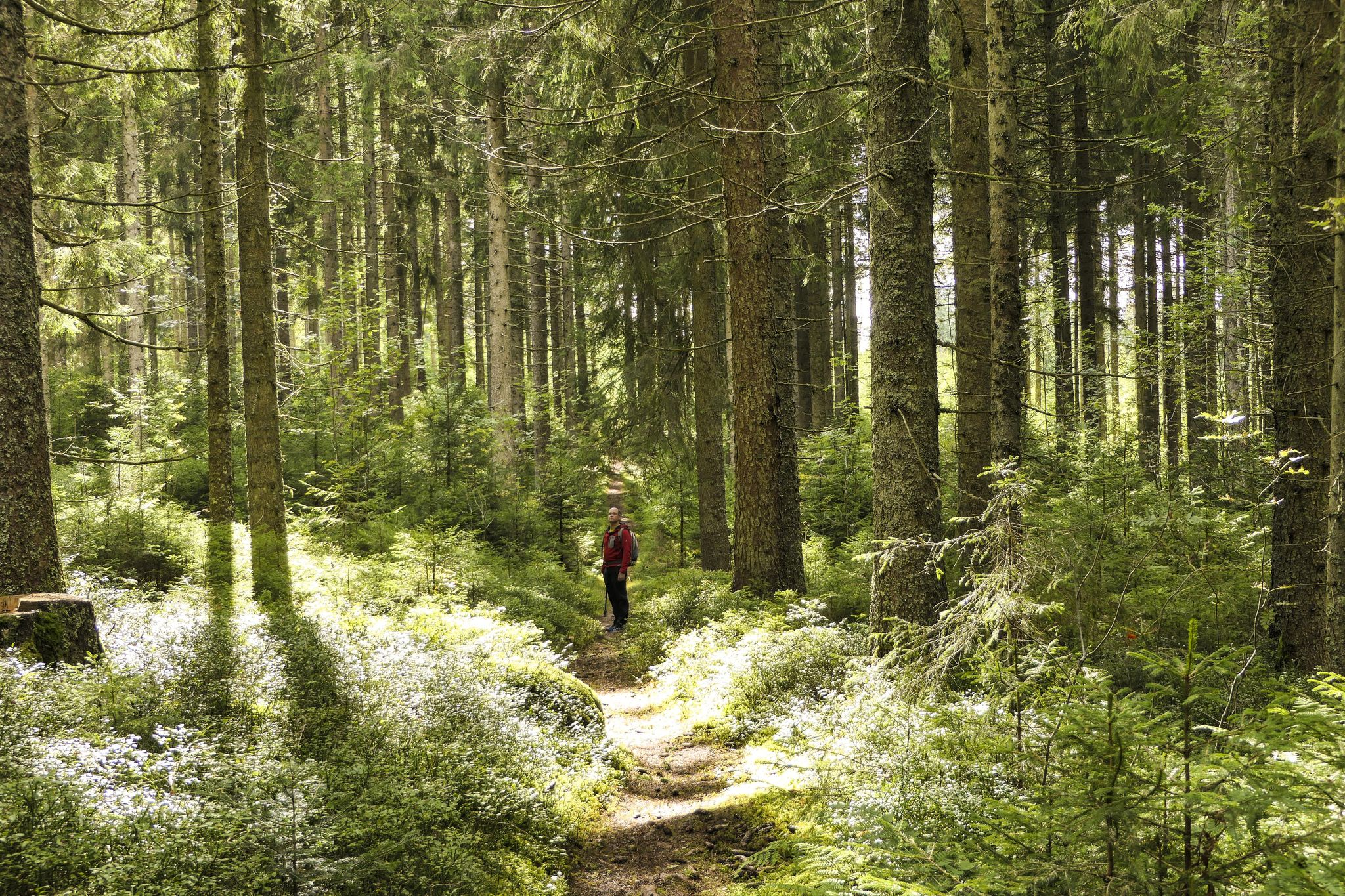
Discover 10 special protected natural areas in Germany’s Baden–Württemberg

Lowest to Highest (L2H) in Germany
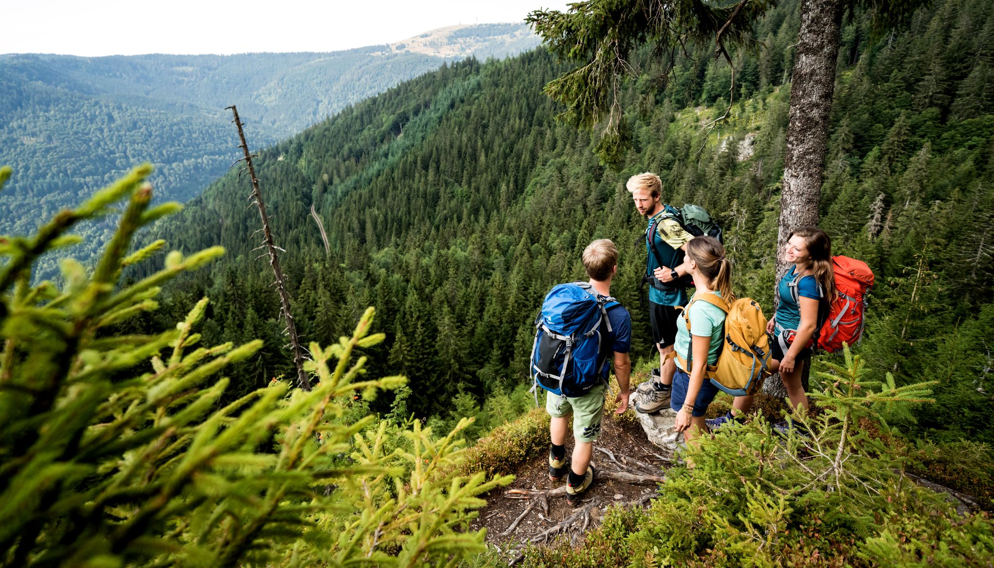
Hiking adventures in the Black Forest
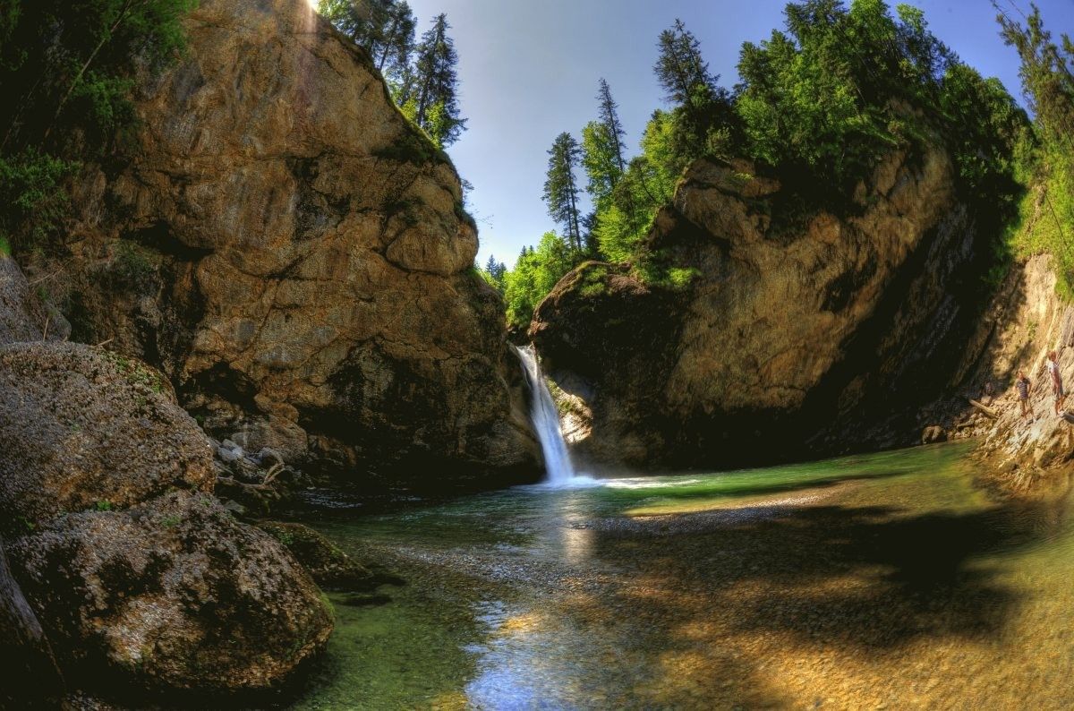
Germany's roaring waterfalls
Romantische Orte im Schwarzwald
Hiking in Feldberg
MTB Trails in Feldberg
Cycling in Feldberg
Gravel biking in Feldberg
Road Cycling Routes in Feldberg
Other adventures in Feldberg


Tips from the Community

In the magical region of the Teinachtal around Zavelstein, nestled in the gentle hills of the Black Forest,
3
0
Nature park moments mark a viewpoint with a beautiful panorama
3
0
Directly on the summit of Feldberg in the Black Forest, not far from the older transmission tower on the Seebuck.
3
0
Commissioned in the summer of 2003 by the SWR.
3
0
The unique museum in the Feldbergturm interactively and engagingly conveys the traditional production of Black Forest ham
3
0
The 21-meter-high Friedrich-Luise Tower on the 1493-meter-high Feldberg summit houses an important weather radar facility of the German Weather Service.
3
0
Frequently Asked Questions
How many mountaineering routes are available in Feldberg?
Feldberg offers a wide selection of mountaineering routes, with over 40 distinct tours available. These routes traverse the highest peaks of the Black Forest, providing diverse terrain for all skill levels.
Are there routes suitable for beginners in Feldberg?
Yes, Feldberg has a few easier mountaineering routes, with 2 specifically rated as easy. While most routes involve significant elevation changes, these easier options allow newcomers to experience the region's beauty. For example, the Herzogenhorn Summit loop from Herzogenhorn is a moderate option that provides expansive vistas without extreme difficulty.
What are some challenging mountaineering trails in Feldberg?
For those seeking a challenge, Feldberg features 10 routes rated as difficult. These trails often include steeper ascents and more rugged terrain, offering a rewarding experience for experienced mountaineers. The region's forested slopes and open summit plateaus ensure varied and demanding conditions.
What is the best time of year for mountaineering in Feldberg?
The best time for mountaineering in Feldberg is typically from late spring through early autumn (May to October). During these months, the weather is generally more stable, and trails are clear of snow, allowing for optimal conditions to enjoy the panoramic views and diverse landscapes.
Are there any circular mountaineering routes in Feldberg?
Yes, many of Feldberg's mountaineering routes are designed as circular loops, allowing you to start and end at the same point. An example is the popular Bismarck Monument on the Seebuck – Feldberg Summit loop from Feldbergturm, which offers stunning views from the Feldberg summit.
What interesting natural landmarks can I see along the routes?
Feldberg's mountaineering routes often pass by significant natural landmarks. You can explore glacial cirques like the Feldsee, or discover impressive waterfalls such as the Menzenschwand Waterfalls. Many trails also offer viewpoints like the View of the Feldsee from the Seebuck, providing breathtaking vistas.
Are there any routes that offer views of Lake Titisee?
Yes, some routes in the Feldberg area provide glimpses of the wider Black Forest landscape, including Lake Titisee. Keep an eye out for viewpoints like the View of Lake Titisee, which can be incorporated into longer tours, offering a different perspective of the region.
What do other mountaineers enjoy most about Feldberg?
The komoot community highly rates mountaineering in Feldberg, with an average score of 4.7 stars from over 30 reviews. Reviewers often praise the region's diverse terrain, from forested slopes to open summit views, and the well-maintained paths that lead to panoramic vistas across the Black Forest and sometimes even the Western Alps.
Are there any hidden gem trails or less-trafficked routes?
While many routes lead to popular summits, Feldberg also offers less-trafficked paths that allow for a more secluded experience. Consider exploring routes that venture into areas like the Upper Seebach Valley or the St. Wilhelm Valley, which offer tranquil natural beauty away from the busiest spots.
How can I access Feldberg mountaineering routes by public transport?
Feldberg is well-connected by public transport, particularly during peak seasons. Buses often serve key trailheads and visitor centers, making it possible to reach many starting points without a car. It's advisable to check local bus schedules for the Feldberg area to plan your journey effectively.
Are there cafes or pubs near the mountaineering routes?
Yes, you'll find various cafes, restaurants, and mountain huts (Hütten) scattered throughout the Feldberg region, often conveniently located near popular trailheads or along longer routes. These establishments provide opportunities for refreshments and meals, allowing you to refuel during or after your mountaineering adventure.
What is the typical duration for a mountaineering route in Feldberg?
The duration of mountaineering routes in Feldberg varies significantly based on length and difficulty. Many popular routes, such as the View of the Western Alps – Feldberg Summit loop from Feldbergturm, can take around 3 to 4 hours to complete. Shorter, easier paths might be quicker, while more challenging or extended tours could require a full day.
Most popular routes in Feldberg
Most popular attractions in Feldberg

Get inspired with the komoot mobile app


Explore more
Browse the best Mountain Hikes & Routes in other regions.
