Geschützter Landschaftsteil Rellstal Und Lünerseegebiet
Geschützter Landschaftsteil Rellstal Und Lünerseegebiet
The best road cycling routes in Geschützter Landschaftsteil Rellstal Und Lünerseegebiet
4.4
(195)
4,636
riders
45
rides
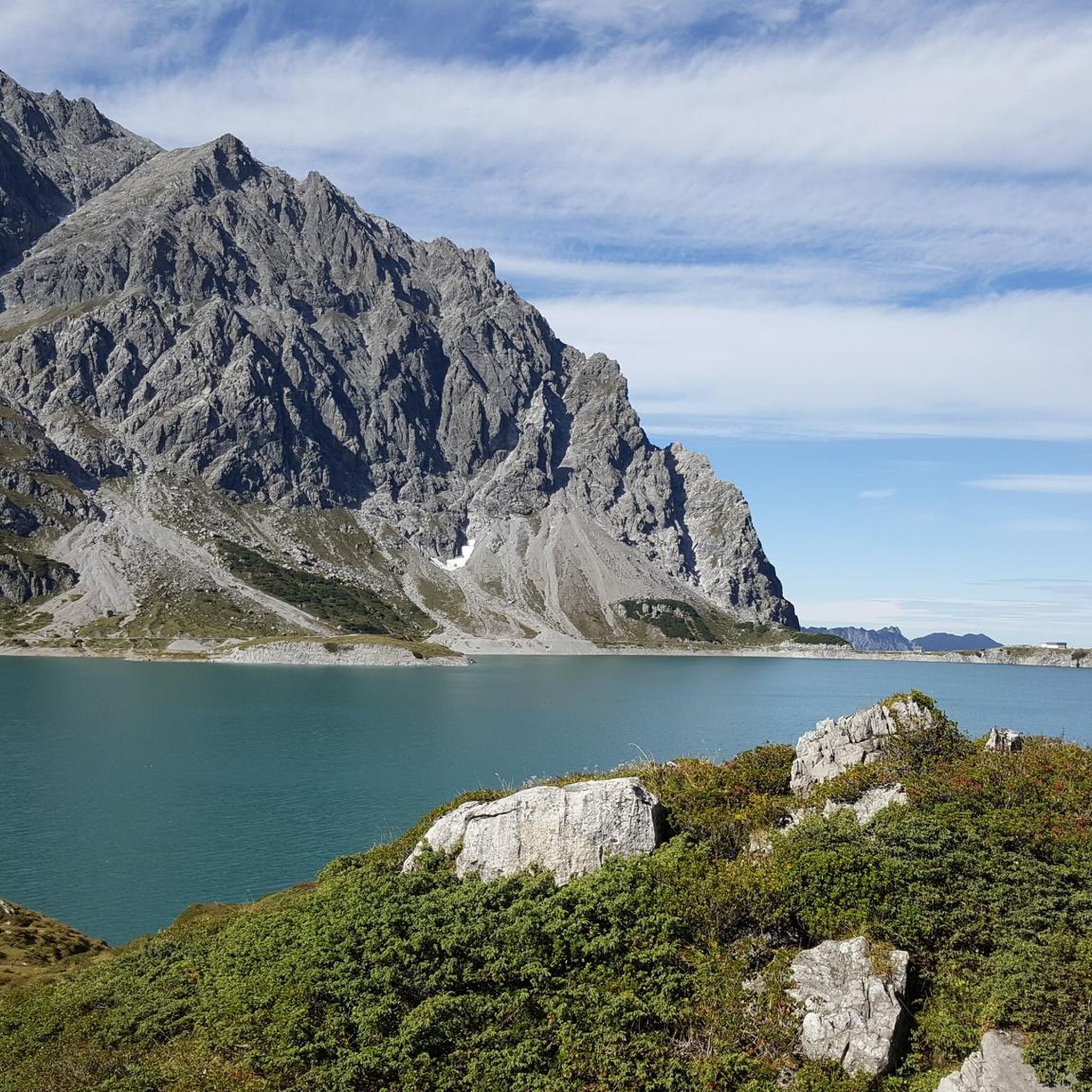
Road cycling in Geschützter Landschaftsteil Rellstal Und Lünerseegebiet features routes through alpine valleys and around high-altitude lakes. The region is characterized by significant elevation changes, with routes often following river courses or ascending into mountainous terrain. Road cyclists can expect varied landscapes, from forested sections to open vistas.
Best road cycling routes in Geschützter Landschaftsteil Rellstal Und Lünerseegebiet
- The most popular road cycling route is Old Sawmill Brand – Brandnertal Bike Park loop from Brand, a 15.5 miles (24.9…
Last updated: August 5, 2026
5.0
(2)
45
riders
24.5km
01:21
500m
500m
Moderate road ride. Good fitness required. Mostly well-paved surfaces and easy to ride.
5.0
(1)
35
riders
18.4km
00:59
230m
230m
Moderate road ride. Great for any fitness level. Some segments of this route may be unpaved and difficult to ride.

Sign up for free
150
riders
115km
04:45
700m
700m
Moderate road ride. Good fitness required. Some segments of this route may be unpaved and difficult to ride.
4.4
(7)
136
riders
130km
05:03
360m
360m
Hard road ride. Very good fitness required. Some segments of this route may be unpaved and difficult to ride.
5.0
(1)
14
riders
Easy road ride. Great for any fitness level. Mostly well-paved surfaces and easy to ride.
Get access to more routes and recommendations from other explorers.
Sign up for free
Already have an account?
Our route recommendations are based on thousands of hikes, rides, and runs completed by other people on komoot.
Start today with a free account
Your next adventure awaits.
Login or Signup
Popular around Geschützter Landschaftsteil Rellstal Und Lünerseegebiet
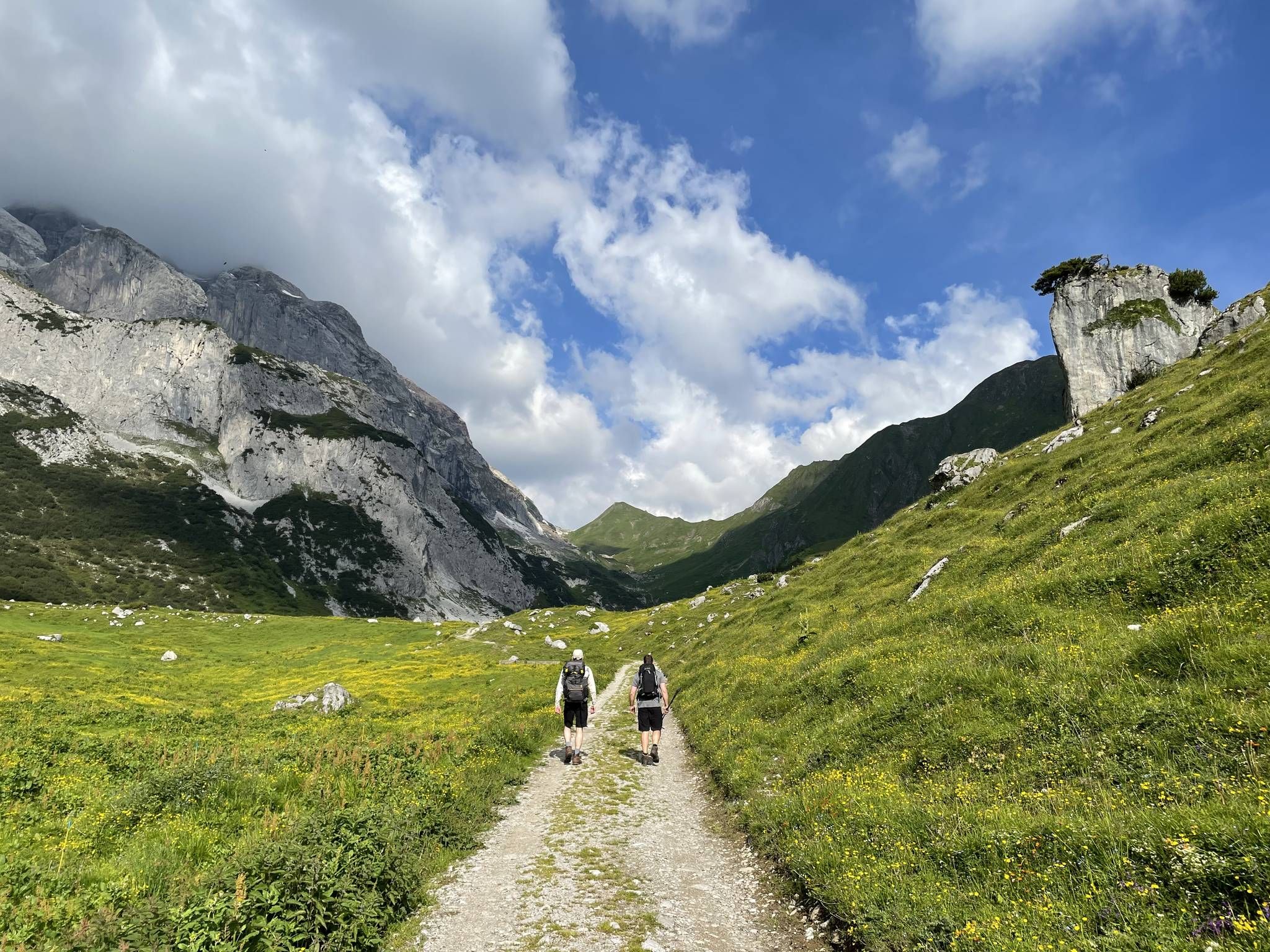
Montafon Hut-to-Hut Hiking Trail – 13 days in Western Austria
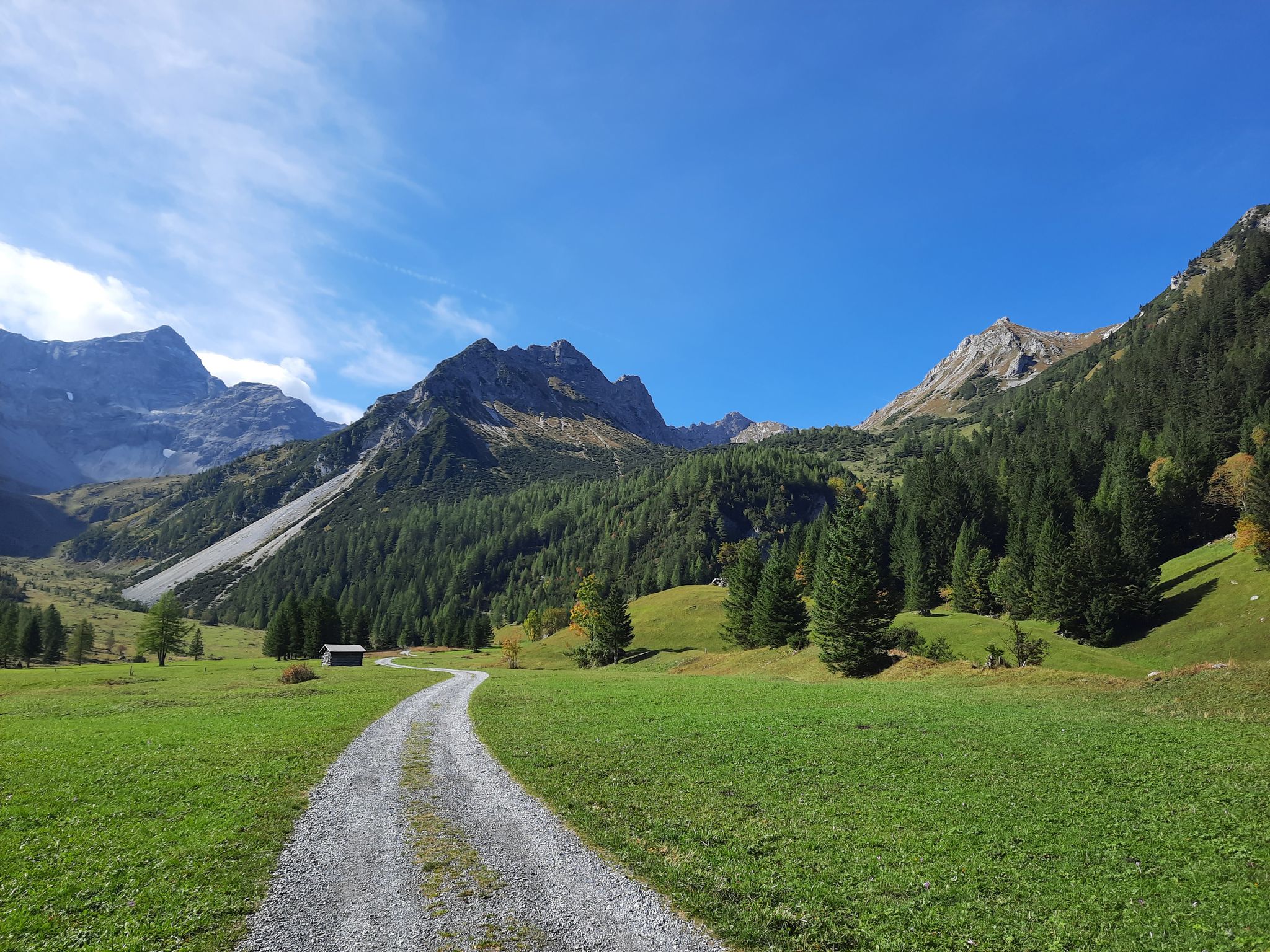
Autumn magic in Brandnertal – 6 hikes for the golden season
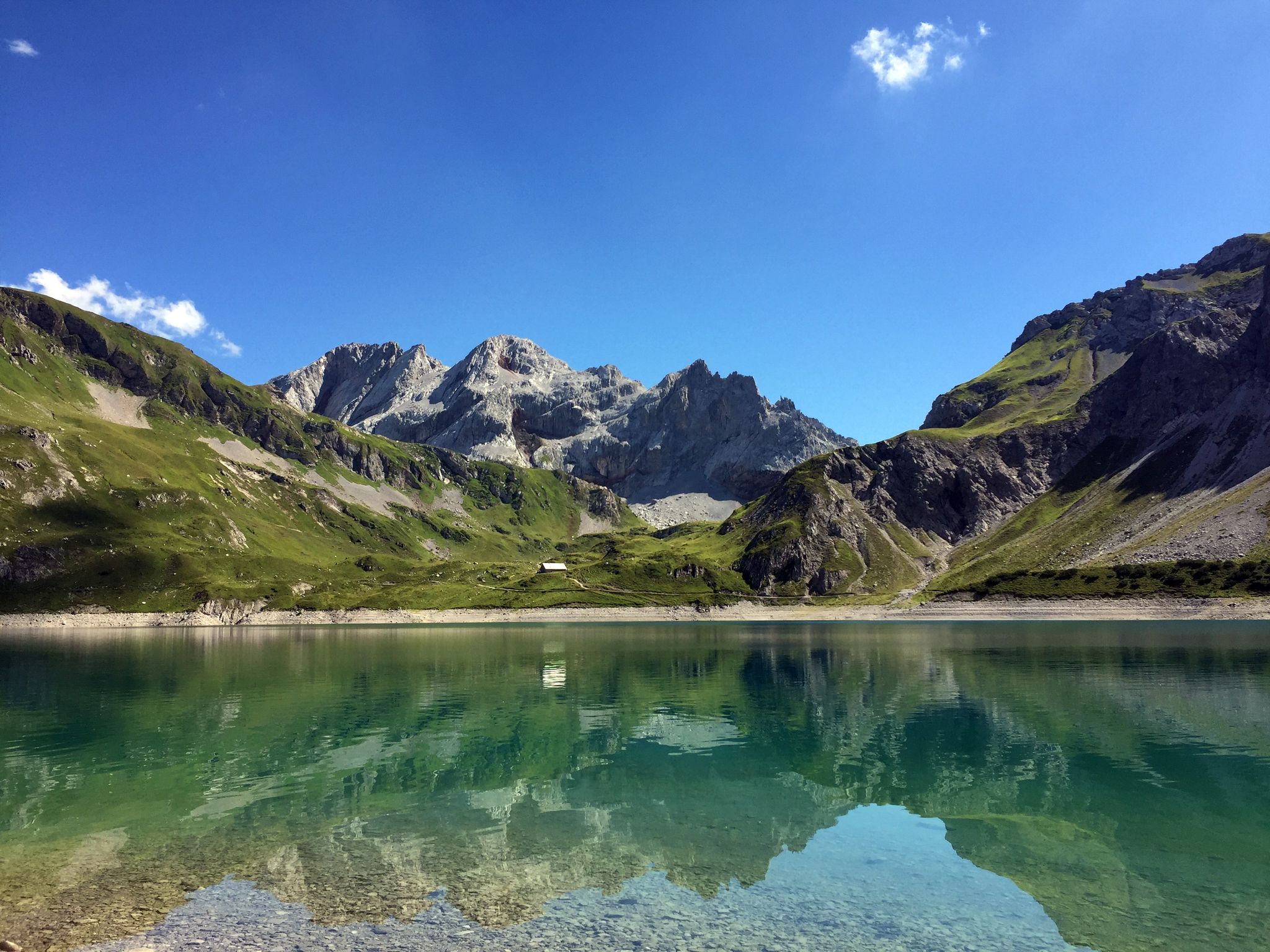
Mighty mountains and historic cities – hiking in Austria
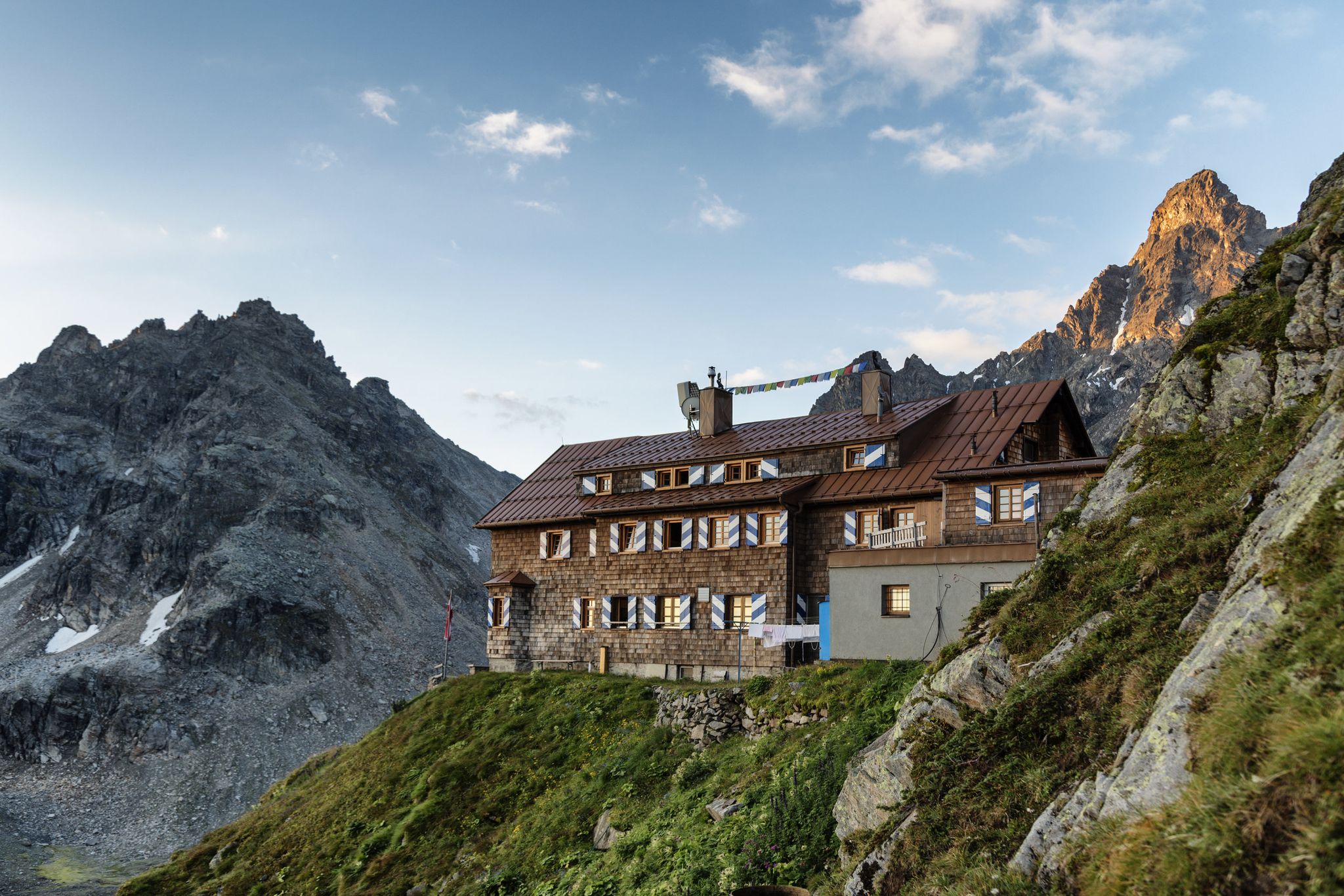
Alpenmosaik Montafon - The Montafoner Hüttenrunde
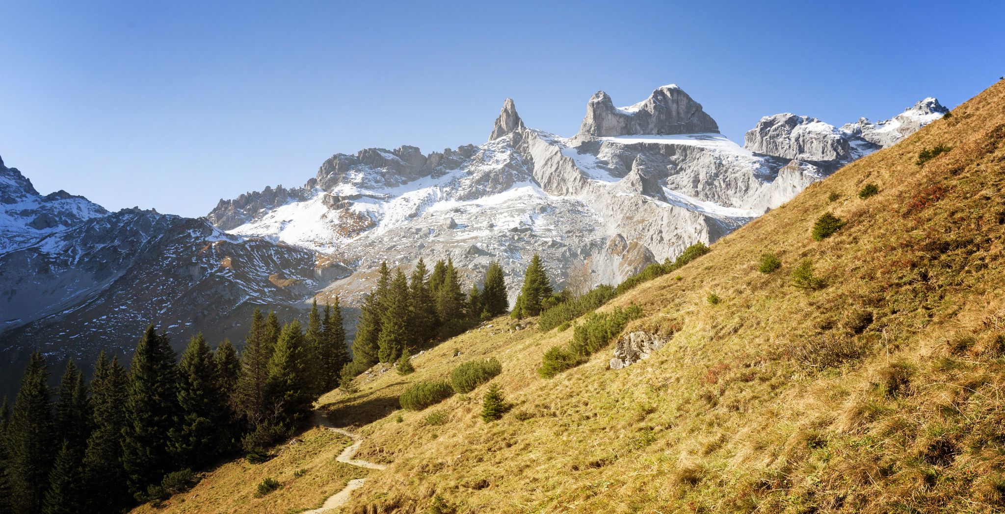
Alpine Mosaic Montafon — Austria’s Rätikon adventure area
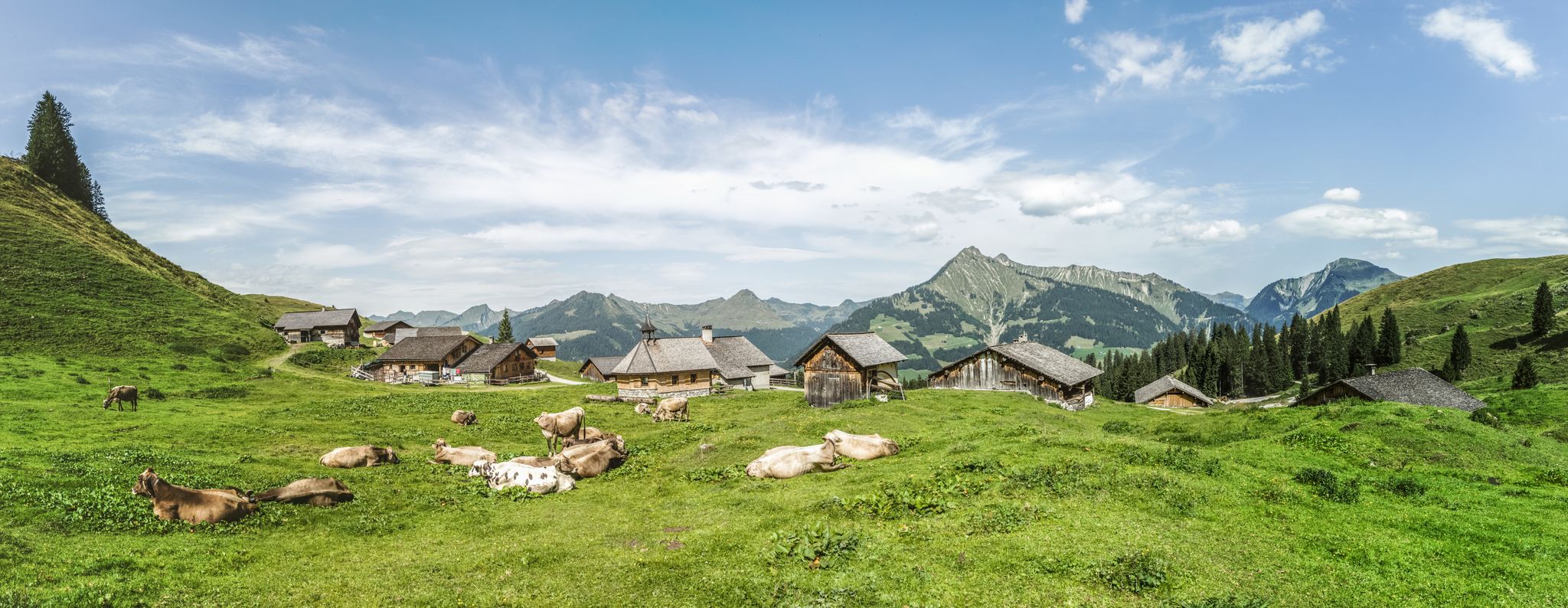
Fun on every path – alpine hiking in Austria’s Vorarlberg

An alpine adventure – from east to west through Austria
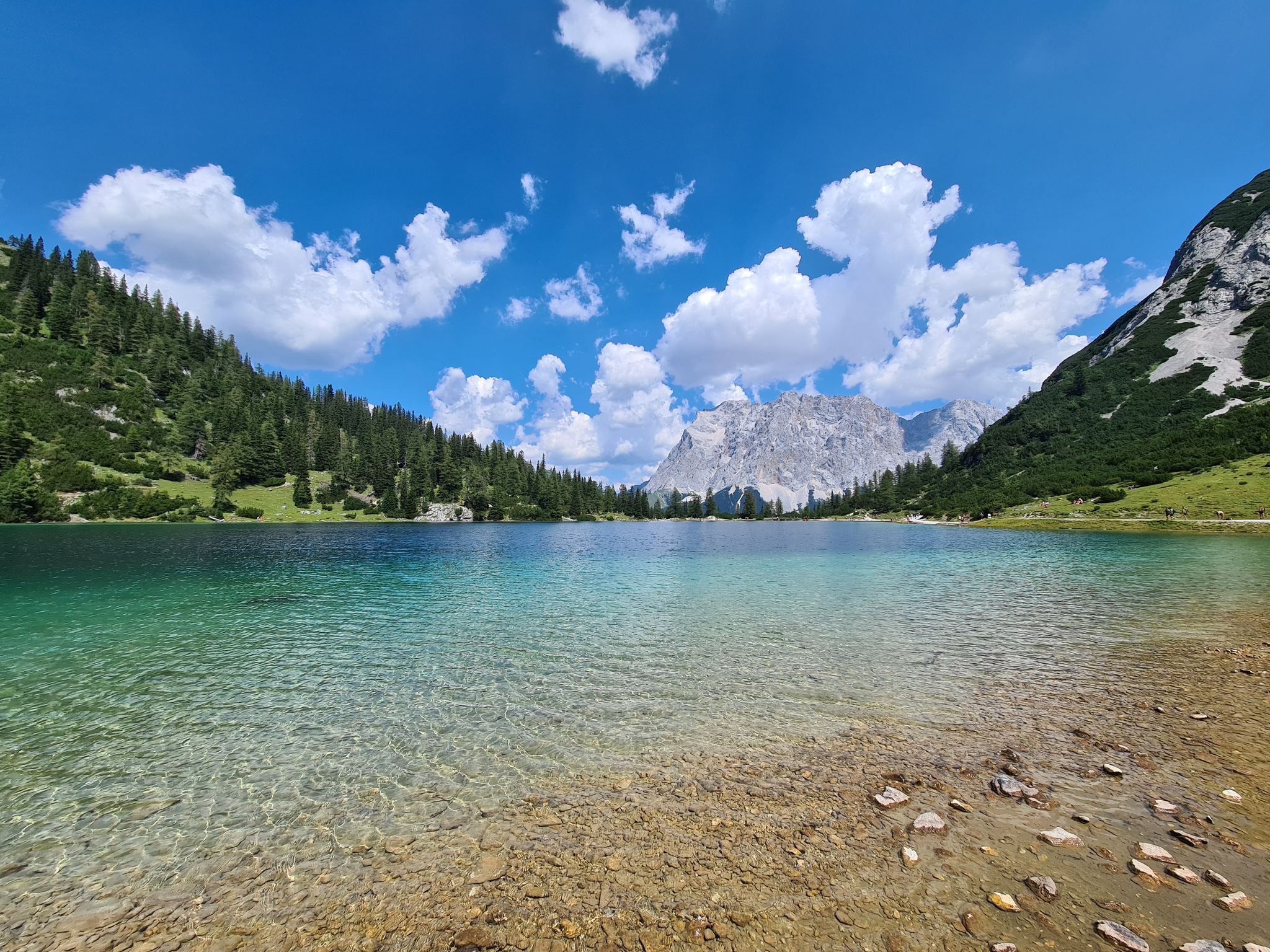
The most wonderful Alpine lakes
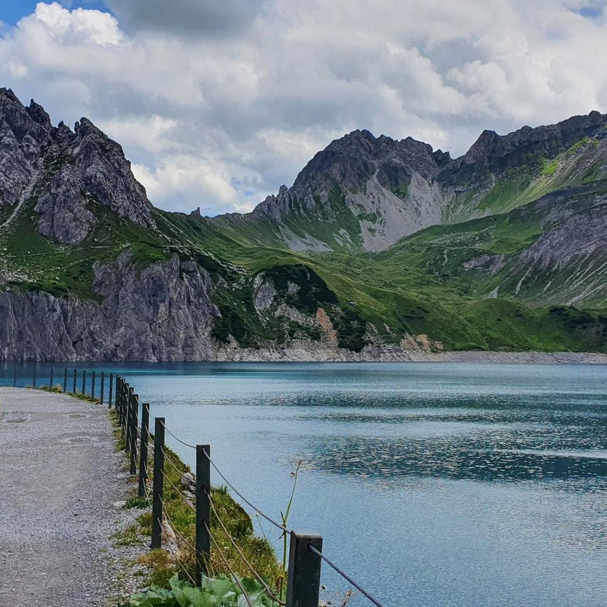
MTB Trails in Geschützter Landschaftsteil Rellstal Und Lünerseegebiet
Running Trails in Geschützter Landschaftsteil Rellstal Und Lünerseegebiet
Other adventures in Geschützter Landschaftsteil Rellstal Und Lünerseegebiet


Tips from the Community

Good place to take a break - careful, please don't disturb the anglers, to each their own hobby :-)
0
0

Here you will find a nice little square at the center of the hamlet of Lorüns with seating, a fountain, and a beautiful metal sculpture - a lovely place for a long break.
1
0
The parish church of St. John has stood in its present form since 1777. Before that, a chapel built in 1479 stood on this site, which was later expanded into its current form. In 1651, the church was elevated to an independent parish church. After the construction of the new parish church at the opposite end of the cemetery, this parish church was closed in 1960. After extensive structural restoration, the church was reopened and is now used as a burial church. Overall, it is a building that is a defining feature of the Vandanz townscape, exuding a special atmosphere against the backdrop of the mountains.
1
0

A magnificent, modern bridge between Hard and Fussach (completed in 2023) that provides a very comfortable, wide pedestrian and bicycle path to the Rhine crossing. Protected from car and bus traffic, several people can pass each other comfortably, whether by bike or on foot. Truly a wonderful thing!
4
0

Modern bridge over the new Rhine 😘
6
0

it's really beautiful here
0
0
here you are safe from cars
3
0

beautiful cycle path from Brand towards Bürs, alternatively only the road remains
0
0
Frequently Asked Questions
How many road cycling routes are available in Geschützter Landschaftsteil Rellstal Und Lünerseegebiet?
There are over 50 road cycling routes available in the region, catering to various skill levels and preferences.
Are there road cycling routes suitable for beginners or families?
Yes, the region offers 13 easy road cycling routes. For a moderate option that is generally accessible, consider the Alfenz Cycle Bridge – Venser Bild Pilgrimage Chapel loop from Lorüns, which is 11.5 miles long and follows the Alfenz river.
What kind of terrain can I expect on road cycling routes in this region?
Road cycling in Geschützter Landschaftsteil Rellstal Und Lünerseegebiet features routes through alpine valleys and around high-altitude lakes. You can expect significant elevation changes, with routes often following river courses or ascending into mountainous terrain, offering varied landscapes from forested sections to open vistas.
Are there challenging road cycling routes for experienced cyclists?
Absolutely. The region has 13 difficult routes for experienced cyclists. A challenging option is the Rifasperre Reservoir – Covered Bridge Over the Ill loop from Vandans, a 50-mile trail with significant elevation gain, typically taking over 4 hours to complete.
What is the best season for road biking in Geschützter Landschaftsteil Rellstal Und Lünerseegebiet?
The best season for road biking in this alpine region is typically from late spring through early autumn (May to October), when mountain passes are clear of snow and weather conditions are most stable. Always check local weather forecasts before heading out.
Are there any scenic viewpoints or attractions along the road cycling routes?
Yes, the region is rich in natural beauty. You can find stunning views of Lünersee from Lünerkrinne, explore the Lünersee South Shore, or pass by the Douglass Hut at Lake Lünersee. Many routes offer picturesque landscapes.
Are there loop road cycling trails available?
Yes, many routes in the region are designed as loops, allowing you to start and finish at the same point. For example, the popular Old Sawmill Brand – Brandnertal Bike Park loop from Brand is a 15.5-mile loop offering varied terrain.
What do other road cyclists enjoy most about road cycling in Geschützter Landschaftsteil Rellstal Und Lünerseegebiet?
The area is highly rated by the komoot community, with an average score of 4.4 stars from over 230 reviews. Reviewers often praise the diverse alpine landscapes, the well-maintained routes, and the rewarding climbs and descents.
What are the typical lengths and durations of road cycling routes in the Lünerseegebiet area?
Route lengths and durations vary significantly. You can find shorter, moderate rides like the Old Sawmill Brand – Brandnertal Bike Park loop from Brand, which is 15.5 miles and takes about 1 hour 23 minutes. Longer, more challenging routes, such as the Covered Bridge Over the Ill – Rifasperre Reservoir loop from Lorüns, can extend to nearly 93 miles and take over 7 hours.
Are there any routes that pass by lakes?
Yes, several routes incorporate the region's beautiful lakes. The Lake Nachbauer – Lake Galina loop from Vandans is a notable example, covering over 71 miles and offering views of multiple lakes.
What are some of the longer road cycling routes available?
For longer rides, consider the Covered Bridge Over the Ill – Rifasperre Reservoir loop from Lorüns, which spans nearly 93 miles (149 km) and involves significant elevation, making it a full-day adventure for experienced cyclists.
Most popular routes in Geschützter Landschaftsteil Rellstal Und Lünerseegebiet
Most popular attractions in Geschützter Landschaftsteil Rellstal Und Lünerseegebiet

Get inspired with the komoot mobile app


Explore more
Browse the best Road cycling routes in other regions.
