Wildruhefläche Ankerschlag
Wildruhefläche Ankerschlag
The best running trails in Wildruhefläche Ankerschlag
4.6
(379)
9,448
runners
210
runs
Jogging routes in Wildruhefläche Ankerschlag traverse a diverse landscape characterized by accessible paths and a tranquil natural environment. The region features picturesque lakes like Kaltwassersee and offers panoramic views of the Tyrolean mountains, including the Wetterstein and Karwendel ranges. Elevation changes vary, with routes ranging from gentle loops to more challenging mountain paths, all within a designated wildlife rest area.
Best jogging routes in Wildruhefläche Ankerschlag
- The most popular jogging route is ZUT-V6 – Martina Glagow Park loop from Gießenbach…
Last updated: November 15, 2026
3.7
(3)
59
runners
23.4km
02:29
180m
180m
Hard run. Very good fitness required. Mostly paved surfaces.
4.0
(1)
19
runners
6.47km
00:41
50m
50m
Moderate run. Good fitness required. Mostly paved surfaces.

12
runners
14.8km
01:36
170m
170m
Moderate run. Good fitness required. Mostly paved surfaces.
4.9
(8)
303
runners
Easy run. Mostly paved surfaces.
4.7
(6)
139
runners
Moderate run. Good fitness required. Mostly paved surfaces.
Get access to more routes and recommendations from other explorers.
Already have an account?
Our route recommendations are based on thousands of hikes, rides, and runs completed by other people on komoot.
Start today with a free account
Your next adventure awaits.
Popular around Wildruhefläche Ankerschlag
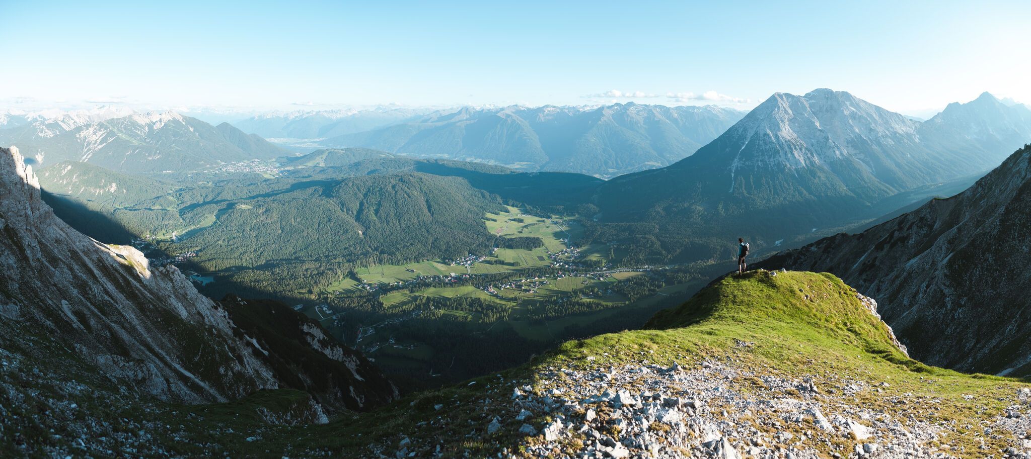
On the Seefelder Plateau
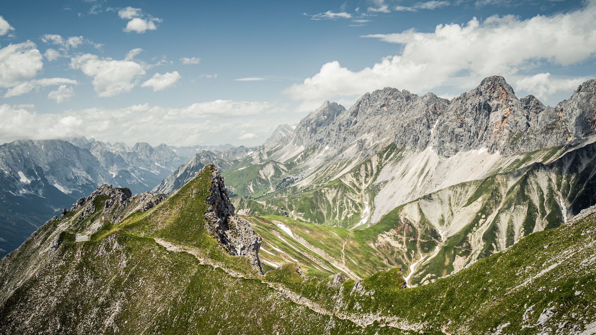
Hoch hinaus – die schönsten Gipfeltouren in der Region Seefeld
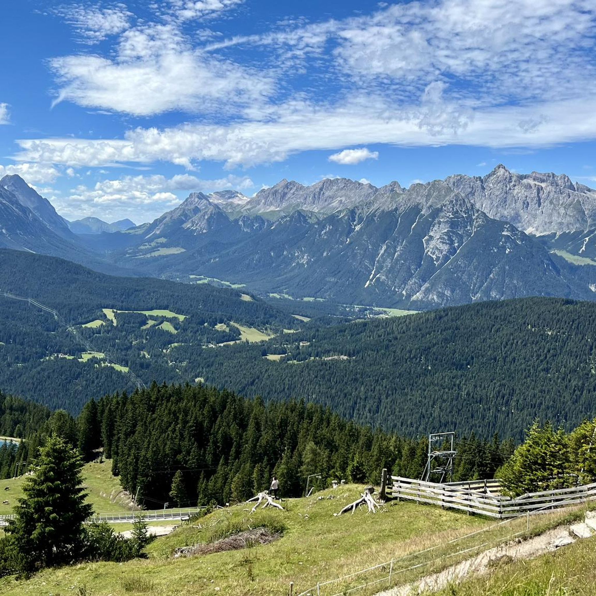
Hiking in Wildruhefläche Ankerschlag

Road Cycling Routes in Wildruhefläche Ankerschlag
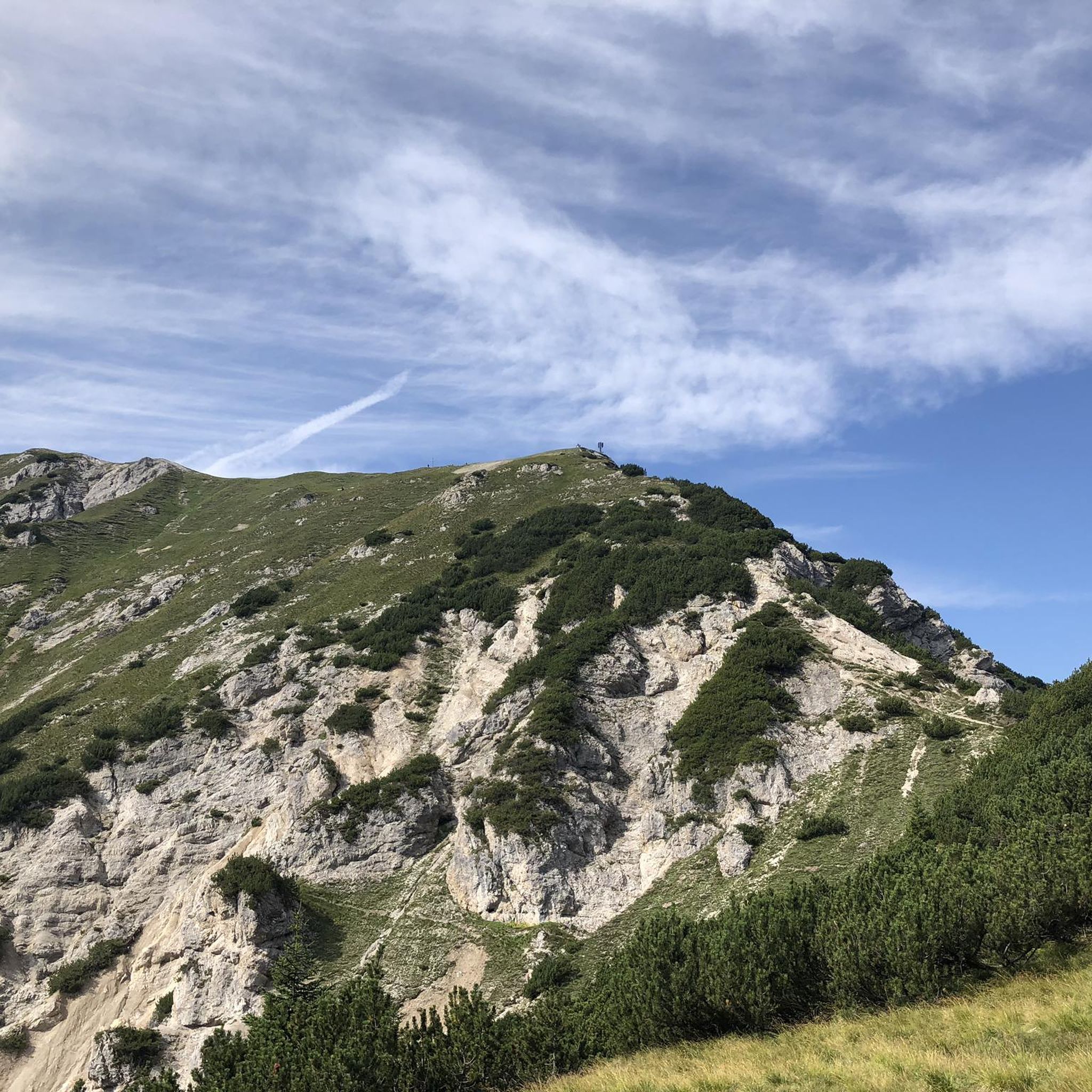
MTB Trails in Wildruhefläche Ankerschlag
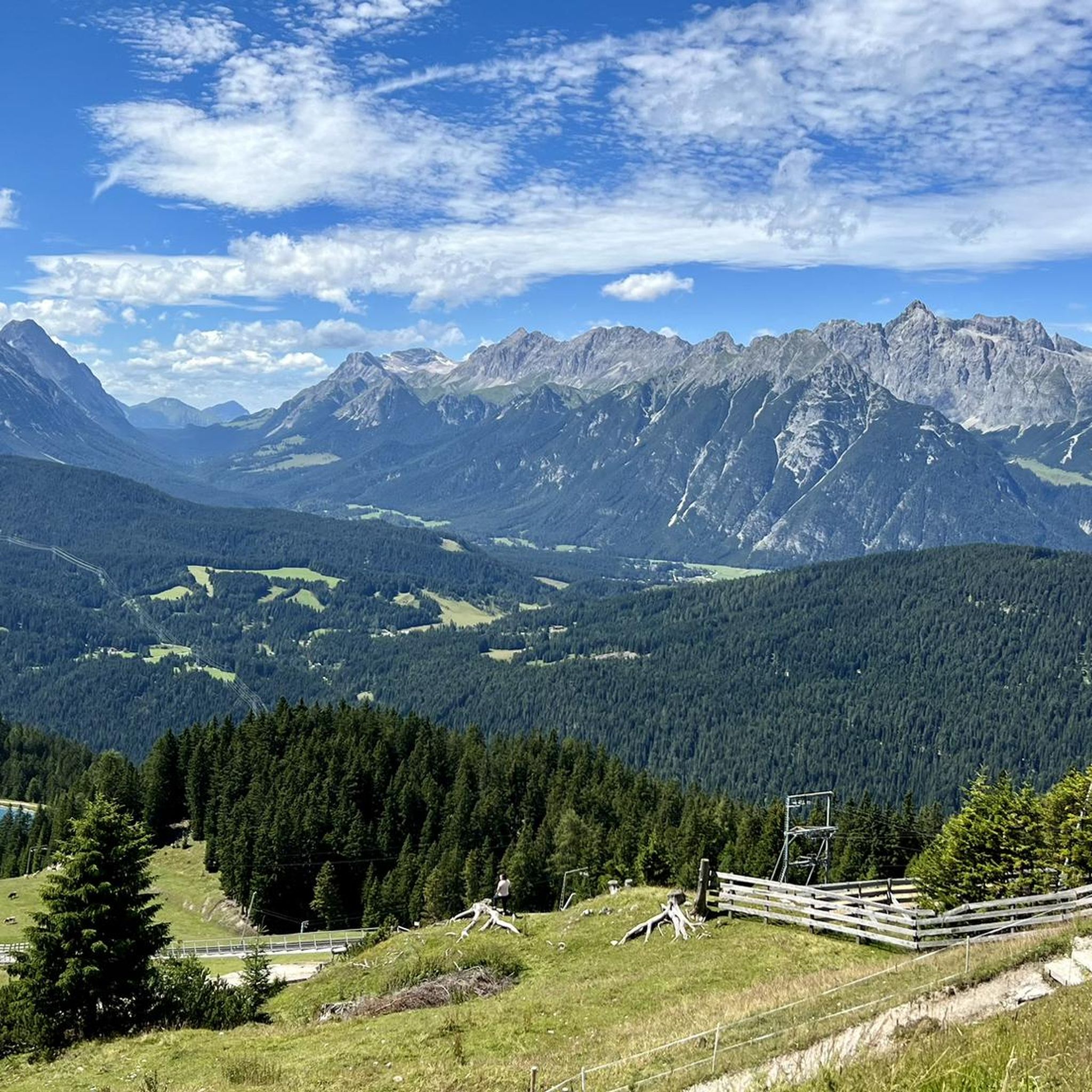
Mountain Hikes in Wildruhefläche Ankerschlag
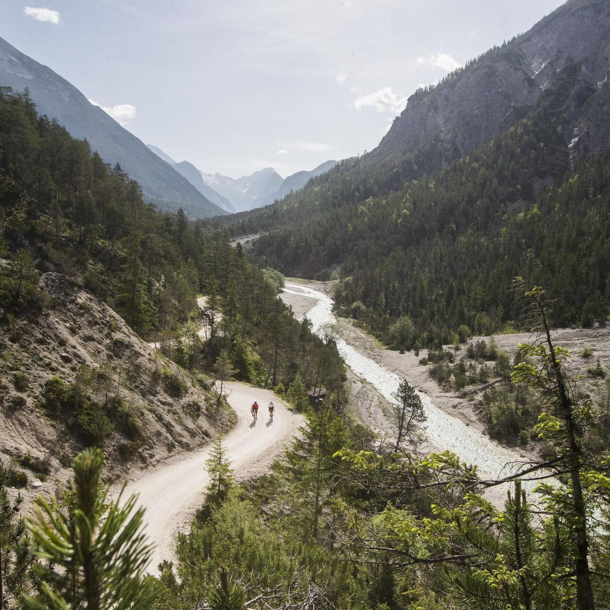
Gravel biking in Wildruhefläche Ankerschlag
Cycling in Wildruhefläche Ankerschlag

Tips from the Community

Exactly the right place for a break. Unfortunately, it was in hibernation when I visited. https://www.triendlsaege.at/
0
0
One of the green lungs of the city. https://www.merkur.de/lokales/park-martina-glagow-284710.html
0
0
Located on a high plateau, which means few meters of elevation gain. WHO BELIEVES THAT!!! https://www.seefeld.com/de/seefeld.html
0
0
Here you can let your soul dangle.
0
0

…a beautiful destination for an excursion in a magnificent mountain setting 👀
2
0

The raftsmen's monument in Mittenwald commemorates the centuries-old tradition of rafting on the Isar. Wood and goods were formerly transported on rafts via the Isar to Munich and beyond.
1
0
Very impressive view of the surrounding mountains.
0
0
Frequently Asked Questions
How many running routes are available in Wildruhefläche Ankerschlag?
Wildruhefläche Ankerschlag offers a wide variety of running experiences, with over 200 routes to choose from. These range from easy, leisurely jogs to more challenging mountain runs, catering to all fitness levels.
What makes Wildruhefläche Ankerschlag a good place for jogging?
This region is ideal for running due to its tranquil natural environment and easily accessible paths. As a designated wildlife rest area, it provides a peaceful setting. You'll find diverse and picturesque landscapes, including stunning mountain views and serene lakes, all on well-maintained, non-technical trails.
Are there easy running trails suitable for beginners or families?
Yes, Wildruhefläche Ankerschlag is very welcoming for beginners and families. There are 14 easy routes designed for any fitness level, featuring gentle loops and easily accessible paths. These trails ensure a comfortable and enjoyable experience for everyone.
What kind of scenery can I expect while running in Wildruhefläche Ankerschlag?
Runners can enjoy breathtaking views of the Tyrolean mountains, including the Wetterstein and Karwendel ranges, the distinctive Hohe Munde peak, and even the Zugspitze on clear days. The area also features picturesque lakes like Kaltwassersee and routes leading through alpine pastures and forests.
Are there any specific landmarks or viewpoints along the running routes?
Absolutely! Many routes offer stunning sights. You can pass by the Rosshütte Mountain Station, which serves as a gateway to many trails and offers panoramic views. Other notable points include the Seefelder Joch Summit & Panoramic Viewpoint and the unique Feng Shui Power Bench.
Can I find shorter running loops in the area?
Yes, if you're looking for a shorter, less strenuous option, the Running loop from Boden-Niederlög is a great choice. This moderate 6.4 km path provides a pleasant jog through the local landscape.
Are there challenging routes for experienced runners?
For experienced runners seeking a challenge, Wildruhefläche Ankerschlag offers 86 difficult routes. An example is the ZUT-V6 – Martina Glagow Park loop from Gießenbach, a 23.3 km trail with varied terrain, or the Bodenalm – Triendlsäge loop from Gießenbach, a 15.2 km trail through alpine pastures and forest.
What do other runners enjoy the most about jogging in Wildruhefläche Ankerschlag?
The area is highly rated by the komoot community, with an average score of 4.6 stars from over 300 reviews. Reviewers often praise the accessible paths, the tranquil environment of the wildlife rest area, and the stunning panoramic views of the Tyrolean mountains.
Are there any routes that offer significant elevation gain for a good workout?
Certainly! For those looking to challenge themselves with elevation, the Hocheggalm – Rosshütte Mountain Station loop from Rosshütte-Standseilbahn Talstation is an excellent option. This 7.9 km route features over 500 meters of elevation gain, providing a demanding and rewarding run.
Can I find long-distance running trails in Wildruhefläche Ankerschlag?
Yes, for longer runs, you can explore routes like the Rooty Forest Singletrack – Bodenalm loop from Rosshütte-Standseilbahn Talstation. This difficult trail spans nearly 24 km, offering an extensive running experience through diverse landscapes.
Is Wildruhefläche Ankerschlag suitable for trail running?
Yes, the region's diverse terrain, including forest paths and alpine trails, makes it suitable for trail running. While many paths are well-maintained and non-technical, there are also more rugged sections, especially on the difficult routes, that provide a true trail running experience.
Most popular routes in Wildruhefläche Ankerschlag
Most popular attractions in Wildruhefläche Ankerschlag

Get inspired with the komoot mobile app


Explore more
Browse the best Running Trails & Routes in other regions.
