Ammertal Im Bereich Der Ammerleite Und Talbachhänge
Ammertal Im Bereich Der Ammerleite Und Talbachhänge
The best cycling routes in Ammertal Im Bereich Der Ammerleite Und Talbachhänge
4.6
(3243)
19,893
riders
436
rides
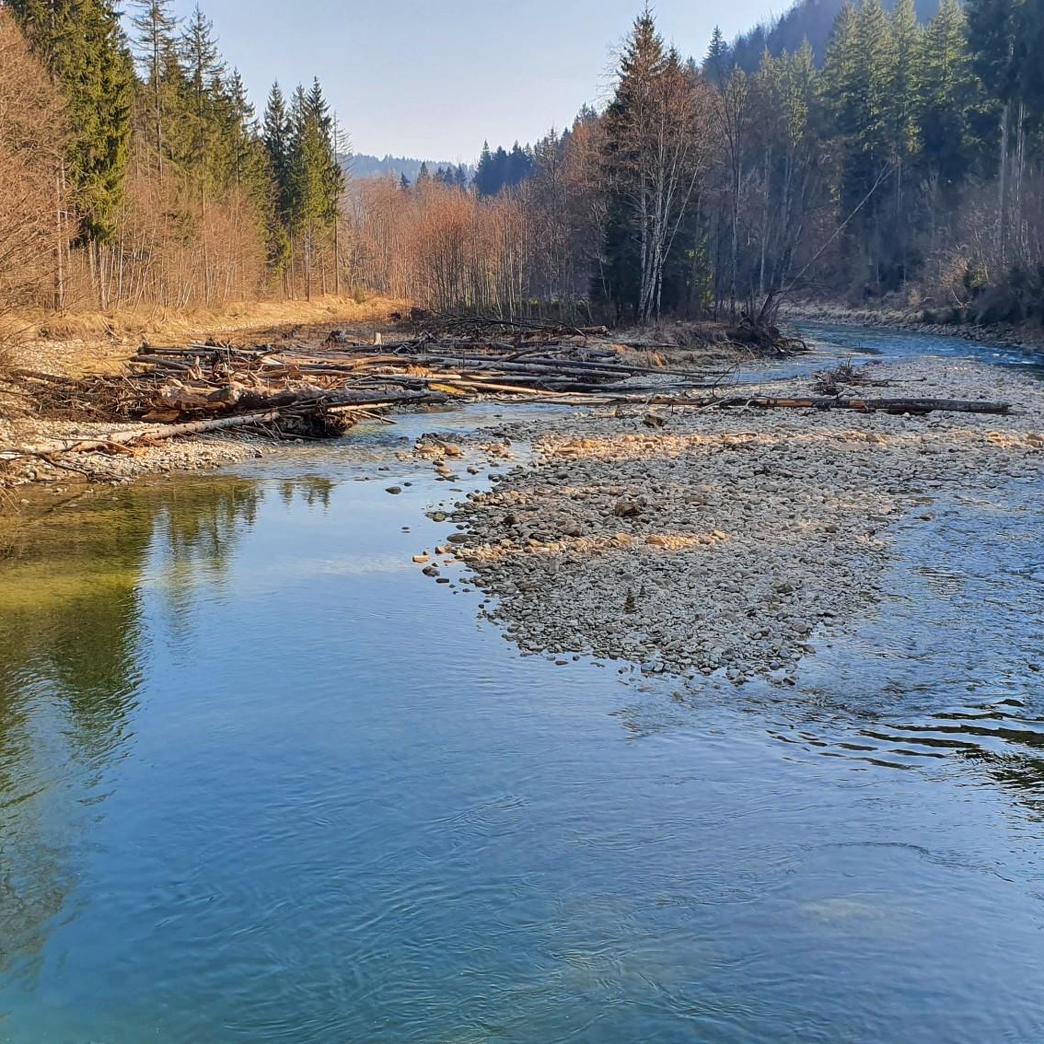
Touring cycling in Ammertal Im Bereich Der Ammerleite Und Talbachhänge offers routes through a diverse natural landscape, much of which is protected within the Ammergau Alps Nature Park. The region features the Ammer River, with its riverine landscapes and the Ammerschlucht Gorge, characterized by steep hillside forests. Cyclists can navigate a mix of paved and unpaved paths, including sections through lush meadows and along the Talbachhänge. The terrain includes valley paths and routes with moderate elevation changes.
Best touring cycling routes in Ammertal Im Bereich Der Ammerleite Und Talbachhänge
- The most popular touring cycling route is View of Wieskirche – Unterreithen–Prem Cycle Path loop from Rottenbuch, a 29.7 miles (47.7 km) trail that takes 3 hours 6 minutes to complete. This difficult route offers expansive views of the surrounding countryside.
- Another top favourite among local touring cyclists is St. Agatha in Uffing – View of the Lake loop from Rottenbuch, a moderate 27.2 miles (43.8 km) path. This route features scenic views of lakes and local landmarks.
- Local touring cyclists also love the Böbing Water Point – Steinle Chapel Kirnberg loop from Böbing, a 10.1 miles (16.3 km) trail leading through varied landscapes, often completed in about 1 hour 16 minutes.
- Touring cycling in Ammertal Im Bereich Der Ammerleite Und Talbachhänge is defined by river valleys, hillside forests, and open meadows. The extensive network of routes offers options for different ability levels, from easy valley paths to more challenging climbs.
- The routes in Ammertal Im Bereich Der Ammerleite Und Talbachhänge are highly rated by the komoot community with an average score of 4.6 stars from over 2800 reviews. More than 20000 touring cyclists have used komoot to explore Ammertal Im Bereich Der Ammerleite Und Talbachhänge's varied terrain.
Last updated: November 7, 2026
4.8
(5)
28
riders
48.0km
03:08
520m
520m
Hard bike ride. Very good fitness required. Mostly paved surfaces.
4.7
(16)
79
riders
49.8km
03:15
490m
490m
Hard bike ride. Very good fitness required. Mostly paved surfaces.

4.5
(6)
52
riders
26.8km
01:46
250m
250m
Hard bike ride. Good fitness required. You may need to push your bike for some segments of this route.
4.3
(4)
26
riders
43.0km
02:39
430m
430m
Moderate bike ride. Good fitness required. Mostly paved surfaces.
4.7
(3)
17
riders
16.3km
01:16
210m
200m
Moderate bike ride. Good fitness required. Mostly paved surfaces.
Get access to more routes and recommendations from other explorers.
Already have an account?
Our route recommendations are based on thousands of hikes, rides, and runs completed by other people on komoot.
Start today with a free account
Your next adventure awaits.
Popular around Ammertal Im Bereich Der Ammerleite Und Talbachhänge
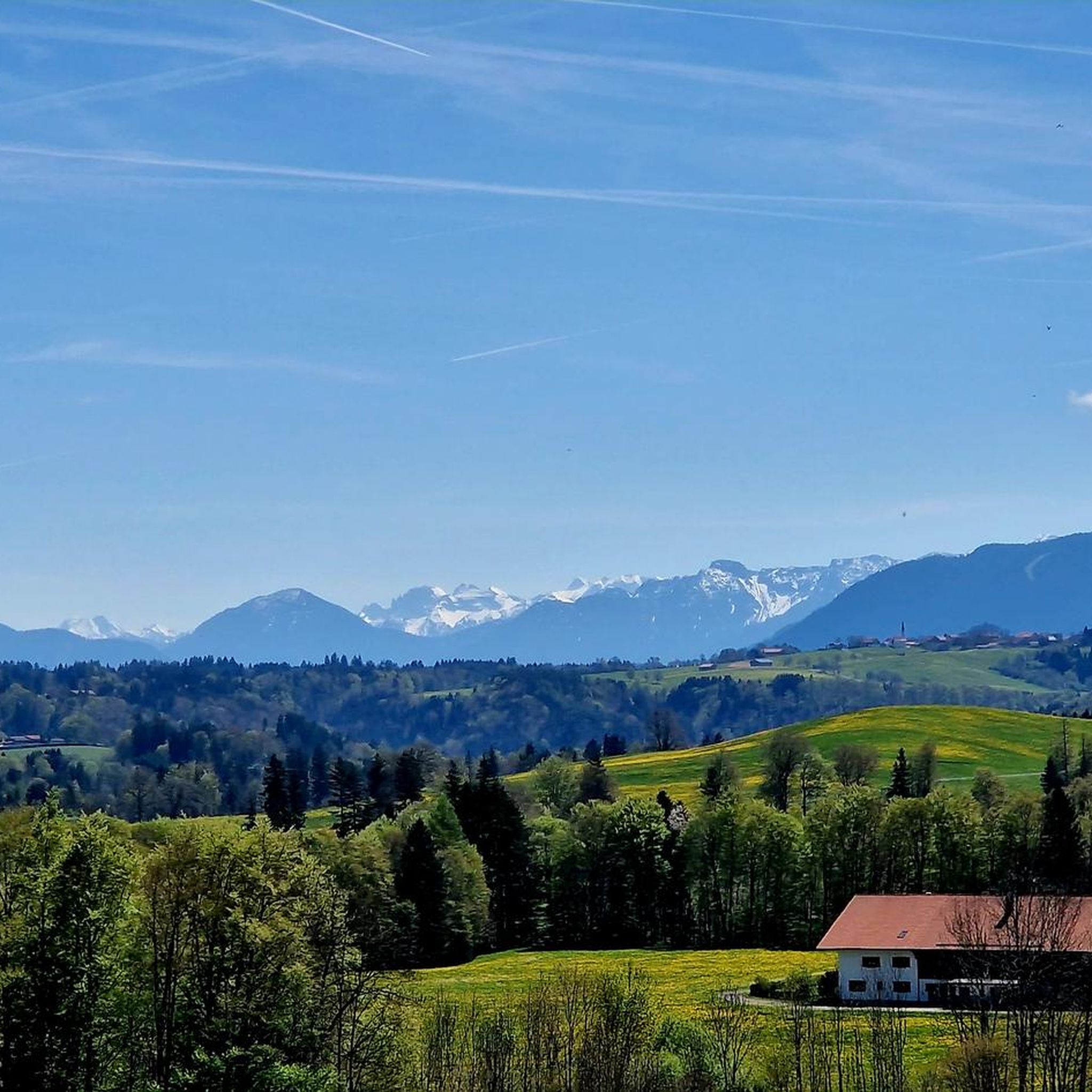
Hiking in Ammertal Im Bereich Der Ammerleite Und Talbachhänge
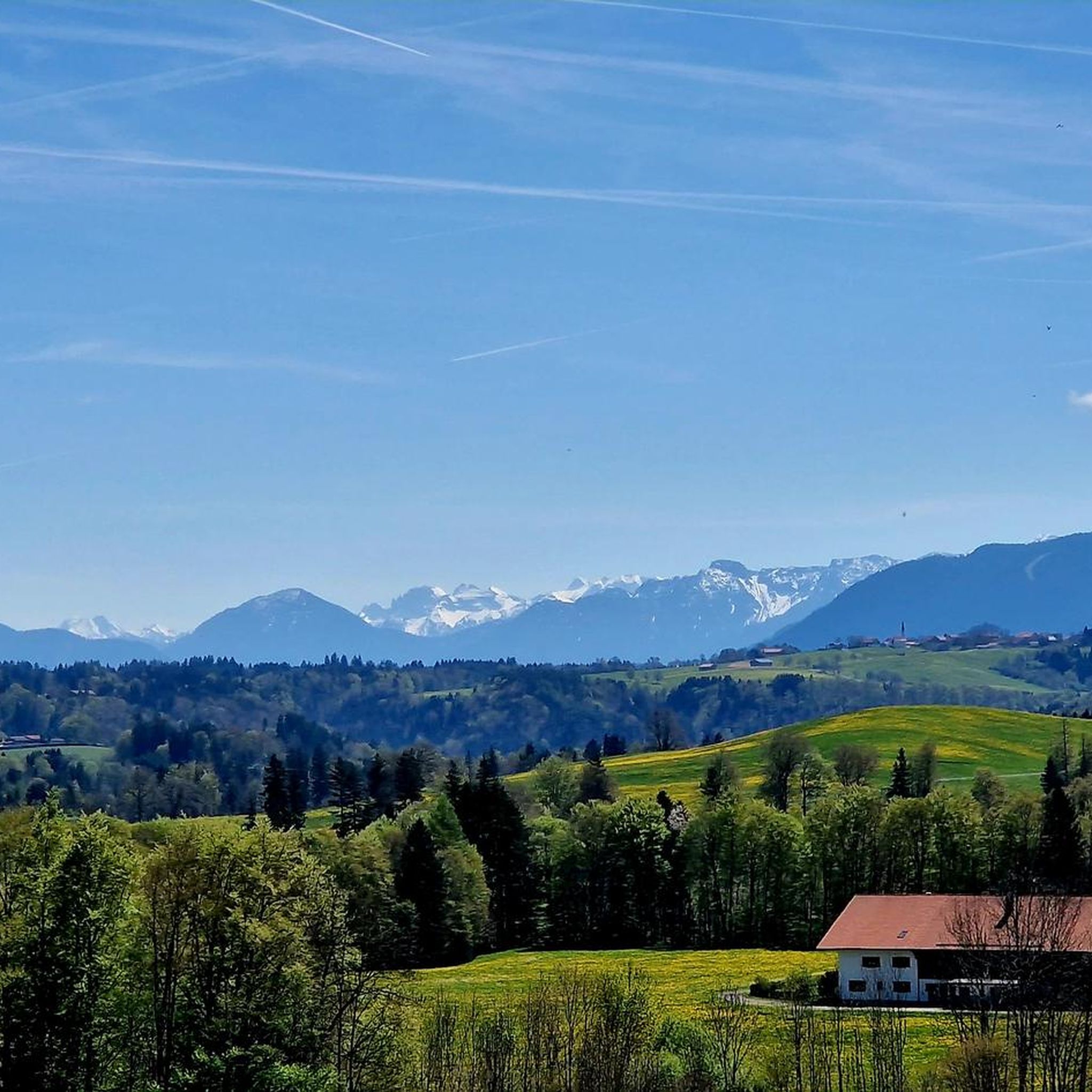
Road Cycling Routes in Ammertal Im Bereich Der Ammerleite Und Talbachhänge
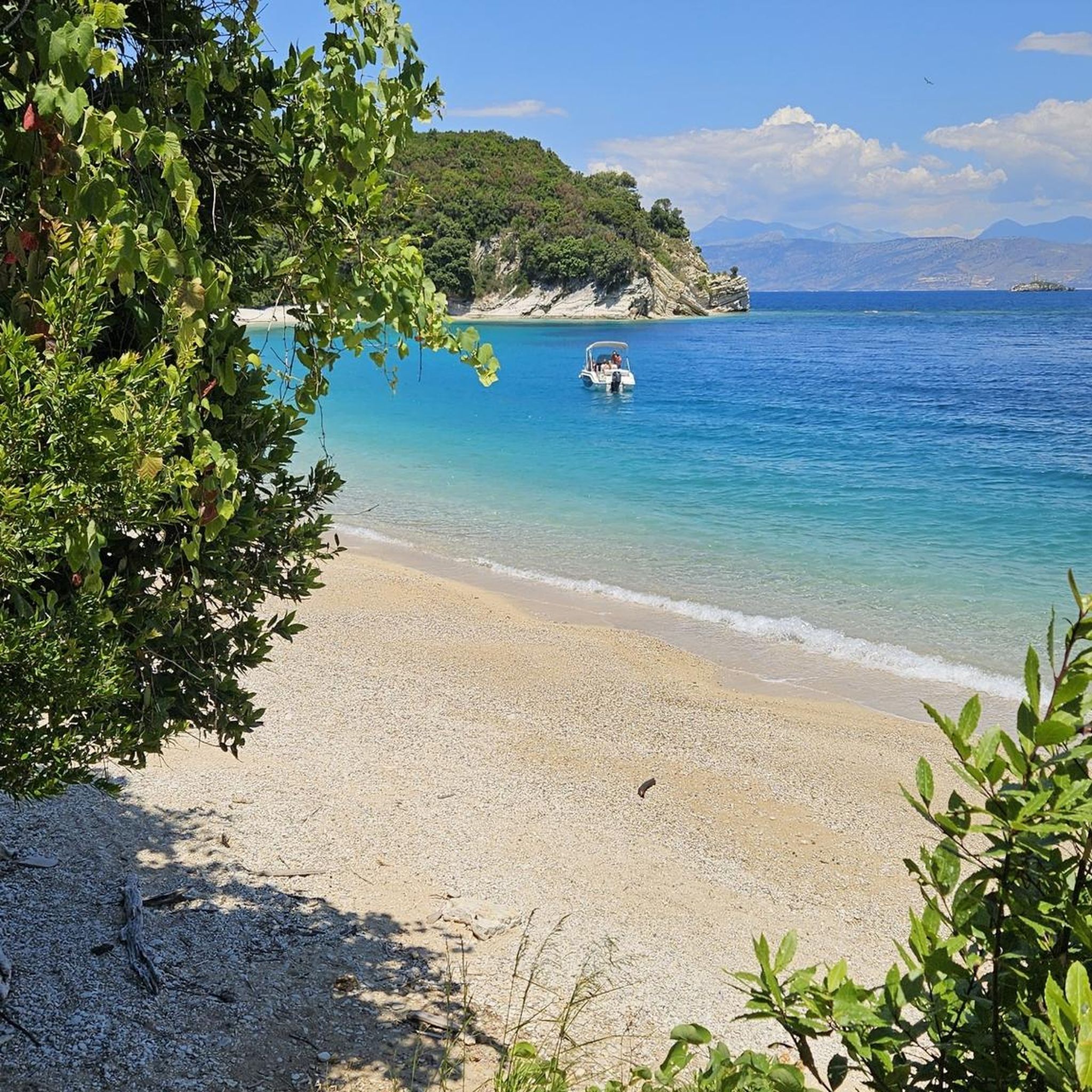
Gravel biking in Ammertal Im Bereich Der Ammerleite Und Talbachhänge
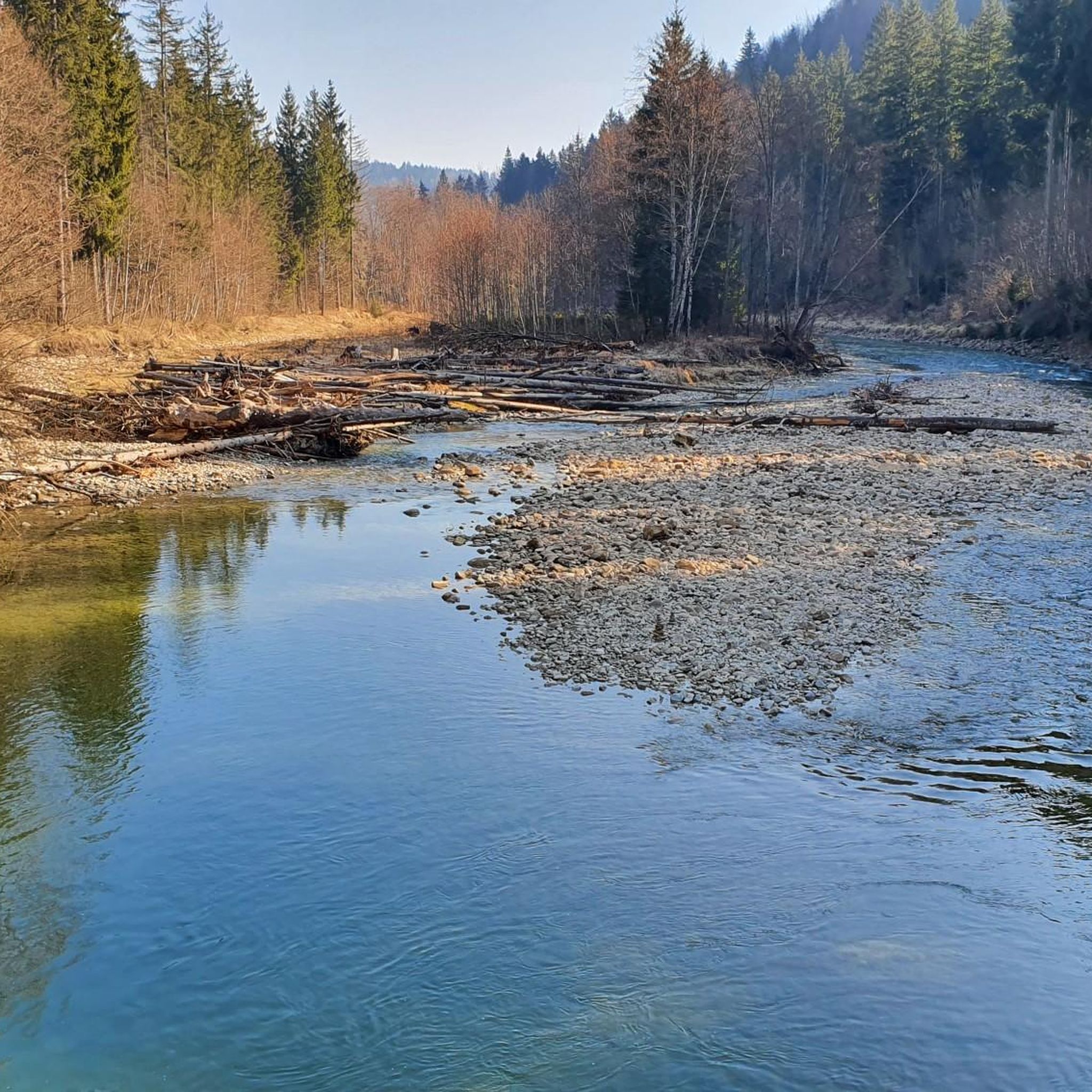
MTB Trails in Ammertal Im Bereich Der Ammerleite Und Talbachhänge
Running Trails in Ammertal Im Bereich Der Ammerleite Und Talbachhänge

Mountain Hikes in Ammertal Im Bereich Der Ammerleite Und Talbachhänge
Tips from the Community


Magnificent view of the mountains.
1
0

Beautiful view of the Staffelsee from up here.
0
0
Beautiful view over the Staffelsee and the mountains
0
0

Beautiful cycle path, totally rural.
0
0
Simply super beautiful here through the moorland
0
0
A great route through the forest directly along the lake, very pleasant to cycle or walk.
0
0

Staffelsee with Ammergebirge panorama
1
0
Frequently Asked Questions
How many touring cycling routes are available in Ammertal Im Bereich Der Ammerleite Und Talbachhänge?
There are over 380 touring cycling routes in Ammertal Im Bereich Der Ammerleite Und Talbachhänge. These routes cater to various skill levels, with 83 easy, 162 moderate, and 143 difficult options.
What kind of terrain can I expect on touring cycling routes in this region?
The region offers a diverse mix of terrain. You'll find well-developed valley paths along the Ammer River, sections through steep hillside forests, and open meadows. Routes include both paved (around 65%) and unpaved roads (around 28%), with asphalt and gravel sections, providing variety for different cycling styles.
Are there any family-friendly touring cycling routes in Ammertal Im Bereich Der Ammerleite Und Talbachhänge?
Yes, the Ammertal is ideal for families. Many well-developed valley paths along the Ammer River and cycle paths around towns like Saulgrub, Bad Bayersoien, and Bad Kohlgrub are suitable for family outings. The Cheese-Making Demonstration at Schönegger Käse-Alm – Pfaffenwinkel Milk Trail loop from Rottenbuch is an easy route perfect for a shorter family ride.
What cultural landmarks or natural attractions can I visit while cycling?
The region is rich in attractions. You can cycle to significant cultural landmarks such as Linderhof Palace, Ettal Monastery, and Oberammergau. Natural highlights include the stunning Ammerschlucht Gorge Trail, the unique Sinter terraces in the Ammerschlucht, and the Kalkofensteg Wooden Bridge over the Ammer River.
Are there any circular touring cycling routes available?
Yes, many routes are designed as loops. For example, the Böbing Water Point – Steinle Chapel Kirnberg loop from Böbing is a moderate 16.3 km circular trail that takes about 1 hour 16 minutes to complete, offering varied landscapes.
What is the best time of year for touring cycling in Ammertal Im Bereich Der Ammerleite Und Talbachhänge?
The Ammergau Alps Nature Park, which encompasses Ammertal, is generally best for cycling from spring through autumn. The mild weather and lush landscapes make these seasons ideal for exploring the extensive network of trails.
Can I bring my dog on the cycling trails?
While the region is generally dog-friendly, specific rules may apply within the 'Naturschutzgebiet Ammertal im Bereich der Ammerleite und Talbachhänge' nature reserve. It's always best to keep dogs on a leash, especially in protected areas, and to check local signage for any restrictions on specific paths.
Are there options for bike rentals or guided tours?
Yes, visitors can rent bikes, including e-bikes, in the Ammergau Alps Nature Park region. Guided cycling tours are also available, making it accessible even for those without their own equipment or who prefer a guided experience.
What do other touring cyclists say about the routes in Ammertal Im Bereich Der Ammerleite Und Talbachhänge?
The routes in Ammertal Im Bereich Der Ammerleite Und Talbachhänge are highly rated by the komoot community, with an average score of 4.6 stars from over 2800 reviews. Cyclists often praise the diverse natural landscapes, the mix of paved and unpaved paths, and the scenic views of lakes and local landmarks.
Are there any easy touring cycling routes for beginners?
Absolutely. There are 83 easy routes available. An excellent option for beginners or those seeking a relaxed ride is the Cheese-Making Demonstration at Schönegger Käse-Alm – Pfaffenwinkel Milk Trail loop from Rottenbuch, which is 6.4 km long and features minimal elevation gain.
Where can I find parking or access routes via public transport?
Many routes start from towns like Rottenbuch and Böbing, where parking facilities are typically available. For public transport, the Ammergau Alps region is generally well-connected, and specific information for accessing trailheads via bus or train can often be found through local tourist information centers.
Are there any routes that offer views of lakes?
Yes, several routes provide scenic lake views. The St. Agatha in Uffing – View of the Lake loop from Rottenbuch is a moderate 43.8 km path specifically highlighting scenic views of lakes and local landmarks.
Most popular routes in Ammertal Im Bereich Der Ammerleite Und Talbachhänge
Most popular attractions in Ammertal Im Bereich Der Ammerleite Und Talbachhänge

Get inspired with the komoot mobile app


Explore more
Browse the best Cycling routes in other regions.
