The best road cycling routes in Moore Und Weiher Um Brunnen
4.5
(418)
4,003
riders
407
rides
Road cycling routes in Moore Und Weiher Um Brunnen traverse a landscape characterized by wetlands, forests, and gently rolling terrain. The region, part of a natural park around Landkreis Ravensburg, offers varied routes suitable for road cyclists. Elevation changes are generally moderate, with some routes providing views across the surrounding countryside. The area features a network of paved roads connecting small villages and natural features.
Best road cycling routes in Moore Und Weiher Um Brunnen
- The most popular road cycling…
Last updated: May 25, 2026
7
riders
27.0km
01:11
270m
270m
Easy road ride. Great for any fitness level. Mostly well-paved surfaces and easy to ride.
25
riders
Moderate road ride. Good fitness required. Some segments of this route may be unpaved and difficult to ride.

Sign up for free
4.0
(1)
18
riders
43.6km
01:55
340m
340m
Moderate road ride. Good fitness required. Some segments of this route may be unpaved and difficult to ride.
5.0
(2)
16
riders
31.6km
01:20
230m
230m
Easy road ride. Great for any fitness level. Mostly well-paved surfaces and easy to ride.
11
riders
53.9km
02:18
430m
430m
Moderate road ride. Good fitness required. Mostly well-paved surfaces and easy to ride.
Get access to more routes and recommendations from other explorers.
Sign up for free
Already have an account?
Our route recommendations are based on thousands of hikes, rides, and runs completed by other people on komoot.
Start today with a free account
Your next adventure awaits.
Login or Signup

Tips from the Community

Beautiful area. The road is also often used by amateur racers with cars and motorcycles, so caution is advised. And to get a view of Lake Constance from there, it takes some imagination or it's the anticipation of the next kilometers. ;-)
0
0

In Germany, it is very rare – at least in my experience – to come across a shrine dedicated to the Mother of God that bears the name "LA SALETTE" as its patron saint. Many visitors will therefore be unfamiliar with the name. The original Marian shrine referred to here – between Engerazhofen and Engelboldshofen – is located in the French Alps (Grenoble district) and is an important Marian shrine, even if it has not achieved the same level of fame as other pilgrimage sites honoring the Mother of God, such as Lourdes in the French Pyrenees or Fatima in Portugal. The Marian shrine of "La Salette" is, of course, also included in the komoot system. It can be visited – at least virtually – at the following link. If you are interested, see =>> https://www.komoot.com/de-de/highlight/1861054
0
0

Well-paved, short steep climb, little traffic, great view of the mountains
2
0

Decide towards the Danube or the Rhine 😄
1
0

It's a dreamlike area, with simply beautiful paths in the Allgäu.
1
0

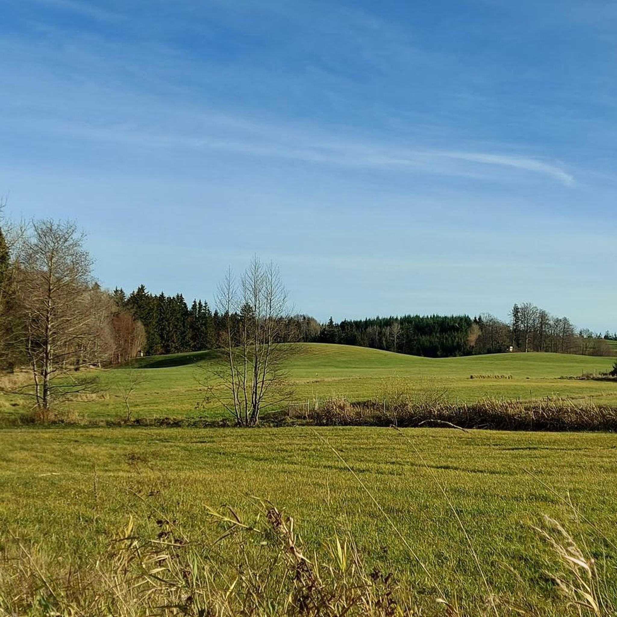
Meadows, farms and small villages characterise the landscape on both sides of the forest on the ridge
0
0

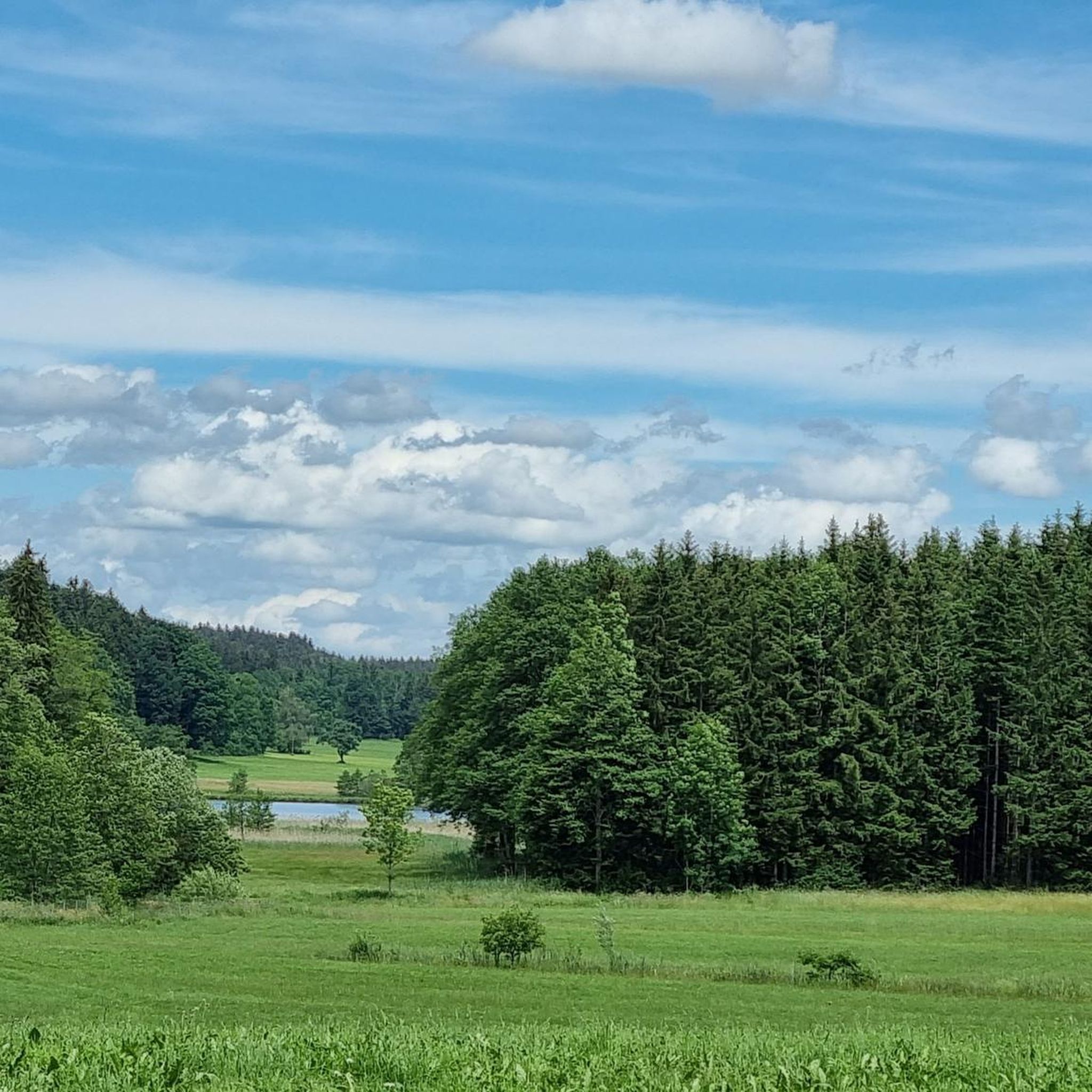
Great view from Willerazhofen over the Ellerazhofer Weiher
1
0

The Metzisweiler Pond near Bad Wurzach is a popular swimming lake, but currently has a swimming ban. The water quality was poor in the past, leading to a swimming ban. Nevertheless, the pond is an idyllic destination with a beautiful lawn, free parking, and other amenities. Source: Overview with AI
2
0
Frequently Asked Questions
What is the general difficulty level of road cycling routes in Moore Und Weiher Um Brunnen?
The road cycling routes in Moore Und Weiher Um Brunnen offer a range of difficulties. You'll find a good selection of easy routes, with 124 available, and a larger number of moderate routes, totaling 283. There are also 13 more challenging routes for experienced cyclists. The landscape is generally characterized by wetlands, forests, and gently rolling terrain, making many routes accessible.
What are the typical distances and elevation gains for road cycling routes in this region?
Routes in Moore Und Weiher Um Brunnen vary in length and elevation. For instance, the Scenic Road Cycling Route in Allgäu covers about 45.7 miles (73.6 km) with an elevation gain of around 593 meters. A shorter option like the View of the Alps from Allgäu is about 19.6 miles (31.6 km) with 227 meters of ascent. The terrain is generally gently rolling, so extreme climbs are less common.
Are there suitable road cycling routes for beginners in Moore Und Weiher Um Brunnen?
Yes, Moore Und Weiher Um Brunnen offers 124 easy road cycling routes perfect for beginners. These routes typically feature less challenging terrain and shorter distances. An example is the View of the Alps from Allgäu – View of the Alps from Allgäu loop from Wolfegg, which is 19.6 miles (31.6 km) long and considered easy.
Are there any circular road cycling routes in Moore Und Weiher Um Brunnen?
Many of the road cycling routes in Moore Und Weiher Um Brunnen are designed as loops, allowing you to start and finish in the same location. For example, the View of Ellerazhofer Weiher – Brunner Pond loop from Wolfegg is a moderate 27.1 miles (43.6 km) circular path, and the View of the Allgäu Alps – Obersee Near Kißlegg loop from Wolfegg is another popular circular option.
What can I see along the road cycling routes in Moore Und Weiher Um Brunnen?
The routes often pass through scenic wetlands and forests, offering views of the surrounding countryside. You can also discover various natural attractions such as Holzmühle Pond and Brunner Pond. Some routes, like the View of the Alps from Allgäu, even offer glimpses of the distant Alps.
What do other road cyclists enjoy the most about road cycling in Moore Und Weiher Um Brunnen?
The area is highly rated by the komoot community, with an average score of 4.5 stars from over 400 reviews. Reviewers often praise the varied terrain, the scenic side roads, and the peaceful atmosphere of the wetlands and forests. The network of routes offers options for various ability levels, making it enjoyable for many.
When is the best time of year for road cycling in Moore Und Weiher Um Brunnen?
While specific seasonal data isn't provided, the region's character with wetlands and forests suggests that spring, summer, and early autumn would be ideal. These seasons typically offer pleasant weather conditions for cycling, allowing you to fully enjoy the natural beauty and views.
Are there any advanced road cycling routes for experienced riders?
Yes, for experienced riders seeking more of a challenge, there are 13 difficult road cycling routes available in Moore Und Weiher Um Brunnen. These routes will typically feature longer distances and more significant elevation gains compared to the easy or moderate options.
Are the road cycling routes in Moore Und Weiher Um Brunnen suitable for families?
Many of the 124 easy routes in Moore Und Weiher Um Brunnen are suitable for families, especially those with some cycling experience. The gently rolling terrain and network of paved roads connecting small villages make for pleasant rides. It's always recommended to check the specific route details for distance and elevation to ensure it matches your family's ability.
How many road cycling routes are available in Moore Und Weiher Um Brunnen?
There are over 400 road cycling routes available in Moore Und Weiher Um Brunnen, offering a wide variety of options for different skill levels and preferences. This includes 124 easy, 283 moderate, and 13 difficult routes.
Where can I find parking for road cycling trails in Moore Und Weiher Um Brunnen?
While specific parking locations are not detailed in the route descriptions, many routes, such as those starting from Wolfegg, typically have designated parking areas nearby. It's advisable to check local signage or use navigation apps for parking options at your chosen starting point.
Most popular routes in Moore Und Weiher Um Brunnen
Most popular attractions in Moore Und Weiher Um Brunnen

Get inspired with the komoot mobile app


Explore more
Browse the best Road cycling routes in other regions.
