The best walks and hikes in Rufsteinhänge Und Umgebung
4.5
(16371)
62,102
hikers
13
hikes
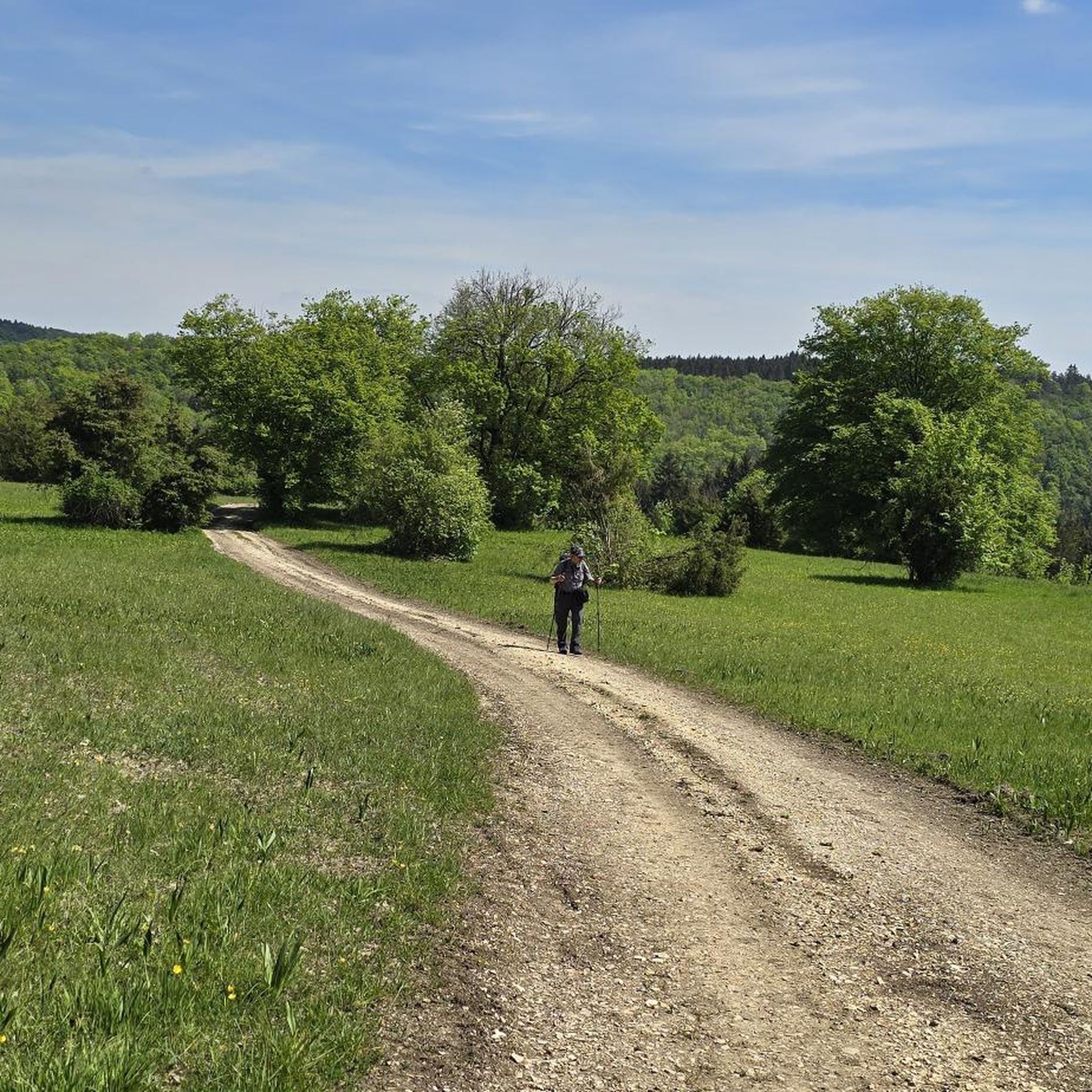
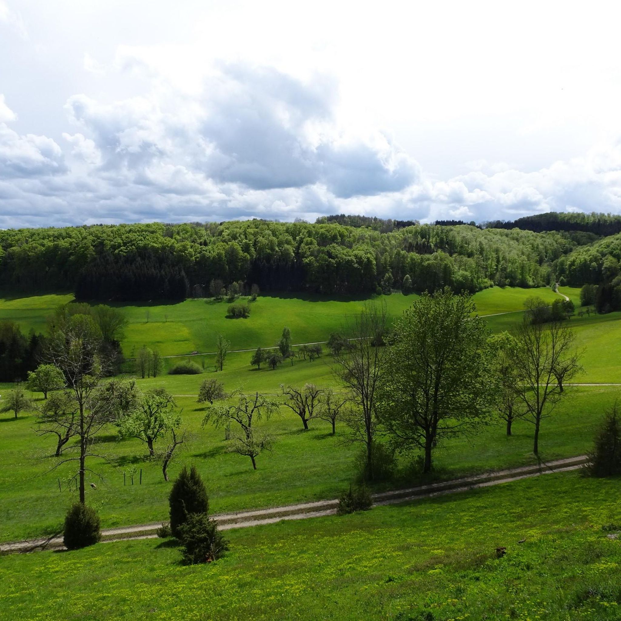
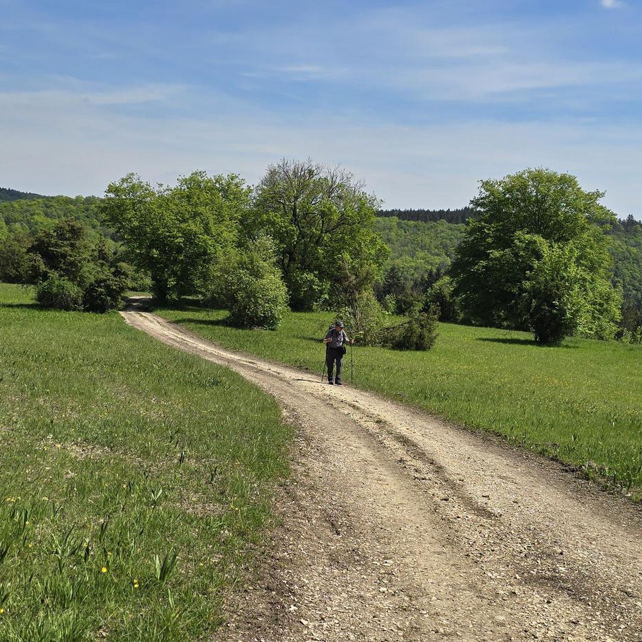
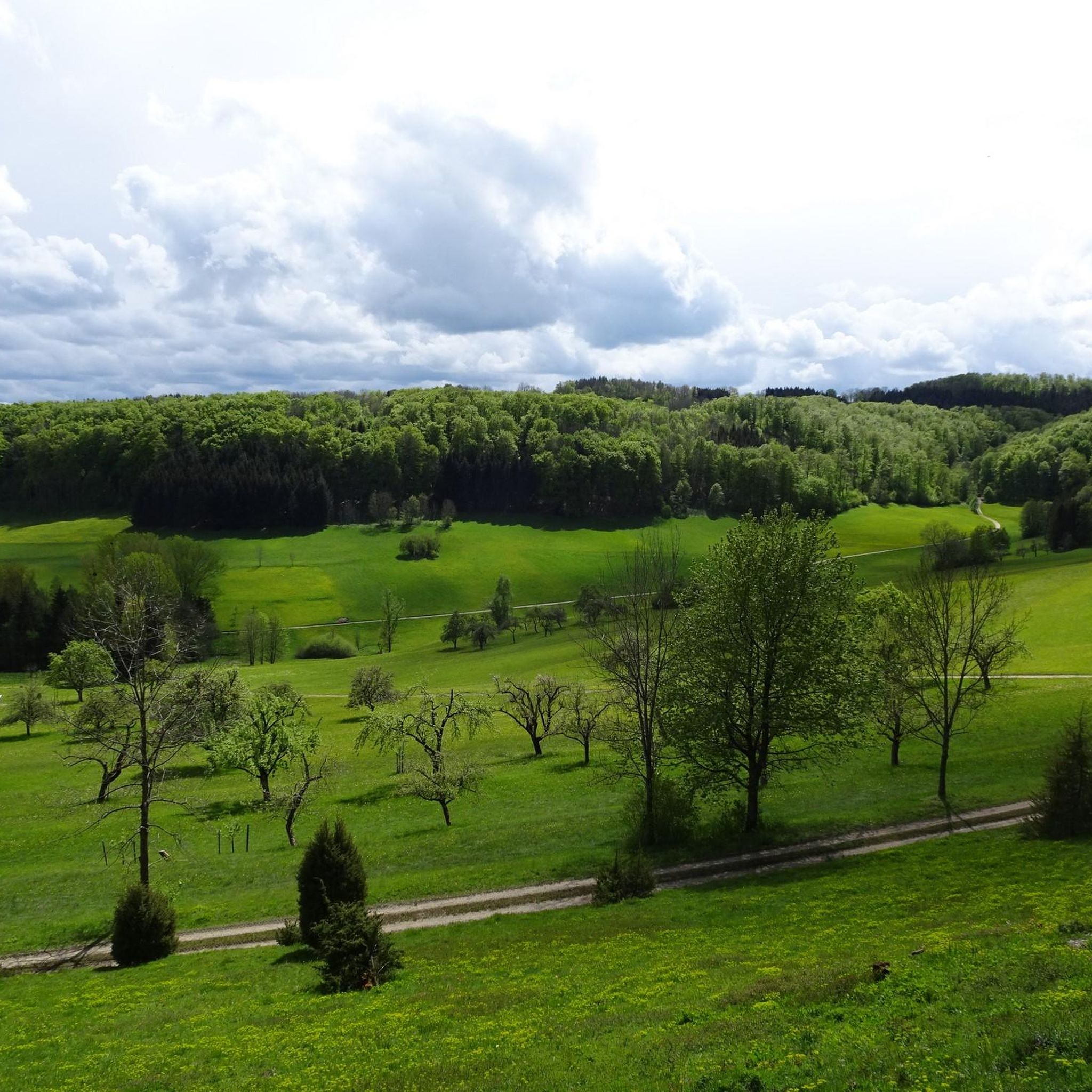
Hiking trails in Rufsteinhänge Und Umgebung traverse a diverse landscape within the Swabian Alb region of Baden-Württemberg, Germany. This area is characterized by protected ecosystems including juniper heaths, calcareous grasslands, and orchid-beech forests. Prominent natural features include the Rufsteinfels, a rock outcrop offering panoramic views, and the Kornbergsattel mountain pass. The region's varied habitats support a wide range of plant and animal species, making it a notable natural features Rufsteinhänge Und Umgebung nature reserve.
Best hiking trails in Rufsteinhänge Und…
Last updated: October 1, 2026
4.8
(28)
131
hikers
Moderate hike. Good fitness required. Easily-accessible paths. Suitable for all skill levels.
4.6
(16)
61
hikers
7.74km
02:15
210m
210m
Moderate hike. Good fitness required. Easily-accessible paths. Suitable for all skill levels.

4.0
(10)
46
hikers
4.96km
01:29
160m
160m
Easy hike. Great for any fitness level. Easily-accessible paths. Suitable for all skill levels.
4.3
(3)
10
hikers
6.24km
01:54
210m
210m
Easy hike. Great for any fitness level. Easily-accessible paths. Suitable for all skill levels.
5.0
(4)
22
hikers
4.88km
01:26
140m
140m
Easy hike. Great for any fitness level. Easily-accessible paths. Suitable for all skill levels.
Get access to more routes and recommendations from other explorers.
Already have an account?
Our route recommendations are based on thousands of hikes, rides, and runs completed by other people on komoot.
Start today with a free account
Your next adventure awaits.
Tips from the Community

Beautiful viewpoint on the edge of the forest overlooking the pre-Alpine landscape and the Three Emperors Mountains. There is also a bench here for a short rest.
7
0
The Kornberg near Gruibingen is a striking ridge on the Swabian Jura escarpment and reaches a height of around 779.7 meters above sea level. The mountain is located on the northern edge of the Gruibingen district in the Göppingen district and, together with the surrounding ridges, shapes the landscape of the Upper Fils Valley. The mountains in front of this region are also referred to as the so-called "Filsalb" because they are separated from the actual Alb plateau by the deeply cut Fils Valley. The Kornberg is part of a nature reserve of approximately 189.7 hectares, which is counted among the particularly diverse and attractive landscape areas of the Swabian Jura. In addition to the Kornberg, the protected area also includes adjacent areas such as the Bam and the Mädlesberg. The aim of the protection status is to preserve the typical Jura landscape with its valuable habitats for numerous animal and plant species.
5
0
Beautiful nature trail to walk, which leads directly along the Albtrauf. Unfortunately, there are no viewpoints in this section of the trail, but at the latest at the former Bertaburg there is a magnificent view of the Albvorland.
9
0

Trial from Bertaburg to Bad Boll
0
0


A fairly large shelter. Inside, there are two information panels.
0
0
Wooden shelter with some seating and information panels about the history of Bertaburg and the life of Berta von Boll.
10
0
Magnificent panoramic views from a viewpoint with several benches near the former Bertaburg castle. In good weather, the view extends to the Neckar Valley on one side and to the Kaiserberge mountains on the other.
8
0
Frequently Asked Questions
What types of hiking trails can I find in Rufsteinhänge Und Umgebung?
Rufsteinhänge Und Umgebung offers a diverse range of hiking trails, including easy, moderate, and difficult options. You'll find routes traversing unique juniper heaths, calcareous grasslands, and orchid-beech forests, catering to various skill levels and preferences.
Are there any easy hiking trails suitable for beginners or families?
Yes, there are several easy trails. For instance, the Kornberg Hut – Kornberg Summit loop from Flugplatz Nortel is an easy 3.0-mile (4.9 km) trail that takes about 1 hour 27 minutes, leading through forested areas and offering open views. Another accessible option is the View from Bertaburg – Kornberg Hut loop from Flugplatz Nortel, which is 6.2 km long and also rated easy.
What are the most scenic natural features or viewpoints to explore?
The region is known for its scenic beauty. The Rufsteinfels is a prominent rock outcrop offering panoramic views above Gruibingen. You can also explore the unique Heath on the Upper Leimberg, a nature monument renowned for its rare flora, including wild orchids. The Kornbergsattel Pass also provides noteworthy vistas.
Are there any circular hiking routes available?
Many of the trails in Rufsteinhänge Und Umgebung are designed as circular routes, allowing you to start and end at the same point. An example is the View of Kornberg – Kornberg Hut loop from Flugplatz Nortel, a moderate 4.6-mile (7.5 km) path offering scenic views of the Kornberg.
What do other hikers say about the trails in Rufsteinhänge Und Umgebung?
The hiking routes in Rufsteinhänge Und Umgebung are highly regarded by the komoot community, holding an average rating of 4.5 stars from nearly 5,000 reviews. Hikers frequently praise the diverse landscapes, from juniper heaths to panoramic viewpoints, and the well-maintained paths.
Are the trails in Rufsteinhänge Und Umgebung suitable for dogs?
While specific rules for dogs vary, the natural landscapes of Rufsteinhänge Und Umgebung generally welcome well-behaved dogs on a leash. It's always recommended to check local signage for any specific restrictions within protected areas like the juniper heaths.
Where can I park my car when visiting the hiking trails?
Parking is available at various points around the region. A notable option is the Kornbergsattel Car Park, which serves as a convenient starting point for several trails. Many routes also begin near Flugplatz Nortel, where parking facilities are typically available.
What is the best time of year to go hiking in Rufsteinhänge Und Umgebung?
The diverse flora, including wild orchids on the 'Heide auf dem Oberen Leimberg,' suggests that spring and early summer offer vibrant displays. Autumn also provides beautiful scenery with changing foliage. However, the trails are generally accessible and enjoyable throughout the warmer months.
Are there any unique attractions or landmarks besides the natural features?
Beyond the natural beauty, you can visit the Nortel Airfield and Fliegerhaus. This unusual attraction allows visitors to observe air sports amidst the natural surroundings and often provides refreshments and snacks.
How many hiking routes are available in Rufsteinhänge Und Umgebung?
There are 15 distinct hiking routes recorded in Rufsteinhänge Und Umgebung. These include 7 easy, 7 moderate, and 1 difficult trail, offering a wide selection for different preferences and fitness levels.
Can I reach the trailheads using public transportation?
While specific public transport connections to every trailhead might be limited, the region is part of the Swabian Alb, which has some regional bus services. For detailed information on reaching specific trailheads, it's advisable to consult local public transport schedules for Gruibingen or Mühlhausen im Täle.
What kind of terrain can I expect on the trails?
The terrain in Rufsteinhänge Und Umgebung is varied, ranging from gentle paths through juniper heaths and calcareous grasslands to more challenging sections in orchid-beech forests and around rock outcrops like the Rufsteinfels. Expect a mix of open views and forested areas, with some elevation changes.
Most popular routes in Rufsteinhänge Und Umgebung
Most popular attractions in Rufsteinhänge Und Umgebung

Get inspired with the komoot mobile app


Explore more
Browse the best Hikes in other regions.
