The best walks and hikes in Firnhabermoos
4.5
(1061)
5,086
hikers
670
hikes
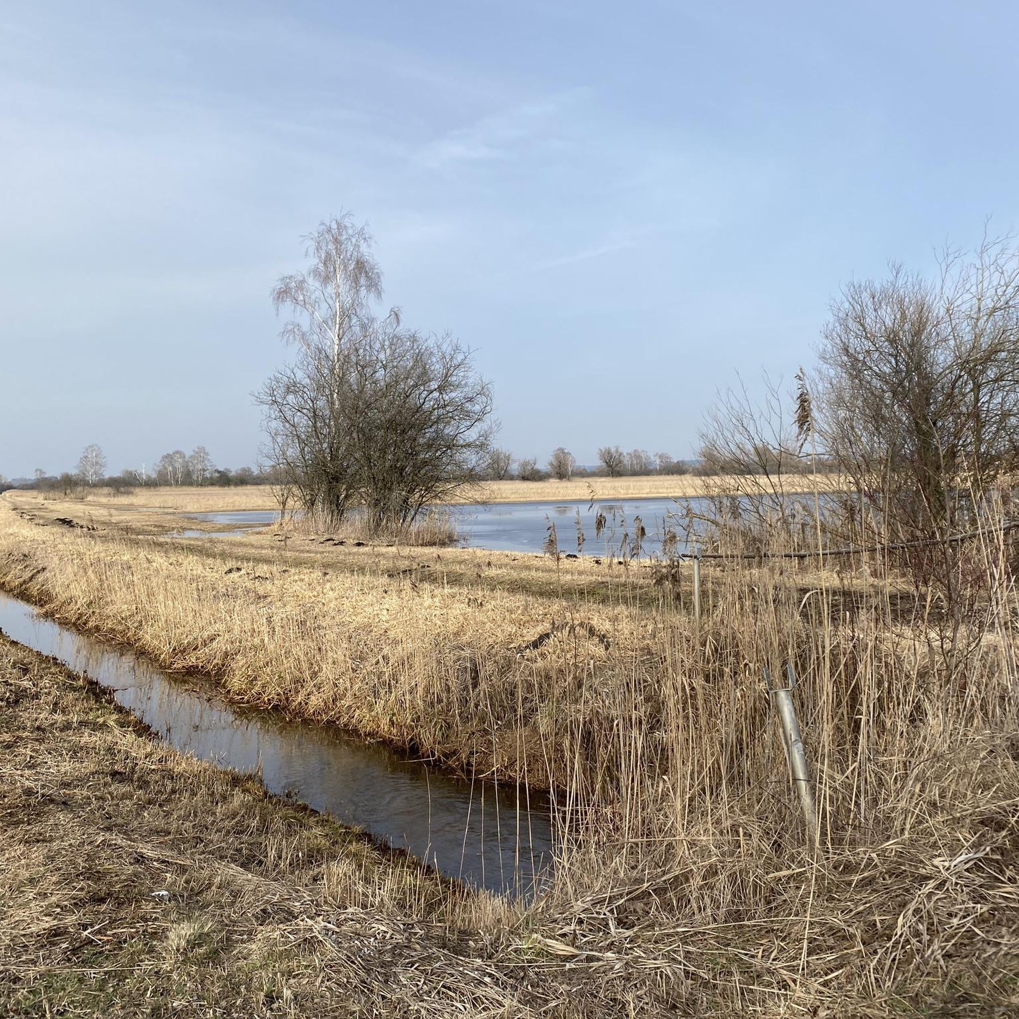
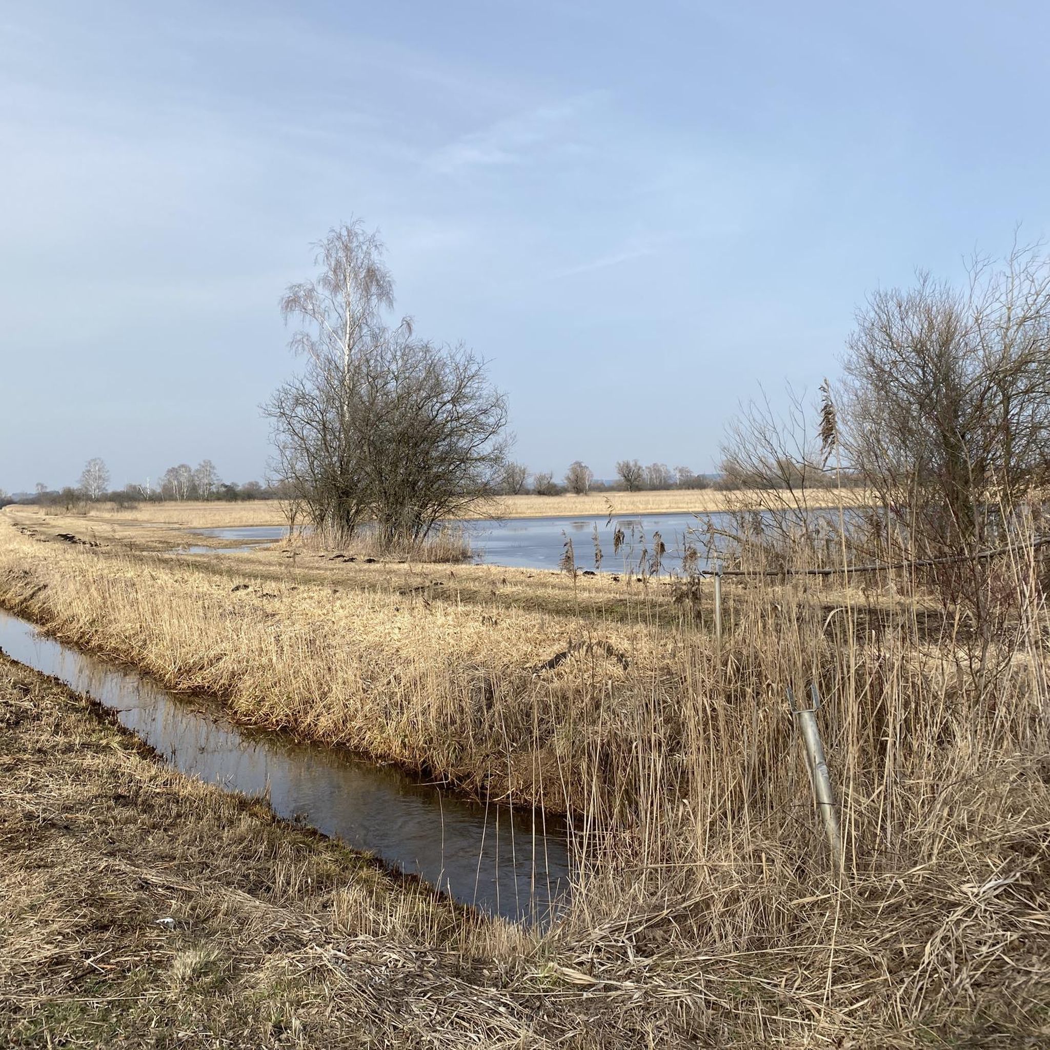
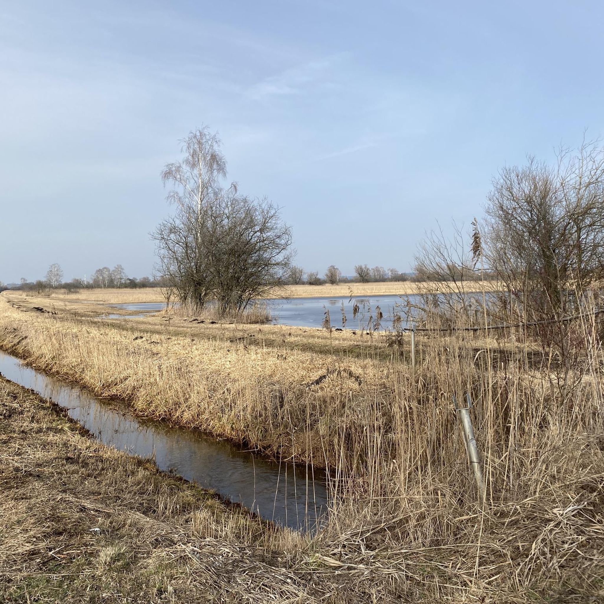
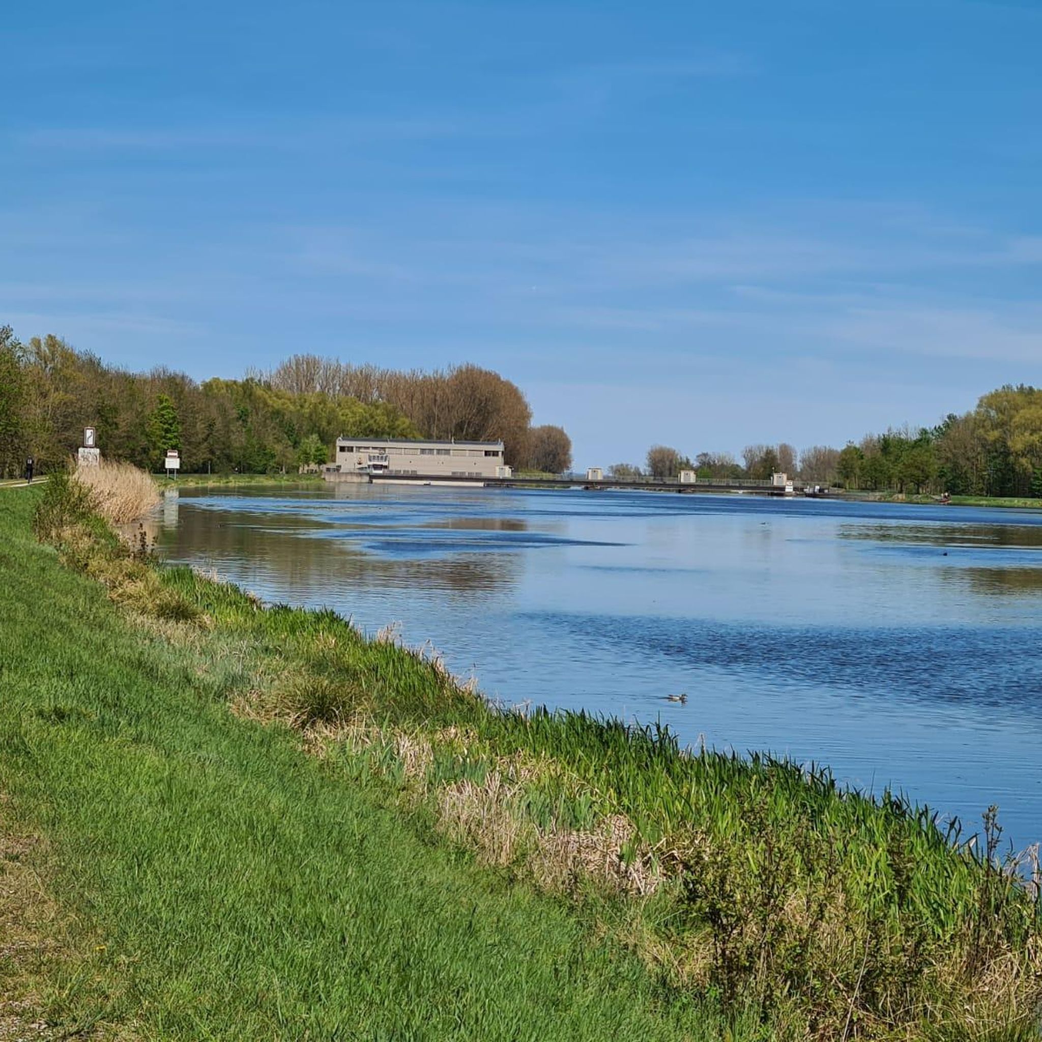
Hiking in Firnhabermoos, located within the Danube-Ries region, offers a network of trails through a natural park setting. The terrain is characterized by generally low elevation changes, making it suitable for accessible walks. Routes often traverse areas like the Mertinger Ried Nature Reserve, providing opportunities to experience local flora and fauna. The landscape primarily consists of gentle paths, ideal for leisurely exploration.
Best hiking trails in Firnhabermoos
- The most popular hiking route is Hiking loop from Mertinger Hölle, a…
Last updated: September 24, 2026
4
hikers
4.83km
01:13
10m
10m
Easy hike. Great for any fitness level. Easily-accessible paths. Suitable for all skill levels.
4
hikers
7.56km
01:54
10m
10m
Easy hike. Great for any fitness level. Easily-accessible paths. Suitable for all skill levels.

4.0
(3)
9
hikers
Moderate hike. Good fitness required. Easily-accessible paths. Suitable for all skill levels.
3.5
(2)
7
hikers
Easy hike. Great for any fitness level. Easily-accessible paths. Suitable for all skill levels.
4
hikers
4.85km
01:14
10m
10m
Easy hike. Great for any fitness level. Easily-accessible paths. Suitable for all skill levels.
Get access to more routes and recommendations from other explorers.
Already have an account?
Our route recommendations are based on thousands of hikes, rides, and runs completed by other people on komoot.
Start today with a free account
Your next adventure awaits.
Tips from the Community

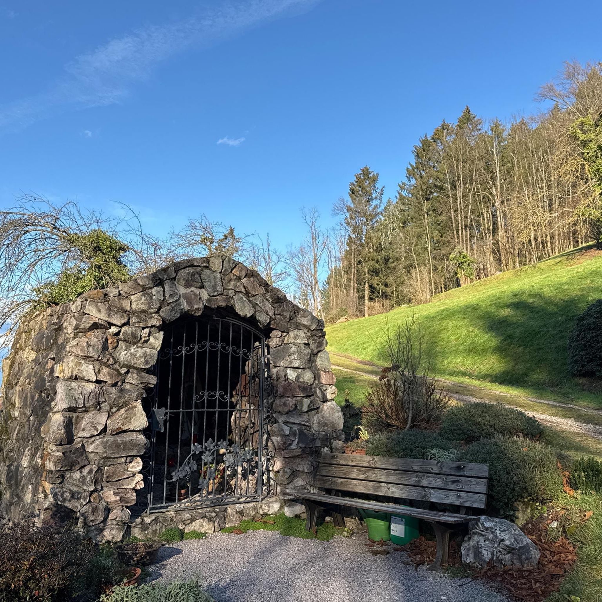
The Roman Catholic branch church of St. Margaret was built in 1491 and is dedicated to the Fourteen Holy Helpers in Need. It was expanded into a hall church in 1680/81. More: https://de.wikipedia.org/wiki/St._Margareta_(Hei%C3%9Fesheim)
0
0

Detour? no Unpack and have a snack
1
0

Very nice viewpoint of the Mertinger Hölle
1
0

Small viewing platform, nice to take a break. Greetings Marcus
1
0

A great rest area on the former Mertingen-Wertingen railway line with signal bridge, semaphore signal HP2, buffer stop, level crossing with St. Andrew's crosses and display board with explanations and pictures of the route history.
2
0

Really good to get some rest. Nice that the remains of the railway system have been lovingly integrated into this rest area.
3
0

Nice place to rest and relax with a lookout tower.
4
0

A small playground, benches, parking spaces at the level crossing on the former Wertingen-Mertingen railway line
1
0
Frequently Asked Questions
How many hiking trails are available in Firnhabermoos?
Firnhabermoos offers an extensive network of over 650 hiking trails, catering to various preferences and skill levels. The majority of these, over 420, are considered easy, making the region very accessible.
What is the general difficulty level of hiking trails in Firnhabermoos?
The trails in Firnhabermoos are predominantly easy, with over 420 routes suitable for leisurely walks. There are also around 215 moderate trails and a smaller selection of about 15 difficult routes for more experienced hikers seeking a challenge.
Are there any family-friendly hiking options in Firnhabermoos?
Yes, Firnhabermoos is well-suited for families due to its generally low elevation changes and numerous easy paths. Routes like the Hiking loop from Mertinger Hölle offer straightforward and enjoyable walks for all ages.
Can I bring my dog on the hiking trails in Firnhabermoos?
While specific regulations for dogs can vary, the natural park setting of Firnhabermoos generally welcomes dogs. It's always recommended to keep dogs on a lead, especially when passing through nature reserves like the Mertinger Ried, and to ensure you clean up after them to preserve the natural environment.
What kind of natural features can I expect to see while hiking in Firnhabermoos?
Hiking in Firnhabermoos will lead you through a natural park environment characterized by gentle paths, often traversing areas like the Mertinger Ried Nature Reserve. You can expect to experience local flora and fauna, with routes weaving through fields and woodlands, offering a peaceful natural experience.
Are there any circular hiking routes in Firnhabermoos?
Yes, many of the trails in Firnhabermoos are designed as circular routes, offering convenient starting and ending points. Popular examples include the Hiking loop from Mertinger Hölle and the Mertinger Ried Nature Reserve – Field with Crows loop from Mertingen.
What do other hikers enjoy most about Firnhabermoos?
The area is highly rated by the komoot community, with an average score of 4.5 stars from over 870 reviews. Hikers often praise the region for its accessible, gentle paths, and the tranquil experience of walking through its natural park settings, particularly the Mertinger Ried Nature Reserve.
What is the best time of year to go hiking in Firnhabermoos?
Firnhabermoos, with its generally gentle terrain, is enjoyable for hiking throughout much of the year. Spring and autumn offer pleasant temperatures and beautiful scenery, while summer provides longer daylight hours. Even in milder winter conditions, some trails may be accessible for a refreshing walk.
Where can I find parking for hiking trails in Firnhabermoos?
Many popular trailheads in Firnhabermoos, such as those near Mertinger Hölle or Mertingen, offer convenient parking options. It's advisable to check the specific route details on komoot for precise parking information for your chosen hike.
Are there any cafes or places to eat near the hiking trails?
Firnhabermoos is situated within the Danube-Ries region, which has local villages and towns. While specific cafes directly on the trails may be limited, you can often find dining options in nearby communities like Mertingen, which are easily accessible from many trail starting points.
What is the typical elevation gain on hikes in Firnhabermoos?
Hikes in Firnhabermoos are characterized by generally low elevation changes. For example, routes like the Chestnut Tree Avenue loop from Mertinger Hölle involve minimal ascent and descent, making them suitable for those preferring flatter terrain.
How long do hikes in Firnhabermoos typically take?
The duration of hikes varies depending on the route and your pace. Many popular trails, such as the Hiking loop from Mertinger Hölle, can be completed in about 1 hour 15 minutes, while longer routes like the Mertinger Ried Nature Reserve – Field with Crows loop from Mertingen might take around 2 hours.
Most popular routes in Firnhabermoos

Get inspired with the komoot mobile app


Explore more
Browse the best Hikes in other regions.
