The best MTB trails in Mittlerer Schurwald
4.6
(4647)
17,463
riders
781
rides
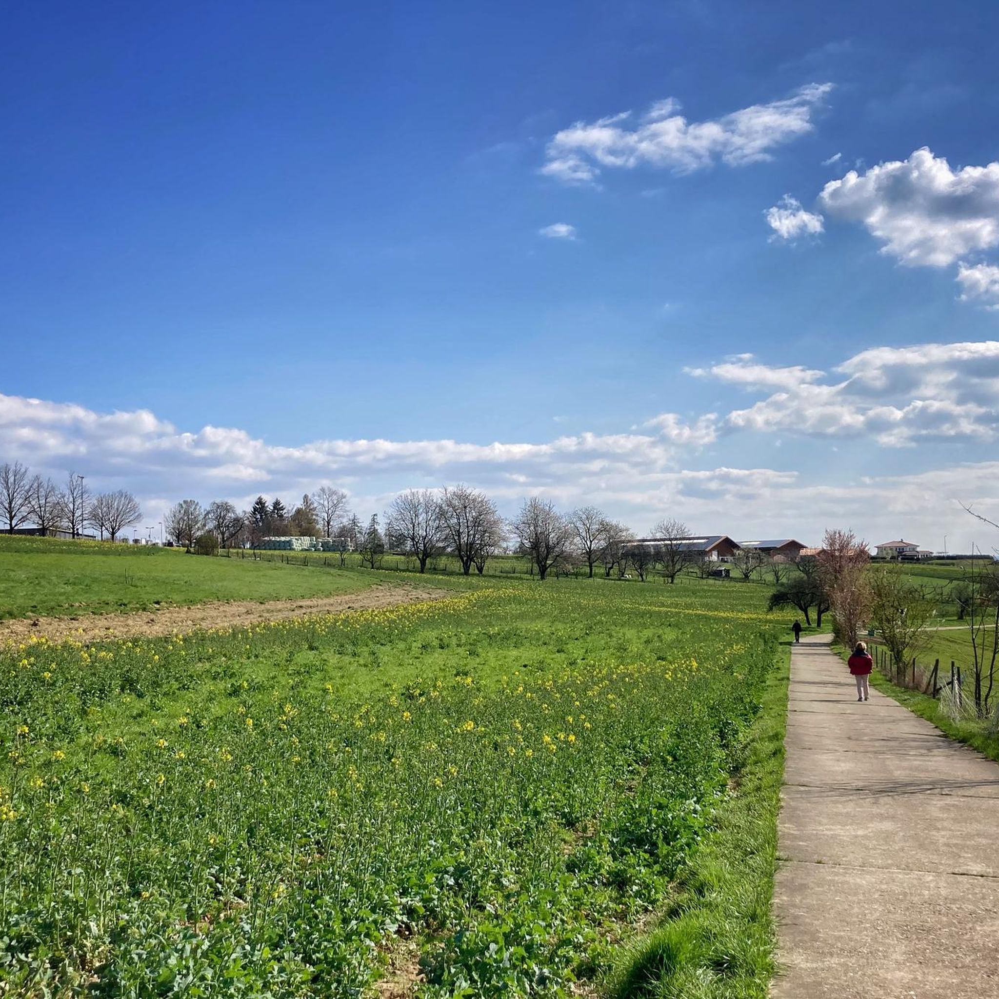
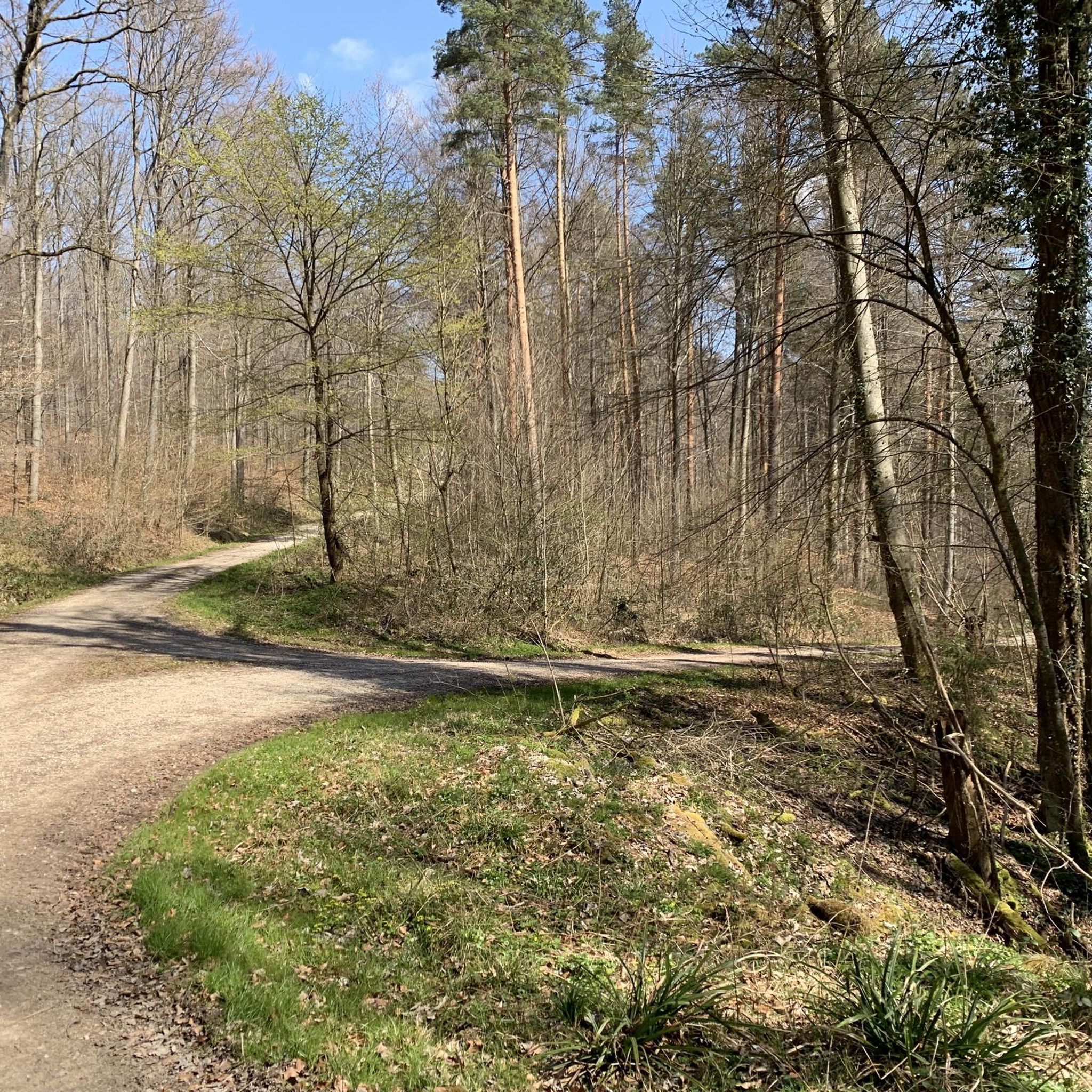
Mountain biking in Mittlerer Schurwald offers a diverse landscape of wooded mountain ranges situated between the Neckar and Remstal valleys in southern Germany. The region features a varied topography, characterized by extensive forest trails, gravel roads, and singletracks. Riders encounter a mix of terrain, from gentle ascents to more challenging climbs, with geological features including clay, marl, and sandstone.
Best mountain bike trails in Mittlerer Schurwald
- The most popular mountain bike trail is Flauschi Trail Section 2 – Adelberg Trail…
Last updated: July 11, 2026
4.7
(34)
179
riders
30.7km
02:51
660m
660m
Moderate mountain bike ride. Good fitness required. Advanced riding skills necessary.
4.7
(15)
72
riders
Moderate mountain bike ride. Good fitness required. Suitable for all skill levels.

Sign up for free
4.6
(17)
48
riders
46.3km
03:13
630m
630m
Moderate mountain bike ride. Good fitness required. Suitable for all skill levels.
4.5
(19)
29
riders
19.5km
01:24
350m
340m
Moderate mountain bike ride. Good fitness required. Suitable for all skill levels.
4.6
(7)
47
riders
29.1km
01:58
210m
210m
Easy mountain bike ride. Great for any fitness level. Suitable for all skill levels.
Get access to more routes and recommendations from other explorers.
Sign up for free
Already have an account?
Our route recommendations are based on thousands of hikes, rides, and runs completed by other people on komoot.
Start today with a free account
Your next adventure awaits.
Login or Signup

Tips from the Community

Imposing specimens of giant sequoias from the so-called "Wilhelma-seed" stand in Baltmannsweiler at the Schlössleseen.
1
0

Nice rest stop You can have a good break here
0
0

Rock formation "Three Giants" with three huge rocks and a wonderful view of Beutelsbach and the surrounding vineyards in the Remstal valley.
4
0

Center of the Rems in Schwäbisch Gmünd, easy to reach
0
0

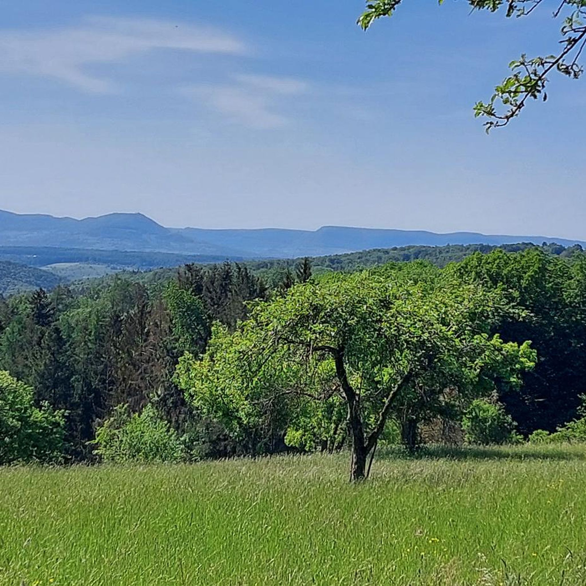
The quiet and lonely Schurwald.
2
1


Frequently Asked Questions
How many mountain bike trails are available in Mittlerer Schurwald?
Mittlerer Schurwald offers a wide network of mountain bike trails, with over 760 routes recorded on komoot. This includes a variety of options, from easy rides to more challenging paths.
What kind of terrain can I expect on the mountain bike trails?
You can expect a diverse landscape featuring extensive forest trails, well-maintained gravel roads, and singletracks. The region's geology, composed of clay, marl, and Late Triassic sandstone, contributes to varied topography, offering everything from gentle ascents to more challenging climbs.
Are there mountain bike trails suitable for beginners?
Yes, Mittlerer Schurwald has trails suitable for beginners. There are 192 easy routes available, offering a good starting point for those new to mountain biking or looking for a more relaxed ride.
Are there challenging trails for advanced mountain bikers?
For advanced riders seeking a challenge, there are 46 difficult mountain bike routes in Mittlerer Schurwald. These trails often incorporate technical sections and significant elevation changes, with some even requiring pushing the bike on steeper parts.
What do other mountain bikers enjoy most about Mittlerer Schurwald?
The area is highly rated by the komoot community, with an average score of 4.6 stars from over 4000 reviews. Riders often praise the diverse terrain, the extensive forest trails, and the panoramic views of the Remstal vineyards and the Swabian Alb.
Are there any family-friendly mountain bike trails?
Yes, the region offers family-friendly options. The Eastern Schurwald Route, for example, is known as a family-friendly bike route. Many of the easy and moderate trails are suitable for families looking to enjoy a ride together.
Can I bring my dog on the mountain bike trails?
While many trails in Baden-Württemberg are dog-friendly, it's always advisable to keep dogs on a leash, especially in nature reserves or areas with wildlife. Check local signage for specific regulations on individual trails.
What are some notable landmarks or viewpoints along the trails?
Mountain bikers can enjoy picturesque views throughout Mittlerer Schurwald. Highlights include panoramic vistas of the Remstal vineyards and the Swabian Alb from the Schurwaldhöhen. You might also encounter natural features like the Holderstein Rock Formation and Waterfall or the Old Stone Bridge over the Reichenbach.
Are there circular mountain bike routes in Mittlerer Schurwald?
Yes, many of the mountain bike routes in Mittlerer Schurwald are circular. Examples include the Flauschi Trail Section 2 – Adelberg Trail loop from Lichtenwald and the Remstal Cinema – View of the Remstal Vineyards loop from Mittlerer Schurwald, which are popular choices for their varied scenery.
Is parking available near the mountain bike trails?
Yes, parking is generally available in towns and villages surrounding Mittlerer Schurwald, such as Lichtenwald, Baltmannsweiler, and Winterbach, which serve as common starting points for many trails. Specific parking areas are often indicated near trailheads.
Can I access the mountain bike trails using public transport?
Mittlerer Schurwald benefits from good accessibility, including public transport options to nearby towns. While direct access to every trailhead might vary, you can often reach the general area by bus or train, particularly to towns like Winterbach, and then cycle to the trail starting points.
What is the best time of year for mountain biking in Mittlerer Schurwald?
The region is enjoyable for mountain biking through much of the year. Spring and autumn offer pleasant temperatures and vibrant scenery. Summer is also popular, though trails can be busier. Winter conditions might include snow or ice, making some trails more challenging or impassable.
Most popular routes in Mittlerer Schurwald
Most popular attractions in Mittlerer Schurwald

Get inspired with the komoot mobile app


Explore more
Browse the best MTB trails in other regions.
