The best walks and hikes in Albtal Und Seitentäler
4.5
(38731)
147,377
hikers
133
hikes
Hiking in Albtal Und Seitentäler offers diverse landscapes within the northern Black Forest region. The area is characterized by the Alb River valley and its tributaries, carving through the terrain to create deep valleys and extensive riverside meadows. Hikers will find natural deciduous and coniferous forests, unique gallery forests, and impressive geological formations such as rock formations and narrow gorges. This region includes mountainous sections typical of the Black Forest, providing varied elevation changes.
Best hiking trails in Albtal Und…
Last updated: October 6, 2026
4.9
(16)
69
hikers
17.3km
04:57
380m
420m
Moderate hike. Good fitness required. Easily-accessible paths. Suitable for all skill levels.
4.8
(305)
937
hikers
15.2km
04:30
440m
440m
Moderate hike. Good fitness required. Mostly accessible paths. Sure-footedness required.

4.6
(135)
492
hikers
9.90km
02:46
190m
190m
Moderate hike. Good fitness required. Easily-accessible paths. Suitable for all skill levels.
4.5
(88)
309
hikers
14.2km
03:58
280m
280m
Moderate hike. Good fitness required. Easily-accessible paths. Suitable for all skill levels.
4.6
(98)
365
hikers
11.5km
03:31
390m
390m
Moderate hike. Good fitness required. Easily-accessible paths. Suitable for all skill levels.
Get access to more routes and recommendations from other explorers.
Already have an account?
Our route recommendations are based on thousands of hikes, rides, and runs completed by other people on komoot.
Start today with a free account
Your next adventure awaits.
Popular around Albtal Und Seitentäler
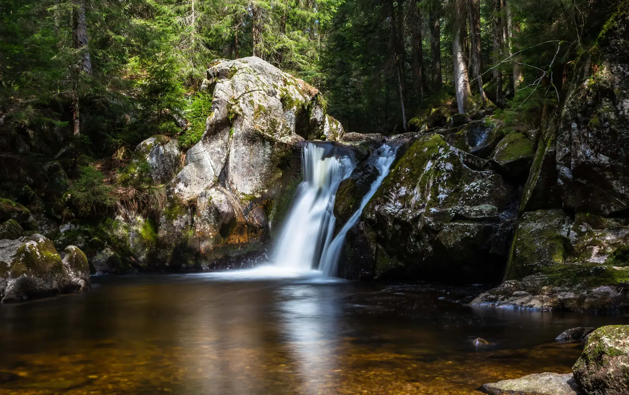
Hiking, ponds & waterfalls – superb Black Forest swimming spots
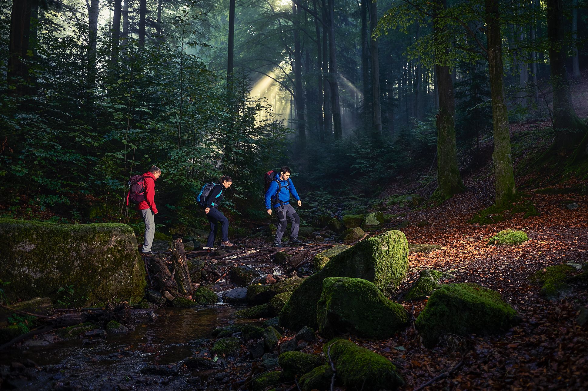
Cross-hiking the Black Forest
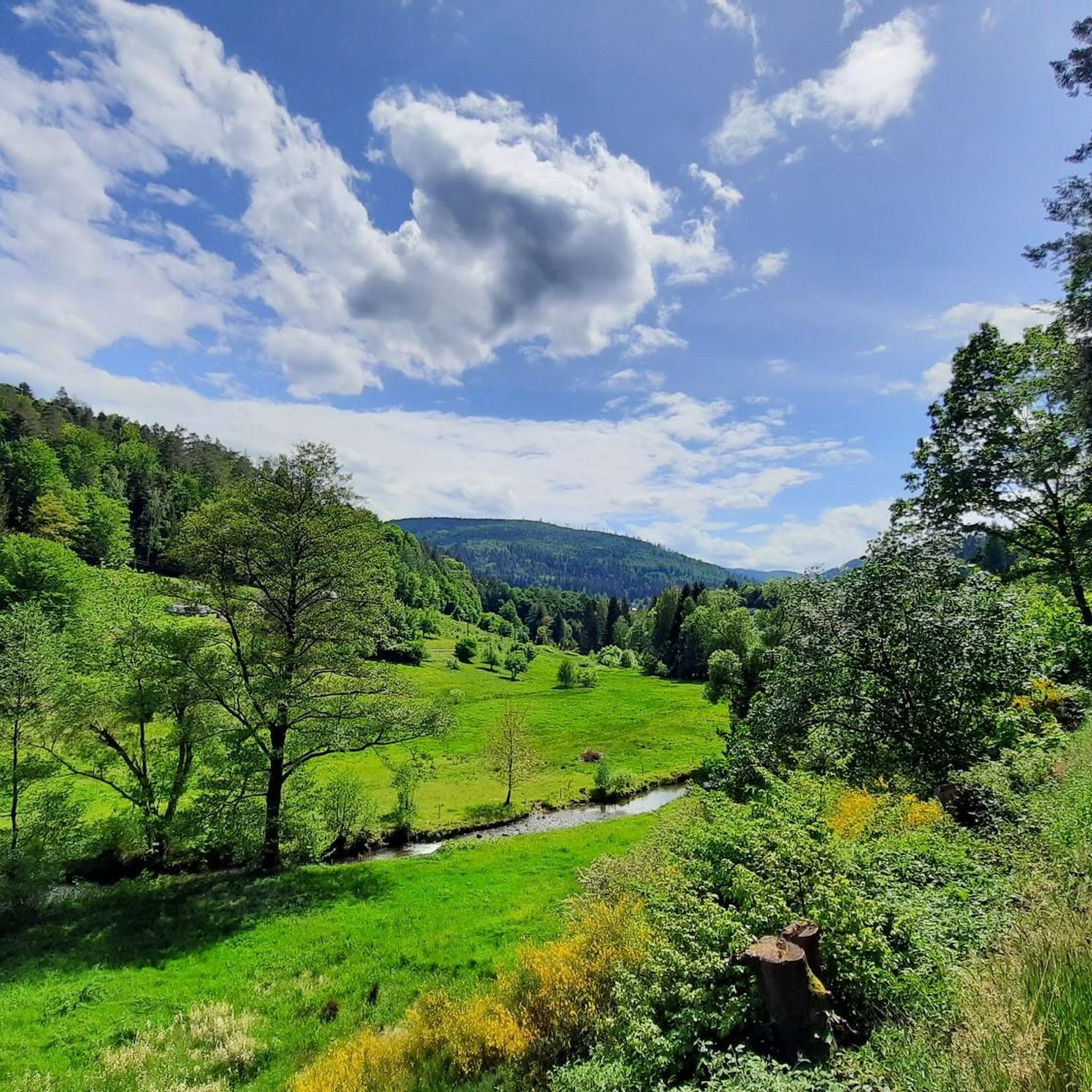
Cycling in Albtal Und Seitentäler
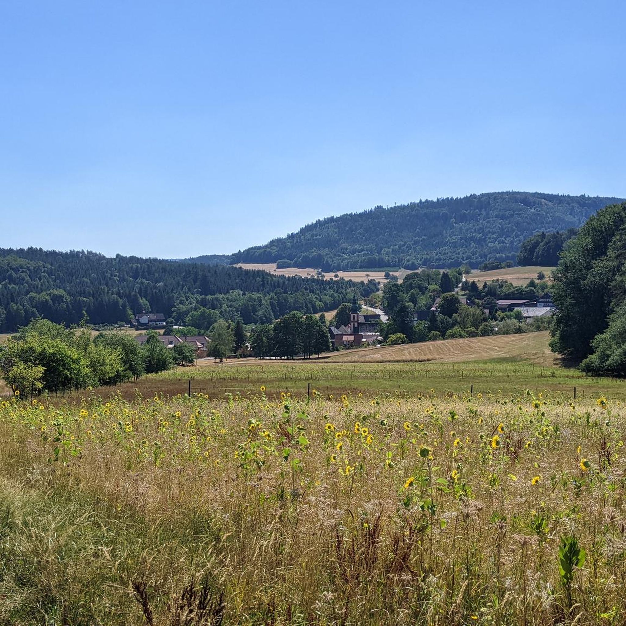
Road Cycling Routes in Albtal Und Seitentäler
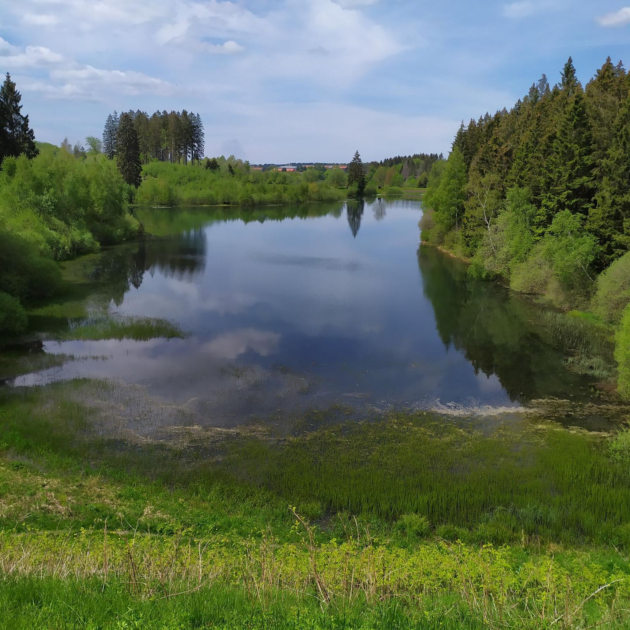
Gravel biking in Albtal Und Seitentäler
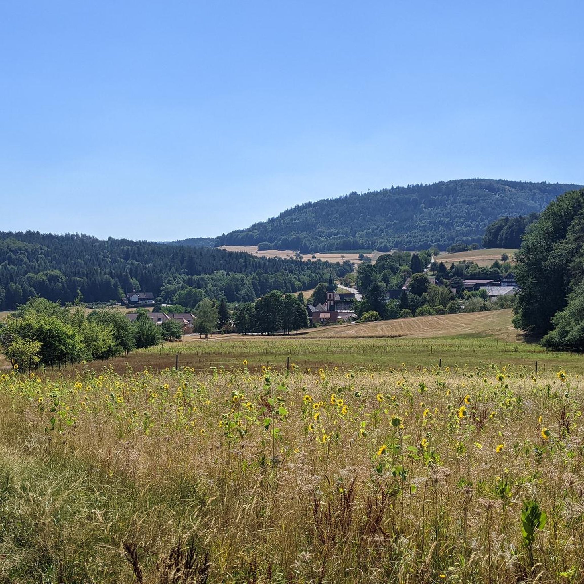
MTB Trails in Albtal Und Seitentäler
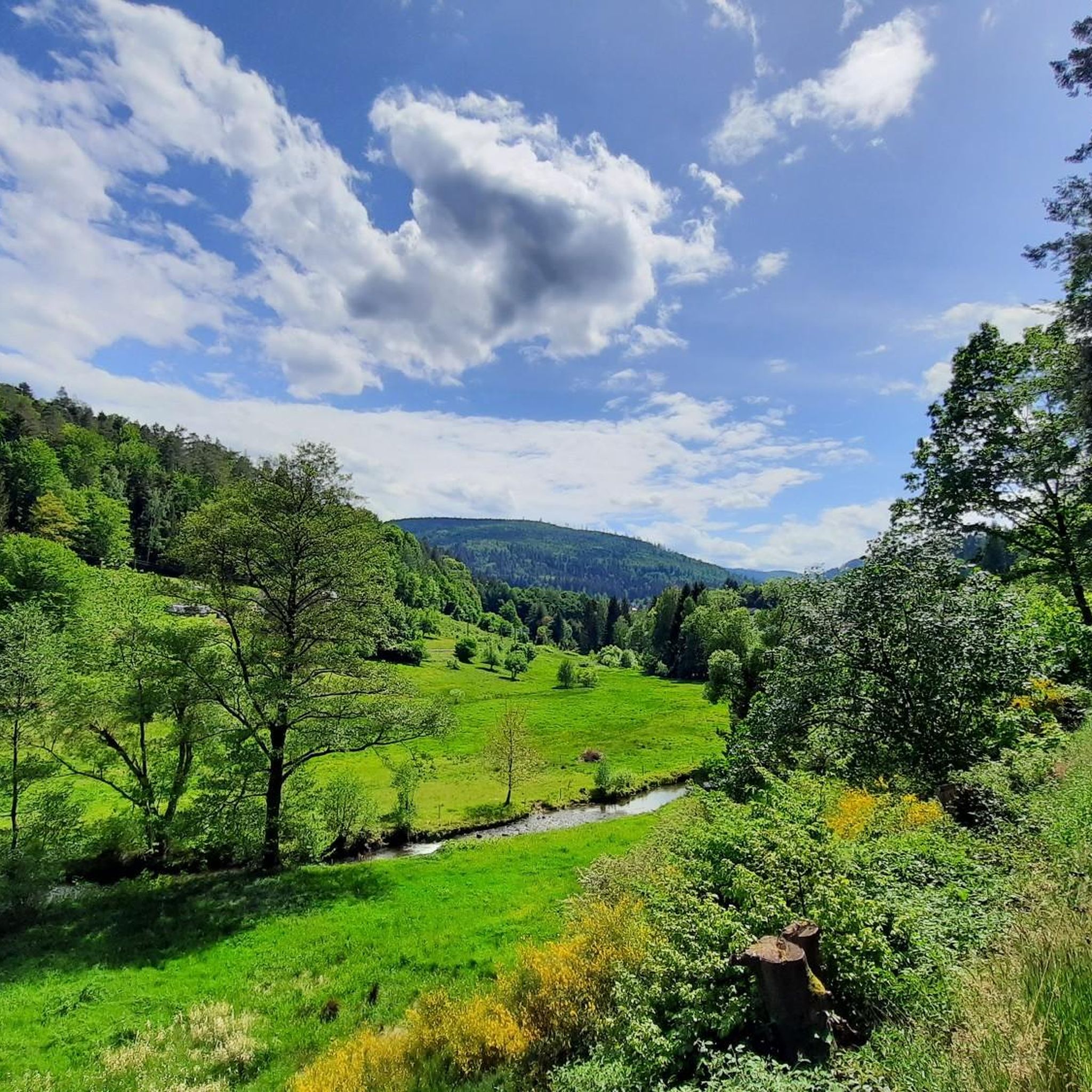
Running Trails in Albtal Und Seitentäler
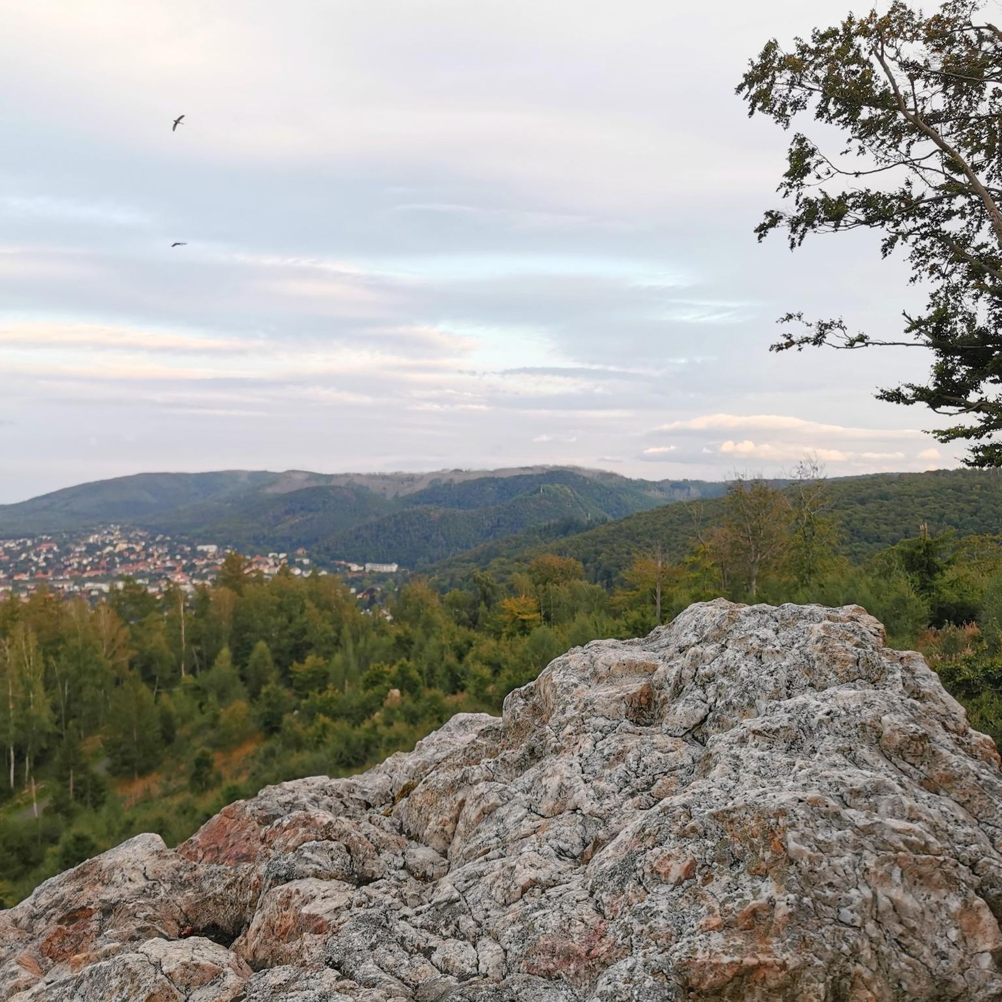
Mountain Hikes in Albtal Und Seitentäler


Tips from the Community

The history of the Gaggenau districts of Michelbach and Moosbronn, and the Bad Herrenalb district of Bernbach, is uniquely linked to the former state border between Baden and Württemberg. The so-called "wasp's waist" of the old state of Baden lay in the Michelbach district. At its narrowest point, it is only 17.2 kilometers from the Württemberg border to the Rhine. In the pilgrimage site of Moosbronn, the state border ran right through the village. Since the founding of the state of Baden-Württemberg in 1952 and the district reform in 1973, the communities on both sides of the old border have steadily grown together. An expression of this good neighborliness is the hiking trail "in the footsteps of the old border", which was created and signposted in 2002 on the occasion of "900 years of Michelbach" with the local administrations of Michelbach, Freiolsheim and Bernbach.
4
0
The Tannenwaldhütte was first mentioned in 1856 and destroyed by the storm "Lothar" on 26.12.1999. It was rebuilt by the nature club Michelbach, the leisure club "Ranch" and the forestry administration. Below the hut, there is a spring that does not run dry even on hot days.
3
0
Hiking trail over some stones and roots as a connecting path to and from the Bernstein Felsen.
4
0
Right well-walkable hiking trail over some stones and roots as a direct connection to the Bernstein Felsen.
4
0
Quite massive boundary stones on the former border between the Kingdom of Württemberg and the Grand Duchy of Baden with the year 1791.
4
0
The Tote-Mann-Stein is a historical boundary stone from 1570 and is considered the oldest boundary stone in the Ettlingen district. It stands in the Albtal near Fischweier, features a relief of a skeleton and an hourglass, and bears the inscription: "VON ALTERS HER ZVM TOTTEM MANN WARDT ICH VON DER STADT ETTLINGEN GNANT". The stone at this location is a copy, while the original is housed in the Albgaumuseum in Ettlingen. Two information boards on site provide further background information.
5
0
Easy-to-walk hiking trail along a nicely located forest clearing in a quiet location.
5
0
Station 2 "Waldlabyrinth" as part of the forest adventure trail, where you are supposed to find the center of the labyrinth.
5
0
Frequently Asked Questions
How many hiking trails are available in Albtal Und Seitentäler?
Albtal Und Seitentäler offers a wide network of trails, with over 130 hiking routes available on komoot. These range from easy strolls to more challenging mountain tours, catering to all fitness levels.
Are there easy hiking trails suitable for beginners or families?
Yes, the region has many easy trails perfect for beginners and families. For instance, the Hildebrand Spring – Moosbronn Naturefriends House loop from Moosbronn is an easy 5.7 km route. The Bad Herrenalb Spring Experience Trail is also particularly suitable for families, featuring information boards and puzzles along the Alb river.
Can I bring my dog on the hiking trails in Albtal Und Seitentäler?
Many trails in Albtal Und Seitentäler are dog-friendly, allowing you to enjoy the diverse landscapes with your canine companion. It's always recommended to keep dogs on a leash, especially in nature reserves, and to check specific trail regulations beforehand.
Are there any circular hiking routes in the region?
Yes, Albtal Und Seitentäler features numerous circular hiking routes. A popular option is the Trail to Bernsteinfels – Bernstein Hut (654 m) loop from Moosbronn, which is a moderate 15.6 km trail featuring the notable Bernsteinfels rock formation.
What natural landmarks or attractions can I see while hiking?
The region is rich in natural beauty. You can explore impressive geological formations like the Bernsteinfels, deep valleys, and unique gallery forests. The Albursprung (Source of the Alb) is another significant natural monument. For a refreshing stop, consider the Foot Bath Spot on the Alb Stream.
Is there public transport access to the trailheads?
Albtal Und Seitentäler is generally well-connected, with public transport options often reaching towns and villages that serve as starting points for hikes. The Albtalbahn, for example, provides access to several locations within the valley. It's advisable to check local bus and train schedules for specific trailheads.
Where can I find parking for hiking in Albtal Und Seitentäler?
Many trailheads and popular hiking areas in Albtal Und Seitentäler offer designated parking facilities. Towns like Bad Herrenalb, Moosbronn, and Frauenalb-Schielberg typically have parking available near their respective starting points. Look for signs indicating 'Wanderparkplatz' (hiker's parking).
What is the best time of year to go hiking in Albtal Und Seitentäler?
The Albtal Und Seitentäler is beautiful year-round. Spring brings blooming meadows and fresh greenery, while autumn offers vibrant fall colors. Summer is ideal for longer hikes, and even winter hiking is possible, especially on cleared paths, offering a serene experience in the snow-covered Black Forest landscape.
Are there any waterfalls to visit on a hike?
Yes, you can discover waterfalls in the region. The Metzlinschwander Hof – Lickbrunnen Waterfall loop from Frauenalb-Schielberg is an easy 5.9 km route that includes a visit to the Lickbrunnen Wasserfall, offering a picturesque natural highlight.
What do other hikers say about the trails in Albtal Und Seitentäler?
The trails in Albtal Und Seitentäler are highly rated by the komoot community, with an average score of 4.6 stars from over 2,000 reviews. Hikers often praise the diverse landscapes, well-maintained paths, and the blend of natural beauty with historical sites.
Are there challenging hikes for experienced hikers?
Yes, for experienced hikers seeking a challenge, the mountainous sections of the Black Forest within Albtal Und Seitentäler offer demanding 'Bergwanderungen' with significant elevation changes. The trails around Teufelsmühle, for example, provide more strenuous options and panoramic views.
Can I find places to eat or rest along the trails?
Yes, several routes pass by or lead to places where you can rest and refuel. The Moosbronn Naturefriends House is a known hut, and the Teufelsmühle features a mountain guesthouse. There are also smaller shelters like the Härtwig Hut and the Baumkuschluchen Treehouse for a break.
Are there any historical sites to explore while hiking?
Absolutely. The region blends natural beauty with rich history. A notable historical site is the Frauenalb Abbey Ruins, which can be explored on a 10.7 km loop from Frauenalb-Schielberg. These ruins offer a cultural highlight amidst the natural surroundings.
Most popular routes in Albtal Und Seitentäler
Most popular attractions in Albtal Und Seitentäler

Get inspired with the komoot mobile app


Explore more
Browse the best Hikes in other regions.
