Rheinniederung Zwischen Au Am Rhein, Durmersheim Und Rheinstetten
Rheinniederung Zwischen Au Am Rhein, Durmersheim Und Rheinstetten
The best road cycling routes in Rheinniederung Zwischen Au Am Rhein, Durmersheim Und Rheinstetten
4.5
(1234)
17,486
riders
296
rides
Road cycling routes in Rheinniederung Zwischen Au Am Rhein, Durmersheim Und Rheinstetten are characterized by predominantly flat terrain and an extensive network of well-maintained cycle paths. The region is dominated by the Rhine floodplains, featuring the Federbach stream and large, contiguous meadows nestled between small forests and fields. This landscape, recognized as a nature protection area, offers accessible routes suitable for various fitness levels.
Best road cycling routes in Rheinniederung Zwischen Au Am Rhein, Durmersheim Und Rheinstetten
- The most popular…
Last updated: July 12, 2026
18
riders
Easy road ride. Great for any fitness level. Mostly well-paved surfaces and easy to ride.
5
riders
Moderate road ride. Great for any fitness level. Some segments of this route may be unpaved and difficult to ride.

Sign up for free
5.0
(5)
128
riders
Moderate road ride. Good fitness required. Some segments of this route may be unpaved and difficult to ride.
2.0
(2)
41
riders
42km
02:04
500m
500m
Moderate road ride. Good fitness required. Some segments of this route may be unpaved and difficult to ride.
4.0
(1)
44
riders
Moderate road ride. Great for any fitness level. Some segments of this route may be unpaved and difficult to ride.
Get access to more routes and recommendations from other explorers.
Sign up for free
Already have an account?
Our route recommendations are based on thousands of hikes, rides, and runs completed by other people on komoot.
Start today with a free account
Your next adventure awaits.
Login or Signup
Popular around Rheinniederung Zwischen Au Am Rhein, Durmersheim Und Rheinstetten
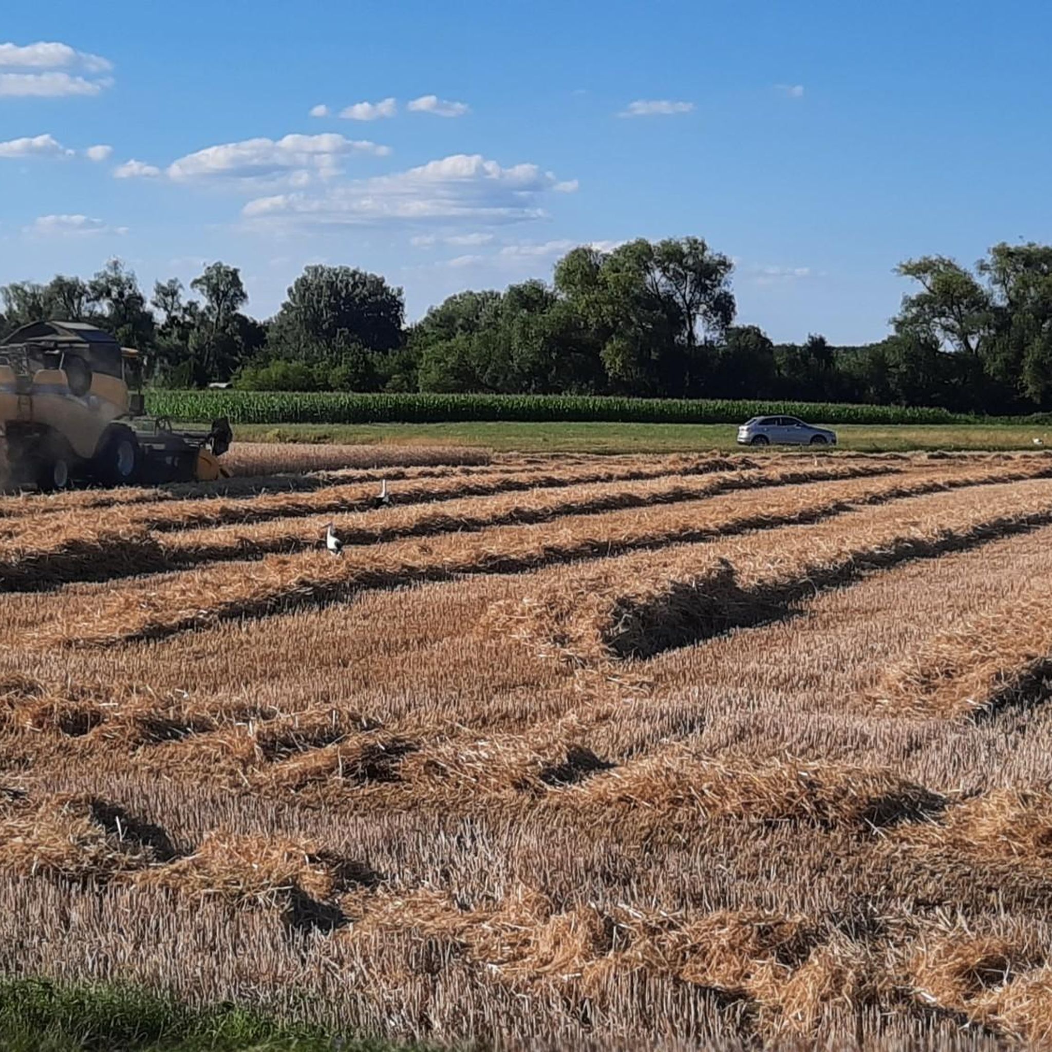
Hiking in Rheinniederung Zwischen Au Am Rhein, Durmersheim Und Rheinstetten
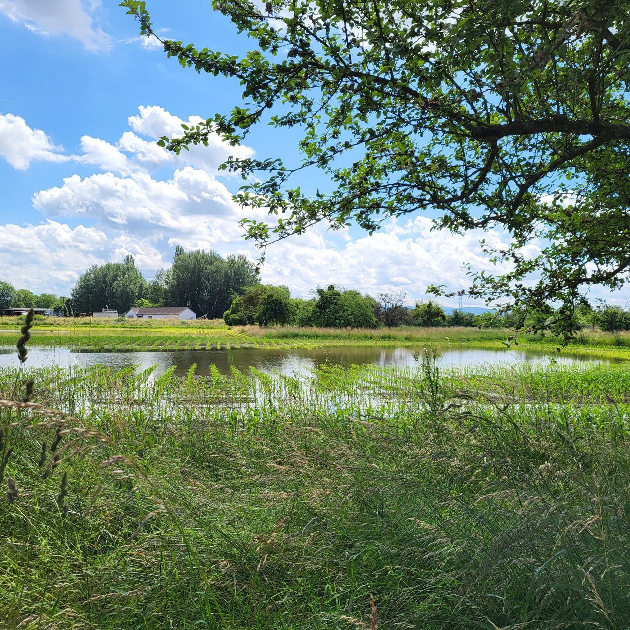
Running Trails in Rheinniederung Zwischen Au Am Rhein, Durmersheim Und Rheinstetten
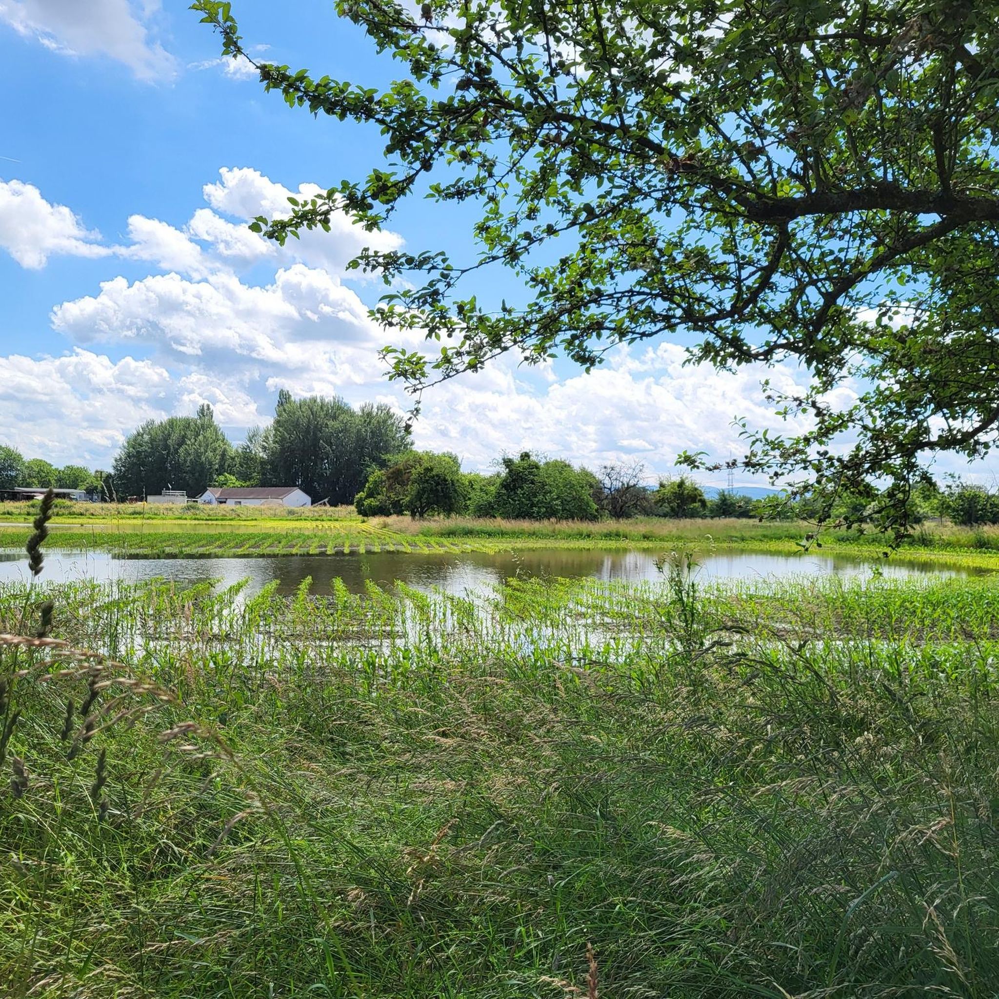
MTB Trails in Rheinniederung Zwischen Au Am Rhein, Durmersheim Und Rheinstetten
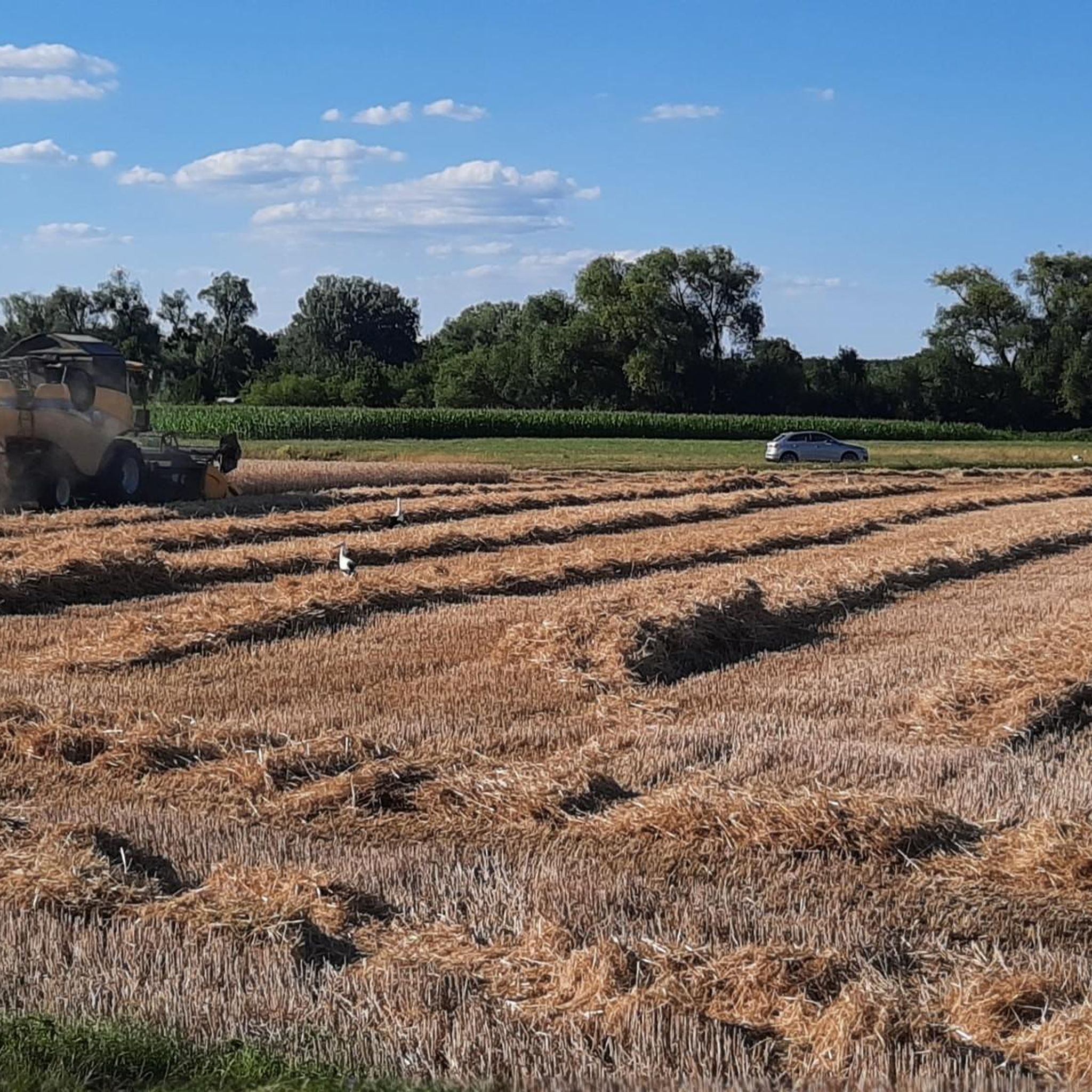
Cycling in Rheinniederung Zwischen Au Am Rhein, Durmersheim Und Rheinstetten
Gravel biking in Rheinniederung Zwischen Au Am Rhein, Durmersheim Und Rheinstetten
Tips from the Community

The pilgrimage church "Our Lady" in Bickesheim was built between 1250 and 1260 by Margrave Rudolf I on the site of an older building. It was continuously expanded. The church is very beautifully furnished and also has some old frescoes to show. Since 1965, the church has also been the parish church for the local community.
0
0

Very nice corner with a great view
0
0

And at night the frogs croak. (Heard mid-April around 11 PM)
0
0

Bickesheim gained great importance through the pilgrimage church, whose historical origin lies in the darkness of history. The Ebersteins, who were very wealthy landowners on the Hardt, allied themselves with the Margraves of Baden in the 13th century through the marriage of Margrave Rudolf I and Kunigunde von Eberstein. In place of an even older Romanesque building, Rudolf I and Kunigunde had a new Gothic church built from 1250 onwards. From that era, above all, come the much-venerated miraculous image "Mary with Child" and with the Eberstein rose, as well as the round pillars in the church.
1
0

Buchtzigsee is a gravel pit lake that has been converted into an outdoor pool, operated by the Ettlingen municipal utilities. The water is chlorine-free yet clear. Adult admission is €5, but it offers all the amenities you'd expect from an outdoor pool: changing rooms, restrooms, showers, fries, and more, and, of course, lifeguards.
0
0

Beautiful route to Ettlingen
0
0

No, that is not a deer, it is supposed to represent a billy goat, which is what the Weirer people are called in jest. There is a funny story behind it... Information on the web under Weirer Geissböck.....
1
0

During the foggy season, you are often lucky enough to get out of the fog and see the sun.
0
0
Frequently Asked Questions
How many road cycling routes are available in Rheinniederung Zwischen Au Am Rhein, Durmersheim Und Rheinstetten?
There are over 300 road cycling routes in the Rheinniederung Zwischen Au Am Rhein, Durmersheim Und Rheinstetten region. This extensive network offers a wide variety of options for cyclists of all levels.
What is the typical terrain like for road cycling in this region?
The region is predominantly flat, making it ideal for road cycling. You'll find an extensive network of well-maintained cycle paths, with most surfaces paved. Some sections, particularly those traversing the Rhine floodplains, may include gravel paths, adding variety to your ride. The flat topography means no particular skill is required for most routes.
Are there road cycling routes suitable for beginners or families?
Yes, the Rheinniederung region is very welcoming for beginners and families. Over 80 of the available routes are classified as easy, featuring mostly paved surfaces and minimal elevation gain. The flat terrain ensures a relaxed and scenic ride for all participants.
What are some interesting natural features or landmarks I can see along the routes?
The region is rich in natural beauty and points of interest. You can cycle through the vast Rhine floodplains, observe the distinctive Federbach stream, and enjoy extensive meadows. Specific highlights include the Rheinniederung Between Au am Rhein, Durmersheim and Rheinstetten Nature Reserve and various viewpoints like the Benches With a View of the Rheinniederung Conservation Area. The Mörsch–Neuburgweier cycle path is also a notable feature.
Are there any challenging routes for experienced road cyclists?
While the region is known for its flat terrain, there are still options for more experienced cyclists looking for longer distances. There are over 50 routes classified as difficult, which typically involve longer distances and can include more varied surfaces or slightly more elevation changes, though significant climbs are rare in this lowland area.
Can I find circular road cycling routes in Rheinniederung Zwischen Au Am Rhein, Durmersheim Und Rheinstetten?
Yes, many of the road cycling routes in the region are designed as loops, allowing you to start and end your ride at the same point. For example, the Mörsch–Neuburgweier cycle path – St. Andreas Church Au am Rhein loop from DHL Paketshop is a popular circular option.
What do other road cyclists enjoy most about cycling in this region?
The area is highly rated by the komoot community, with an average score of 4.5 stars from over 1,300 reviews. Cyclists often praise the well-maintained, predominantly flat cycle paths, the serene natural environment of the Rhine floodplains, and the accessibility of routes for all fitness levels. The scenic views and peaceful atmosphere are frequently highlighted.
How can I reach the starting points of these road cycling routes?
Many routes are accessible by public transport, with various towns like Au am Rhein, Durmersheim, and Rheinstetten serving as good starting points. Parking facilities are also available in these areas, making it convenient to bring your bike by car. Specific parking information can often be found in the details of individual routes.
Are there places to eat or rest along the road cycling routes?
Yes, the region offers several opportunities for refreshments and breaks. Towns like Au am Rhein, Durmersheim, and Rheinstetten have cafes and restaurants. Additionally, the Insel Rott is noted for its fish restaurants, providing a pleasant stop during a cycling tour.
Can I combine my cycling trip with crossing the Rhine?
Absolutely! In Neuburgweier, the Rhine ferry provides an attractive and quick connection to cycle paths on the opposite bank of the Rhine. This opens up possibilities for extending your ride into Alsace and Rhineland-Palatinate, offering a unique cycling experience.
What is a good moderate-difficulty route to explore the area?
For a moderate ride, consider the Mörsch–Ettlingen Cycle Path loop from DHL Paketshop. This 16.3-mile (26.2 km) route offers a varied cycling experience along a dedicated cycle path, taking you through diverse landscapes without being overly strenuous.
Is there a longer route that covers more of the region's cycle paths?
If you're looking for a longer ride, the Cycle path near Au am Rhein – Malsch–Ettlingen Cycle Path loop from Durmersheim Nord is an excellent choice. This 33.2-mile (53.5 km) trail leads through various cycle paths near Au am Rhein, offering an extended exploration of the area's scenic beauty.
Most popular routes in Rheinniederung Zwischen Au Am Rhein, Durmersheim Und Rheinstetten
Most popular attractions in Rheinniederung Zwischen Au Am Rhein, Durmersheim Und Rheinstetten

Get inspired with the komoot mobile app


Explore more
Browse the best Road cycling routes in other regions.
