The best running trails in Stollhofener Platte
4.4
(535)
7,472
runners
545
runs
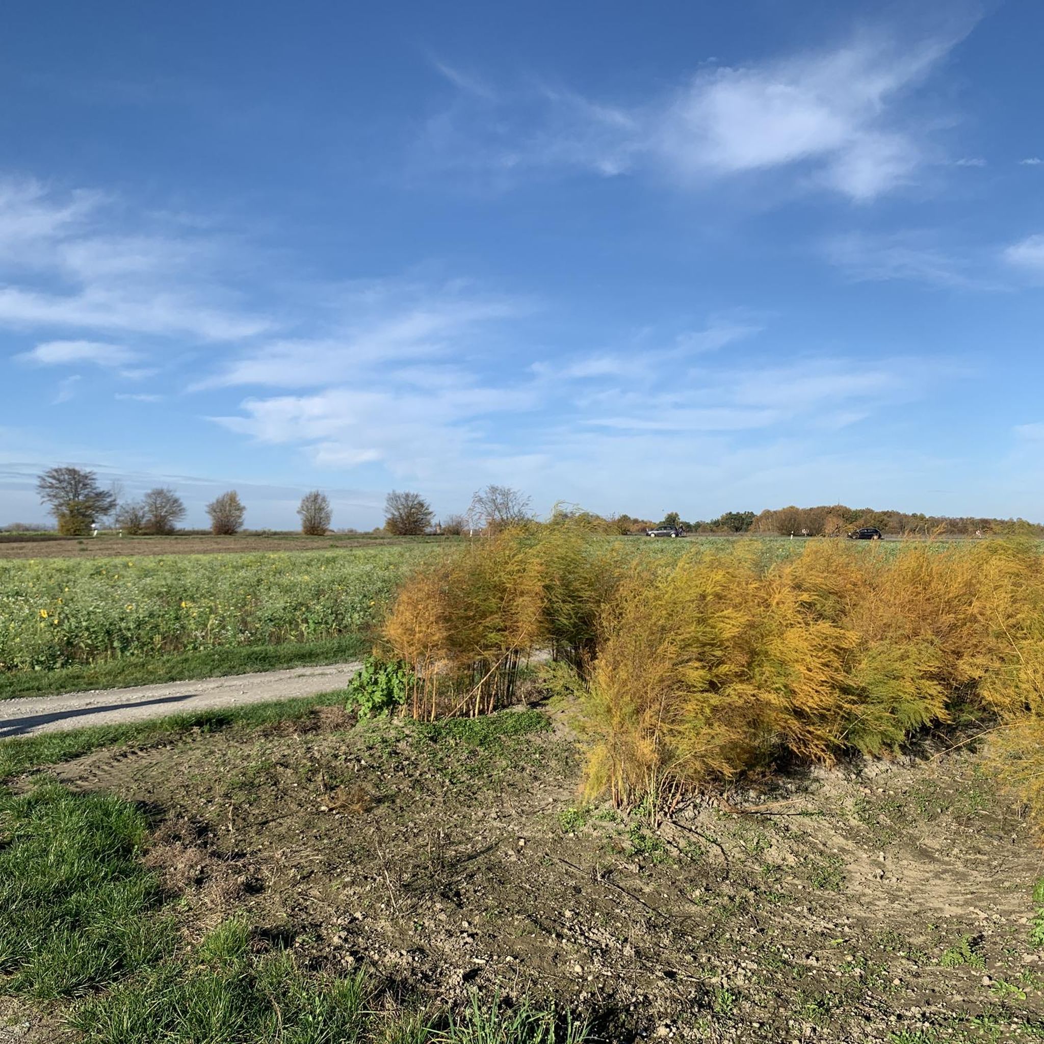
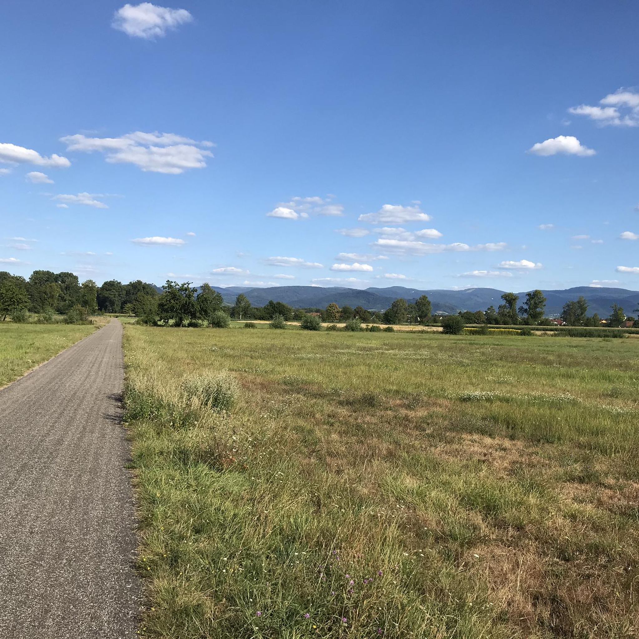
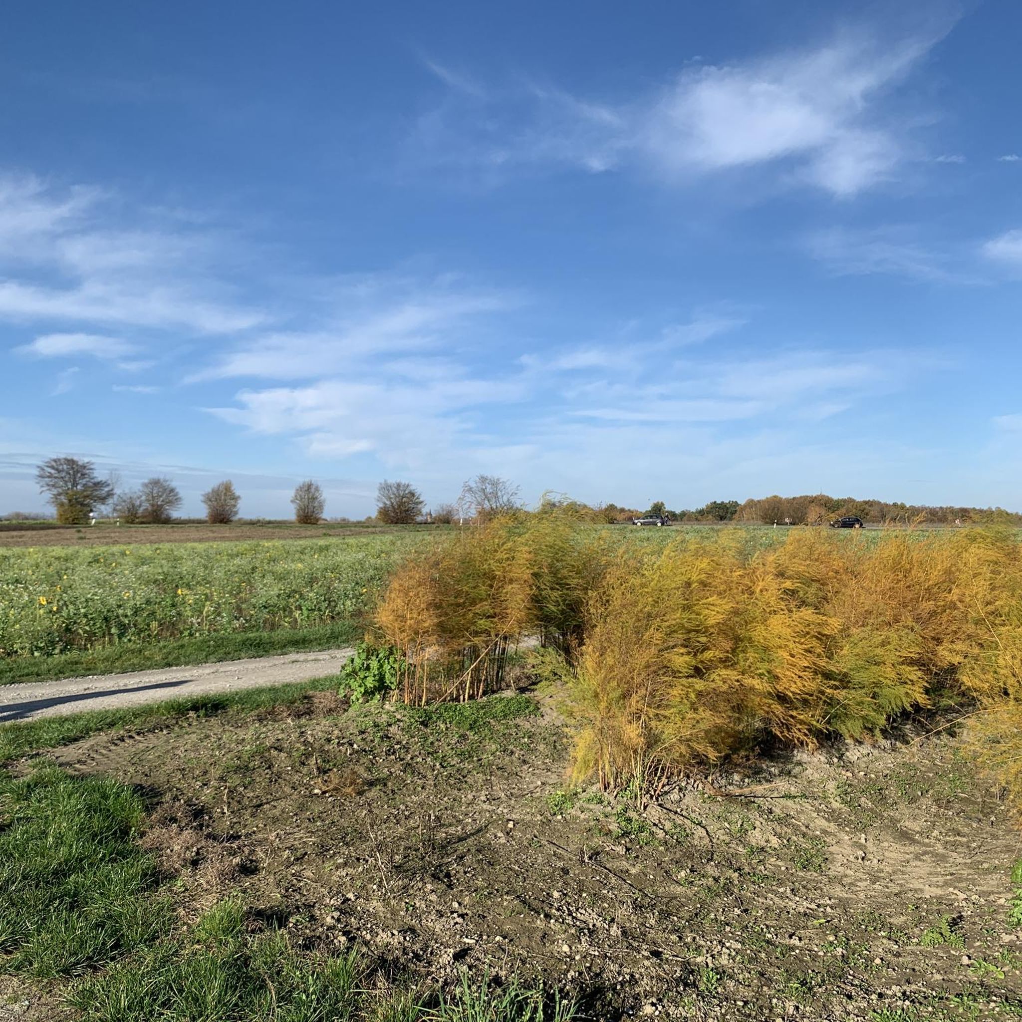
Jogging in Stollhofener Platte offers a largely flat and accessible terrain, making it suitable for various fitness levels. The region is characterized by extensive wooded low-terrace plains, providing shaded routes and a natural environment. Unique dry grasslands, heathlands, and re-formed dune relics add varied backdrops to the running experience. Several lakes, formed from gravel extraction, also feature along routes in the northern part of the area.
Best jogging routes in Stollhofener Platte
- The most popular jogging route is Beautiful gravel…
Last updated: October 3, 2026
4.0
(2)
19
runners
Moderate run. Good fitness required. Mostly paved surfaces. Suitable for all skill levels.
5.0
(1)
13
runners
4.69km
00:29
10m
10m
Easy run. Great for any fitness level. Mostly paved surfaces. Suitable for all skill levels.

5.0
(2)
4
runners
4.31km
00:27
10m
10m
Easy run. Great for any fitness level. Mostly paved surfaces. Suitable for all skill levels.
5.0
(2)
21
runners
7.08km
00:45
10m
10m
Moderate run. Good fitness required. Mostly paved surfaces. Suitable for all skill levels.
16
runners
12.7km
01:19
20m
20m
Moderate run. Good fitness required. Mostly paved surfaces. Suitable for all skill levels.
Get access to more routes and recommendations from other explorers.
Already have an account?
Our route recommendations are based on thousands of hikes, rides, and runs completed by other people on komoot.
Start today with a free account
Your next adventure awaits.
Tips from the Community

"These can still be guessed today". Yes, but that's it.
2
0
if the highlight is too boring, enjoy a nice beer. Ignoring highlights is not so easy when a thousand spam highlights light up on the planning map....
3
1

A beautiful atmosphere with a great reflection on the Oberaltwassersee.
2
0

The Lourdes Grotto near Sinzheim-Schiftung was built in 1996. Benches and a recreation pavilion are also available.
3
2

It's a huge campsite. It's said to be one of the most beautiful in all of Germany.
0
0

A beautifully situated tour with a small refreshment stop at the fishing club.
0
1

If you look from the German side of the Rhine towards France, you can see the Vosges in the distance
1
0

Frequently Asked Questions
How many running routes are available in Stollhofener Platte?
There are over 500 running routes available in Stollhofener Platte, offering a wide variety of options for all fitness levels. You'll find everything from short, easy loops to more moderate distances.
What is the terrain like for running in Stollhofener Platte?
The Stollhofener Platte is characterized by its largely flat and accessible terrain, making it ideal for running. It features extensive wooded low-terrace plains, unique dry grasslands, heathlands, and some re-formed dune relics that add subtle undulations. Paths are often lightly passable or mostly paved.
Are there easy running routes suitable for beginners?
Yes, the region offers many easy running routes perfect for beginners. For example, the Running loop from Airport Karlsruhe/Baden-Baden is an easy 2.9-mile (4.7 km) trail that takes about 29 minutes to complete, leading through flat terrain.
Can I bring my dog on the running trails in Stollhofener Platte?
Many trails in Stollhofener Platte are suitable for running with dogs. However, please be mindful of local regulations, especially within the nature reserve areas, and always keep your dog on a leash to protect wildlife and ensure a pleasant experience for all users.
Are there any family-friendly running routes?
The flat and accessible nature of the Stollhofener Platte makes many routes family-friendly. Shorter, easy loops like the Running loop from Landkreis Rastatt (2.7 miles / 4.3 km) are great options for families looking to enjoy a run together.
What kind of natural features or landmarks can I see while running?
While running, you can experience diverse forested areas, unique dry grasslands, and heathlands. In the northern part of the Platte, you might also encounter several lakes formed from gravel extraction. For specific points of interest, consider routes near the Airport Perimeter Pathway near Hügelsheim or the Soldiers' Grave at Stollhofener Platte.
What do other runners enjoy most about jogging in Stollhofener Platte?
The area is highly rated by the komoot community, with an average score of 4.5 stars from over 430 reviews. Runners often praise the largely flat and accessible terrain, the diverse forested areas providing shade, and the unique natural backdrops like dry grasslands and heathlands.
Are there circular running routes available?
Yes, many routes in Stollhofener Platte are circular, offering convenient starting and ending points. An example is the Deichweg loop from Rheinmünster, a moderate 4.4-mile (7 km) trail.
What is the best time of year for running in Stollhofener Platte?
The Stollhofener Platte is suitable for running year-round. Spring and autumn offer pleasant temperatures and beautiful scenery. Summer provides shaded routes through the extensive wooded areas, while winter can offer crisp, clear runs, though conditions may vary.
Are there any cafes or places to eat near the running routes?
While the guide focuses on the routes themselves, the region around Stollhofener Platte, particularly near towns like Rheinmünster or the Airport Karlsruhe/Baden-Baden, offers options for refreshments. For instance, the DaVinci Restaurant at Baden Airpark is a nearby option.
Is public transport available to access the running trails?
Information on specific public transport links directly to trailheads is best checked with local transport authorities. However, the region is generally accessible, and major hubs like Airport Karlsruhe/Baden-Baden are well-connected, providing potential starting points for routes such as the Beautiful gravel section – View of the Rhine loop from Airport Karlsruhe/Baden-Baden.
Are Komoot cycling routes in Stollhofener Platte suitable for jogging?
Many Komoot cycling routes in Stollhofener Platte, especially those on paved or well-maintained gravel paths through flat terrain, can also be suitable for jogging. Always check the route details and terrain description to ensure it aligns with your running preferences and safety.
Most popular routes in Stollhofener Platte
Most popular attractions in Stollhofener Platte

Get inspired with the komoot mobile app


Explore more
Browse the best Running Trails & Routes in other regions.
