The best mountain hikes in Dauner Maare
5.0
(84)
358
hikers
2
hikes
Mountaineering in Dauner Maare explores a unique volcanic landscape in Germany's Volcanic Eifel region. The terrain is characterized by its distinctive maars, which are volcanic lakes framed by wooded slopes and surrounded by cinder cone volcanoes. These routes often feature varied elevation changes, offering both challenging ascents and scenic paths around the water bodies. The area's geological history provides a diverse environment for outdoor activities.
Best mountaineering routes in Dauner Maare
- The most popular mountaineering route is View of the…
Last updated: October 5, 2026
5.0
(1)
3
hikers
Moderate mountaineering route. Good fitness required. Easily-accessible paths. Suitable for all skill levels.
1
hikers
Easy mountaineering route. Great for any fitness level. Easily-accessible paths. Suitable for all skill levels.

5.0
(9)
31
hikers
Hard mountaineering route. Good fitness required. Sure-footedness, sturdy shoes and alpine experience required.
5.0
(5)
28
hikers
Hard mountaineering route. Great for any fitness level. Sure-footedness, sturdy shoes and alpine experience required.
7
hikers
Hard mountaineering route. Great for any fitness level. Sure-footedness, sturdy shoes and alpine experience required.
Our route recommendations are based on thousands of hikes, rides, and runs completed by other people on komoot.
Start today with a free account
Your next adventure awaits.
Popular around Dauner Maare
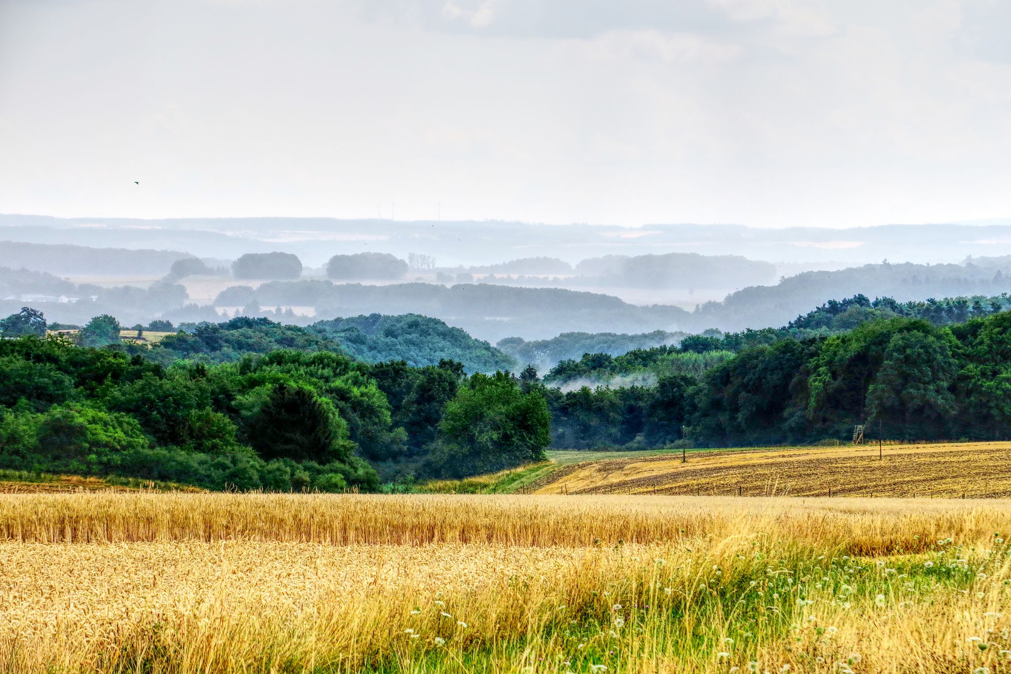
The National Natural Landscapes in Rheinland-Pfalz

Excellent paths in the Vulkaneifel – Explore the HeimatSpuren
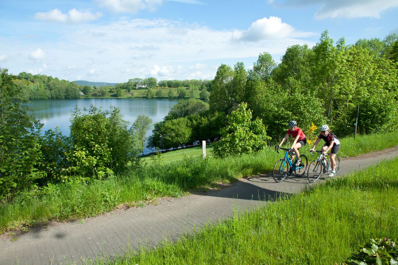
Discover Germany with the Tour in a motorhome and racing bike

Volcanoes, water, forest – the partner trails of the Eifelsteig
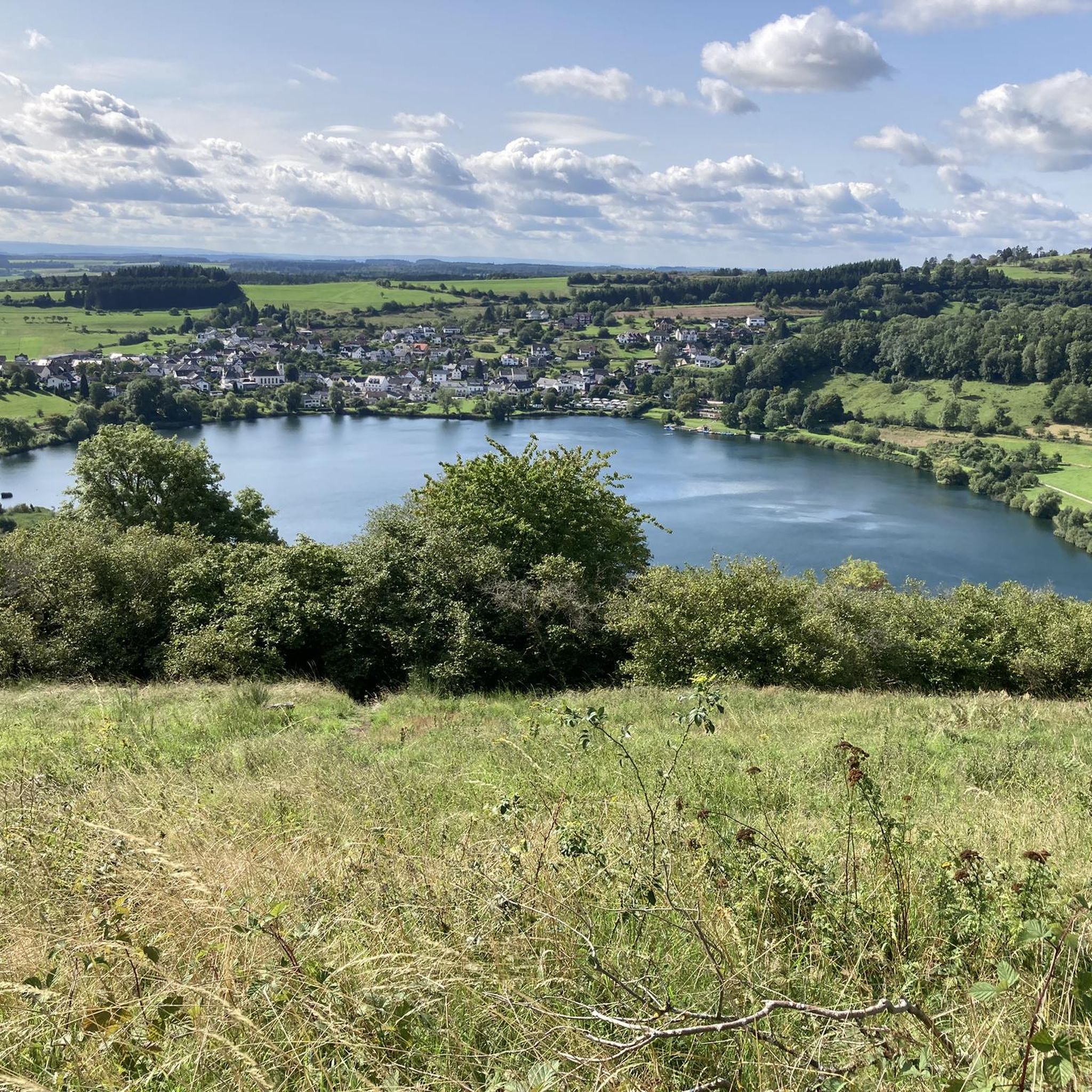
Hiking in Dauner Maare
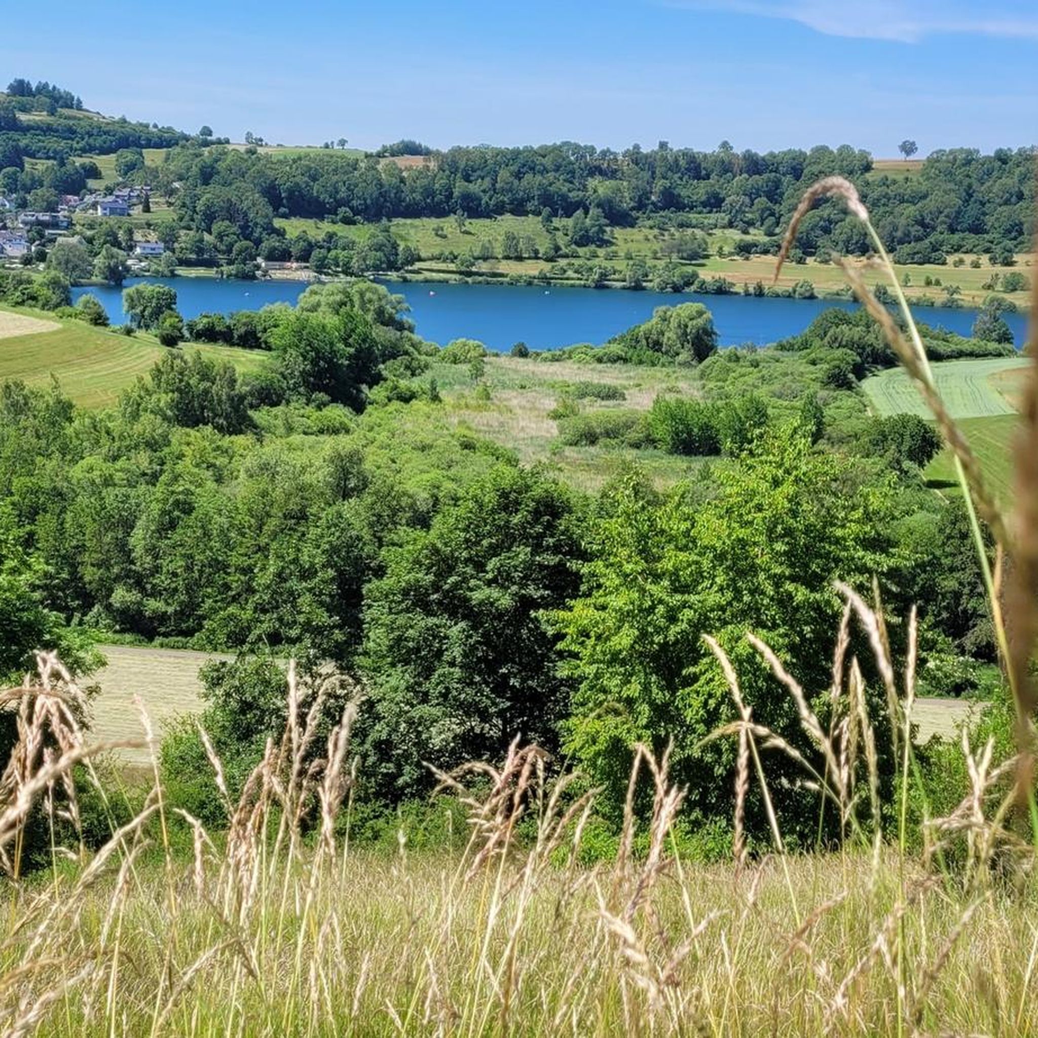
Cycling in Dauner Maare
MTB Trails in Dauner Maare
Running Trails in Dauner Maare
Road Cycling Routes in Dauner Maare
Gravel biking in Dauner Maare
Other adventures in Dauner Maare


Tips from the Community

Pace yourself well if you are a beginner! Possibly don't do all 3 stages. Otherwise TIP: Start early! I always leave at 6, half past 6. Then there are still few people. Afterwards it quickly gets crowded. This way you are alone at the summit around 10 am with your well-deserved summit beer and can enjoy the sunrise along the way. Pure Eifel! 🌄
0
0
Perfect trail with various difficulties, there is something for everyone. Best to start veeery early! I always set off at 6, half past 6, because later it's always hellish. Unfortunately, it's slowly becoming a bit overcrowded, but in the early morning it's still "pure Eifel": the rushing of the Lieser, fog, tranquility and simply perfect climbing fun! That way, you're alone at the summit for a summit beer after all 3 stages by 10 am 🌄🤝📯
0
0

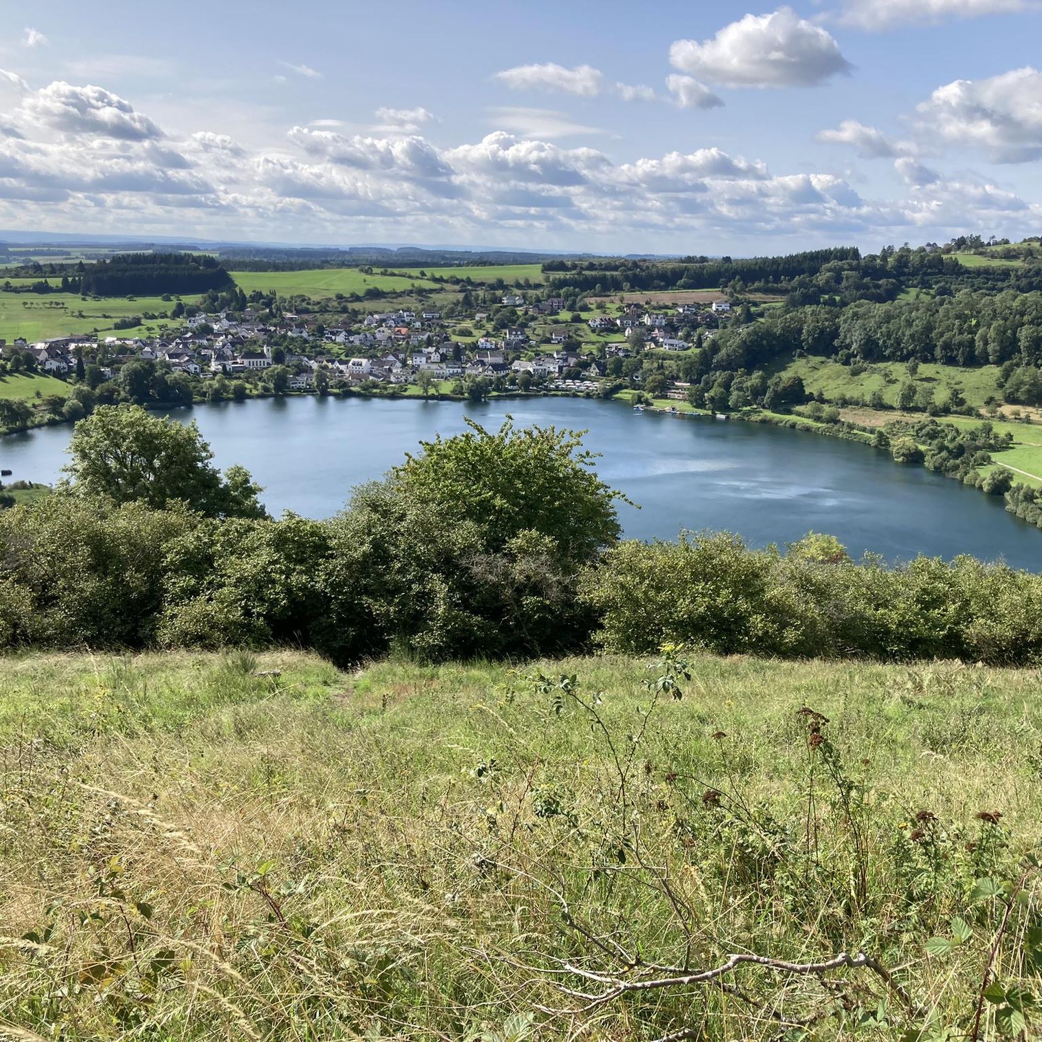
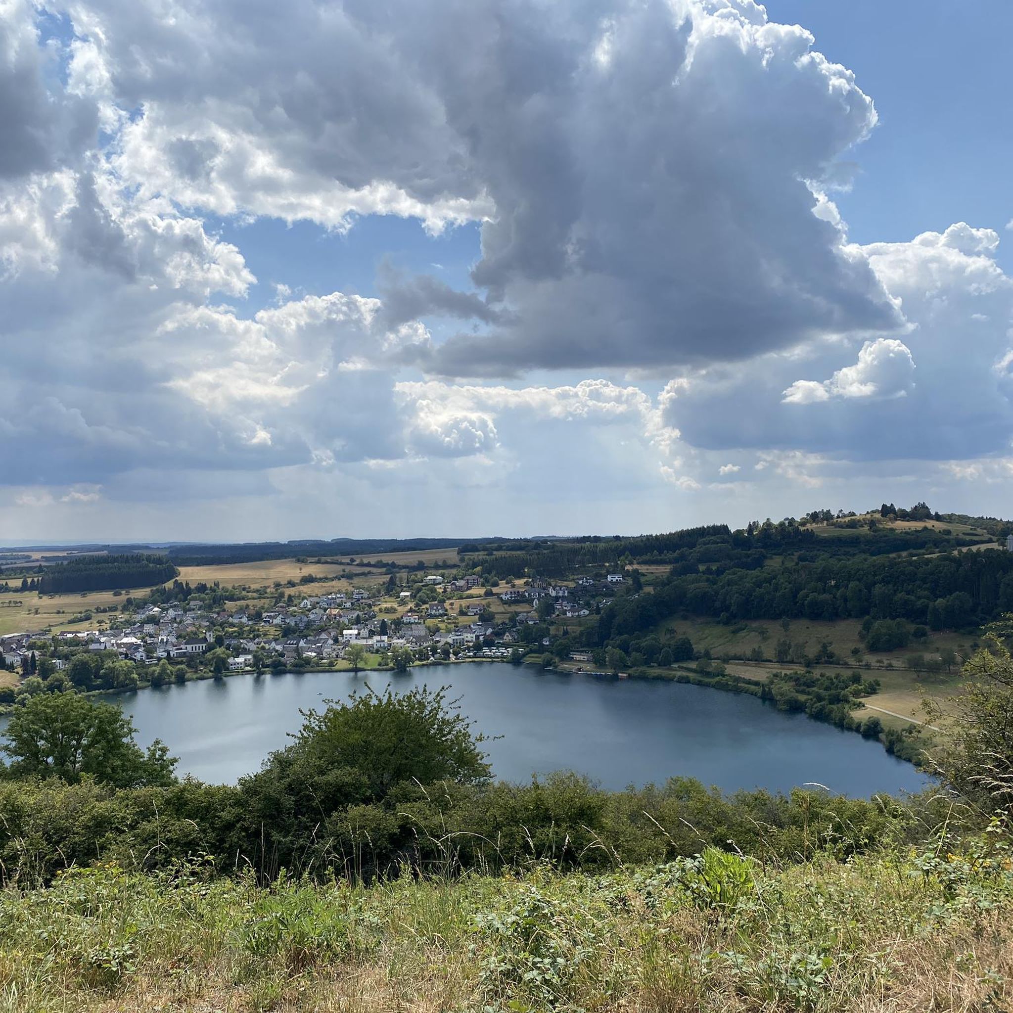
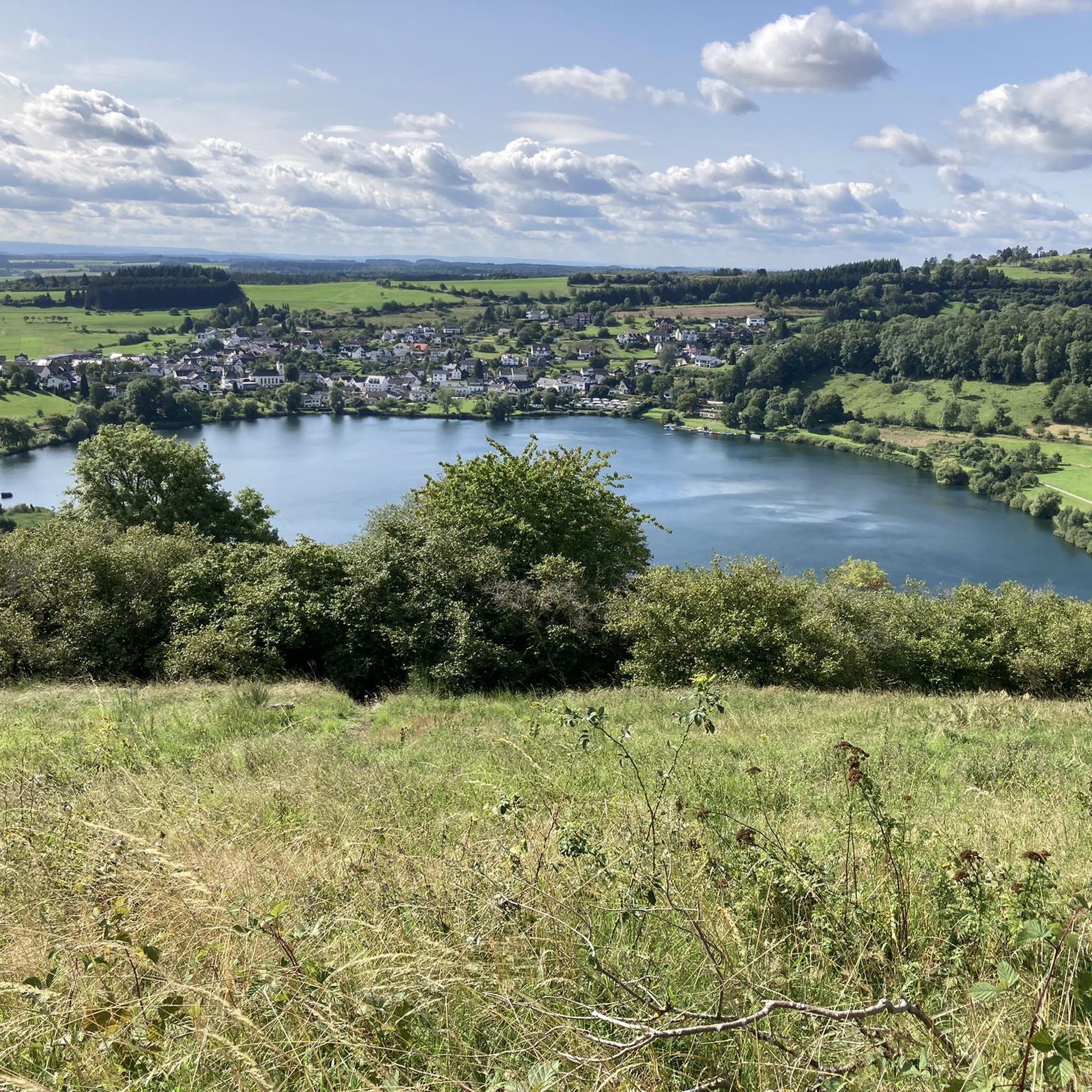
Not possible to see the lake anymore in 2026 due to growth of the bushes
0
0

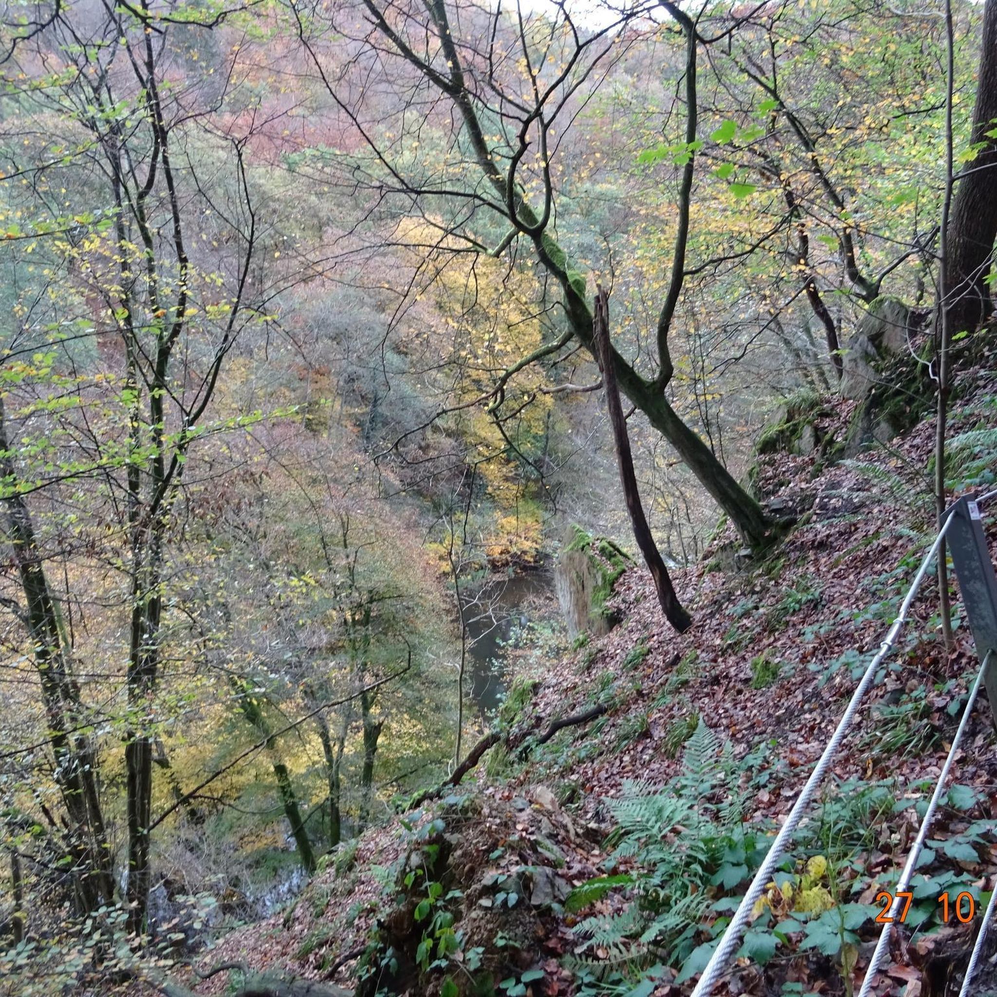
…a great challenging via ferrata in 3 stages with difficulties A - D along above the Lieser
1
0

Very nice view of the entire town.
0
0
Behind the Daun ski lift begins the mining zone for volcanic rock near the Gemünden Maar.
0
0
Small ski lift (if there is a bit more snow in winter)
0
0

This is where real climbers come into their own. But that wasn't part of our route.
0
0
Frequently Asked Questions
What kind of terrain can I expect on mountaineering routes in Dauner Maare?
The terrain in Dauner Maare is defined by its unique volcanic origins. You'll encounter varied elevation changes, including challenging ascents and descents, as well as scenic paths around the distinctive volcanic lakes, known as Maare. The routes often lead through lush, wooded slopes and offer panoramic views from elevated positions, showcasing the region's geological history.
Are there any easy mountaineering routes suitable for beginners in Dauner Maare?
Yes, Dauner Maare offers routes suitable for various ability levels, including easier options. For instance, the Weinfelder Maar viewpoint – Dronke Tower on the Mäuseberg loop from Schalkenmehren is an easy 1.9-mile (3.0 km) trail that takes about 50 minutes to complete, leading through wooded hills to a significant lookout tower.
What natural landmarks or viewpoints can I expect to see on mountaineering routes in Dauner Maare?
Mountaineering in Dauner Maare offers breathtaking views of its unique volcanic landscape. Key landmarks include the 'Maare' themselves, such as the Gemündener Maar, Weinfelder Maar, and Schalkenmehrener Maar. You can also visit the Dronke Tower on the Mäuseberg, which provides panoramic vistas of the maars and the wider Eifel region. Another significant viewpoint is the Maarkreuz, offering expansive views from a tuff wall surrounding a maar.
Are there circular mountaineering routes available in Dauner Maare?
Yes, many of the mountaineering routes in Dauner Maare are circular, allowing you to start and end at the same point. A popular option is the View of the Gemündener Maar – Weinfelder Church loop from Schalkenmehren, which is 5.2 miles (8.3 km) long and connects two prominent maars. Another is the Weinfelder Church – View of the Gemündener Maar loop from Schalkenmehren, a moderate 7.0-mile (11.3 km) path offering extended views.
Can I bring my dog on the mountaineering routes in Dauner Maare?
Generally, dogs are welcome on the trails in Dauner Maare. However, it's always advisable to keep your dog on a leash, especially in nature reserve areas, near livestock, or in crowded sections, to protect wildlife and ensure the safety of other hikers. Please be mindful of local regulations and clean up after your pet.
What makes the Maare in Dauner Maare so special?
The Maare are unique volcanic lakes formed by phreatomagmatic explosions thousands of years ago, often referred to as the 'eyes of the Eifel.' The region boasts the highest density of maars worldwide, making it a globally unique geological site. The Schalkenmehrener Maar is particularly notable as a double maar, featuring both a lake and a dry maar that is now a raised bog.
How can I reach the starting points of mountaineering routes in Dauner Maare by public transport?
The town of Daun serves as a good starting point for exploring the Maare region. While specific public transport connections to every trailhead might vary, Daun is generally accessible by bus services. It's recommended to check local bus schedules for connections from larger towns to Daun and then to specific villages like Schalkenmehren, which is a common starting point for many routes around the Maare.
Are there any opportunities for swimming or water activities near the mountaineering trails?
Yes, the Gemündener Maar and Schalkenmehrener Maar offer opportunities for swimming and boat rental during the summer months. These natural outdoor pools provide a refreshing break after a mountaineering tour. You can find more information about these lakes on the Lakes in Dauner Maare guide.
What do other mountaineers enjoy most about the routes in Dauner Maare?
The mountaineering routes in Dauner Maare are highly rated by the komoot community, with an average score of 4.8 stars from over 140 reviews. Reviewers often praise the stunning views of the volcanic lakes, the diverse and engaging terrain, and the well-maintained paths that offer a genuine mountaineering feel within a unique natural setting.
Are there any historical or cultural sites along the mountaineering routes?
While the primary focus is on natural beauty, the Weinfelder Maar, also known as 'Totenmaar,' has a nearby cemetery and chapel, adding a touch of history to the natural landscape. The town of Daun itself, a climatic and Kneipp health resort, also offers additional amenities and a glimpse into local culture.
What is the best time of year to go mountaineering in Dauner Maare?
The Dauner Maare region is beautiful year-round, but the best time for mountaineering is typically from spring to autumn (April to October). During these months, the weather is generally mild, and the trails are in good condition. Spring brings blooming flora, while autumn offers vibrant foliage. Summer allows for combining hikes with swimming in the Maare.
Are there any challenging routes for experienced mountaineers?
Yes, while there are easier options, Dauner Maare also offers more challenging routes with significant elevation changes. For example, the Keep of Oberburg Castle loop from Manderscheid is a difficult 2.6-mile (4.3 km) route, and the Wäschebach Suspension Bridge loop from Manderscheid is another difficult 4.8-mile (7.7 km) option, both providing a more strenuous experience.
Most popular routes in Dauner Maare
Most popular attractions in Dauner Maare

Get inspired with the komoot mobile app


Explore more
Browse the best Mountain Hikes & Routes in other regions.
