Naturpark Pfälzerwald - Kernzone Quellgebiet Der Wieslauter
Naturpark Pfälzerwald - Kernzone Quellgebiet Der Wieslauter
The best running trails in Naturpark Pfälzerwald - Kernzone Quellgebiet Der Wieslauter
4.6
(310)
4,460
runners
334
runs
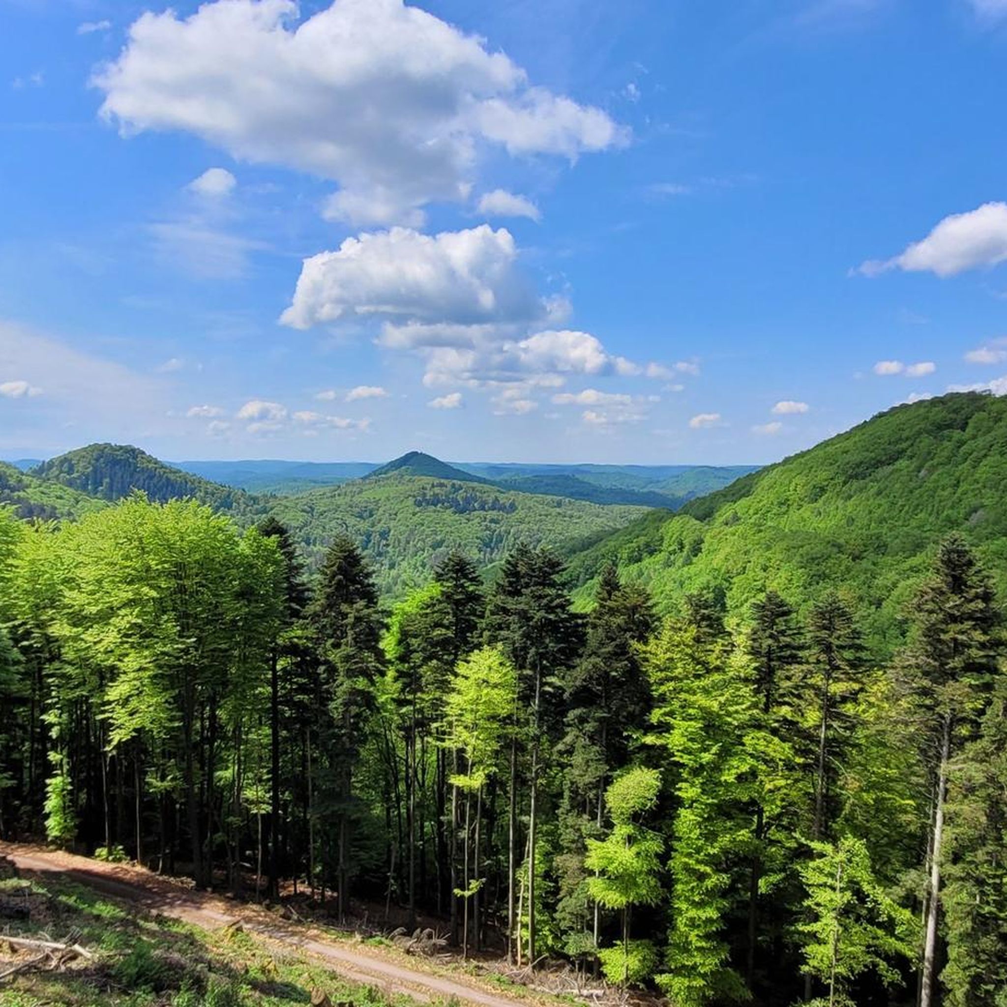
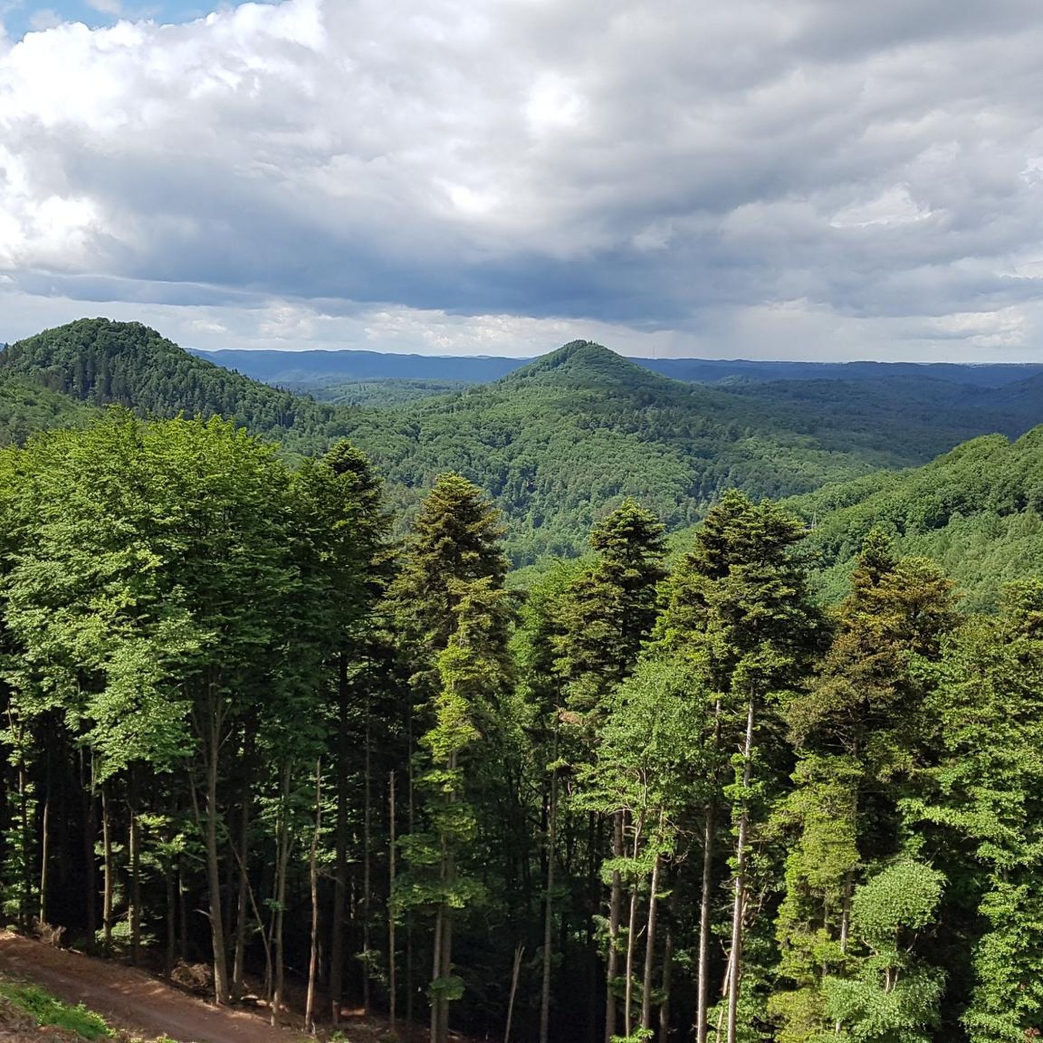
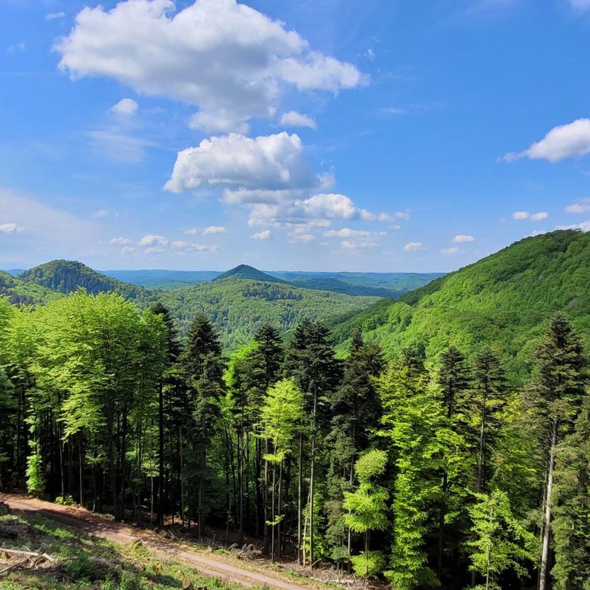
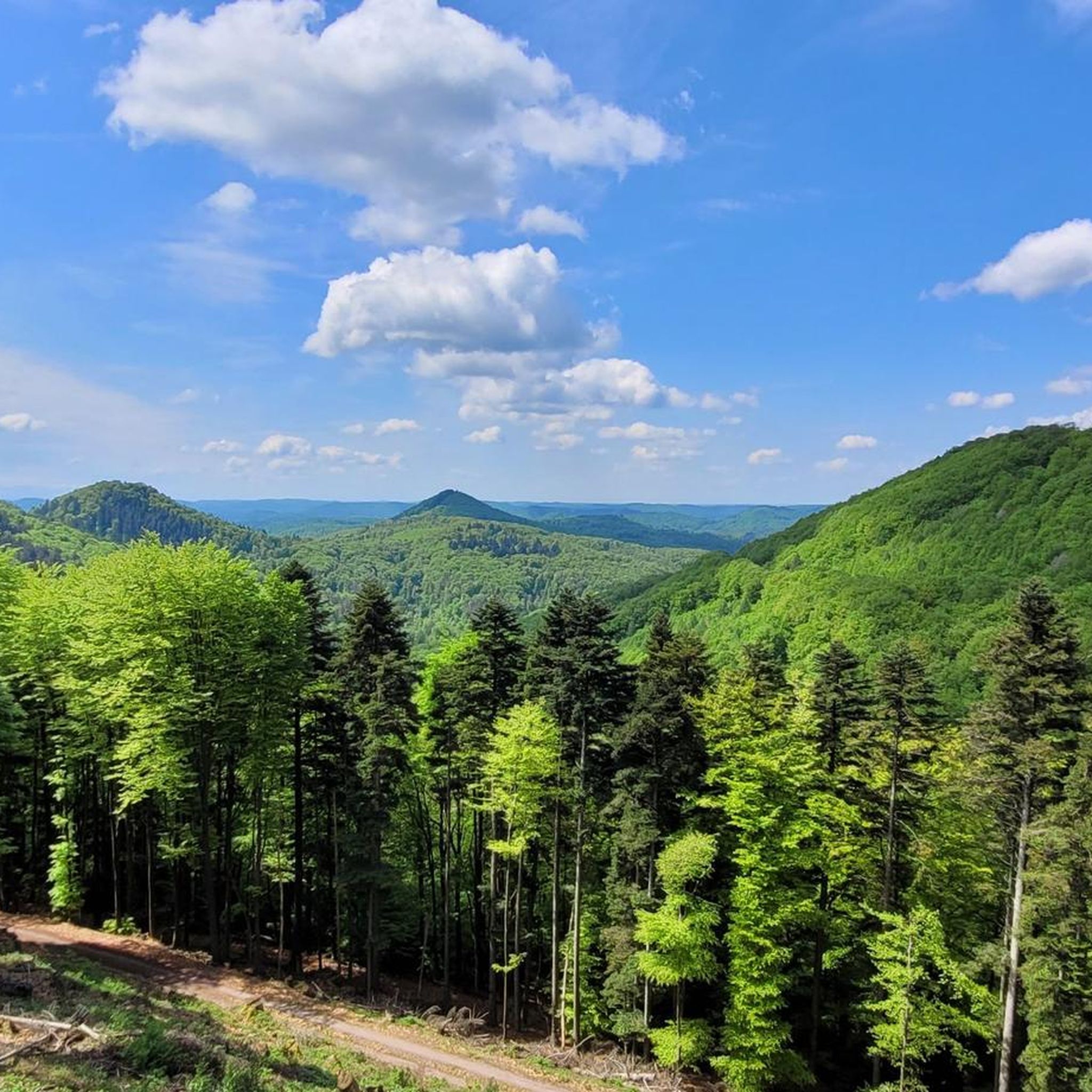
Jogging routes in Naturpark Pfälzerwald - Kernzone Quellgebiet Der Wieslauter traverse a landscape characterized by dense forests, rolling hills, and river valleys. This core zone of the UNESCO Biosphere Reserve "Pfälzerwald - Nordvogesen" features distinctive bunter sandstone formations, steep slopes, and rock pinnacles. The area encompasses the source of the Wieslauter river, with numerous spring-fed streams flowing through deeply incised valleys. Elevations range from approximately 220m to 560m, offering varied terrain for runners.
Best jogging routes in Naturpark Pfälzerwald -…
Last updated: July 5, 2026
70
runners
Moderate run. Good fitness required. Mostly paved surfaces. Suitable for all skill levels.
4.4
(5)
56
runners
Hard run. Very good fitness required. Mostly paved surfaces. Suitable for all skill levels.

Sign up for free
5.0
(1)
21
runners
Hard run. Very good fitness required. Mostly paved surfaces. Suitable for all skill levels.
15
runners
16.1km
02:00
400m
400m
Hard run. Very good fitness required. Mostly paved surfaces. Suitable for all skill levels.
5.0
(3)
13
runners
Moderate run. Good fitness required. Mostly paved surfaces. Suitable for all skill levels.
Get access to more routes and recommendations from other explorers.
Sign up for free
Already have an account?
Our route recommendations are based on thousands of hikes, rides, and runs completed by other people on komoot.
Start today with a free account
Your next adventure awaits.
Login or Signup
Popular around Naturpark Pfälzerwald - Kernzone Quellgebiet Der Wieslauter
Cycling in Naturpark Pfälzerwald - Kernzone Quellgebiet Der Wieslauter
Hiking in Naturpark Pfälzerwald - Kernzone Quellgebiet Der Wieslauter
MTB Trails in Naturpark Pfälzerwald - Kernzone Quellgebiet Der Wieslauter
Road Cycling Routes in Naturpark Pfälzerwald - Kernzone Quellgebiet Der Wieslauter

Gravel biking in Naturpark Pfälzerwald - Kernzone Quellgebiet Der Wieslauter
Mountain Hikes in Naturpark Pfälzerwald - Kernzone Quellgebiet Der Wieslauter
Tips from the Community

The Dahn landmark with a vertical rock face over 60m high and a pulpit with a cross. Illuminated at night and visible from afar.
3
0


The Ritterstein No. 71, inscribed "Am Holläenderklotz," is located approximately 600 meters north of the Luitpold Tower. The Ritterstein stands in the center of a hiking parking lot. Next to the Ritterstein grows an oak tree nearly 20 meters tall. The inscription is misspelled as "Holläender." At the end of the 17th century, numerous Dutchmen came to the Palatinate Forest to acquire particularly large tree trunks for shipbuilding. This led to the development of names such as Holländerschlag (Dutch clearing), Holländerbäume (Dutch trees), Holländerholz (Dutch wood), Holländerweg (Dutch path), and Holländerfahrer (Dutchman driver). ...
1
0

The Hochstein remains one of the most impressive rock formations in the Palatinate, especially since it is less obscured by forest than others. From the top, there is a fantastic view (for climbers).
6
0

Slanted stairs, sure-footedness required.
1
0

Protestant church built in 1778.
4
0
Seating area with memorial stone to forester Gethmann at a crossroads.
6
1
One of the many boundary and knight stones in the area.
3
0
Frequently Asked Questions
How many running routes are available in Naturpark Pfälzerwald - Kernzone Quellgebiet Der Wieslauter?
There are nearly 300 dedicated running routes in Naturpark Pfälzerwald - Kernzone Quellgebiet Der Wieslauter. This extensive network offers a wide variety of trails for all preferences and fitness levels.
What are the difficulty levels of the running trails in this region?
The running trails in Naturpark Pfälzerwald - Kernzone Quellgebiet Der Wieslauter cater to all abilities. You'll find 21 easy routes perfect for beginners, 149 moderate trails, and 126 difficult routes for more experienced runners seeking a challenge.
Are there any easy running routes suitable for beginners?
Yes, beginners can enjoy 21 easy running routes in the region. These trails typically feature gentler terrain and less elevation gain, making them ideal for those new to running or looking for a relaxed jog. An example of a moderate route that could be a good starting point is the Heidenhübel loop from Hinterweidenthal Ort, which is just under 10 km.
What kind of terrain can I expect on the running trails?
The terrain in Naturpark Pfälzerwald - Kernzone Quellgebiet Der Wieslauter is diverse, characterized by dense forests, rolling hills, and river valleys. You'll encounter a mix of forest paths, natural contours, and some sections with significant elevation changes, especially on more difficult routes. Sandstone formations are also a prominent feature of the landscape.
Are there any challenging running trails for advanced runners?
Absolutely. For advanced runners, there are 126 difficult routes available. These trails often feature significant elevation changes and longer distances, providing a demanding workout. A notable challenging route is the Luitpold Tower on Weißenberg – Hunting Rocks loop from Burg Gräfenstein, covering 16 km with considerable ascent.
Can I find circular running routes in Naturpark Pfälzerwald - Kernzone Quellgebiet Der Wieslauter?
Yes, many of the running routes in the region are circular, allowing you to start and finish at the same point. For instance, the popular Running loop from Hinterweidenthal Ort is a 12 km circular trail, and the challenging Teufelstisch Rock Formation loop from Hinterweidenthal Ort also forms a loop.
What do other runners say about the trails in Naturpark Pfälzerwald - Kernzone Quellgebiet Der Wieslauter?
The running routes in this region are highly regarded by the komoot community, with an impressive average rating of 4.6 stars from over 300 reviews. Runners frequently praise the varied forest terrain, scenic views, and the well-maintained paths that make for an enjoyable experience.
Are the running routes dog-friendly?
Generally, dogs are welcome on the running trails in Naturpark Pfälzerwald - Kernzone Quellgebiet Der Wieslauter, provided they are kept on a leash. As it's a natural park, it's important to respect wildlife and other visitors. Always check local signage for any specific restrictions in certain areas.
What are some interesting sights or landmarks I can see along the running routes?
The region offers several natural and historical points of interest. You might encounter unique rock formations like the Wild Boar Rock, or explore the serene Zieglertal in the Wieslauter Spring Area Core Zone. The Königswoog lake is another beautiful spot to discover while running.
Is there public transport access to the running trails?
Public transport options to reach the trailheads exist, though they might be limited depending on the specific starting point. Hinterweidenthal Ort, a common starting point for several routes, is generally accessible by regional bus services. It's advisable to check local bus schedules for the most up-to-date information before planning your trip.
Are there parking facilities available near the running routes?
Yes, many trailheads, especially those in and around villages like Hinterweidenthal Ort, offer designated parking areas for visitors. These are often well-marked, but it's always a good idea to arrive early during peak times to secure a spot.
When is the best time of year to go running in Naturpark Pfälzerwald - Kernzone Quellgebiet Der Wieslauter?
The spring and autumn months are particularly popular for running in Naturpark Pfälzerwald - Kernzone Quellgebiet Der Wieslauter, offering pleasant temperatures and beautiful scenery with blooming flora or vibrant fall foliage. Summer can also be enjoyable, especially in the cooler forest sections, while winter running is possible but requires appropriate gear for potentially icy or snowy conditions.
Most popular routes in Naturpark Pfälzerwald - Kernzone Quellgebiet Der Wieslauter
Most popular attractions in Naturpark Pfälzerwald - Kernzone Quellgebiet Der Wieslauter

Get inspired with the komoot mobile app


Explore more
Browse the best Running Trails & Routes in other regions.
