The best running trails in Geo-Naturpark Bergstraße-Odenwald
4.4
(8581)
108,948
runners
5,784
runs
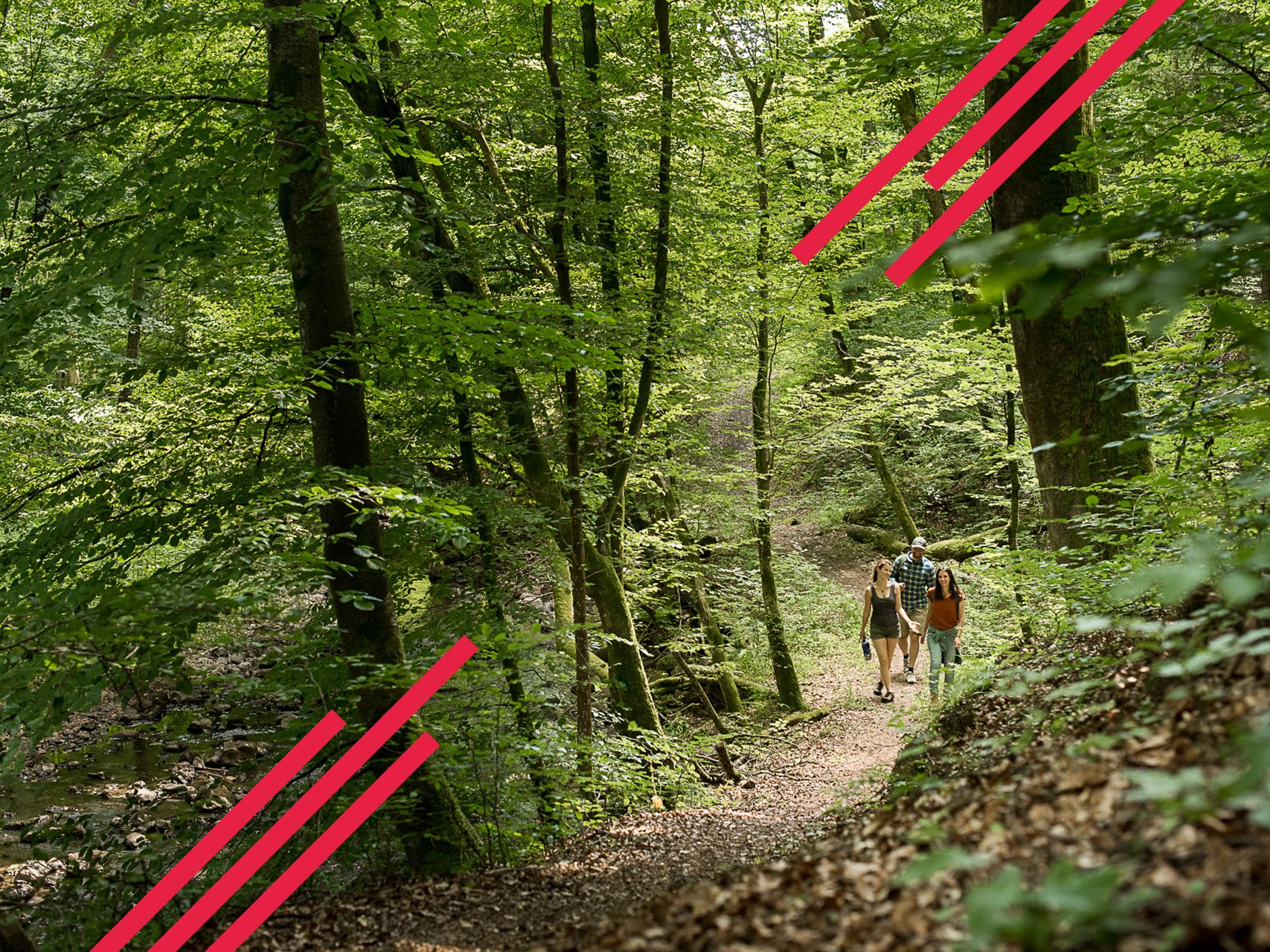
Jogging routes in Geo-Naturpark Bergstraße-Odenwald traverse a diverse landscape spanning 3,800 km² between the Rhine, Bergstraße, Odenwald, Main, and Neckar rivers. The region features a varied topography, from the mild climate of the Bergstraße with its sun-drenched slopes to the rolling hills and extensive woodlands of the eastern Odenwald. Elevations range from the Rhine Plain to peaks like the Katzenbuckel at 626 meters, offering a mix of flat paths and demanding climbs. The area is characterized by a network of…
Last updated: August 7, 2026
3.0
(3)
28
runners
10.5km
01:16
310m
320m
Hard run. Very good fitness required. Mostly paved surfaces. Suitable for all skill levels.
4.4
(73)
1,505
runners
Moderate run. Good fitness required. Mostly paved surfaces. Suitable for all skill levels.

Sign up for free
12
runners
9.82km
01:16
330m
320m
Hard run. Very good fitness required. Sure-footedness, sturdy shoes and alpine experience required.
4.4
(19)
765
runners
Moderate run. Good fitness required. Mostly paved surfaces. Suitable for all skill levels.
4.2
(25)
812
runners
Moderate run. Good fitness required. Mostly paved surfaces. Suitable for all skill levels.
Get access to more routes and recommendations from other explorers.
Sign up for free
Already have an account?
Our route recommendations are based on thousands of hikes, rides, and runs completed by other people on komoot.
Start today with a free account
Your next adventure awaits.
Login or Signup
Popular around Geo-Naturpark Bergstraße-Odenwald
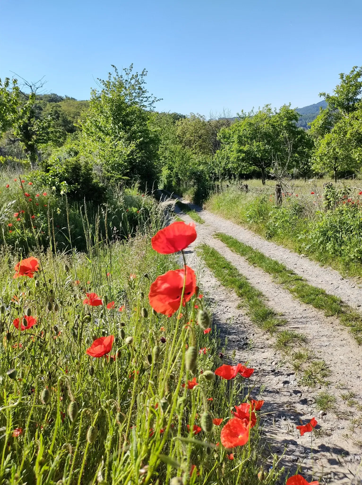
Bergsträßer Blütenweg – Between vines and flowers
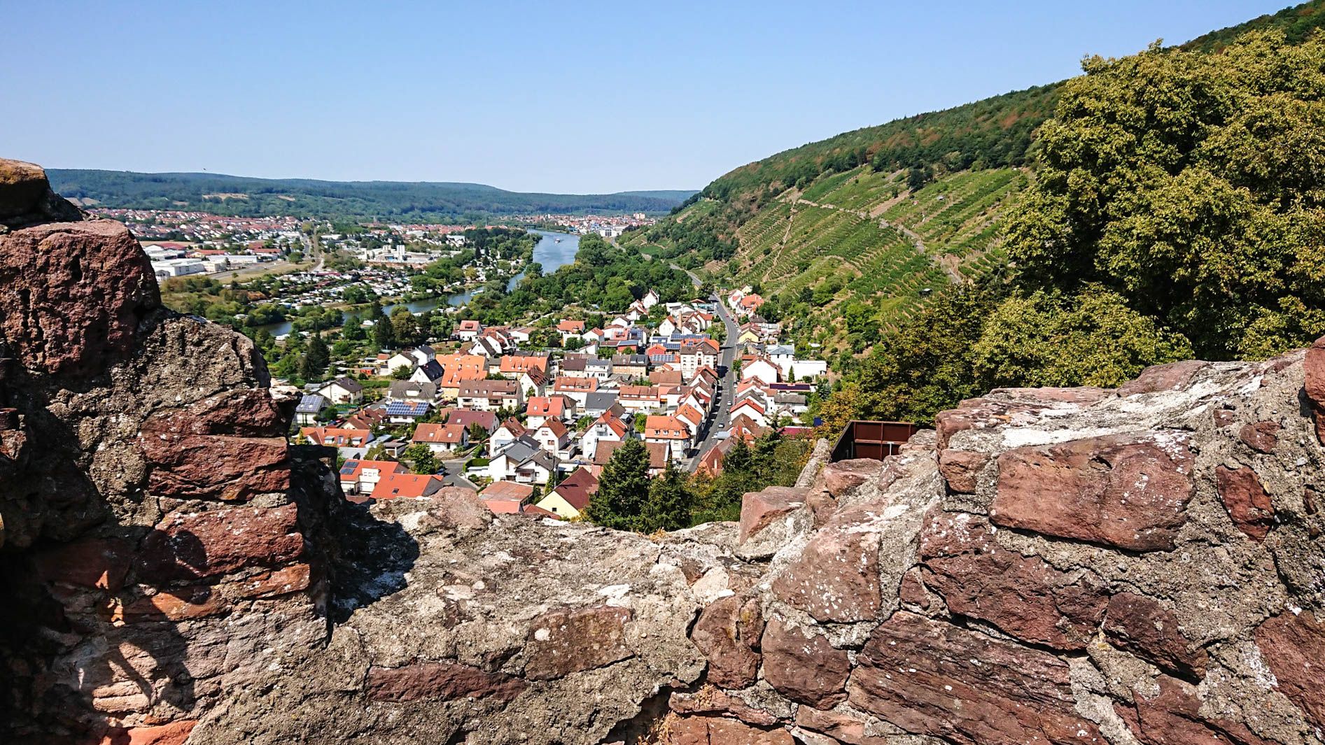
Franconian Red Wine Trail — From vineyards to the Main River
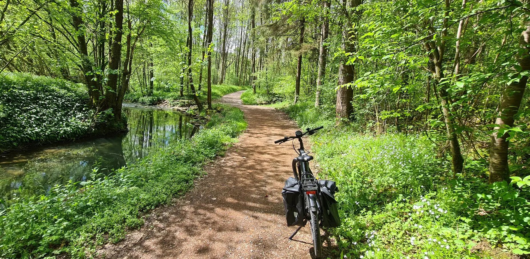
Germany's Main-Tauber-Franconian Radachter – two loops, one experience

German Limes Cycle Path – Riding from the Rhine to the Danube
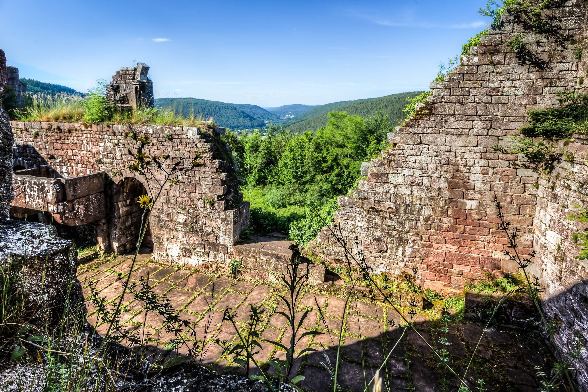
The Nibelungensteig in 7 stages – Simply legendary!
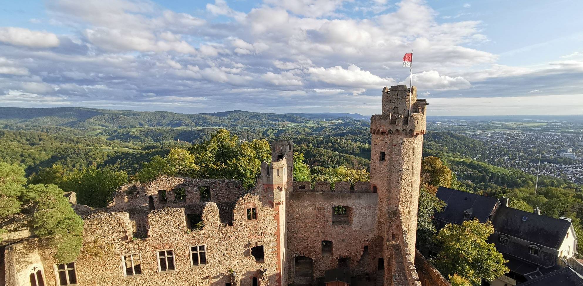
Burgensteig Bergstraße – In the footsteps of knights, hiking in 9 stages
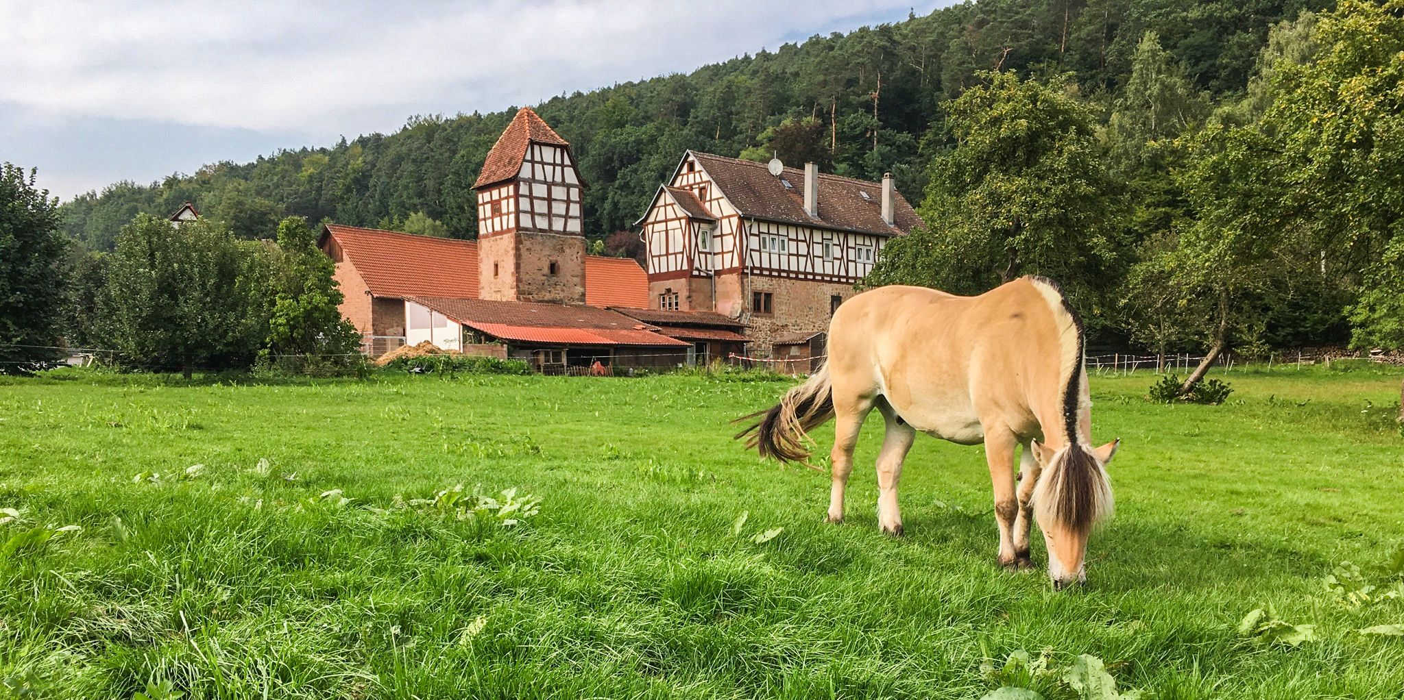
The Alemannenweg – Hiking in the Odenwald
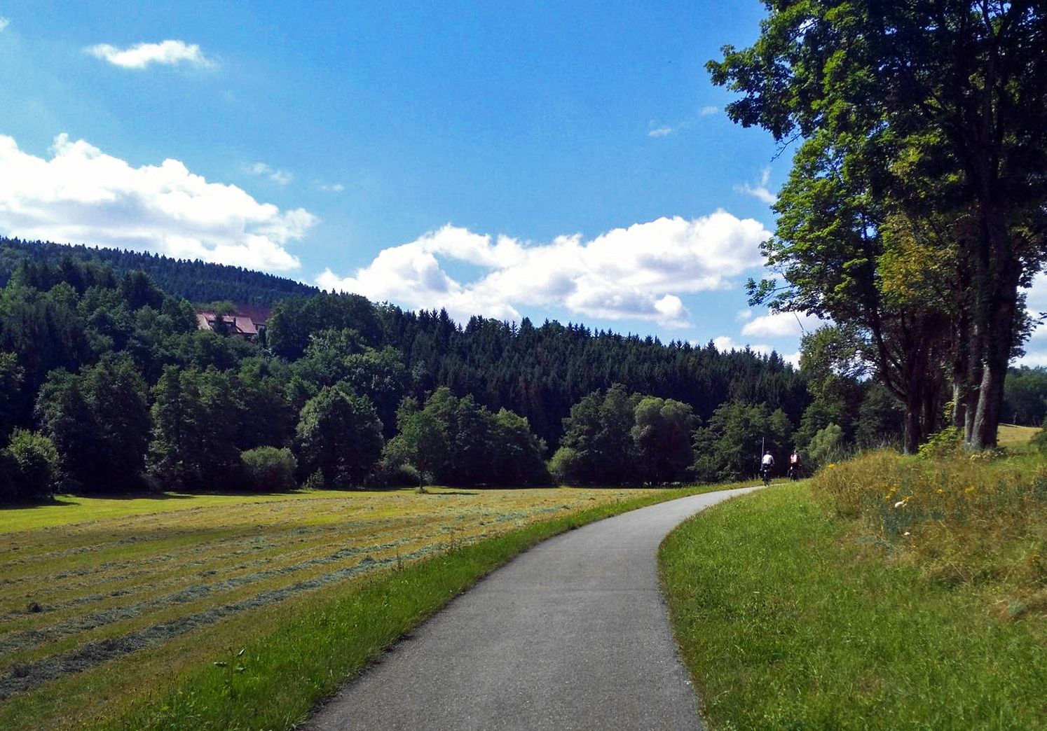
The Heidelberg-Schwarzwald-Bodensee-Radweg
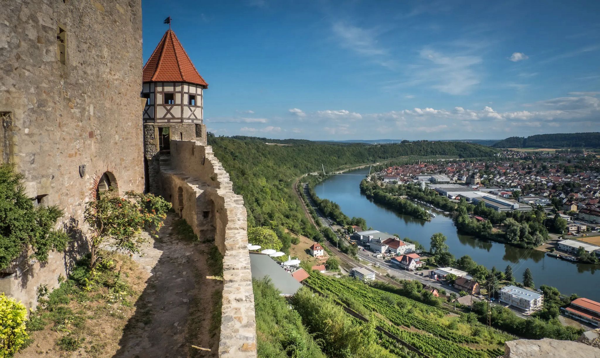
The Neckarsteig trail – 9 stages along the edge of the Odenwald
Relaxed hiking in the Spessart – short trails of discovery
Other adventures in Geo-Naturpark Bergstraße-Odenwald


Tips from the Community

Very nice to cycle here and enjoy nature
4
0

The 55-meter-high building, painted in a striking "far-blue" color, creates a highly visible and attractive landmark in Heidelberg: It is enveloped by a cable net from which a helical staircase is suspended. Reflective plates, which will move in the wind, will be attached to the cable net – symbols of flexibility and the flow of energy. A crown-like roof structure will house a rooftop terrace with a restaurant. End of 2026: Blu – Dining with a View More information here: https://www.swhd.de/energiespeicher
2
0

It offers a number of sights. The views of nature are wonderful. The well-maintained and paved bike path from Villingen-Schwennigen to Neckarsulm is also a dream. From there to Mannheim, gravel roads are occasionally required.
0
1

You have to like Bahnstadt and its architecture. Square, practical, good.
0
0
Looking to cool off? This is the place for you. It's not just for little ones to play.
0
0

How picturesquely the stream flows down
0
0

Very nice promenade where you can walk easily.
0
0

Frequently Asked Questions
What kind of terrain can I expect on running routes in Geo-Naturpark Bergstraße-Odenwald?
The Geo-Naturpark Bergstraße-Odenwald offers a diverse range of terrain for runners. You'll find everything from the mild climate of the Bergstraße with its sun-drenched slopes to the rolling hills and extensive woodlands of the eastern Odenwald. Routes can feature significant elevation changes, such as the challenging climbs on the Hemsbach Hills and Forests Trail, or more moderate paths through varied river valleys and forest areas.
Are there easy running routes suitable for beginners in the Geo-Naturpark Bergstraße-Odenwald?
Yes, the region offers a variety of routes suitable for beginners. While many trails feature rolling hills, there are also flatter sections, especially along river valleys and through open farmland. For a more moderate experience, consider routes like the Old Railway Line Path – Bahnstadt Promenade Parkrun loop from Heidelberg, which has minimal elevation gain.
What are some challenging running trails for experienced runners in the Geo-Naturpark Bergstraße-Odenwald?
Experienced runners looking for a challenge will find plenty of options with significant elevation changes. Routes like Schriesheim summit happiness and the Stairway to Heidelberg Castle – Mausbach Trail loop from Molkenkur offer demanding ascents and descents, often leading to rewarding views from higher elevations. The Heidelberg Thingstätte – Heidelberg Castle loop from Station Kornmarkt is particularly long and challenging, covering nearly 38 km with substantial elevation.
Can I find running routes with scenic viewpoints or landmarks in the Geo-Naturpark Bergstraße-Odenwald?
Absolutely. Many running routes in the Geo-Naturpark Bergstraße-Odenwald pass by interesting landmarks and offer scenic views. You can combine your run with cultural and geological exploration, visiting sites like the Former rock cellar near Wildenburg Castle or the Wildeleutestein Rock Formation. The diverse topography ensures many routes provide panoramic vistas, especially from the higher points in the Odenwald.
Are there family-friendly jogging routes in the Geo-Naturpark Bergstraße-Odenwald?
Yes, the park's extensive network includes paths suitable for families. Look for routes with less elevation gain and well-maintained surfaces, often found along river courses or through open farmland. Themed paths like the "Path of Stories" (F2 Pfad der Geschichten) in Fischbachtal or the "Raibach Cuckoo Trail" (Raibacher Kuckucksweg) can also be engaging for families, combining activity with natural or cultural interest.
Are dogs allowed on the running trails in Geo-Naturpark Bergstraße-Odenwald?
Generally, dogs are welcome on many trails within the Geo-Naturpark Bergstraße-Odenwald, provided they are kept on a leash and owners adhere to local regulations. The vast forest areas and open spaces offer plenty of opportunities for you and your canine companion to enjoy a run together. Always check specific trail signage for any restrictions, especially in nature reserve areas.
What is the typical length of running trails in the Geo-Naturpark Bergstraße-Odenwald?
Running trails in the Geo-Naturpark Bergstraße-Odenwald vary significantly in length. You can find shorter loops perfect for a quick run, such as the Hemsbach Hills and Forests Trail at around 10.5 km, or much longer, more challenging routes like the Heidelberg Thingstätte – Heidelberg Castle loop from Station Kornmarkt, which spans nearly 38 km.
Are there circular running routes available in the Geo-Naturpark Bergstraße-Odenwald?
Yes, the Geo-Naturpark Bergstraße-Odenwald features numerous circular running routes. These loops are popular as they allow you to start and finish at the same point, often near parking or public transport access. Many designated hiking trails are also circular and suitable for running, offering a convenient way to explore the diverse landscapes without retracing your steps.
How accessible are the running routes by public transport in the Geo-Naturpark Bergstraße-Odenwald?
Many running routes in the Geo-Naturpark Bergstraße-Odenwald are accessible by public transport, particularly those starting near towns and villages. The park's commitment to well-maintained and signposted routes often includes consideration for accessibility. It's advisable to check local bus and train schedules for specific starting points, especially for routes around larger towns like Heidelberg or Bensheim.
Are there running routes with parking facilities in the Geo-Naturpark Bergstraße-Odenwald?
Yes, most running routes in the Geo-Naturpark Bergstraße-Odenwald have parking facilities nearby, especially at popular trailheads, forest entrances, or village centers. When planning your run, look for routes that specify parking availability to ensure a convenient start and end to your activity.
What is the best time of year for running in the Geo-Naturpark Bergstraße-Odenwald?
The Geo-Naturpark Bergstraße-Odenwald is enjoyable for running year-round, but each season offers a different experience. Spring brings early blossoms and mild temperatures, particularly in the Bergstraße region. Summer provides shaded runs through the extensive woodlands. Autumn showcases vibrant fall foliage, while winter offers crisp air and potentially snowy landscapes, though some trails might be more challenging due to conditions. The mild climate of the Bergstraße makes it pleasant even in cooler months.
What do other runners enjoy most about jogging in Geo-Naturpark Bergstraße-Odenwald?
The running routes in Geo-Naturpark Bergstraße-Odenwald are highly rated by the komoot community, with an average score of 4.4 stars from over 7,300 reviews. Runners often praise the diverse landscapes, from sun-drenched slopes to extensive woodlands, and the variety of terrain that caters to all ability levels. The well-maintained and signposted trails, combined with the region's natural beauty, are frequently highlighted as key attractions.
Most popular routes in Geo-Naturpark Bergstraße-Odenwald
Most popular attractions in Geo-Naturpark Bergstraße-Odenwald

Get inspired with the komoot mobile app


Explore more
Browse the best Running Trails & Routes in other regions.
