The best walks and hikes in Landschaftsschutzgebiet Kraftshofer Forst
4.5
(12933)
74,415
hikers
31
hikes
Hiking trails in Landschaftsschutzgebiet Kraftshofer Forst traverse a protected area characterized by extensive woodlands, part of the larger Sebalder Reichswald. The Gründlach river flows through the area, and the Weichensee Pond adds to the natural features. Elevations are generally gentle, with Buchenbühl reaching 390.8 meters above sea level.
Best hiking trails in Landschaftsschutzgebiet Kraftshofer Forst
- The most popular hiking route is Irrhain Memorial Grove – Irrhain Entrance loop from Kraftshofer Forst, a 7.1 miles (11.5 km) trail that takes…
Last updated: May 15, 2026
4.1
(74)
288
hikers
Moderate hike. Good fitness required. Easily-accessible paths. Suitable for all skill levels.
4.3
(3)
21
hikers
7.18km
01:51
40m
40m
Easy hike. Great for any fitness level. Easily-accessible paths. Suitable for all skill levels.

Sign up for free
4.3
(9)
49
hikers
Easy hike. Great for any fitness level. Easily-accessible paths. Suitable for all skill levels.
4.8
(9)
38
hikers
Moderate hike. Good fitness required. Easily-accessible paths. Suitable for all skill levels.
4.4
(28)
114
hikers
Moderate hike. Good fitness required. Easily-accessible paths. Suitable for all skill levels.
Get access to more routes and recommendations from other explorers.
Sign up for free
Already have an account?
Our route recommendations are based on thousands of hikes, rides, and runs completed by other people on komoot.
Start today with a free account
Your next adventure awaits.
Login or Signup
Popular around Landschaftsschutzgebiet Kraftshofer Forst
Tips from the Community

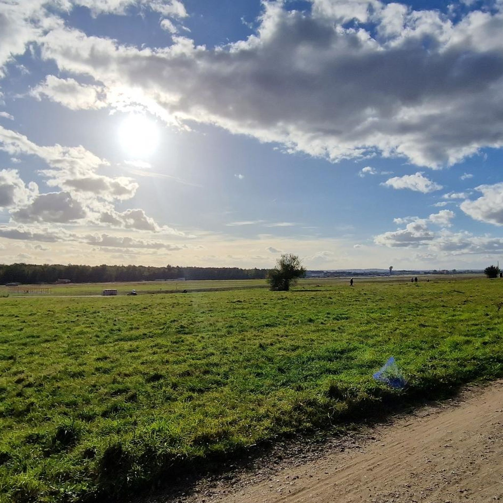
The best viewing terrace at the airport is at the top of the P2 parking garage. You can see the entire runway. You'll often meet plane spotters here.
0
0

View of the street to the Terminal Arrivals + Departures
0
1
Rest bench right at the airport fence for resting and having a snack
0
1

You can take the elevator to level 11 and then walk to the top deck. Here you have a wonderful view of the airfield and can watch arriving and departing planes.
0
0

From here we head south.
4
1

Cycling around the airport 🚲 is definitely worth it.
0
1

A spectacle to see such an aircraft take off or land
0
0

Frequently Asked Questions
How many hiking trails are available in Landschaftsschutzgebiet Kraftshofer Forst?
There are over 30 hiking routes available in Landschaftsschutzgebiet Kraftshofer Forst, offering a variety of experiences. The majority of these, around 24, are considered easy, while 7 are moderate. There are no difficult trails listed, making the area accessible for many.
What do other hikers say about the trails in Landschaftsschutzgebiet Kraftshofer Forst?
The trails in Landschaftsschutzgebiet Kraftshofer Forst are highly regarded by the komoot community, holding an average rating of 4.5 stars from over 170 reviews. Hikers often praise the tranquil forest environment, well-maintained paths, and the opportunity to experience nature close to Nuremberg.
Are there any notable natural features or landmarks to see while hiking?
Yes, the area is rich in natural features. You can explore extensive woodlands, follow the Gründlach river as it flows through the forest, and discover the peaceful Weichensee Pond. The highest point, Buchenbühl, offers varied terrain. Additionally, the Kotbrunngraben Trail and Buchenbühl Hill Forest Trail are popular highlights.
Can I see the Nuremberg Airport from the hiking trails?
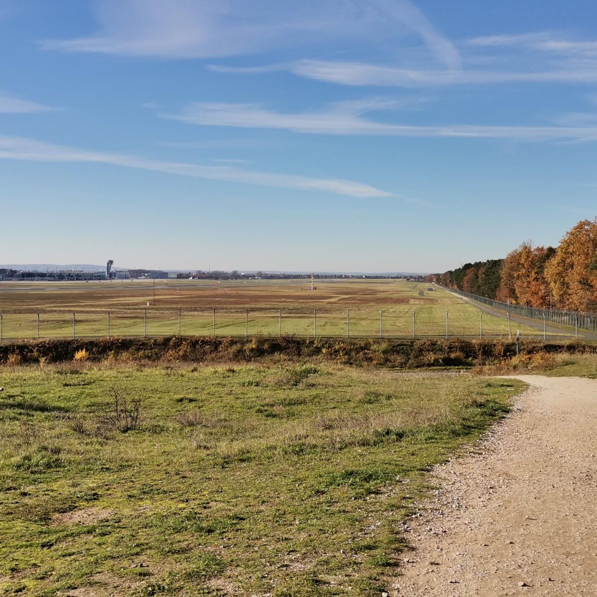
Yes, some trails offer unique perspectives of the Nuremberg Airport. For example, the Airport Navigation Beacon – View of Nuremberg Airport loop from Kraftshofer Forst is an easy 3.3-mile (5.3 km) route that takes you through the forest with views of the airport. You can also visit the dedicated Airport viewpoint highlight.
Are there family-friendly hiking options in Kraftshofer Forst?
Absolutely. With a large number of easy trails and gentle elevations, Landschaftsschutzgebiet Kraftshofer Forst is well-suited for families. The diverse forest environment and points of interest like the Weichensee Pond make for engaging walks for all ages. Many paths are easily accessible, though specific stroller accessibility may vary.
Can I bring my dog on the hiking trails?
Yes, dogs are generally welcome on the hiking trails in Landschaftsschutzgebiet Kraftshofer Forst. It's a popular area for dog walkers due to its extensive woodlands. However, please ensure your dog is kept on a leash, especially in designated areas or when encountering wildlife, and always clean up after your pet.
Are there circular hiking routes available?
Many of the routes in Kraftshofer Forst are designed as circular loops, allowing you to start and end at the same point without retracing your steps. A popular moderate option is the Irrhain Memorial Grove – Irrhain Entrance loop from Kraftshofer Forst, covering 7.1 miles (11.5 km).
Is there parking available for hikers?
While specific parking lots are not detailed, as a well-established state forest and protected area, there are typically designated parking areas at various entry points to the Kraftshofer Forst. These are usually found near trailheads or popular access roads, making it convenient for hikers arriving by car.
What is the best time of year to hike in Kraftshofer Forst?
Landschaftsschutzgebiet Kraftshofer Forst offers enjoyable hiking experiences throughout the year. Spring brings fresh greenery and blooming flora, while summer provides cool shade under the dense tree canopy. Autumn transforms the forest with vibrant colors, and even winter offers peaceful, crisp walks, especially after a fresh snowfall.
Are there any educational trails in the area?
Yes, the Ziegellach Forest Nature Trail is a notable educational feature within the Kraftshofer Forst. This trail provides an opportunity to learn about the local flora, fauna, and ecological significance of the forest, enhancing your hiking experience with informative displays.
Which trail explores the forest around a stone cairn?
For a hike that takes you through wooded areas and past a unique stone cairn, consider the Stone Cairn loop from Loher Moos. This moderate 5.0-mile (8.0 km) path is a favorite among local hikers.
Can I find a trail that passes by the Weichensee Pond?
Yes, the View of Nuremberg Airport – Weichensee Pond loop from Kraftshofer Forst is a moderate 10.5-mile (17 km) route that includes the scenic Weichensee Pond as a highlight, along with views of the Nuremberg Airport.
Most popular routes in Landschaftsschutzgebiet Kraftshofer Forst
Most popular attractions in Landschaftsschutzgebiet Kraftshofer Forst

Get inspired with the komoot mobile app


Explore more
Browse the best Hikes in other regions.
