The best MTB trails in Geißleraue Und Aurachwiesen Bei Ostheim
4.6
(945)
1,872
riders
230
rides
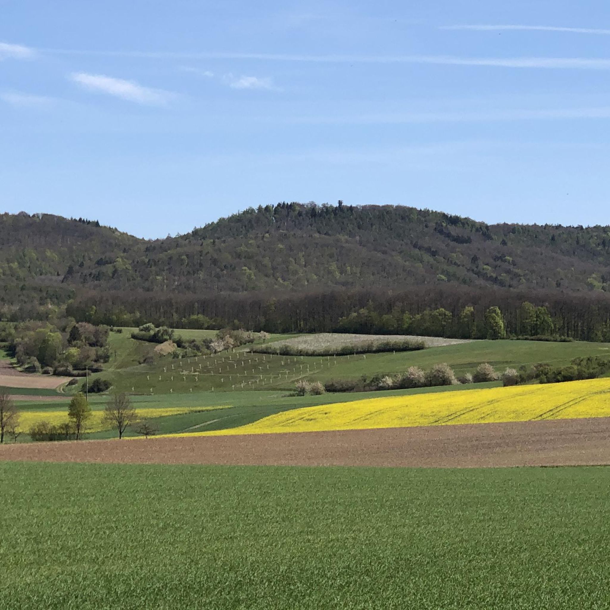
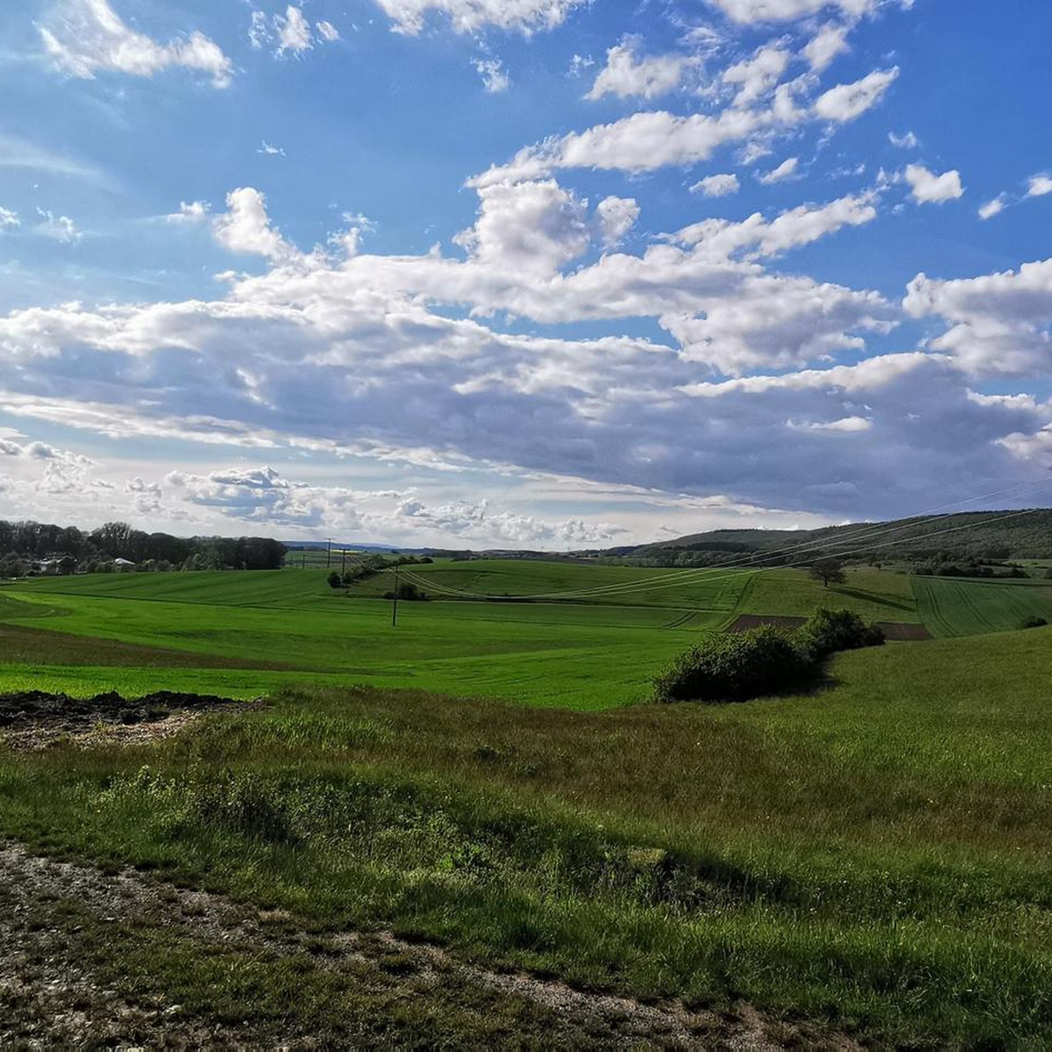
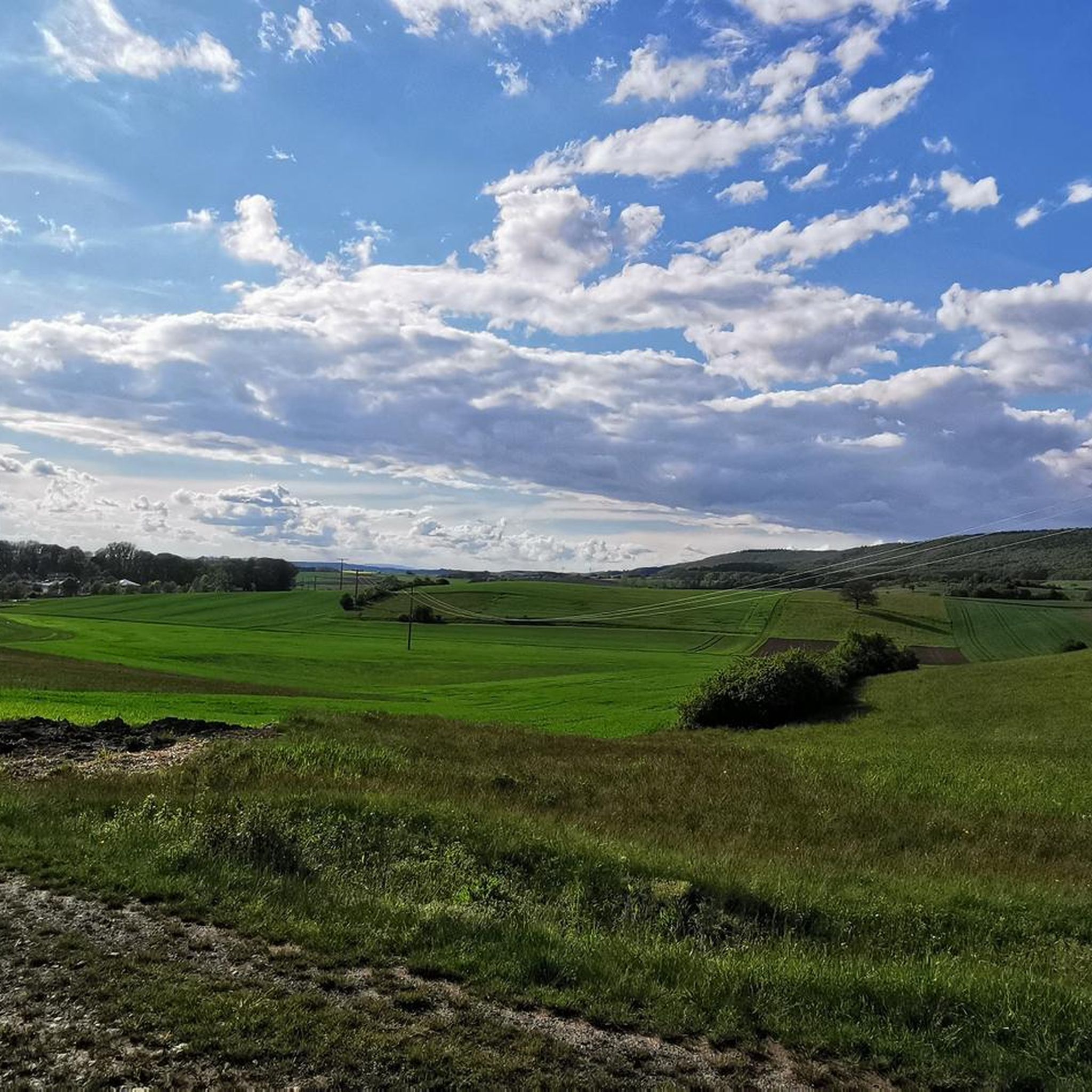
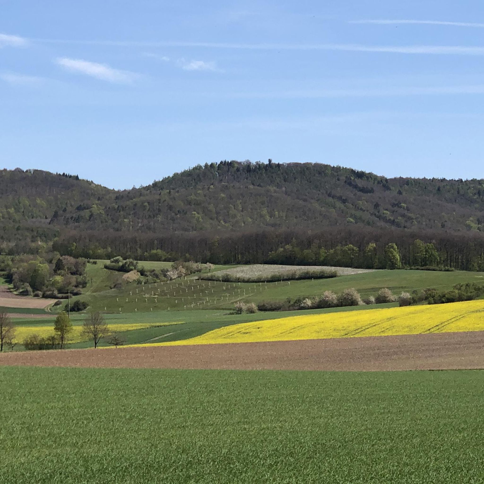
Mountain bike trails in Geißleraue Und Aurachwiesen Bei Ostheim traverse a diverse landscape within the Haßberge natural park. The region features gentle hills, dense forests, and open meadows, offering varied terrain for mountain biking. Riders can expect a mix of challenging ascents and scenic routes through unspoiled environments, including riparian areas. This area provides an extensive network of trails suitable for various skill levels.
Best mountain bike trails in Geißleraue Und Aurachwiesen Bei Ostheim
- The most popular mountain bike trail…
Last updated: November 10, 2026
8
riders
36.6km
02:40
350m
350m
Moderate mountain bike ride. Good fitness required. Advanced riding skills necessary.
4.7
(102)
47
riders
Easy mountain bike ride.

3.5
(2)
26
riders
Hard mountain bike ride. Good fitness required. Advanced riding skills necessary. Some portions of the route may require you to push your bike.
4.9
(16)
17
riders
43.1km
02:44
380m
380m
Moderate mountain bike ride. Good fitness required.
5.0
(4)
15
riders
29.5km
01:54
280m
280m
Easy mountain bike ride.
Get access to more routes and recommendations from other explorers.
Already have an account?
Our route recommendations are based on thousands of hikes, rides, and runs completed by other people on komoot.
Start today with a free account
Your next adventure awaits.
Popular around Geißleraue Und Aurachwiesen Bei Ostheim

Tips from the Community

Station with a small collection of railway vehicles
0
0

The road is nice to drive on.
1
0
Parking lot with seven intersections
1
0

Although three gatehouses narrow the access roads, they are not towering, defensive towers. The Bad- or Lendershäuser Tor, the Weth- or Großmannsdorfer Tor, and the Obertor were probably no longer intended for defensive purposes when they were built in the second decade of the 18th century, but rather as customs and inspection posts. Source: https://stadt-hofheim.de/tourismus-freizeitgestaltung/sehenswertes/stadttore
10
0
Although three gatehouses narrow the access roads, they are not towering, defensive towers. The Bad- or Lendershäuser Tor, the Weth- or Großmannsdorfer Tor, and the Obertor were probably no longer intended for defensive purposes when they were built in the second decade of the 18th century, but rather as customs and inspection posts. Source: https://stadt-hofheim.de/tourismus-freizeitgestaltung/sehenswertes/stadttore
9
0
Königsberg originated around 1180 as a result of the construction of a castle on the "King's Vineyard" (for the castle, see: Königsberg Castle), presumably on the land of an old Frankish royal domain. However, a settlement called "Ingelhofen" already existed in the suburbs in the early Middle Ages. Königsberg was first mentioned in 1234, was granted market rights in 1333, and finally, in 1358, full city rights. Source: https://de.m.wikipedia.org/wiki/K%C3%B6nigsberg_in_Bayern
8
0
Königsberg in Bavaria is a worthwhile destination for those who want to see beautifully preserved half-timbered houses. The Königsberg Roland is considered the southernmost Roland statue in Germany. Roland statues were considered symbols of civil liberties, usually associated with corresponding rights such as market rights or their own jurisdiction.
9
0
Frequently Asked Questions
How many mountain bike trails are there in Geißleraue Und Aurachwiesen Bei Ostheim?
There are over 260 mountain bike trails available in Geißleraue Und Aurachwiesen Bei Ostheim. These routes cater to various skill levels, from easy paths to more challenging ascents, traversing diverse landscapes within the Haßberge natural park.
What is the best time of year for mountain biking in this region?
The period from spring to autumn is particularly recommended for mountain biking in Geißleraue Und Aurachwiesen Bei Ostheim. During these seasons, the weather is generally pleasant, and the natural scenery, including meadows and forests, is at its most vibrant.
Are there mountain bike trails suitable for beginners or families?
Yes, Geißleraue Und Aurachwiesen Bei Ostheim offers a variety of trails, including 59 easy routes that are suitable for beginners or families looking for a less strenuous ride. These paths often feature gentle hills and scenic views through open meadows and woodlands.
What kind of terrain can I expect on the mountain bike trails?
The terrain in Geißleraue Und Aurachwiesen Bei Ostheim is diverse, featuring gentle hills, dense forests, and open meadows. Riders can expect a mix of challenging ascents and scenic routes through unspoiled environments, including riparian areas. The region is part of the Haßberge natural park, ensuring varied and picturesque landscapes.
Are there any long-distance mountain bike routes in the area?
Yes, there are several longer routes. For example, the Molkenbrünnlein Trail – Grabfeldblick Viewing Platform loop from Rügheim is a moderate 37.7-mile (60.7 km) path that features significant elevation changes and panoramic views.
What do other mountain bikers say about the trails in Geißleraue Und Aurachwiesen Bei Ostheim?
The mountain bike routes in Geißleraue Und Aurachwiesen Bei Ostheim are highly rated by the komoot community, with an average score of 4.6 stars from over 950 reviews. Riders often praise the varied terrain, the mix of conditional challenges and natural enjoyment, and the well-maintained network of trails.
Are there any circular mountain bike routes?
Many of the mountain bike trails in Geißleraue Und Aurachwiesen Bei Ostheim are designed as loops. An example is the Rote Marter near Aidhausen – Ellertshäuser See loop from Hofheim in Unterfranken, a moderate 22.8-mile (36.7 km) trail offering a balanced ride through varied forest and lakeside scenery.
What are some notable sights or attractions along the mountain bike trails?
While riding, you might encounter historical sites and scenic points. For instance, the Lower Gate – Uhrmacherhaus Königsberg loop from Hofheim in Unterfranken leads through historical areas. Other points of interest in the broader region include the Former Town Hall with Coat of Arms (Ostheim, Hofheim in Unterfranken) and the Village square in Ostheim with the town hall.
Are there any challenging mountain bike trails for experienced riders?
Yes, for experienced riders seeking a challenge, there are 17 difficult mountain bike routes. An example is the Trail to Schwedenschanze – Jägerpfad Schwedenschanze loop from Hofheim in Unterfranken, which features significant elevation changes and technical sections.
Where can I find parking for mountain biking in Geißleraue Und Aurachwiesen Bei Ostheim?
Parking options are generally available near trailheads and in towns like Ostheim vor der Rhön or Hofheim in Unterfranken, which serve as common starting points for many routes. Specific parking information is often detailed on individual route pages on komoot.
Can I bring my dog on the mountain bike trails?
Many trails in natural areas like Geißleraue Und Aurachwiesen Bei Ostheim are dog-friendly, especially if dogs are kept on a leash. However, it's always advisable to check local regulations or specific trail descriptions for any restrictions before heading out with your dog.
Are there any trails with good views?
Yes, the diverse landscape of the Haßberge region offers numerous trails with scenic views. The Molkenbrünnlein Trail – Grabfeldblick Viewing Platform loop from Rügheim, for instance, is known for its panoramic views from the Grabfeldblick Viewing Platform.
Most popular routes in Geißleraue Und Aurachwiesen Bei Ostheim
Most popular attractions in Geißleraue Und Aurachwiesen Bei Ostheim

Get inspired with the komoot mobile app


Explore more
Browse the best MTB trails in other regions.
