Wälder Und Trockenstandorte Bei Bad Kissingen Und Münnerstadt
Wälder Und Trockenstandorte Bei Bad Kissingen Und Münnerstadt
The best walks and hikes in Wälder Und Trockenstandorte Bei Bad Kissingen Und Münnerstadt
4.6
(13082)
48,816
hikers
99
hikes
Hiking trails in Wälder Und Trockenstandorte Bei Bad Kissingen Und Münnerstadt traverse a diverse landscape characterized by extensive forests and unique dry habitats. The region is part of a low mountain range, offering varied terrain from gentle paths to more challenging routes. Features include the picturesque Kaskadental gorge, distinctive juniper landscapes, and the idyllic valley of the Franconian Saale river. This area provides a blend of woodlands and open spaces, influenced by the nearby Rhön UNESCO biosphere reserve.
Best hiking…
Last updated: July 28, 2026
4.7
(229)
804
hikers
Moderate hike. Good fitness required. Mostly accessible paths. Sure-footedness required.
4.8
(15)
73
hikers
Easy hike. Great for any fitness level. Easily-accessible paths. Suitable for all skill levels.

Sign up for free
4.8
(19)
36
hikers
6.54km
01:51
120m
120m
Easy hike. Great for any fitness level. Easily-accessible paths. Suitable for all skill levels.
4.4
(25)
228
hikers
Easy hike. Great for any fitness level. Easily-accessible paths. Suitable for all skill levels.
4.7
(11)
36
hikers
4.79km
01:24
130m
130m
Moderate hike. Great for any fitness level. Mostly accessible paths. Sure-footedness required.
Get access to more routes and recommendations from other explorers.
Sign up for free
Already have an account?
Our route recommendations are based on thousands of hikes, rides, and runs completed by other people on komoot.
Start today with a free account
Your next adventure awaits.
Login or Signup
Popular around Wälder Und Trockenstandorte Bei Bad Kissingen Und Münnerstadt
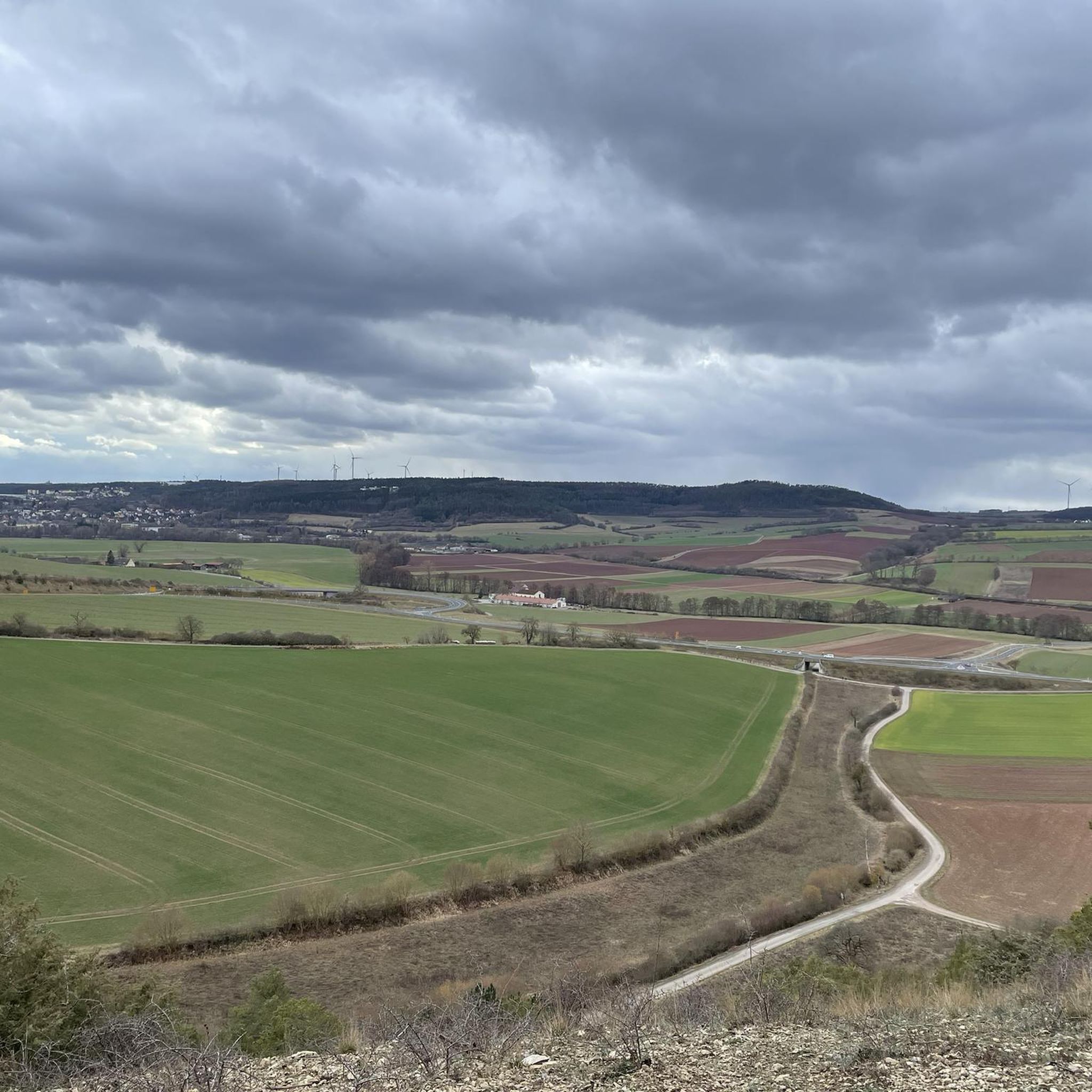
Cycling in Wälder Und Trockenstandorte Bei Bad Kissingen Und Münnerstadt
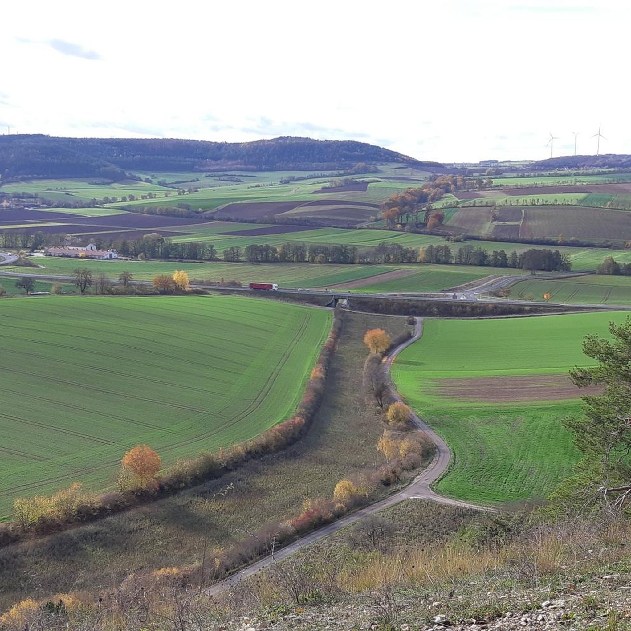
MTB Trails in Wälder Und Trockenstandorte Bei Bad Kissingen Und Münnerstadt
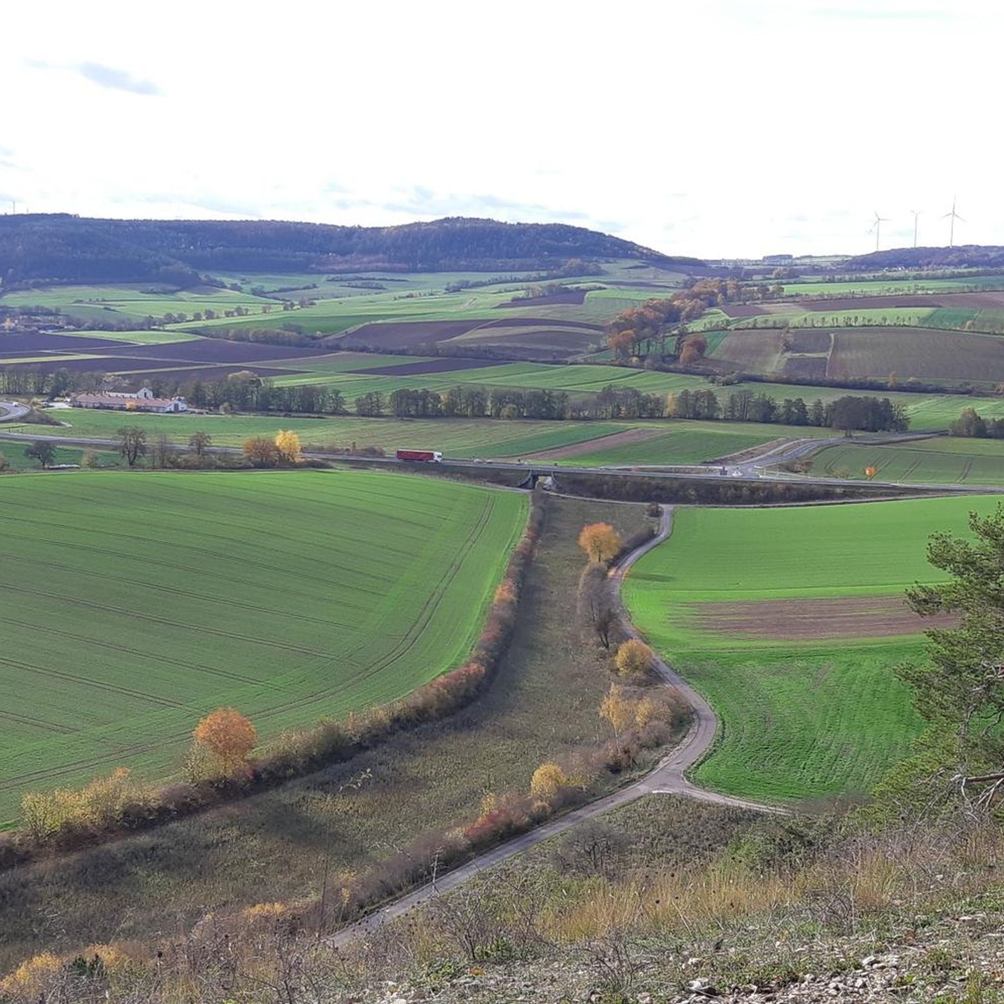
Road Cycling Routes in Wälder Und Trockenstandorte Bei Bad Kissingen Und Münnerstadt

Gravel biking in Wälder Und Trockenstandorte Bei Bad Kissingen Und Münnerstadt
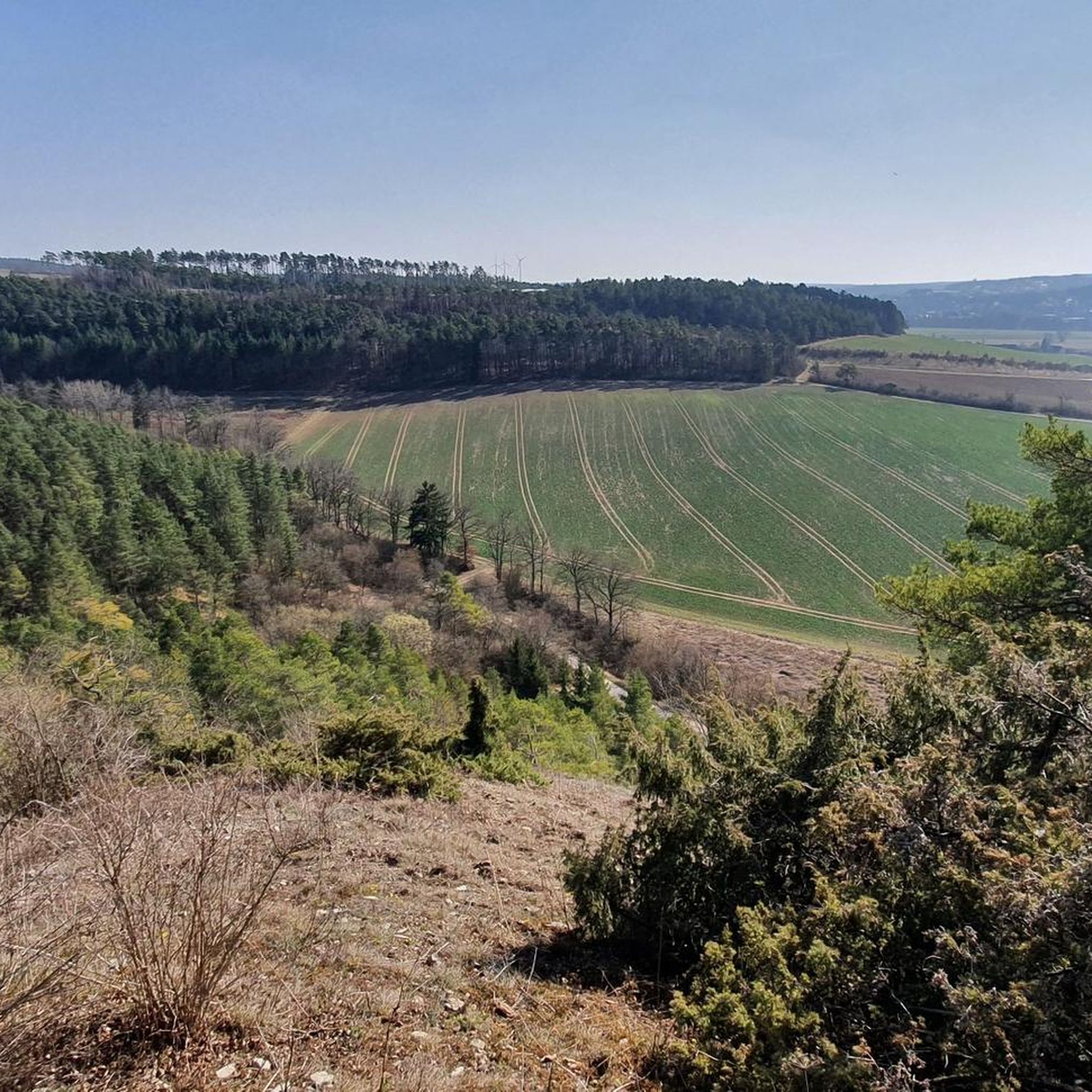
Running Trails in Wälder Und Trockenstandorte Bei Bad Kissingen Und Münnerstadt
Tips from the Community

Small wildlife park for a small contribution of €5 for adults
0
0
The Cascade Trail or the Trail of the Tree Giants is wonderful to hike along the water
1
0

Nice little biotope.
0
0


Very beautiful hiking trails through the juniper heath near Münnerstadt
1
0

Unfortunately not accessible and in need of renovation
1
0

The Bavarian State Spa of Bad Kissingen has been a UNESCO World Heritage Site since 2021. Here, you can treat yourself to a soothing break and unwind from the hectic pace of everyday life. Known for its drinking and bathing cures as early as the 16th century, Bad Kissingen boasts seven mineral-rich healing springs that unleash their beneficial effects in a variety of treatments.
0
0

Imposing centuries-old natural monument!
1
0
Frequently Asked Questions
How many hiking trails are available in Wälder Und Trockenstandorte Bei Bad Kissingen Und Münnerstadt?
The region offers a comprehensive network of over 95 hiking trails, catering to various preferences and fitness levels. This includes more than 60 easy routes, 29 moderate trails, and a few more challenging options.
Are there family-friendly hiking options in the area?
Yes, the region is excellent for families. Many circular routes are specifically designed for relaxed walks. For example, the Klaushof Wildlife Park – Path of the Giant Trees loop from Naturwaldinsel Buchwald is a short 2.5 km trail, often completed in about 42 minutes, offering opportunities to observe local wildlife. Another great option is the Klaushof Wildlife Park – Otter Pond loop from Naturwaldinsel Buchwald, which is also around 2.4 km.
What natural features can I expect to see while hiking?
Hikers can explore a diverse landscape featuring extensive forests, unique juniper landscapes, and dry habitats. Key natural attractions include the picturesque Kaskadental gorge and the idyllic valley of the Franconian Saale River, where you might discover rare flowers and hidden waterfalls. The region is also influenced by the nearby Rhön UNESCO biosphere reserve, contributing elements like basalt formations.
Are there any circular hiking routes?
Yes, the area features many circular routes, perfect for exploring without retracing your steps. An easy example is the Hainberg Tower – picture oak loop from Wurmberg-Possenberg, which is about 6.5 km long and suitable for all skill levels.
What are some notable landmarks or attractions along the trails?
Beyond the natural beauty, you can discover cultural highlights. The historic Talkirche (Pilgrimage Church of the Holy Cross) in the Rannunger Valley near Münnerstadt is a significant cultural landmark. Additionally, the Kaskadental gorge itself is a highlight, and the Waldhaus Aurora offers a place to rest.
What is the best time of year to go hiking in this region?
The region offers enjoyable hiking experiences throughout the year. Spring brings blooming flora, while summer provides lush green forests and opportunities for water activities on the Saale. Autumn showcases vibrant fall colors, and even winter hiking can be beautiful, though specific gear might be needed depending on conditions.
Are there any easy hiking trails for beginners?
Absolutely. Over 60 of the trails are classified as easy, making them ideal for beginners or those seeking a relaxed walk. A good example is the Stream in Kaskadental – Kaskadentalbach (Ilgenbach) loop from Naturwaldinsel Buchwald, an easy 5.3 km path that follows the stream through the Kaskadental, offering a tranquil natural experience.
What do other hikers say about the trails in Wälder Und Trockenstandorte Bei Bad Kissingen Und Münnerstadt?
The routes in this region are highly rated by the komoot community, with an average score of 4.5 stars from over 495 reviews. Hikers often praise the diverse landscapes, the well-maintained paths, and the blend of forest and open dry habitats.
Are there opportunities to see wildlife?
Yes, the region's diverse habitats, including forests and dry areas, support various wildlife. The Klaushof Wildlife Park, accessible via trails like the Klaushof Wildlife Park – Path of the Giant Trees loop from Naturwaldinsel Buchwald, provides excellent opportunities to observe local animals in a near-natural setting.
Are there any viewpoints offering panoramic vistas?
Yes, the low mountain range terrain provides several spots for sweeping views. Areas around Michelsberg are known for their panoramic vistas. You can also find a View of Lauertal Valley and Burglauer, which is a popular highlight.
What kind of terrain can I expect on the hiking trails?
The terrain is varied, ranging from gentle paths through woodlands and along river valleys to more challenging routes in the low mountain range. You'll encounter forest paths, open dry habitats, and areas influenced by the Rhön UNESCO biosphere reserve, which can include basalt formations.
Most popular routes in Wälder Und Trockenstandorte Bei Bad Kissingen Und Münnerstadt
Most popular attractions in Wälder Und Trockenstandorte Bei Bad Kissingen Und Münnerstadt

Get inspired with the komoot mobile app


Explore more
Browse the best Hikes in other regions.
