Fränkische Saale Zwischen Heustreu Und Steinach
Fränkische Saale Zwischen Heustreu Und Steinach
The best walks and hikes in Fränkische Saale Zwischen Heustreu Und Steinach
4.5
(6182)
25,848
hikers
30
hikes
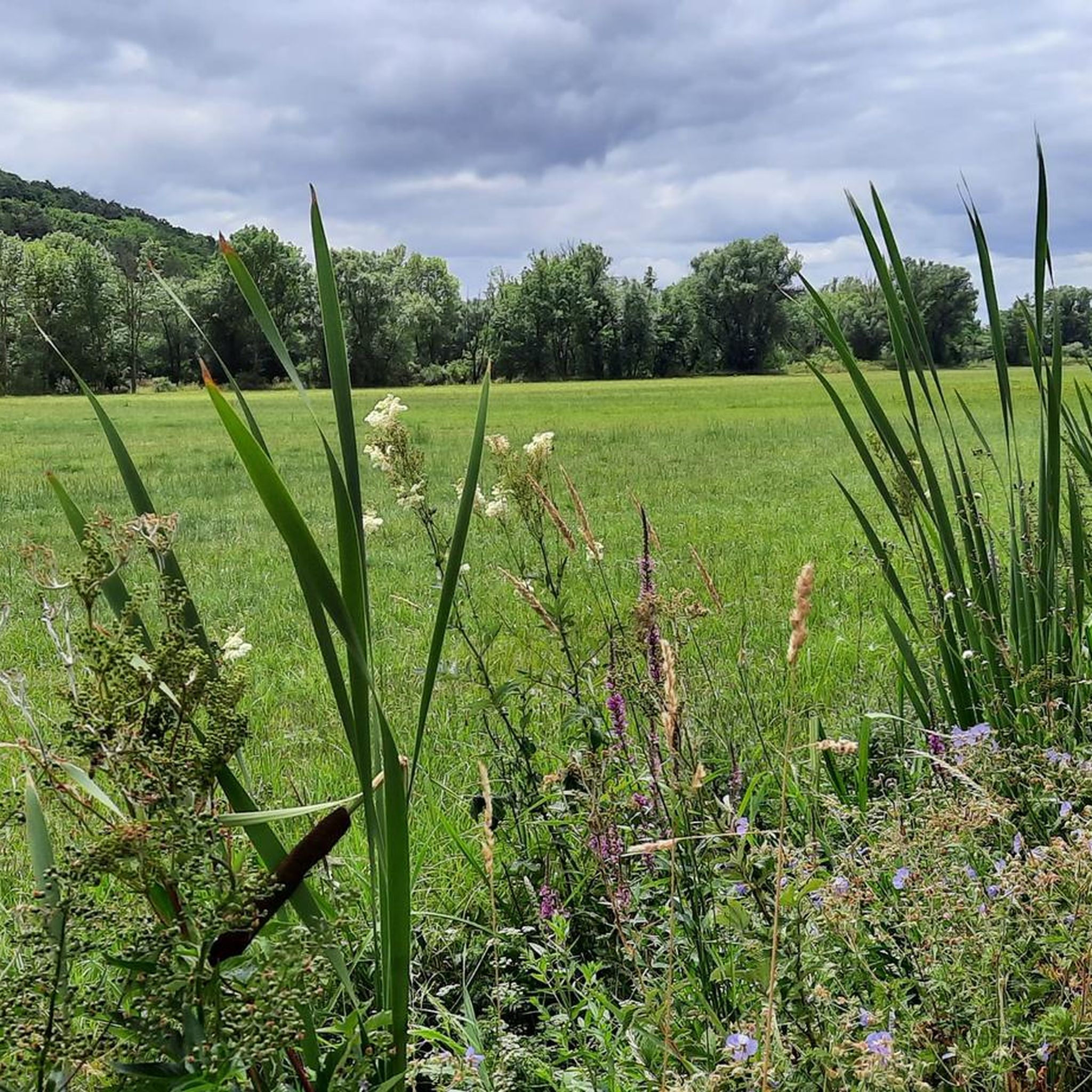
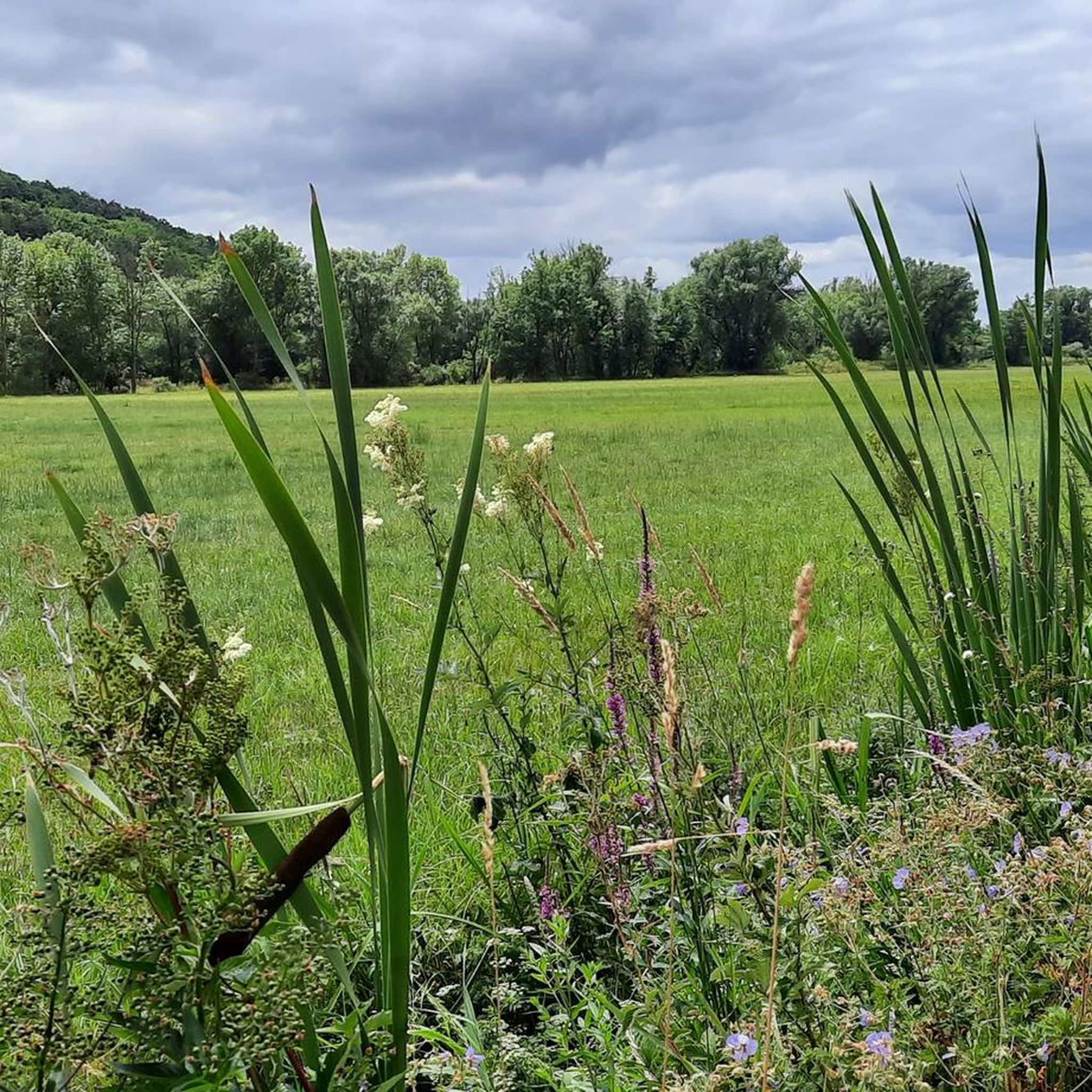
Hiking in Fränkische Saale Zwischen Heustreu Und Steinach explores a diverse landscape shaped by the Fränkische Saale river, featuring riparian meadows, vineyards, and forested valleys. The region is situated between the Rhön Mountains and the Franconian Wine Region, forming part of the UNESCO Biosphere Reserve Rhön. It offers a mix of low mountain range terrain and water-influenced environments, with elevations ranging from approximately 160m to 400m above sea level. This area is characterized by varied geological formations, including basalt peaks, high plateaus, and diverse habitats like inland salt meadows.
Best hiking trails in Fränkische Saale Zwischen Heustreu Und Steinach
- The most popular hiking route is Arch Bridge at the Saale Meadows – 200-Year-Old Weeping Beech loop from Bad Neustadt an der Saale, a 3.4 miles (5.4 km) trail that takes 1 hour 24 minutes to complete. This easy route leads through riverine landscapes, passing a notable ancient weeping beech tree.
- Another top favourite among local hikers is Arch Bridge at the Saale Meadows – Ruins of Salzburg Castle loop from Bad Neustadt an der Saale, a moderate 6.0 miles (9.6 km) path. This trail offers views of the Saale meadows and the historic Salzburg Castle ruins.
- Local hikers also love the 200-Year-Old Weeping Beech – Arch Bridge at the Saale Meadows loop from Bad Neustadt an der Saale, a 3.0 miles (4.8 km) trail leading through riverine landscapes, often completed in about 1 hour 14 minutes.
- Hiking in Fränkische Saale Zwischen Heustreu Und Steinach is defined by riverine meadows, vineyards, and forested valleys. The network offers options for easy walks along the riverbanks, moderate ascents through vineyards, and more challenging trails in the low mountain range.
- The routes in Fränkische Saale Zwischen Heustreu Und Steinach are highly rated by the komoot community with an average score of 4.5 stars from over 5,900 reviews. More than 25,000 hikers have used komoot to explore Fränkische Saale Zwischen Heustreu Und Steinach's varied terrain.
Last updated: May 19, 2026
4.2
(28)
164
hikers
Easy hike. Great for any fitness level. Easily-accessible paths. Suitable for all skill levels.
4.7
(17)
50
hikers
Moderate hike. Good fitness required. Easily-accessible paths. Suitable for all skill levels.

Sign up for free
4.5
(16)
45
hikers
Moderate hike. Good fitness required. Easily-accessible paths. Suitable for all skill levels.
4.6
(7)
60
hikers
Easy hike. Great for any fitness level. Easily-accessible paths. Suitable for all skill levels.
4.3
(20)
125
hikers
Easy hike. Great for any fitness level. Easily-accessible paths. Suitable for all skill levels.
Get access to more routes and recommendations from other explorers.
Sign up for free
Already have an account?
Our route recommendations are based on thousands of hikes, rides, and runs completed by other people on komoot.
Start today with a free account
Your next adventure awaits.
Login or Signup
Popular around Fränkische Saale Zwischen Heustreu Und Steinach
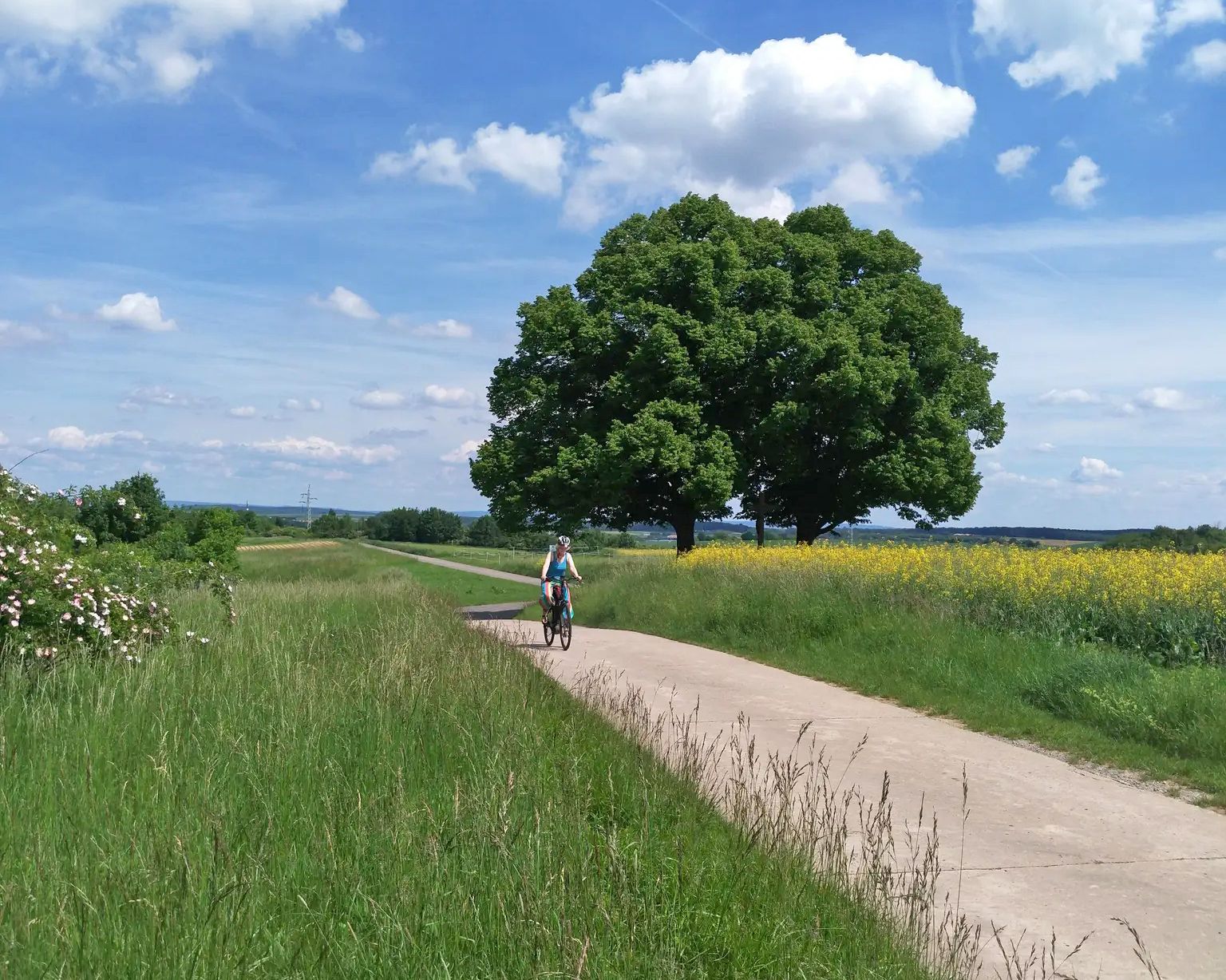
Main-Werra cycle path – From river to river
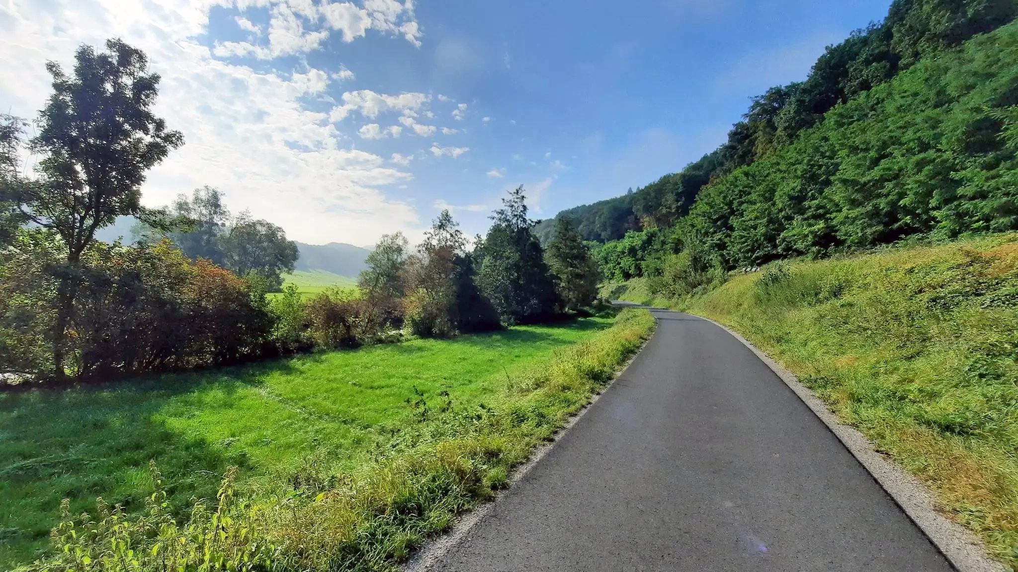
Ride from Grabfeld to the Main in Germany – Franconian Saale Cycle Route
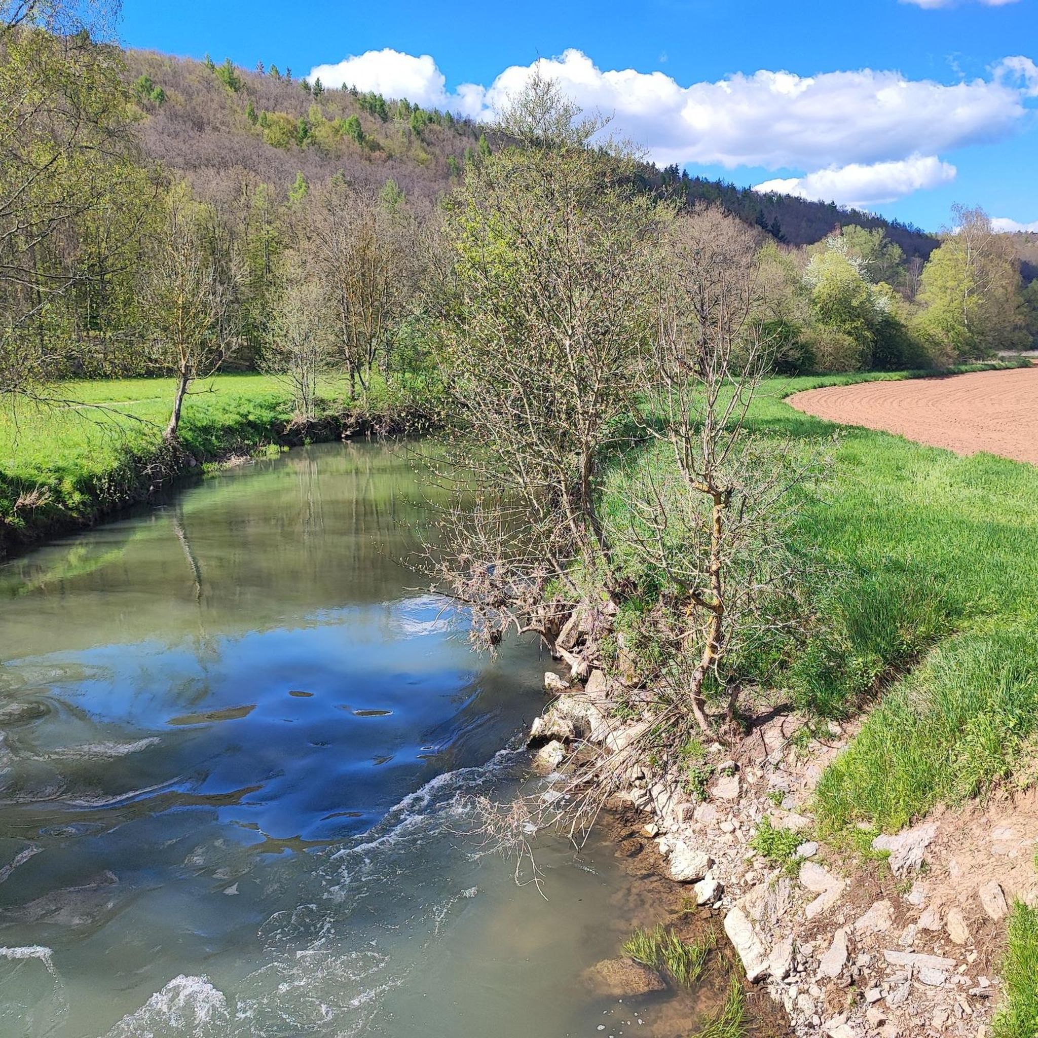
Road Cycling Routes in Fränkische Saale Zwischen Heustreu Und Steinach
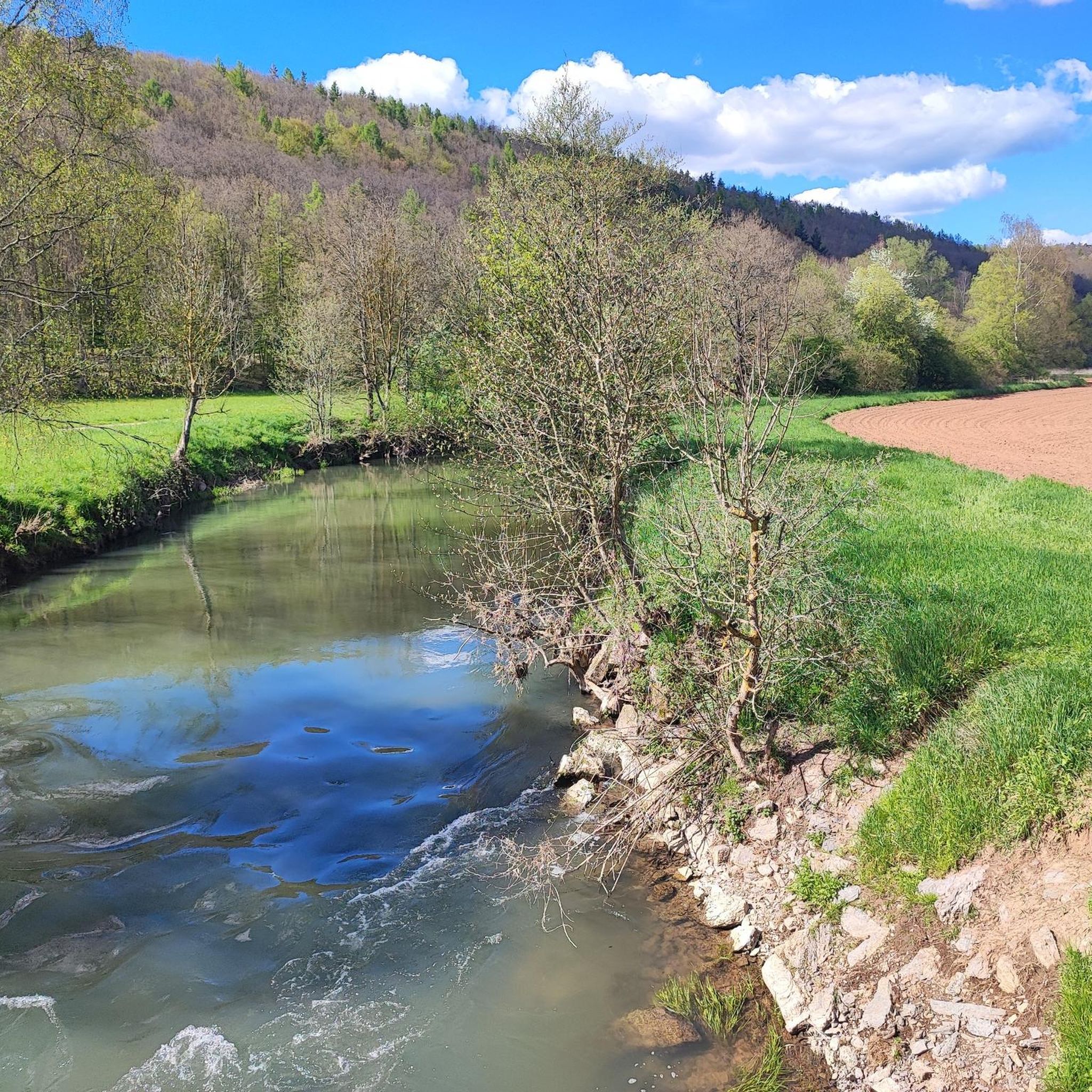
MTB Trails in Fränkische Saale Zwischen Heustreu Und Steinach
Running Trails in Fränkische Saale Zwischen Heustreu Und Steinach
Cycling in Fränkische Saale Zwischen Heustreu Und Steinach
Gravel biking in Fränkische Saale Zwischen Heustreu Und Steinach
Other adventures in Fränkische Saale Zwischen Heustreu Und Steinach

Tips from the Community

The bridge is located in the Saalewiesen, a natural landscape that acts as a fresh air corridor for Bad Neustadt and Salz.
0
0

The round towers are not accessible.
1
0
Bridge to the Adler towards Bad Neustadt town center.
1
0

Small pavilion where small music events can also take place.
1
0


The spa park is not small, well-maintained, and beautifully landscaped. Highly recommended.
2
0

Behind it is the cemetery.
7
0

I always recommend this park. Perfect to free your mind
1
0
Frequently Asked Questions
How many hiking trails are available in Fränkische Saale Zwischen Heustreu Und Steinach?
There are over 30 hiking trails in Fränkische Saale Zwischen Heustreu Und Steinach, catering to various skill levels. You'll find a good mix of easy, moderate, and a few more challenging routes.
What is the typical terrain like for hiking in this region?
The terrain in Fränkische Saale Zwischen Heustreu Und Steinach is diverse, shaped by the tranquil Fränkische Saale river. You can expect riparian meadows, vineyards, and forested valleys. The area is part of the Rhön Biosphere Reserve, offering a mix of low mountain range terrain and water-influenced environments. Elevations generally range from 160m to 400m above sea level.
Are there family-friendly hiking options in Fränkische Saale Zwischen Heustreu Und Steinach?
Yes, many trails are suitable for families. The region offers numerous easy walks along the riverbanks. For example, the Arch Bridge at the Saale Meadows – 200-Year-Old Weeping Beech loop from Bad Neustadt an der Saale is an easy path through riverine landscapes. The Walderlebnisweg Oehrbachtal is also a nearly 10 km long forest adventure trail designed for families.
Can I find circular hiking routes in this area?
Yes, circular routes are common in Fränkische Saale Zwischen Heustreu Und Steinach. Many trails are designed as loops, allowing you to start and end in the same location. An example is the Arch Bridge at the Saale Meadows – Ruins of Salzburg Castle loop from Bad Neustadt an der Saale, which offers views of the Saale meadows and historic ruins. There's also the 'Dorfrunde um Steinach an der Fränkische Saale' for exploring local surroundings.
What kind of views can I expect on hikes here?
Hikers can enjoy a variety of scenic views, including the gently flowing Fränkische Saale river, expansive riparian meadows, and picturesque vineyards. Higher points, such as the Wittelsbacher Turm near Bad Kissingen or Castle Saaleck near Hammelburg, offer splendid panoramic views over the Saale valley and the Rhön hills.
Are there any interesting landmarks or natural sights to see along the trails?
Absolutely. The region is rich in natural and historical sights. You can discover the 200-Year-Old Weeping Beech, explore the historic Trimburg Castle, or visit the Pilgrimage and parish church of the Annunciation. The Fränkische Saale at Bad Neustadt itself is a notable natural feature.
What is the best time of year to go hiking in Fränkische Saale Zwischen Heustreu Und Steinach?
The region is beautiful year-round, but spring and autumn are particularly pleasant for hiking. Spring brings blooming meadows and fresh greenery, while autumn offers vibrant foliage in the forested areas and vineyards. The tranquil river and varied landscapes make it enjoyable across seasons.
Are dogs allowed on the hiking trails?
Generally, dogs are welcome on most hiking trails in the Fränkische Saale region. However, as parts of the area are designated Natura 2000 sites and within the Rhön Biosphere Reserve, it's always advisable to keep dogs on a leash, especially in nature reserves, to protect wildlife and ensure a pleasant experience for all visitors.
What do other hikers say about the trails in Fränkische Saale Zwischen Heustreu Und Steinach?
The trails in Fränkische Saale Zwischen Heustreu Und Steinach are highly rated by the komoot community, with an average score of 4.5 stars from over 2,000 reviews. Hikers often praise the well-maintained paths, the peaceful riverine landscapes, and the diverse scenery that includes meadows, vineyards, and forests.
Are there any trails that offer a unique cultural or historical experience?
Yes, several trails combine hiking with cultural insights. The Fränkische Saale Weingenussweg (Wine Enjoyment Trail) allows you to experience nature while passing through charming wine villages. The Kapellenweg Fuchsstadt explores four chapels and the history of the Rhön region, and the Poetischer Waldwanderweg in Ramsthal blends nature with poems and stories along vineyard ridges.
Are there options for easy, shorter hikes in the area?
Yes, the region offers many easy and shorter hikes perfect for a relaxed outing. For instance, the 200-Year-Old Weeping Beech – Arch Bridge at the Saale Meadows loop from Bad Neustadt an der Saale is an easy 4.8 km path. Many trails along the riverbanks are also suitable for leisurely walks.
Most popular routes in Fränkische Saale Zwischen Heustreu Und Steinach
Most popular attractions in Fränkische Saale Zwischen Heustreu Und Steinach

Get inspired with the komoot mobile app


Explore more
Browse the best Hikes in other regions.
