The best mountain hikes in Naturpark Bayerische Rhön
4.0
(8)
27
hikers
10
hikes
Mountaineering routes in Naturpark Bayerische Rhön traverse a low mountain range of ancient volcanic origin, characterized by high plateaus and numerous dome-shaped isolated mountains and hills. This UNESCO Biosphere Reserve features diverse landscapes, including mixed forests, high moors, and grasslands, often referred to as the "land of endless horizons" due to its panoramic views. The region's distinctive topography provides varied terrain for mountaineers.
Best mountaineering routes in Naturpark Bayerische Rhön
- The most popular mountaineering route is Marienbrünnlein – Kreuzberg Summit…
Last updated: October 5, 2026
5.0
(2)
6
hikers
13.6km
04:12
490m
490m
Moderate mountaineering route. Good fitness required. Easily-accessible paths. Suitable for all skill levels.
2
hikers
Moderate mountaineering route. Good fitness required. Easily-accessible paths. Suitable for all skill levels.

1
hikers
7.31km
02:05
170m
170m
Moderate mountaineering route. Good fitness required. Easily-accessible paths. Suitable for all skill levels.
5.0
(4)
7
hikers
7.70km
02:26
290m
290m
Moderate mountaineering route. Good fitness required. Mostly accessible paths. Sure-footedness required.
5.0
(1)
3
hikers
4.18km
01:23
190m
190m
Moderate mountaineering route. Great for any fitness level. Mostly accessible paths. Sure-footedness required.
Get access to more routes and recommendations from other explorers.
Already have an account?
Our route recommendations are based on thousands of hikes, rides, and runs completed by other people on komoot.
Start today with a free account
Your next adventure awaits.
Popular around Naturpark Bayerische Rhön
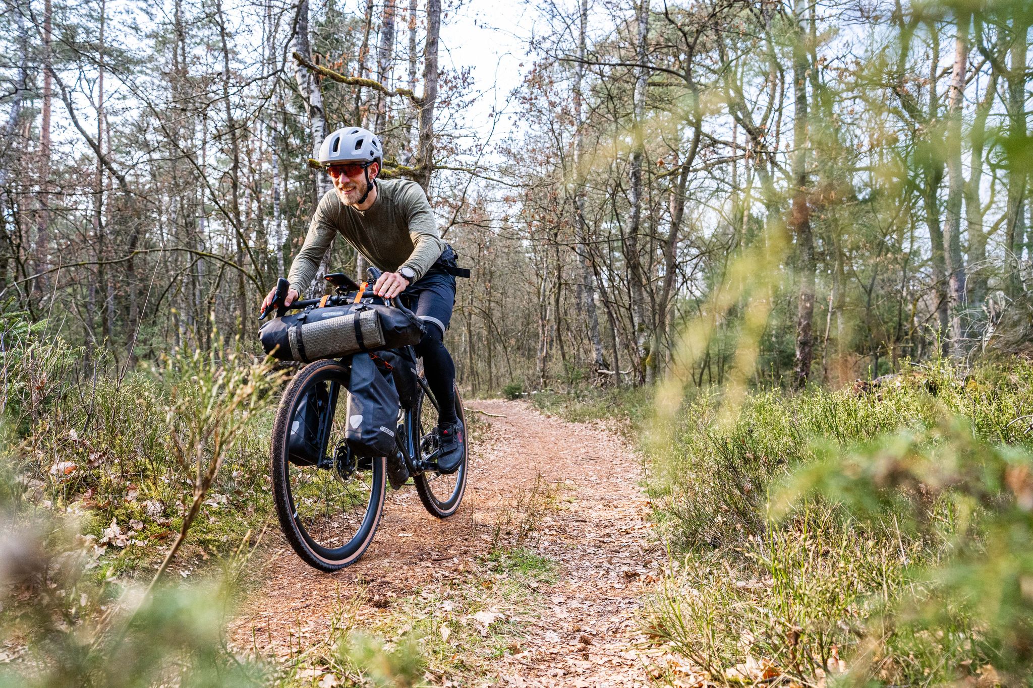
Gravel bikepacking from Hamburg to Munich
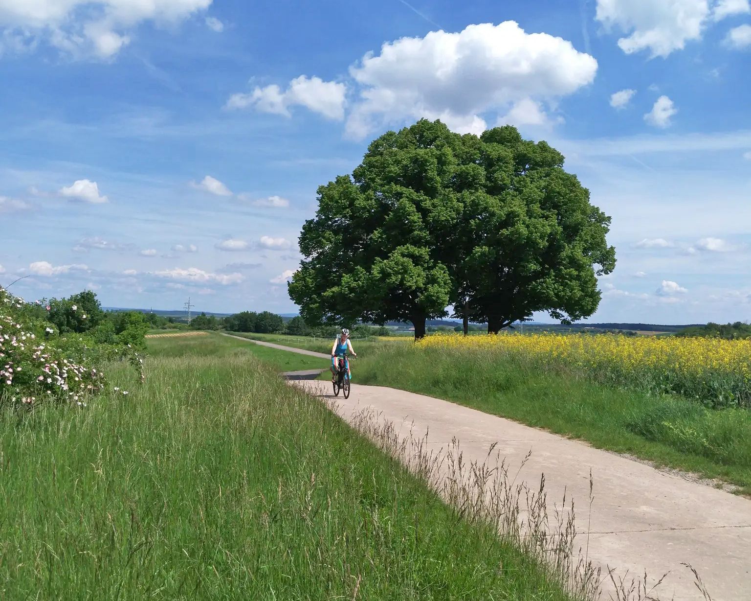
Main-Werra cycle path – From river to river
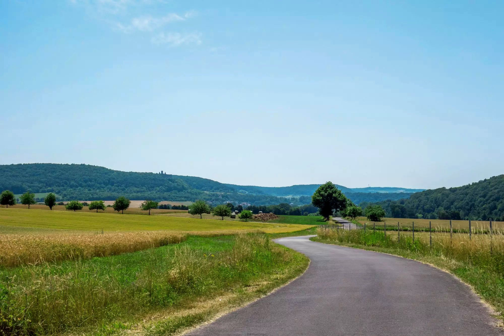
Rhön Cycleway in Germany – Cycling in the Land of Open Distances
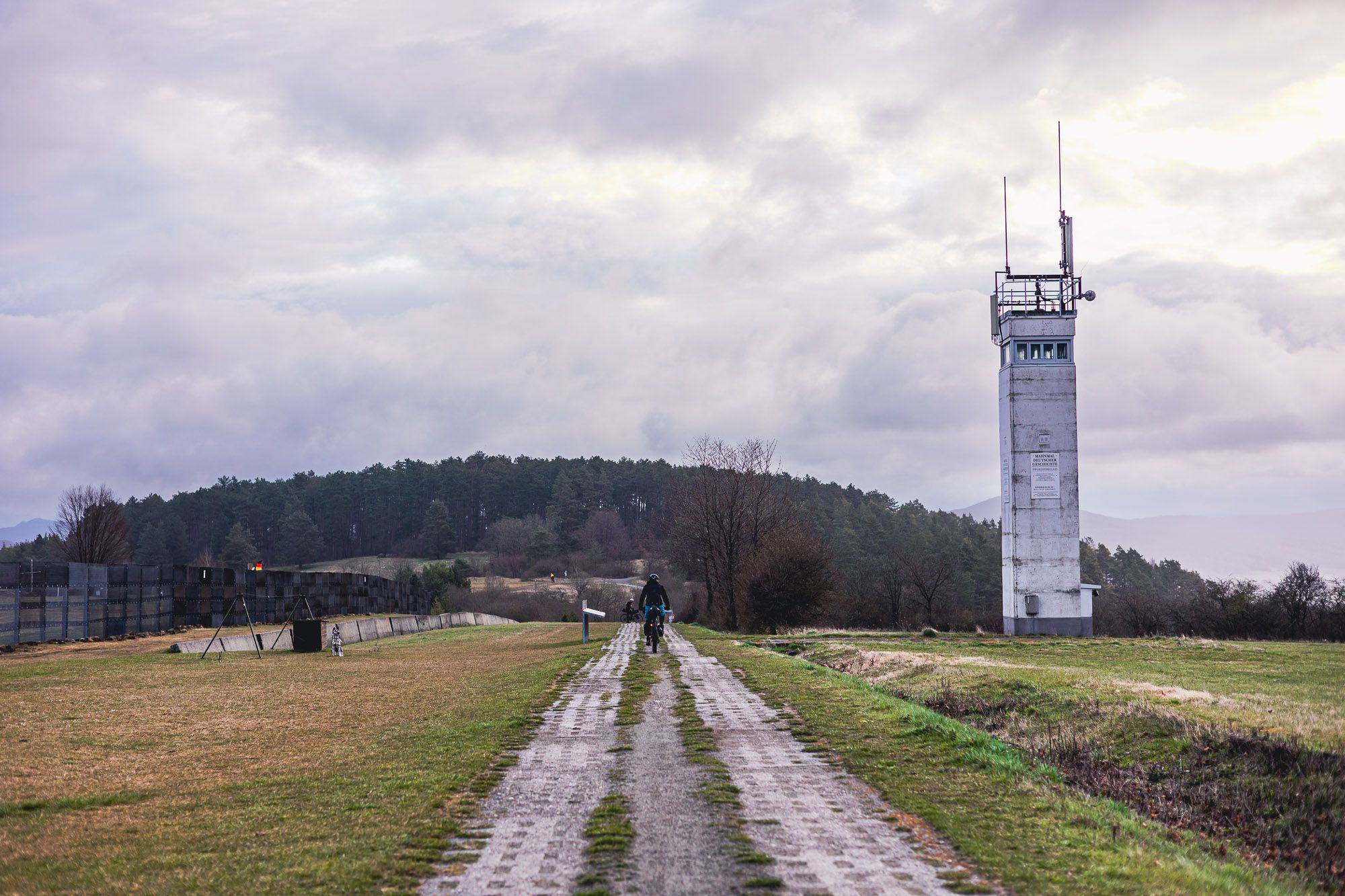
The Baltic Sea to Vogtland – 8 days along Germany's green former border

Stages of the HOCHRHÖNER Premium Hiking Trail

The National Natural Landscapes in Hessen

The National Natural Landscapes in Bavaria
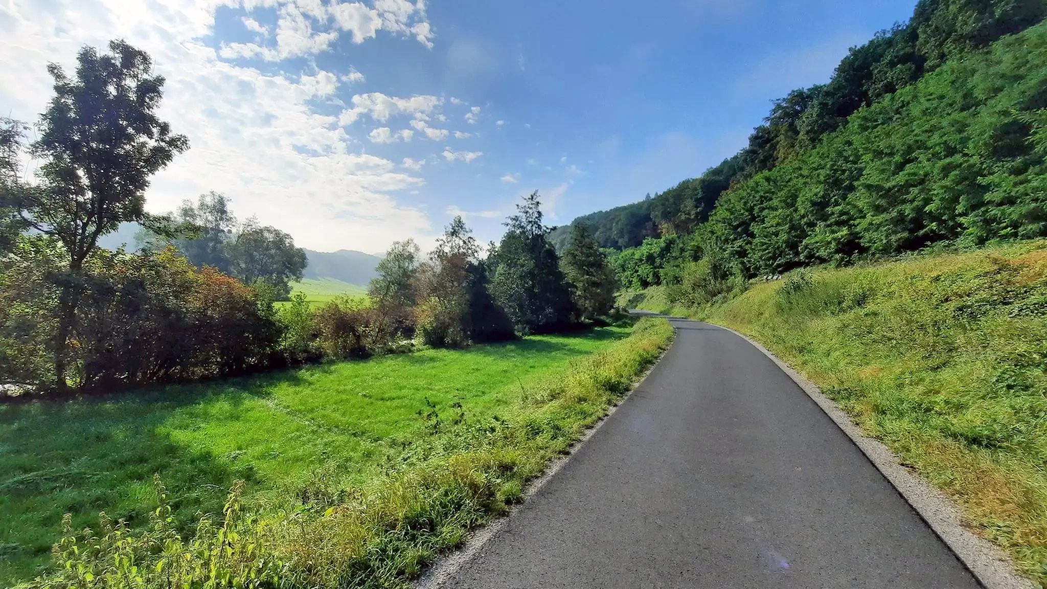
Ride from Grabfeld to the Main in Germany – Franconian Saale Cycle Route

Extra tours South - Excellent premium hiking trails of the Rhön
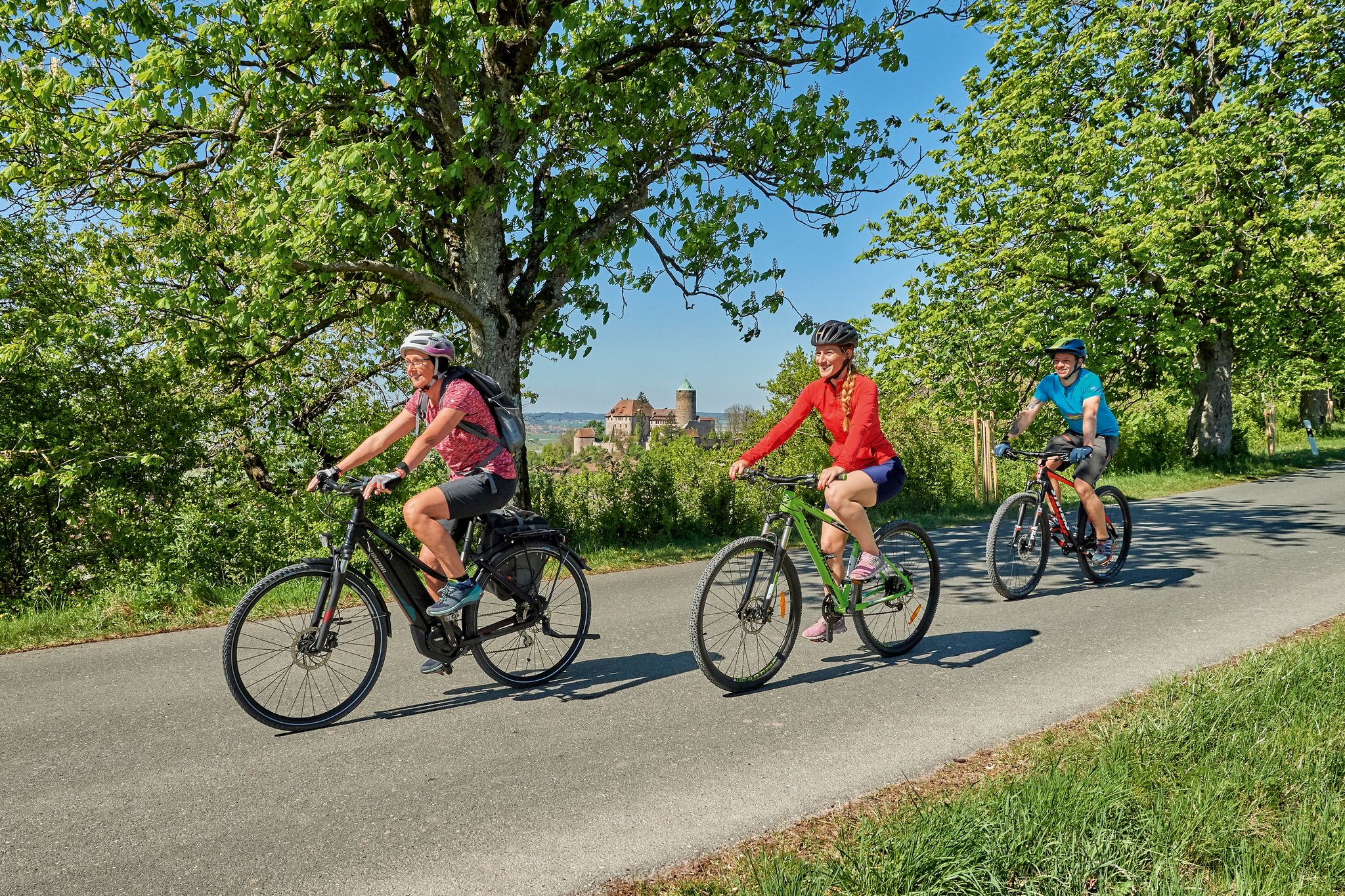
Magnificent cycling holidays — e-bike Tours through Franconia
Other adventures in Naturpark Bayerische Rhön


Tips from the Community


Great, you can observe a lot there
0
0

Candle chapel opposite the monastery church, in autumn / winter you can also warm up nicely here 😉
0
0

Very worthwhile to walk there - beautiful view from the tower.
0
0


One of the last raised bogs in Hesse. Peat mining was stopped here in 1986… Today, renaturation is the magic word
15
0

You can stop by
3
0
Frequently Asked Questions
How many mountaineering routes are available in Naturpark Bayerische Rhön?
The Naturpark Bayerische Rhön offers an extensive network of over 600 designated hiking trails and circular routes. On komoot, you'll find 11 specific mountaineering routes, ranging from easy to moderate, perfect for exploring the region's unique landscapes.
Are there any easy mountaineering routes suitable for beginners in Naturpark Bayerische Rhön?
Yes, there are routes suitable for beginners. For instance, the Sturmiusberg loop from Windheim is an easy 3.6 km (2.3 miles) trail that takes just over an hour to complete, offering a gentle introduction to the region's terrain.
What are some scenic viewpoints or landmarks to look out for on mountaineering routes in Naturpark Bayerische Rhön?
The region, known as the 'land of endless horizons,' offers many panoramic views. The View from the summit of Kreuzberg – Kreuzberg Monastery loop from Bischofsheim in der Rhön provides expansive vistas from Kreuzberg, the highest mountain in the Bavarian Rhön. You can also explore the unique moorland ecosystem at the Schwarzes Moor Nature Trail, or visit the historic Basalt Lake at the Stone House.
Are there any family-friendly mountaineering options in Naturpark Bayerische Rhön?
Many routes in Naturpark Bayerische Rhön are suitable for families, especially those looking for moderate walks. The extensive trail network includes options with varied difficulties, ensuring there are paths for different age groups and fitness levels. Consider routes with shorter distances and less elevation gain for younger hikers.
What do other mountaineers enjoy most about the routes in Naturpark Bayerische Rhön?
The mountaineering routes in Naturpark Bayerische Rhön are highly rated by the komoot community, with an average score of 4.0 stars from over 6 reviews. Mountaineers often praise the diverse landscapes, from high plateaus to mixed forests, and the unique volcanic topography that defines the region.
Can I find circular mountaineering routes in Naturpark Bayerische Rhön?
Yes, the Naturpark Bayerische Rhön features numerous circular routes. For example, the Marienbrünnlein – Kreuzberg Summit loop from Unterweißenbrunn is a popular moderate circular trail that takes you to the summit of Kreuzberg.
What is the best time of year for mountaineering in Naturpark Bayerische Rhön?
The Naturpark Bayerische Rhön is beautiful year-round, but spring and autumn are particularly recommended for mountaineering. During these seasons, the weather is generally pleasant, though it's wise to bring adequate clothing as winds can be brisk in the higher elevations. Winter offers opportunities for snowshoeing or cross-country skiing, but traditional mountaineering may be more challenging.
Are there any routes that pass by historical sites or ruins?
Yes, some routes incorporate historical elements. The Osterburg castle ruins – Kreuzberg Monastery loop from Bischofsheim in der Rhön will take you past the ruins of Osterburg castle and the significant Kreuzberg Monastery. Another option is the Ruins of Botenlauben Castle – Wandelhalle loop from Bad Kissingen.
What kind of wildlife might I encounter on the trails in Naturpark Bayerische Rhön?
As a UNESCO Biosphere Reserve, Naturpark Bayerische Rhön is rich in biodiversity. While specific sightings are never guaranteed, you might spot various bird species, deer, and smaller mammals. The diverse habitats, including forests, moors, and grasslands, support a wide array of flora and fauna.
Are the mountaineering routes in Naturpark Bayerische Rhön generally crowded?
While popular spots like Kreuzberg can attract visitors, the extensive network of over 600 trails means it's often possible to find less crowded routes, especially outside of peak season or by exploring some of the lesser-known paths. The region offers plenty of space to enjoy nature in tranquility.
What should I pack for a mountaineering trip in Naturpark Bayerische Rhön?
Given the varied terrain and potential for brisk winds at higher elevations, it's advisable to pack layers of clothing, sturdy hiking boots, and rain gear. Don't forget water, snacks, a map or GPS device, and sun protection. For longer routes, a first-aid kit is also recommended.
Most popular routes in Naturpark Bayerische Rhön
Most popular attractions in Naturpark Bayerische Rhön

Get inspired with the komoot mobile app


Explore more
Browse the best Mountain Hikes & Routes in other regions.
