Ehemaliger Standortübungsplatz Aschaffenburg Und Altenbachgrund
Ehemaliger Standortübungsplatz Aschaffenburg Und Altenbachgrund
The best walks and hikes in Ehemaliger Standortübungsplatz Aschaffenburg Und Altenbachgrund
4.6
(12407)
50,343
hikers
49
hikes
Hiking in Ehemaliger Standortübungsplatz Aschaffenburg Und Altenbachgrund offers diverse landscapes, transitioning from former military training grounds to a nature reserve. The region features a mosaic of habitats, including dry, open areas, grasslands, and forested sections with spring-fed streams and riparian zones. This area seamlessly connects to the surrounding Spessart hills, providing varied woodland hiking experiences.
Best hiking trails in Ehemaliger Standortübungsplatz Aschaffenburg Und Altenbachgrund
- The most popular hiking route is Way of the Cross at Erbig – Trail to the…
Last updated: October 4, 2026
4.8
(112)
484
hikers
Easy hike. Great for any fitness level. Easily-accessible paths. Suitable for all skill levels.
4.8
(35)
156
hikers
4.66km
01:19
100m
100m
Easy hike. Great for any fitness level. Easily-accessible paths. Suitable for all skill levels.

4.7
(21)
64
hikers
13.7km
03:53
290m
290m
Moderate hike. Good fitness required. Easily-accessible paths. Suitable for all skill levels.
4.8
(12)
38
hikers
Easy hike. Great for any fitness level. Easily-accessible paths. Suitable for all skill levels.
4.4
(7)
33
hikers
Easy hike. Great for any fitness level. Easily-accessible paths. Suitable for all skill levels.
Get access to more routes and recommendations from other explorers.
Already have an account?
Our route recommendations are based on thousands of hikes, rides, and runs completed by other people on komoot.
Start today with a free account
Your next adventure awaits.
Popular around Ehemaliger Standortübungsplatz Aschaffenburg Und Altenbachgrund
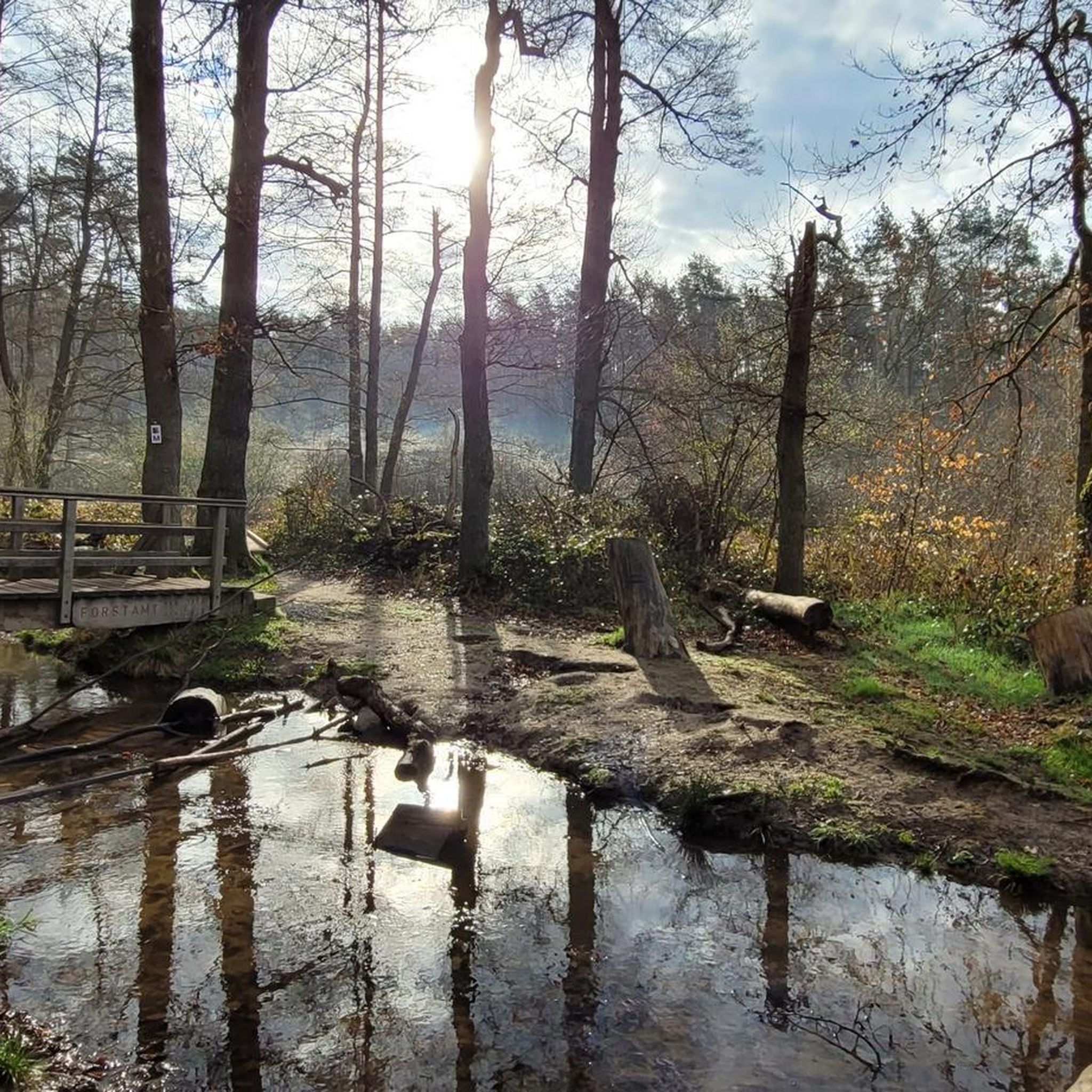
Cycling in Ehemaliger Standortübungsplatz Aschaffenburg Und Altenbachgrund
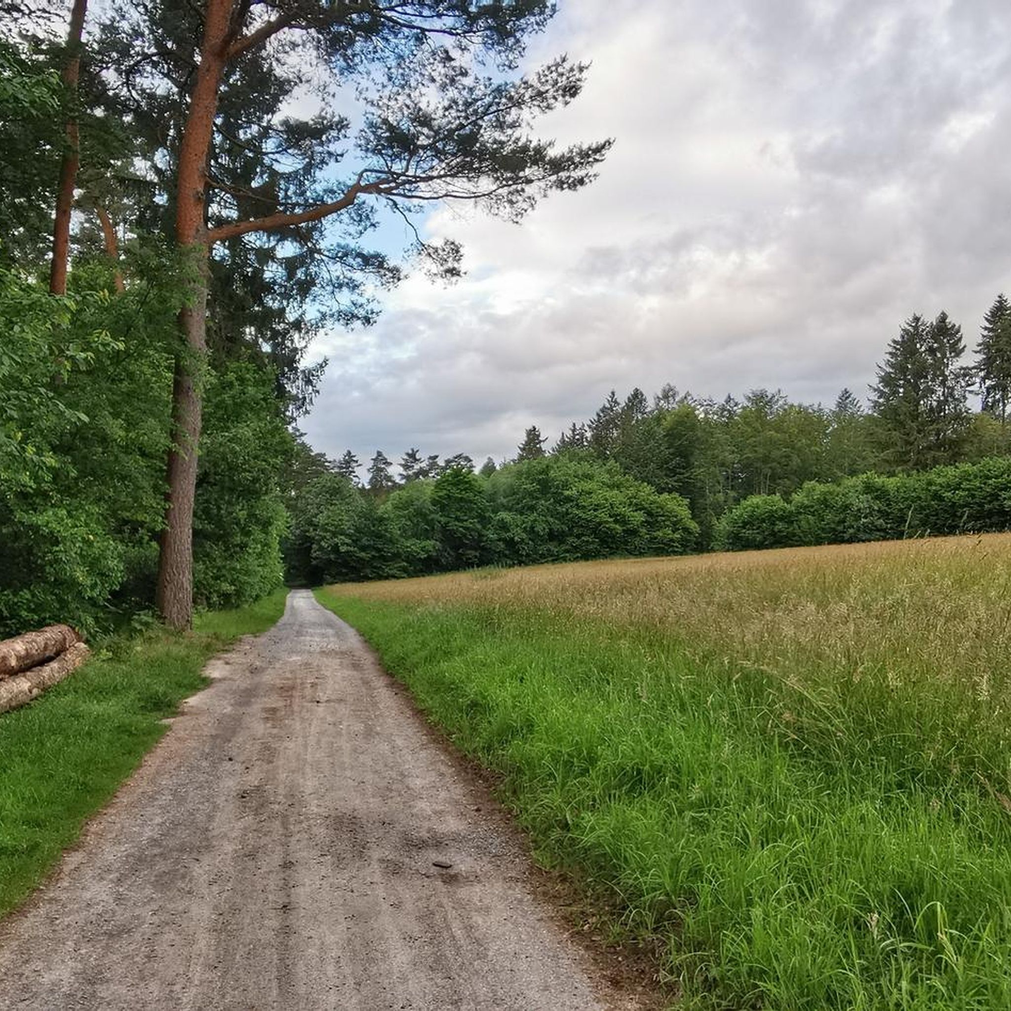
MTB Trails in Ehemaliger Standortübungsplatz Aschaffenburg Und Altenbachgrund
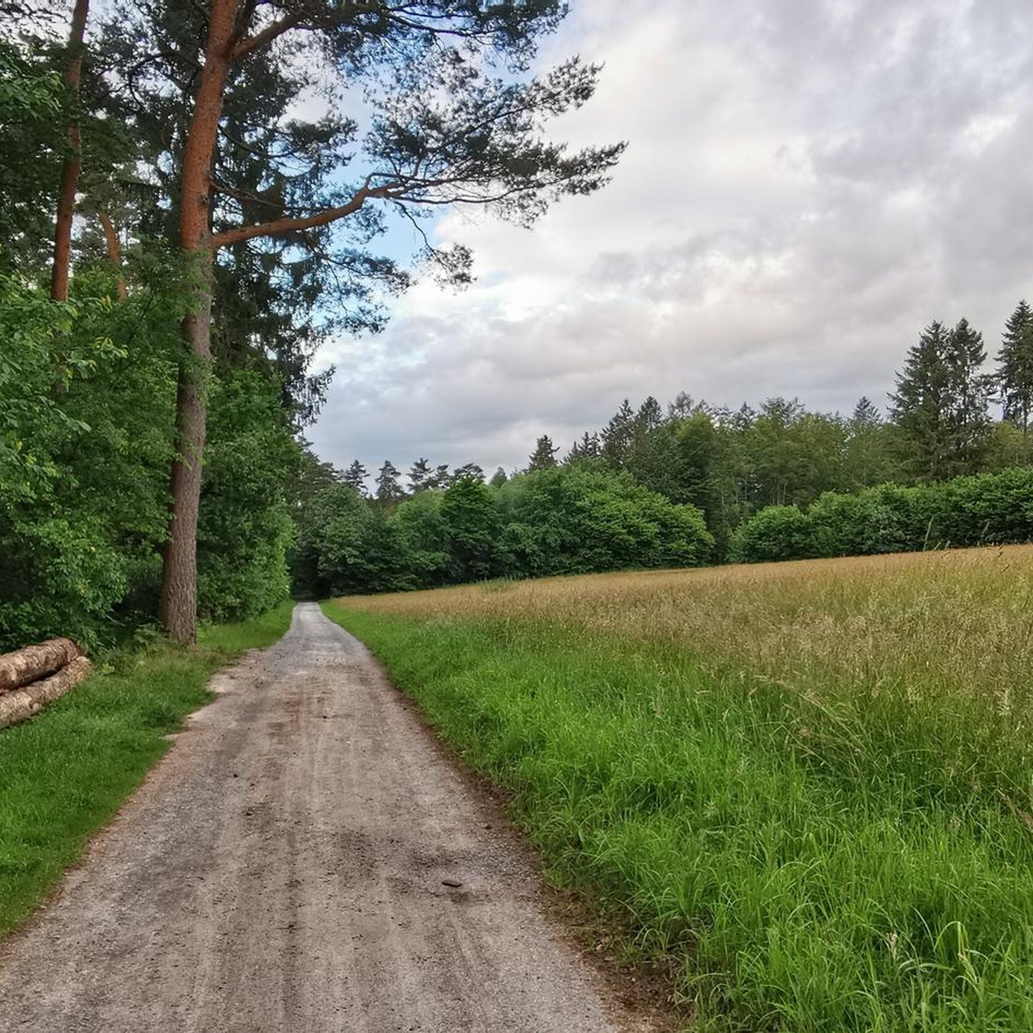
Road Cycling Routes in Ehemaliger Standortübungsplatz Aschaffenburg Und Altenbachgrund
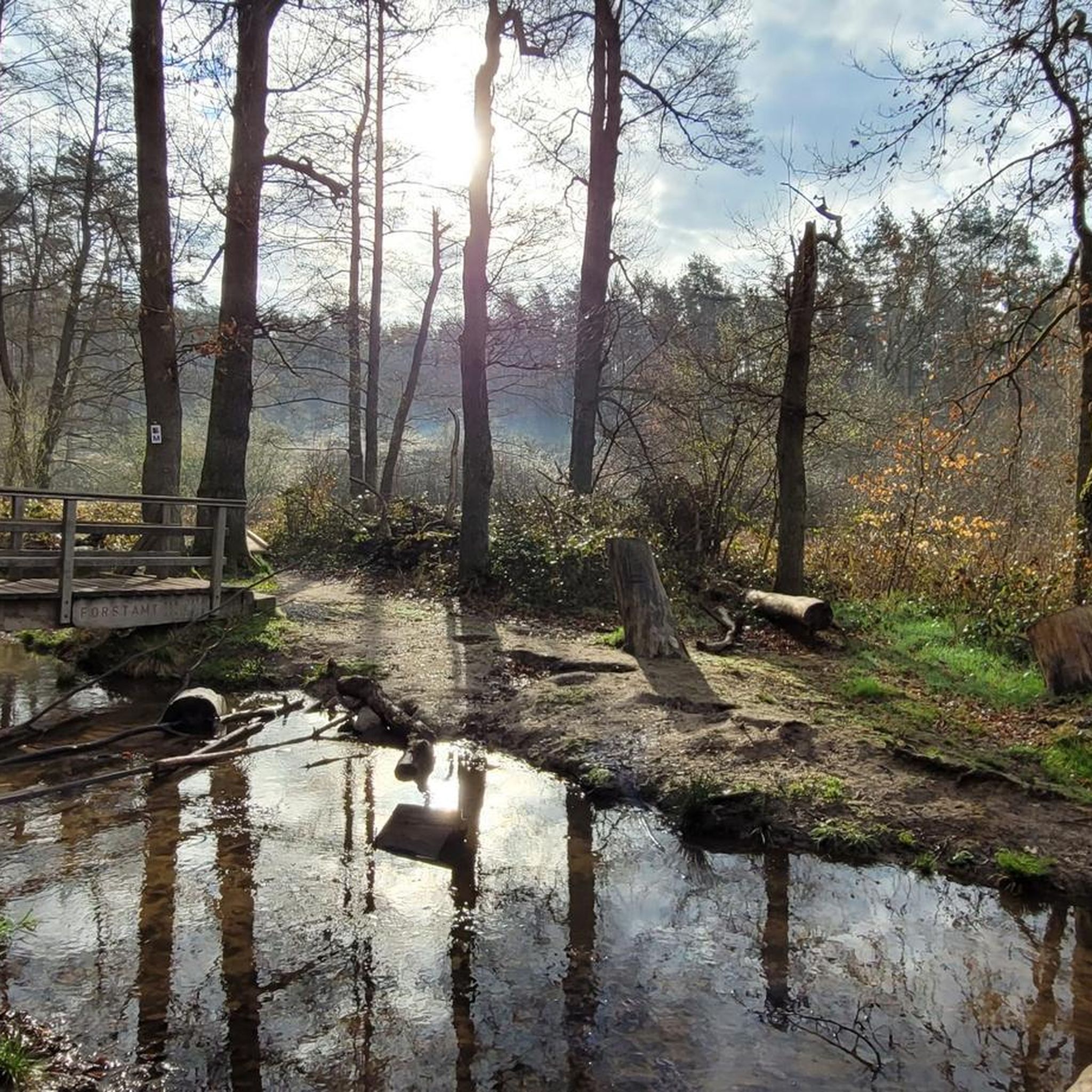
Running Trails in Ehemaliger Standortübungsplatz Aschaffenburg Und Altenbachgrund

Gravel biking in Ehemaliger Standortübungsplatz Aschaffenburg Und Altenbachgrund
Tips from the Community

Yes of course just yes oil
0
0

In the concluding words of the Way of the Cross prayer with the Holy Father, which according to ancient tradition takes place every Good Friday in the Roman Colosseum, Pope Benedict XVI summarized in 2006: + “In the mirror of the cross, we have seen all the suffering of present-day humanity. In the cross of Christ, we have seen the suffering of abandoned, abused children, the threats to the family, the division of the world in the arrogance of the rich, who do not see Lazarus before their door, and the poverty of so many who suffer from hunger and thirst. But we have also seen stations of consolation. We have… seen that, just as suffering does not cease, so too consolations do not cease.”
0
0

beautiful view, worth a visit!
0
0

Frequently used corner by bikers, even if it's not an official trail.
0
0

Here is a good spot to enjoy the panorama when visibility is good.
0
0
There must be very good weather conditions to be able to see the Frankfurt skyline.
1
0

small rocky area in the Spessart
1
0
Some Przewalski horses live here. With a bit of luck, you might see some of them.
1
0
Frequently Asked Questions
How many hiking trails are available in Ehemaliger Standortübungsplatz Aschaffenburg Und Altenbachgrund?
There are over 50 hiking trails in the region, offering a variety of experiences. Most of these, 41 to be exact, are classified as easy, making the area accessible for many visitors.
Are there easy trails suitable for beginners or families?
Yes, the area is very family-friendly, with 41 easy trails. A great option is the View of the Spessart Hills – Elbertsbrünnchen Spring loop from Sulzbach am Main, an easy 5.5 km path that offers scenic vistas and passes a natural spring. Another easy choice is the Elbertsbrünnchen Spring – Obernauer Chapel loop from Sulzbach am Main, which is just under 4 km.
Are there any circular hiking routes in the area?
Yes, the region features several circular routes. Within the nature reserve, there are two main circular routes: the 'Schmetterling' (Butterfly) route in the northern, drier former exercise ground, and the 'Schnepfe' (Woodcock) route in the southern, wetter Altenbach valley. You can also explore the Forest house at the former military training area Aschaffenburg loop from Schweinheim, a 6.7 km circular hike.
What kind of wildlife can I expect to see?
The area is rich in biodiversity. You might spot rare wild horse breeds like Przewalski horses and Heck cattle, which graze the open spaces. Look out for sand lizards, blue-winged grasshoppers, and various amphibians like the yellow-bellied toad and natterjack toad near the ponds. The flower-rich meadows are also home to the scarce large blue butterfly. You can observe the Przewalski horses at the Przewalski Horses Enclosure in Naturpark Spessart or from the Przewalski Horse Observation Point and Rest Area.
What are the main natural features or attractions to look out for?
The region boasts diverse habitats, from dry open areas to forested sections with spring-fed streams. A notable natural attraction is the Elbertsbrünnchen Spring, a natural spring perfect for refilling water bottles. The Altenbach valley features rich marshland and the Altenbach Wooden Bridges. The area also transitions into the surrounding Spessart hills, offering classic woodland scenery.
Is there an educational trail in the area?
Yes, there is a three-kilometer educational trail with 15 information boards established in 2018. This trail provides insights into the area's unique ecology and its historical significance as a former military training ground.
Where can I find drinking water along the trails?
The Elbertsbrünnchen Spring is a natural spring and a well-known spot for hikers to refill their water bottles. It's a convenient and refreshing stop on several routes.
Are there any historical points of interest?
The area's past as a military training ground from 1913, and later by US forces until 2007, adds a unique historical dimension. While many remnants have been rewilded, the history is part of the landscape's character. You can also find the Memorial to the Victims of the 1943 Explosion in Naturpark Spessart.
What should I be aware of regarding safety?
Due to its past as a military training ground, it is crucial to stay on marked paths. This is important for your safety as there is a potential for unexploded ordnance from its military past.
What is the best time of year to hike here?
The region offers pleasant hiking experiences throughout much of the year. Spring and autumn provide comfortable temperatures and beautiful scenery, with wildflowers in spring and vibrant foliage in autumn. The diverse habitats, including both open and forested areas, make it enjoyable across seasons, though summer can be warm in the open sections.
Where can I park when visiting the hiking trails?
While specific parking locations are not detailed in the guide data, the area is well-equipped for hikers. You can typically find designated parking areas near trailheads, especially for popular routes. It's advisable to check local maps or komoot tour details for specific parking suggestions for your chosen route.
What do other hikers say about the trails in this region?
The trails in Ehemaliger Standortübungsplatz Aschaffenburg Und Altenbachgrund are highly rated by the komoot community, with an average score of 4.5 stars from over 370 reviews. Hikers often praise the diverse landscapes, the unique rewilding projects, and the well-maintained trails that cater to various preferences.
Are there any longer, more challenging hikes?
While most trails are easy, there are moderate options for those seeking a bit more challenge. For example, the Way of the Cross at Erbig – Elbertsbrünnchen Spring loop from Sulzbach am Main is a moderate 10.3 km trail that leads through varied terrain, including the Erbig hill and past the Elbertsbrünnchen spring.
Are there any places to eat or drink nearby?
Yes, after your hike, you can find places to refresh. One option is Elli's Garden Tavern, which is listed as a nearby attraction and offers a place to eat and drink.
Most popular routes in Ehemaliger Standortübungsplatz Aschaffenburg Und Altenbachgrund
Most popular attractions in Ehemaliger Standortübungsplatz Aschaffenburg Und Altenbachgrund

Get inspired with the komoot mobile app


Explore more
Browse the best Hikes in other regions.
