The best walks and hikes in Breitenbachtal Bei Michelsrombach
4.5
(4405)
18,886
hikers
827
hikes
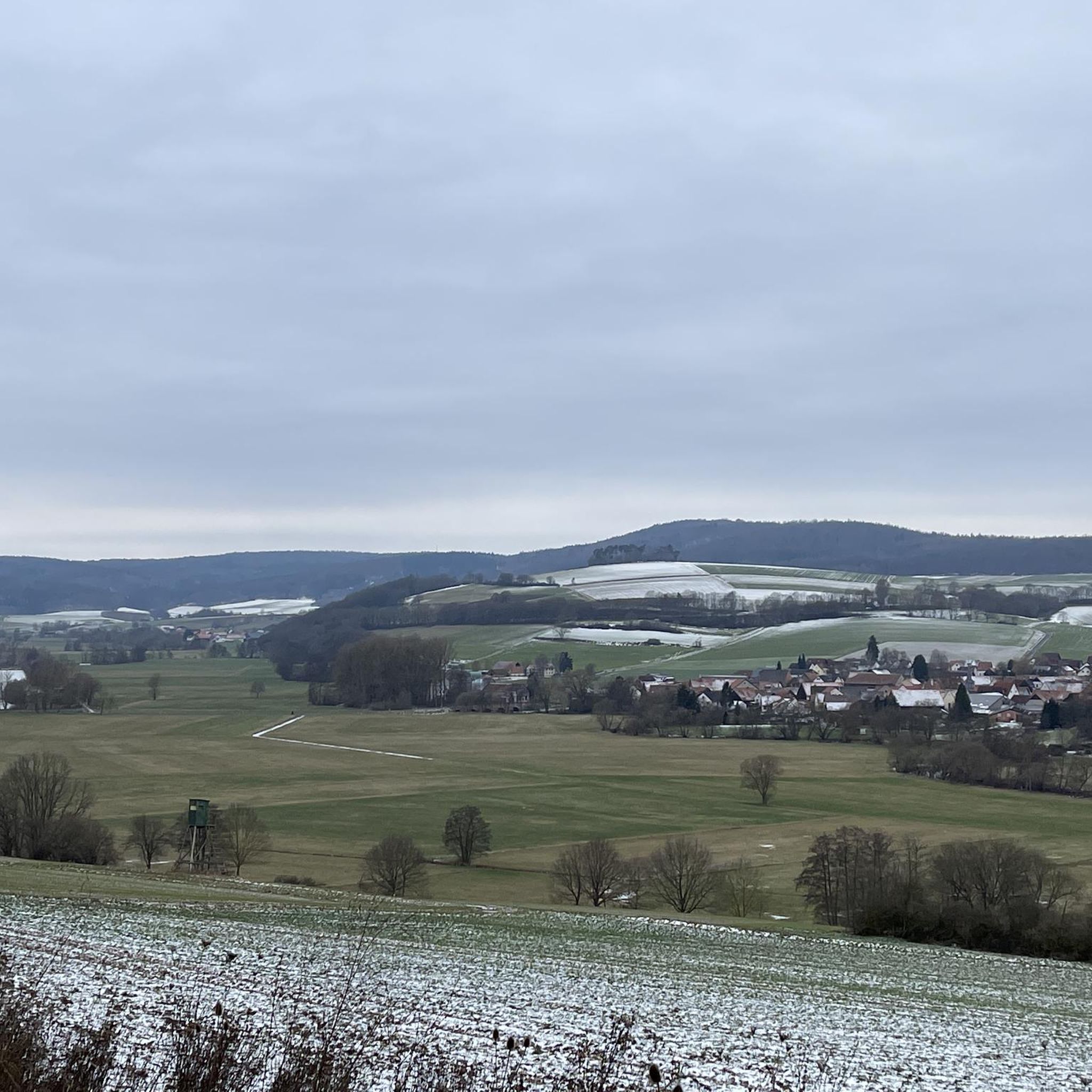
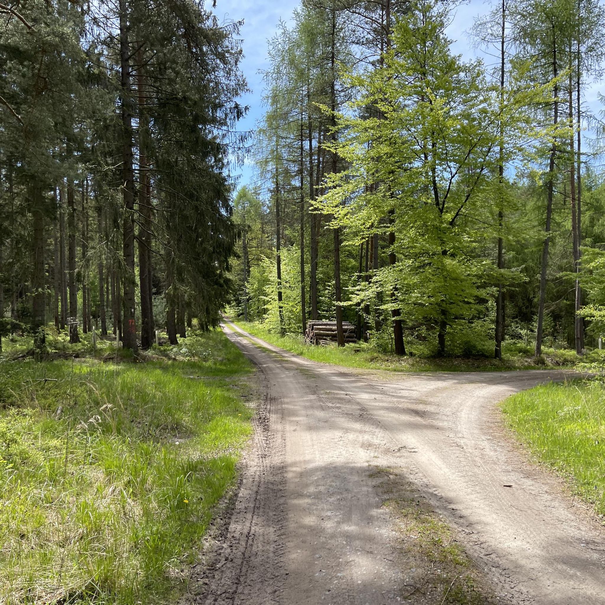
Hiking in Breitenbachtal Bei Michelsrombach offers diverse trails through a nature reserve characterized by picturesque valleys, green forests, and rolling hills. The area features old beech forests, deeply cut valleys, and boggy areas, providing varied terrain for exploration. A significant natural feature is the Furlbach river, which flows through the landscape, adding to the scenic beauty. The region was designated a nature reserve in 1990, preserving its natural integrity.
Best hiking trails in Breitenbachtal Bei Michelsrombach
- The most popular hiking…
Last updated: October 7, 2026
4.7
(3)
10
hikers
15.4km
04:12
240m
240m
Moderate hike. Good fitness required. Easily-accessible paths. Suitable for all skill levels.
5.0
(3)
3
hikers
Moderate hike. Good fitness required. Easily-accessible paths. Suitable for all skill levels.

4.4
(8)
7
hikers
2.98km
00:52
80m
80m
Easy hike. Great for any fitness level. Easily-accessible paths. Suitable for all skill levels.
3
hikers
5.30km
01:26
70m
70m
Easy hike. Great for any fitness level. Easily-accessible paths. Suitable for all skill levels.
4.0
(1)
4
hikers
10.2km
02:44
120m
120m
Moderate hike. Good fitness required. Easily-accessible paths. Suitable for all skill levels.
Get access to more routes and recommendations from other explorers.
Already have an account?
Our route recommendations are based on thousands of hikes, rides, and runs completed by other people on komoot.
Start today with a free account
Your next adventure awaits.
Tips from the Community

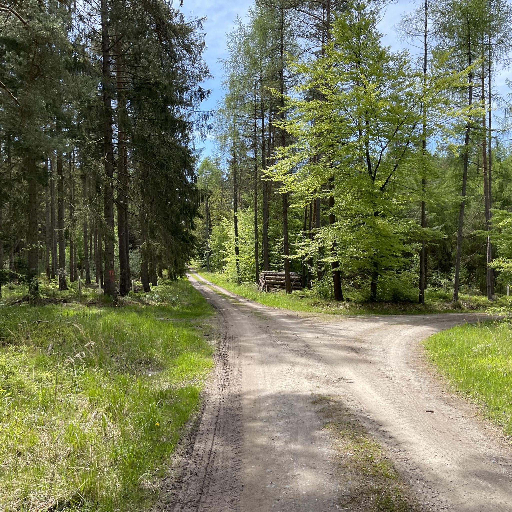
beautiful forest path that is well marked and paved
0
0
Small lake where you can walk around, also nice to sit and look at the lake
0
0

An interesting information board about the history of the hut is located in the shelter.
1
0

A little rest, relax and let's go 💨
1
0

The Red Cross, a wayside cross made of red sandstone, stands at this crossroads. Opposite is the Red Cross refuge and invites you to take a break.
8
0

The forest restaurant St. Hubertus is in a scenic location right on the edge of the forest and on the large Praforst pond. The forest restaurant is run by the Zuspann family, who have a special reputation in the Fulda region. The family business Zuspann has been closely associated with the catering industry for over 300 years. The current company bosses Elmar Zuspann and his son Marc have been continuing the tradition for many generations and always rely on regionality. Who is interested: www.zuspann.de/index.php
4
0

The Red Cross is an old crossroads in the forest north of Fulda. The name comes from the sandstone cross erected here. You can also find a refuge here. Nowadays the A7 runs along the ridge, which you can clearly hear. But if you follow one of the many paths into the forest, it will quickly become quiet again.
1
0

Frequently Asked Questions
How many hiking trails are available in Breitenbachtal Bei Michelsrombach?
Breitenbachtal Bei Michelsrombach offers a wide selection of hiking trails, with over 800 routes to explore. These range from easy strolls to more challenging treks, ensuring options for various fitness levels.
What kind of natural features can I expect to see while hiking here?
The region is a designated nature reserve, characterized by picturesque valleys, green forests, and rolling hills. You'll encounter old beech forests, deeply cut valleys, and boggy areas. A significant feature is the Furlbach river, known for its clear water and the chance to spot cobalt-blue kingfishers. The Bentteiche also feature unique peat moss and moorland plants.
Are there any easy hiking trails suitable for beginners or casual walkers?
Yes, Breitenbachtal Bei Michelsrombach has numerous easy trails. For instance, the Pfordter See loop from Breitecke is an easy 3.0 km route around a pond, typically completed in under an hour. Another accessible option is the Pond in the Rhön Mountains loop from Eichberg, which is 5.3 km long and also rated easy.
What are the more challenging hiking options in the area?
While most trails are easy to moderate, there are options for those seeking more challenge. The region offers 11 difficult routes. For a moderate challenge, consider the Görzenberg (405 m) – Schilda (423 m) loop from Breitenbachtal bei Michelsrombach, a 9.5 km path with ascents to local hills, providing rewarding views.
Are there any circular hiking routes in Breitenbachtal Bei Michelsrombach?
Yes, many routes in the area are circular, allowing you to start and end at the same point. Examples include the Höferberg – Hirschkuppe loop from Eichberg, a 10.4 km moderate hike, and the Pfordter See loop from Breitecke, an easy 3.0 km option.
What do other hikers say about the trails in Breitenbachtal Bei Michelsrombach?
The area is highly rated by the komoot community, with an average score of 4.6 stars from over 3,600 reviews. Hikers often praise the diverse natural scenery, including the quiet woodlands and the Furlbach river, as well as the well-maintained paths.
Are there any places to eat or drink near the hiking trails?
Yes, in the Praforst area, you can find the "St. Hubertus" forest restaurant. There's also a charming beer garden situated under old trees at the entrance to a campsite, offering a pleasant spot to relax after your hike.
Are the hiking trails in Breitenbachtal Bei Michelsrombach suitable for families with children?
The diverse range of trails includes many easy options that are suitable for families. The presence of a children's playground and a mini-golf course adjacent to the beer garden in Praforst also makes the area appealing for family outings.
Can I bring my dog on the hiking trails?
While specific regulations for dogs vary, nature reserves generally welcome well-behaved dogs on a leash. Given the natural setting and numerous paths, it's a popular area for dog walkers. Always ensure your dog is under control and respect local signage regarding pets.
What historical landmarks or points of interest can be found in the area?
Beyond the natural beauty, you can discover the old Tütgenmühle near the source of the Furlbach river, which adds a touch of historical interest to the landscape.
Is there parking available near the trailheads?
While specific parking locations are not detailed for every trailhead, the presence of amenities like the "St. Hubertus" forest restaurant and a campsite in Praforst suggests that parking facilities are available in key access points to the nature reserve.
What is the best time of year to go hiking in Breitenbachtal Bei Michelsrombach?
The region's diverse landscapes, including old beech forests and the Furlbach river, make it appealing throughout the warmer months. Spring offers lush greenery and blooming flora, while autumn provides vibrant fall colors. Summer is also popular, but consider starting earlier to avoid peak heat.
Most popular routes in Breitenbachtal Bei Michelsrombach

Get inspired with the komoot mobile app


Explore more
Browse the best Hikes in other regions.
