Trockenverbundgebiet Rhön - Grabfeld
Trockenverbundgebiet Rhön - Grabfeld
The best running trails in Trockenverbundgebiet Rhön - Grabfeld
4.4
(434)
6,139
runners
625
runs
Jogging in Trockenverbundgebiet Rhön - Grabfeld offers diverse routes through a varied topography, encompassing elements of the Rhön mountains and the fertile Grabfeld plain. The region features near-natural calcareous grasslands, providing visually appealing routes through a mosaic of natural environments. Runners can explore gently rolling to hilly terrain, lush meadows, and dense forests within this area, which is part of the Rhön Biosphere Reserve.
Best jogging routes in Trockenverbundgebiet Rhön - Grabfeld
- The most popular jogging route is Streu Bridge…
Last updated: May 21, 2026
4.8
(6)
76
runners
10.3km
01:12
190m
190m
Moderate run. Good fitness required. Mostly accessible paths. Some sure footedness required.
58
runners
39.9km
04:38
820m
820m
Hard run. Very good fitness required. Mostly accessible paths. Some sure footedness required.

Sign up for free
5.0
(2)
19
runners
15.8km
01:49
300m
300m
Hard run. Very good fitness required. Mostly paved surfaces. Suitable for all skill levels.
10
runners
5.26km
00:33
20m
20m
Moderate run. Good fitness required. Mostly paved surfaces. Suitable for all skill levels.
5.0
(1)
15
runners
Moderate run. Good fitness required. Mostly paved surfaces. Suitable for all skill levels.
Get access to more routes and recommendations from other explorers.
Sign up for free
Already have an account?
Our route recommendations are based on thousands of hikes, rides, and runs completed by other people on komoot.
Start today with a free account
Your next adventure awaits.
Login or Signup
Popular around Trockenverbundgebiet Rhön - Grabfeld
Tips from the Community

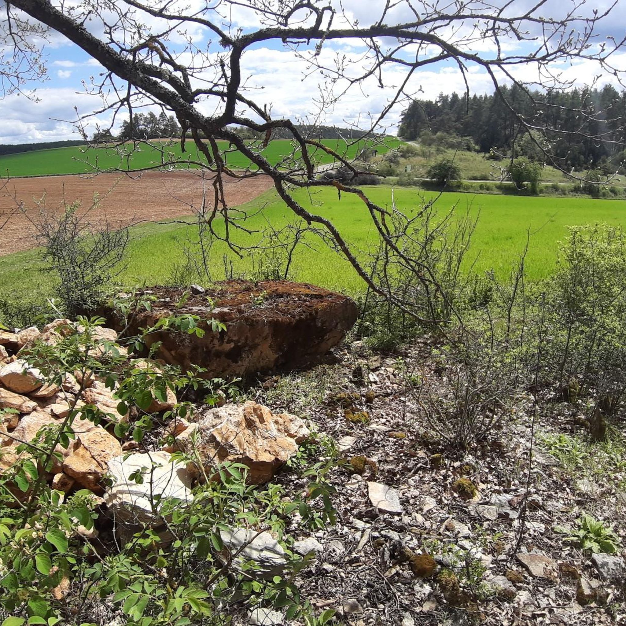
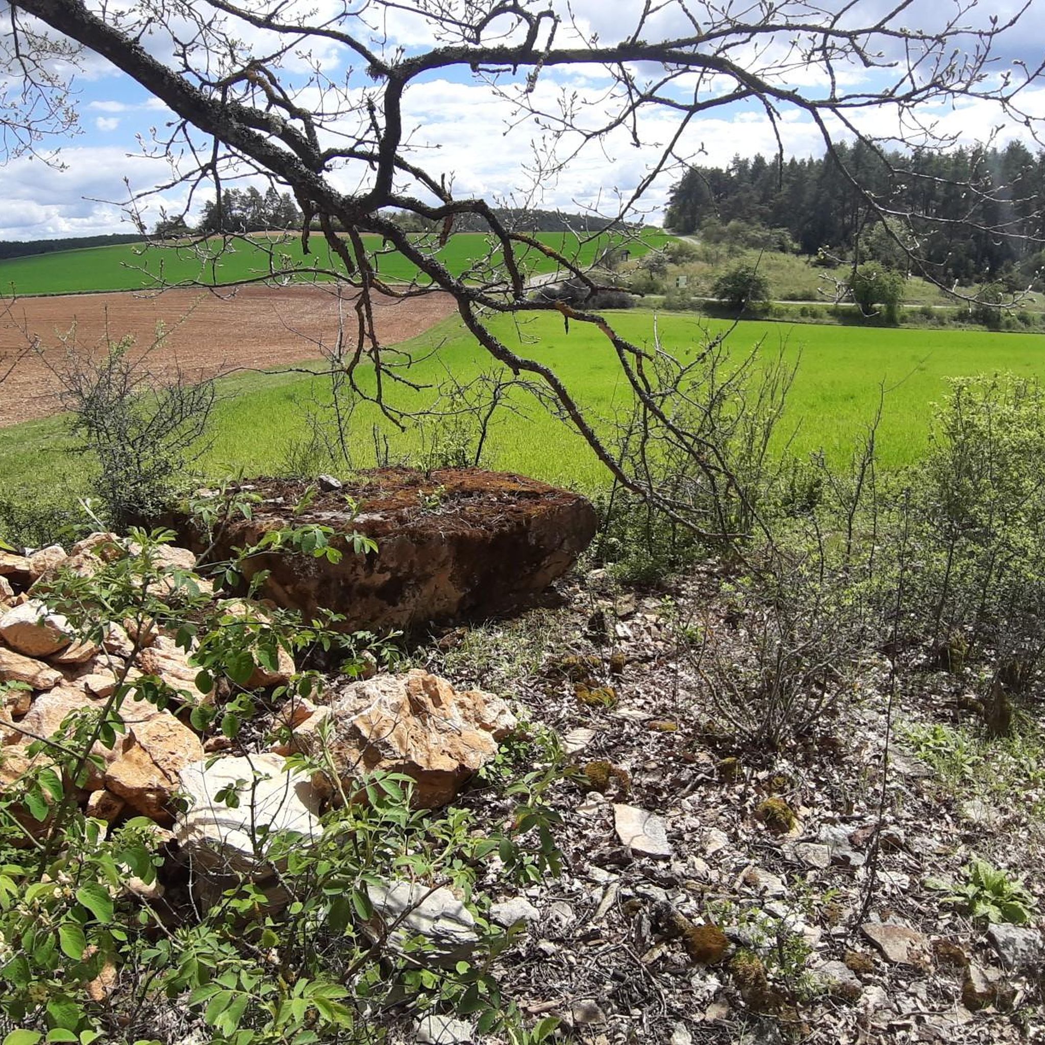
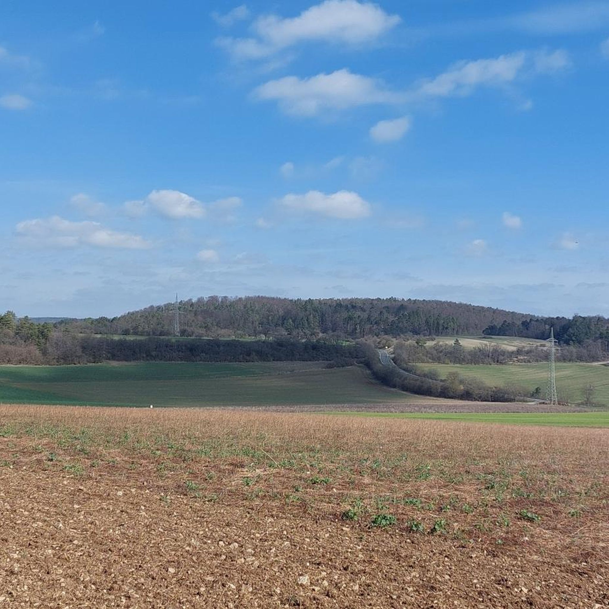
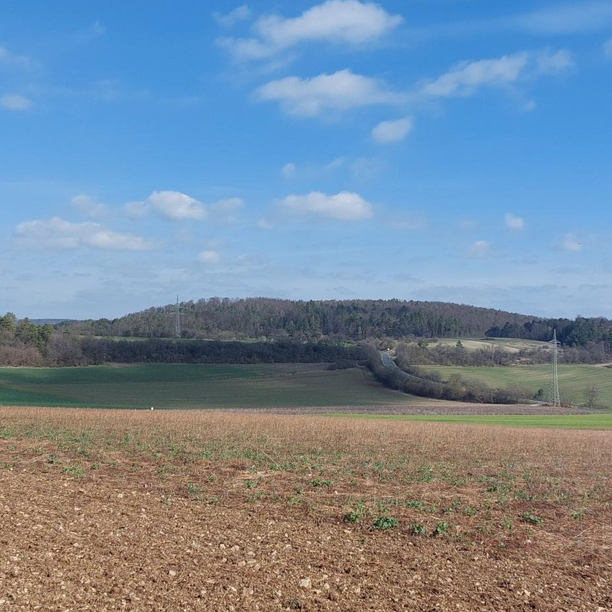
On a clear day, the hills of the Rhön region are visible at the harvested grain fields.
0
0

built around 1860 in gratitude for the healing of children
0
0
Built in 1984 to clear floodwaters, the litter can unfold without damming
0
0
fantastically idyllic with water, lots of green and all sorts of things around - very nice
0
0
A real fairytale castle, with a moat, stables, etc.; can be booked for celebrations and weddings
0
0

A romantic moated castle in Unsleben. A beautiful photo opportunity from all sides. The remains of an old tower and a moated castle can still be seen. The castle is on the list of the Hague Convention for the Protection of Cultural Property in the Event of Armed Conflict.
1
0

The Elstal cycle path leads from Unsleben in the Streutal to Oberelsbach. The cycle path is almost completely asphalted.
9
0
Frequently Asked Questions
How many running routes are available in Trockenverbundgebiet Rhön - Grabfeld?
There are over 600 running routes available in Trockenverbundgebiet Rhön - Grabfeld, catering to various fitness levels. You'll find a diverse network of trails, from easy paths to challenging long-distance runs.
What kind of terrain can I expect on the jogging trails in Trockenverbundgebiet Rhön - Grabfeld?
The region offers a varied topography, including gently rolling to hilly terrain with some steeper sections. You'll run through lush meadows, dense forests, and unique calcareous grasslands, which are known for their remarkable orchid populations and visual appeal.
Are there easy running routes suitable for beginners or casual joggers?
Yes, Trockenverbundgebiet Rhön - Grabfeld offers 74 easy running routes, typically up to 5 km with minimal elevation gain. These paths are perfect for beginners or those looking for a relaxed jog through the scenic landscape.
What do other runners enjoy most about jogging in Trockenverbundgebiet Rhön - Grabfeld?
The area is highly rated by the komoot community, with an average score of 4.4 stars from over 450 reviews. Runners frequently praise the diverse natural environments, the expansive scenic views, and the well-maintained network of trails that allow for varied experiences.
Are there any circular running routes in the region?
Yes, many of the routes in Trockenverbundgebiet Rhön - Grabfeld are circular. For example, the Birkig Hut – Birkighütte Beer Garden loop from Oberstreu is a moderate 10.18 km circular route, offering a great experience without retracing your steps.
Can I find long-distance running routes for more challenging workouts?
Absolutely. For those seeking a challenge, there are 88 difficult routes available. A notable long-distance option is the Lake Frickenhäuser – Marienkapelle loop from Oberstreu, which spans nearly 40 km and features significant elevation changes, leading through calcareous grasslands and forests.
Are there any interesting sights or natural features to see along the running trails?
The natural landscape itself is a primary attraction. You can experience the unique calcareous grasslands with their orchid populations, extensive forests, and wide vistas. Highlights include the Nonnenpfad–Frickenbachweg Forest Trail and the Former military training area in Naturpark Bayerische Rhön, offering diverse natural beauty.
Are the running routes in Trockenverbundgebiet Rhön - Grabfeld suitable for families?
While the guide doesn't specifically label routes as 'family-friendly,' the 74 easy routes, typically shorter and with less elevation, are generally suitable for families with children who enjoy outdoor activities. The varied terrain and natural beauty make for an engaging experience for all.
What is the best time of year for jogging in Trockenverbundgebiet Rhön - Grabfeld?
The region is beautiful year-round, but spring and autumn offer particularly pleasant conditions for running, with mild temperatures and vibrant scenery. Spring brings blooming wildflowers, especially the orchids in the calcareous grasslands, while autumn showcases stunning foliage in the forests.
Are there any routes that offer particularly scenic views?
Many routes in the region promise scenic views, as it's known as the 'Land der Offenen Fernen' (Land of Wide Vistas). The hilly and undulating terrain often provides expansive panoramas over the diverse landscapes, including meadows, forests, and the unique calcareous grasslands.
Can I find moderate running trails in the area?
Yes, the majority of routes, 451 to be precise, are classified as moderate. These trails, like the Bastheim Village Fountain – Old Brewery Bastheim loop from Bastheim, typically range up to 15 km with moderate elevation gain, requiring good basic fitness and offering a balanced challenge.
Most popular routes in Trockenverbundgebiet Rhön - Grabfeld
Most popular attractions in Trockenverbundgebiet Rhön - Grabfeld

Get inspired with the komoot mobile app


Explore more
Browse the best Running Trails & Routes in other regions.
