Waldhof-Standorfsberg Bei Grüsselbach
Waldhof-Standorfsberg Bei Grüsselbach
The best MTB trails in Waldhof-Standorfsberg Bei Grüsselbach
4.7
(545)
1,242
riders
170
rides
Mountain bike trails in Waldhof-Standorfsberg Bei Grüsselbach are situated within a nature reserve in the district of Fulda, Hessen, Germany. This protected area, established in 1988, spans approximately 245 hectares and borders Thuringia and the Rasdorferberg nature reserve. The region features a varied landscape conducive to outdoor pursuits, offering a mix of terrain suitable for mountain biking. Its status as a Naturschutzgebiet implies a well-preserved environment rich in biodiversity and scenic beauty.
Best mountain bike trails in Waldhof-Standorfsberg Bei Grüsselbach
…Last updated: October 8, 2026
4.6
(16)
34
riders
Moderate mountain bike ride. Great for any fitness level. Advanced riding skills necessary.
4.5
(2)
3
riders
Moderate mountain bike ride. Good fitness required. Suitable for all skill levels.

4.6
(7)
12
riders
Hard mountain bike ride. Very good fitness required. Advanced riding skills necessary.
4.8
(8)
23
riders
Moderate mountain bike ride. Good fitness required. Advanced riding skills necessary.
5.0
(8)
35
riders
54.0km
02:59
330m
330m
Moderate mountain bike ride. Good fitness required. Advanced riding skills necessary.
Get access to more routes and recommendations from other explorers.
Already have an account?
Our route recommendations are based on thousands of hikes, rides, and runs completed by other people on komoot.
Start today with a free account
Your next adventure awaits.
Popular around Waldhof-Standorfsberg Bei Grüsselbach
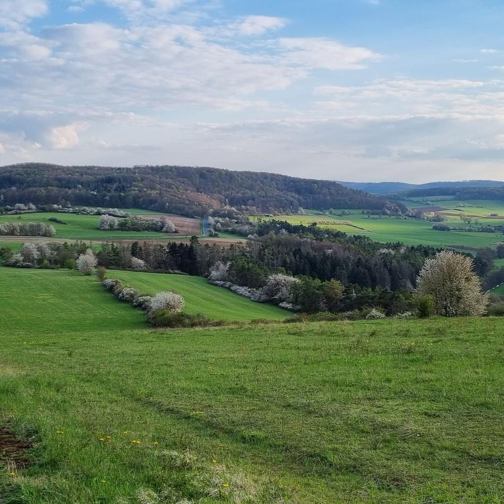
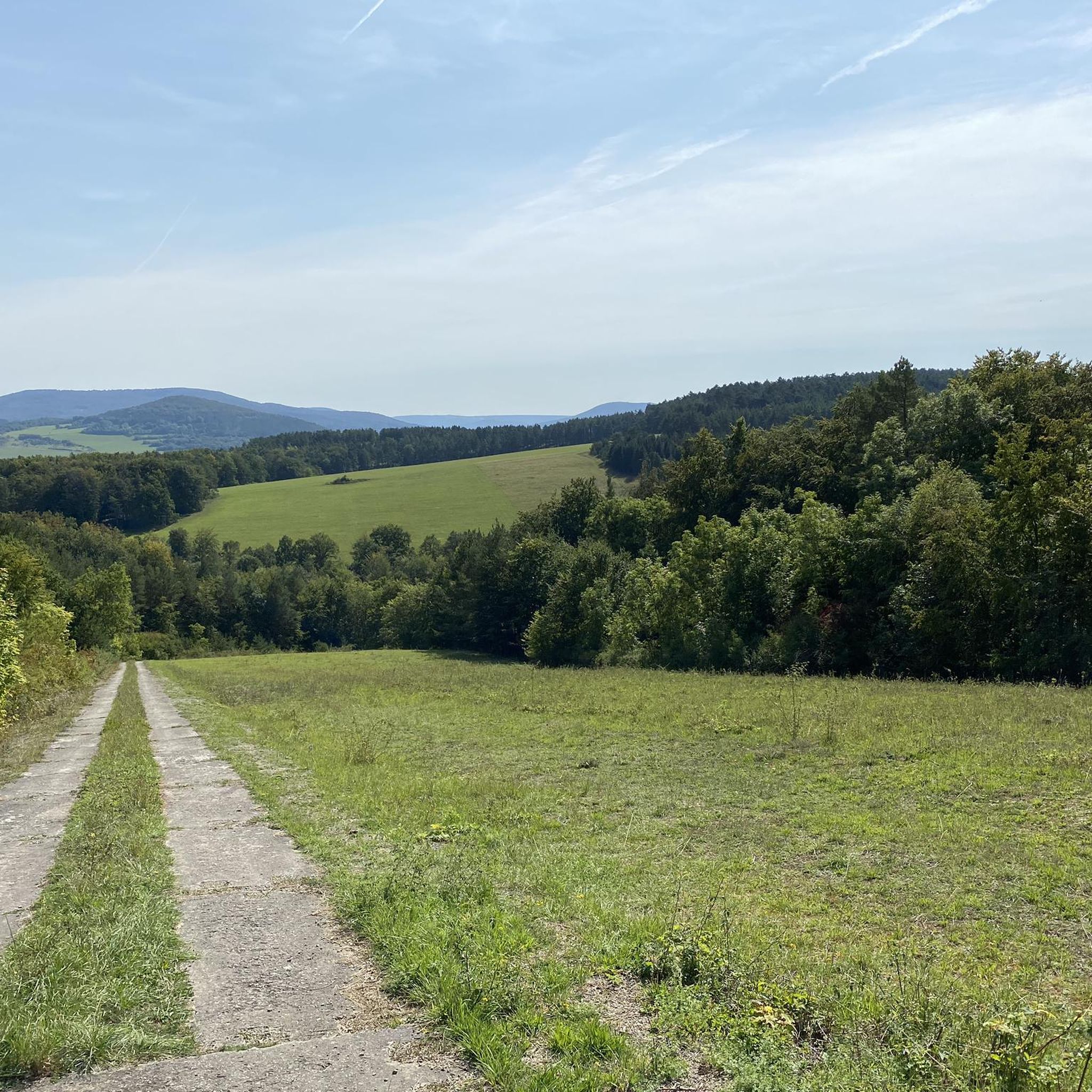
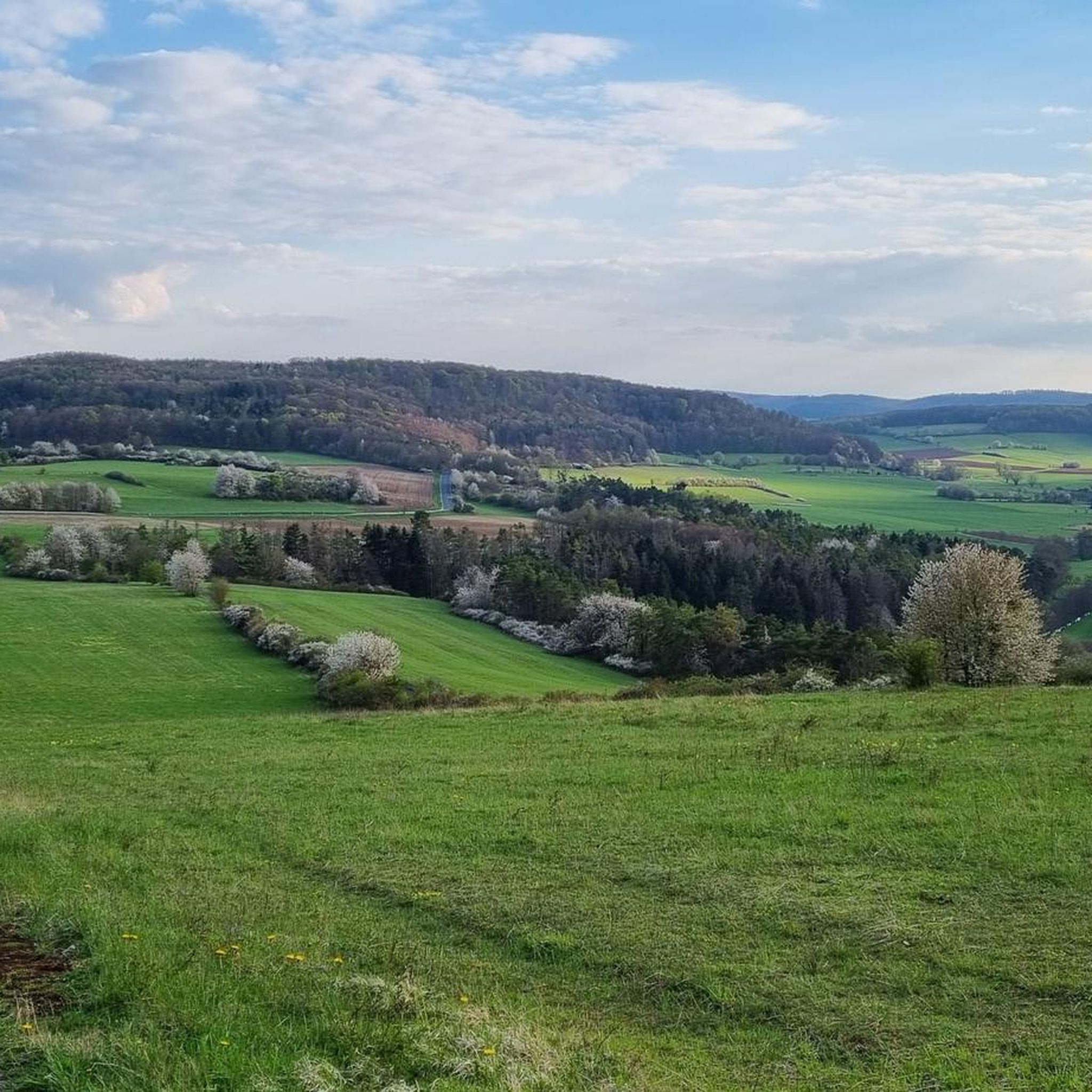
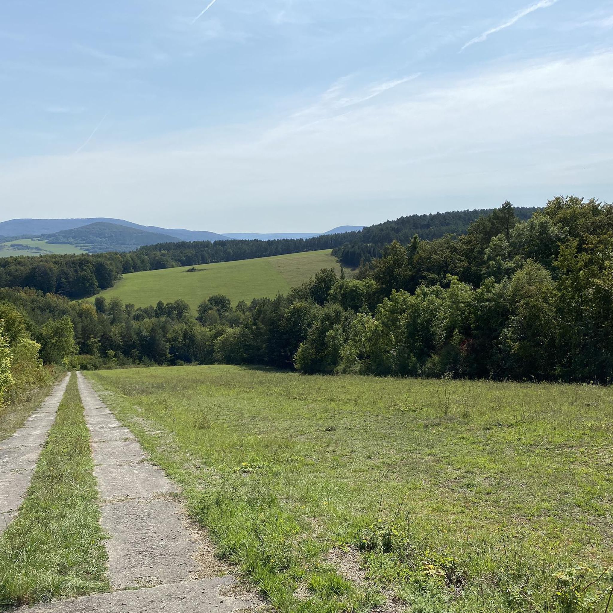
Tips from the Community

The observation towers are indeed unsettling.
0
0
The panoramic view from the Wasserkuppe is simply impressive! 🤩 #Panoramablick #Wasserkuppe
0
0

At 950m above sea level, the Wasserkuppe towers over the peaks as far as the eye can see. During this circular hike, there are always fascinating views and vistas. Furthermore, in good weather, you can observe the activity of gliders and paragliders. So hiking friends, put on your hiking boots and head out into the wonderful nature of the Rhön.
0
0

The Westhang paragliding launch site on the Wasserkuppe is one of the best-known and most frequented launch sites for hang gliders and paragliders in all of Germany. It is located at an altitude of around 920 meters above sea level on the western flank of the plateau, in the immediate vicinity of the famous aviator monument. The area can be reached by visitors and pilots via a short footpath, which leads west from the central parking lots past the Radom. As the terrain is exposed in the strong wind area of the Rhön, the gently sloping grass launch site offers ideal, obstacle-free access to the airspace. From a flying perspective, the Westhang is characterized by its enormous versatility. It serves as an important main launch site for the local flight school for the high-altitude training of students, while at the same time offering optimal conditions for experienced soaring and thermal pilots to enter the updraft. Due to its geographical orientation to the west and northwest, the slope unfolds its full potential, especially from the afternoon hours, when solar radiation ensures reliable thermal releases. On summer evenings, the so-called "soaring" can be regularly observed here, where pilots use the dynamic slope wind to glide silently along the edge until sunset. A classic flight path leads after takeoff across a forest clearing towards the Siebloser Horn. From here, long-distance pilots repeatedly achieve remarkable, unpowered flights under suitable weather conditions, which can lead far into neighboring federal states or even abroad.Due to the intensive mixed use on Hesse's highest mountain, paragliders share the airspace cooperatively with glider pilots, model aircraft pilots, and hang glider pilots. To ensure safety and protect the sensitive nature of the UNESCO Biosphere Reserve Rhön, strict rules apply at the Westhang. Usually, a launch director on site coordinates operations. Pilots are asked to enter the launch site on days with high demand only when fully ready for takeoff and to refrain from "groundhandling" (exercises with the parachute on the ground) in the immediate launch area. For spectators and hikers, the Westhang offers a fascinating spectacle due to its proximity to the hiking trails, as one can watch the pilots at very close range during preparation, the subsequent takeoff run, and the majestic liftoff.
0
0

From the Wasserkuppe, the highest mountain in the Rhön, an impressive view opens up over the gently rolling low mountain range landscape. Wide meadows, dense forests, and striking peaks characterize the panorama. In clear weather, the view extends far beyond the UNESCO Biosphere Reserve Rhön, revealing the special beauty of this unique region. The changing light conditions give the landscape its own character in every season. While lush green dominates in summer, colorful forests create a vibrant picture in autumn. The view from the Wasserkuppe conveys peace, vastness, and a special nature experience.
1
0

One of the many imposing views that can be enjoyed in the land of open distances.
0
0
The 529 m high Rockenstuhl is the landmark of the Geisaer Land and is located about 5 km south of Geisa between the Ulster and Geisa valleys. At the foot of the mountain is the five-meter-high "Kreuz der Geiserämter" (Cross of the Geisa Offices), which was solemnly consecrated during the medieval festival in 2006. The Geisaer Amt with its razed farms is depicted on a basalt surface.
1
0

Watch out, there's non-alcoholic beer in there too 😜😂
0
0
Frequently Asked Questions
How many mountain bike trails are available in Waldhof-Standorfsberg Bei Grüsselbach?
There are over 190 mountain bike routes available in Waldhof-Standorfsberg Bei Grüsselbach, catering to various skill levels from easy to difficult.
What types of terrain and difficulty levels can I expect for mountain biking in this region?
The region offers a varied landscape suitable for mountain biking, with routes categorized as easy, moderate, and difficult. You'll find a mix of terrain within the nature reserve, providing both challenge and scenic beauty. For an easy ride, consider the Rasdorf Collegiate Church – View of Gehilfersberg Hill loop from Waldhof-Standorfsberg bei Grüsselbach. A moderate option is the Blue Bridge over the Ulster River – Lothar Mai House loop from Buttlar, while the Milseburg – Former Hilders railway station loop from Buttlar offers a more difficult challenge with significant elevation gain.
Are there any family-friendly mountain bike trails in Waldhof-Standorfsberg Bei Grüsselbach?
Yes, the region includes easy routes suitable for families. The Rasdorf Collegiate Church – View of Gehilfersberg Hill loop from Waldhof-Standorfsberg bei Grüsselbach is an easy 11.2-mile (18.1 km) trail that leads through the local countryside and can be completed in about an hour, making it a good option for a family outing.
What is the best time of year to go mountain biking in Waldhof-Standorfsberg Bei Grüsselbach?
The region is particularly appealing during spring and summer when rare plants flourish, offering a vibrant natural backdrop for your rides. The well-preserved environment of the nature reserve makes it enjoyable throughout the warmer months.
What kind of natural features or landmarks can I see while mountain biking here?
As a nature reserve, Waldhof-Standorfsberg Bei Grüsselbach is rich in biodiversity and scenic beauty. You can explore the Kegelspiel Cycle Path, and nearby attractions include the Waldhof Estate. The area's status as a 'Naturschutzgebiet' ensures a well-preserved natural environment.
Are there any historical points of interest near the mountain bike trails?
Yes, you can find historical points of interest such as the Military Vehicle and Helicopter Exhibition at Point Alpha and the Bomber Crash Memorial. These sites offer a glimpse into the region's past while you explore the trails.
What do other mountain bikers say about the trails in Waldhof-Standorfsberg Bei Grüsselbach?
The routes in Waldhof-Standorfsberg Bei Grüsselbach are highly rated by the komoot community, with an average score of 4.6 stars from over 550 reviews. Many riders praise the varied terrain and the scenic beauty of the nature reserve.
Are there any circular mountain bike routes available?
Yes, many routes in the area are designed as loops. Examples include the moderate Geiserämter Kreuz Viewpoint – Point Alpha Memorial loop from Waldhof-Standorfsberg bei Grüsselbach and the Point Alpha Way of the Cross – Geiserämter Kreuz Viewpoint loop from Geisa.
What is the typical length of mountain bike trails in Waldhof-Standorfsberg Bei Grüsselbach?
Trail lengths vary significantly. You can find shorter routes like the easy Rasdorf Collegiate Church – View of Gehilfersberg Hill loop from Waldhof-Standorfsberg bei Grüsselbach at 11.2 miles (18.1 km), up to longer, more challenging rides such as the difficult Milseburg – Former Hilders railway station loop from Buttlar which is 49.0 miles (78.9 km).
Is there public transport access to the mountain bike trails, or is parking available?
While specific public transport details for trailheads are not provided, the region is accessible. For those driving, parking is generally available near popular starting points, though it's always advisable to check specific route details for designated parking areas.
Are dogs allowed on the mountain bike trails in Waldhof-Standorfsberg Bei Grüsselbach?
As a nature reserve, it's generally expected that dogs are welcome on trails, but should be kept on a leash to protect wildlife and other visitors. Always check local signage for specific regulations within the protected area.
Are there any facilities like rest areas or cafes along the trails?
You can find facilities such as the Rest area at the viaduct on the Kegelspielradweg. For cafes or other amenities, it's best to plan your route to pass through or near the small towns and settlements in the vicinity of the nature reserve.
Most popular routes in Waldhof-Standorfsberg Bei Grüsselbach
Most popular attractions in Waldhof-Standorfsberg Bei Grüsselbach

Get inspired with the komoot mobile app


Explore more
Browse the best MTB trails in other regions.
