The best road cycling routes in Meißner
4.6
(315)
2,310
riders
88
rides
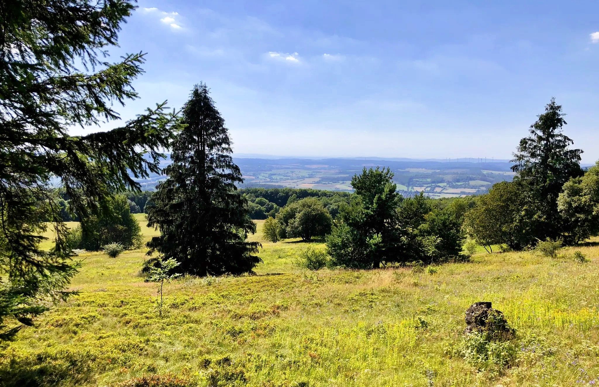
Road cycling routes in Meißner traverse a region characterized by its hilly terrain and the prominent Hoher Meißner mountain massif, which rises to 753.6 meters. The landscape features dense forests, diverse geology with basalt formations, and continuous undulations. This varied topography within the Geo-Naturpark Frau-Holle-Land provides a range of road cycling experiences.
Best road cycling routes in Meißner
- The most popular road cycling route is Frau Holle Trail Hoher Meißner – View from Schwalbenthal loop from Meißner, a 9.9…
Last updated: October 4, 2026
5.0
(1)
4
riders
Moderate road ride. Good fitness required. Mostly well-paved surfaces and easy to ride.
4.7
(18)
24
riders
Moderate road ride. Good fitness required. Mostly well-paved surfaces and easy to ride.

4.0
(1)
16
riders
33.0km
01:25
280m
280m
Easy road ride. Great for any fitness level. Mostly well-paved surfaces and easy to ride.
7
riders
24.9km
01:22
230m
230m
Moderate road ride. Great for any fitness level. Some segments of this route may be unpaved and difficult to ride.
4.7
(7)
4
riders
Moderate road ride. Good fitness required. Mostly well-paved surfaces and easy to ride.
Get access to more routes and recommendations from other explorers.
Already have an account?
Our route recommendations are based on thousands of hikes, rides, and runs completed by other people on komoot.
Start today with a free account
Your next adventure awaits.
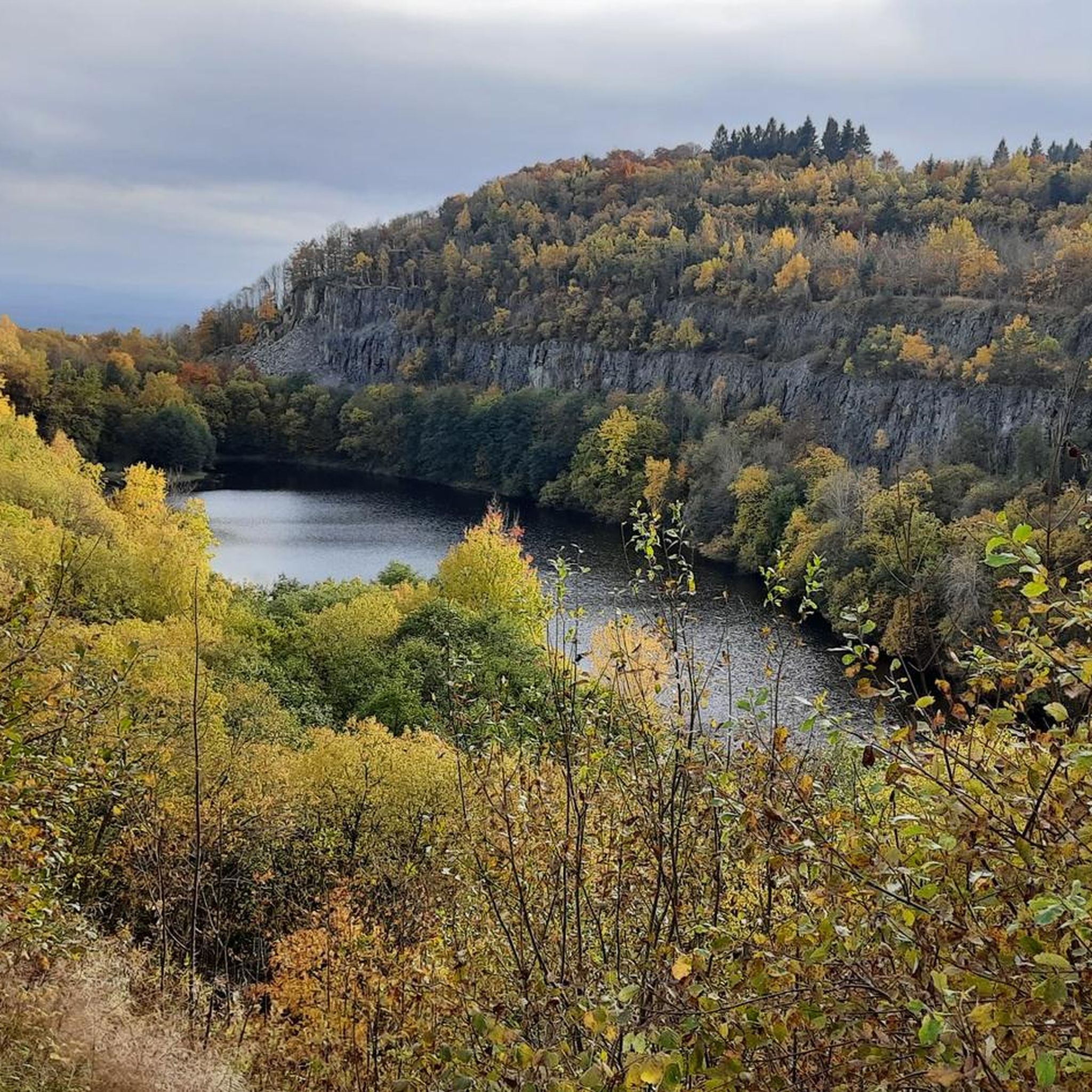
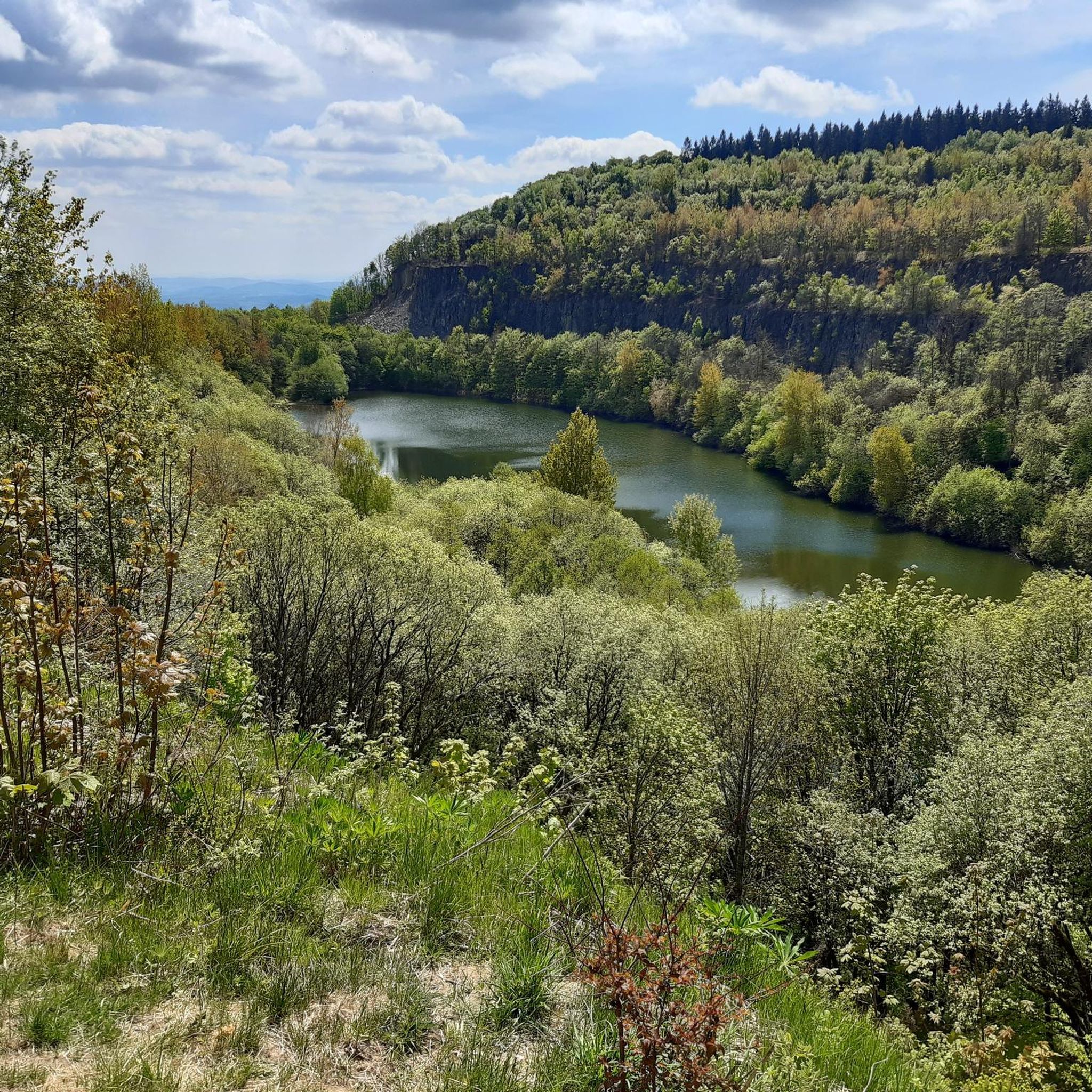
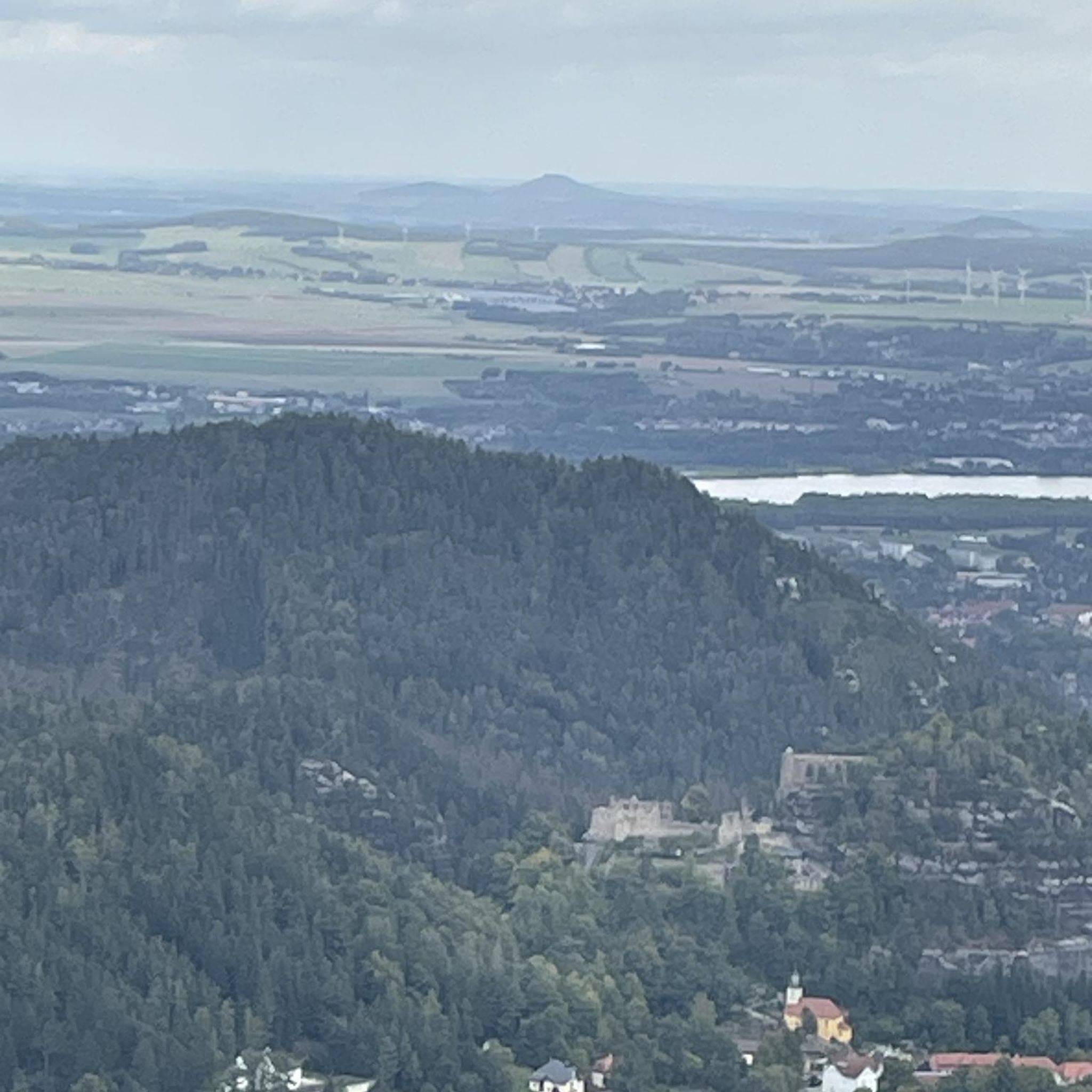


Tips from the Community

Very nice bike path from Herkules to Wartburg.
0
0

Beautiful nature stones and beautiful village but don’t want to say wow
1
0
A well-preserved viaduct of the Gelster Valley Railway, located directly on the cycle path. Here's some more information: The Gelster Valley Railway was opened in 1915, during World War II, and used for passenger and freight transport until 1973. Freight service was discontinued in 1983.
1
1

In Vockerode, at the foot of Frau Holle's mountain, the Hoher Meißner, Goldmarie and Pechmarie each sit atop a fountain. The bronze sculptures were created by Kassel artist Erika Maria Wiegand. Engraved, appropriately for the fairytale's rewarded Goldmarie and the punished Pechmarie, are the words: "She helped the good and punished the wicked."
0
0
A beautiful photo opportunity, right next to the Schwalbenthal viewing point parking lot. The monument commemorates the mining industry on the Meißner and the miners who lost their lives in the process.
1
0

Beautiful old viaduct directly on the cycle path
1
0

First-class road in a beautiful region
0
0

Just get into the groove and enjoy. Sweating feels good.
0
0
Frequently Asked Questions
How many road cycling routes are available in Meißner?
Meißner offers a wide selection of road cycling routes, with over 90 tours available on komoot. These routes cater to various skill levels, including 19 easy, 65 moderate, and 9 difficult options, ensuring there's a suitable ride for every cyclist.
What kind of terrain can I expect on road cycling routes in Meißner?
Road cycling in Meißner is characterized by its hilly terrain and continuous undulations, set within the Geo-Naturpark Frau-Holle-Land. The region features dense forests and diverse geology, including impressive basalt formations. While not excessively steep, the routes provide a good workout and offer scenic views over the northern Hessian low mountain range.
Are there any easy road cycling routes for beginners in Meißner?
Yes, Meißner offers 19 easy road cycling routes suitable for beginners or those looking for a less strenuous ride. One such route is the Steinberg – Beerberg loop from Hohekopf bei Großalmerode, which covers 32.9 km with moderate elevation changes.
What are some challenging road cycling routes in Meißner?
For ambitious cyclists seeking a challenge, Meißner provides routes with significant elevation changes. The region is known for its hilly topography, and there's even a dedicated mountain time trial route, the "StoppOmat-Bergzeitrennfahrstrecke," between Abterode and the Meißner-Plateau. You can find 9 difficult routes listed on komoot for the area.
What natural features and landmarks can I see along the road cycling routes in Meißner?
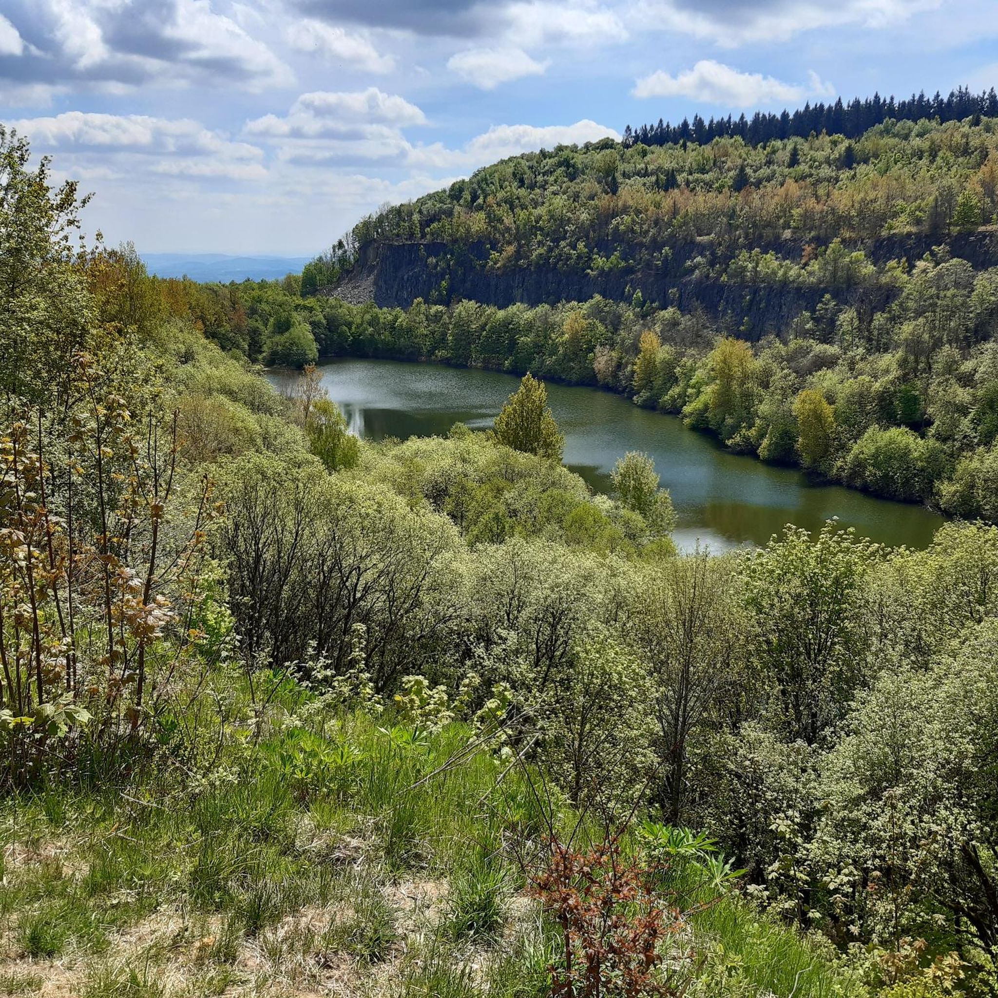
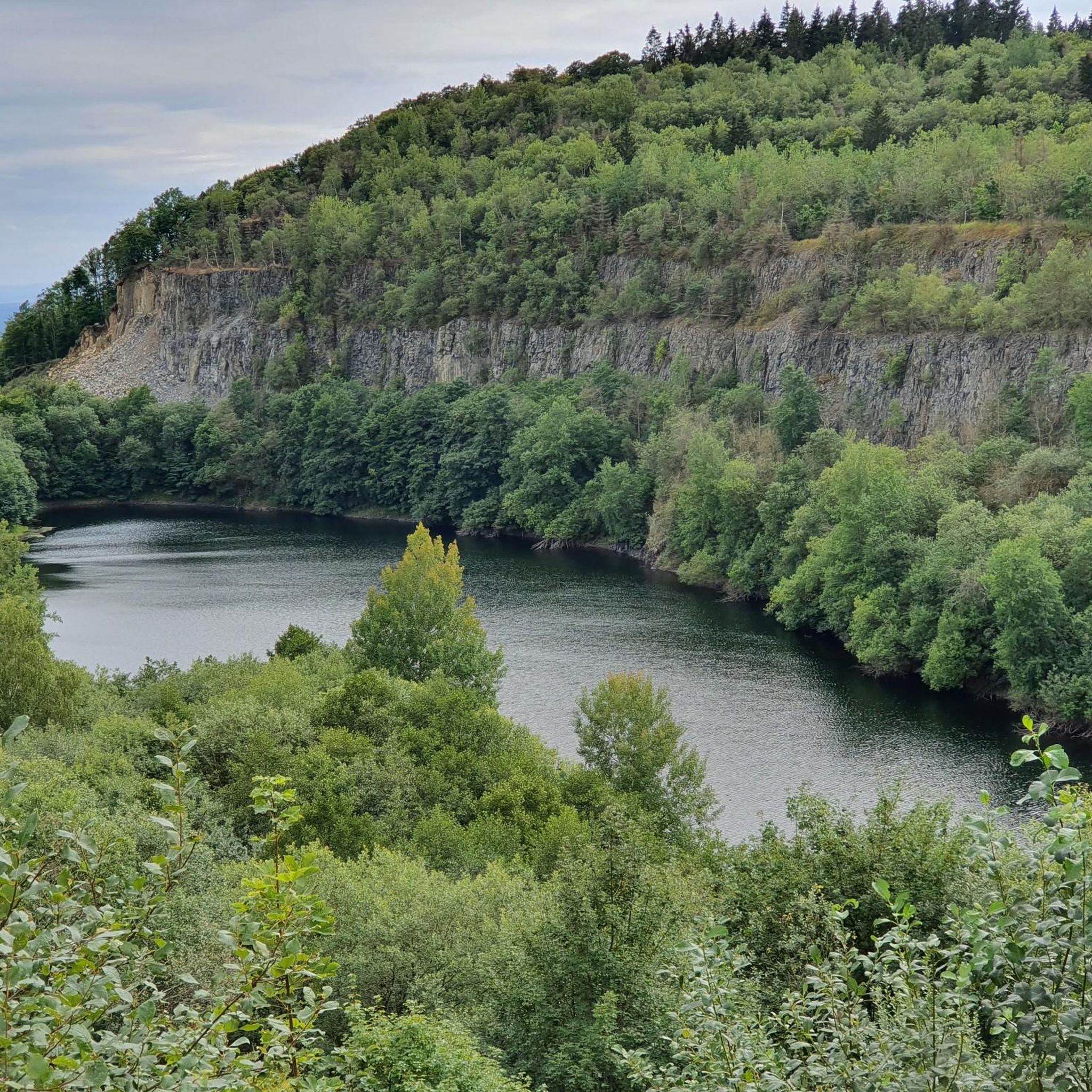
Meißner is rich in natural beauty and folklore. Along your rides, you can encounter unique geological sites like the Kitzkammer Basalt Cave and the Seesteine Natural Monument. The legendary Frau Holle Pond is another notable natural monument. The area also features the Lake Kalbe, formed in a former lignite mine.
Are there any scenic viewpoints accessible by road bike in Meißner?
Absolutely. The Hoher Meißner massif offers several breathtaking panoramic viewpoints. From Kalbe, a basalt crest, you can see the Werra Valley, the Harz Mountains, and even the Thuringian Forest. Schwalbenthal also provides attractive views. The route Frau Holle Trail Hoher Meißner – View from Schwalbenthal loop from Meißner specifically highlights views from the Hoher Meißner mountain.
What is the best time of year for road cycling in Meißner?
The best time for road cycling in Meißner is generally from spring through autumn, when the weather is mild and the landscapes are vibrant. From mid-June to mid-July, the area around Germerode is particularly beautiful with its blooming poppy fields, offering a unique scenic backdrop for your rides.
What do other road cyclists enjoy most about road cycling in Meißner?
The komoot community highly rates road cycling in Meißner, with an average score of 4.8 stars from over 250 reviews. Cyclists often praise the varied terrain, the scenic beauty of the Geo-Naturpark Frau-Holle-Land, and the rewarding climbs that offer stunning views.
Are there any circular road cycling routes in Meißner?
Yes, many of the road cycling routes in Meißner are designed as loops, allowing you to start and end at the same point. Examples include the Beerberg – Hollsteine Rock Formation loop from Harmuthsachsen and the View of Hoher Meißner – View of Meißner near Orferode loop from Kripplöcher und Hielöcher.
Is Meißner suitable for family-friendly road cycling?
While Meißner offers diverse road cycling, its characteristic hilly terrain means many routes involve significant elevation changes. For families with younger children or those seeking very flat, leisurely rides, the region's road cycling might be more challenging. However, there are easier routes available, and some former railway lines have been converted into cycle paths in the wider Geo-Naturpark Frau-Holle-Land, which might offer gentler options.
Where can I find parking for road cycling routes in Meißner?
Specific parking information for individual routes is often detailed on their respective komoot tour pages. Generally, you can find parking facilities in the towns and villages surrounding the Hoher Meißner massif, such as Meißner-Vockerode, Germerode, or near popular starting points for trails.
Are there cafes or places to stop for refreshments along the road cycling routes?
Yes, the Meißner region, being a popular outdoor destination, has various cafes, restaurants, and guesthouses in its charming towns and villages. Planning your route with komoot allows you to identify points of interest and amenities along the way where you can stop for refreshments or a meal.
Most popular routes in Meißner
Most popular attractions in Meißner

Get inspired with the komoot mobile app


Explore more
Browse the best Road cycling routes in other regions.
