The best MTB trails in Hardt
4.5
(2836)
8,070
riders
435
rides
Mountain biking in Hardt offers a diverse network of routes through a landscape characterized by rolling hills and dense forests. This region, nestled in the Westerwald district, provides varied terrain with challenging ascents and exhilarating descents. Riders can expect steep slopes and fast single trails, making it an ideal destination for outdoor enthusiasts seeking an active experience. The geographical setting provides an engaging environment for mountain biking adventures.
Best mountain bike trails in Hardt
- The most popular mountain bike trail…
Last updated: October 2, 2026
4.7
(30)
74
riders
47.5km
03:21
680m
680m
Moderate mountain bike ride. Good fitness required. Suitable for all skill levels.
4.7
(14)
36
riders
41.0km
03:10
540m
540m
Moderate mountain bike ride. Good fitness required. Advanced riding skills necessary.

5.0
(6)
32
riders
57.7km
04:21
870m
870m
Hard mountain bike ride. Good fitness required. Advanced riding skills necessary. Some portions of the route may require you to push your bike.
4.3
(11)
43
riders
43.3km
03:12
640m
640m
Hard mountain bike ride. Good fitness required. Advanced riding skills necessary. Some portions of the route may require you to push your bike.
4.4
(5)
34
riders
52.0km
03:04
380m
380m
Moderate mountain bike ride. Good fitness required. Suitable for all skill levels.
Get access to more routes and recommendations from other explorers.
Already have an account?
Our route recommendations are based on thousands of hikes, rides, and runs completed by other people on komoot.
Start today with a free account
Your next adventure awaits.
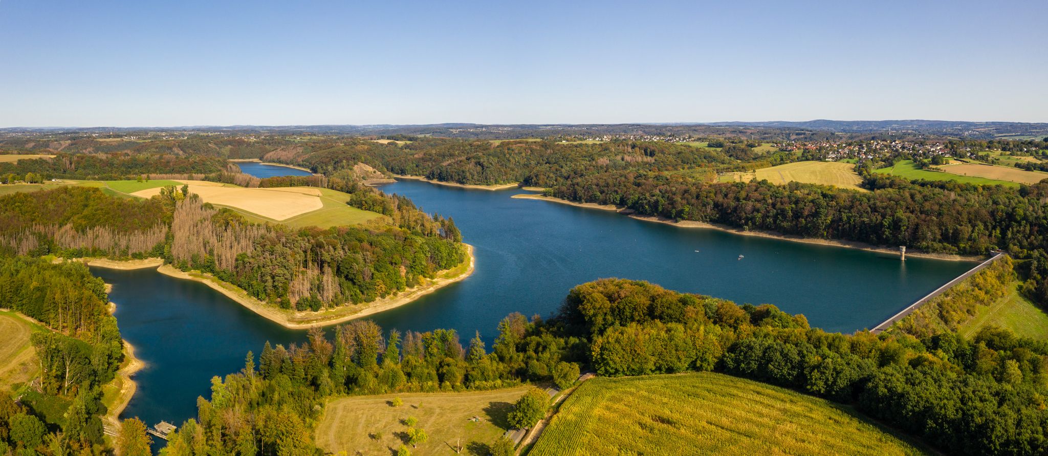
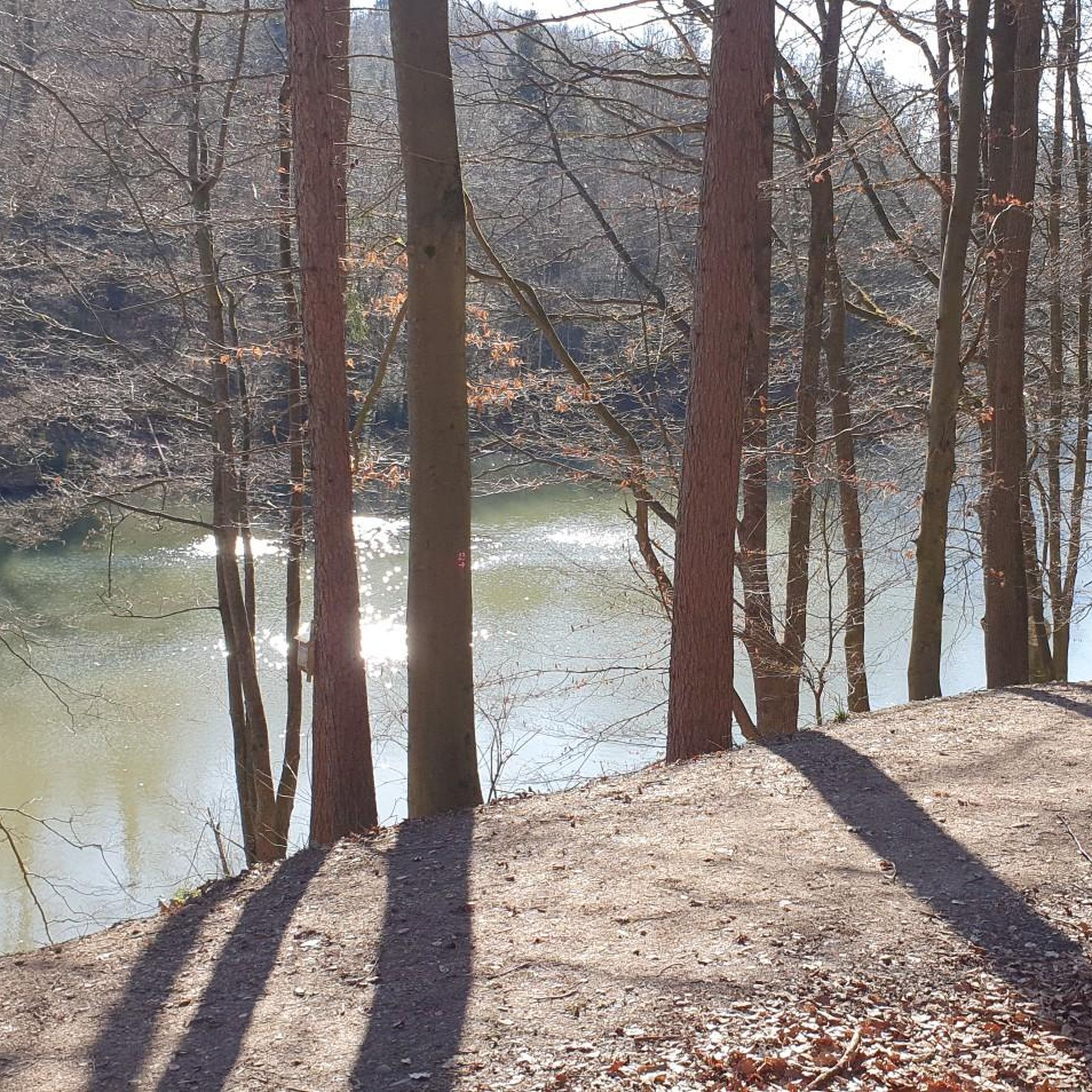
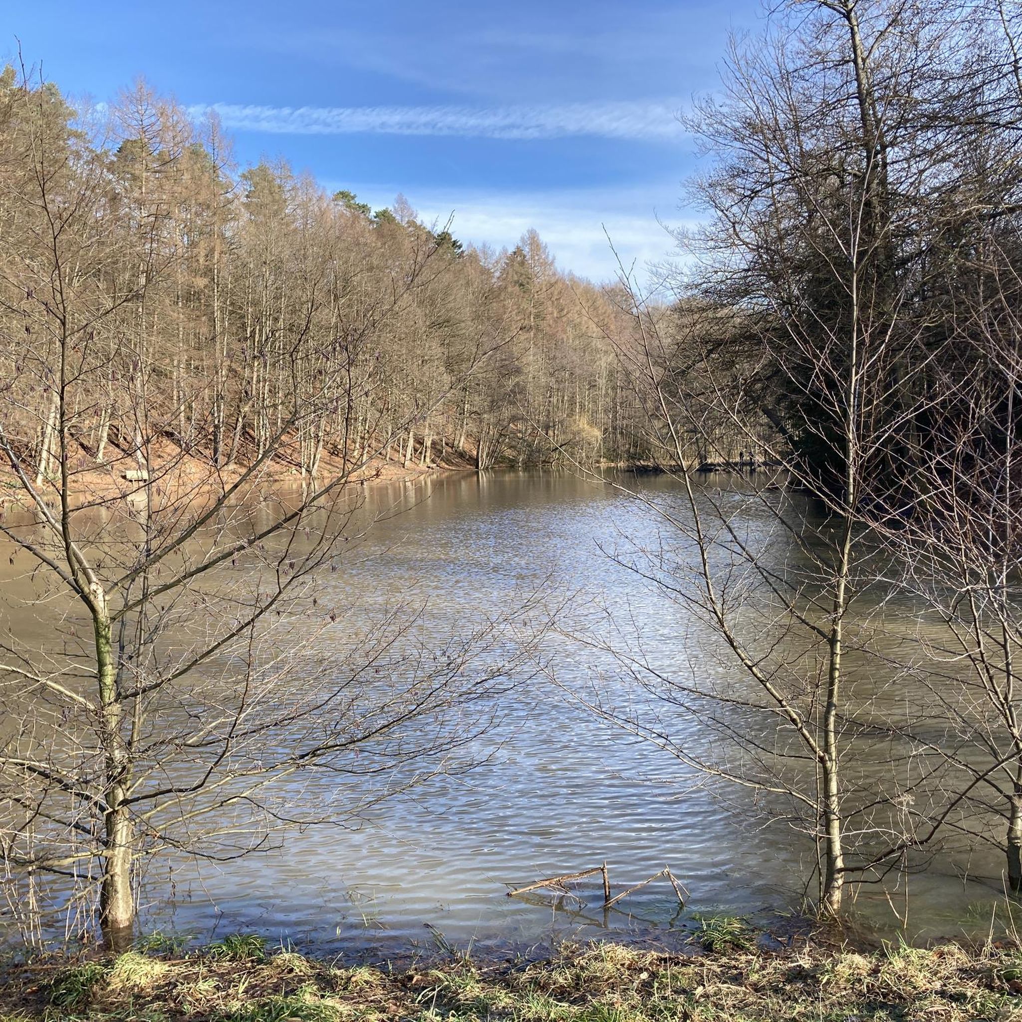
Other adventures in Hardt

Tips from the Community

Gastro at the castle 🤙
0
0

The Sülztalbahn cycle path in Lindlar is a family-friendly, 7 km long route that leads through the Bergisches Land on a former railway line. The route offers highlights such as the historic viaduct near Linde, information boards about railway history, and a parked steam locomotive at Linde station.
1
0

The Kupfersiefer Valley near Rösrath is a protected landscape area that perfectly showcases the diversity of the Bergisches Land region's valleys. Here, the stream meanders naturally for extended stretches, accompanied by damp meadows, old groves, and wooded slopes. The valley provides a habitat for numerous animal and plant species. As you walk through this approximately 65-hectare nature reserve, you can enjoy peace and quiet far removed from the hustle and bustle of everyday life.
2
0

The picture shows a bridge over the Eifgenbach. The stream only becomes the Dhünn about 500 meters further downstream. This is where the "marriage" of the Eifen and Dhünn rivers takes place, and from then on, the river is called the Dhünn.
0
0

The summit is located in a quiet, wooded area and is rather unspectacularly marked – but there is a bench for a short break, and the surroundings invite you to linger.
12
0
Frequently Asked Questions
What kind of mountain biking terrain can I expect in Hardt?
Hardt offers a diverse network of mountain bike trails characterized by rolling hills and dense forests. You can expect varied terrain with challenging ascents and exhilarating descents, including steep slopes and fast single trails, providing an engaging environment for all skill levels.
Are there mountain bike trails suitable for beginners in Hardt?
Yes, Hardt has a good selection of trails for beginners. Out of 434 available mountain bike routes, 151 are categorized as easy. An example of an easy route is the Königsforst Entrance – Sand trap on the Flehbach loop from Hardt, which is 12.7 miles (20.4 km) long.
Which mountain bike trails in Hardt offer challenging rides for experienced bikers?
For experienced mountain bikers seeking a challenge, Hardt offers several difficult routes. The region is known for its 'technical trail' with steep bends. A notable difficult route is the View from Tütberg – View of Lüderich loop from Hardt, a 36.0 miles (58.0 km) path that provides scenic vistas and requires advanced skills.
When is the best time of year for mountain biking in Hardt?
The best seasons for mountain biking in Hardt are generally spring and autumn. During these times, temperatures are pleasant, and the natural surroundings are vibrant, making for an enjoyable riding experience through the dense forests and rolling hills.
Are there circular mountain bike routes available in Hardt?
Yes, many of the mountain bike routes in Hardt are designed as loops, allowing you to start and finish at the same point. Examples include the Kettner's Pond – Moorland in Wahner Heide loop from Hardt and the Old Sülztalbahn Railway Bridge loop from Krebsbachtal.
What natural features can I see while mountain biking in Hardt?
While mountain biking in Hardt, you can explore a variety of natural features. Many trails lead through dense forests and past rolling hills. You might encounter natural highlights such as Cadets' Pond in the Milchborn Valley, the Milchbornbach Stream, and the Maiden's Pond. The region also features moorland areas, such as those found on the Kettner's Pond loop.
Are there any historical sites accessible by mountain bike in Hardt?
Yes, some mountain bike trails in Hardt combine natural exploration with historical sites. For instance, the 'trail to the old castle' leads directly to a historical landmark. You can also find the Historic Washing Place Kaltenbroich and the Bensberg Palace in the vicinity, which can be incorporated into your rides.
Which mountain bike trails offer scenic viewpoints in Hardt?
Hardt is known for its scenic views, particularly from elevated points. The 'Panorama Trail' is specifically described as offering spectacular viewpoints. The View from Tütberg – View of Lüderich loop from Hardt is another excellent choice, providing expansive vistas across the landscape.
Is there parking available near the mountain bike trails in Hardt?
Yes, many mountain bike trails in Hardt often start directly from the center of the village, implying accessible parking options. Specific parking areas are typically available at trailheads or within the village for convenient access to the routes.
Are there family-friendly mountain bike trails in Hardt?
Hardt offers a range of trails, including easier options that can be suitable for families. With 151 easy routes available, you can find paths that are less demanding in terms of elevation and technical skill, allowing for an enjoyable family outing. Always check the specific trail details for suitability.
What do other mountain bikers enjoy the most about mountain biking in Hardt?
The mountain biking experience in Hardt is highly rated by the komoot community, with an average score of 4.5 stars from over 2,400 reviews. Riders often praise the diverse network of routes, the picturesque landscape of rolling hills and dense forests, and the variety of terrain that caters to different skill levels, from challenging single trails to more relaxed paths.
Most popular routes in Hardt
Most popular attractions in Hardt

Get inspired with the komoot mobile app


Explore more
Browse the best MTB trails in other regions.
