The best cycling routes in Rothaarkamm Am Grenzweg
4.5
(7559)
36,253
riders
815
rides
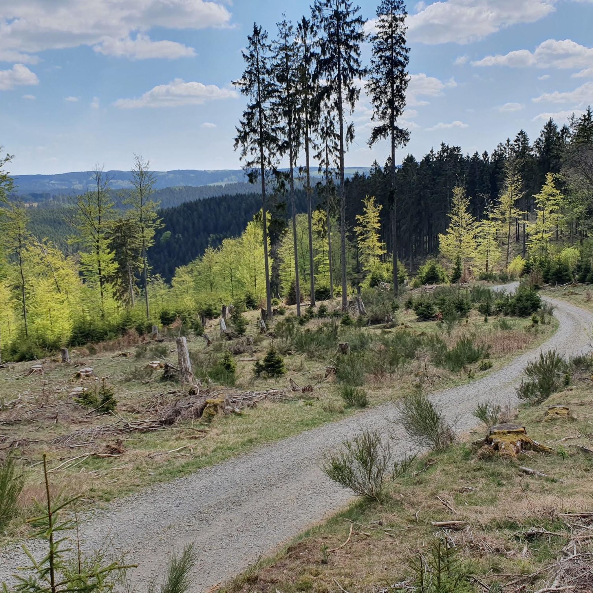
Touring cycling in Rothaarkamm Am Grenzweg features a hilly forest landscape within a low mountain range, characterized by dense woodlands and green valleys. The region offers varied terrain suitable for different fitness levels, with routes traversing picturesque natural settings. This area provides an extensive network of cycling paths, including road cycling options with mostly well-paved surfaces. The diverse landscape includes notable features such as the Rothaarsteig and varied elevation profiles.
Best touring cycling routes in Rothaarkamm Am Grenzweg
- The most…
Last updated: October 8, 2026
4.7
(25)
118
riders
35.3km
03:04
580m
580m
Hard bike ride. Very good fitness required. Mostly paved surfaces. Suitable for all skill levels.
5.0
(17)
62
riders
30.6km
02:28
430m
430m
Moderate bike ride. Good fitness required. Mostly paved surfaces. Suitable for all skill levels.

4.7
(3)
30
riders
22.2km
02:12
300m
300m
Moderate bike ride. Good fitness required. Mostly paved surfaces. Suitable for all skill levels.
4.3
(4)
24
riders
20.1km
01:56
260m
260m
Moderate bike ride. Good fitness required. Mostly paved surfaces. Suitable for all skill levels.
3.0
(1)
17
riders
13.2km
01:14
160m
160m
Moderate bike ride. Good fitness required. Mostly paved surfaces. Suitable for all skill levels.
Get access to more routes and recommendations from other explorers.
Already have an account?
Our route recommendations are based on thousands of hikes, rides, and runs completed by other people on komoot.
Start today with a free account
Your next adventure awaits.
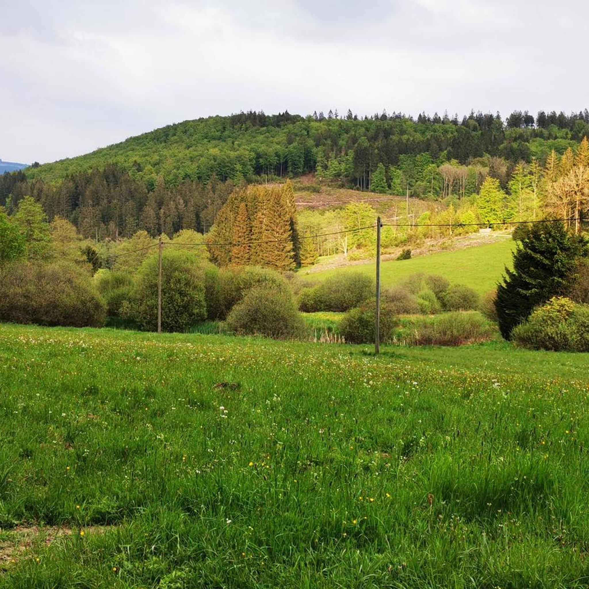
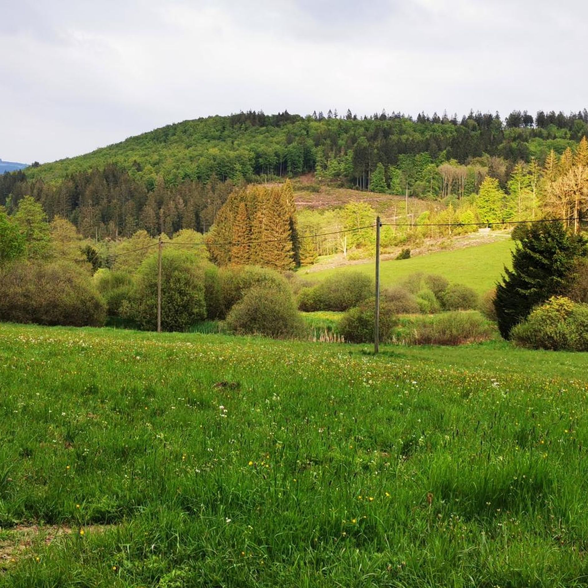
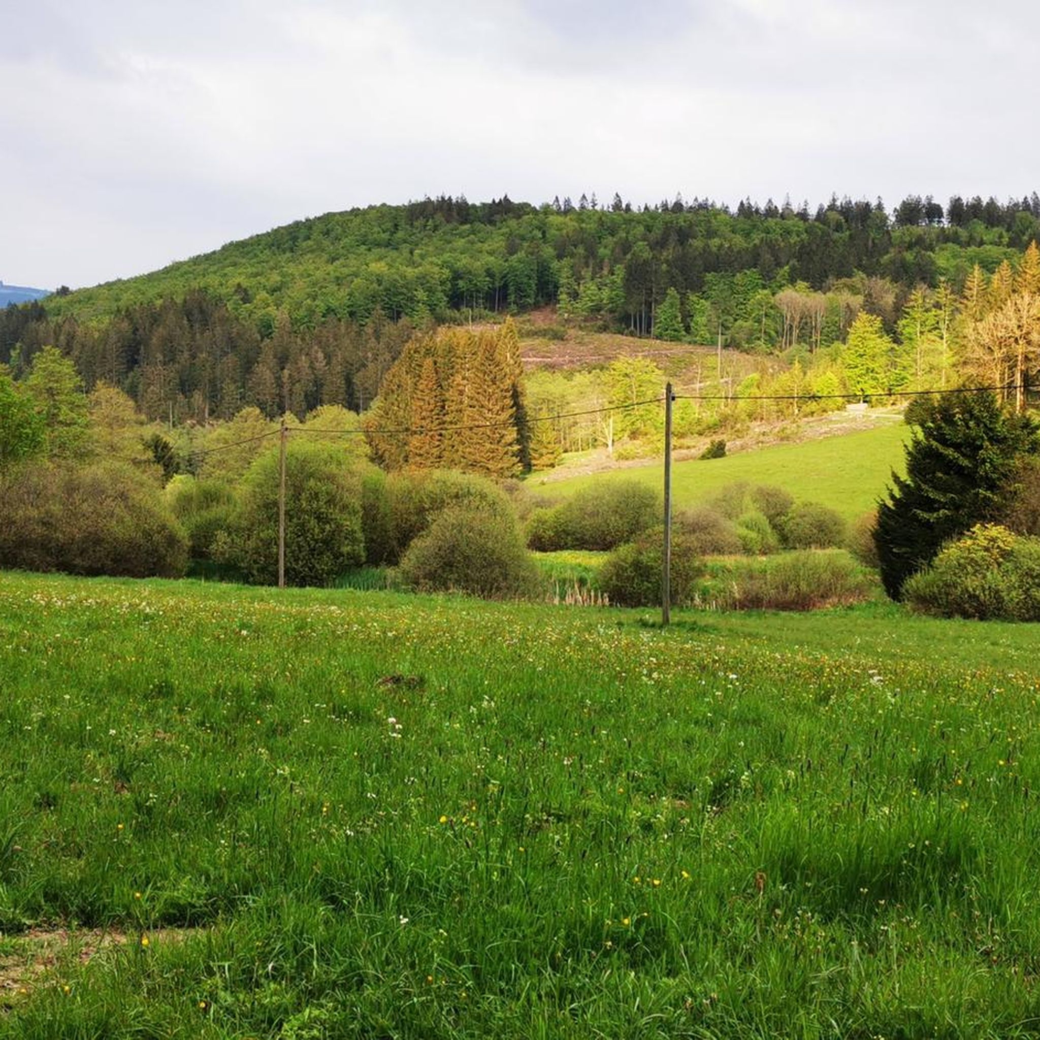
Tips from the Community

The enclosure is worth a detour, but you should plan for about 3 km. The trail in the terrain is interesting, and there are many viewpoints and resting spots where you can relax well.
0
0

For hikers and bikers, you automatically pass the Großer Kopf when you are on the Grenzweg here
0
0
Beautifully located resting place, right on the Eder
0
0

Top resting place on the Eder, directly at the Fischerbrücke.
0
0
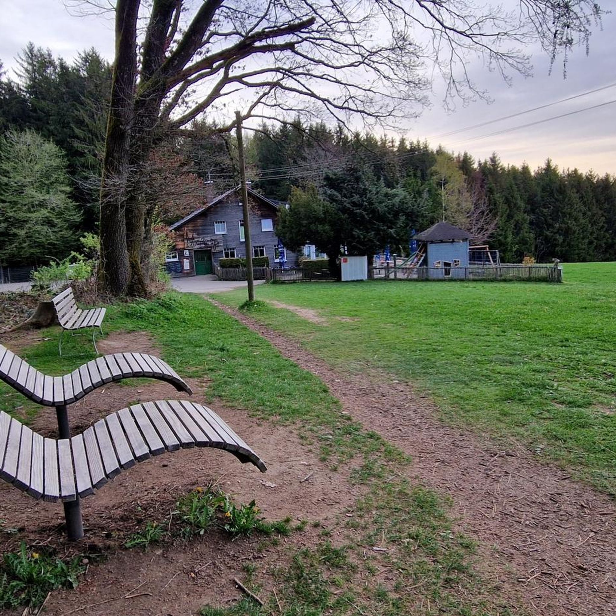
Two (lying) benches, with a view into the Wittgensteiner Land
0
0
There is a parking lot, a resting place and beautiful paths
0
0

Grenzweg, from Sauerland and Wittgenstein. In history, the path repeatedly separated... state borders, religious borders, church district borders, etc.
0
0

A beautiful place with many lovely shops and great restaurants. It's worth a visit.
2
0
Frequently Asked Questions
How many touring cycling routes are available in Rothaarkamm Am Grenzweg?
There are over 840 touring cycling routes in Rothaarkamm Am Grenzweg, offering a wide variety of options for different skill levels and preferences. This includes 115 easy, 395 moderate, and 333 difficult routes.
What is the best time of year to go touring cycling in Rothaarkamm Am Grenzweg?
The Rothaarkamm Am Grenzweg region, with its hilly forest landscape, is generally best for touring cycling from spring through autumn. During these seasons, the weather is typically mild, and the trails are clear of snow and ice, offering optimal conditions to enjoy the dense woodlands and green valleys. Winter cycling can be challenging due to snow and potentially muddy conditions.
Are there any circular touring cycling routes in Rothaarkamm Am Grenzweg?
Yes, many routes in Rothaarkamm Am Grenzweg are designed as loops. For example, the Margaretenstein (685 m) – Rhein-Weser Tower loop from Jagdhaus is a moderate 19.0-mile (30.6 km) circular path that offers varied terrain and scenic views. Another option is the View of the Sauerland Valley – Milionenbank Shelter loop from Jagdhaus, a 13.9-mile (22.4 km) trail through forested areas.
What kind of natural features and landmarks can I expect to see along the touring cycling routes?
The region is rich in natural beauty and unique landmarks. You can encounter the impressive Sculpture "Stone Time Man" on the Forest Sculpture Trail, or the symbolic Bison Sculpture at Wisentpfad, hinting at the nearby Wisent-Wilderness. Notable natural points include the Margaretenstein (685 m) and the Somborn Spring. The routes often provide views of the hilly forest landscape and the Rothaarsteig, a renowned long-distance hiking trail.
Are there family-friendly touring cycling routes in Rothaarkamm Am Grenzweg?
While many routes in Rothaarkamm Am Grenzweg feature significant elevation changes, there are options suitable for families. The region offers a network of cycling paths with varied terrain. Look for routes categorized as 'easy' or 'moderate' on komoot, which typically have less demanding climbs and shorter distances, making them more suitable for family outings.
Can I bring my dog on touring cycling routes in Rothaarkamm Am Grenzweg?
Many natural areas in Rothaarkamm Am Grenzweg, including the Rothaargebirge Nature Park, are generally dog-friendly. However, it's always recommended to keep dogs on a leash, especially in forested areas, to protect wildlife and ensure the safety of other visitors. Specific rules may apply in certain nature reserves or protected zones, so always check local signage.
Where can I find parking at the trailheads for touring cycling routes?
Parking is generally available near popular starting points for touring cycling routes in Rothaarkamm Am Grenzweg. Many routes, such as those starting from Waldreservat Schanze or Jagdhaus, have designated parking areas. It's advisable to check the specific route details on komoot for information on parking facilities at the trailhead you plan to use.
Are there cafes or places to eat along the touring cycling routes?
Yes, you can find places to stop for refreshments. The Wisent Hut, for instance, is located at the entrance to the "Wisent-Wilderness am Rothaarsteig" and offers regional cuisine, making it a great spot for a break. Many villages and towns near the routes also provide cafes, pubs, and restaurants where cyclists can refuel.
What do other touring cyclists say about their experience in Rothaarkamm Am Grenzweg?
The touring cycling routes in Rothaarkamm Am Grenzweg are highly rated by the komoot community, with an average score of 4.6 stars from over 6,400 reviews. Cyclists often praise the diverse landscapes, the well-maintained paths, and the immersive experience of riding through the dense woodlands and green valleys of this low mountain range.
Are there any particularly challenging touring cycling routes for experienced riders?
Yes, Rothaarkamm Am Grenzweg offers several challenging routes with significant elevation gains. For experienced riders, the Höhleyer Hut – Kahler Asten loop from Waldreservat Schanze is a difficult 22.0-mile (35.4 km) trail with substantial climbing, passing by the notable Kahler Asten. Another difficult option is the Forsthaus Homrighausen – View of Girkhausen loop from Girkhausen, which covers 28.0 miles (45.1 km) with considerable elevation changes.
Can I access the touring cycling routes using public transport?
Public transport options to access the Rothaarkamm Am Grenzweg region exist, though direct access to specific trailheads might require some planning. Regional buses serve various towns and villages within the Rothaargebirge Nature Park. It's recommended to check local public transport schedules and policies regarding bicycle transport before planning your trip.
What kind of terrain can I expect on the touring cycling routes?
The terrain in Rothaarkamm Am Grenzweg is characterized by a hilly forest landscape, typical of a low mountain range. You'll encounter dense woodlands, green valleys, and varied elevation profiles. Many road cycling routes feature mostly well-paved surfaces, but some paths may include gravel or natural forest tracks, offering a diverse riding experience.
Most popular routes in Rothaarkamm Am Grenzweg
Most popular attractions in Rothaarkamm Am Grenzweg

Get inspired with the komoot mobile app


Explore more
Browse the best Cycling routes in other regions.
