The best walks and hikes in Nsg Rothaarkamm Und Wiesentäler
4.6
(9425)
32,909
hikers
21
hikes
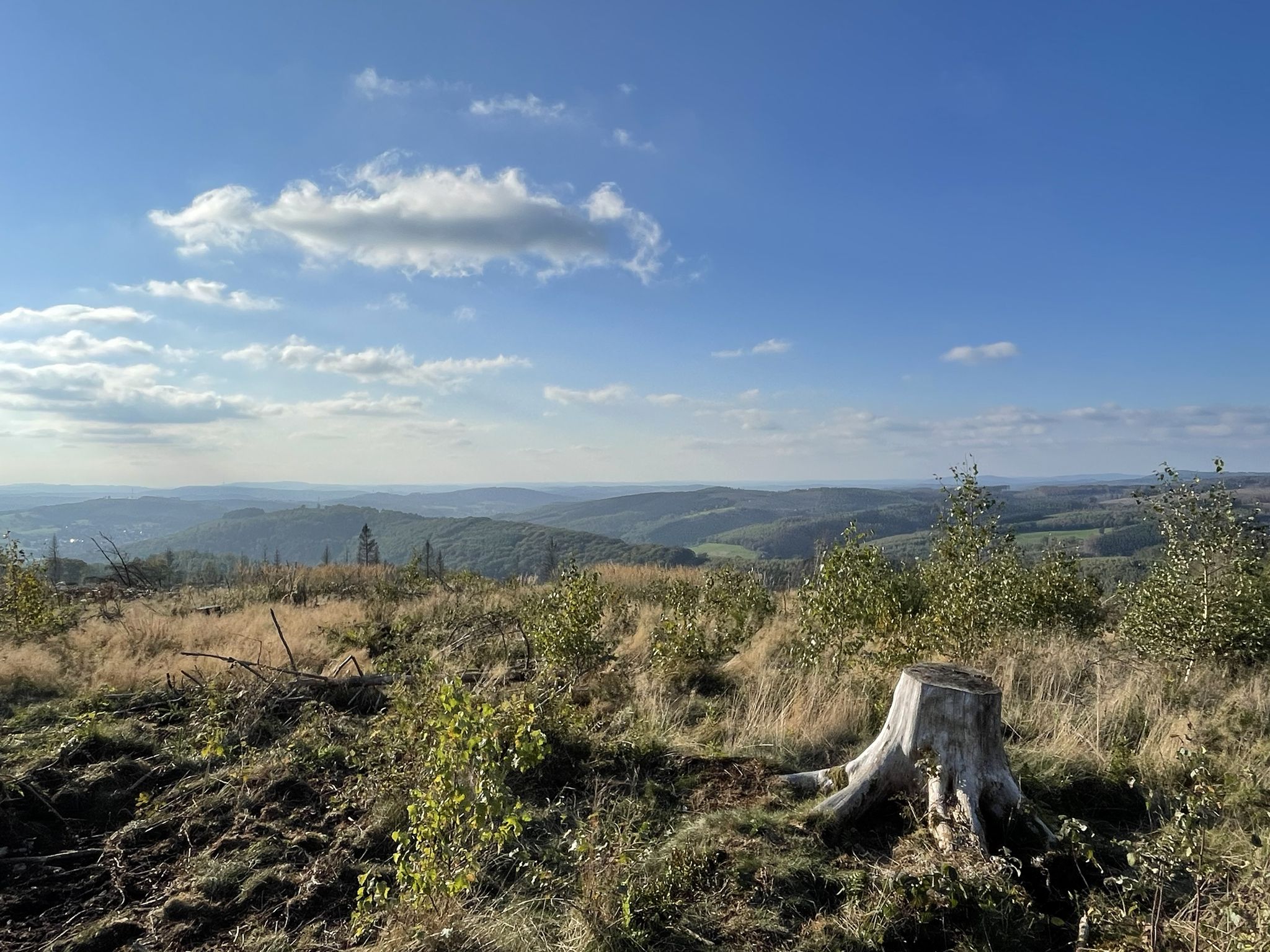
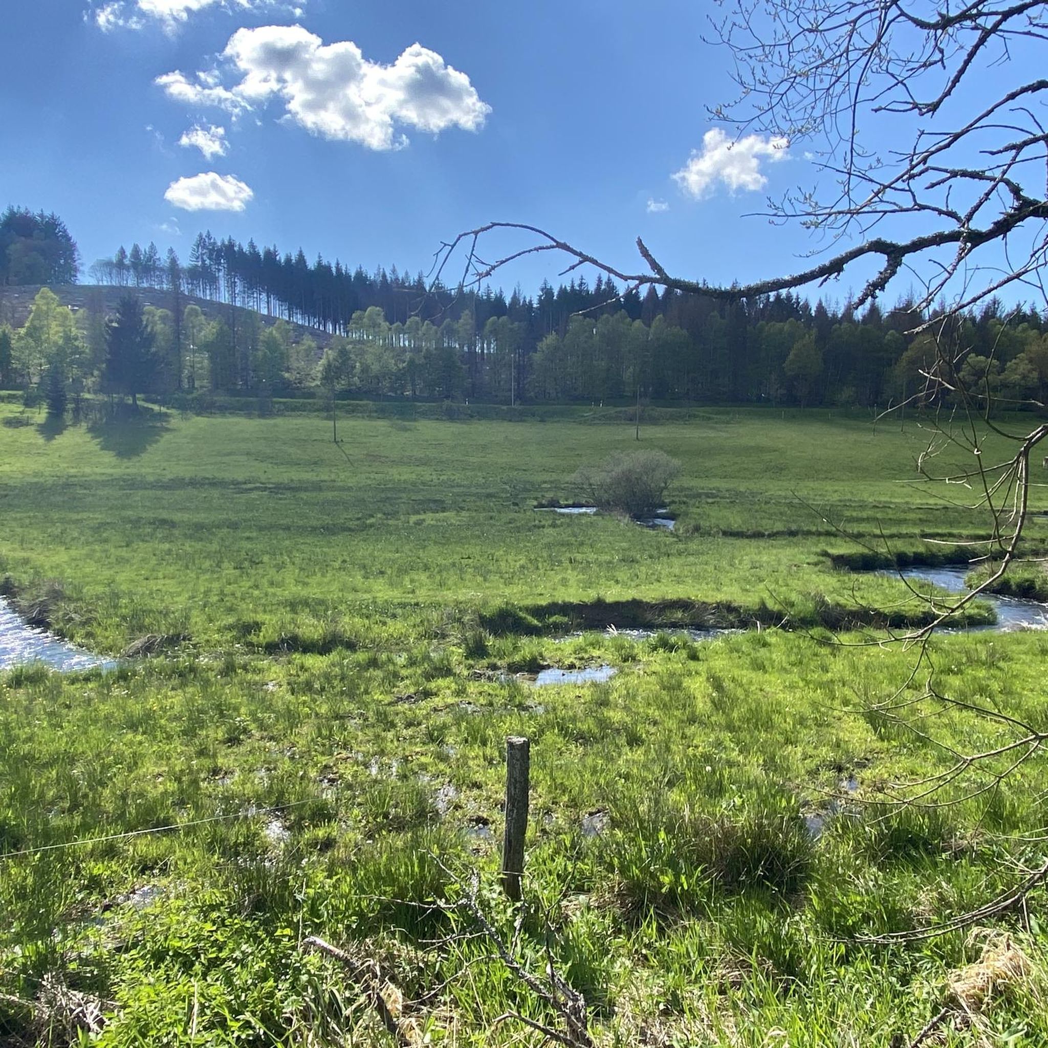
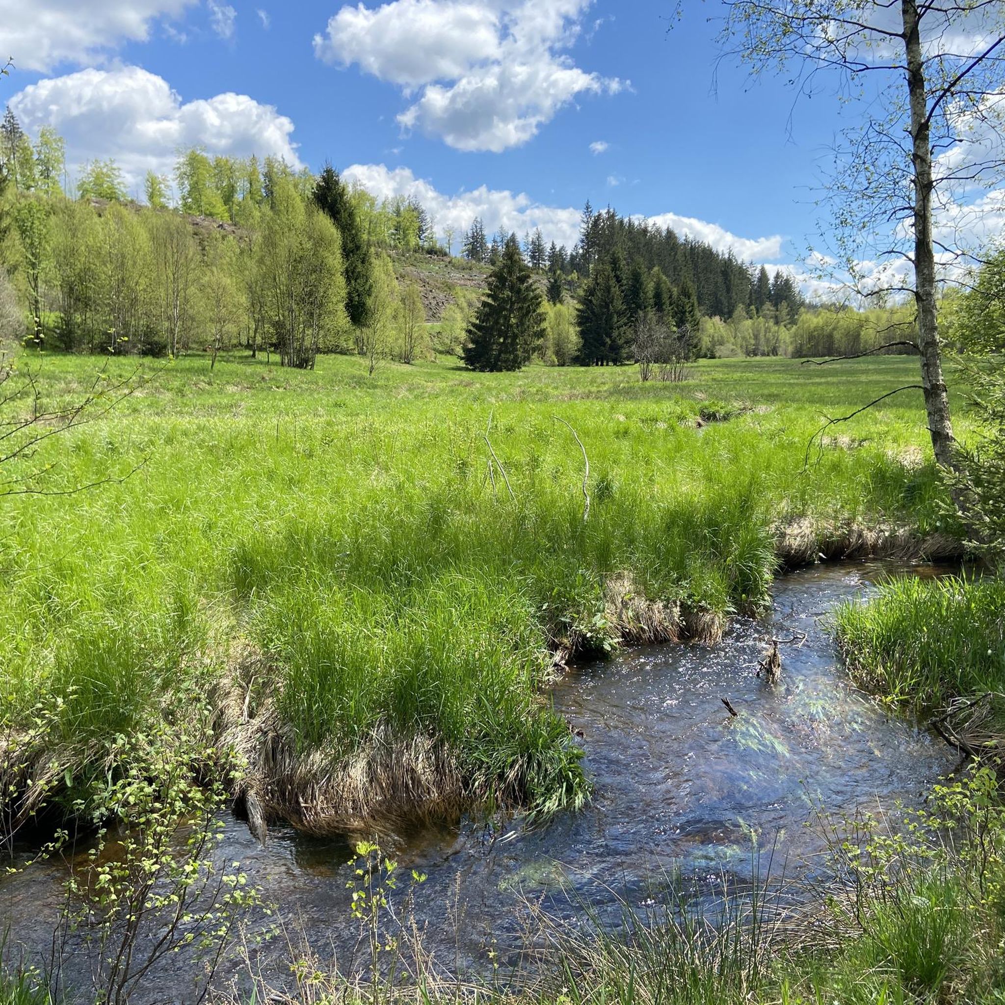
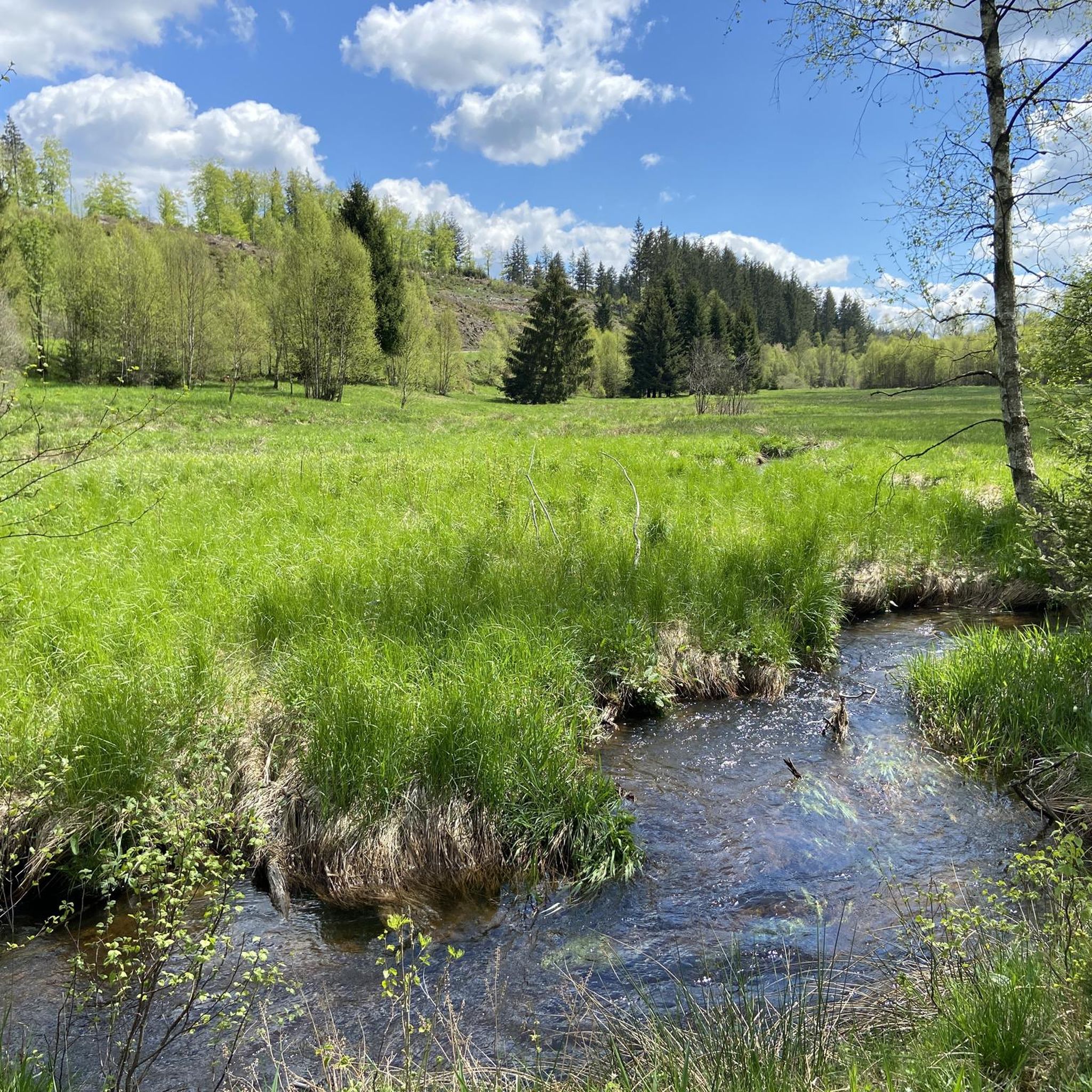
Hiking in Nsg Rothaarkamm Und Wiesentäler offers diverse landscapes within the Sauerland Rothaargebirge Nature Park. The region features extensive spruce and deciduous forests, green valleys, and elevated routes through the Rothaar Mountains. Hikers can explore varied topography, including river valleys, moorlands, and hills, providing a range of natural features. This area is characterized by its well-developed network of trails across different terrains.
Best hiking trails in Nsg Rothaarkamm Und Wiesentäler
- The most popular hiking route is Drei Fichten Quarry –…
Last updated: July 5, 2026
4.8
(29)
79
hikers
Easy hike. Great for any fitness level. Easily-accessible paths. Suitable for all skill levels.
5.0
(7)
25
hikers
12.0km
03:15
170m
170m
Moderate hike. Good fitness required. Easily-accessible paths. Suitable for all skill levels.

Sign up for free
4.6
(10)
42
hikers
Moderate hike. Good fitness required. Easily-accessible paths. Suitable for all skill levels.
4.6
(13)
27
hikers
9.22km
02:30
130m
130m
Moderate hike. Good fitness required. Easily-accessible paths. Suitable for all skill levels.
4.3
(3)
22
hikers
Moderate hike. Good fitness required. Easily-accessible paths. Suitable for all skill levels.
Get access to more routes and recommendations from other explorers.
Sign up for free
Already have an account?
Our route recommendations are based on thousands of hikes, rides, and runs completed by other people on komoot.
Start today with a free account
Your next adventure awaits.
Login or Signup
Popular around Nsg Rothaarkamm Und Wiesentäler
Other adventures in Nsg Rothaarkamm Und Wiesentäler

Tips from the Community

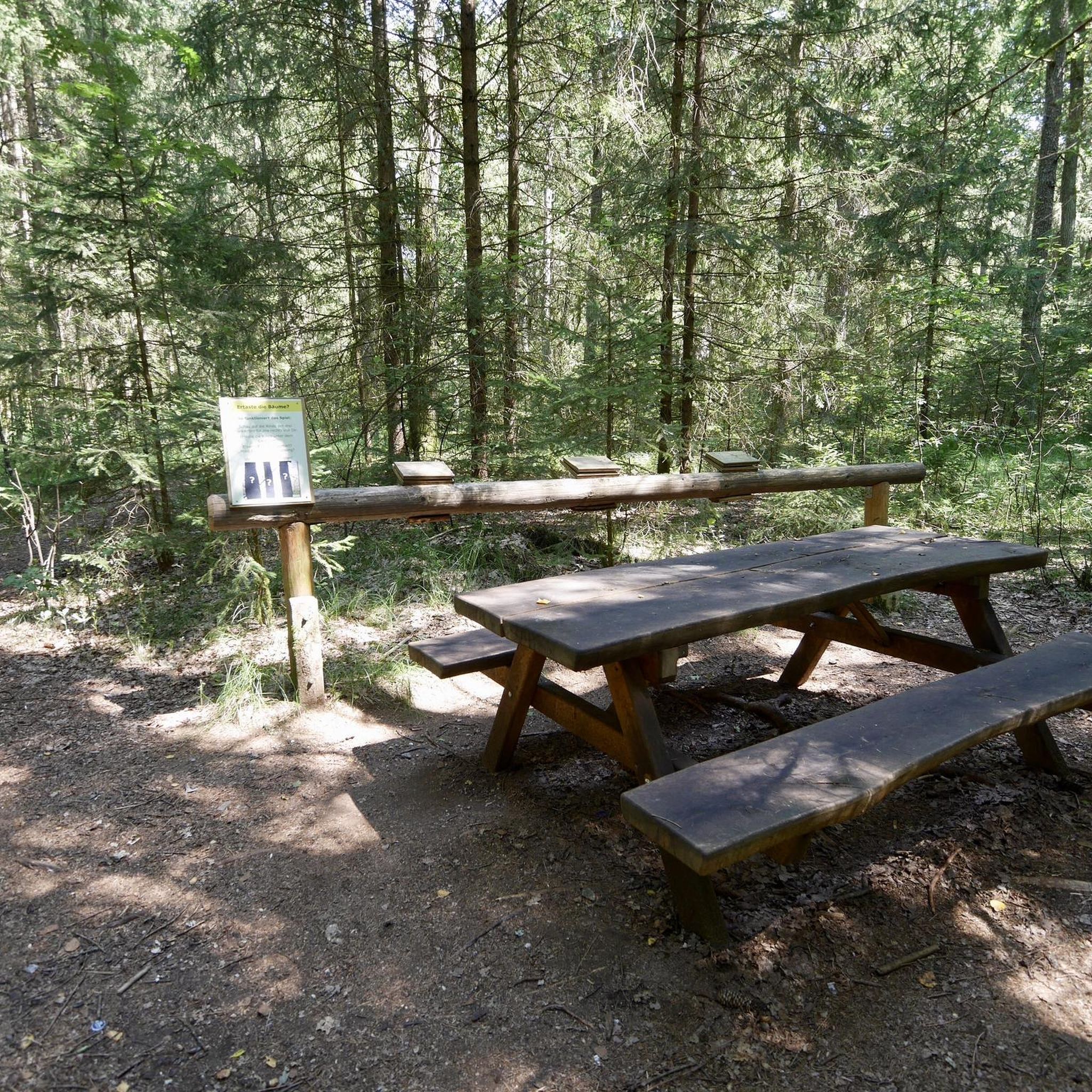
Top forest playground in the Ginsburger Heide.
0
0
Top resting place in the source area of the Eder with a top view of the original stream of the Eder.
0
0
Here you can still find a stream not altered by human hands.
0
0
One of the many ponds here in the Ederquellgebiet.
0
0
Top water accumulations from the Eder spring area.
1
0
Huts with a view of the ski slope and the newly opened Liftschänke.
0
0
Top large area at the Giller for the most varied festivities.
0
0

Always beautiful. A long way to the source of the Eder. It is slightly hidden.
0
0
Frequently Asked Questions
What types of landscapes can I expect to see while hiking in Nsg Rothaarkamm Und Wiesentäler?
The region offers a diverse range of landscapes, from extensive spruce and deciduous forests to green valleys, floodplain areas, and even unique moorlands like those found in the Neuer Hagen natural reserve. You'll also encounter the elevated routes of the Rothaar Mountains, providing varied scenery throughout your hike.
Are there hiking trails suitable for families with children?
Yes, Nsg Rothaarkamm Und Wiesentäler has several easy trails perfect for families. For example, the Drei Fichten Quarry – View of Lützel Settlement loop is an easy 4.0-mile (6.4 km) route that takes about 1 hour 43 minutes to complete, passing by the notable Drei Fichten Quarry. The region also features adventure stations along trails like the Rothaarsteig, designed to engage younger hikers.
Can I bring my dog on the hiking trails in Nsg Rothaarkamm Und Wiesentäler?
Most hiking trails in Nsg Rothaarkamm Und Wiesentäler are dog-friendly, allowing you to explore the diverse landscapes with your canine companion. However, it's always recommended to keep dogs on a leash, especially in nature reserves or areas with wildlife, and to respect local signage regarding pet regulations.
What are some notable natural features or landmarks to look out for?
You'll find several impressive natural features. The Drei Fichten Quarry is a natural monument and a great rest area. The Upper Eder Valley offers beautiful river landscapes, and you can even find the Spring on the Mäanderweg, known for its cool, fresh water. The Bruchhauser Steine near Olsberg, ancient volcanic rock formations, are also a significant natural monument in the wider region.
Are there any long-distance hiking opportunities in the area?
Absolutely. The Nsg Rothaarkamm Und Wiesentäler is part of the Sauerland Rothaargebirge Nature Park, which is home to the renowned Rothaarsteig, also known as the 'Trail of the Senses'. This 154-kilometer long-distance trail offers a multi-sensory experience and can be hiked in various stages. Another prominent trail is the Sauerland-Höhenflug, which provides access to the highest peaks and scenic views.
What is the best time of year to go hiking in Nsg Rothaarkamm Und Wiesentäler?
The region is beautiful year-round, but spring and autumn offer particularly pleasant hiking conditions with mild temperatures and vibrant colors. Summer is also popular, especially for shaded forest trails. Winter hiking is possible, but some higher elevation routes might require appropriate gear due to snow and ice.
How many hiking trails are available in Nsg Rothaarkamm Und Wiesentäler?
There are over 20 hiking routes available in Nsg Rothaarkamm Und Wiesentäler, catering to various difficulty levels. This includes 8 easy trails and 13 moderate trails, ensuring options for both casual walkers and more experienced hikers.
Are there any circular hiking routes in the area?
Yes, many routes in Nsg Rothaarkamm Und Wiesentäler are designed as circular trails. For instance, the Seebachtal Pond – Narrow Trails at Ederkopf loop is a moderate 7.4-mile (12.0 km) path that takes you through river valleys. Another option is the Pustebach Hut – Hundsdrellerbach Stream loop, a 6.0-mile (9.7 km) trail through forests and along streams.
What do other hikers say about the trails in Nsg Rothaarkamm Und Wiesentäler?
The trails in Nsg Rothaarkamm Und Wiesentäler are highly rated by the komoot community, with an average score of 4.6 stars from over 2700 reviews. Hikers often praise the region's diverse terrain, well-maintained paths, and the peaceful atmosphere of its forests and valleys.
Are there any unique wildlife viewing opportunities?
Yes, the Wittgenstein forests, which are part of the broader region, are home to the only free-ranging herd of European bison (Wisents) in Central Europe. While sightings in the wild are rare, you can observe these impressive animals up close in a dedicated 20-hectare fenced enclosure at Wisent-Welt-Wittgenstein, which also features a three-kilometer 'bison trail'.
Are there any trails that offer insights into the region's history or natural events?
Yes, the Kyrillpfad (Kyrill Path) is a unique, approximately one-kilometer-long trail that allows hikers to experience the aftermath of storm Kyrill in 2007. Boardwalks and stepladders lead past uprooted and fallen trees, illustrating nature's raw power. Additionally, the Wald SkulpturenWeg Wittgenstein-Sauerland, which the Rothaarsteig crosses, features eleven sculptures illustrating the historical relationship between the Protestant Wittgenstein and Catholic Sauerland.
What are the highest points I can reach on a hike?
Within the Sauerland Rothaargebirge Nature Park, you can ascend some of North Rhine-Westphalia's highest mountains. These include the 843-meter-high Kahler Asten and the Langenberg, which is slightly taller. These peaks offer stunning panoramic views over the surrounding low mountain ranges.
Most popular routes in Nsg Rothaarkamm Und Wiesentäler
Most popular attractions in Nsg Rothaarkamm Und Wiesentäler

Get inspired with the komoot mobile app


Explore more
Browse the best Hikes in other regions.
