Rurtal Mit Den Felsbildungen Der Uhusley
Rurtal Mit Den Felsbildungen Der Uhusley
The best mountain hikes in Rurtal Mit Den Felsbildungen Der Uhusley
4.1
(6)
20
hikers
6
hikes
Mountaineering routes in Rurtal Mit Den Felsbildungen Der Uhusley are characterized by dramatic vertical cliff formations and steep, rock-strewn slopes rising from the Rur Riverbed. The region, designated a Flora-Fauna habitat, features the prominent Uhusley Rock Formations. Trails often traverse diverse forests of oak, beech, and pine, offering varied terrain for mountaineers. The Rur Valley itself contributes to the rugged landscape, with narrow sections and significant elevation changes.
Best mountaineering routes in Rurtal Mit Den Felsbildungen Der Uhusley
- The most…
Last updated: August 11, 2026
1
hikers
Moderate mountaineering route. Good fitness required. Easily-accessible paths. Suitable for all skill levels.
4.0
(1)
3
hikers
15.7km
04:31
370m
370m
Moderate mountaineering route. Good fitness required. Easily-accessible paths. Suitable for all skill levels.

Sign up for free
5.0
(2)
10
hikers
Hard mountaineering route. Very good fitness required. Easily-accessible paths. Suitable for all skill levels.
1
hikers
Moderate mountaineering route. Good fitness required. Easily-accessible paths. Suitable for all skill levels.
3.0
(1)
2
hikers
4.16km
01:13
110m
110m
Easy mountaineering route. Great for any fitness level. Easily-accessible paths. Suitable for all skill levels.
Our route recommendations are based on thousands of hikes, rides, and runs completed by other people on komoot.
Start today with a free account
Your next adventure awaits.
Login or Signup
Popular around Rurtal Mit Den Felsbildungen Der Uhusley
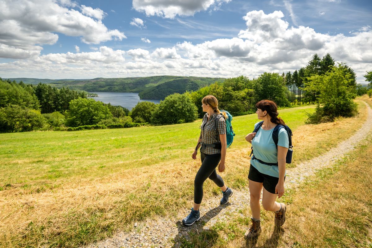
Shaped by rock and water – hikes in the Rureifel region
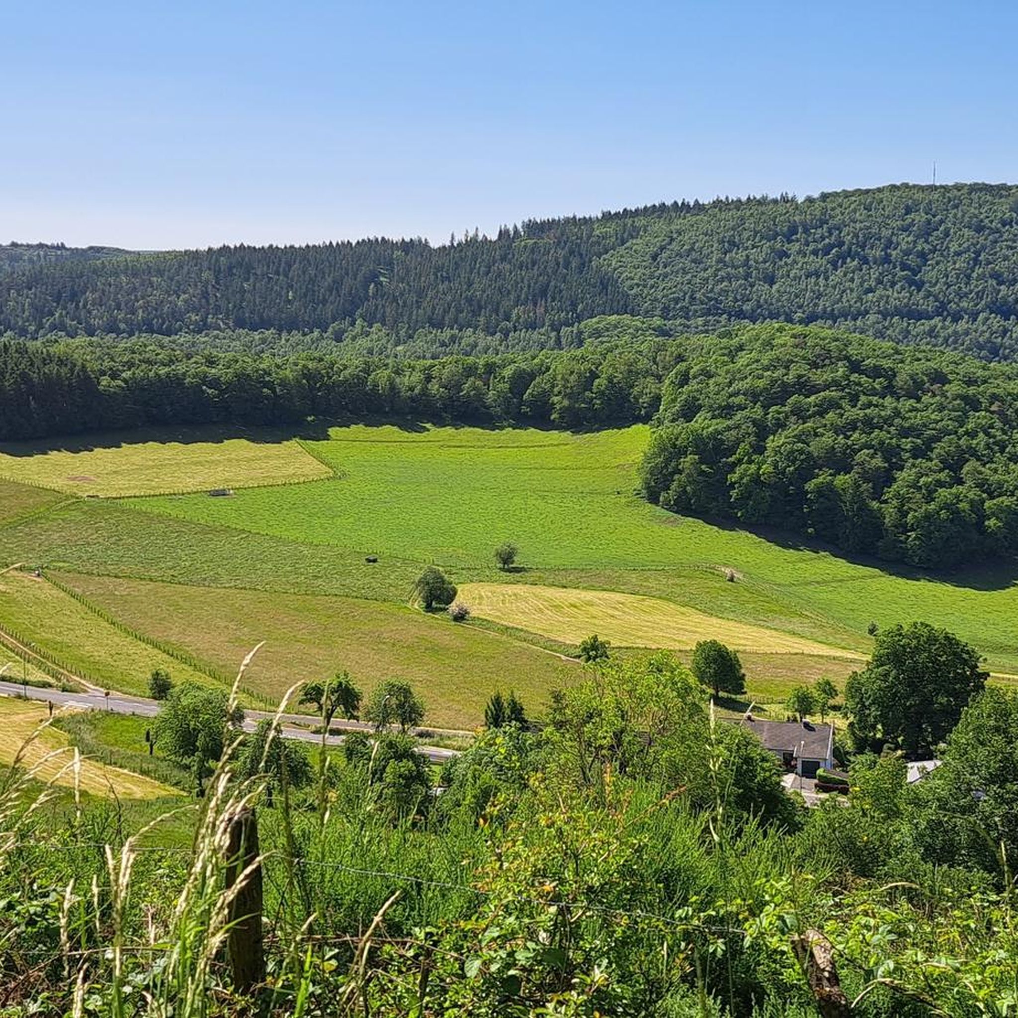
Hiking in Rurtal Mit Den Felsbildungen Der Uhusley
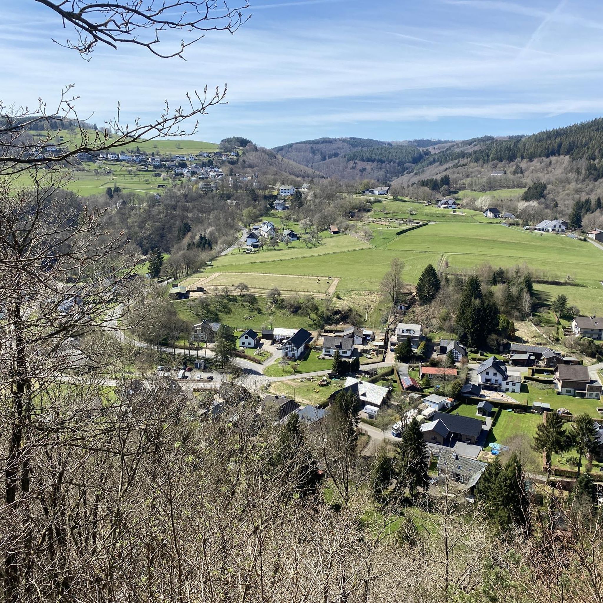
Cycling in Rurtal Mit Den Felsbildungen Der Uhusley
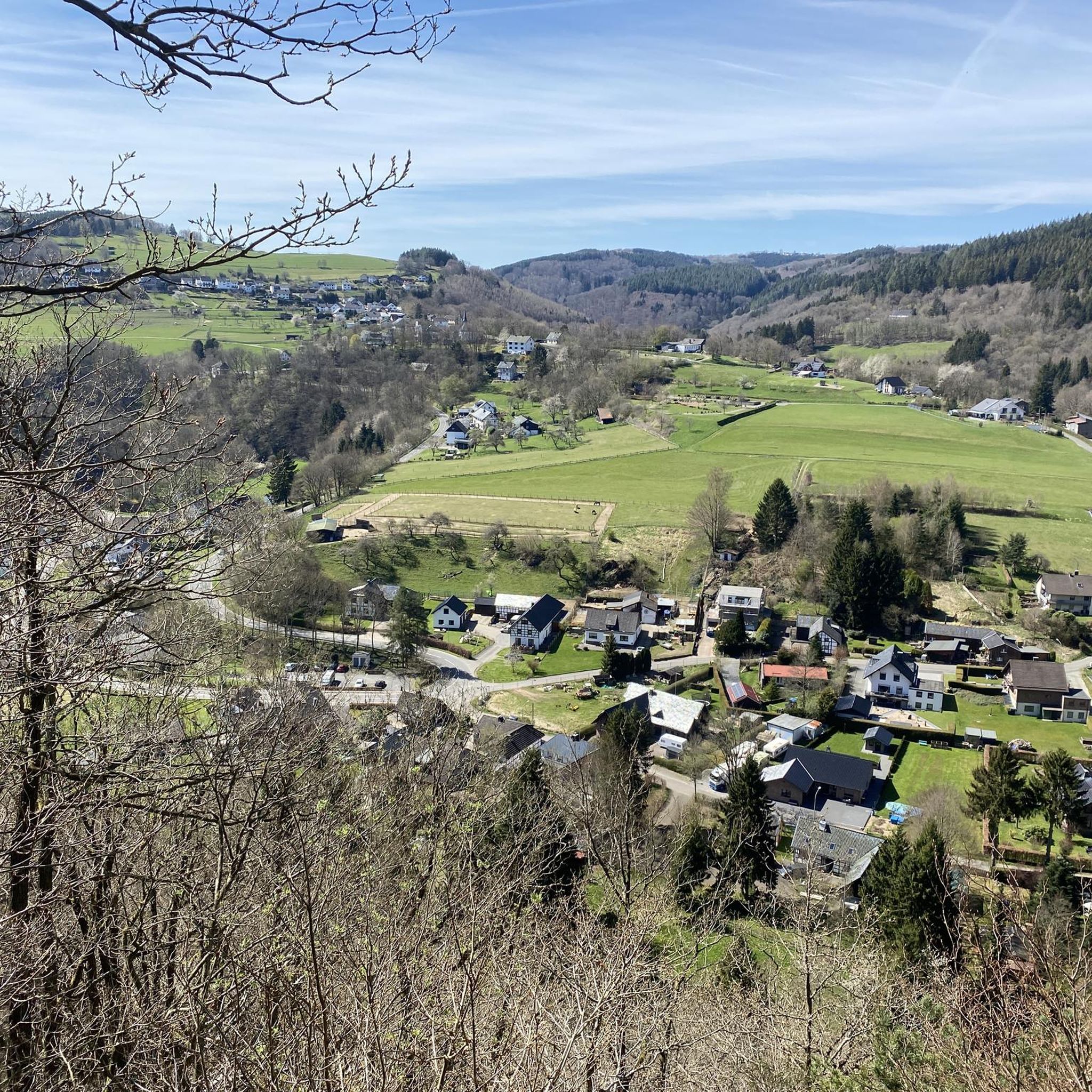
Running Trails in Rurtal Mit Den Felsbildungen Der Uhusley
MTB Trails in Rurtal Mit Den Felsbildungen Der Uhusley
Gravel biking in Rurtal Mit Den Felsbildungen Der Uhusley
Road Cycling Routes in Rurtal Mit Den Felsbildungen Der Uhusley
Other adventures in Rurtal Mit Den Felsbildungen Der Uhusley

Tips from the Community

The iconic Eifelsteig route marker with the distinctive yellow-green 'E' logo is the faithful guide for every hiker between Kornelimünster and Trier. These stylish wooden signposts are recognizable by their blue dots indicating the main route, complete with accurate distance indications and signs with exact UTM coordinates and elevation data. Volunteer trail patrollers continuously check the markings on all 15 stages of the 313-kilometer-long top route. As soon as you see such a sign gleaming along the forest edge, you know you are on the right track towards the most beautiful nature of the Eifel!
0
0

Hi 👋😊 This highlight is located in the Eifel National Park. To protect sensitive species, there are special rules here: Stay on official paths, keep dogs on a leash, take your trash back with you, and cycle/MTB only on designated paths. Smoking and fires are taboo – wildfire risk🔥! Thanks for your understanding! 💚 Further information can be found at www.nationalpark-eifel.de. We wish you a great time in the emerging wilderness!
1
0

According to local tradition, an old legend explains the origin of the Teufelsley (Devil's Rock). The devil was said to have been enraged because a monastery was to be built in the region. In his anger, he dislodged a massive boulder from the heights to destroy the structure. However, as he approached with the stone, an angel intervened, thwarting the devil's plan and stopping his attack. The rock brought by the devil then remained in its present location and has been called Teufelsley ever since.
45
0

Directly at the power plant and parking lot.
0
0

Great view of the lake
0
0

Simply beautiful to linger :)
0
0

Beautiful area, worth a visit. I will definitely come back.
0
0

Beautifully situated rest area at the Hesselbach, which invites us to take a short break.
2
0
Frequently Asked Questions
What kind of terrain can I expect on mountaineering routes in Rurtal Mit Den Felsbildungen Der Uhusley?
Mountaineering routes in this region are known for their dramatic vertical cliff formations and steep, rock-strewn slopes that rise from the Rur Riverbed. You'll traverse diverse forests of oak, beech, and pine, with some paths featuring Douglas firs. Sturdy footwear is recommended due to paths running near cliff edges and steep drop-offs.
Are there any easy mountaineering routes for beginners?
Yes, there is one easy mountaineering route available. The Heimbach Reservoir loop from Rur Dam is a great option, covering about 4.1 km and typically taking around 1 hour 12 minutes to complete.
What are some notable natural features or landmarks to look out for?
The most prominent natural features are the captivating Uhusley Rock Formations, which are vertical cliffs rising dramatically from the Rur Riverbed. You can also explore the Stoltzenley Rock Formation and enjoy panoramic views from the Dedenborn Vineyard (Richardsley). The Rur Valley itself, with its steep, rock-strewn slopes, is a significant natural attraction.
Are there any circular mountaineering routes in the area?
Yes, several routes are designed as loops. For example, the Picnic Area at the Hesselbach – View of Rursee from Kierberg loop from Strauch is a moderate 11.8 km circular trail offering views of the Rursee. Another option is the Teufelsley Rock Formation – Monschau's historic Old Town loop from Monschau, which is a moderate 15.6 km loop.
What is the best time of year for mountaineering in Rurtal Mit Den Felsbildungen Der Uhusley?
The region is beautiful year-round, but spring and summer offer vibrant wildflowers and lush forests, enhancing the experience. The moderate climate of the Eifel region generally makes it suitable for outdoor activities from spring through autumn. Always check local weather conditions before heading out.
What do other mountaineers say about the routes in this region?
The mountaineering routes in Rurtal Mit Den Felsbildungen Der Uhusley are highly rated by the komoot community, with an average score of 4.2 stars from 4 reviews. Mountaineers often praise the varied terrain, the dramatic rock formations, and the scenic views of the Rur Valley.
Are there any challenging mountaineering routes for experienced climbers?
Yes, there is at least one difficult route for those seeking a greater challenge. The Eifel Glassblowing Workshop – The Rur River in Monschau loop from Monschau is a demanding 21.3 km trail that typically takes nearly 6 hours to complete, featuring significant elevation changes.
Can I find viewpoints along the mountaineering trails?
Absolutely. Many trails offer breathtaking panoramic views of the surrounding Eifel region. The Dedenborn Vineyard (Richardsley) is specifically highlighted as a viewpoint, and routes like the Picnic Area at the Hesselbach – View of Rursee from Kierberg loop from Strauch provide vistas of the Rursee.
Are there any historical sites or points of interest near the mountaineering routes?
Yes, the area offers some historical points of interest. You can find the Historic Sunken Lane in Naturpark Hohes Venn-Eifel and the White Cross Dedenborn. Additionally, the Teufelsley Rock Formation – Monschau's historic Old Town loop from Monschau route explores Monschau's historic Old Town.
How long do mountaineering routes typically take in Rurtal Mit Den Felsbildungen Der Uhusley?
The duration of routes varies depending on their length and difficulty. An easy route like the Heimbach Reservoir loop from Rur Dam can take just over an hour, while moderate routes such as the Taucherbucht loop from Senkelbachquellen typically take around 3 hours 17 minutes. The most challenging routes can extend to nearly 6 hours.
What kind of wildlife might I encounter in Rurtal Mit Den Felsbildungen Der Uhusley?
The area is a habitat for diverse wildlife. You might spot deer, foxes, and various bird species. The iconic eagle owls (Uhus) are known to nest in the rock crevices of the steep valley walls, giving the Uhusley its name. Beavers have also established a presence in the area.
Most popular routes in Rurtal Mit Den Felsbildungen Der Uhusley
Most popular attractions in Rurtal Mit Den Felsbildungen Der Uhusley

Get inspired with the komoot mobile app


Explore more
Browse the best Mountain Hikes & Routes in other regions.
