The best cycling routes in Rheinaue Worringen-Langel
4.4
(12329)
53,909
riders
673
rides
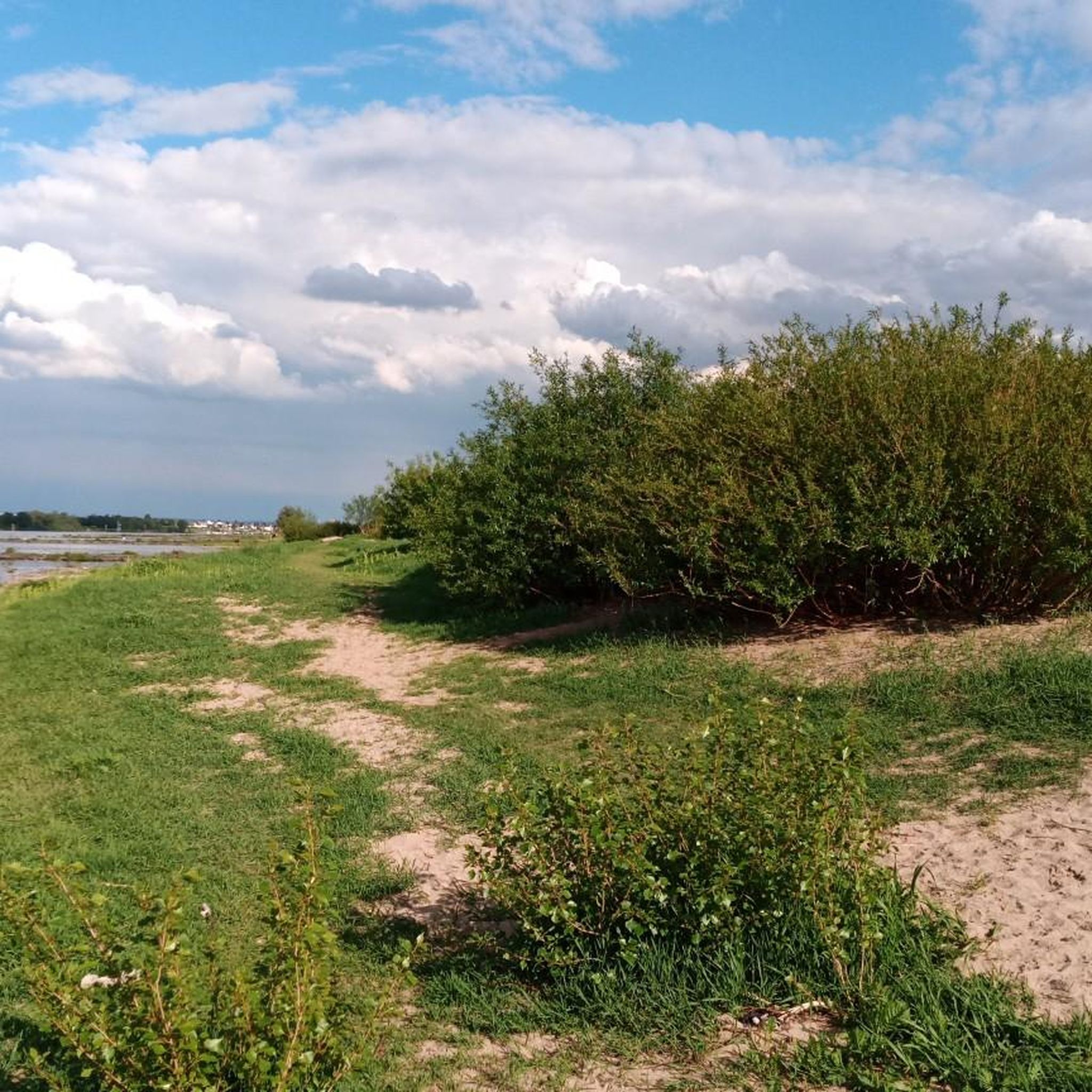
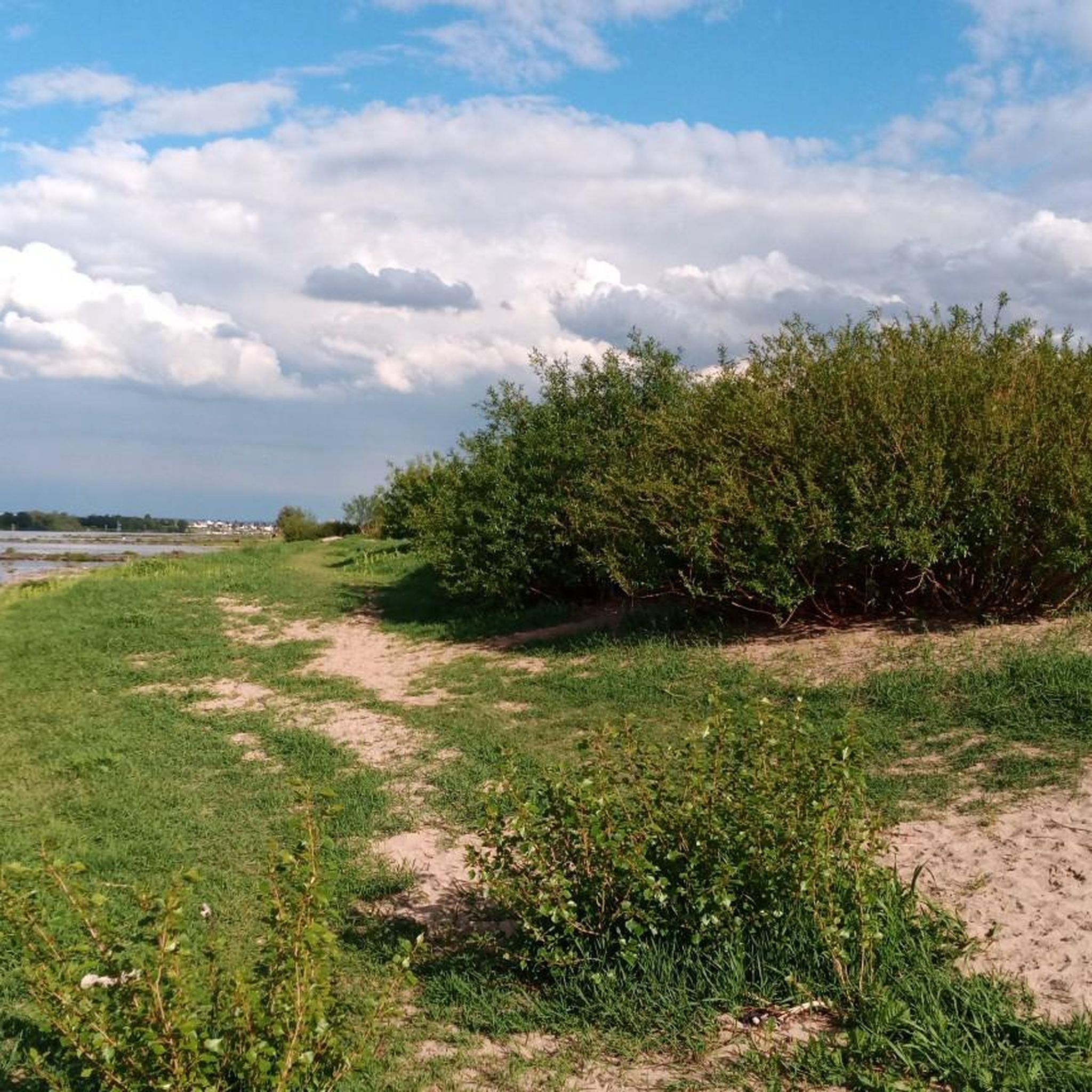
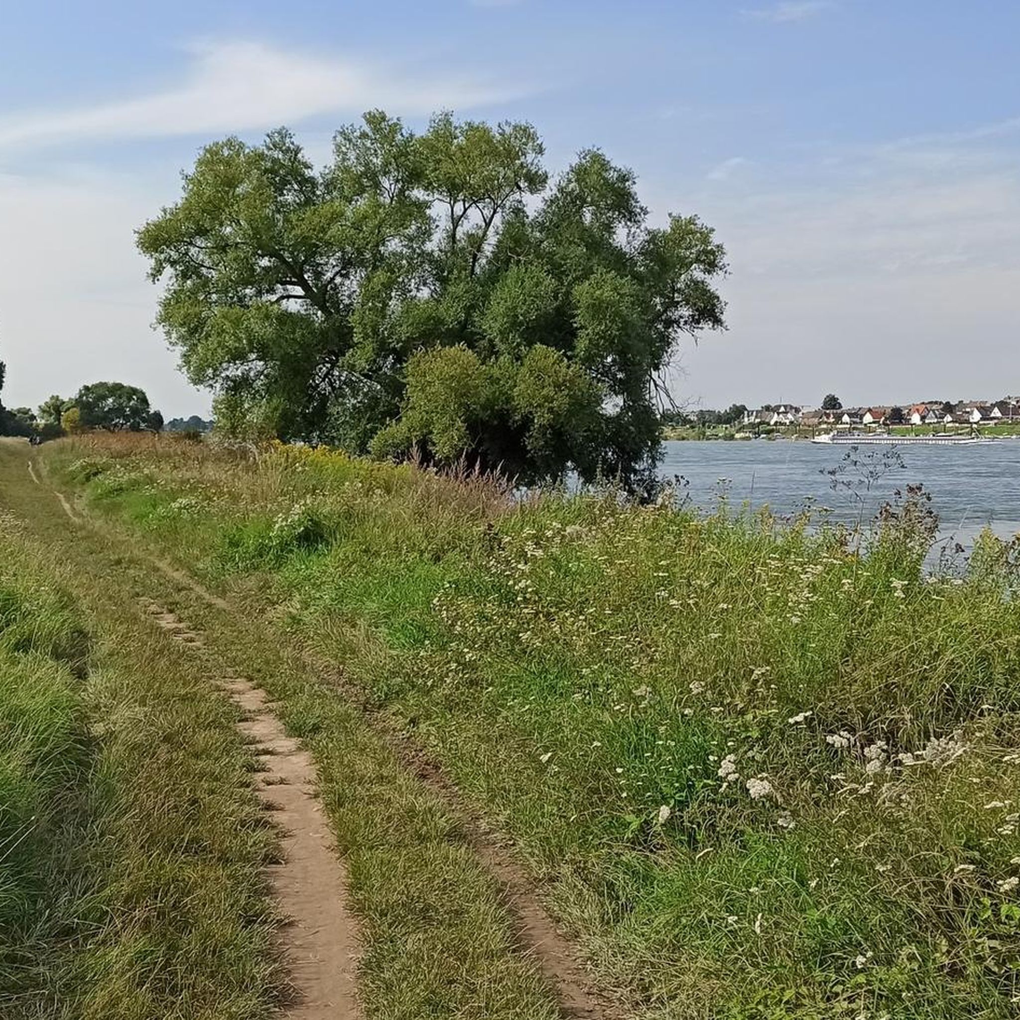
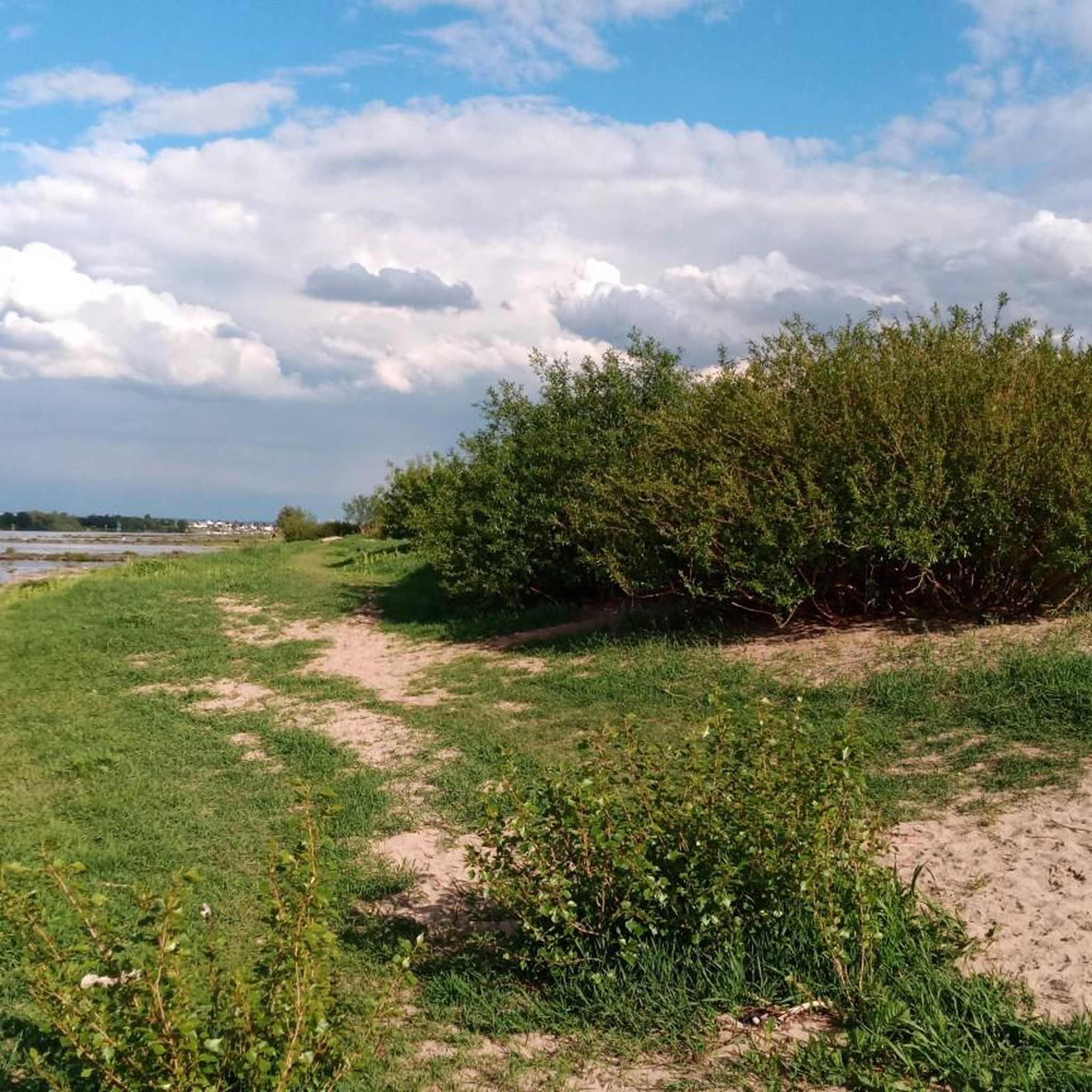
Touring cycling in Rheinaue Worringen-Langel offers a diverse landscape along the Rhine in Cologne. The area features extensive Rhine meadows, reed beds, and old flood channels, providing a varied environment for cyclists. Its generally flat topography, being Cologne's lowest point, makes it suitable for various fitness levels. The region also includes forests, grasslands, and natural Rhine riverbanks, creating a dynamic setting for exploration.
Best touring cycling routes in Rheinaue Worringen-Langel
- The most popular touring cycling route is View of the…
Last updated: October 7, 2026
4.6
(60)
361
riders
Easy bike ride. Great for any fitness level. Mostly paved surfaces. Suitable for all skill levels.
3.0
(1)
17
riders
Easy bike ride. Great for any fitness level. Mostly paved surfaces. Suitable for all skill levels.

4.8
(16)
123
riders
Hard bike ride. Great for any fitness level. You may need to push your bike for some segments of this route.
4.9
(13)
107
riders
10.9km
00:37
10m
10m
Easy bike ride. Great for any fitness level. Mostly paved surfaces. Suitable for all skill levels.
3.8
(4)
121
riders
Easy bike ride. Great for any fitness level. Mostly paved surfaces. Suitable for all skill levels.
Get access to more routes and recommendations from other explorers.
Already have an account?
Our route recommendations are based on thousands of hikes, rides, and runs completed by other people on komoot.
Start today with a free account
Your next adventure awaits.
Tips from the Community

Around the turn of the 18th to the 19th century, the first schokkers, initially under Dutch occupation, came up the Rhine and were later found as far as the Middle Rhine, until the onset of the great Rhine fish kill in the 1960s led to the decline of this branch of trade.
1
0

Very nice bike and run route
0
0

Hiking is possible here in any weather, as some of the paths are paved and therefore easily walkable even after rain. However, many cyclists are also out and about here when the weather is nice.
0
0

Currently only accessible on Sundays due to construction work (more likely only with gravel/MTB)
1
0

Nice idea and somehow fits
3
1

The original Kotten was dismantled in Langenfeld-Wiescheid and rebuilt here as a museum. It remained in operation until 1988 and was run by the last knife-knife cutter, Wilhelm Jacobs. As a home-based business, he manufactured wooden knife handles, known as "knife bowls" and "knife handles," for the Solingen cutlery industry. https://stadtmuseum.langenfeld.de/Ausstellungen/Kotten.htm
2
0

If you want to take the Piwipp ferry, it currently only runs on weekends and public holidays!!
1
0

A very popular destination for cyclists and motorcyclists
5
0
Frequently Asked Questions
How many touring cycling routes are available in Rheinaue Worringen-Langel?
There are over 690 touring cycling routes in Rheinaue Worringen-Langel. These routes cater to various skill levels, with more than 460 easy, 140 moderate, and 80 difficult options available.
What kind of terrain can I expect on the touring cycling routes?
The region is generally flat, being Cologne's lowest point, making it suitable for various fitness levels. You'll cycle through diverse landscapes including expansive Rhine meadows, reed beds, alluvial forests, and natural Rhine riverbanks. The dynamic interplay of fluctuating water levels constantly reshapes the habitat, offering varied scenery.
Are there family-friendly touring cycling routes in Rheinaue Worringen-Langel?
Yes, many routes are suitable for families. The generally flat topography and well-developed network of paths make it easy for cyclists of all ages. An easy option is the Zons Windmill – Zons Windmill loop from Worringen, which is 11.4 miles (18.3 km) and features flat terrain and scenic views.
What are some notable natural features or landmarks I can see along the routes?
The Rheinaue Worringen-Langel offers a rich natural environment. You can explore remnants of old Rhine oxbow lakes and pools, and observe the unique grazing concept with Glan cattle. Specific highlights include the scenic Langeler Damm, an old arm of the Rhine in the north, and the Frohnweiher (Fuul Loch). Routes often pass by the Hitdorf Harbor and can connect to the Worringer Bruch Nature Reserve.
Are there circular touring cycling routes available?
Yes, many routes are designed as loops, allowing you to start and end at the same point. For example, the View of the Rhine in Monheim – Baumberg riverside promenade loop from Rheinaue Worringen-Langel is a popular 12.7-mile (20.4 km) circular route offering views along the Rhine.
What is the best time of year to go touring cycling in Rheinaue Worringen-Langel?
The region is enjoyable for cycling throughout much of the year. Spring and autumn offer pleasant temperatures and vibrant scenery. While the area experiences fluctuating water levels, leading to periodic flooding and drying, the well-maintained paths generally remain accessible. Always check local conditions before heading out.
How can I access the touring cycling routes by public transport?
Rheinaue Worringen-Langel is located within the Cologne city area, making it accessible by public transport. Specific bus or train connections to Worringen or Langel can bring you close to various starting points for the routes. Check local public transport schedules for the most convenient options to reach the area.
Where can I find parking for my bike tour?
Designated parking areas are available at various access points around Rheinaue Worringen-Langel. Look for parking facilities near the main entry points to the nature reserve or in the nearby towns of Worringen and Langel, which often have public parking suitable for cyclists.
Are there any routes that connect to other towns or attractions outside the immediate area?
Yes, some touring cycling routes extend beyond the immediate Rheinaue Worringen-Langel area. For instance, routes can link to urban centers or even medieval towns like Zons, offering a varied touring experience. The Langel Ferry also provides an opportunity to cross the Rhine and explore areas on the opposite bank.
What do other touring cyclists enjoy most about cycling in Rheinaue Worringen-Langel?
The area is highly rated by the komoot community, with an average score of 4.4 stars from over 11,000 reviews. Cyclists often praise the diverse natural landscapes, the well-developed network of paths along the Rhine, and the variety of routes that cater to different ability levels, from easy to more challenging.
Are there any specific scenic paths recommended for touring cyclists?
The "Langeler Damm" is particularly highlighted as a fantastic cycle path directly along the Rhine, offering continuous scenic views before transitioning into more urban areas. You can find sections of this path within routes like the Wupper Dike Trail – Rapids on the Wupper loop from Rheinaue Worringen-Langel.
Can I find places to eat or drink near the cycling routes?
While the Rheinaue Worringen-Langel is primarily a nature reserve, the nearby towns of Worringen and Langel, as well as areas like Hitdorf, offer cafes, pubs, and restaurants where you can refuel during or after your ride. The Bike loop from Hitdorf, for example, starts and ends near amenities.
Most popular routes in Rheinaue Worringen-Langel
Most popular attractions in Rheinaue Worringen-Langel

Get inspired with the komoot mobile app


Explore more
Browse the best Cycling routes in other regions.
