The best walks and hikes around Hohenau
4.7
(2124)
7,299
hikers
107
hikes
Hiking around Hohenau, nestled in the Bavarian Forest, offers diverse landscapes for outdoor enthusiasts. The region features a variety of terrains, from gentle forest paths to more challenging mountainous routes, catering to different fitness levels. Hikers can explore thick woodlands, picturesque rivers like the Reschbach and Saußbach, and notable rock formations such as the Buchberger Leite. The area also provides access to the extensive trail network of the Bavarian Forest National Park, including routes leading to summits like Lusen.
Best…
Last updated: October 8, 2026
4.8
(148)
515
hikers
11.9km
03:37
410m
410m
Moderate hike. Good fitness required. Mostly accessible paths. Sure-footedness required.
4.7
(41)
119
hikers
Easy hike. Great for any fitness level. Easily-accessible paths. Suitable for all skill levels.

4.7
(85)
382
hikers
Moderate hike. Good fitness required. Easily-accessible paths. Suitable for all skill levels.
4.9
(16)
100
hikers
13.9km
04:30
580m
580m
Hard hike. Good fitness required. Sure-footedness, sturdy shoes and alpine experience required.
4.8
(292)
901
hikers
15.1km
04:48
450m
450m
Hard hike. Good fitness required. Sure-footedness, sturdy shoes and alpine experience required.
Get access to more routes and recommendations from other explorers.
Already have an account?
Our route recommendations are based on thousands of hikes, rides, and runs completed by other people on komoot.
Start today with a free account
Your next adventure awaits.
Popular around Hohenau
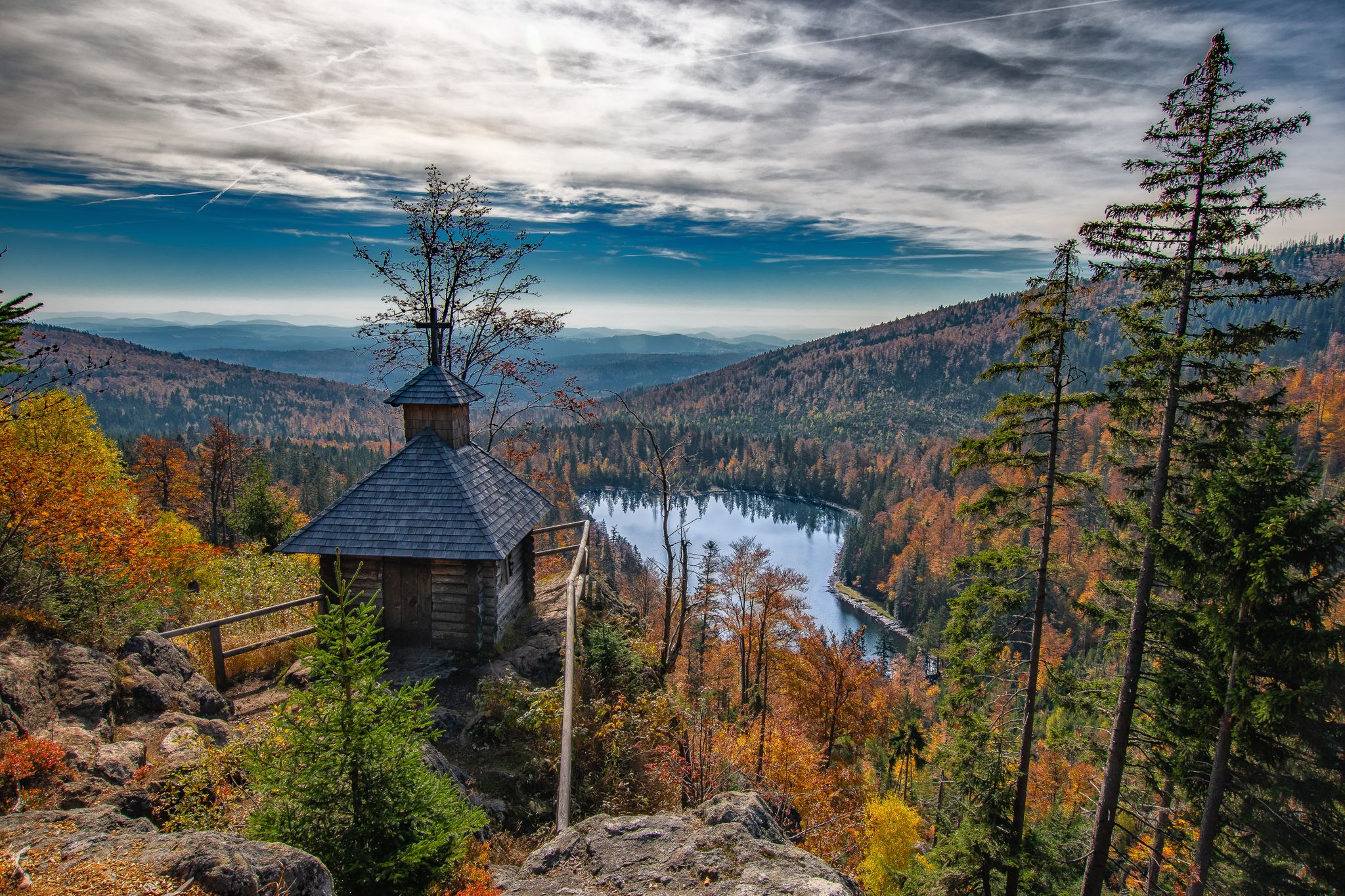
Diverse hiking in the Bavarian Forest National Park
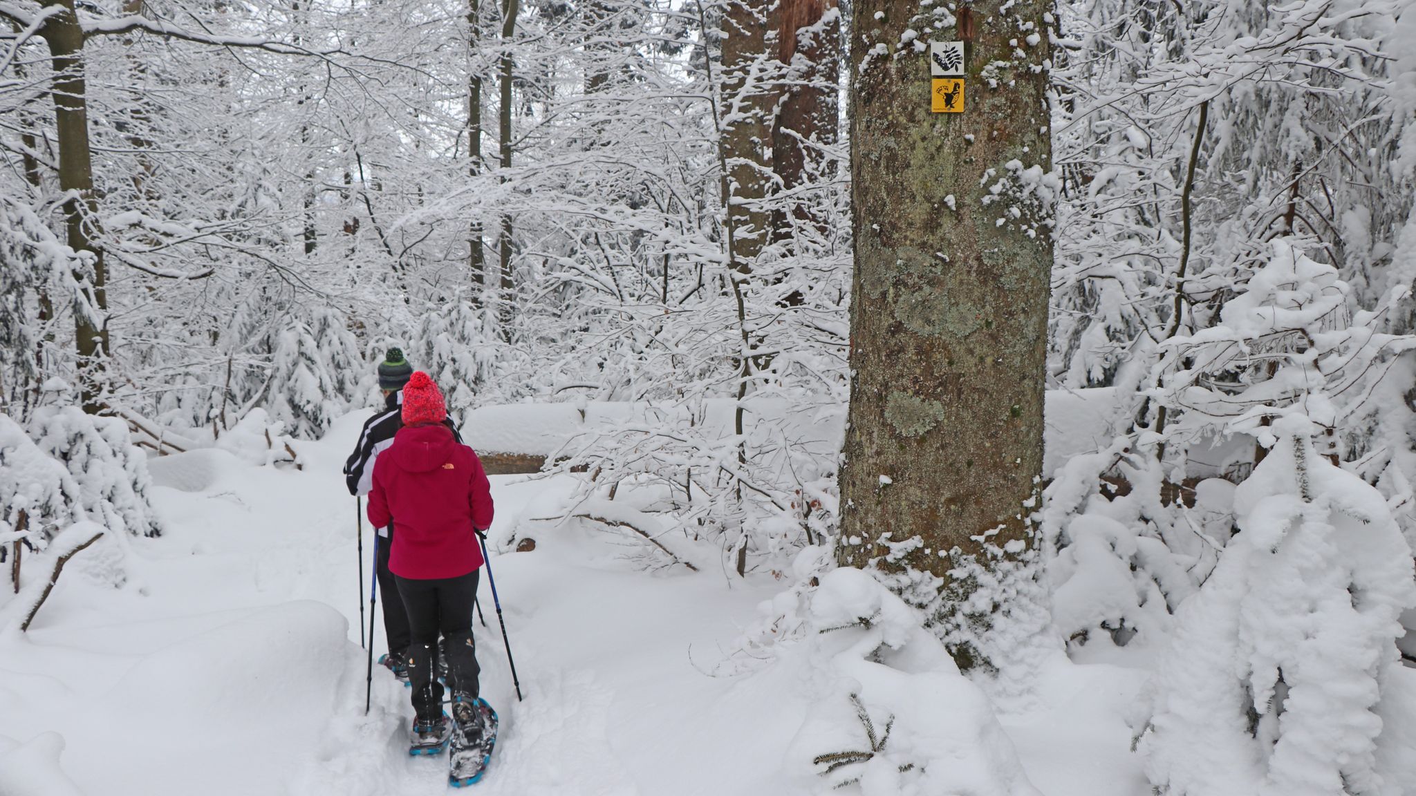
On snowshoes in the Bavarian Forest National Park
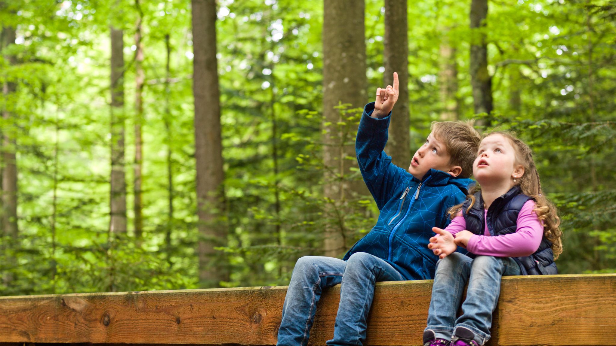
Family-friendly hikes in the Bavarian Forest National Park
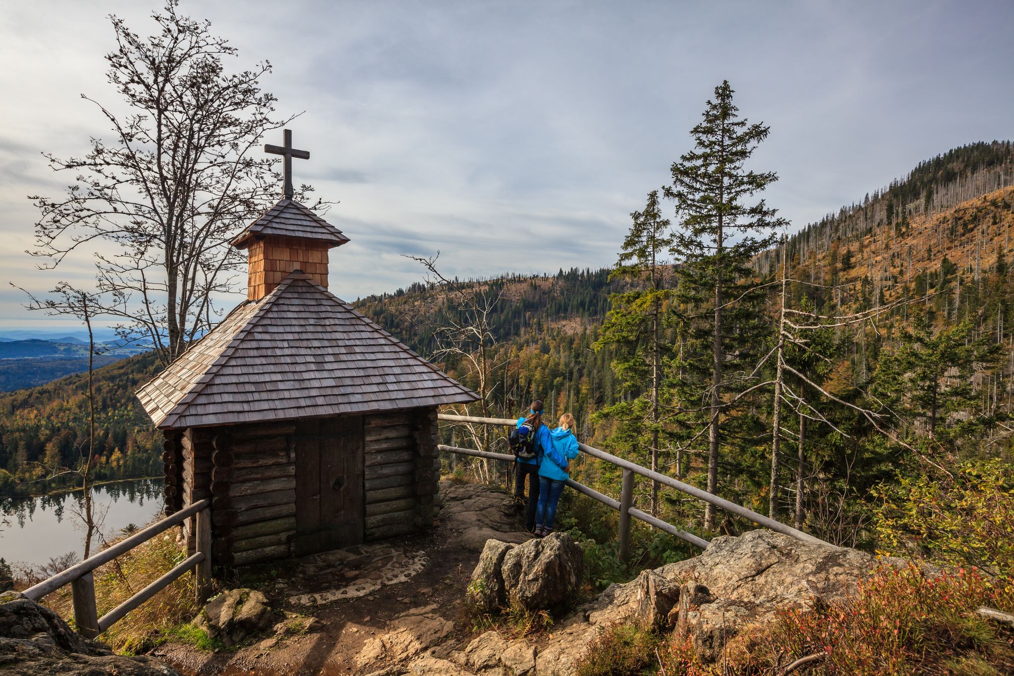
Lovely hikes in the Bavarian Forest National Park
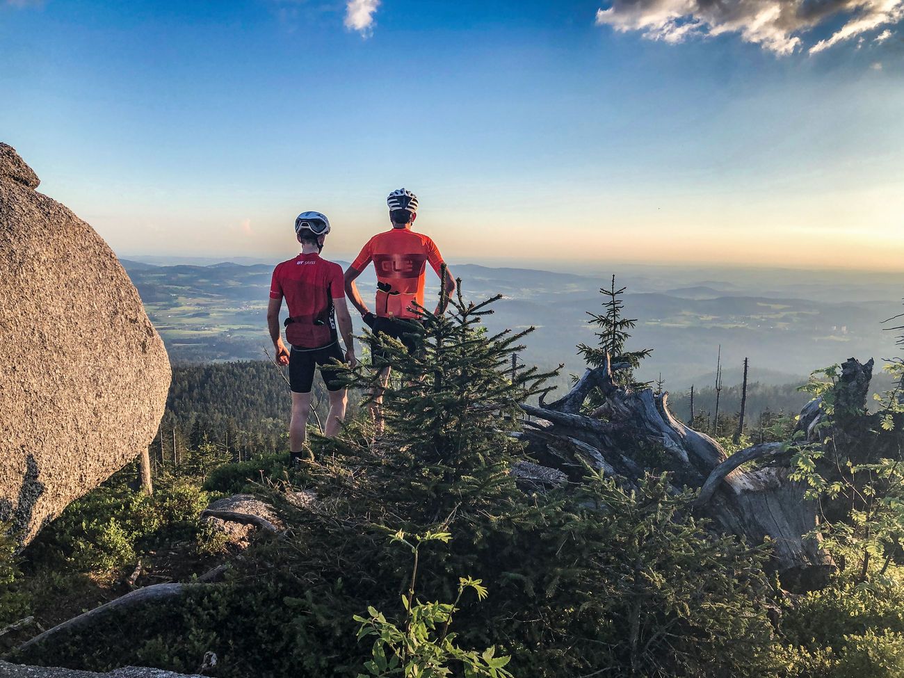
Peak tour through Germany: the highest pass and mountain roads
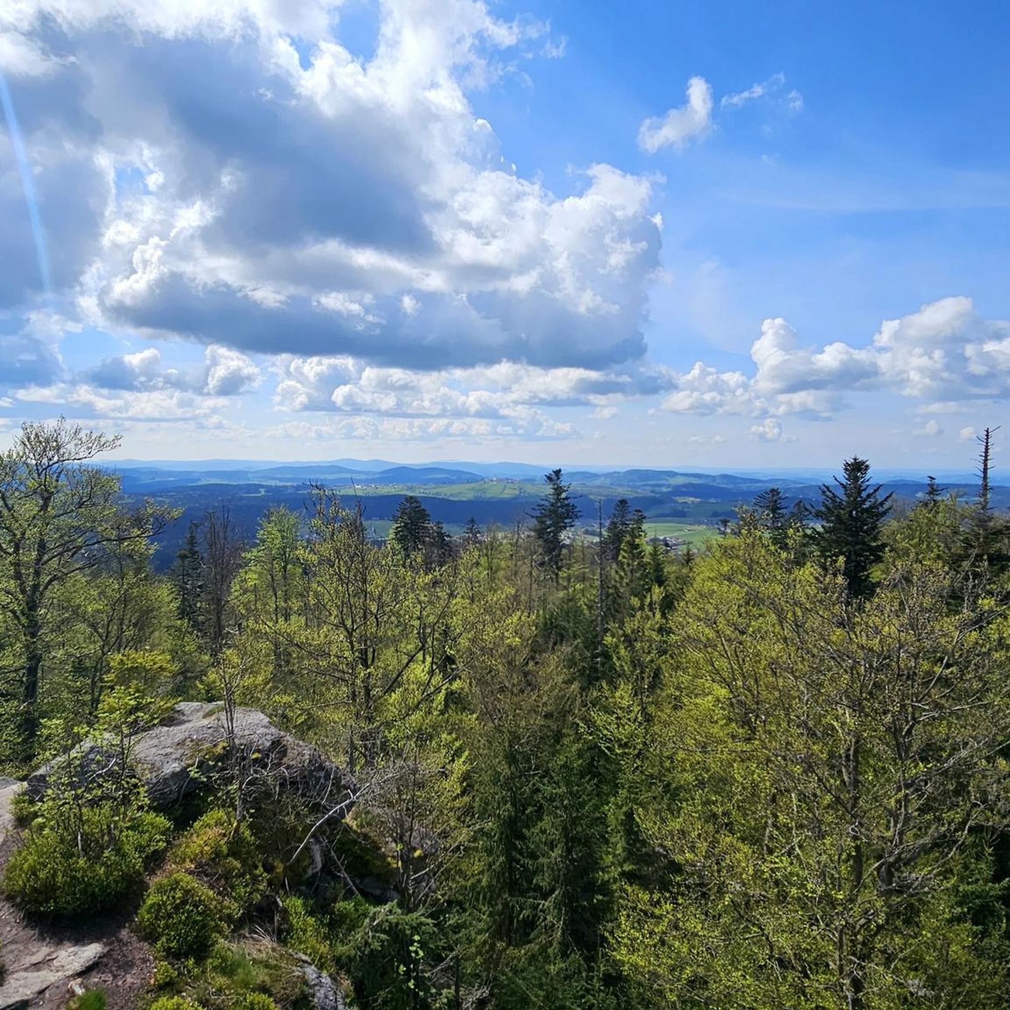
Cycling around Hohenau
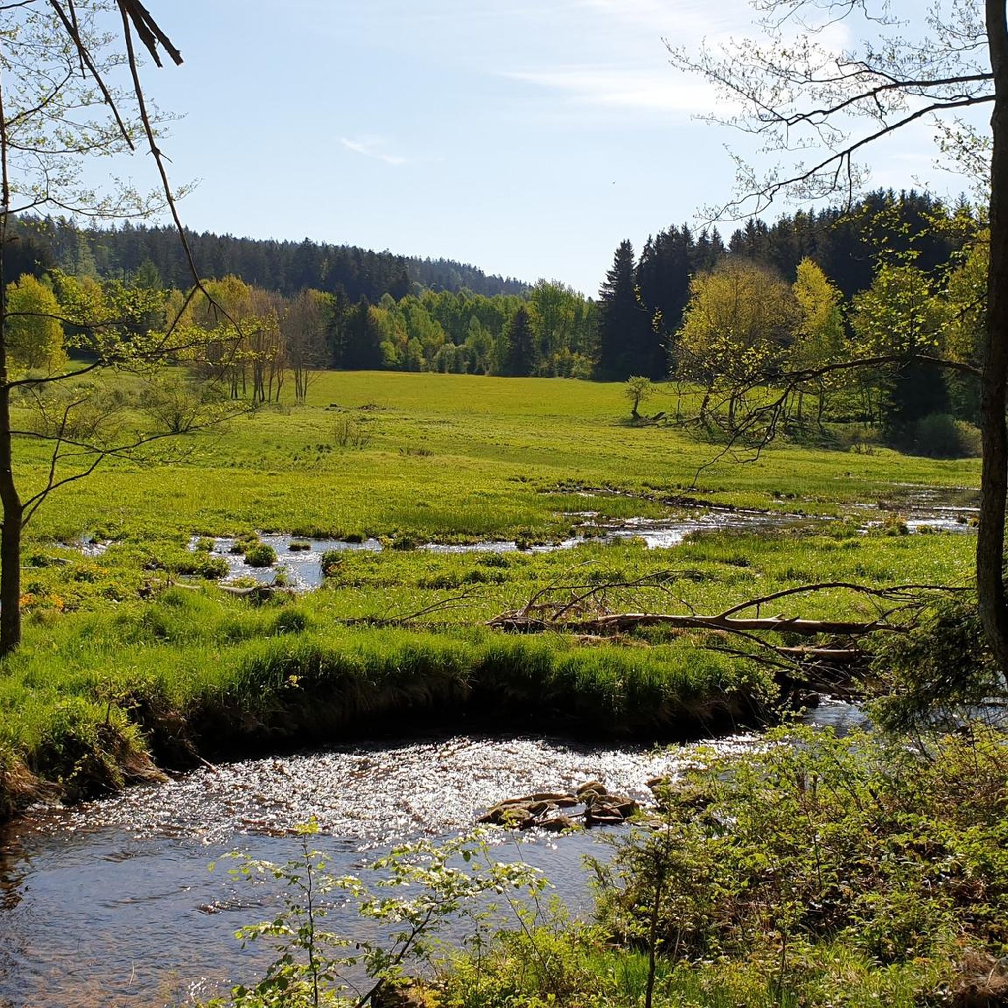
MTB Trails around Hohenau
Road Cycling Routes around Hohenau
Gravel biking around Hohenau
Running Trails around Hohenau
Other adventures around Hohenau


Tips from the Community

The Buchberger Leite is absolutely worth seeing. The path always follows the water along rocks and roots
0
0

From Waldhäuser via the Waldhäuser forest and Glasarche via Himmelsleiter to Lusen. Stop at the Lusenschutzhaus and back down to the Waldhäuser car park via Winterweg and road. Walking time approx. 2:15h. Always busy on weekends with good weather.
0
0


Block sea on Lusen > particularly valuable The entire summit area of Lusen is a large, exposed block sea. This largest block sea in the Bavarian Forest National Park was formed by Pleistocene erosion of the weathered crust and the disintegration of the underlying rock (fine- to medium-grained granite), primarily through frost weathering. In the upper area, the blocks disintegrated in situ without significant transport downhill. Thus, veins can be followed across the block sea along strike. The geotop was awarded the "Bavaria's 100 Most Beautiful Geotopes" seal of approval and is explained on-site with an information board. Further information at https://www.lfu.bayern.de/geologie/bayerns_schoenste_geotope/index.htm Bavarian State Office for the Environment (LfU). https://www.umweltatlas.bayern.de/standortauskunft/rest/reporting/sb_geotope/generate?additionallayerfieldvalue=272R016
1
0

very nice place for a short break
0
0

Buchberger Leite Wild Stream Gorge - In the Realm of Mosses and Ferns The Buchberger Leite Gorge between Ringelai and Freyung is one of Bavaria's most impressive gorge landscapes, awarded the seal of "Bavaria's Most Beautiful Geotopes." Gravel-laden streams, steep rocky ridges, and primeval forests characterize this natural spectacle of water and wilderness. Remnants of primeval forest survive in moss- and fern-rich gorges. The legendary cliffs of the Bayerischer Pfahl force the Wolfsteiner Ohe River into its channel, which is up to 100 meters deep in the landscape. The Buchberger Leite is a significant natural heritage site and is part of the EU's Natura 2000 network. River dams and canals, where the water appears to flow uphill at first glance, bear witness to human activity. The eight-kilometer-long adventure trail "Man and Nature in the Buchberger Leite" invites you to an exciting hike. Between Freyung and Ringelai, you can learn about interesting facts and information in the Wildbachklamm Gorge and experience the gorge's special charm. At prominent points in the Buchberger Leite, there are information boards and numbered markers that highlight special features of the landscape, such as the stream and river system, the power of water, the rafting industry, the geological history (Pfahlfelsen), and the Puchberg dynasty, who once lived high above the Wolfsteiner Ohe River – now the Neuenpuchberg ruins. The Buchberger Leite hiking trail also runs along the European pilgrimage route "VIA NOVA," which leads from the Danube Valley to the Czech Republic. https://www.nationalpark-ferienland-bayerischer-wald.de/wildbachklamm-buchberger-leite/
2
0

Frequently Asked Questions
What types of hiking trails can I expect around Hohenau?
Hohenau, situated in the Bavarian Forest, offers a wide variety of terrains. You'll find everything from gentle forest paths suitable for leisurely strolls to more challenging mountainous routes, including ascents to summits like Lusen. The region is characterized by dense woodlands, picturesque river valleys, and notable rock formations.
Are there hiking trails suitable for families with children?
Yes, Hohenau has several family-friendly options. For an easy and engaging walk, consider the Circular route Crayfish - Family-friendly tour over stock and stone, which is just 2.3 km long and traverses varied terrain. The Bavarian Forest National Park also features adventure trails like the 'Seelensteig' and 'Natur-Erlebnis-Pfad' designed for discovery.
Can I bring my dog on the hiking trails in Hohenau?
Many trails in the Hohenau region and the Bavarian Forest National Park are dog-friendly, but it's always recommended to keep dogs on a leash, especially in protected areas or near wildlife. Always check specific trail regulations before you go.
What are some notable natural features or landmarks to see while hiking?
The region is rich in natural beauty. You can explore the unique rock formations of the Buchberger Leite, a geotope with rooty paths and suspension bridges. Rivers like the Reschbach and Saußbach offer scenic views, and you might encounter attractions such as the Three Waterfalls or the Reschbachklause. For impressive views, consider routes leading to the Lusen Summit.
Are there any circular hiking routes available?
Yes, Hohenau offers several circular routes. A popular easy option for families is the Circular route Crayfish - Family-friendly tour over stock and stone. For a more challenging experience, the Lusen Shelter – Lusen Summit loop from Felswandergebiet is a moderate 14.3 km trail offering significant elevation gain and stunning vistas.
What is the best time of year to go hiking in Hohenau?
Hohenau is a year-round hiking destination. Spring and autumn offer pleasant temperatures and beautiful scenery with changing foliage. Summer is ideal for longer days and exploring higher elevations. Even in winter, the region provides an extensive network of cleared winter hiking trails and opportunities for snowshoe tours, particularly around the Lusen National Park Centre.
How many hiking trails are there in the Hohenau area?
There are over 100 hiking routes available around Hohenau, catering to various skill levels. Approximately 40 of these are easy, 46 are moderate, and 24 are considered difficult, ensuring options for every hiker.
What do other hikers say about the trails in Hohenau?
The hiking trails in Hohenau are highly rated by the komoot community, with an average score of 4.7 stars from over 1,800 reviews. Hikers often praise the diverse terrain, the beauty of the Bavarian Forest, and the well-maintained paths that lead through woodlands and along rivers.
Are there any water features or lakes to visit along the trails?
Yes, the region features picturesque rivers like the Reschbach and Saußbach. You can also find several reservoirs and ponds, such as the Martinsklause Reservoir, Reschbachklause, and Hammerklause Pond, which offer beautiful spots for a break.
What is the difficulty level of the trails in Hohenau?
Hohenau offers a range of difficulty levels. You'll find easy paths suitable for beginners and families, moderate trails like Along the mountain stream to the meeting place, and more difficult mountaineering routes that require good fitness and sure-footedness, such as the Great Kanzel Summit – Little Pulpit loop from Felswandergebiet.
Is public transport available to reach hiking trailheads in Hohenau?
Hohenau is integrated into the public transport network of the Bavarian Forest. While specific trailhead access may vary, regional buses often connect to key points within the National Park. It's advisable to check local bus schedules for the most up-to-date information on reaching specific starting points.
Are there any long-distance hiking trails accessible from Hohenau?
Yes, Hohenau is near sections of the Goldsteig, a certified quality long-distance hiking trail that traverses the Bavarian Forest National Park. This offers opportunities for extended hikes or multi-day tours for experienced trekkers.
Most popular routes around Hohenau
Most popular attractions around Hohenau

Get inspired with the komoot mobile app


Explore more
Browse the best Hikes in other regions.
