The best road cycling routes around Hohenaspe
4.6
(265)
2,270
riders
280
rides
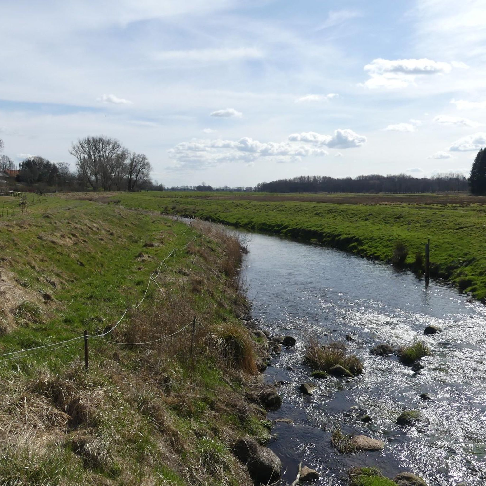
Road cycling routes around Hohenaspe are characterized by a predominantly flat topography, making the region ideal for long distances without strenuous climbs. The landscape features well-paved surfaces, a mix of picturesque Geest land, agricultural areas, and forested sections. Proximity to the Stör River and its tributaries allows for routes that traverse waterways and floodplain meadows, offering diverse scenery. The region's generally low elevation means that any rises under 200m are considered hills.
Best road cycling routes in Hohenaspe
- The most popular road cycling route is Kaaksburg Snack Bar – Schenefeld Mill Pond loop from Steinburg, a 17.0 miles (27.4 km) trail that takes 1 hour 6 minutes to complete. This easy route offers views of the local landscape and a mill pond.
- Another top favourite among local road cyclists is Heiligenstedten Bascule Bridge – Stör Barrier loop from Kreis Steinburg, a moderate 34.0 miles (54.8 km) path. This route follows waterways and marshlands on low-traffic roads.
- Local road cyclists also love the Lohmühlenteich – View of Lohmühle loop from Schlotfeld, a 28.8 miles (46.3 km) trail leading through agricultural areas and past ponds, often completed in about 1 hour 57 minutes.
- Road cycling around Hohenaspe is defined by flat and varied terrain, waterways, and forested sections. The network offers options for easy, moderate, and challenging routes, catering to different ability levels.
- The routes in Hohenaspe are highly rated by the komoot community with an average score of 4.6 stars from over 270 reviews. More than 2,300 road cyclists have used komoot to explore Hohenaspe's varied terrain.
Last updated: May 14, 2026
5.0
(4)
17
riders
27.4km
01:06
110m
110m
Easy road ride. Great for any fitness level. Mostly well-paved surfaces and easy to ride.
14
riders
54.8km
02:18
150m
150m
Moderate road ride. Good fitness required. Some segments of this route may be unpaved and difficult to ride.

Sign up for free
5.0
(1)
12
riders
46.3km
01:57
230m
230m
Easy road ride. Great for any fitness level. Mostly well-paved surfaces and easy to ride.
5.0
(1)
10
riders
14.2km
00:38
80m
80m
Moderate road ride. Great for any fitness level. Some segments of this route may be unpaved and difficult to ride.
5.0
(1)
10
riders
21.2km
00:58
90m
90m
Easy road ride. Great for any fitness level. Mostly well-paved surfaces and easy to ride.
Get access to more routes and recommendations from other explorers.
Sign up for free
Already have an account?
Our route recommendations are based on thousands of hikes, rides, and runs completed by other people on komoot.
Start today with a free account
Your next adventure awaits.
Login or Signup
Tips from the Community

Very quaint and also practical: I made myself comfortable in the armchair and waited for the rain.
2
0
High sheep density, correspondingly many "obstacles" along the route. The surface is good. Great view towards Cuxhaven. The Elbe River already smells a bit like the North Sea. On the Glückstadt side, there are beautiful thatched-roof properties behind the dike.
2
0

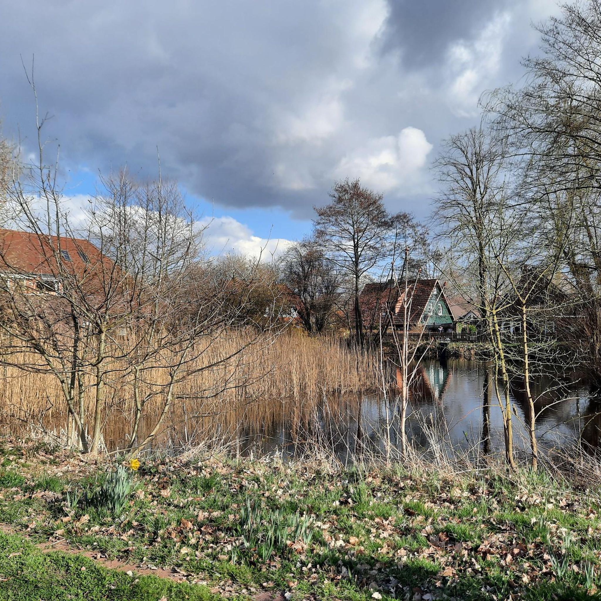
Ponds with rustic cottages. Great roads through the forest.
0
0

Wonderfully located for a break.
3
0

Please note the price tag which has been hanging here for a while. (-:
1
0
Good selection of tools, it's nice that there are more and more stations like this.
1
0
Frequently Asked Questions
What kind of terrain can I expect when road cycling around Hohenaspe?
Road cycling around Hohenaspe is characterized by a predominantly flat topography, making it ideal for long distances without strenuous climbs. You'll find well-paved surfaces through a mix of picturesque Geest landscape, agricultural areas, and forested sections. Routes often traverse waterways and floodplain meadows, offering diverse scenery.
Are there many road cycling routes available in the Hohenaspe area?
Yes, the Hohenaspe area offers a wide selection of road cycling routes. There are over 300 routes available, catering to various skill levels from easy to moderate, with a few more challenging options.
What are some natural features or landmarks I can see along the road cycling routes near Hohenaspe?
Many routes offer scenic views of natural features and local landmarks. You might pass by the unique Nordoe Inland Dunes Nature Reserve, enjoy the tranquility of Deckmann's Ponds, or cycle alongside the Lohmühlenteich. The region's proximity to the Stör River also means routes often follow waterways and marshlands.
Are there any easy road cycling routes suitable for beginners or a relaxed ride?
Absolutely. Hohenaspe offers many easy road cycling routes. For example, the Kaaksburg Snack Bar – Schenefeld Mill Pond loop from Steinburg is an easy 27.4 km route that provides pleasant views of the local landscape and a mill pond. Another easy option is the Lohmühlenteich – View of Lohmühle loop from Schlotfeld, which takes you through agricultural areas and past ponds.
What do other road cyclists say about the routes in Hohenaspe?
The road cycling routes in Hohenaspe are highly rated by the komoot community, with an average score of 4.6 stars from over 270 reviews. Cyclists often praise the predominantly flat and varied terrain, the well-maintained paths, and the peaceful environment through meadows, forests, and along waterways.
Can I find challenging road cycling routes around Hohenaspe?
While the region is largely flat, there are routes that offer a more moderate challenge, often due to their length or slightly more varied terrain. For instance, the Heiligenstedten Bascule Bridge – Stör Barrier loop from Kreis Steinburg is a moderate 54.8 km path that follows waterways and marshlands on low-traffic roads, providing a good endurance test.
Are there long-distance cycling routes that pass through or near Hohenaspe?
Yes, Hohenaspe is well-integrated into Schleswig-Holstein's extensive cycling network. The region is near significant long-distance paths such as the Mönchsweg, a 340 km route offering diverse scenic areas and cultural points of interest. Schleswig-Holstein boasts 13 developed long-distance cycle routes covering 2,919 kilometers, many of which are accessible from the Hohenaspe area. You can find more information on long-distance routes at sh-tourismus.de.
Is Hohenaspe a good destination for family-friendly road cycling?
Yes, the predominantly flat terrain and numerous easy routes make Hohenaspe an excellent choice for family-friendly road cycling. Many paths are on quiet roads or dedicated cycle paths, allowing for a relaxed and safe experience for cyclists of all ages.
What is the best time of year for road cycling in Hohenaspe?
The spring, summer, and early autumn months generally offer the best conditions for road cycling in Hohenaspe. During these seasons, you can expect pleasant temperatures and the full beauty of the region's agricultural areas, forests, and waterways. While winter cycling is possible, be prepared for colder weather and potentially wet conditions.
Are there any circular road cycling routes in Hohenaspe?
Many of the road cycling routes around Hohenaspe are designed as loops, allowing you to start and end your ride in the same location. Examples include the Kaaksburg Snack Bar – Schenefeld Mill Pond loop from Steinburg and the Heiligenstedten Bascule Bridge – Stör Barrier loop from Kreis Steinburg, providing convenient options for exploring the area.
Can I find places to eat or drink along the cycling routes in Hohenaspe?
Yes, the Hohenaspe area and nearby towns offer various options for refreshments. You can find cafes, pubs, and restaurants in local villages. For example, Gasthof Zur Erholung in Heiligenstedten is a highlight that could serve as a stop along a route.
Is it possible to reach Hohenaspe by public transport with a bicycle?
Hohenaspe is part of a region with good public transport connections. While specific services for bicycle transport can vary, Schleswig-Holstein generally supports cycling, and it's often possible to bring bicycles on regional trains. It's advisable to check the specific train or bus operator's policies and schedules in advance, especially if traveling from larger cities like Hamburg, Kiel, or Lübeck.
Most popular attractions around Hohenaspe

Get inspired with the komoot mobile app


Explore more
Browse the best Road cycling routes in other regions.
