The best cycling routes in Vlaams Natuurreservaat Oudsberg
4.5
(1696)
15,593
riders
409
rides
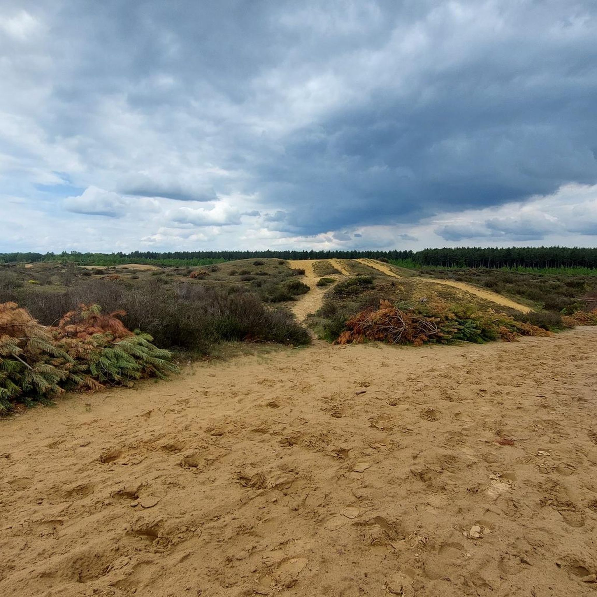
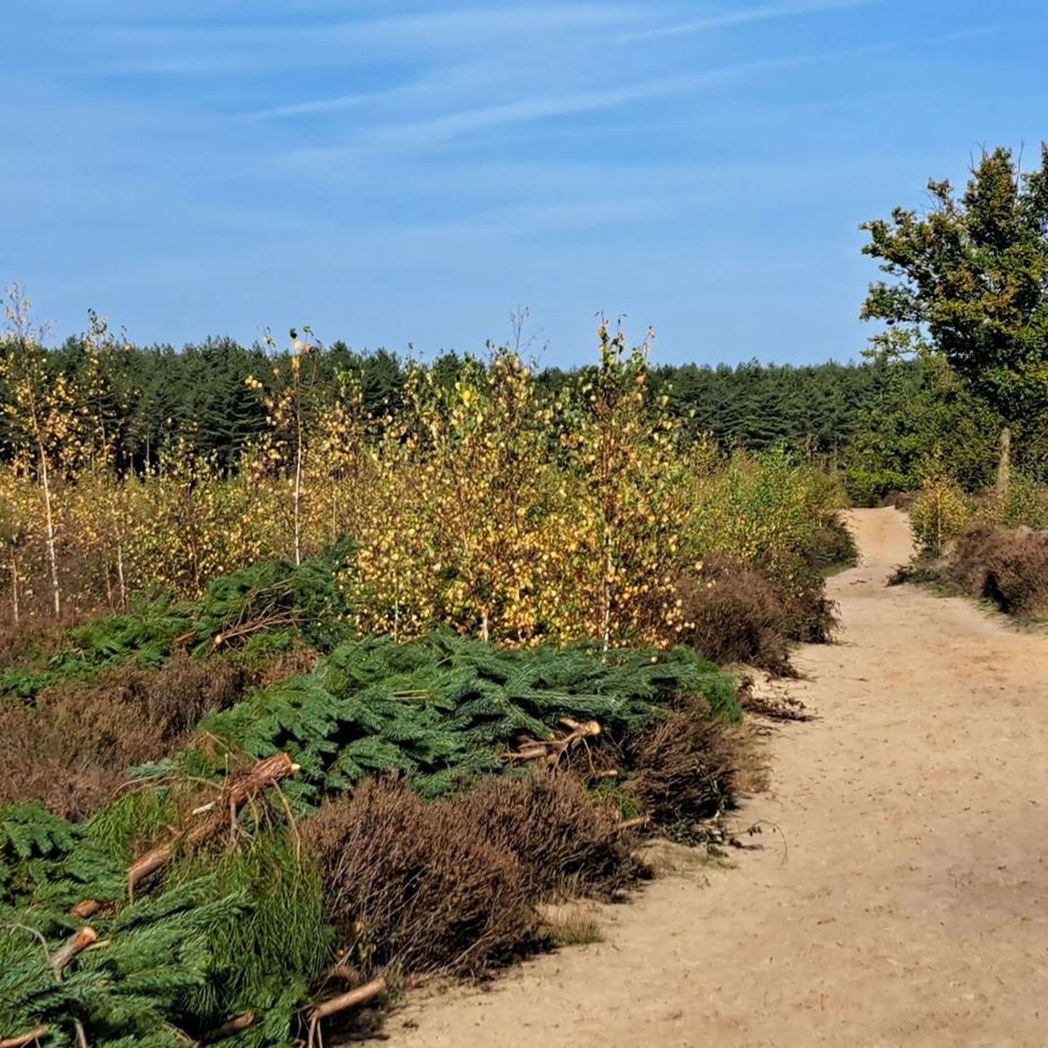
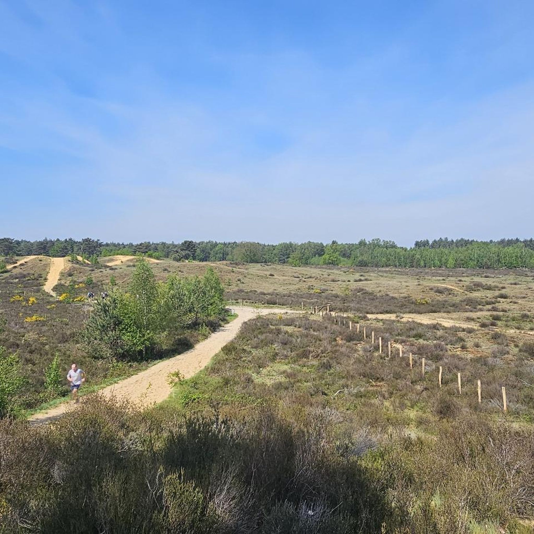
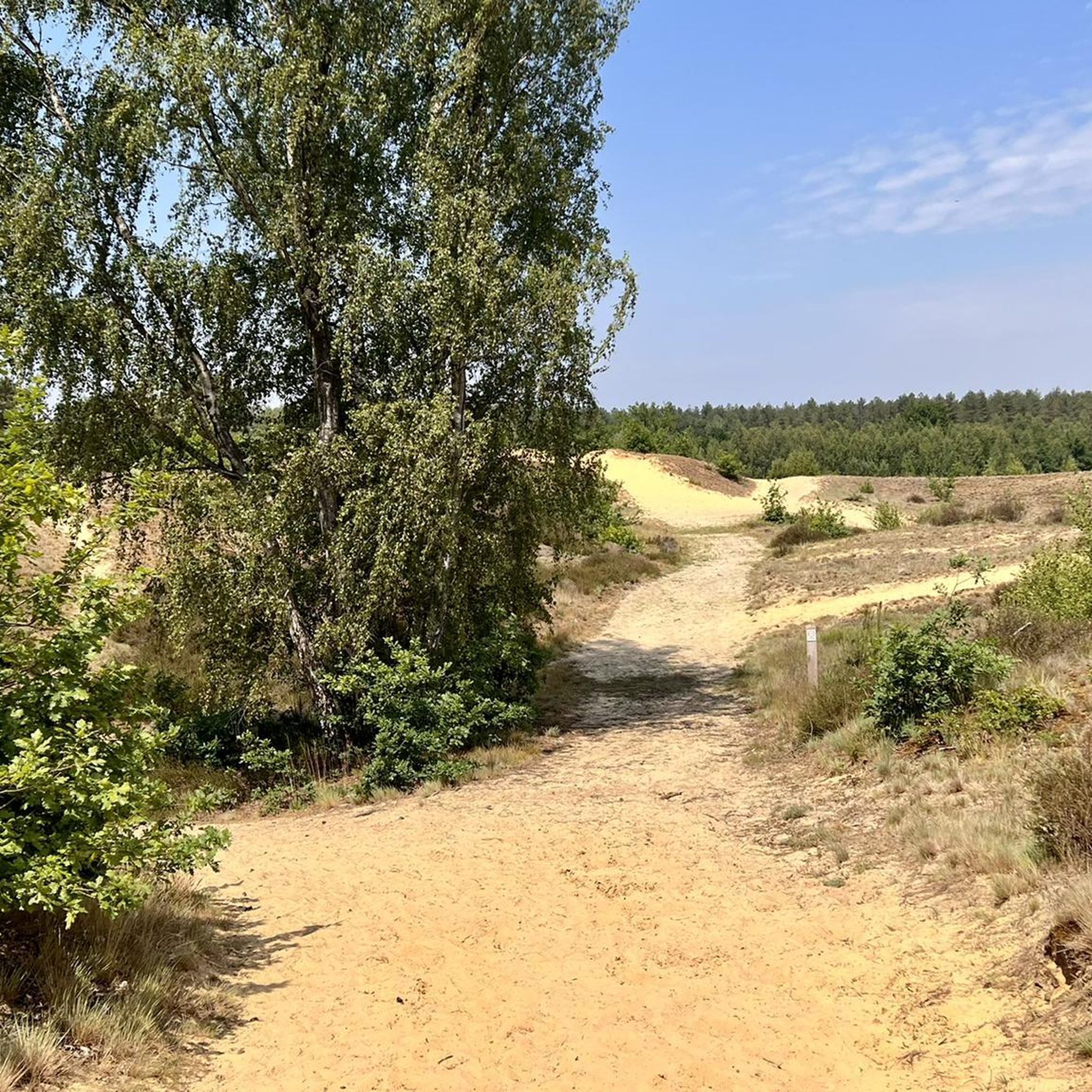
Touring cycling routes in Vlaams Natuurreservaat Oudsberg traverse a landscape characterized by the Oudsberg, Flanders' largest open sand dune, which rises to approximately 90 meters above sea level. The region features a mix of pristine forests, extensive heathlands, and fens. Cyclists encounter varied terrain, including paved surfaces and unpaved segments, with elevation gains up to 250 meters.
Best touring cycling routes in Vlaams Natuurreservaat Oudsberg
- The most popular touring cycling route is Gravel Path Through Forest – Oudsberg loop from…
Last updated: May 11, 2026
4.2
(9)
29
riders
28.3km
01:41
90m
90m
Easy bike ride. Great for any fitness level. Mostly paved surfaces. Suitable for all skill levels.
4.7
(3)
26
riders
Moderate bike ride. Good fitness required. Mostly paved surfaces. Suitable for all skill levels.

Sign up for free
5.0
(1)
21
riders
54.3km
03:10
240m
240m
Moderate bike ride. Good fitness required. Mostly paved surfaces. Suitable for all skill levels.
5.0
(3)
27
riders
31.2km
01:48
140m
140m
Easy bike ride. Great for any fitness level. Mostly paved surfaces. Suitable for all skill levels.
1.0
(1)
15
riders
Easy bike ride. Great for any fitness level. Mostly paved surfaces. Suitable for all skill levels.
Get access to more routes and recommendations from other explorers.
Sign up for free
Already have an account?
Our route recommendations are based on thousands of hikes, rides, and runs completed by other people on komoot.
Start today with a free account
Your next adventure awaits.
Login or Signup
Tips from the Community

A beautiful little street in the center of Thorn
0
0

How popular the route is with cyclists can be seen here
0
0

Take a break from all those kilometers while enjoying a special beer
0
0

Near Dilsen-Stokkem (Belgium), in the cross-border nature reserve along the Meuse Valley around the De Wissen Visitor Center and the Negenoord-Kerkeweerd nature reserve, you'll regularly encounter Konik horses in the open floodplains and grasslands, along with other large grazers such as Galloway cattle. These horses are not domesticated pets, but are part of a consciously implemented nature management program aimed at keeping the river landscape as naturally dynamic and biodiverse as possible. The Konik horses here live freely in the floodplains and river landscapes year-round. Their presence is functional: grazing, they cut down the grass and maintain open grasslands. In places where cattle primarily keep shrubs and young trees short, the horses also ensure that herbs, flowers, and short grass are preserved. This combination allows these large grazers to create a diverse patchwork of open areas, coarse grasses, herb-rich thickets, and vegetated edges—exactly what many plant and animal species need to thrive. In the area around Stokkem, you often hear from local guides like the MaasVerkenner that you'll almost always see these horses during a walk, especially on the paths around the old Meuse branches and small lakes of Negenoord. These grazers are an important part of the river landscape experience, and they naturally regulate grazing management, allowing the landscape to develop into a rich ecosystem with countless bird species, insects, and plants that are rare elsewhere in Limburg. Hikers and nature lovers can often observe the Konik horses from the trails around De Wissen and the breeding banks of the Meuse. Because they are wild animals, it is advised to always keep a distance, not feed them, and not disturb their natural behavior. If you're lucky, you might see them grazing peacefully in the morning light or among colorful, herbaceous meadows—an impressive example of how nature management and ecology go hand in hand in this part of the Meuse Valley.
1
0
🏘️ Opitter Center – The beating heart of a Kempen village. Opitter is a historic Kempen church village that has been part of the municipality of Bree in the Belgian province of Limburg since its merger in 1977. The center of Opitter, especially around Itterplein, forms the social, historical, and geographical core of the village, where nature, village life, cultural heritage, and community converge. The village was first mentioned in writing in 1143 as Itera, a name derived from the Itterbeek stream that flows through the village and defines Opitter's natural location. The village originated as a river valley settlement on the Itter riverbank and experienced its greatest growth around agriculture, watermills, and religious life. Throughout the centuries, Opitter often fell under the domain of the Counts of Loon and, in the Middle Ages, changed various administrative and property rights, including the influence of Averbode Abbey. Until well into the 20th century, Opitter remained primarily a farming village, although in the second half of the century it transformed into a commuter town with new residential areas and housing developments. The center was always formed around Itterplein, where the Itterbeek stream flows immediately to the west, a place where social, religious, and economic functions converged. Itterplein is the central square of Opitter and forms the social and historical hub of the village. Here are several important buildings and functions, such as the church and rectory, small squares, green spaces, and sightlines with a historical connection to the now-lost castle of the Lords of Opitter. (The castle once stood on a moated plot on the northern bank of the Itter; it was replaced by multifunctional centers in the 1980s.) Today, the square remains a central landmark for events, markets, and walking and cycling routes in and around Opitter. The Gothic St. Trudo Church is one of the most important heritage sites in the center and a recognizable landmark. Its foundations date back to the Middle Ages and it houses works of art and liturgical objects of historical significance. In the center and surrounding area, there are also other chapels and religious structures, such as the Chapel of Our Lady, and pastoral buildings rooted in local traditions from the 17th and 18th centuries. Opitter boasts several watermills, some of which are directly linked to the village's social and economic history. The most famous of these is Pollismolen, mentioned as early as 1078 and restored to this day. In addition, there are historical traces of other mills along the Itterbeek stream, such as Slagmolen (Slag Mill) and Kasteelmolen (Castle Mill), which, along with their milling history, illustrate traditional agriculture and crafts. These mills bear witness to how water power was part of the local economy and infrastructure for centuries, memories still visible in the landscape around the village center. In the town center, on Itterplein, lies the Cornelissen Brewery (formerly Sint-Jozef Brewery), a traditional family brewery since 1859 that produces beers such as Herkenrode and Pax Pils. This brewery is a cultural and social hub in Opitter, where visitors come to sample local beer and socialize in the area surrounding the square. Roads and paths run around the town center, leading directly to nature reserves such as the Itterbeek Valley and the castle park. This connection makes the town center not only a residential and shopping area but also a base for walks and recreation in the surrounding valleys, forests, and stream landscapes.
0
0
A Groteck chapel near the parking lot. A memorial for those who died in World War II.
0
0

Beautiful little town with a historic town hall and restaurants right on the bike path.
1
0

Frequently Asked Questions
How many touring cycling routes are available in Vlaams Natuurreservaat Oudsberg?
Vlaams Natuurreservaat Oudsberg offers a wide selection of touring cycling routes, with over 400 options available. These routes cater to various fitness levels and preferences, from easy rides to more challenging paths.
What kind of terrain can I expect on touring cycling routes in Vlaams Natuurreservaat Oudsberg?
The terrain in Vlaams Natuurreservaat Oudsberg is quite varied, reflecting its diverse landscape. You can expect a mix of pristine forests, extensive purple-flowering heathlands, and fens. Routes often feature both paved surfaces and unpaved segments, including sandy sections due to the presence of the Oudsberg, Flanders' largest open sand dune. Some routes may have elevation gains up to 250 meters.
Are there touring cycling routes suitable for beginners or those seeking an easy ride?
Yes, there are plenty of options for easy touring cycling. Over 200 routes are classified as easy, often featuring mostly paved surfaces with minimal elevation gain. An example is the Oudsbergen – Ruiterskuilen Pond loop from Gruitrode, which is 32 km long and offers scenic views of the Oudsberg dune and Ruiterskuilen Pond.
What are the options for more experienced touring cyclists looking for a challenge?
For experienced touring cyclists seeking a challenge, there are nearly 60 difficult routes available. These routes often include more significant elevation changes and potentially difficult unpaved sections where you might need to push your bike. The Gravel Path Through Forest – Oudsberg loop from Vlaams Natuurreservaat Oudsberg is an example of a route with varied surfaces through forest areas, classified as difficult.
What natural landmarks or viewpoints can I see while cycling in Vlaams Natuurreservaat Oudsberg?
While cycling, you can encounter several natural landmarks. The most prominent is the Oudsberg Dune itself, offering panoramic views from its summit. You'll also cycle through areas of Heath and Forest, and pass by fens like Ruiterskuilen, Turfven, Zwartven, and Broeksven. The Geuzenbaan (Gruitroder Forest) is another notable trail section.
Are there any historical sites or other attractions to explore near the cycling routes?
Beyond the natural beauty, you can explore the historically significant Gruitrode Commandery, which once belonged to the Order of the Teutonic Knights. The region also offers opportunities for wildlife spotting, with rare animals like the gray shrike and nightjar, and a 'Speelzone' (Play Area) which is Flanders' highest and sandiest play zone, great for children.
Is Vlaams Natuurreservaat Oudsberg suitable for family cycling trips?
Yes, the reserve is well-suited for family cycling trips, especially with its range of easy routes and the 'Speelzone' (Play Area) which is Flanders' highest and sandiest, providing an engaging space for children. Many routes feature mostly paved surfaces, making them accessible for families. For example, the Zuid-Willems Canal – Fulling Mill Opoeteren loop from Opoeteren is an easy 28 km path that follows canal-side paths.
Can I bring my dog on the touring cycling routes in Vlaams Natuurreservaat Oudsberg?
While the region is rich in nature, specific regulations for dogs on cycling trails within Vlaams Natuurreservaat Oudsberg can vary. It's generally advisable to keep dogs on a leash in nature reserves to protect wildlife and ensure the safety of other visitors. Always check local signage or the official website of Visit Limburg for the most current rules regarding pets.
What do other cyclists say about the touring routes in Vlaams Natuurreservaat Oudsberg?
The touring cycling routes in Vlaams Natuurreservaat Oudsberg are highly rated by the komoot community, with an average score of 4.5 stars from over 1,500 reviews. Cyclists often praise the varied terrain, the unique landscape featuring the Oudsberg dune, and the serene experience of cycling through forests and heathlands. Over 16,000 touring cyclists have used komoot to explore the area, highlighting its popularity.
Are there circular touring cycling routes in the area?
Yes, many of the touring cycling routes in Vlaams Natuurreservaat Oudsberg are designed as loops, allowing you to start and end at the same point. Examples include the Gravel Path Through Forest – Oudsberg loop and the Oudsbergen – Ruiterskuilen Pond loop. These circular routes make planning your ride convenient.
What is the best time of year for touring cycling in Vlaams Natuurreservaat Oudsberg?
The region is enjoyable for touring cycling throughout much of the year. Spring and autumn offer pleasant temperatures and beautiful scenery, with the heathlands blooming purple in late summer/early autumn. Summer can be warm but is also popular. Winter cycling is possible, though some unpaved sections might be muddy or sandy. Always check local weather conditions before heading out.
Are there cafes or places to stop for refreshments along the touring cycling routes?
While specific cafes directly on every route are not listed, the region is well-equipped for visitors. You'll find cafes, pubs, and restaurants in nearby towns and villages such as Gruitrode and Opoeteren, which serve as common starting or ending points for many routes. It's a good idea to plan your stops in advance, especially on longer rides.
How can I access Vlaams Natuurreservaat Oudsberg by public transport for cycling?
Public transport options to Vlaams Natuurreservaat Oudsberg typically involve bus services to nearby towns like Gruitrode or Opoeteren. From these points, you can often connect to the cycling network. It's recommended to check the local public transport provider's website for schedules and information on bike carriage policies, as these can vary.
Where can I park my car when visiting for a touring cycling trip?
Designated parking areas are available at common entry points to Vlaams Natuurreservaat Oudsberg and in nearby villages like Gruitrode and Opoeteren. These parking spots often serve as convenient starting points for many of the touring cycling routes. Look for signs indicating visitor parking upon arrival.
Most popular routes in Vlaams Natuurreservaat Oudsberg
Most popular attractions in Vlaams Natuurreservaat Oudsberg

Get inspired with the komoot mobile app


Explore more
Browse the best Cycling routes in other regions.
