The best walks and hikes in Vlaams Natuurreservaat Helderbeek-Terril
4.3
(7242)
39,355
hikers
806
hikes
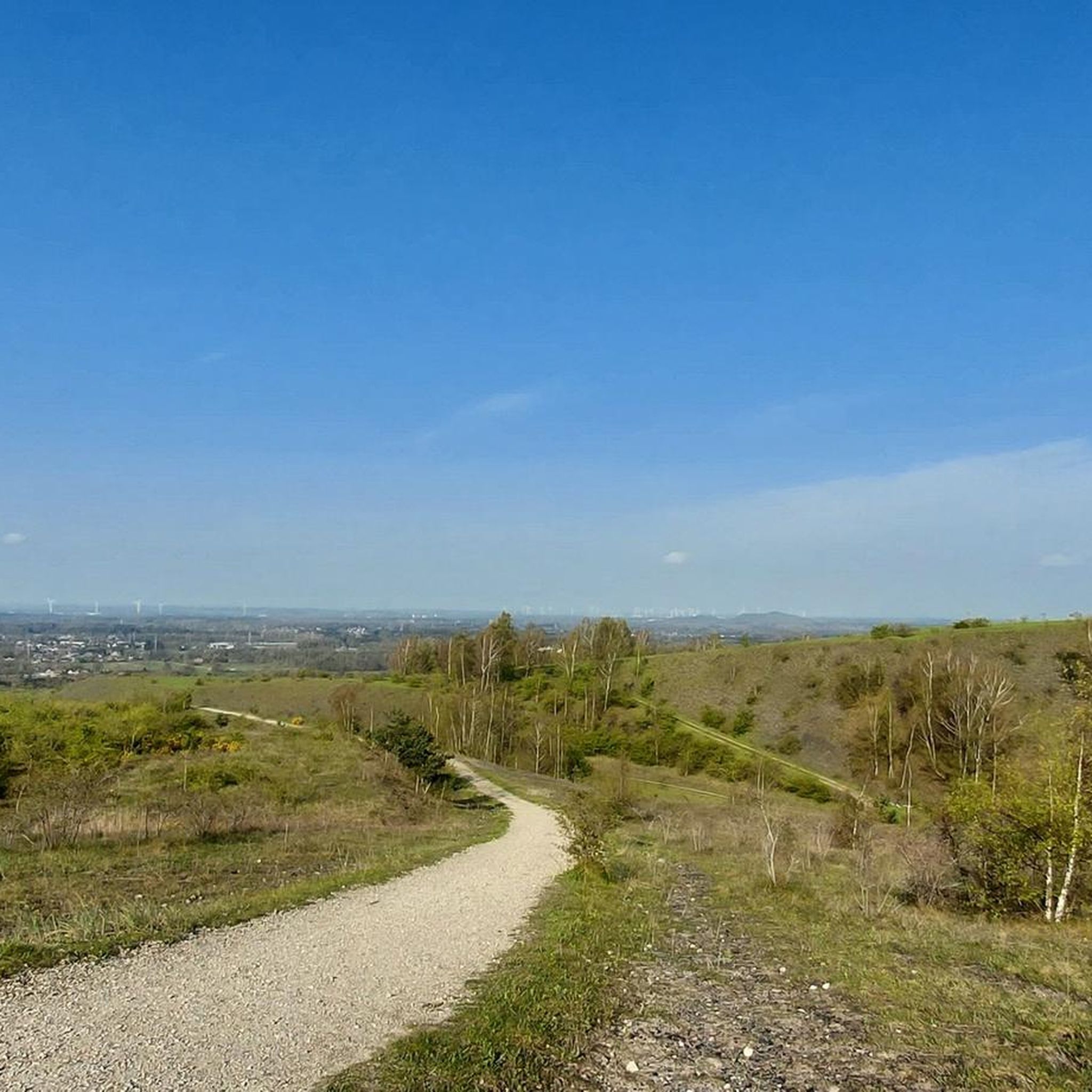
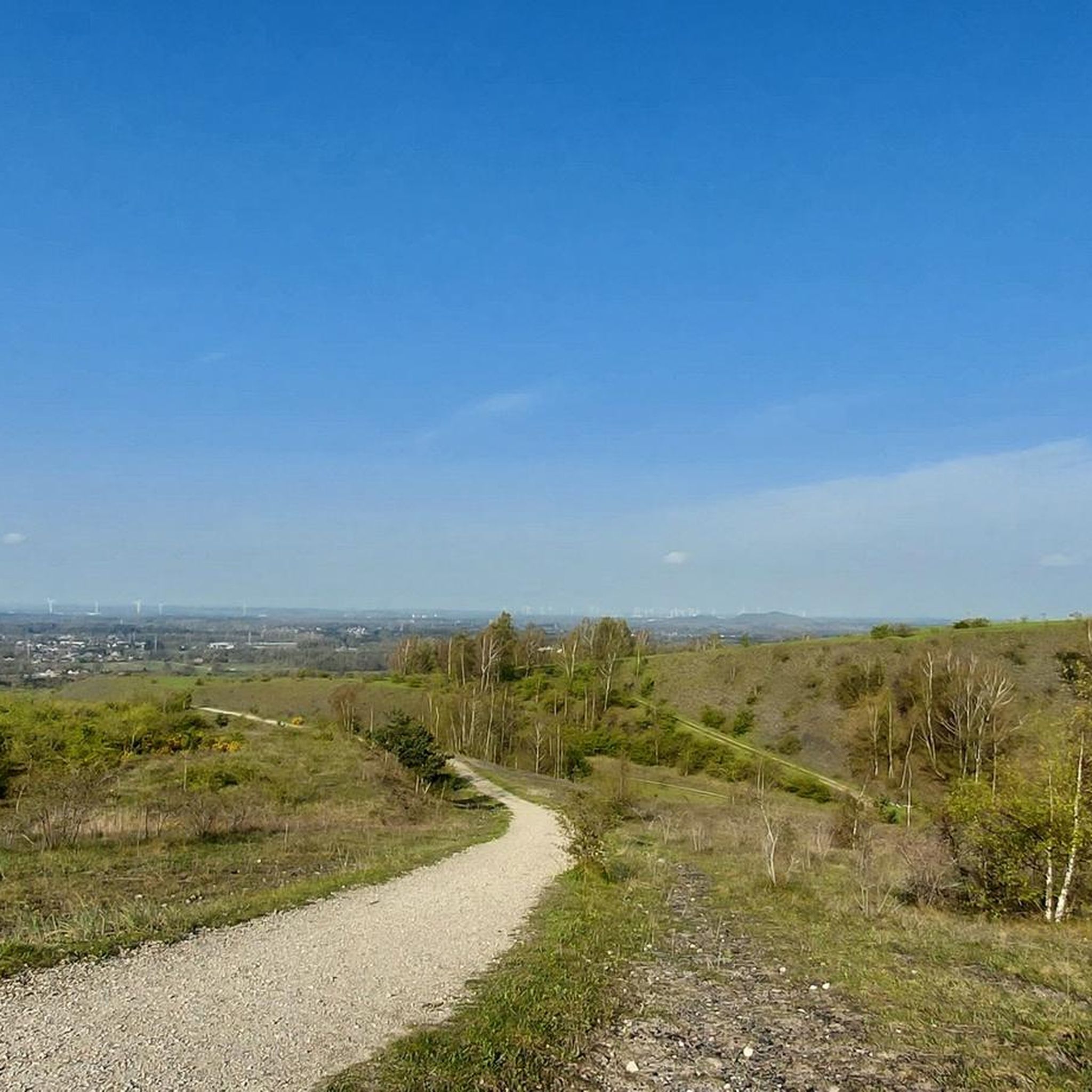
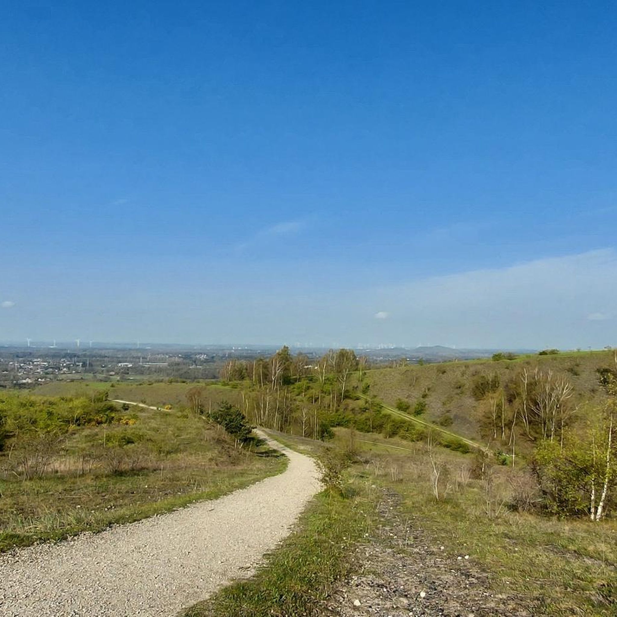
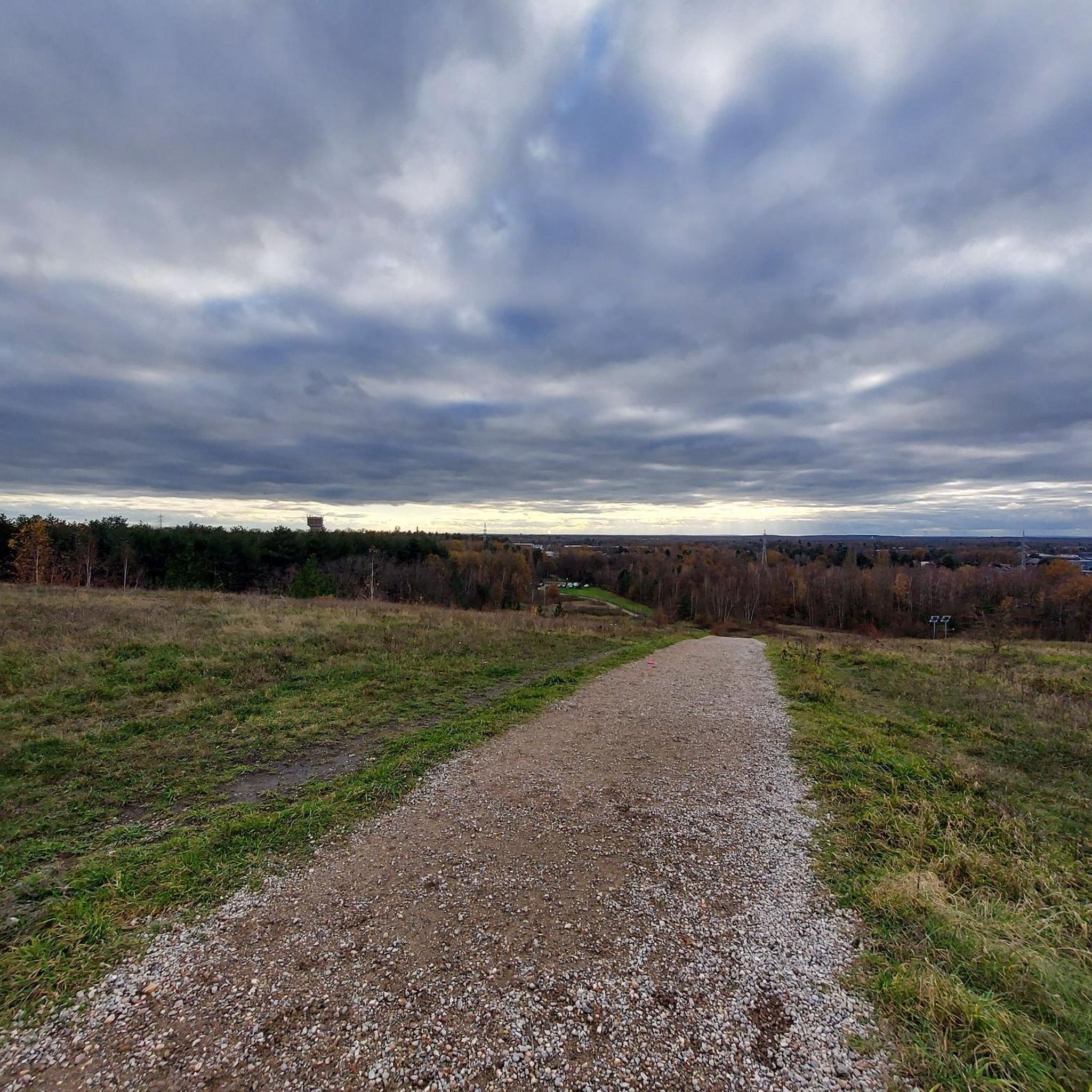
Hiking in Vlaams Natuurreservaat Helderbeek-Terril offers diverse landscapes shaped by former mining activities. The region features distinctive mine spoil tips, known as "terrils," which provide elevated viewpoints over the Limburg area. The Helderbeek valley contributes varied habitats, including forests, wetlands, and grasslands. Trails navigate through these reclaimed industrial grounds, offering a mix of terrain from gentle paths to steeper climbs on the terrils.
Best hiking trails in Vlaams Natuurreservaat Helderbeek-Terril
- The most popular hiking route is View of the Terril…
Last updated: October 7, 2026
4.2
(24)
199
hikers
Easy hike. Great for any fitness level. Easily-accessible paths. Suitable for all skill levels.
4.5
(22)
77
hikers
20.9km
05:22
90m
90m
Hard hike. Very good fitness required. Easily-accessible paths. Suitable for all skill levels.

5.0
(2)
13
hikers
Moderate hike. Good fitness required. Easily-accessible paths. Suitable for all skill levels.
4.1
(22)
199
hikers
4.06km
01:09
90m
90m
Easy hike. Great for any fitness level. Easily-accessible paths. Suitable for all skill levels.
4.0
(1)
20
hikers
Moderate hike. Good fitness required. Easily-accessible paths. Suitable for all skill levels.
Get access to more routes and recommendations from other explorers.
Already have an account?
Our route recommendations are based on thousands of hikes, rides, and runs completed by other people on komoot.
Start today with a free account
Your next adventure awaits.
Popular around Vlaams Natuurreservaat Helderbeek-Terril

Tips from the Community

This tavern is named after the high tower in the recreational area ‘t Fonteintje in Koersel-Kapelleke (Beringen). Here you can enjoy a delicious daily special or a refreshing drink in the quiet, wooded surroundings. The recreational area also features a large, attractive playground, mini-golf, a Halloween attraction, and a water play area.
0
0
The Zwarte Beek Valley contains the Zwarte Beek, which flows 35 km from its source in Hechtel to its confluence with the Demer in Diest. The entire valley, with an area of 1407 hectares, is one of Flanders' largest nature areas, of which 879 hectares are designated as protected area. The Schwarze Bach valley stretches across the municipalities of Hechtel-Eksel, Houthalen-Helchteren, Beringen, Lummen, Halen and Diest. The nature areas are spread across the stream, with five designated hiking routes.
0
0

Drasland (English: wetland) is an ecosystem in which the soil is temporarily or permanently submerged in water. The water comes from precipitation, the soil, or nearby waterways. Wetlands are rich in biodiversity and help us in the fight against climate change in various ways.
5
0
@jeroen driesen: It's because of this behavior from you cyclists that we keep hearing about "cycling terrorists." The Heusden-Zolder slag heap is a protected nature reserve, and if cycling is prohibited there, there's a good reason for it, and you shouldn't be disrupting nature there!
4
0
A fen is a natural pool in a heathland area. It is fed by groundwater or rainwater. This water is acidic, just like sandy soil. Moreover, it contains almost no nutrients. Only a few animals and plants can survive in and around fens. These are species such as damselflies and dragonflies, bell heather, sundews, and marsh clubmoss...
3
0

Beautiful view from the path of the wet zone.
5
0
The large pond next to the De Watersnip visitor center in Koersel was designated a play pond in 2023. This means the pond is considered a place where everyone can play safely in the water without the presence of lifeguards. Thanks to its play pond designation, visitors will be able to enjoy the water all summer long.
6
0

Boardwalk through an open wet area.
4
0
Frequently Asked Questions
How many hiking trails are available in Vlaams Natuurreservaat Helderbeek-Terril?
There are over 760 hiking routes in Vlaams Natuurreservaat Helderbeek-Terril, catering to various preferences and fitness levels. You'll find options ranging from easy strolls to more challenging ascents.
What kind of terrain can I expect on the hiking trails in Helderbeek-Terril?
The trails in Helderbeek-Terril offer a diverse range of terrain. You can expect well-maintained paths through forests, wetlands, and grasslands, as well as steeper, more rugged sections when climbing the distinctive mine spoil tips (terrils). The varied landscape includes peaty grasslands, swamp forests, and heathland.
Are there any viewpoints with panoramic views in the nature reserve?
Yes, the mine spoil tips, or 'terrils,' are the main attraction for panoramic views. The summit of the Heusden-Zolder spoil tip, in particular, offers exceptional vistas of the green Limburg region, including distant sights like the Lommel Sahara. You can find specific viewpoints like the Three-Star Point, Summit of Heusden-Zolder Spoil Tip and the View Indicator on Helderbeek-Terril.
What unique natural features or wildlife can I observe while hiking?
Vlaams Natuurreservaat Helderbeek-Terril is rich in biodiversity. The unique soil composition of the terrils supports special plant species, including expansive fields of white and yellow sweet clovers in summer. The area is also a valuable spot for birdwatching, with species like the nightjar, tree lark, black woodpecker, and kingfisher found in the swampy meadows of the Helderbeek valley.
Are there family-friendly hiking options in Vlaams Natuurreservaat Helderbeek-Terril?
Yes, the reserve offers many easy routes suitable for families. For example, the View of the Terril – Heusden-Zolder Mining Heap loop from Koersel is an easy 5.4 km trail that ascends one of the terrils, providing great views without being overly strenuous.
Are dogs allowed on the trails, and are there specific dog-friendly routes?
Yes, dogs are generally welcome in the reserve, often on a leash. There are specific routes designed with dogs in mind, such as the Dog Off-Leash Area loop from Heusden, which is an easy 2.7 km trail. Another option is the Dog Off-Leash Area – Heusden-Zolder Mining Heap loop from Vroegere mijnschacht 1.
What is the best time of year to go hiking in Helderbeek-Terril?
The reserve offers a unique experience throughout the year. In summer, you can enjoy fields of white and yellow sweet clovers on the terril slopes. The varied habitats, including forests and wetlands, provide beautiful scenery in spring and autumn. Even in winter, the trails can be explored, though conditions may vary.
Are there any circular hiking routes available?
Yes, many of the trails in Vlaams Natuurreservaat Helderbeek-Terril are circular, allowing you to start and end at the same point. An example is the moderate Visitor Center De Watersnip – Pond loop from Vroegere mijnschacht 1, which explores the Helderbeek valley and its diverse habitats.
Where can I park when visiting Vlaams Natuurreservaat Helderbeek-Terril?
While specific parking locations are not detailed in the guide, the presence of various starting points for routes, such as 'Koersel' and 'Vroegere mijnschacht 1,' suggests that parking facilities are available near popular access points to the reserve. It's advisable to check local signage upon arrival.
Can I reach the hiking trails using public transport?
The guide does not specify direct public transport links to every trailhead. However, for general visitor information about the various nature reserves in the area, you can visit the 'De Watersnip' visitor center, which may offer guidance on accessibility.
What do other hikers enjoy most about hiking in Vlaams Natuurreservaat Helderbeek-Terril?
The area is highly rated by the komoot community, with an average score of 4.4 stars from over 6,000 reviews. Reviewers often praise the diverse landscapes, the unique experience of hiking on former mine spoil tips, and the panoramic views from the terrils. The variety of trails, from easy to challenging, is also frequently highlighted.
Are there any longer, more challenging hikes for experienced hikers?
Yes, for those seeking a more demanding experience, there are longer and more difficult routes. The View of the Terril – Forest walking trail loop from Vroegere mijnschacht 1 is a difficult 20.5 km trail that leads through varied forest and terril landscapes, typically taking over 5 hours to complete.
Most popular routes in Vlaams Natuurreservaat Helderbeek-Terril
Most popular attractions in Vlaams Natuurreservaat Helderbeek-Terril

Get inspired with the komoot mobile app


Explore more
Browse the best Hikes in other regions.
