The best MTB trails in Dunbergbroek (Hagelandse Vallei)
4.4
(1045)
12,665
riders
334
rides
Mountain biking in Dunbergbroek (Hagelandse Vallei) offers diverse landscapes, from wet areas and mixed forests to the scenic Diestian hills. This region acts as a transitional zone between the sandy Kempen and loamy Brabant areas, providing varied terrain for riders. The Winge river valley, where Dunbergbroek is situated, contributes to the ecological richness and unique flora found along many routes. The area features both flat river valleys and challenging hills, catering to different skill levels.
Best mountain bike trails in…
Last updated: October 11, 2026
36
riders
76.5km
05:37
760m
760m
Hard mountain bike ride. Very good fitness required. Advanced riding skills necessary.
10
riders
Easy mountain bike ride. Great for any fitness level. Suitable for all skill levels.

6
riders
Moderate mountain bike ride. Great for any fitness level. Advanced riding skills necessary.
5.0
(1)
9
riders
17.7km
01:07
110m
110m
Easy mountain bike ride. Great for any fitness level. Suitable for all skill levels.
3
riders
12.0km
00:58
140m
140m
Moderate mountain bike ride. Great for any fitness level. Advanced riding skills necessary.
Get access to more routes and recommendations from other explorers.
Already have an account?
Our route recommendations are based on thousands of hikes, rides, and runs completed by other people on komoot.
Start today with a free account
Your next adventure awaits.
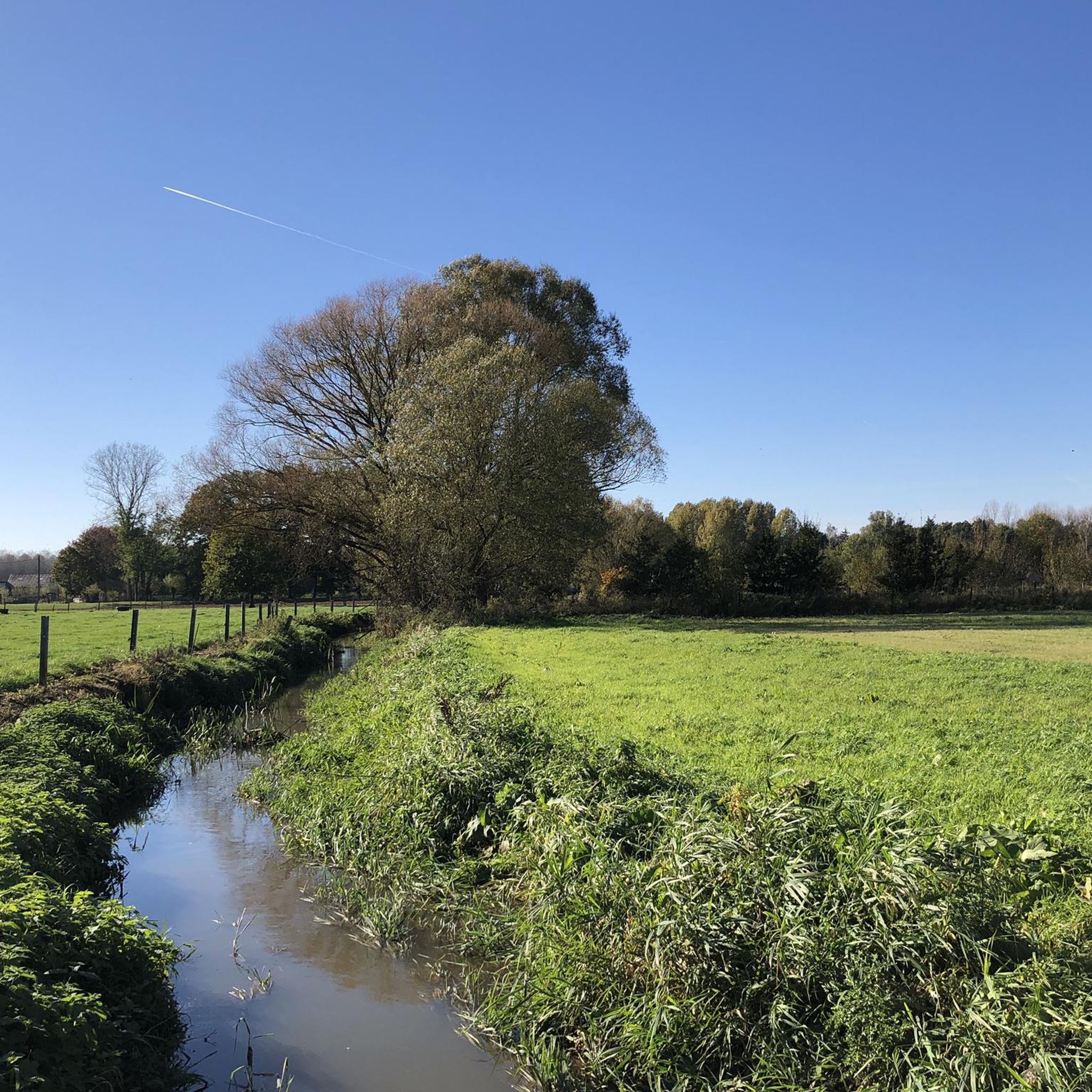
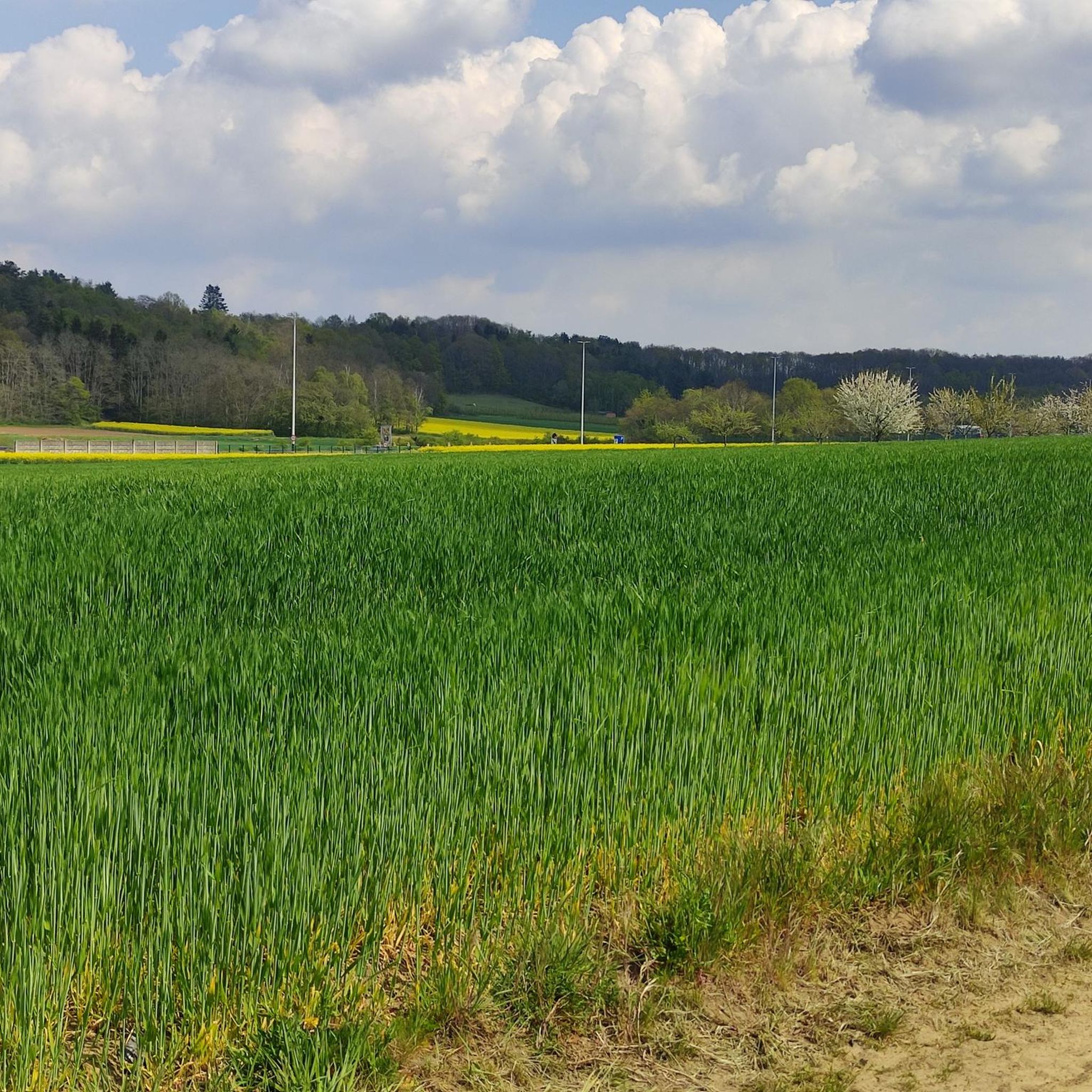
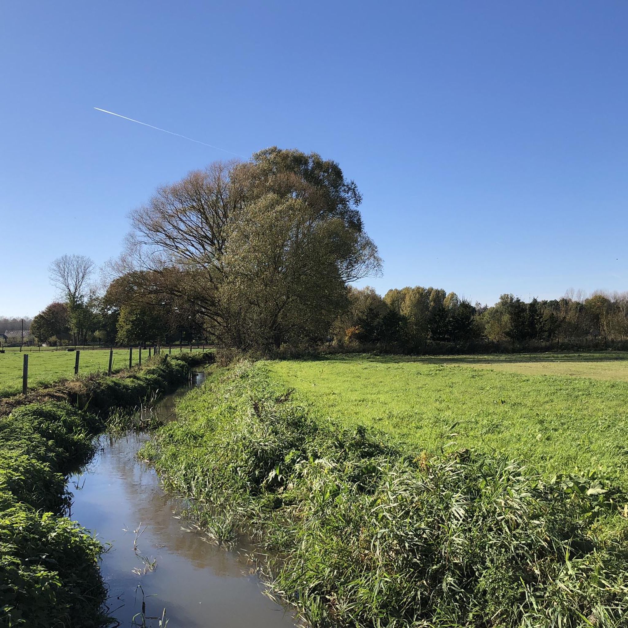
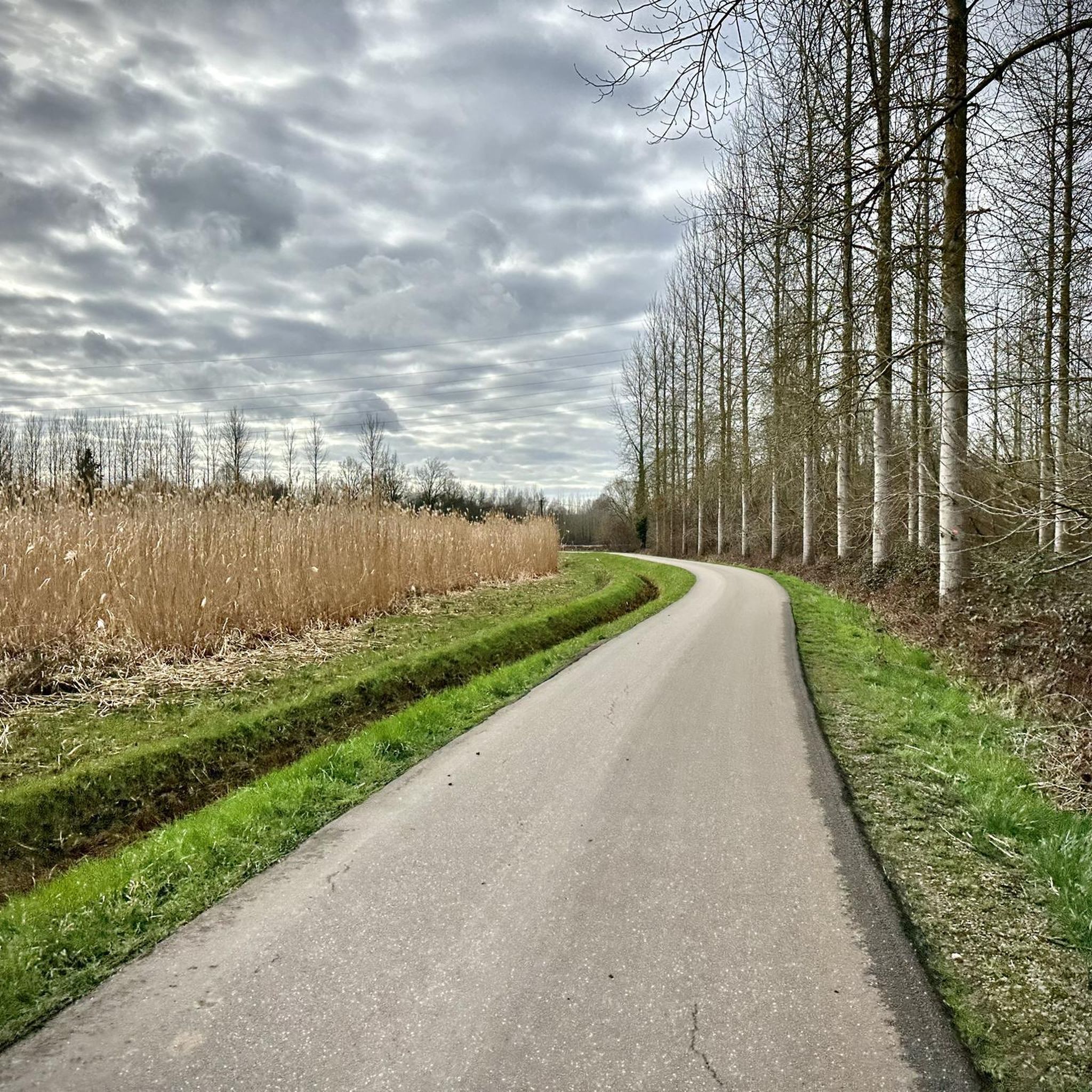
Tips from the Community

The path that appears open on komoot is now closed and private (2026)
0
0
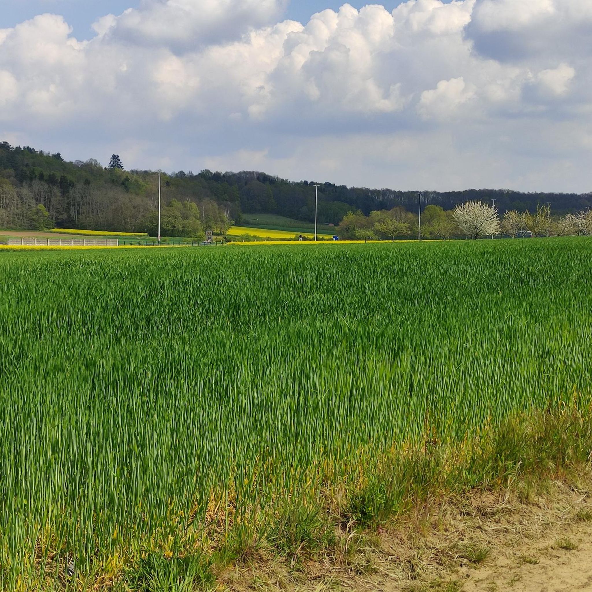
Amazing path, at the end of the descent it's really beautiful with flowers everywhere
0
0

Wide path between fields and orchards.
0
0

Beautiful beech forest as the start and end point of our walk.
0
0


No problem to cycle this unpaved strip
0
0

The core of Horst Castle probably dates back to the 13th century and is characterised by a square keep. The keep probably belonged to the oldest core that was further expanded into a fortified castle in the 15th century. During the troubles under Maximilian of Austria in 1489, the castle of Horst was taken by the people of Leuven and set on fire. According to literary sources, only the keep, part of the entrance gate and a defensive wall remained standing. The residential and east wing were renovated and expanded in the 16th century. The round tower also dates from this period. The outer wall was provided with a rectangular bay window. The castle lost its military character and became more of a pleasant residential area with a view of the moat, the ponds and the inner courtyard. Brick construction with sandstone layers characterise these buildings. In 1587, however, the castle was set on fire again during the raids of the Geuzen. It was not until the beginning of the 17th century that restoration work began. It is difficult to deduce from the available sources to what extent this involved restoration or an embellishing conversion of the castle complex. Presumably nothing changed in the internal structure, but only after the structurally necessary repairs were the interiors completely refinished. Maria-Anna Van den Tympel had a new chapel built against the keep in the 17th century. At the beginning of the 19th century, the complex must have been damaged by plundering and neglect, and it is possible that it also suffered from plundering during the Brabant Revolution of 1830. Around 1850, the castle must have been habitable again, but the castle buildings only served as a farm. In the land registry, the site around the castle is called "De Notelaren Boomgaerd". Around that time, the most dilapidated part must have been demolished, namely the southern part and the superstructure of the gate. The rest of the complex was probably restored with reused demolition material and in traditional style. The castle was divided in 1880, with one part being registered as a school house. In 1897, a further division followed, with two plots being designated as houses. Several restoration campaigns followed in the 20th century. Inventory of Immovable Heritage: Horst Castle, https://id.erfgoed.net/erfgoedobjecten/43619
8
0
Since December, there has been a spire on the castle again after the unstable spire was removed more than four years ago and could be viewed on a wooden platform in the pond. Now it is back. And the other works are also progressing quickly. More about the replaced spire on https://www.vrt.be/vrtnws/nl/2024/12/10/torenspits-staat-weer-op-kasteel-van-horst-holsbeek/
8
0
Frequently Asked Questions
How many mountain bike trails are available in Dunbergbroek (Hagelandse Vallei)?
There are over 340 mountain bike trails in Dunbergbroek (Hagelandse Vallei), offering a wide range of options for different skill levels and preferences. The komoot community has explored these varied terrains over 14,000 times.
What kind of terrain can I expect on the mountain bike trails in Dunbergbroek (Hagelandse Vallei)?
The region offers diverse landscapes, from wet areas and mixed forests to the scenic Diestian hills. As a transitional zone between the sandy Kempen and loamy Brabant regions, you'll find varied terrain including both flat river valleys and challenging hills. The Dunbergbroek Singletrack is a notable flat, winding route along a meandering river.
What do other mountain bikers enjoy most about the trails in Dunbergbroek (Hagelandse Vallei)?
The trails in Dunbergbroek (Hagelandse Vallei) are highly rated by the komoot community, with an average score of 4.4 stars from over 900 reviews. Riders often praise the diverse landscapes, the mix of forests and open areas, and the variety of routes catering to different skill levels.
Are there mountain bike trails suitable for beginners in Dunbergbroek (Hagelandse Vallei)?
Yes, there are approximately 58 easy mountain bike trails in the area. An example of a more accessible route is the Singletrack Along the Forest loop from Kortrijk-Dutsel, which is just over 10 km long with minimal elevation gain.
Are there challenging mountain bike trails for experienced riders?
Yes, for experienced riders seeking a challenge, there are 23 difficult mountain bike trails. These routes often feature more significant elevation changes and technical sections. One such route is the Hollow mountain path Houwaartseberg – Steady Climb loop from Kortrijk-Dutsel, which covers 25.2 km with over 240 meters of ascent.
Are there any circular mountain bike routes in Dunbergbroek (Hagelandse Vallei)?
Many of the mountain bike trails in Dunbergbroek (Hagelandse Vallei) are designed as loops, allowing you to start and finish at the same point. For instance, the Horebeekstraat Unpaved Path – View of the Hageland Hills loop from Kortrijk-Dutsel is an 8.4-mile circular path offering scenic views.
What natural features or landmarks can I see along the mountain bike trails?
The trails often pass through areas of rich ecological variety, including wet areas and mixed forests. You might encounter the Winge river valley, known for its unique flora like wood anemones in spring, and diverse wildlife. Historical sites such as the Uithemmolen Watermill and old bomb craters (now teeming with life) are also points of interest. Don't miss the wood anemones in Dunbergbroek during springtime.
Is Dunbergbroek (Hagelandse Vallei) suitable for family mountain biking?
Yes, the region offers several easy and moderate trails that are suitable for families. The varied terrain includes flatter sections along river valleys, which can be less strenuous for younger riders. Consider routes like the Through the Hageland Valley - Mountain biking around Leuven, an easy 27 km route that can be adapted for family outings.
Are dogs allowed on the mountain bike trails in Dunbergbroek (Hagelandse Vallei)?
While many natural areas in Belgium are dog-friendly, it's always best to check local regulations for specific trails or nature reserves within Dunbergbroek (Hagelandse Vallei). Generally, dogs are permitted on a leash, but some sensitive ecological areas might have restrictions. Always ensure your dog is under control and clean up after them.
Are there places to stop for a picnic or rest along the trails?
Yes, there are designated spots for resting and picnicking. A notable location is the Picnic Spot by the Winge with Kingfisher Information, which offers a charming area along the Winge river with informative panels about local wildlife.
What is the best time of year to go mountain biking in Dunbergbroek (Hagelandse Vallei)?
Spring and autumn are generally ideal for mountain biking in Dunbergbroek (Hagelandse Vallei). In spring, the Winge Valley is particularly beautiful with extensive carpets of wood anemones. Autumn offers pleasant temperatures and vibrant foliage. Summers can be warm, while winters might bring muddy conditions, especially in the wet areas of the valley.
Where can I find parking near the mountain bike trails?
Specific parking information varies by trailhead. Many routes start from villages like Kortrijk-Dutsel, where local parking facilities are often available. It's advisable to check the starting point of your chosen komoot tour for detailed parking suggestions.
Is it possible to reach the mountain bike trails using public transport?
Public transport options to the Dunbergbroek (Hagelandse Vallei) region exist, primarily via bus services connecting to nearby towns and villages. From these points, you may need to cycle a short distance to reach specific trailheads. Planning your route on komoot can help identify accessible starting points.
Most popular routes in Dunbergbroek (Hagelandse Vallei)
Most popular attractions in Dunbergbroek (Hagelandse Vallei)

Get inspired with the komoot mobile app


Explore more
Browse the best MTB trails in other regions.
