The best walks and hikes in Wakenitzniederung
4.6
(6137)
28,828
hikers
14
hikes
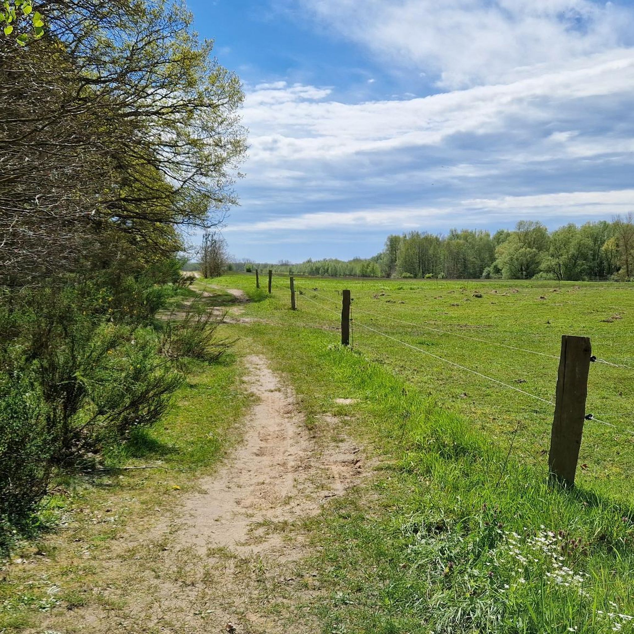
Hiking trails in Wakenitzniederung traverse a low-lying river valley characterized by wetlands, forests, and the Wakenitz River itself, which connects to Lake Ratzeburg. The terrain is generally flat, with minimal elevation changes, making it accessible for various activity levels. The region features a network of paths alongside waterways and through natural areas, offering opportunities to experience the local flora and fauna.
Best hiking trails in Wakenitzniederung
- The most popular hiking route is Weather mushroom at the parking lot – Duvennester…
Last updated: October 11, 2026
5.0
(4)
14
hikers
Easy hike. Great for any fitness level. Easily-accessible paths. Suitable for all skill levels.
5.0
(3)
19
hikers
4.42km
01:07
10m
10m
Easy hike. Great for any fitness level. Easily-accessible paths. Suitable for all skill levels.

4.7
(3)
21
hikers
11.3km
02:51
10m
10m
Moderate hike. Good fitness required. Easily-accessible paths. Suitable for all skill levels.
11
hikers
Easy hike. Great for any fitness level. Easily-accessible paths. Suitable for all skill levels.
4.0
(1)
9
hikers
12.0km
03:04
40m
40m
Moderate hike. Good fitness required. Easily-accessible paths. Suitable for all skill levels.
Get access to more routes and recommendations from other explorers.
Already have an account?
Our route recommendations are based on thousands of hikes, rides, and runs completed by other people on komoot.
Start today with a free account
Your next adventure awaits.
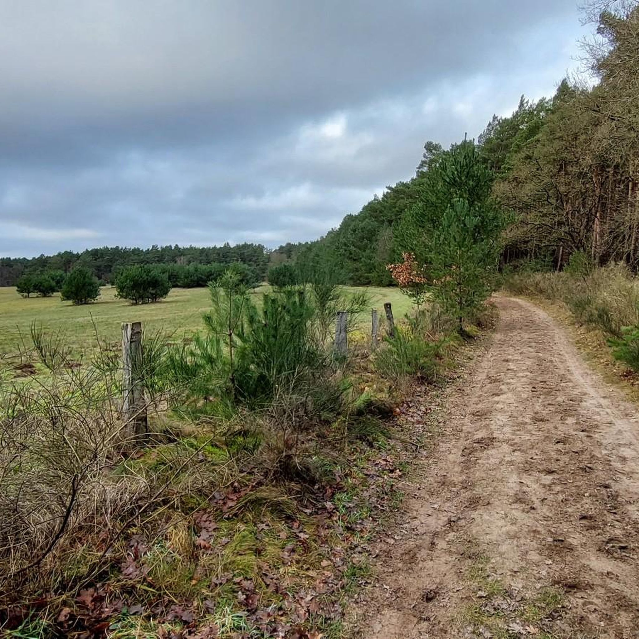
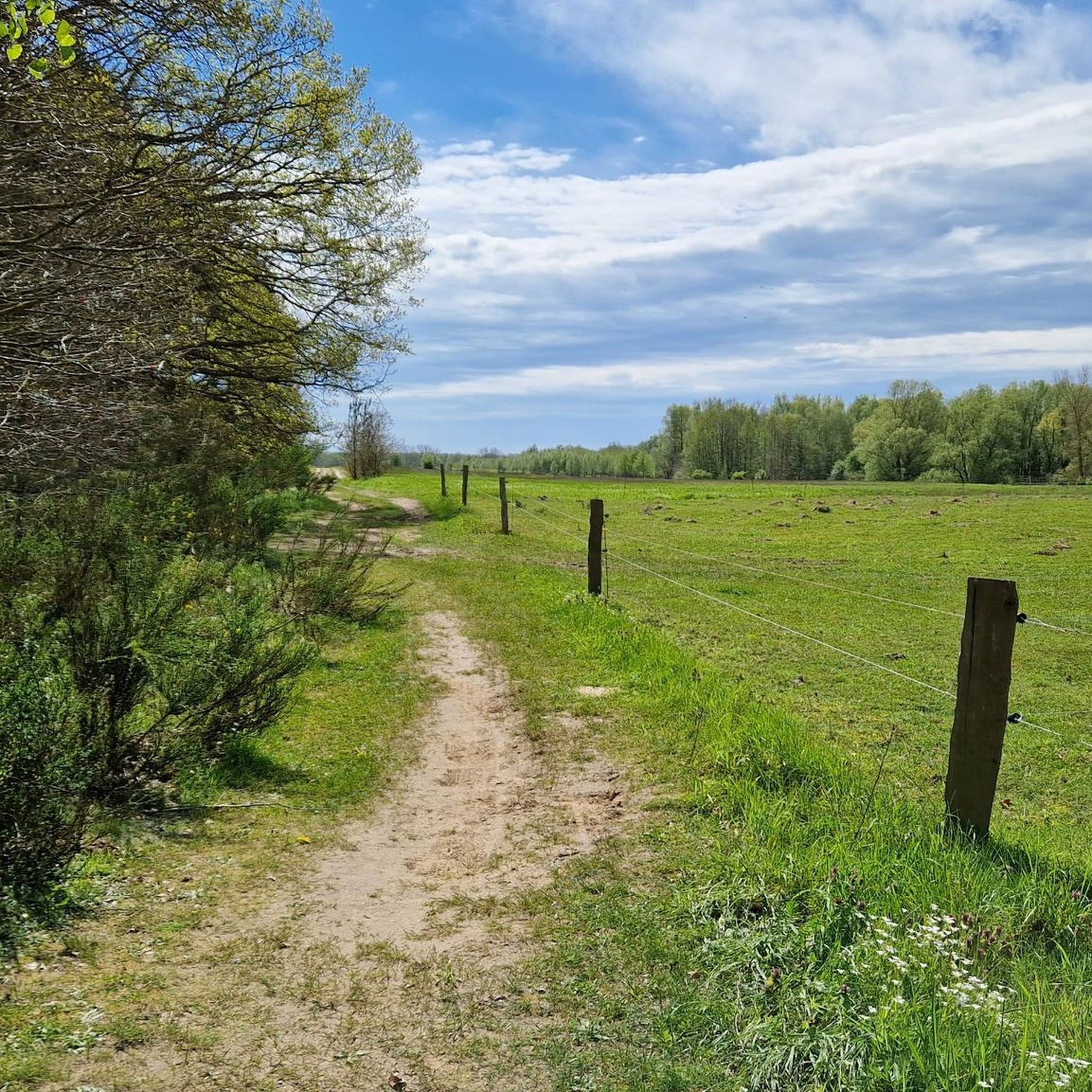
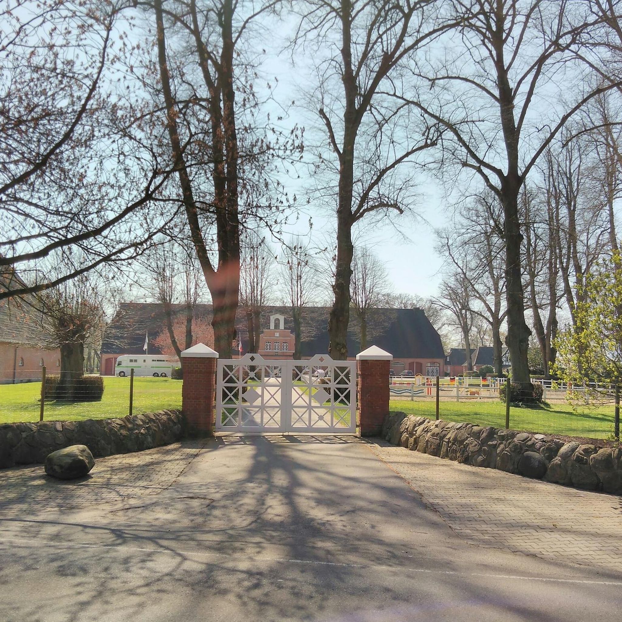
Tips from the Community

Pretty brick building on the edge of the forest
1
0

Located on the Wakenitz River, this canoe rental station offers a variety of boats for rent. There's also a small cafe, a camping area, sleeping barrels, and small cabins for overnight stays. It's also a great place to stop overnight during a cycling trip. Info: https://www.kanu-center.de/wakenitz-camp/
2
0

Right at the entrance is a large panel that tells you all about the nature and history of the Duvenester Moor.
2
0
A large covered seating area that's ideal for a break, but you can also seek shelter from the rain here.
2
0

The outlet of the Wakenitz from Lake Ratzeburg is a lovely place to linger. It is ideal for setting out with boats or SUPs. The water is crystal clear. There is also a canoe club here, some of which provide refreshments.
0
0

The Wakenitz is a right tributary of the Trave in southeastern Schleswig-Holstein, which drains Lake Ratzeburg and is about 14.9 kilometers long. The chronicler Helmold von Bosau mentions it in the middle of the 12th century in his Chronica Slavorum under the names wochniza or wochenice.
0
0
Frequently Asked Questions
How many hiking trails are available in Wakenitzniederung?
Wakenitzniederung offers a selection of 15 hiking trails. The majority of these, 13 routes, are classified as easy, making the area accessible for various activity levels.
Are there easy hiking trails suitable for beginners in Wakenitzniederung?
Yes, Wakenitzniederung is ideal for beginners and those seeking easy walks. Out of 15 available routes, 13 are rated as easy. A popular choice is the Weather mushroom at the parking lot – Duvennester Bog loop from Wakenitzniederung, an easy 2.5-mile (4.0 km) trail that takes about 1 hour to complete.
Can I find circular hiking routes in Wakenitzniederung?
Many of the trails in Wakenitzniederung are designed as circular routes, allowing you to start and end at the same point. For example, the Falkenhusen Farm Shop – Absalonshorst Country House loop from Wakenitzniederung is an easy 2.7-mile (4.4 km) path that explores rural landscapes.
What kind of landscapes can I expect to see while hiking in Wakenitzniederung?
Hiking in Wakenitzniederung takes you through a low-lying river valley, characterized by wetlands, forests, and the Wakenitz River itself. You'll experience riverine landscapes, tranquil bogs like the Duvennester Bog, and sections along Lake Ratzeburg, offering diverse natural scenery.
Are there any specific points of interest or attractions along the trails?
Yes, Wakenitzniederung features several points of interest. You can explore the historic Wakenitz River (former border river), discover the Lenschow Memorial Stone, or visit the Nandu Observation Near Utecht and Schattin for unique wildlife viewing opportunities. The area also includes natural monuments like Former inland dunes in Wakenitzniederung.
Is Wakenitzniederung suitable for family hikes?
Yes, Wakenitzniederung is well-suited for family hikes due to its generally flat terrain and minimal elevation changes. The abundance of easy routes, such as the 2.5-mile (4.0 km) Weather mushroom at the parking lot – Duvennester Bog loop from Wakenitzniederung, makes it accessible for children and families looking for a pleasant outdoor experience.
Are dogs allowed on the hiking trails in Wakenitzniederung?
Generally, dogs are welcome on hiking trails in Wakenitzniederung. However, as it is a natural area with sensitive ecosystems and wildlife, it is important to keep dogs on a leash, especially in designated nature protection zones, and to clean up after them. Always respect local signage.
Where can I park when visiting Wakenitzniederung for a hike?
Parking is available at various points around Wakenitzniederung. A notable parking area is the Parking Area Herrnburger Binnendüne and Duvennester Moor, which serves as a convenient starting point for exploring the bogs and dunes.
What is the best time of year to go hiking in Wakenitzniederung?
Wakenitzniederung offers pleasant hiking experiences throughout much of the year. Spring brings blooming flora, summer provides lush greenery, and autumn showcases vibrant foliage. The flat terrain also makes it suitable for winter walks, though conditions may vary.
What do other hikers say about their experience in Wakenitzniederung?
The komoot community highly rates Wakenitzniederung, with an average score of 4.6 stars from over 4,900 reviews. Hikers often praise the tranquil riverine landscapes, the well-maintained paths, and the opportunities for nature observation, highlighting the area's peaceful and accessible trails.
Are there opportunities for wildlife spotting in Wakenitzniederung?
Wakenitzniederung, with its wetlands and forests, is a rich habitat for various wildlife. Birdwatching is popular, and you might even spot unique species like the Nandu at the Nandu Observation Near Utecht and Schattin. The diverse ecosystem provides ample opportunities for nature observation.
What are the conditions for winter hiking in Wakenitzniederung?
Winter hiking in Wakenitzniederung is generally possible due to the flat terrain. Trails are usually accessible, but conditions can vary with snow and ice. It's advisable to wear appropriate footwear and check local weather forecasts before heading out. The quiet winter landscape offers a unique, serene experience.
Most popular routes in Wakenitzniederung
Most popular attractions in Wakenitzniederung

Get inspired with the komoot mobile app


Explore more
Browse the best Hikes in other regions.
