The best walks and hikes in Unterlauf Der Krainke
4.6
(352)
1,094
hikers
92
hikes
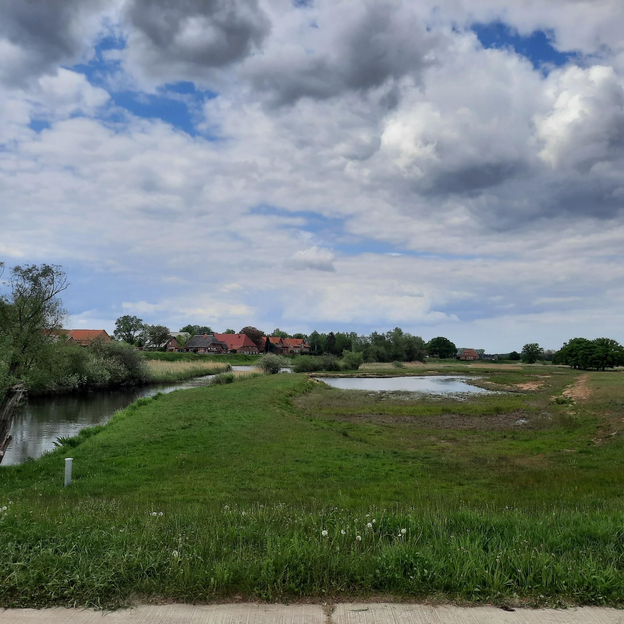
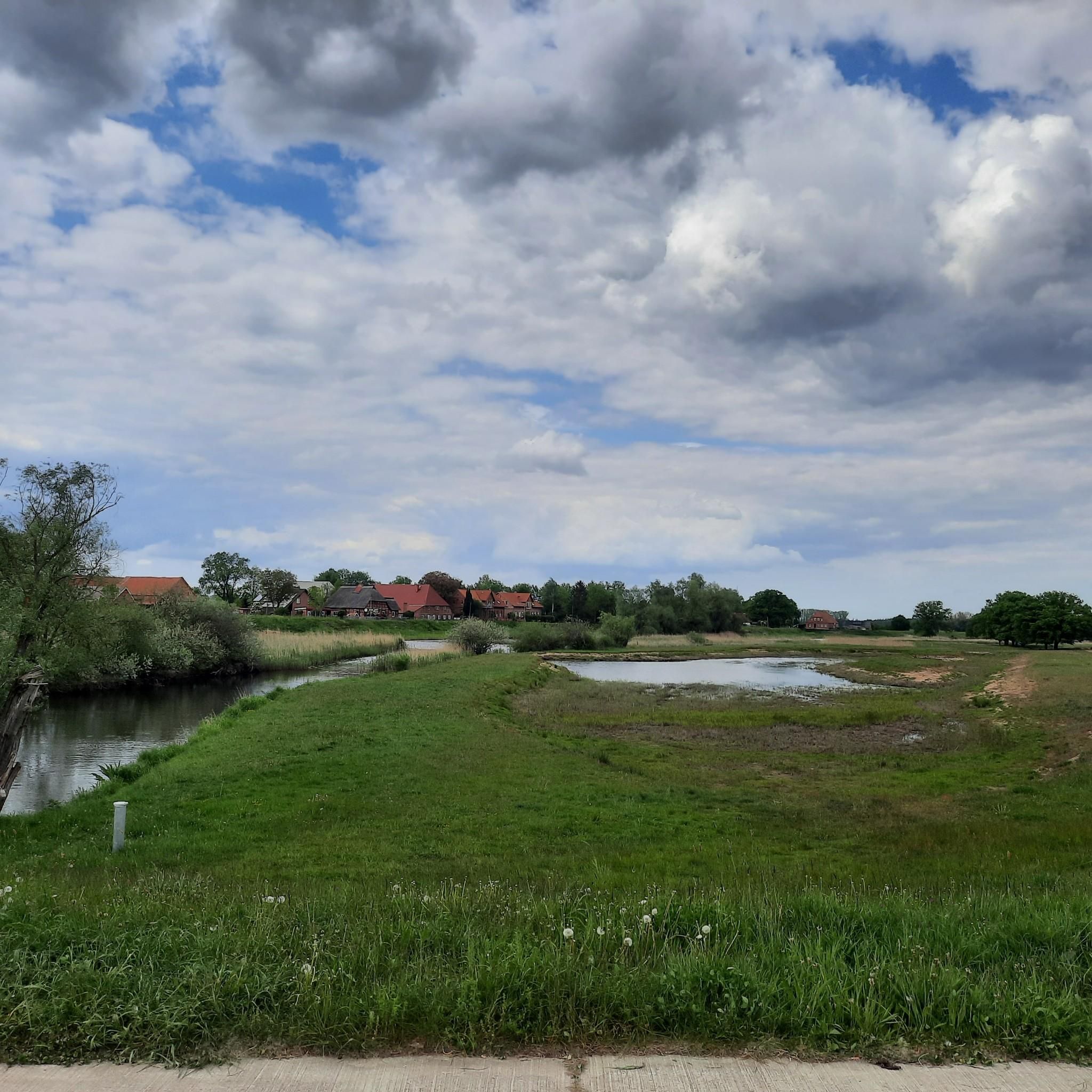
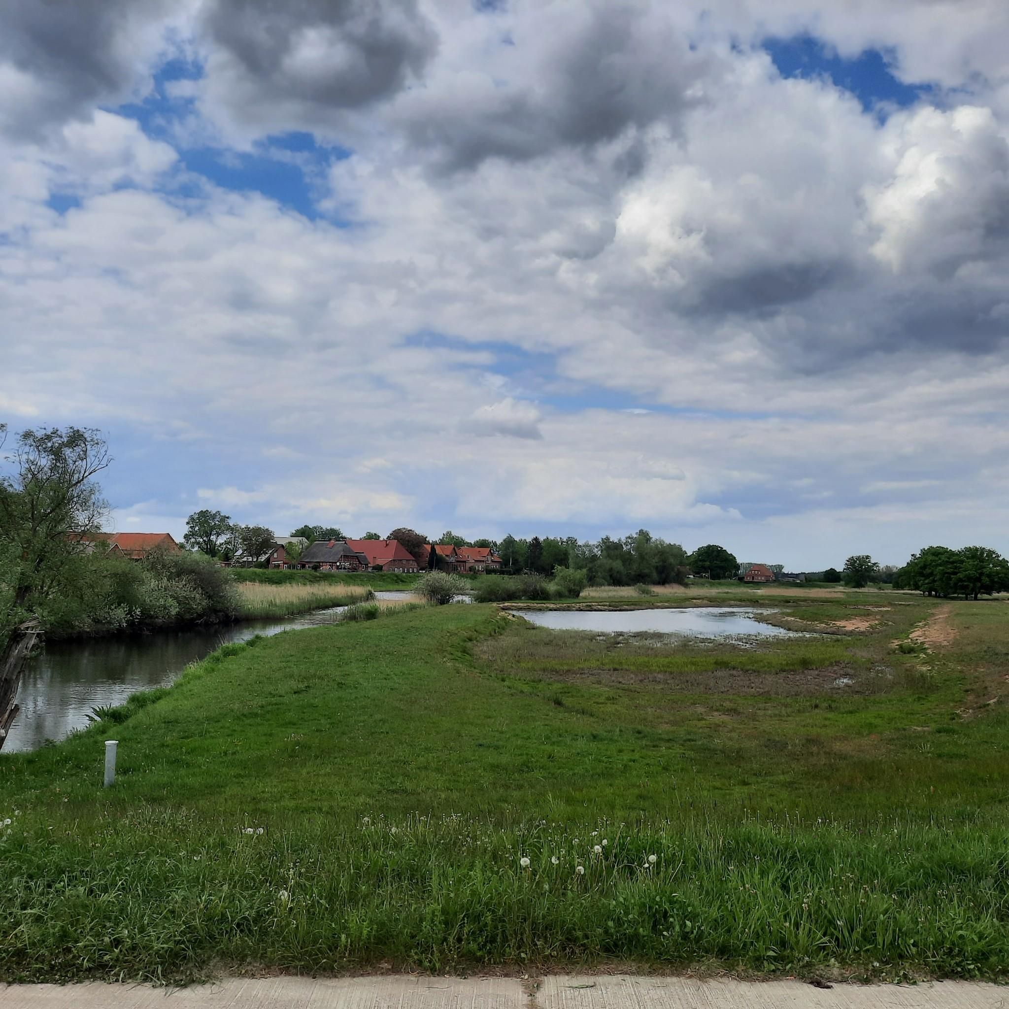
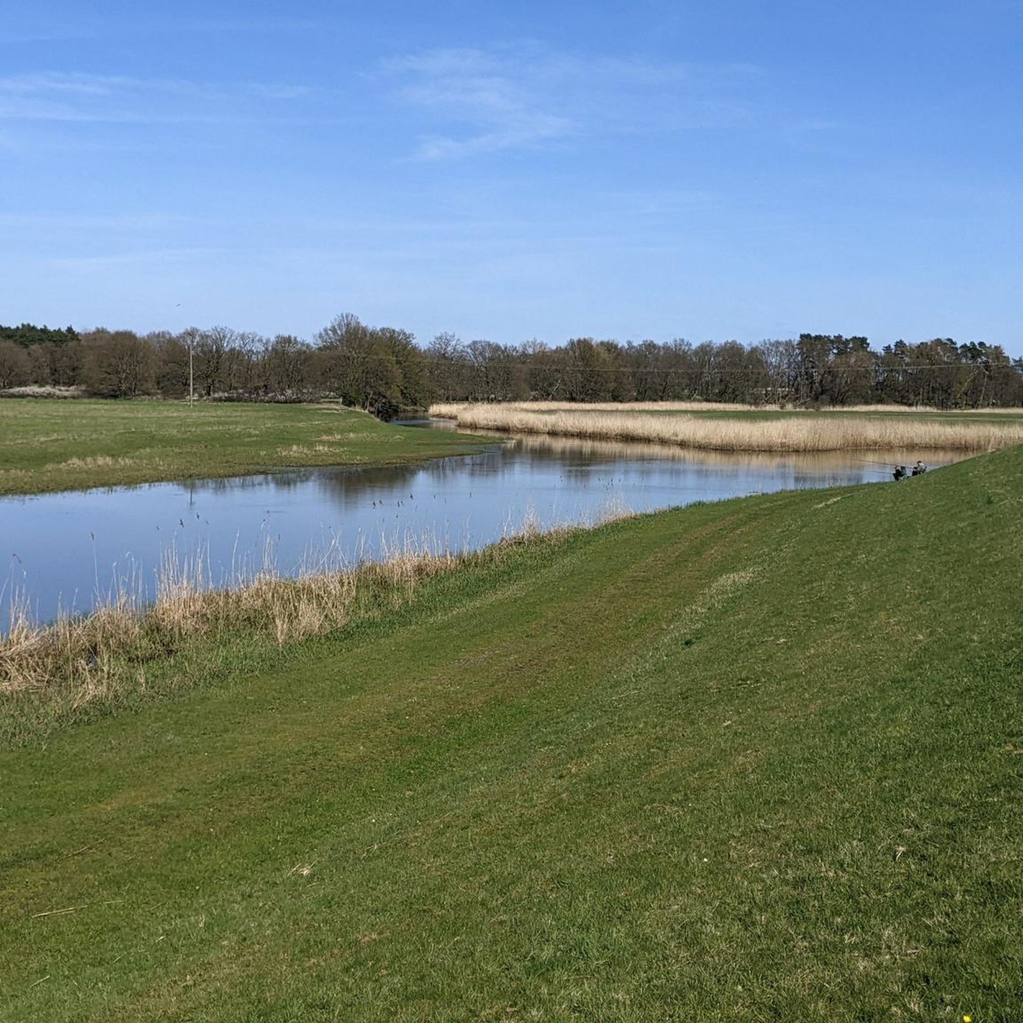
Hiking trails in Unterlauf Der Krainke traverse a diverse landscape shaped by the meandering Krainke river, a tributary of the Sude. The region is characterized by extensive lowlands, wetlands, and remnants of historical dikes, all within the Biosphere Reserve Niedersächsische Elbtalaue. Hikers encounter a mix of dry biotopes and water-rich habitats, providing varied terrain and ecological richness.
Best hiking trails in Unterlauf Der Krainke
- The most popular hiking route is Niendorf Weir loop from Preten, a 7.5 miles (12.1…
Last updated: October 1, 2026
4.6
(27)
87
hikers
12.1km
03:03
20m
20m
Moderate hike. Good fitness required. Easily-accessible paths. Suitable for all skill levels.
5.0
(6)
13
hikers
8.10km
02:03
20m
20m
Moderate hike. Good fitness required. Easily-accessible paths. Suitable for all skill levels.

5.0
(7)
14
hikers
7.12km
01:48
10m
10m
Easy hike. Great for any fitness level. Easily-accessible paths. Suitable for all skill levels.
5.0
(5)
12
hikers
9.63km
02:26
20m
20m
Moderate hike. Good fitness required. Easily-accessible paths. Suitable for all skill levels.
2
hikers
3.36km
00:51
0m
0m
Easy hike. Great for any fitness level. Easily-accessible paths. Suitable for all skill levels.
Get access to more routes and recommendations from other explorers.
Already have an account?
Our route recommendations are based on thousands of hikes, rides, and runs completed by other people on komoot.
Start today with a free account
Your next adventure awaits.
Tips from the Community

Not a tower, but rather a viewing platform that offers beautiful views of the meadows along the Krainke
0
0
Seating area with barbecue directly on the shore
0
0
Unfortunately the Storchenkate is closed
0
0
Beautiful reuse of the old Preten train station - unfortunately only open on weekends
0
0
Unfortunately the information center is closed
0
0
Idyllic crossing of the Sude - unfortunately the old bridge is closed due to renovation work
0
0

Coffee at the Black Sheep
0
0
Frequently Asked Questions
What is the typical hiking terrain like in Unterlauf Der Krainke?
The terrain in Unterlauf Der Krainke is primarily characterized by its meandering river paths along the Krainke, extensive lowlands, and wetlands. You'll often find yourself walking on remnants of historical dikes, which provide elevated paths through diverse habitats. The landscape features a mix of dry biotopes and water-rich areas, offering varied ground underfoot.
Are there hiking trails for all skill levels in Unterlauf Der Krainke?
Yes, Unterlauf Der Krainke offers a range of trails suitable for various fitness levels. Out of 88 available routes, you'll find 38 easy trails, 47 moderate trails, and a few more challenging options. This ensures there's something for everyone, from leisurely strolls to more demanding hikes.
What natural features can I expect to see while hiking in this region?
Hikers in Unterlauf Der Krainke can expect to encounter a rich variety of natural features. The region is defined by the Krainke river, its floodplains, and wetlands. You'll see historical dikes, diverse ecological zones, and a mix of dry and wet biotopes. The area is part of the Biosphere Reserve Niedersächsische Elbtalaue, highlighting its unspoiled natural environment.
Are there any specific landmarks or viewpoints along the trails?
Yes, several points of interest enhance the hiking experience. You can visit the Niendorf Sluice and Weir, which offers scenic views. The Dike Path Niendorf–Preten is a well-maintained route along the Krainke. For panoramic views of the Krainke meadows, consider stopping at the Heinz Sielmann Kiekut Observation Platform.
Can I see wildlife during my hike in Unterlauf Der Krainke?
Absolutely. The diverse habitats of Unterlauf Der Krainke, including its wetlands and riverine landscapes, support a rich biodiversity. You might spot various fish, amphibians, grasshoppers, and mammals like beavers and otters. The area is also significant for birdwatching, with species such as lapwings, snipes, red kites, garganeys, and cranes, making it important for both breeding and migratory birds.
Are there circular hiking routes available in Unterlauf Der Krainke?
Yes, many of the trails in Unterlauf Der Krainke are designed as circular routes, allowing you to start and end at the same point. For example, the Old Plum Orchard – Storchenkate Neuhaus (Elbe) loop from Preten is a moderate 9.7 km trail, and the Storchenkate Neuhaus (Elbe) loop from Preten offers an easier 3.4 km option.
Is there parking available near the trailheads?
While specific parking locations are not detailed for every trailhead, hiking areas within natural reserves like Unterlauf Der Krainke typically have designated parking areas at common starting points or nearby villages to accommodate visitors. It's advisable to check local signage upon arrival.
When is the best time of year to go hiking in Unterlauf Der Krainke?
The tranquil riverine landscape of Unterlauf Der Krainke is enjoyable throughout much of the year. Spring and autumn offer pleasant temperatures and beautiful scenery, with spring bringing blooming flora and autumn showcasing vibrant foliage. Summer is also suitable, though it can be warmer. Winter hikes are possible, but some paths might be muddy or icy, especially in wetland areas.
Are the hiking trails in Unterlauf Der Krainke suitable for families with children?
Yes, many trails are suitable for families. With 38 easy routes available, you can find shorter, less strenuous options that are perfect for children. The diverse natural features and opportunities for wildlife spotting can make for an engaging family outing. The Niendorf Weir – Storchenkate Neuhaus (Elbe) loop from Preten, an easy 7.1 km trail, is a good example of a family-friendly option.
Are dogs allowed on the hiking trails in Unterlauf Der Krainke?
Generally, dogs are welcome on hiking trails in natural areas like Unterlauf Der Krainke, especially if kept on a leash. As the region is part of a Biosphere Reserve and home to diverse wildlife, keeping dogs leashed helps protect the local ecosystem and ensures a pleasant experience for all visitors. Always check for specific local regulations or signage at trailheads.
What do other hikers say about the trails in Unterlauf Der Krainke?
The trails in Unterlauf Der Krainke are highly regarded by the komoot community, holding an impressive average rating of 4.7 stars from over 300 reviews. Hikers often praise the tranquil riverine scenery, the well-maintained paths along the dikes, and the rich opportunities for observing nature and wildlife in this peaceful region.
How many hiking trails are there in Unterlauf Der Krainke?
There are 88 hiking trails available for exploration in Unterlauf Der Krainke, offering a wide variety of distances and difficulties to suit different preferences and fitness levels.
Most popular routes in Unterlauf Der Krainke
Most popular attractions in Unterlauf Der Krainke

Get inspired with the komoot mobile app


Explore more
Browse the best Hikes in other regions.
