The best running trails in Truper Blänken
4.4
(1332)
28,477
runners
686
runs
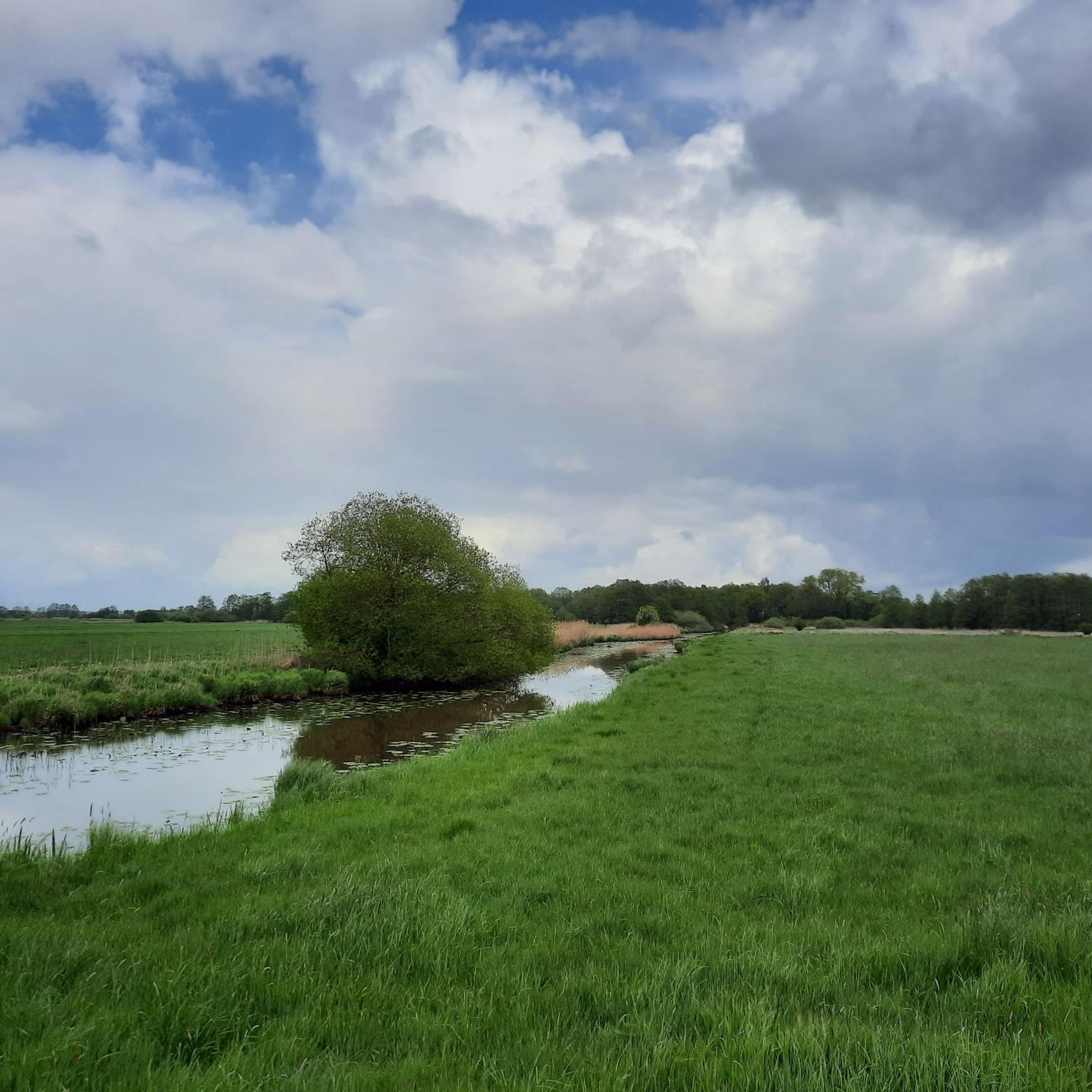
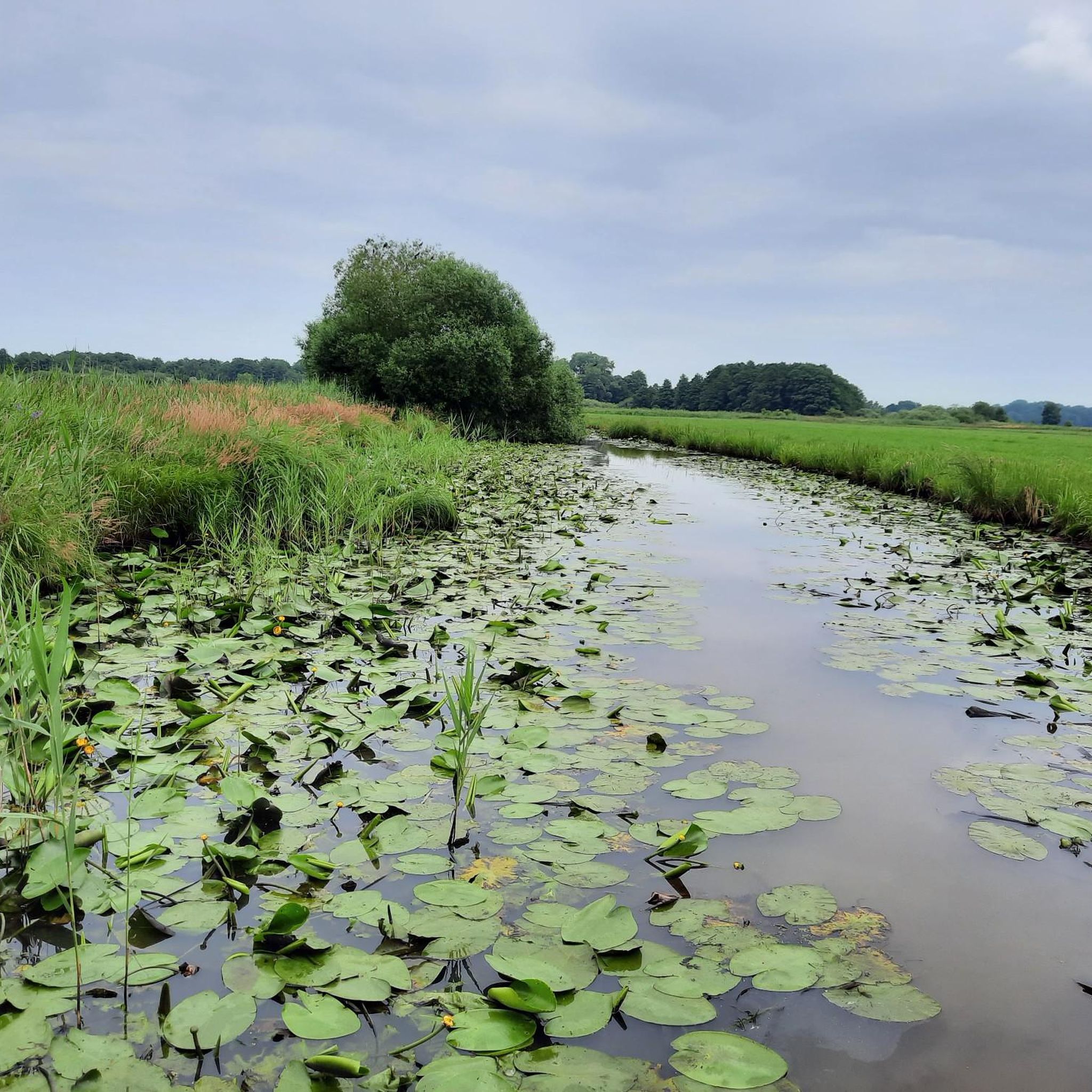
Jogging routes in Truper Blänken are predominantly flat, traversing open landscapes and following river courses. The region is characterized by its network of paths alongside waterways and through agricultural areas, offering consistent terrain for runners. Minimal elevation changes define the running experience here, making it accessible for various abilities.
Best jogging routes in Truper Blänken
- The most popular jogging route is View of Tenter See – Borgfelder Deich loop from Borgfeld, a 3.7 miles (6.0 km) trail that takes…
Last updated: October 5, 2026
4.3
(15)
94
runners
5.97km
00:37
10m
10m
Moderate run. Good fitness required. Mostly paved surfaces. Suitable for all skill levels.
4.5
(2)
61
runners
Moderate run. Good fitness required. Mostly paved surfaces. Suitable for all skill levels.

5.0
(2)
36
runners
Moderate run. Good fitness required. Mostly paved surfaces. Suitable for all skill levels.
25
runners
23.0km
02:22
30m
30m
Hard run. Very good fitness required. Mostly paved surfaces. Suitable for all skill levels.
19
runners
13.1km
01:21
20m
20m
Moderate run. Good fitness required. Mostly paved surfaces. Suitable for all skill levels.
Get access to more routes and recommendations from other explorers.
Already have an account?
Our route recommendations are based on thousands of hikes, rides, and runs completed by other people on komoot.
Start today with a free account
Your next adventure awaits.

Tips from the Community

Wonderful dike cycle path on the Lesum.
0
0

On the Wümme, there are currently two main operational points for shipping: the Dammsiel lock and the Kuhsiel lock, while other historical weir structures have been replaced by ecological ramps. Kuhsiel lock: A self-service lock in Kuhsiel (Lilienthal), which was renovated in 1997. It is available from April to November, daily from 07:00 to 22:00 (lunch break 13:00–14:00) and has a passage width of 3.50 meters. However, it is temporarily closed for the 2026 season.
0
0

Great cycle path along the Wörpe
1
0

Nice to ride the bike!
4
0

The landscape along the Wörpe is beautiful
1
0

The Wümme is a 121-kilometer-long river in northern Germany that flows through the federal states of Lower Saxony and Bremen. Its source is in the Lüneburg Heath, and it eventually flows into the Lesum, which in turn flows into the Weser. The Wümme partially marks the border between Lower Saxony and Bremen and is the main tributary of the Lesum. Together with the Lesum, the Wümme reaches a total length of 131.2 kilometers. The Wümme flows through several towns and villages, including Lauenbrück, Scheeßel, Rotenburg an der Wümme, Ottersberg, Fischerhude, Lilienthal and Bremen. It is known for its clean water quality and the picturesque landscapes along its course, which are characterized by wide meadows and floodplains.
3
0

A dreamlike setting by the small river. Pure nature.
2
0

Telescopeium Lilienthal Observatory
3
0
Frequently Asked Questions
How many running routes are available in Truper Blänken?
There are over 670 running routes documented in Truper Blänken on komoot. These range from easy jogs to more challenging long-distance trails, catering to various fitness levels.
Are there any easy jogging routes in Truper Blänken suitable for beginners?
Yes, Truper Blänken offers nearly 70 easy jogging routes. The terrain is predominantly flat, following river courses and agricultural areas, making it accessible for beginners or those looking for a relaxed run. Many routes are well-suited for a gentle introduction to running in the region.
What kind of terrain can I expect on jogging trails in Truper Blänken?
Jogging routes in Truper Blänken are characterized by flat terrain, traversing open landscapes, and following river courses. You'll find paths alongside waterways and through agricultural areas, with minimal elevation changes, providing a consistent running experience.
Are there any long-distance running trails in Truper Blänken?
For those seeking longer runs, Truper Blänken has nearly 90 difficult-rated routes, many of which are extended trails. An example is the Kuhsiel Lock – Wümme bend in Blockland loop from Lilienthal, which covers over 23 kilometers.
Are the jogging routes in Truper Blänken suitable for families?
Yes, the flat and well-maintained paths in Truper Blänken make many routes suitable for families. The minimal elevation changes mean children can often join in, and the open landscapes provide a pleasant environment for a family outing. Look for the 'easy' rated routes for the most family-friendly options.
Where can I find parking for jogging routes in Truper Blänken?
Parking availability varies by starting point. Many routes, especially those starting in towns like Borgfeld or Lilienthal, have designated parking areas nearby. It's advisable to check the specific route details on komoot for parking information related to your chosen trail.
Are there any circular jogging routes in Truper Blänken?
Many of the running routes in Truper Blänken are designed as loops, offering convenient circular options. For instance, the View of Tenter See – Borgfelder Deich loop from Borgfeld is a popular circular trail that allows you to start and finish at the same point.
What do other runners say about the trails in Truper Blänken?
The running trails in Truper Blänken are highly rated by the komoot community, with an average score of 4.5 stars from over 1,100 reviews. Runners often praise the flat, scenic paths along rivers and through open fields, making it a great place for consistent training and enjoying nature.
Can I access jogging routes in Truper Blänken using public transport?
Yes, several routes in Truper Blänken are accessible via public transport, particularly those starting in or near Lilienthal. It's recommended to check local bus or tram schedules to plan your journey to the trailhead.
Are there any interesting sights or landmarks along the running routes?
While running in Truper Blänken, you can enjoy views of natural features like Tenter See and the Wümme river. Routes around Lilienthal, such as the Martinskirche Lilienthal – Old Lilienthal Railway Station loop from Lilienthal, also pass by historical points and former railway lines, offering glimpses into the region's past.
What is the best season for jogging in Truper Blänken?
Truper Blänken offers pleasant running conditions throughout much of the year due to its flat terrain. Spring and autumn provide mild temperatures and beautiful scenery, while summer mornings and evenings are also ideal. Winter runs are possible, but paths might be damp or frosty.
Are there any routes that follow former railway lines?
Yes, some trails in Truper Blänken incorporate former railway lines, offering unique running paths. The Wörpe Cycle Path – Old Lilienthal Railway Station loop from Lilienthal is an example of a route that leads along these historical tracks.
What should I bring for a run in Truper Blänken?
Given the open landscapes, it's advisable to bring appropriate sun protection (hat, sunscreen) on sunny days. Hydration is always important, especially on longer routes. Comfortable running shoes suitable for varied, but generally flat, surfaces are recommended.
Most popular routes in Truper Blänken

Get inspired with the komoot mobile app


Explore more
Browse the best Running Trails & Routes in other regions.
