The best road cycling routes in Asselersand
4.8
(193)
1,560
riders
108
rides
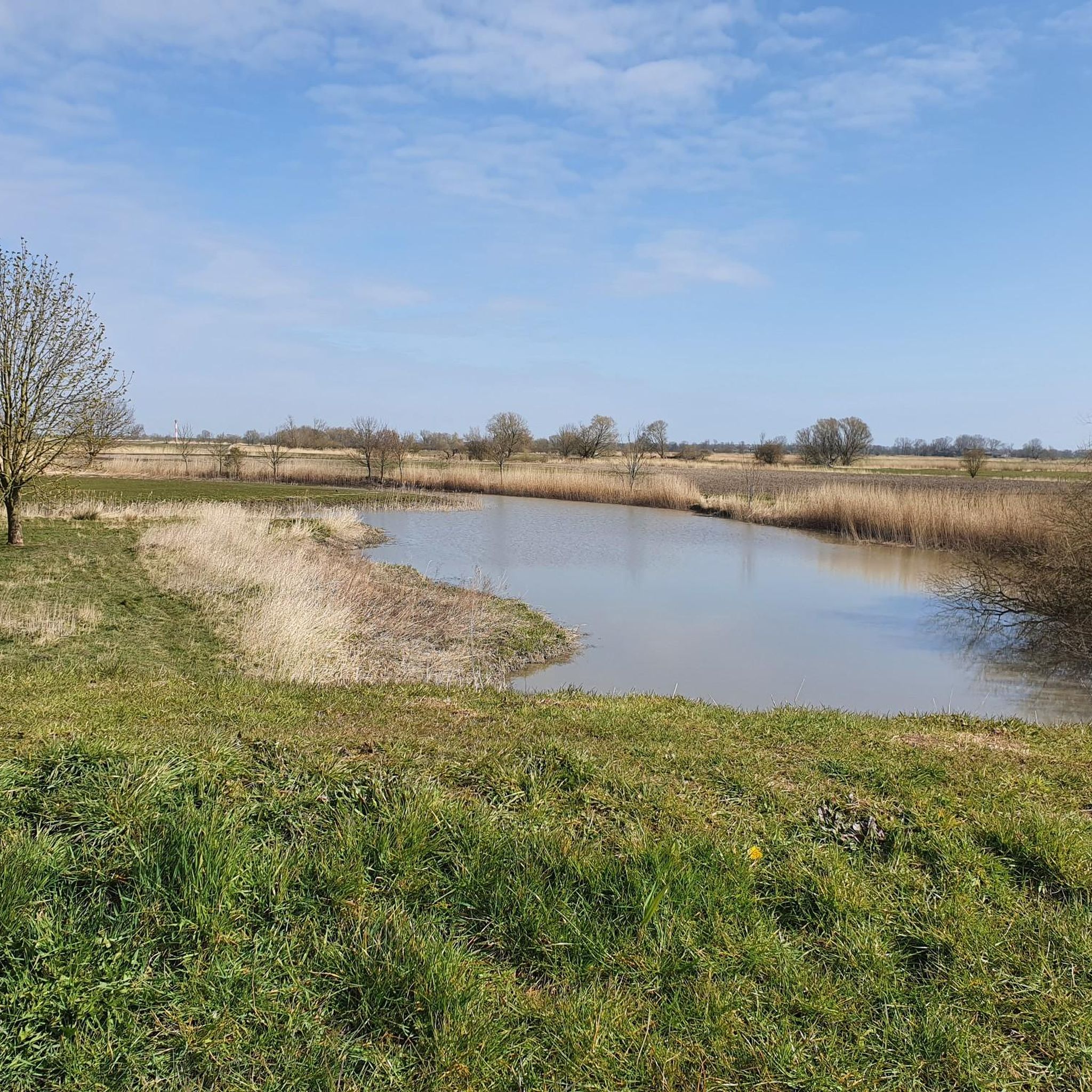
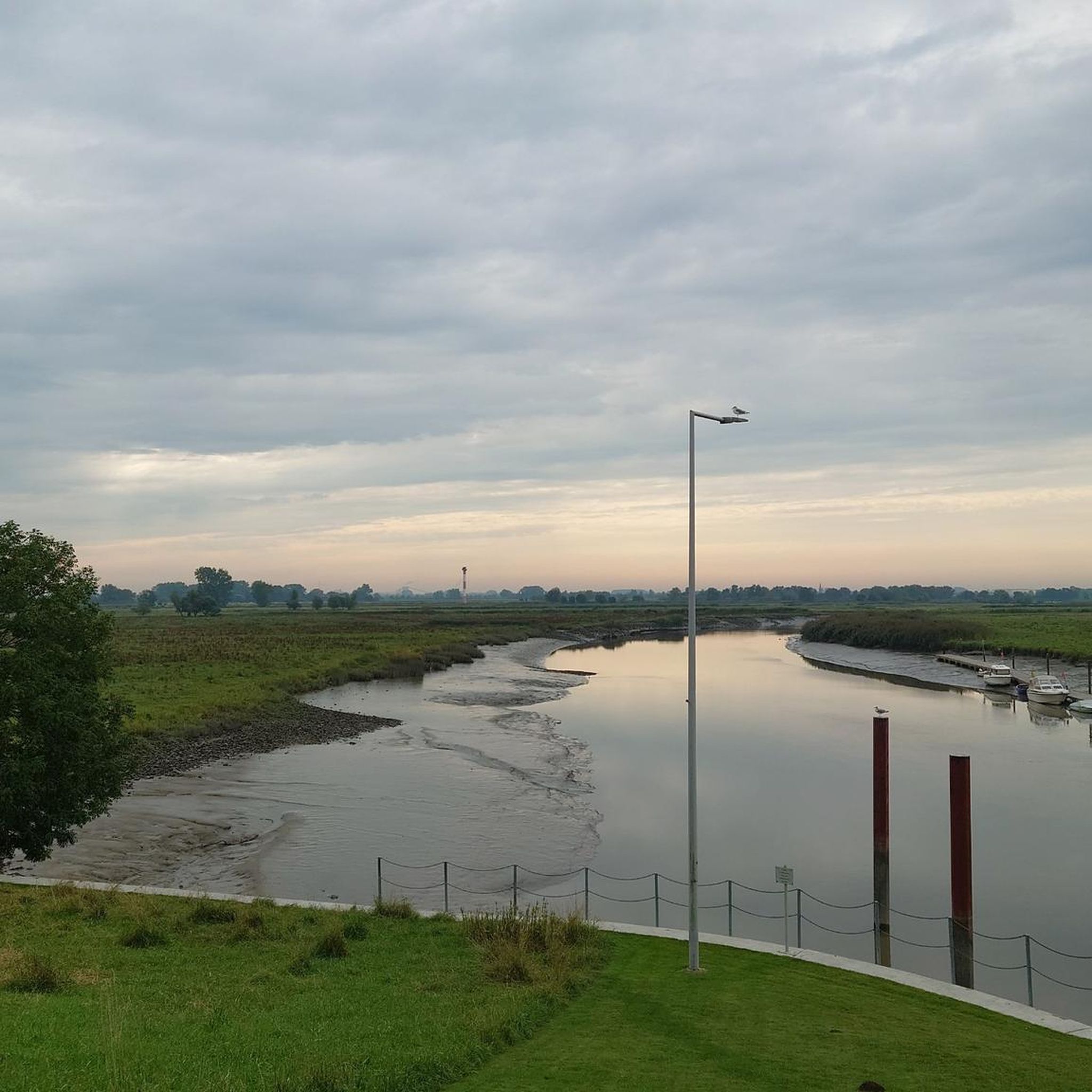
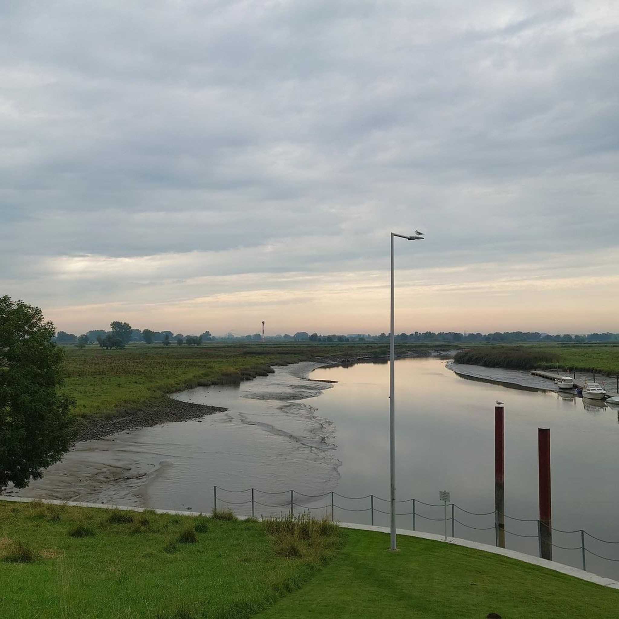
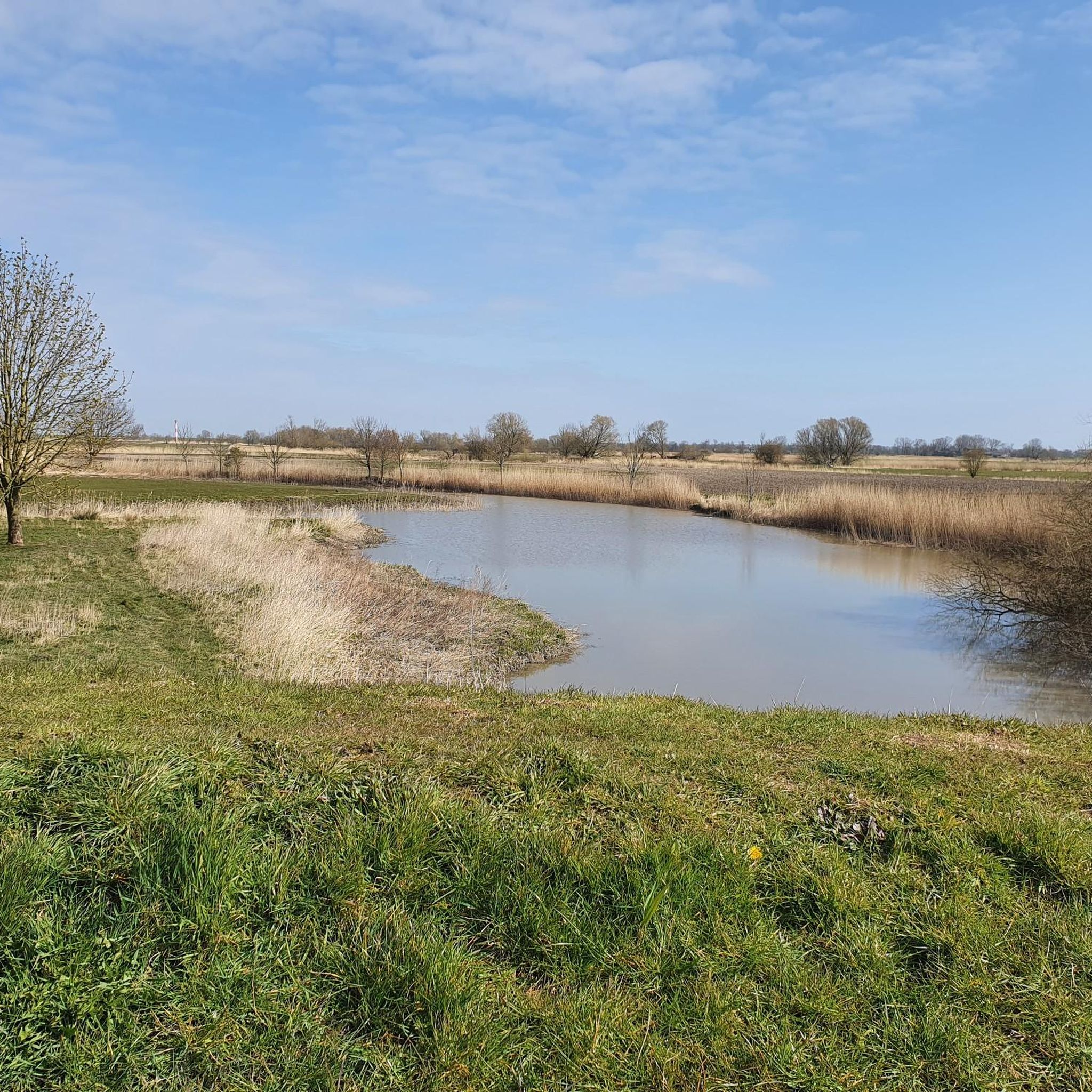
Road cycling routes in Asselersand traverse a unique marshland landscape on the Lower Elbe, characterized by expansive, flat terrain. This area, largely a nature reserve, features dikes, marshy grasslands, and the Elbe River, providing a serene environment for cycling. The region's minimal elevation changes make it accessible for various fitness levels, with routes often following the Elbe Cycle Path.
Best road cycling routes in Asselersand
- The most popular road cycling route is Stadermoor Agricultural Path – Himmelpforten–Mittelsdorf Road loop from Assel, a 24.4 miles (39.3 km) trail that takes 1 hour 46 minutes to complete, offering views of the agricultural landscape.
- Another top favourite among local road cyclists is Assel Harbor – Südsee Beach Krautsand loop from Asselersand, a moderate 16.9 miles (27.3 km) path. This route provides scenic views of Assel Harbor and leads towards Südsee Beach Krautsand.
- Local road cyclists also love the Hafengrill Wischhafen – Südsee Beach Krautsand loop from Asselersand, a 22.2 miles (35.7 km) trail leading through marshland and along the Elbe, often completed in about 1 hour 35 minutes.
- Road cycling in Asselersand is defined by flat marshland, dikes along the Elbe River, and views of the nature reserve. The network offers options for different ability levels, primarily featuring easy to moderate routes.
- The routes in Asselersand are highly rated by the komoot community with an average score of 4.8 stars from more than 100 reviews. More than 1,000 road cyclists have used komoot to explore Asselersand's varied terrain.
Last updated: August 11, 2026
4.8
(19)
15
riders
Moderate road ride. Great for any fitness level. Some segments of this route may be unpaved and difficult to ride.
4.5
(2)
11
riders
Easy road ride. Great for any fitness level. Mostly well-paved surfaces and easy to ride.

Sign up for free
9
riders
Moderate road ride. Great for any fitness level. Some segments of this route may be unpaved and difficult to ride.
5.0
(2)
11
riders
21.2km
01:02
20m
20m
Easy road ride. Great for any fitness level. Mostly well-paved surfaces and easy to ride.
6
riders
Moderate road ride. Good fitness required. Some segments of this route may be unpaved and difficult to ride.
Get access to more routes and recommendations from other explorers.
Sign up for free
Already have an account?
Our route recommendations are based on thousands of hikes, rides, and runs completed by other people on komoot.
Start today with a free account
Your next adventure awaits.
Login or Signup
Popular around Asselersand
Tips from the Community

Here are the highlights; From Stade, along the Schwingedeich and in Wöhrden, we rode on the Butendiek (discover a new route). Great views of Stade, the St. Cosmae church tower, as well as the Schwinge and the surrounding 💚 landscape can be seen from here. Great photos of the Schwinge swing bridge, as well as of the power pylons can be photographed here. The route continues here to the Motor - und Yachtclub Stade e.V., great insights into the yacht club can be seen here. Here you are in a dead end and have to ride back. Also suitable and recommended as a hiking trail 👍🏼.
3
0
A great quiet cycling route. The trees along the path provide great shady areas on hot summer days. A tour is recommended.
2
0
A great bike and hiking trail runs along here. A visit is recommended.
1
0
A great bike and hiking trail runs along here amidst beautiful nature.
2
1
A great cycling and hiking route leads along here in the midst of beautiful nature 💚 highly recommended.
3
0
The Schwinge bascule bridge was built in 1987. This road bascule bridge over the Schwinge River near Stade on the L111 is generally open daily from 6:00 a.m. to 10:00 p.m., and upon request for shipping traffic. Passage is free of charge, but requires prior registration to cross the bridge. Important note: The bridge is designed for recreational boating, and shipping traffic has priority. It is recommended to contact the harbor master of the Stade city harbor before planning a passage, especially in adverse weather conditions, as short-notice changes may occur.
2
0
A fantastic cycling and hiking trail runs along the Schwinge Bridge, surrounded by beautiful nature. On a clear day, you can see the St. Cosmae church tower in Stade. The Stade marina is also located here.
2
0
The cycle path between Assel and Bützfleht is recommended and easy to cycle on.
4
0
Frequently Asked Questions
What is the typical terrain and elevation like for road cycling in Asselersand?
Asselersand is characterized by its expansive, flat marshland terrain along the Lower Elbe. Road cycling routes here feature minimal elevation changes, making them ideal for relaxed rides. You'll primarily cycle along dikes and well-paved paths, often integrated into the renowned Elbe Cycle Path, offering scenic views of the river and surrounding nature reserve.
Are there any family-friendly road cycling routes in Asselersand?
Yes, the flat terrain and well-maintained paths in Asselersand make it very suitable for family-friendly road cycling. The minimal elevation changes ensure accessibility for cyclists of all fitness levels, including children. Routes often follow the Elbe, providing a safe and enjoyable experience for families.
What kind of natural features and wildlife can I expect to see while cycling in Asselersand?
Asselersand is a significant marshland nature reserve, offering diverse natural features. You'll encounter extensive marshy grasslands, ditches, small tidal creeks (Priele), and reeds. It's a vital area for migratory birds, especially as a resting ground for Nordic geese in spring, and a breeding ground for grassland, water, and reed birds. Keep an eye out for chess flowers (Schachblumen) which add to its ecological significance.
What are some notable landmarks or attractions along the road cycling routes in Asselersand?
While cycling in Asselersand, you can explore several interesting points. The Ruthenstrom Flood Barrier (Ruthenstromsperrwerk) is a significant structure for flood protection. You might also pass by Barnkrug Harbor or the historic Assel Harbor. The Krautsand Peninsula, with its sandy beach, is also a popular destination.
What is the best time of year for road cycling in Asselersand?
The best time for road cycling in Asselersand is generally from spring through autumn. During these seasons, the weather is most favorable for outdoor activities. Spring is particularly special for observing migratory birds, while summer and early autumn offer pleasant temperatures and lush landscapes. Always check local weather forecasts before heading out.
Are there any circular road cycling routes available in Asselersand?
Yes, many of the road cycling routes in Asselersand are designed as loops, allowing you to start and end at the same point. Examples include the Stadermoor Agricultural Path – Himmelpforten–Mittelsdorf Road loop from Assel or the Südsee Beach Krautsand – Assel Harbor loop from Assel, providing convenient options for exploring the region.
How many road cycling routes are available in Asselersand?
There are over 100 road cycling routes available in Asselersand, catering to various preferences. These routes range from easy to moderate difficulty, with 39 easy routes and 70 moderate routes, ensuring options for different skill levels.
What do other road cyclists enjoy most about road cycling in Asselersand?
The road cycling experience in Asselersand is highly rated by the komoot community, with an average score of 4.8 stars. Reviewers often praise the flat, well-maintained paths, the serene marshland landscapes, and the scenic views along the Elbe River, making it a peaceful and enjoyable destination for cyclists.
Are there options for parking when visiting Asselersand for cycling?
While specific parking locations are not detailed, Asselersand is accessible by car. Cyclists typically find parking in or near the villages and towns bordering the nature reserve, such as Assel or Krautsand, which serve as good starting points for routes.
Can I bring my dog on the cycling trails in Asselersand?
Asselersand is a nature reserve, and while dogs are generally welcome, it's important to keep them on a leash, especially due to the sensitive birdlife and agricultural areas. The Krautsand Peninsula even features a dedicated dog beach, offering a specific spot for your canine companion to enjoy.
Are there any cafes or pubs near the cycling routes in Asselersand?
Yes, you can find places to refresh yourself near the cycling routes. For instance, the Krautsand Peninsula, a common point on many routes, offers amenities like a bistro. Additionally, the surrounding villages and towns provide various options for cafes, pubs, and accommodation for cyclists.
Most popular routes in Asselersand
Most popular attractions in Asselersand

Get inspired with the komoot mobile app


Explore more
Browse the best Road cycling routes in other regions.
