The best walks and hikes in Westerberg und oberes Hackemühlener Bachtal
4.5
(992)
3,104
hikers
414
hikes
Hiking trails in Westerberg und oberes Hackemühlener Bachtal traverse a diverse landscape within a nature reserve in Lower Saxony, Germany. The region is characterized by the forested Westerberg Ridge, an end moraine from the Saale Ice Age, reaching 66 meters (217 ft) at Georgenhöhe. The Hackemühlener Bach stream flows through its valley, featuring riparian vegetation and varied habitats including forests, swamps, and wet meadows. Glacial erratics are present throughout the area, indicating its geological history.
Best hiking trails in Westerberg…
Last updated: October 15, 2026
5.0
(4)
16
hikers
Easy hike. Great for any fitness level. Easily-accessible paths. Suitable for all skill levels.
4.8
(4)
5
hikers
Easy hike. Great for any fitness level. Easily-accessible paths. Suitable for all skill levels.

5
hikers
Easy hike. Great for any fitness level. Easily-accessible paths. Suitable for all skill levels.
5.0
(22)
42
hikers
Easy hike. Great for any fitness level. Easily-accessible paths. Suitable for all skill levels.
5.0
(8)
17
hikers
Easy hike. Great for any fitness level. Easily-accessible paths. Suitable for all skill levels.
Get access to more routes and recommendations from other explorers.
Already have an account?
Our route recommendations are based on thousands of hikes, rides, and runs completed by other people on komoot.
Start today with a free account
Your next adventure awaits.
Tips from the Community

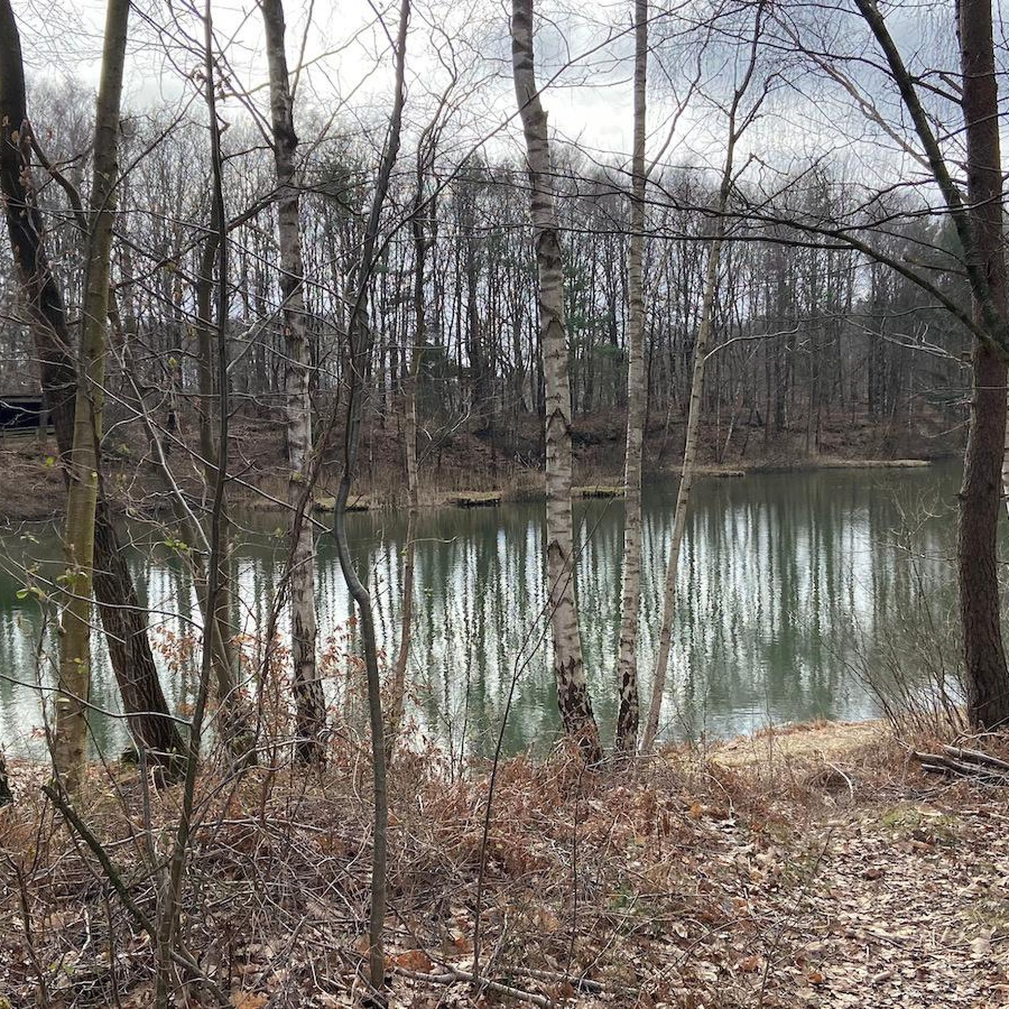
Pretty little forest lake with unfortunately somewhat run-down seating.
1
0
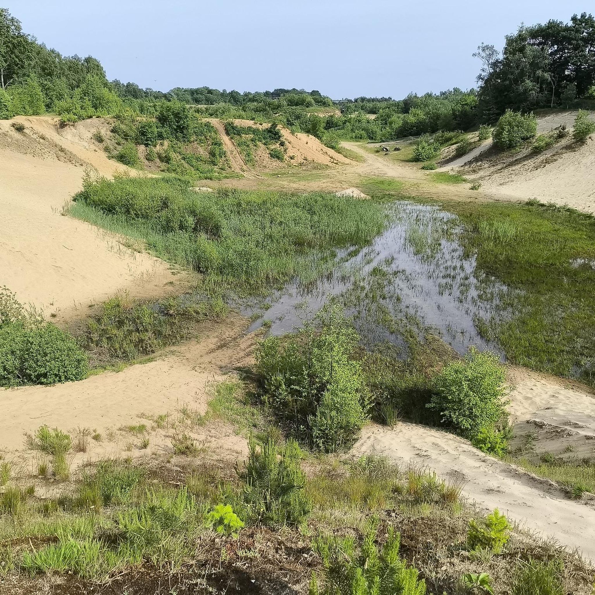
Pretty little heathland with interesting stones all around. There's a playground and plenty of seating.
0
0
A very well-preserved stone tomb. There are two benches here, ideal for a shady rest in the summer.
0
0

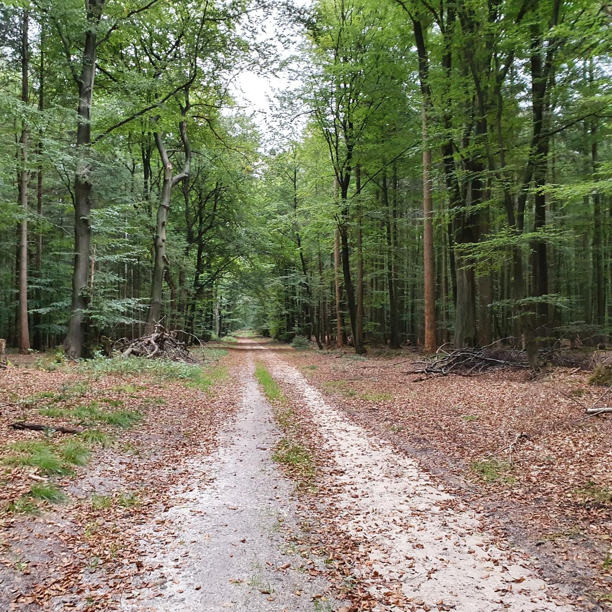
Hiking parking lot between the rock garden with the boulders and a wonderful, dense forest.
1
0
A nice rest area above the lake. Ideal for a break with a hiking group. We liked it there.
2
0

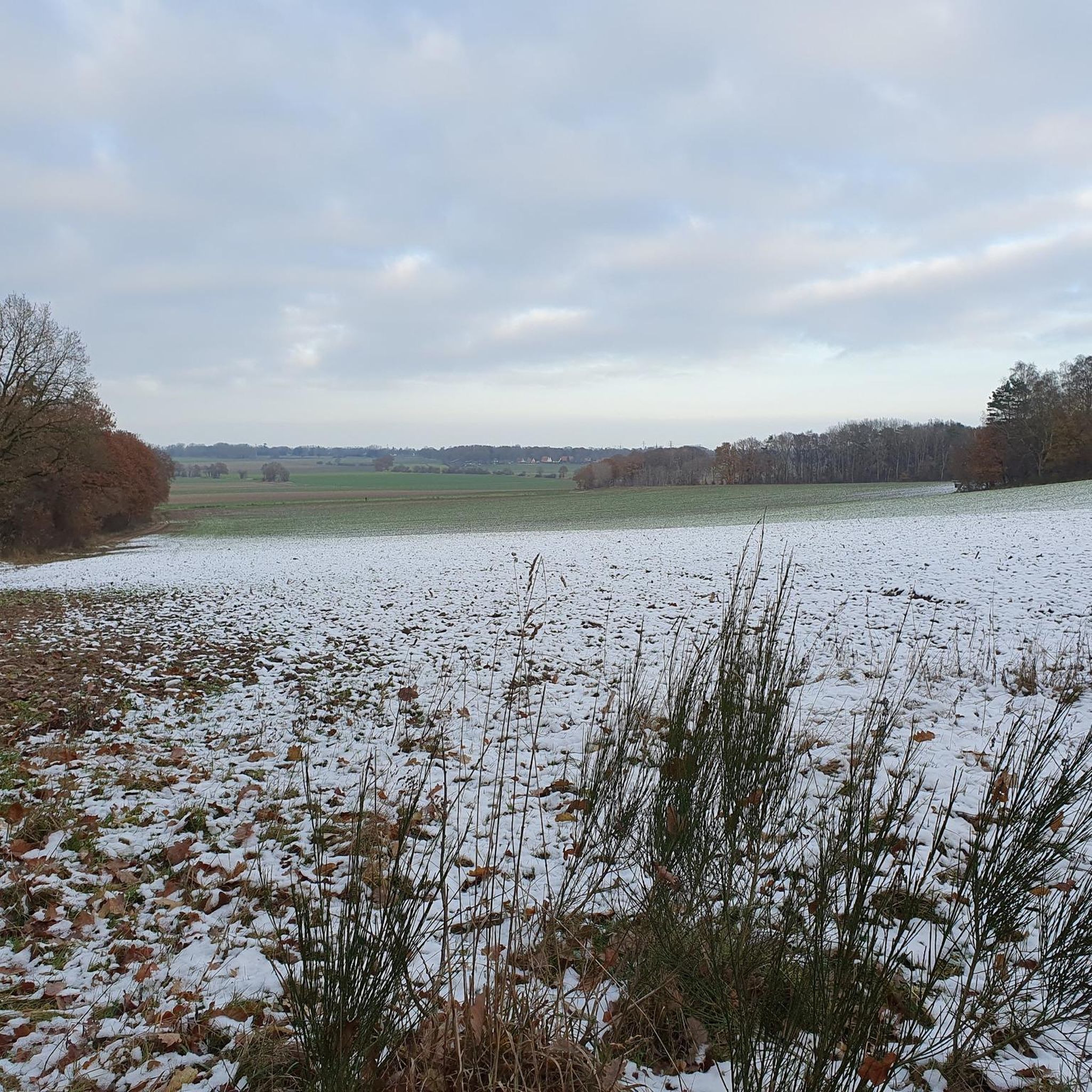
When the trees are leafless, you have a wide view of the country from the hill.
1
0
At the edge of the rock garden there is a small forest trail with an amazing number of different trees that grow here.
0
0
Opposite the rock garden is a large car park, which is a good starting point for hikes.
1
0
Frequently Asked Questions
How many hiking trails are available in Westerberg und oberes Hackemühlener Bachtal?
There are nearly 400 hiking trails in Westerberg und oberes Hackemühlener Bachtal. The majority, over 270, are considered easy, with an additional 115 moderate routes, offering options for various ability levels.
What kind of terrain will I encounter on hikes in this region?
You can expect a diverse landscape, primarily characterized by the forested Westerberg Ridge, an end moraine from the Saale Ice Age. Trails wind through mixed forests of Douglas fir, spruce, oak, and beech. The Hackemühlener Bachtal features a natural stream valley with riparian vegetation, and you'll also find swamps, wet meadows, and grasslands. Keep an eye out for glacial erratics, which are scattered throughout the area.
Are there any circular hiking routes in Westerberg und oberes Hackemühlener Bachtal?
Yes, the area is well-suited for circular hikes. One popular option is the Fishing lake with picnic area in the forest – Westerberg Dolmen loop, which is 6.2 km long and passes a fishing lake and a megalithic grave. Another is the Lamstedt Telecommunications Tower loop, an easy 4.3 km path offering scenic views.
What natural landmarks or points of interest can I see while hiking?
Hikers can discover a megalithic grave or dolmen within the Westerberg woods, adding a historical element to your walk. The region's geological history is also evident through glacial erratics. The Hackemühlener Bach stream itself is a natural feature, flowing through a valley with diverse riparian plants.
Is there parking available for hikers?
Yes, a spacious hiking parking lot is available, providing easy access to the trails within the Westerberg und oberes Hackemühlener Bachtal nature reserve.
What do other hikers say about the trails in Westerberg und oberes Hackemühlener Bachtal?
The routes in Westerberg und oberes Hackemühlener Bachtal are highly rated by the komoot community, with an average score of 4.5 stars from over 780 reviews. More than 2600 hikers have used komoot to explore the varied terrain, often praising the quiet woodlands and well-maintained paths.
Are there any longer or more challenging routes for experienced hikers?
While the majority of trails are easy or moderate, there are 8 routes classified as difficult. For a moderately challenging option, consider the Westerberg Dolmen – Fishing lake with picnic area in the forest loop, which covers 8 km and involves more elevation gain.
Can I bring my dog on the hiking trails?
The region is generally dog-friendly, offering many paths suitable for walks with your canine companion. However, as it is a nature reserve, it's always advisable to keep dogs on a leash to protect wildlife and ensure a pleasant experience for all visitors.
Are there any specific geological features worth noting?
The Westerberg Ridge itself is an end moraine from the Saale Ice Age, making it a significant geological feature. Throughout the area, you'll find glacial erratics, large boulders deposited by ancient glaciers, which serve as tangible reminders of the ice age's impact on the landscape.
What is the highest point in the area and can I hike to it?
The highest point in the Westerberg Ridge is Georgenhöhe, reaching 66 meters (217 ft). Many trails traverse the ridge, offering opportunities to experience its elevation and forested slopes.
Is there a specific trail that goes past a pond or rock garden?
Yes, the Pond in Westerberg Forest – Lamstedt Rock Garden loop is a 5.2 km trail that leads through forested areas, past a pond, and towards the Steingarten Lamstedt, which showcases a collection of local glacial erratics.
What kind of forests dominate the Westerberg Ridge?
The Westerberg Ridge is covered by a mix of Douglas fir and spruce, interspersed with oak mixed forests. You can also find transitional areas featuring beech and oak-hornbeam forests, providing varied scenery throughout your hike.
Most popular routes in Westerberg und oberes Hackemühlener Bachtal

Get inspired with the komoot mobile app


Explore more
Browse the best Hikes in other regions.
