The best walks and hikes in Rottige Meenthe & Brandemeer
4.4
(2287)
12,159
hikers
32
hikes
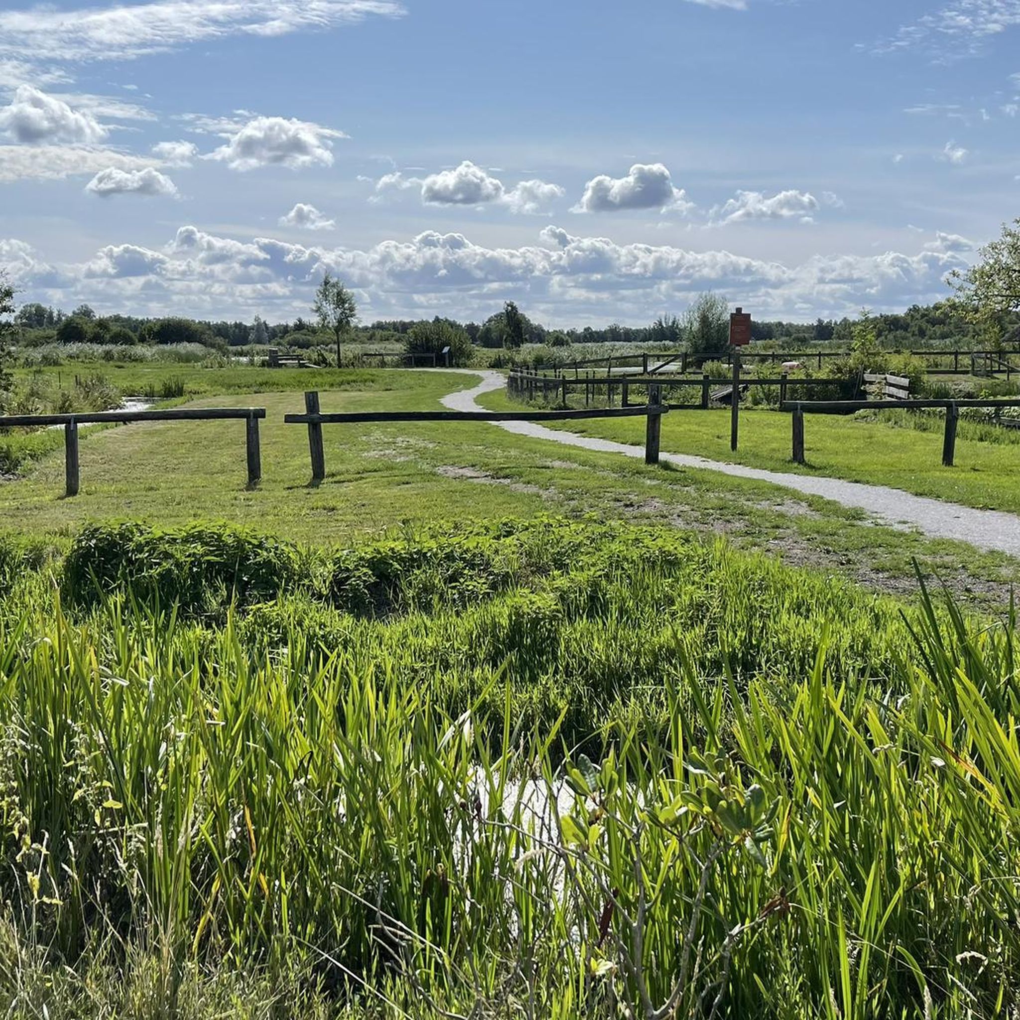
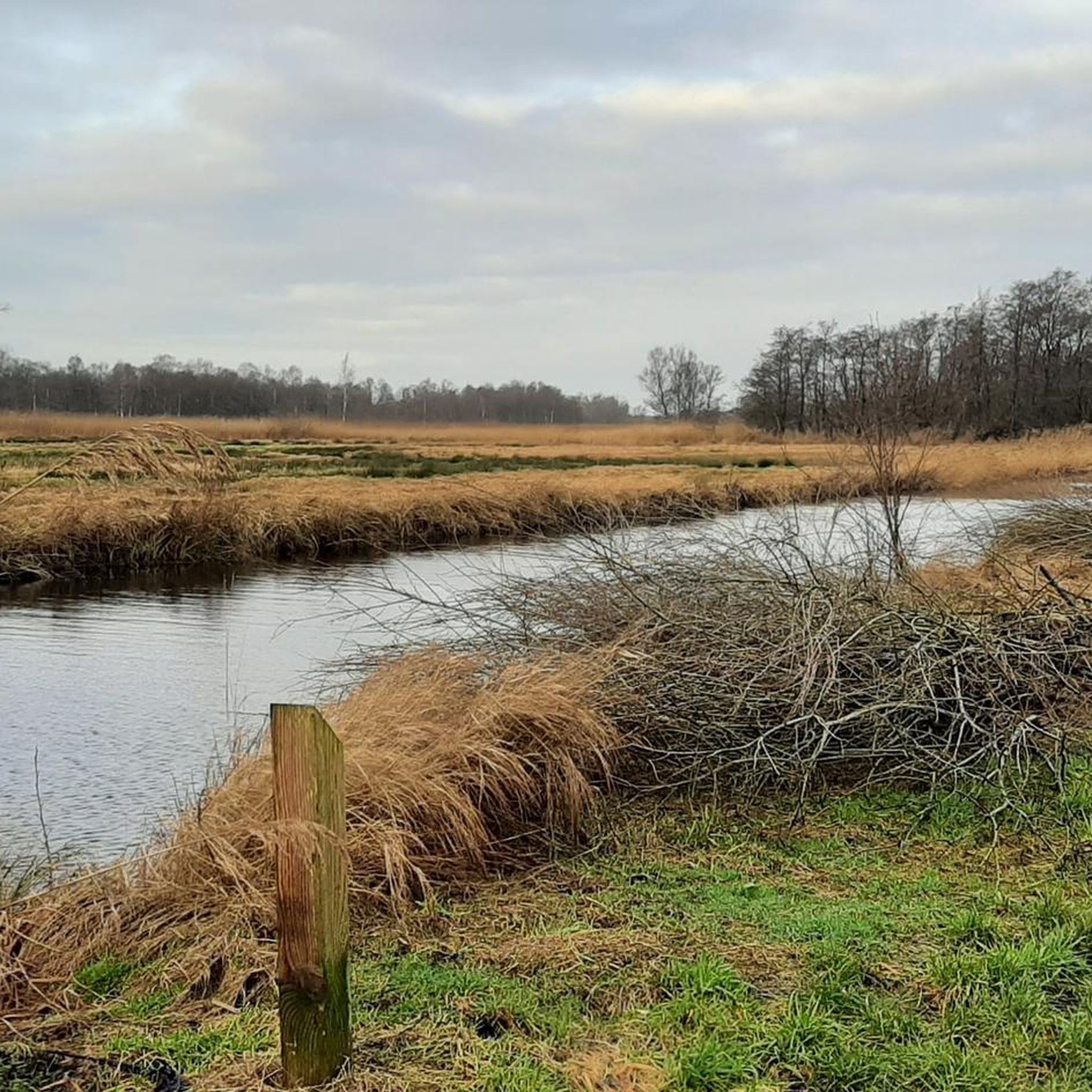
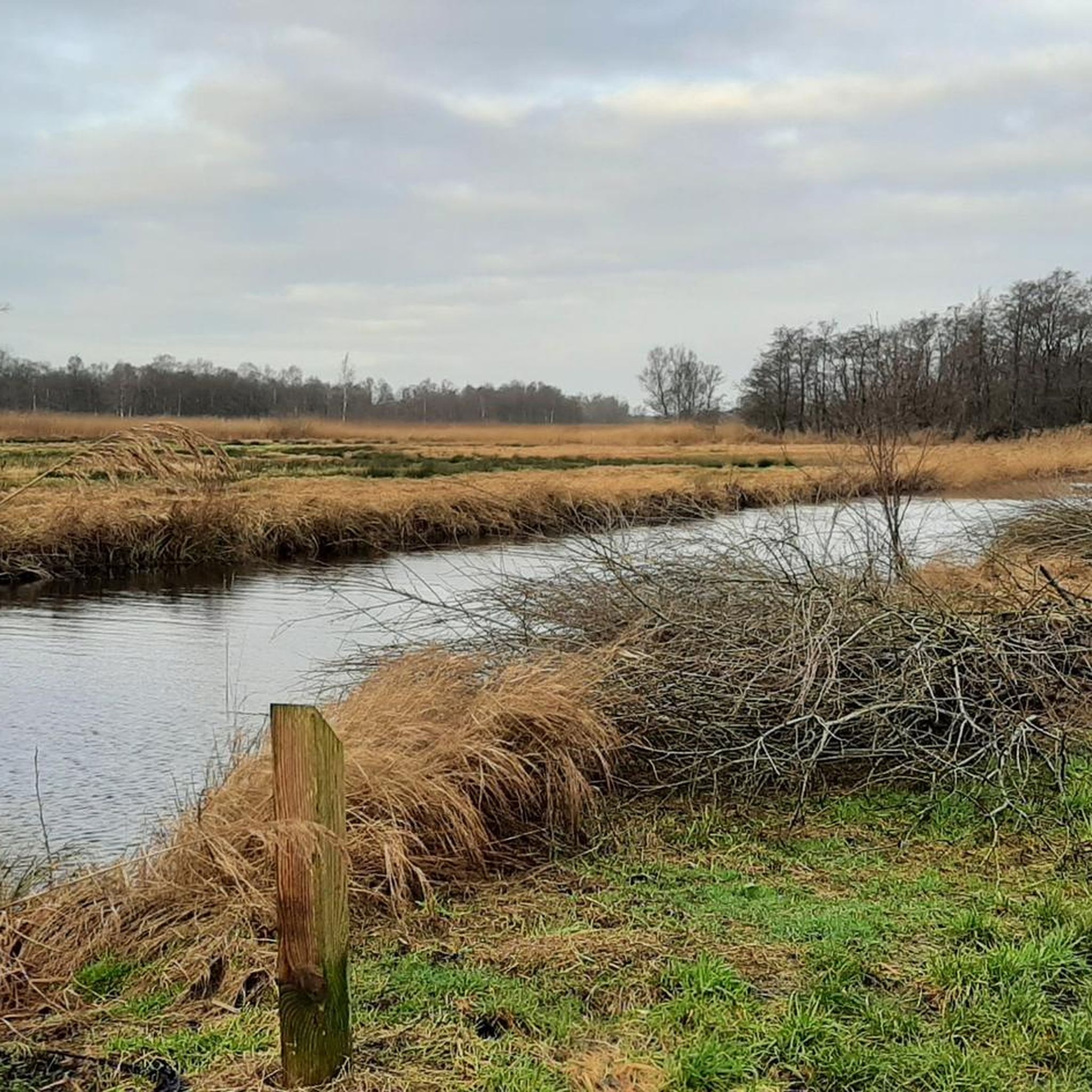
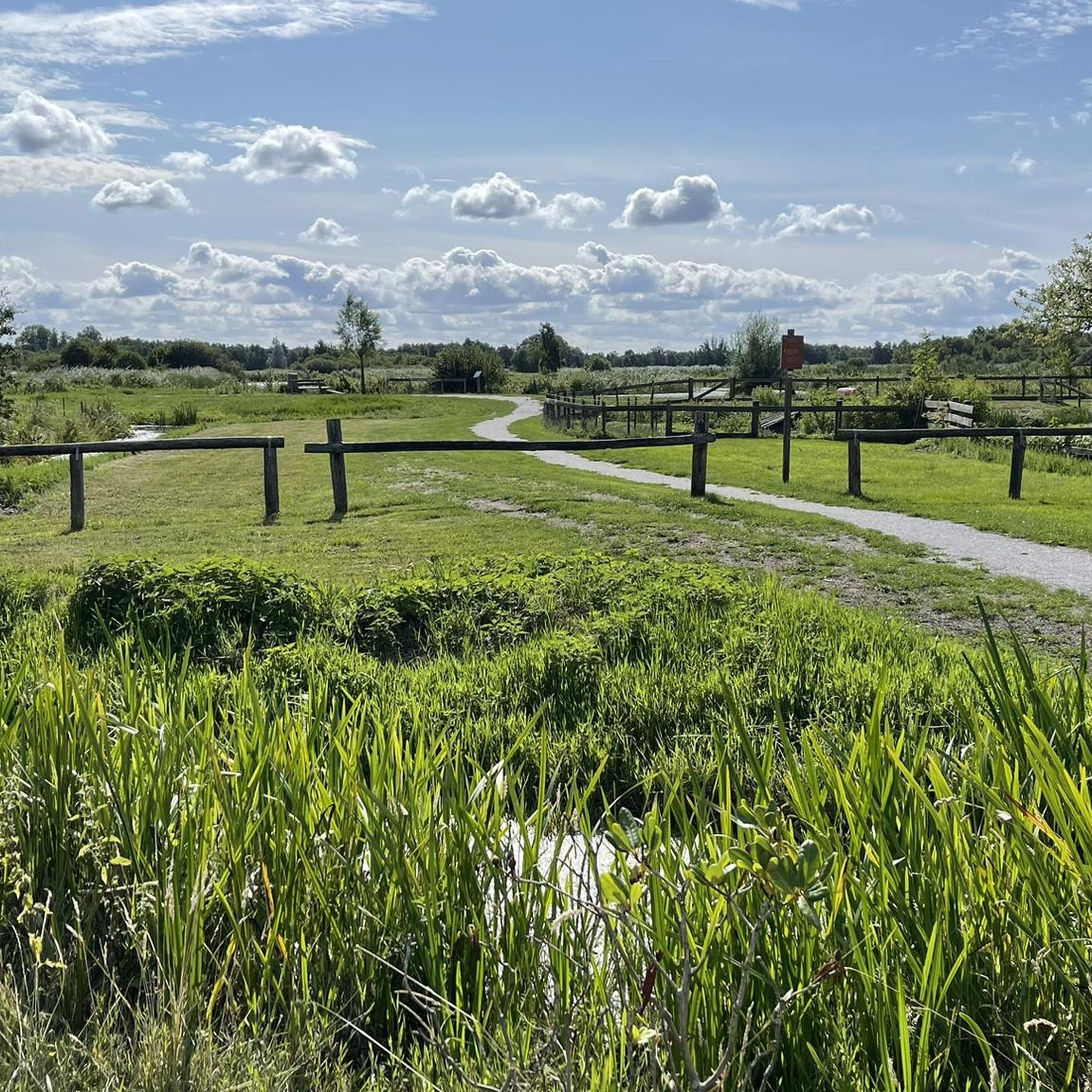
Hiking in Rottige Meenthe & Brandemeer offers routes through a unique low-moor peatland landscape in Friesland, characterized by an intricate network of canals ("petgaten") and narrow strips of land ("legakkers"). This water-rich environment features wet grasslands, extensive reed marshes, and bog woodlands. The terrain is generally flat, shaped by historical peat excavations, providing a distinctive setting for outdoor activities.
Best hiking trails in Rottige Meenthe & Brandemeer
- The most popular hiking route is Scheenesluis – The Last Penny Sluice loop from Munnekeburen, a 4.3 miles (6.9 km) trail that takes 1 hour 45 minutes to complete, winding through the characteristic peatland scenery.
- Another top favourite among local hikers is Bridge over the Scheene – Rottige Meenthe Walking Trail loop from Munnekeburen, an easy 3.1 miles (5.0 km) path, offering views of the waterways and reed beds.
- Local hikers also love the Old Windmill Brandemeer – Peatland Along the Tjonger loop from De Tsjonger of De Kuunder, a 3.9 miles (6.3 km) trail leading through peatland and past an old windmill, often completed in about 1 hour 35 minutes.
- Hiking in Rottige Meenthe & Brandemeer is defined by low-moor peatland, extensive reed marshes, and unique waterways, with 25 easy, 7 moderate, and 1 difficult route available for different ability levels.
- The routes in Rottige Meenthe & Brandemeer are highly rated by the komoot community with an average score of 4.5 stars from more than 300 reviews. More than 1500 hikers have used komoot to explore Rottige Meenthe & Brandemeer's varied terrain.
Last updated: May 20, 2026
4.7
(111)
384
hikers
Easy hike. Great for any fitness level. Easily-accessible paths. Suitable for all skill levels.
4.7
(65)
211
hikers
6.99km
01:45
10m
10m
Easy hike. Great for any fitness level. Easily-accessible paths. Suitable for all skill levels.

Sign up for free
4.7
(22)
89
hikers
Easy hike. Great for any fitness level. Easily-accessible paths. Suitable for all skill levels.
4.3
(13)
107
hikers
17.8km
04:29
10m
10m
Moderate hike. Good fitness required. Easily-accessible paths. Suitable for all skill levels.
4.8
(21)
75
hikers
Easy hike. Great for any fitness level. Easily-accessible paths. Suitable for all skill levels.
Get access to more routes and recommendations from other explorers.
Sign up for free
Already have an account?
Our route recommendations are based on thousands of hikes, rides, and runs completed by other people on komoot.
Start today with a free account
Your next adventure awaits.
Login or Signup

Tips from the Community

4 poems have been placed about the nature reserve
0
0

The boardwalk crosses a beautiful swamp forest.
0
0

The American windmill or rose mill is a type of slow-running windmill with many blades (wings). The mill was developed in the United States by Daniel Halladay and was used for irrigation purposes.
0
0

I think it is a studio, but unfortunately it was not open when we walked there.
0
0
Beginning of the autumn season of yellow mushrooms.
0
1
Lovely spot with picnic bench to enjoy the sun.
0
1
Nice spot, next to the Staatsbosbeheer information hut.
0
0

On this route you will find the tea house, here it is definitely recommended to stop for a nice snack. Very helpful people.
0
0
Frequently Asked Questions
What kind of terrain can I expect on the hiking trails in Rottige Meenthe & Brandemeer?
The trails in Rottige Meenthe & Brandemeer are primarily characterized by a unique low-moor peatland landscape. You'll encounter unpaved paths, shell paths, grasslands, and ridges, often winding through an intricate network of canals and narrow strips of land. Some areas can be wet, especially during damp periods, so wearing waterproof shoes is advisable.
Are there family-friendly hiking options in Rottige Meenthe & Brandemeer?
Yes, the area offers many easy routes suitable for families. With 25 easy routes available, you can find walks that are manageable for all ages. These trails allow families to explore the unique peatland scenery and observe wildlife in a tranquil setting.
Can I bring my dog on the trails in Rottige Meenthe & Brandemeer?
While the region is rich in wildlife, including rare birds and otters, specific regulations regarding dogs on trails can vary. It's generally recommended to keep dogs on a leash to protect the local fauna and flora, especially in sensitive nature reserve areas. Always check local signage for specific restrictions.
Are there circular hiking routes available in Rottige Meenthe & Brandemeer?
Yes, many of the hiking routes in Rottige Meenthe & Brandemeer are designed as circular paths, allowing you to start and end at the same point. For example, the Scheenesluis – The Last Penny Sluice loop from Nijetrijne is a moderate 17.8 km circular trail that offers a comprehensive experience of the area's waterways and peatland.
What unique wildlife or natural features can I observe while hiking?
Rottige Meenthe & Brandemeer is a haven for nature lovers. You can spot a variety of birds, including nationally endangered species like the Eurasian wigeon and great reed warbler, as well as marsh harriers and black terns. The area is also a crucial habitat for the European otter and the only location in Friesland for the endemic large copper butterfly. The landscape itself features rare quaking fen, vulnerable sphagnum moss, and dense mats of water soldier.
Are there any interesting landmarks or points of interest along the trails?
Yes, the area features several historical and natural points of interest. You can encounter old peat sluices, such as the Old Peat Sluice and The Veensluisje near Braandemeer, which are remnants of past peat excavations. The The Last Penny Sluice and Scheenesluis are also notable. Additionally, you might come across the Molen de Rietvink, an old windmill.
When is the best time of year to go hiking in Rottige Meenthe & Brandemeer?
The reserve is beautiful year-round, but spring and summer offer the best opportunities to observe the rich flora and fauna, including blooming wildflowers and active birdlife. Autumn provides stunning colors in the bog woodlands. During wetter periods, especially in late autumn and winter, some paths can be muddy, so appropriate footwear is essential.
Where can I find parking for hiking trails in Rottige Meenthe & Brandemeer?
Specific parking areas are usually available near popular trailheads and access points to the nature reserve. These are often signposted. It's advisable to check maps or local information for designated parking spots before your visit, especially for specific starting points like Munnekeburen or Nijetrijne.
Is Rottige Meenthe & Brandemeer accessible by public transport?
While the area is a nature reserve, some villages bordering Rottige Meenthe & Brandemeer may have limited public transport connections, such as bus services. However, direct access to trailheads via public transport might be challenging. Planning your journey in advance and considering a combination of public transport and a short walk or taxi ride is recommended.
What should I consider bringing or wearing for a hike in this region?
Given the water-rich and sometimes unpaved terrain, wearing sturdy, waterproof shoes is highly recommended, especially during wet periods. Layered clothing is also advisable to adapt to changing weather conditions. Bringing binoculars for birdwatching and a camera for capturing the unique landscape and wildlife will enhance your experience.
What do other hikers enjoy most about hiking in Rottige Meenthe & Brandemeer?
The area is highly rated by the komoot community, with an average score of 4.5 stars. Hikers frequently praise the tranquility and the unique, diverse landscape, particularly the intricate network of canals and reed beds. Many appreciate the opportunities for wildlife spotting, especially the diverse birdlife and the chance to see otters.
What are the typical lengths and difficulties of hikes in the area?
Rottige Meenthe & Brandemeer offers a range of hikes. You'll find many easy routes, typically ranging from 3 to 7 kilometers, suitable for leisurely walks. There are also moderate options, such as the Scheenesluis – The Last Penny Sluice loop from Nijetrijne, which is about 17.8 km. The area has 25 easy, 7 moderate, and 1 difficult route, catering to various fitness levels.
Are there specific types of trails, like boardwalks, in the area?
The region is known for its diverse paths, including shell paths, grasslands, and ridges. While not explicitly mentioned as extensive boardwalks, the unique peatland environment and wet areas often feature well-maintained paths that allow access through sensitive habitats. Some local trails, like the 'Boswachterspad Rottige Meente,' are designed to navigate these specific landscapes.
Most popular routes in Rottige Meenthe & Brandemeer
Most popular attractions in Rottige Meenthe & Brandemeer

Get inspired with the komoot mobile app


Explore more
Browse the best Hikes in other regions.
