Hasenfeld Und Rheinvorland Zwischen Eversael Und Ossenberg
Hasenfeld Und Rheinvorland Zwischen Eversael Und Ossenberg
The best running trails in Hasenfeld Und Rheinvorland Zwischen Eversael Und Ossenberg
4.4
(1067)
14,693
runners
869
runs
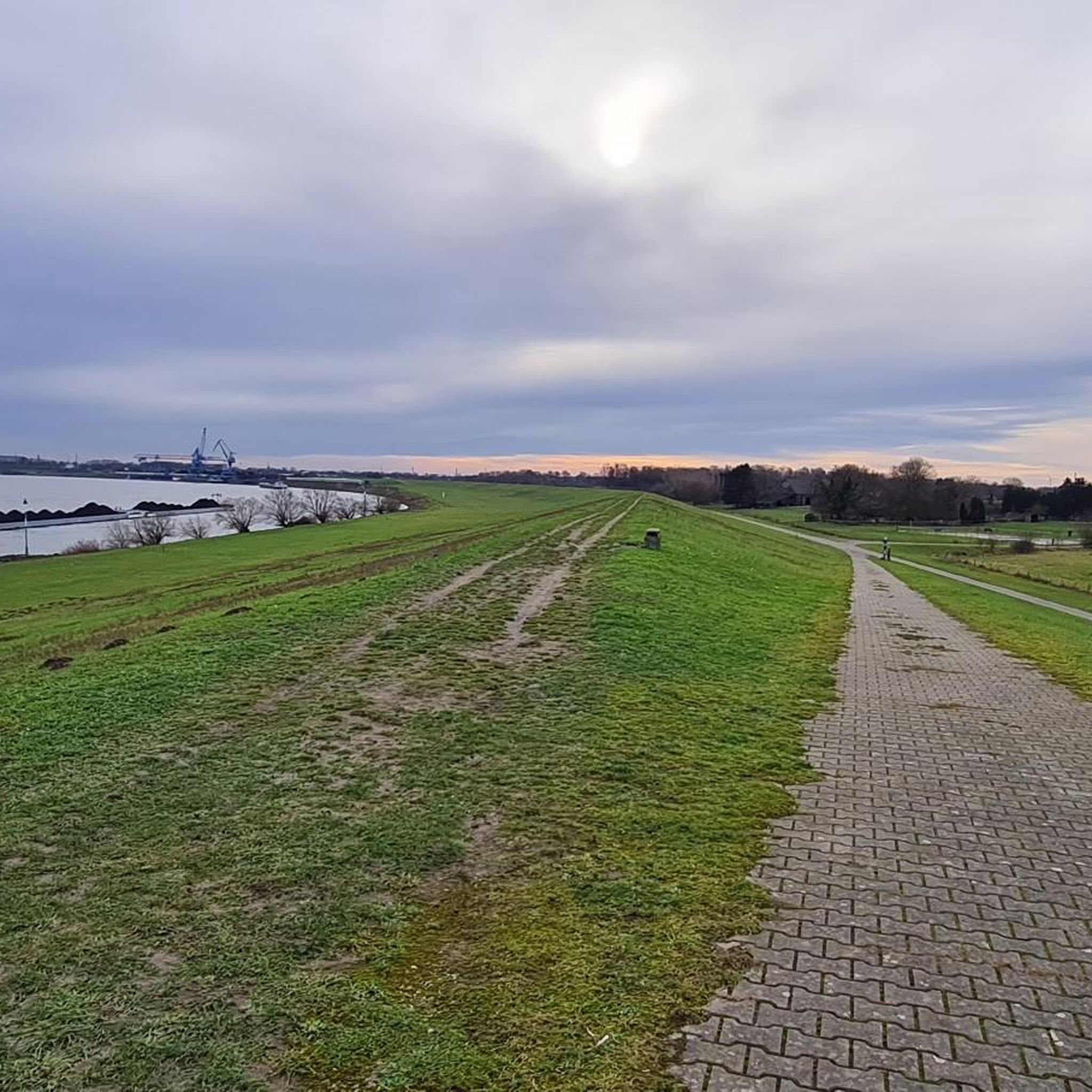
Jogging routes in Hasenfeld Und Rheinvorland Zwischen Eversael Und Ossenberg are primarily characterized by the flat, well-maintained paths along the Rhine dike and through the Rhine foreland. This nature reserve in North Rhine-Westphalia, Germany, features diverse riverine biotopes, including gravel and sandy-gravel substrates, and willow-oak forests. The terrain is largely flat, with minimal elevation changes, making it suitable for various running abilities. Natural features like the "Hasenfeld" subsidence lake and the "Alter Rhein" contribute to the scenic environment for runners.
…Last updated: August 5, 2026
5.0
(6)
5
runners
6.59km
00:44
30m
30m
Moderate run. Good fitness required. Mostly paved surfaces. Suitable for all skill levels.
6
runners
Moderate run. Good fitness required. Mostly paved surfaces. Suitable for all skill levels.

Sign up for free
4.0
(9)
77
runners
Moderate run. Good fitness required. Mostly paved surfaces. Suitable for all skill levels.
4.3
(42)
349
runners
Moderate run. Good fitness required. Mostly paved surfaces. Suitable for all skill levels.
25
runners
Moderate run. Good fitness required. Mostly paved surfaces. Suitable for all skill levels.
Get access to more routes and recommendations from other explorers.
Sign up for free
Already have an account?
Our route recommendations are based on thousands of hikes, rides, and runs completed by other people on komoot.
Start today with a free account
Your next adventure awaits.
Login or Signup
Popular around Hasenfeld Und Rheinvorland Zwischen Eversael Und Ossenberg
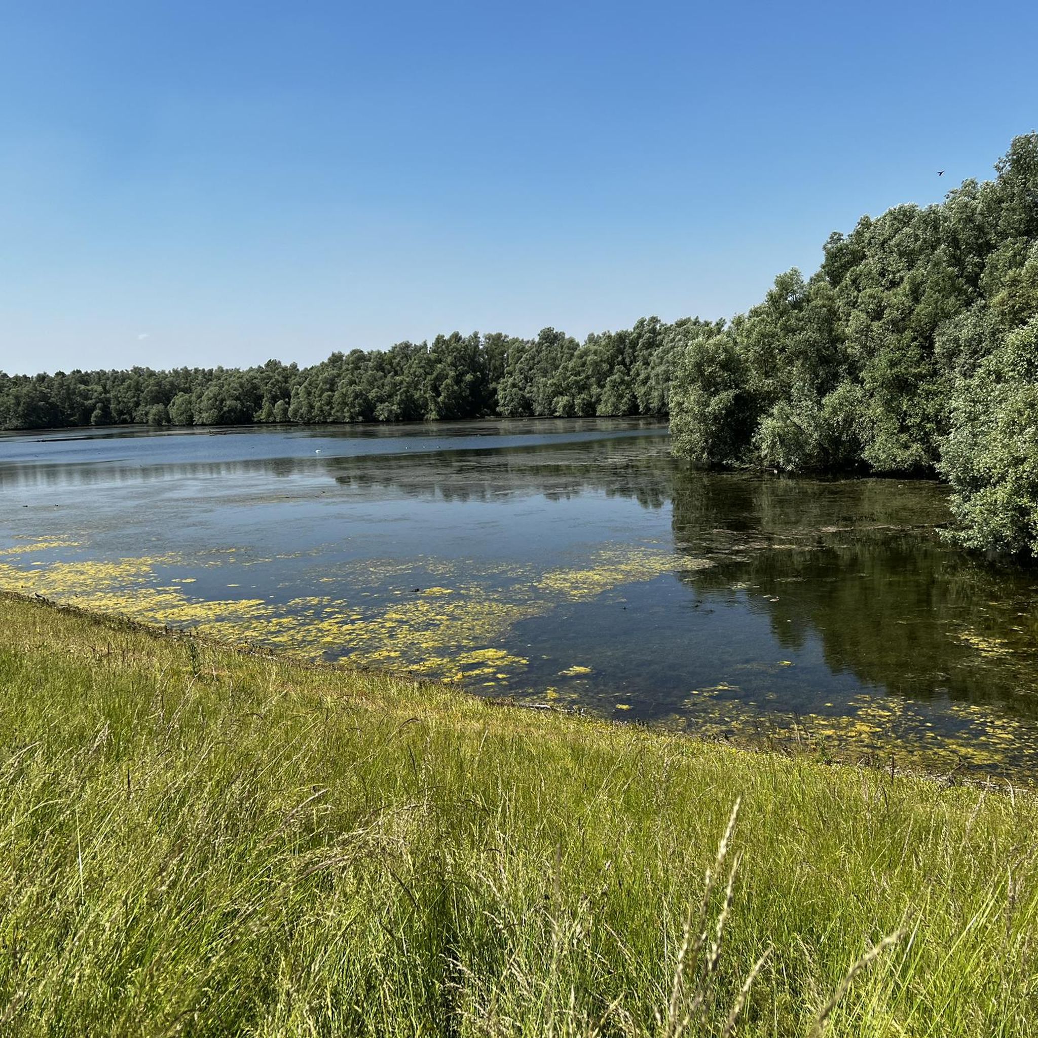
Hiking in Hasenfeld Und Rheinvorland Zwischen Eversael Und Ossenberg
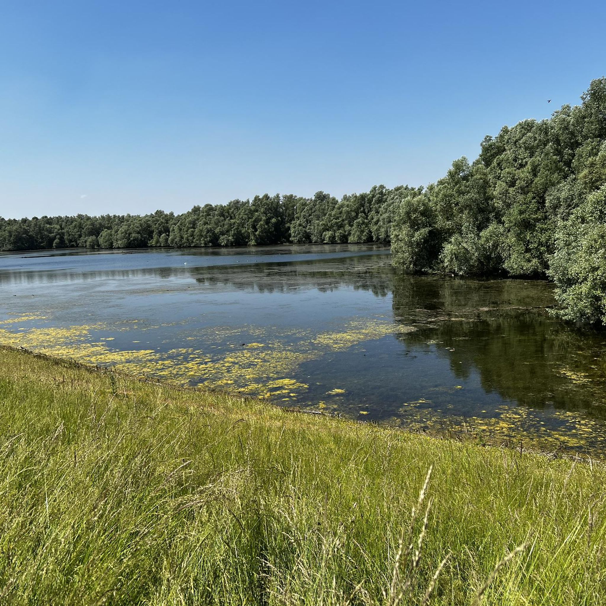
Road Cycling Routes in Hasenfeld Und Rheinvorland Zwischen Eversael Und Ossenberg
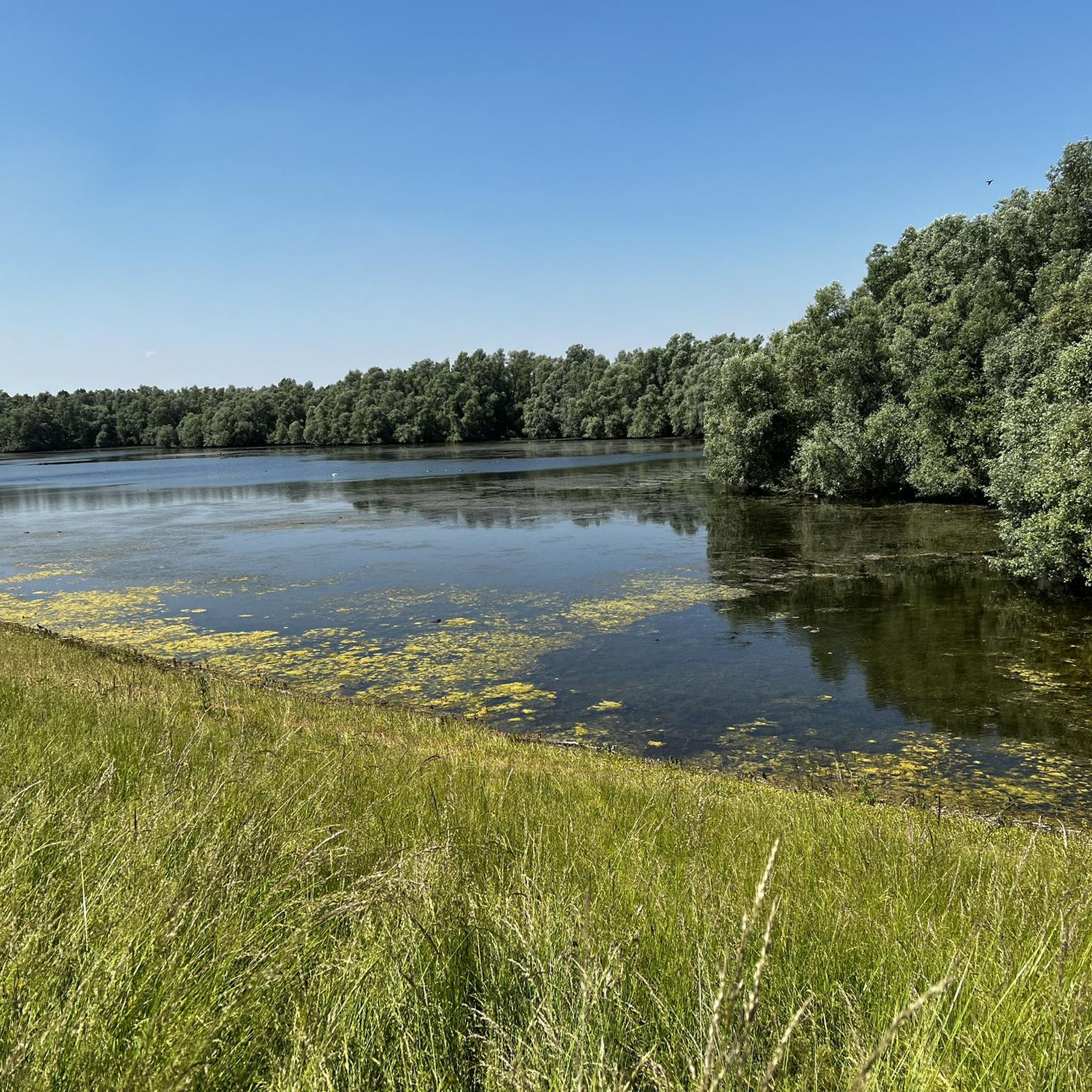
Cycling in Hasenfeld Und Rheinvorland Zwischen Eversael Und Ossenberg
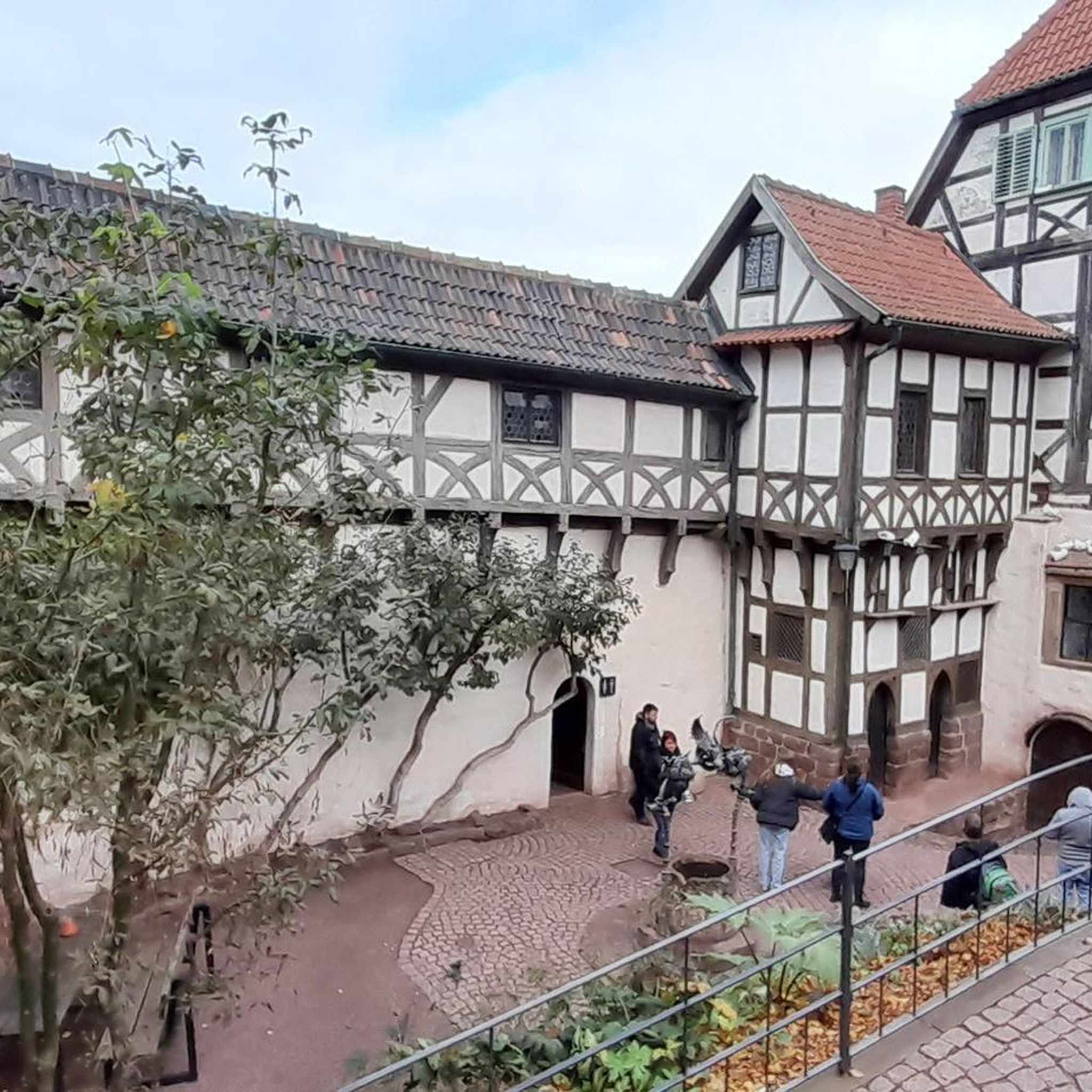
Gravel biking in Hasenfeld Und Rheinvorland Zwischen Eversael Und Ossenberg
MTB Trails in Hasenfeld Und Rheinvorland Zwischen Eversael Und Ossenberg
Tips from the Community

The current Emscher estuary - always worth seeing!
0
0

From up there you have a wonderful view
2
0

"The Rhine is the major and important transport axis of our landscape. It connects states and regions – but it also separates countries, federal states, cities, districts, and municipalities. A good example is the district of Wesel, which has its territory on both banks of the Rhine. But to this day, the Rhine is also a river with dangers, with bathers and ship crews being particularly frequent victims. In the past, the number of casualties was much higher, especially in shipping accidents and on-board work accidents. Water police and fireboats with advanced technical equipment are only a modern achievement. The victims recovered from accidents and water bodies on the right bank of the Rhine near Götterswickerhamm were laid out in a small building, the so-called "morgue" or "dead house," until burial. Near Götterswickerhamm, the Rhine makes particularly sharp bends. In addition, a large number of groynes were built here in the Rhine. These are shallow dams built at right angles from the bank toward the middle of the river. In addition to flotsam, drowned bodies were repeatedly washed ashore in this area of the Rhine. Until they could be identified, they were housed in the mortuary, which had been built on the dike for this purpose before 1890. The present mortuaries did not yet exist at that time. The mortuary was relocated to the waterside of the dike during the dike renovation from 1930 to 1933. After its destruction in World War II, it was rebuilt on this site in 1947. With the construction of mortuaries in close proximity to the cemeteries, the house on the dike lost its function. It was demolished in 1971. During the dike renovation in 2010, this rare relic of burial culture disappeared along with the last remnants of the walls. To this day, it is said that the mortuary was once a popular destination for lovers; it was also a test of courage to "view" the washed-up corpses at night. Since 2012, there has been a memorial stone with an information plaque not far from the old site. (Stefan Kronsbein / Johanna Siewers / with kind comments from Heinz Boß, Association for Local Heritage and Transport Voerde (Lower Rhine). Created in cooperation with the Biological Station in the District of Wesel as part of the "Hidden Treasures Inclusive" project. A project of the LVR Network for Landscape Cultural Conservation, 2016) https://www.kuladig.de/Objektansicht/KLD-258330
1
0

View of the power plant under dismantling
0
0


The Mommbach is a right tributary of the Lower Rhine near Ork, town of Voerde (Lower Rhine)
5
0

Koga-Willi's link unfortunately no longer works. However, the information can still be found on the official website of the city of Voerde in the list of monuments: https://www.voerde.de/bildung-kultur/denkmaeler
4
0

Haus Storchennest is a former tower windmill. It is a listed building and used to be a tourist restaurant. It owes its name to the art object in the form of a stork's nest on top of the tower.
5
0
Frequently Asked Questions
How many running routes are available in Hasenfeld Und Rheinvorland Zwischen Eversael Und Ossenberg?
There are over 800 running routes in the region, catering to various fitness levels. You'll find a wide selection, including more than 120 easy routes, over 600 moderate options, and around 80 more challenging trails.
What is the typical terrain like for jogging in this area?
The terrain in Hasenfeld Und Rheinvorland Zwischen Eversael Und Ossenberg is predominantly flat, featuring well-maintained paths along the Rhine dike and through the Rhine foreland. These paths are often paved or asphalted, making them ideal for running with minimal elevation changes. You'll also encounter diverse riverine biotopes, including gravel and sandy-gravel substrates, and willow-oak forests.
Are there easy or beginner-friendly running routes?
Yes, the region offers a good selection of easy running routes, with over 120 trails suitable for beginners or those looking for a relaxed run. The largely flat landscape, especially along the Rhine dike, provides an accessible environment for all abilities.
Can I find circular running routes in the nature reserve?
Absolutely. Many of the running routes in Hasenfeld Und Rheinvorland Zwischen Eversael Und Ossenberg are designed as loops. For example, the Leichenhäuschen Memorial – Rheindeich Trail loop from Momm-Niederung is a popular 4.0-mile (6.5 km) circular route that follows the Rhine dike.
What scenic viewpoints or natural landmarks can I see while running?
The area is rich in natural beauty. You can enjoy views of the Rhine, especially from the dike, and explore diverse riverine biotopes. Notable natural features include the tranquil "Hasenfeld" subsidence lake, which is a significant area for bird species, and the "Alter Rhein" with its flowing old waters and reed beds. Consider visiting the View of the Rhine in Hasenfeld and Rheinvorland Between Eversael and Ossenberg or the Moersbach Estuary and Fossa Eugeniana at Ossenberg.
Are the running trails suitable for families?
Yes, many of the paths, particularly those along the Rhine dike and through the foreland, are well-suited for families due to their flat and well-maintained surfaces. The nature reserve also offers easy hikes that can be enjoyed by families, making it a great place for outdoor activities together.
What do other runners enjoy most about the trails here?
The running routes in Hasenfeld Und Rheinvorland Zwischen Eversael Und Ossenberg are highly rated by the komoot community, with an average score of 4.4 stars from over 850 reviews. Runners often praise the expansive, natural scenery, the well-maintained paths along the Rhine dike, and the tranquil environment, especially around the 'Hasenfeld' subsidence lake.
Are there opportunities to see wildlife during a run?
Yes, the region is a nature and bird sanctuary, offering excellent opportunities for wildlife spotting. The "Hasenfeld" subsidence lake is particularly significant as a resting, feeding, and sleeping area for various bird species, including overwintering water birds. The diverse riverine biotopes also support a rich natural experience.
Are there any longer running options for more experienced runners?
Certainly. For those seeking a longer run, the Orker Deich Cross – View of the Rhine in Spellen loop from Momm-Niederung is a moderate 8.1-mile (13.0 km) path that utilizes the dike system, providing an extended running experience through the foreland. Another option is the Götterswickerhamm Pier loop from Mehrum, which is 5.8 miles (9.3 km).
Is there a specific time of year that is best for running in this region?
The region offers a pleasant running experience year-round. However, the diverse biotopes and the presence of overwintering water birds at the "Hasenfeld" subsidence lake make autumn and winter particularly interesting for those who enjoy birdwatching while running. Spring and summer offer lush green landscapes and warmer weather.
Are there any specific natural monuments to look out for?
Yes, the area is home to several natural monuments. You might enjoy exploring the Hasenpfad Nature Trail at Polder Hasenfeld or observing the Riparian forest on the Rhine near Eversael. These spots offer unique natural beauty and ecological significance.
Most popular routes in Hasenfeld Und Rheinvorland Zwischen Eversael Und Ossenberg
Most popular attractions in Hasenfeld Und Rheinvorland Zwischen Eversael Und Ossenberg

Get inspired with the komoot mobile app


Explore more
Browse the best Running Trails & Routes in other regions.
