Rheinvorland Zwischen Mehrum Und Emmelsum
Rheinvorland Zwischen Mehrum Und Emmelsum
The best MTB trails in Rheinvorland Zwischen Mehrum Und Emmelsum
4.6
(890)
3,607
riders
360
rides
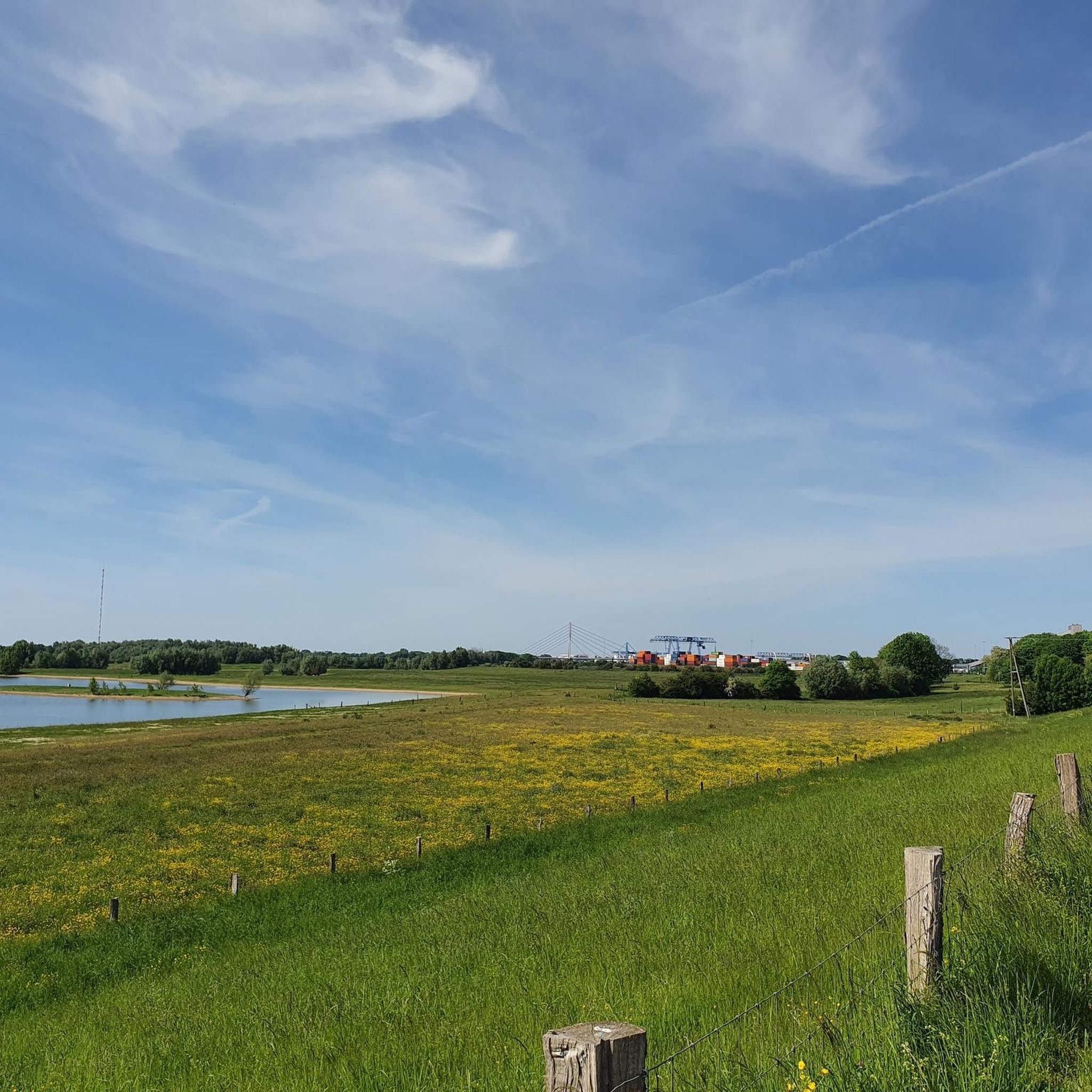
Mountain bike trails in Rheinvorland Zwischen Mehrum Und Emmelsum traverse a landscape characterized by the Rhine river, its floodplains, and adjacent natural areas. The region features a mix of open meadows, such as the Lippe Meadows, and sections of woodland. Canals like the Wesel-Datteln Canal also form part of the terrain, offering varied riding surfaces. The elevation changes are generally gentle, making for accessible routes.
Best mountain bike trails in Rheinvorland Zwischen Mehrum Und Emmelsum
- The most popular mountain bike…
Last updated: October 11, 2026
15
riders
Easy mountain bike ride. Great for any fitness level. Suitable for all skill levels.
5.0
(2)
16
riders
Easy mountain bike ride. Great for any fitness level. Suitable for all skill levels.

5
riders
14.9km
00:56
30m
30m
Easy mountain bike ride. Great for any fitness level. Suitable for all skill levels.
7
riders
Easy mountain bike ride. Great for any fitness level. Suitable for all skill levels.
1
riders
Easy mountain bike ride. Great for any fitness level. Suitable for all skill levels.
Get access to more routes and recommendations from other explorers.
Already have an account?
Our route recommendations are based on thousands of hikes, rides, and runs completed by other people on komoot.
Start today with a free account
Your next adventure awaits.
Popular around Rheinvorland Zwischen Mehrum Und Emmelsum
Tips from the Community

Here you can take a nice break away from the main road.
1
0

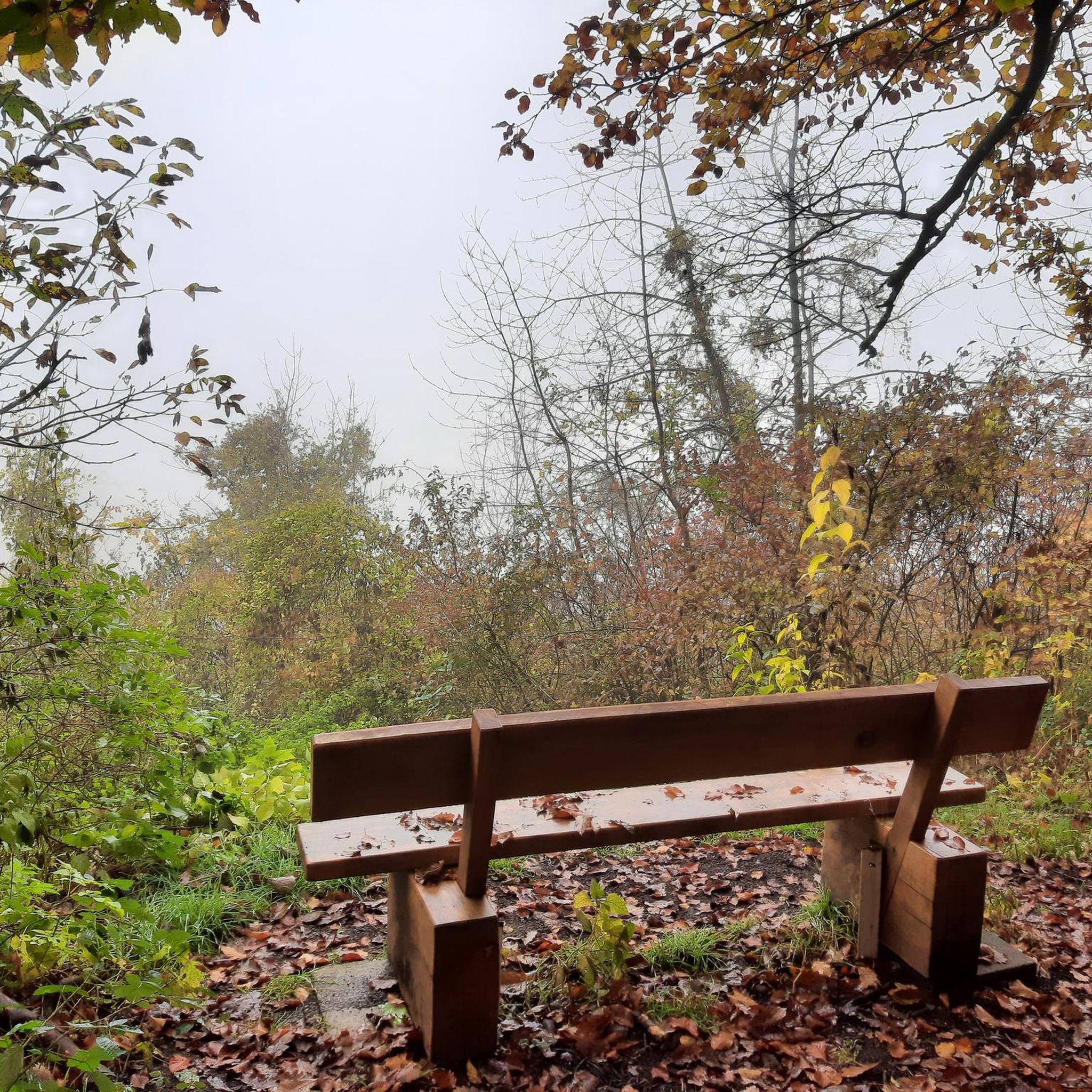
Super nice place to linger and take a break
6
0

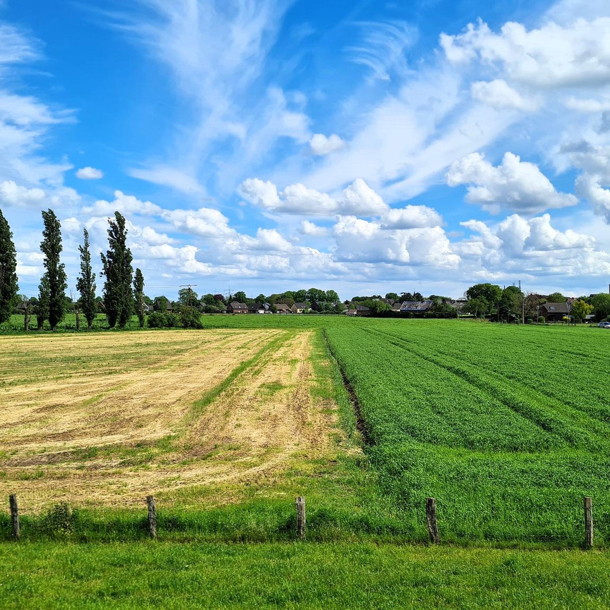
Here, too, the Rhine is a real eye-catcher. Even more interesting in the evening glow and at dusk.
2
0

The Bislicher Island is one of the last large Rhine floodplain areas in Germany and an important nature reserve near Xanten. It offers a protected habitat for rare bird species such as wild geese, cranes and sea eagles. In addition to extensive wet meadows and oxbows of the Rhine, there are well-developed hiking trails and observation points for nature lovers and photographers. It is a hotspot for migratory birds, especially in winter. 🌿🐦 📷
2
0

Simply a dream the Rhine at Ork
2
0
Beautiful wooden bench with table. Thank you dear neighbours
0
0

Unfortunately, the official path is mostly below the crest of the dam, which must not be driven on...so you are denied the magnificent view of the Rhine 🙃. Nevertheless, this gives a clear recommendation for bikes of all kinds.
3
0

Moated castle with gastronomy and the possibility of a wedding.
1
0
Frequently Asked Questions
How many mountain bike trails are available in Rheinvorland Zwischen Mehrum Und Emmelsum?
There are over 380 mountain bike routes available in Rheinvorland Zwischen Mehrum Und Emmelsum, catering to various skill levels. You'll find a good mix of easy, moderate, and difficult trails to explore.
What kind of terrain can I expect on mountain bike trails in Rheinvorland Zwischen Mehrum Und Emmelsum?
The terrain is characterized by the Rhine river's floodplains, open meadows like the Lippe Meadows, and sections of woodland. You'll also encounter canals, such as the Wesel-Datteln Canal, offering varied riding surfaces. Elevation changes are generally gentle, making for accessible routes.
Are there mountain bike trails suitable for beginners in Rheinvorland Zwischen Mehrum Und Emmelsum?
Yes, there are over 120 easy mountain bike routes in the region. An excellent option for beginners is the Bislicher Insel Scenic Path – Bislicher Insel Nature Reserve loop from Rheinaue zwischen Büderich und Perrich, which is 17.7 km long and leads through the scenic Bislicher Insel Nature Reserve.
Are there any challenging mountain bike routes for experienced riders?
Experienced riders will find over 50 difficult mountain bike routes. A notable challenging route is the Wesel-Datteln Canal – Lippe Meadows loop from Mehrum, a 45.7 km trail that offers extensive riding along the canal and through open meadows.
What are the typical lengths of mountain bike trails in this region?
Trail lengths vary significantly. For instance, the easy View of the Rhine at Ork – Deich Cross Ork loop from Kreis Wesel is about 15 km, while the more difficult Wesel-Datteln Canal – Lippe Meadows loop from Mehrum extends to 45.7 km. You'll find options ranging from shorter rides to longer, more enduring tours.
What can I see along the mountain bike trails in Rheinvorland Zwischen Mehrum Und Emmelsum?
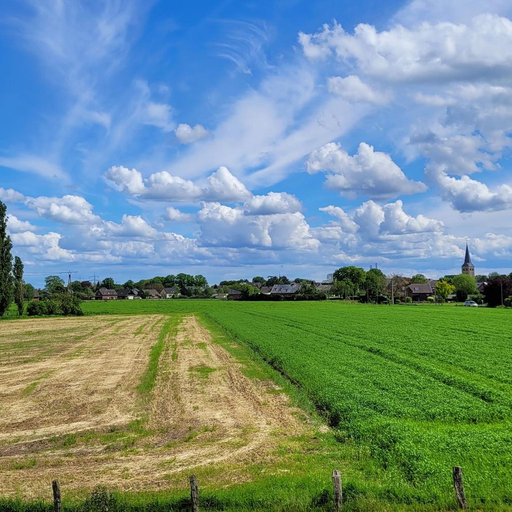
Many routes offer scenic views of the Rhine river and its floodplains. You can also encounter highlights such as the Rhine Dike Trail, the Deich Cross Ork, and various viewpoints like the View of the Rheinvorland between Mehrum and Emmelsum. Nature reserves like Bislicher Insel also provide opportunities to observe local wildlife and landscapes.
Are there mountain bike trails that are loop routes?
Yes, many mountain bike trails in Rheinvorland Zwischen Mehrum Und Emmelsum are designed as loops. Examples include the View of the Rhine at Ork – Wohnungswald Voerde-Möllen loop from Kreis Wesel and the Rooty Descent – Rhine Basin loop from Feuchtgebiet bei Menzelen-Ost, allowing you to start and finish at the same point.
What do other mountain bikers enjoy the most about mountain biking in Rheinvorland Zwischen Mehrum Und Emmelsum?
The area is highly rated by the komoot community, with an average score of 4.5 stars from over 700 reviews. Mountain bikers often praise the varied terrain, the scenic views along the Rhine, and the well-maintained paths through meadows and woodlands.
Is public transport accessible near the mountain bike trails?
While specific public transport connections vary by starting point, the region is generally well-connected by local bus services and regional trains, particularly to larger towns like Wesel. It's advisable to check local transport schedules for the specific trailhead you plan to visit.
Are there parking facilities available at the trailheads?
Many trailheads and popular starting points in Rheinvorland Zwischen Mehrum Und Emmelsum offer designated parking areas. These are often found near nature reserves, villages, or recreational spots. It's recommended to check the tour details on komoot for specific parking information for your chosen route.
What is the best time of year for mountain biking in Rheinvorland Zwischen Mehrum Und Emmelsum?
The spring, summer, and early autumn months (April to October) generally offer the most pleasant conditions for mountain biking, with milder temperatures and less precipitation. However, due to the gentle terrain, many trails can be enjoyed year-round, weather permitting.
Are there any cafes or refreshment stops along the mountain bike routes?
Yes, several routes pass through or near villages and towns where you can find cafes, restaurants, and other refreshment options. Along the Rhine, there are also often riverside kiosks or beer gardens, especially during warmer months. Checking the map for points of interest along your chosen route will help you plan your stops.
Most popular routes in Rheinvorland Zwischen Mehrum Und Emmelsum
Most popular attractions in Rheinvorland Zwischen Mehrum Und Emmelsum

Get inspired with the komoot mobile app


Explore more
Browse the best MTB trails in other regions.
